IMG_0469.jpg
IMG_0470.jpg
IMG_0472.jpg
IMG_0474.jpg
IMG_0476.jpg
IMG_0477.jpg
Click here to return to the main Pictures index.
Click here to return to the main 2011 General Pictures Page.
Click here to go back to Lake District 2011 Page 1.
Click here to go to Lake District 2011 Page 3.
Click here to go to Lake District 2011 Page 4.
Click here to go to Lake District 2011 Page 5.
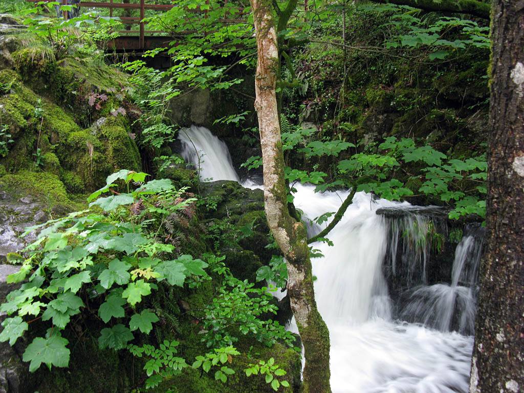
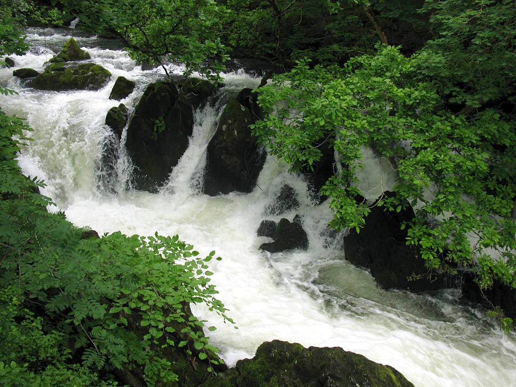
Today we walked our biggest planned walk. Parking at a car park at Elterwater village, we walked Southeast to Skelwith Force waterfall. From Skelwith Bridge we went West to Colwith Force waterfall and before making our way back via Little Langdale and along a cycle path that took us back to Elterwater. The weather was very showery but the rivers were full to overflowing which made the waterfalls, which were in spate, decidedly spectacular.
Click here for more details of the walk.
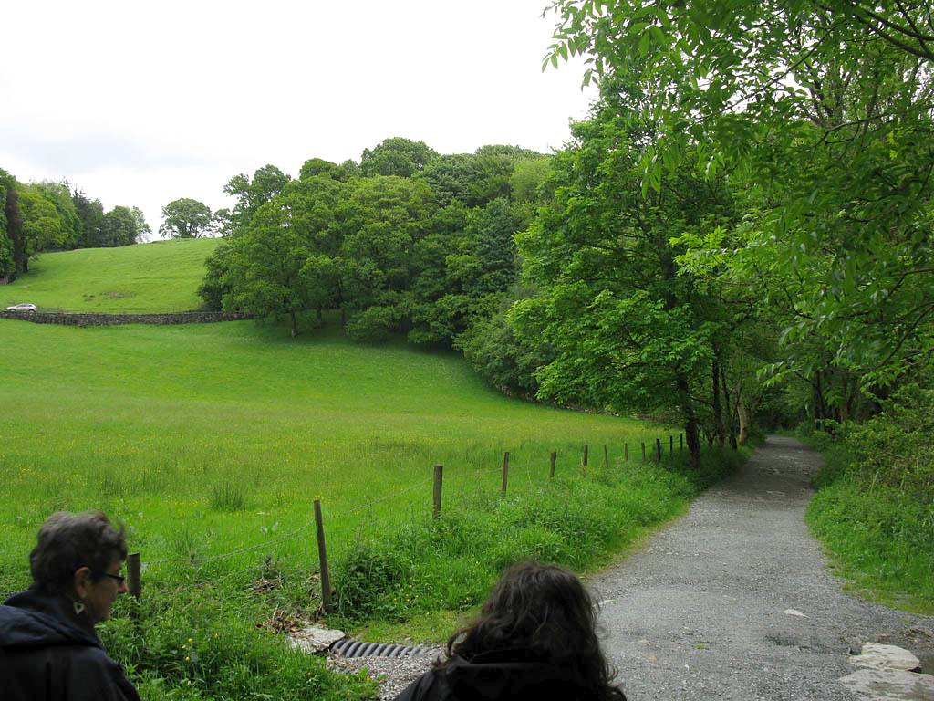
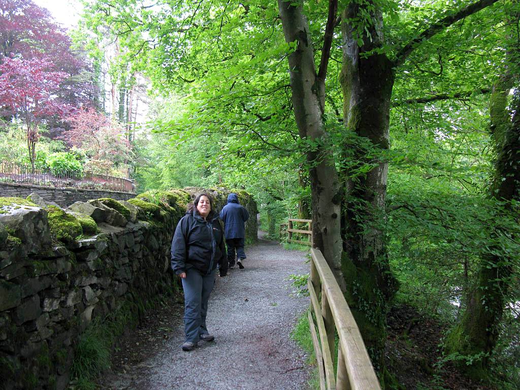
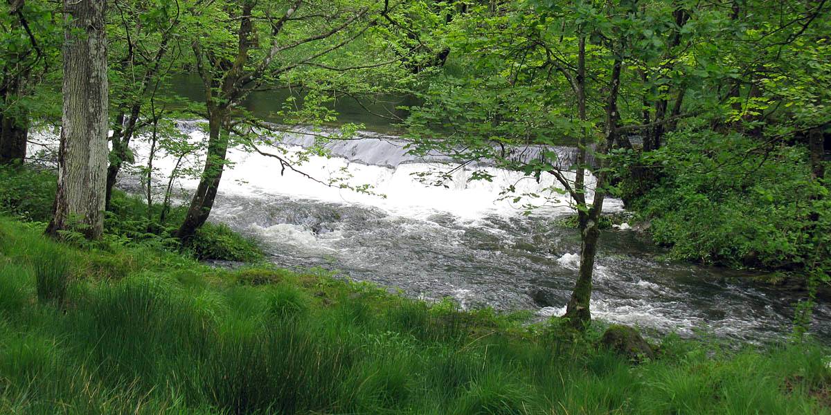
Leg 1: Elterwater to Skelwith Bridge. This was a flat walk that followed Great Langdale Beck downstream to Elterwater, and carried along along the River Brathay that flows out of Elterwater downstream throwugh Skelwith Force waterfall to Skelwith Bridge. Early in this leg we met Sue, a lone walker from Australia, who was walking the same walk, except starting and ending at Little Langdale (so she is a leg ahead of us). We walked together along most of the walk. Was a pleasure to meet you Sue.
|
IMG_0469.jpg |
IMG_0470.jpg |
IMG_0472.jpg |
IMG_0474.jpg |
IMG_0476.jpg |
IMG_0477.jpg |
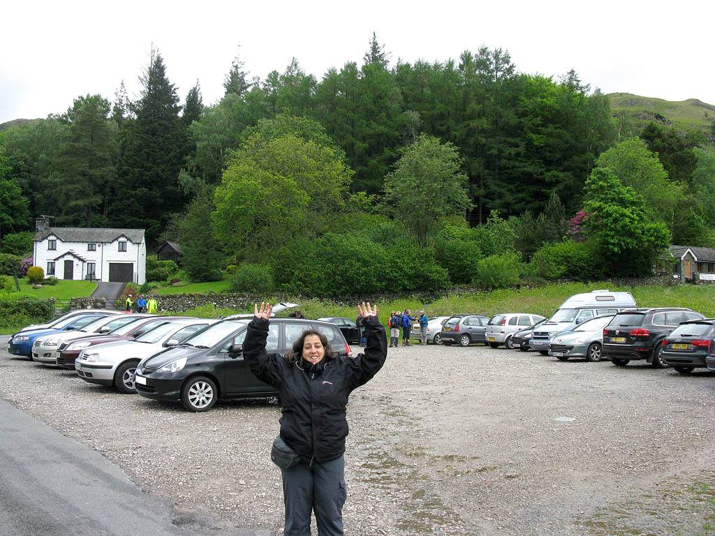
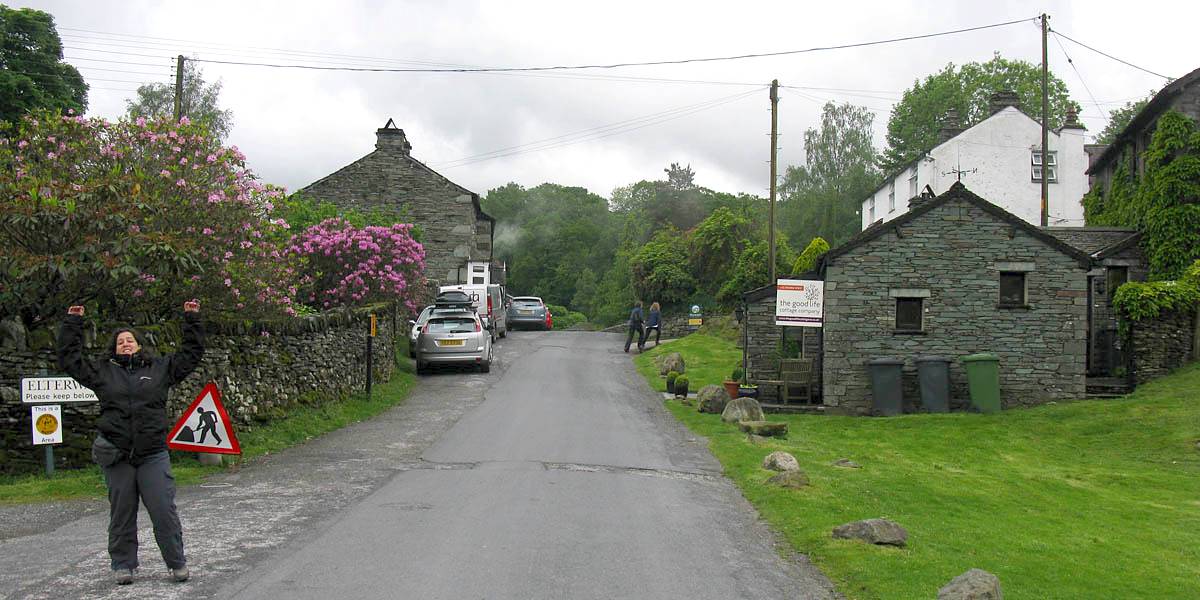
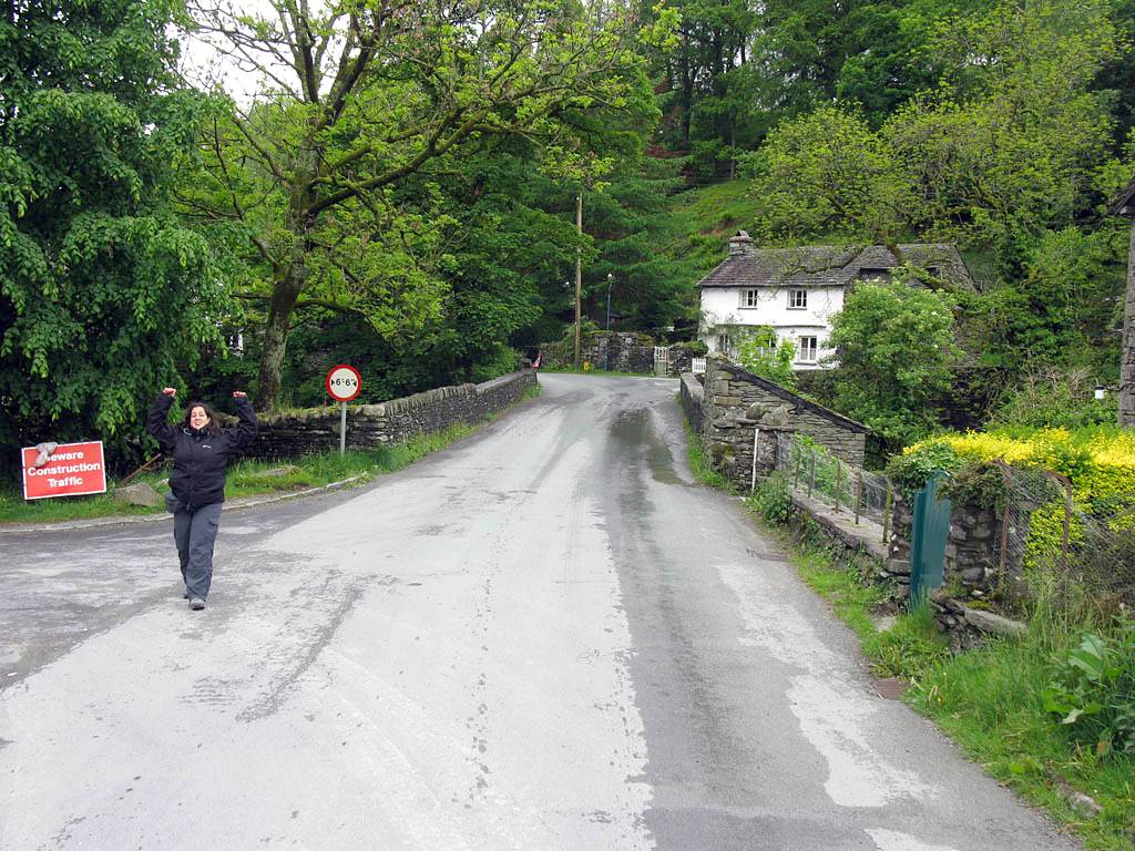
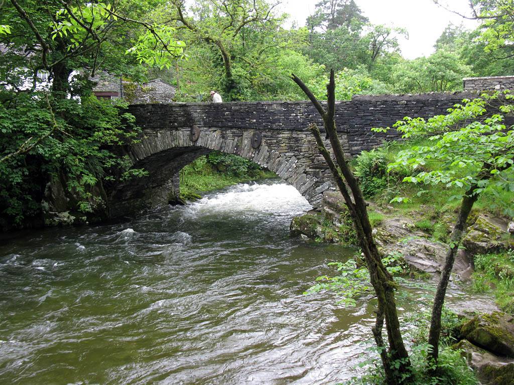
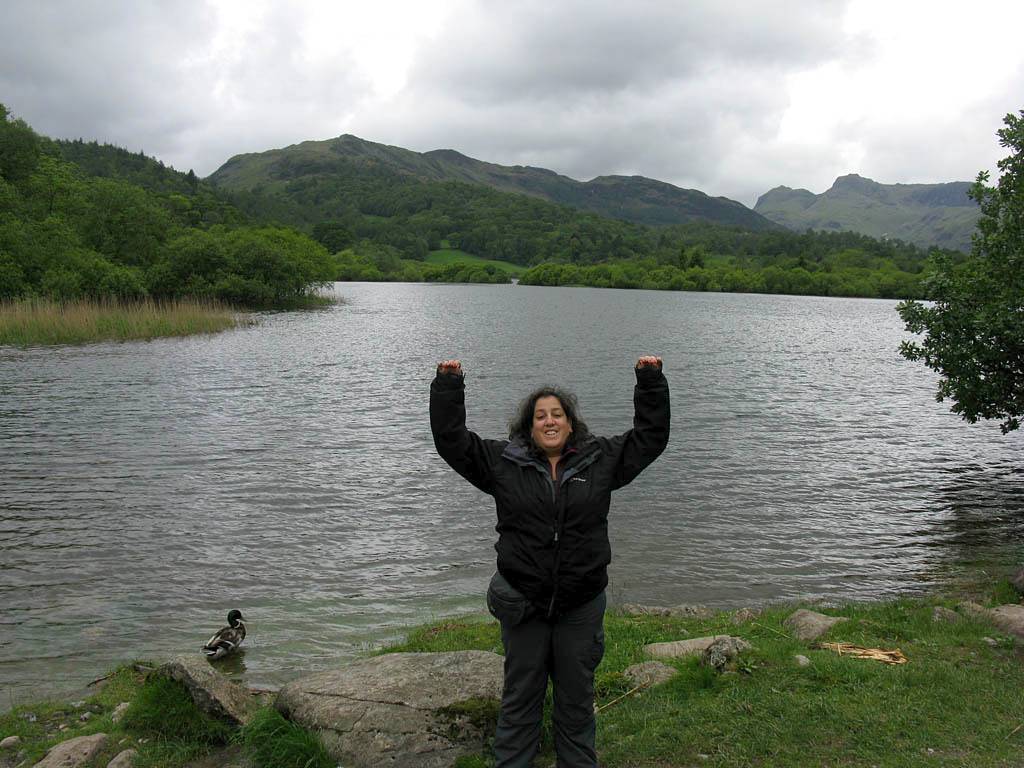
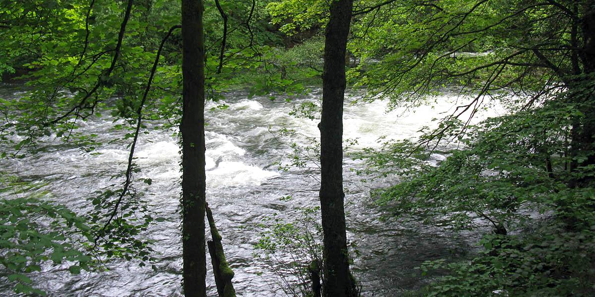
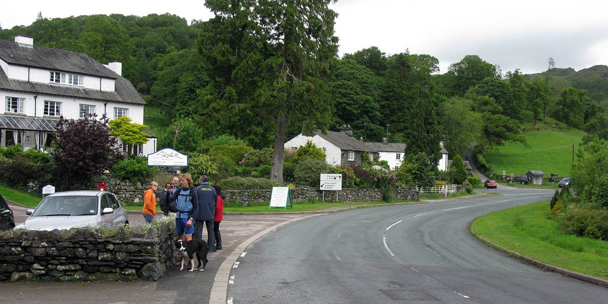
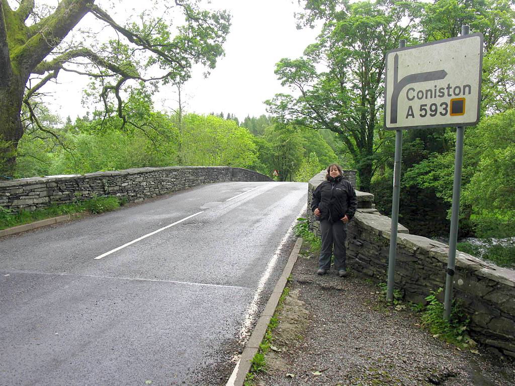
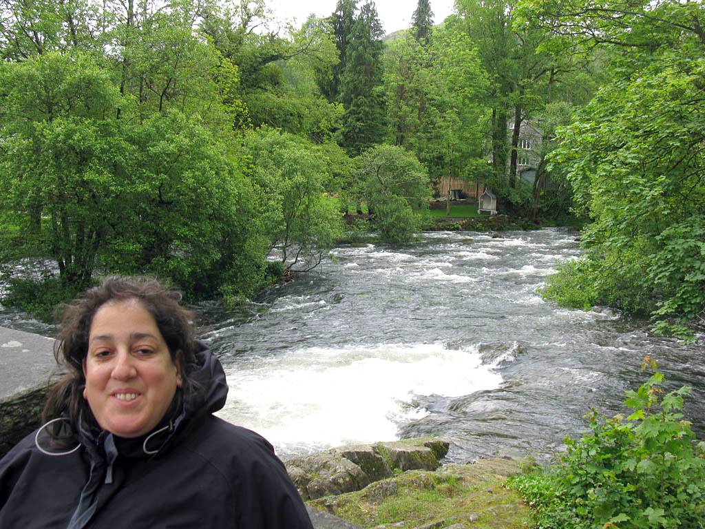
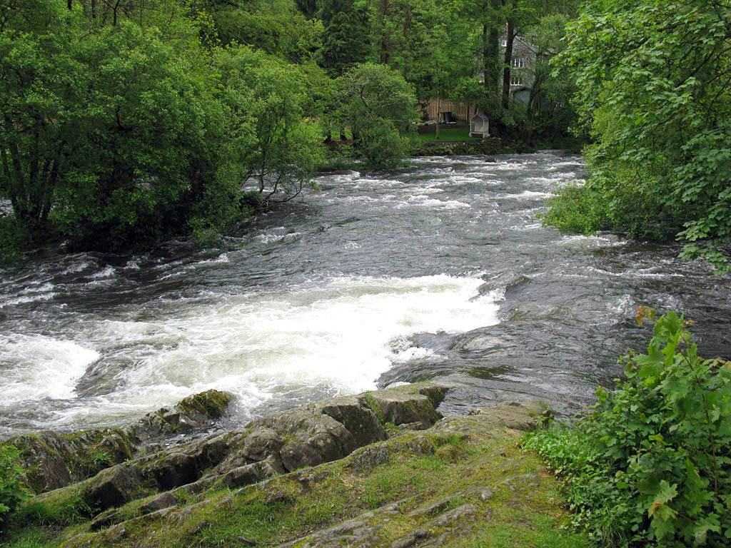
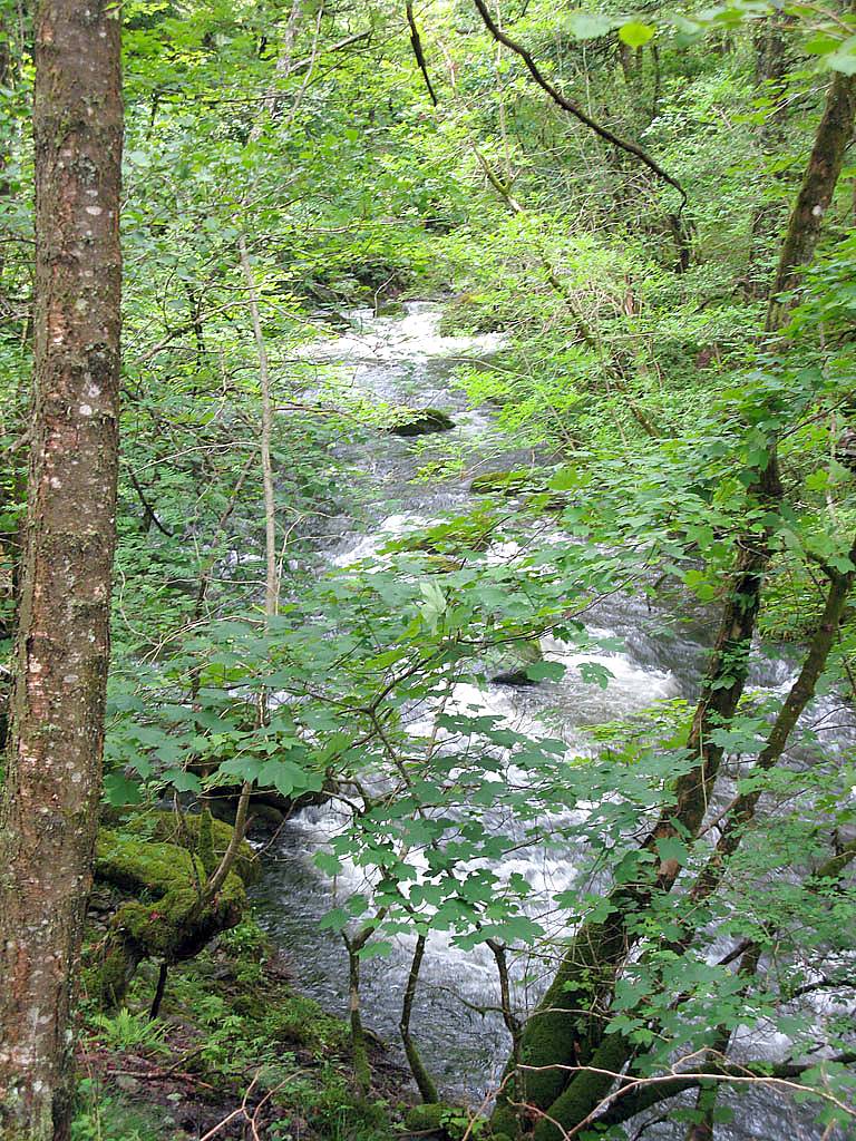
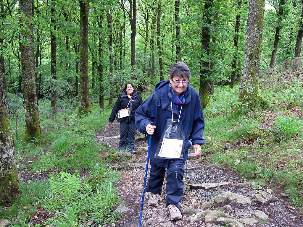
| Renée in good spirits as we park up and walk through Elterwater village to the start point. | The road bridge over the Great Langdale Beck river at the start point. | Walking downstream. The water level is very high and the river is flowing rapidly. | |||
 IMG_0479.jpg |
 IMG_0485.jpg |
 IMG_0486.jpg |
 IMG_0480_0481_Panorama.jpg |
 IMG_0487.jpg |
 IMG_0488.jpg |
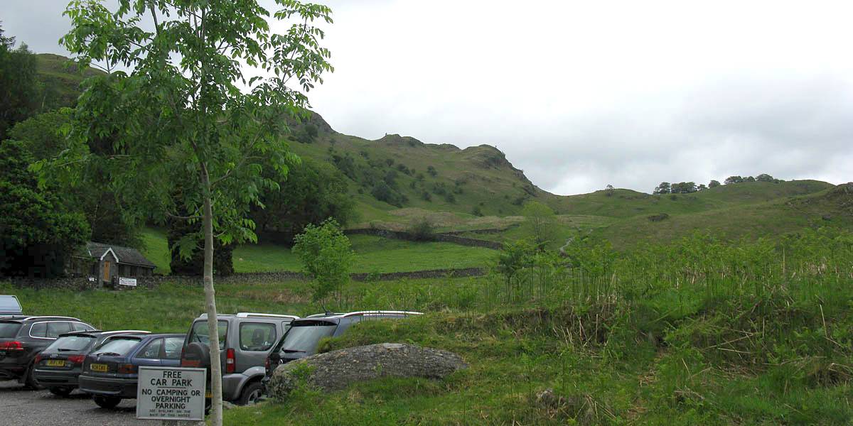
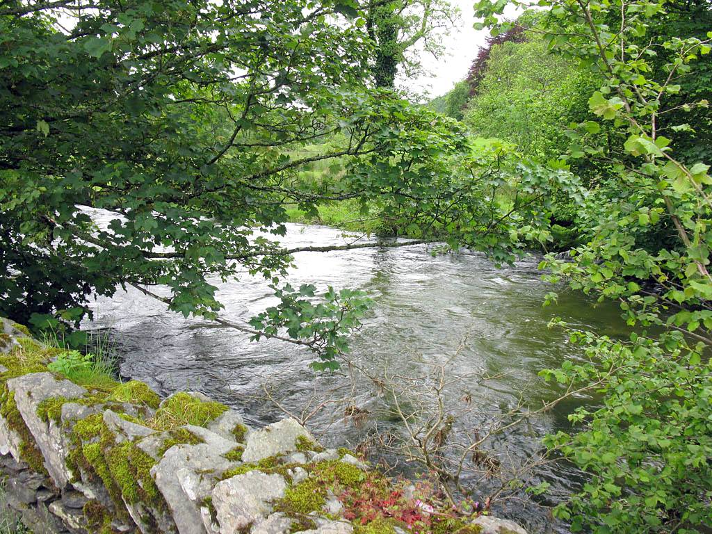
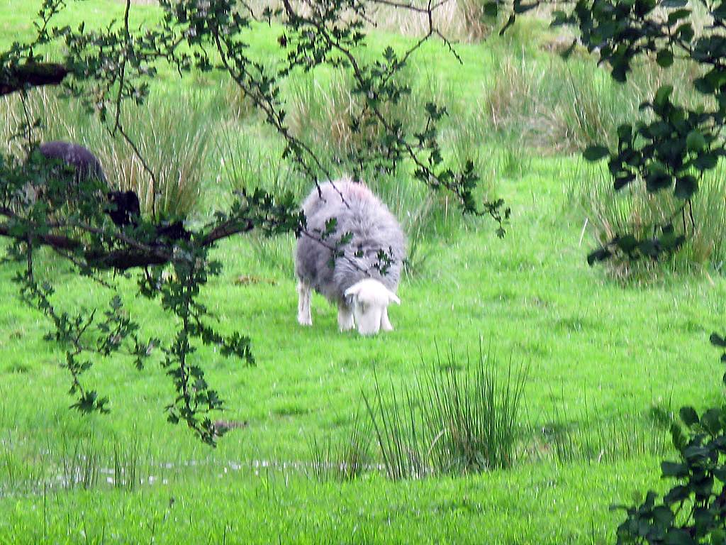
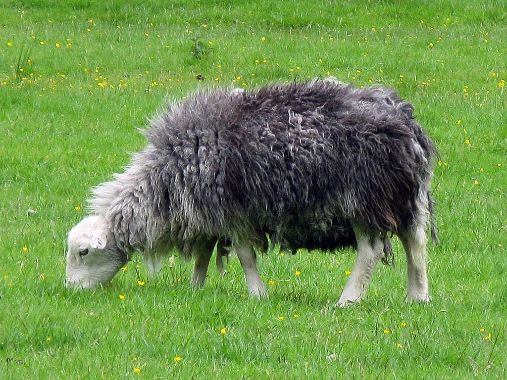
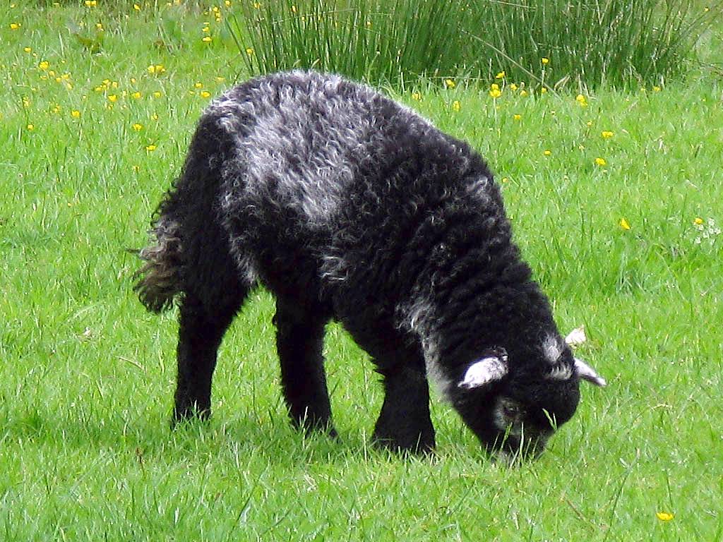
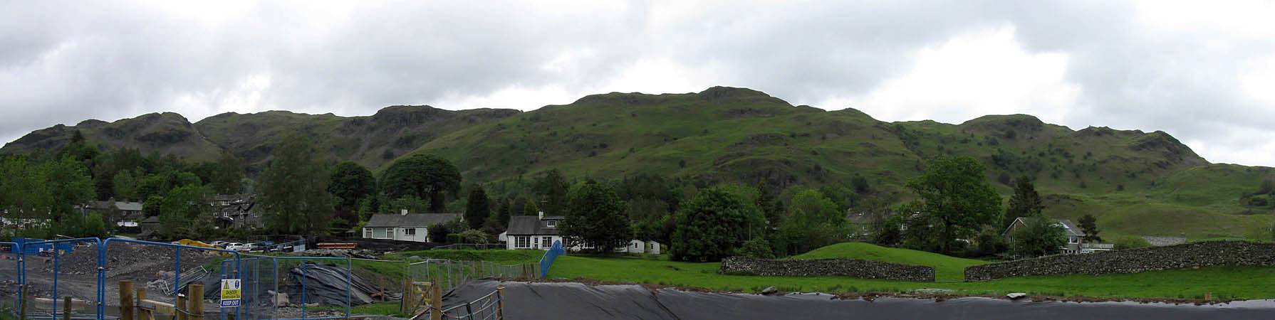
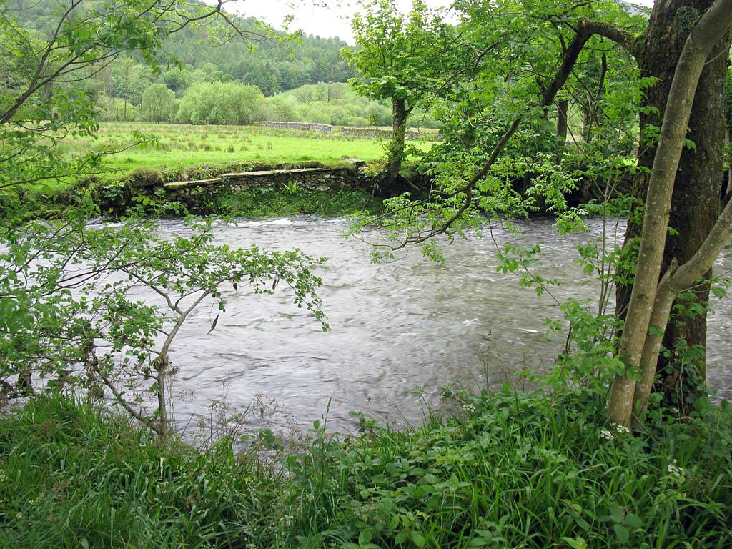
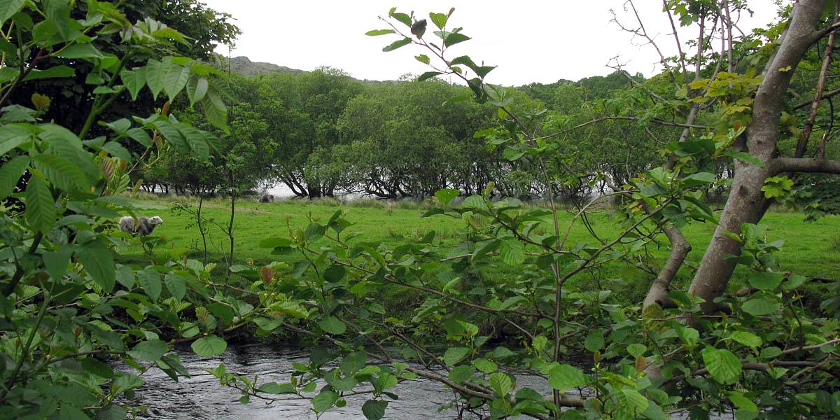
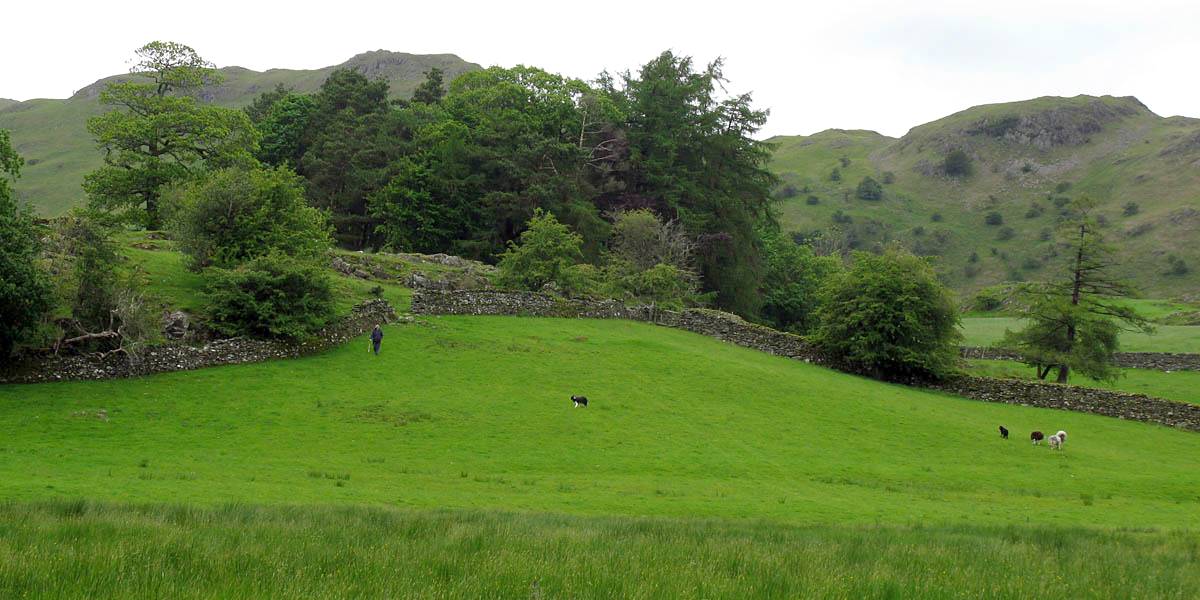
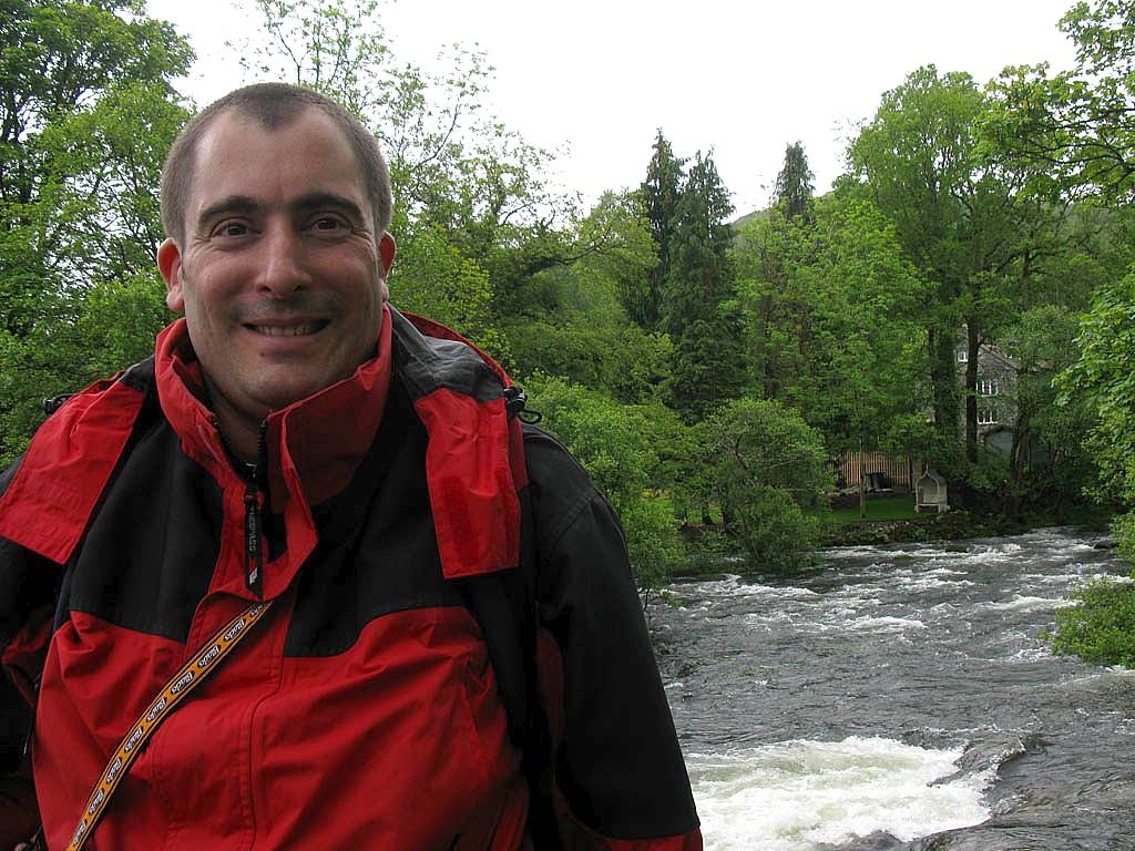
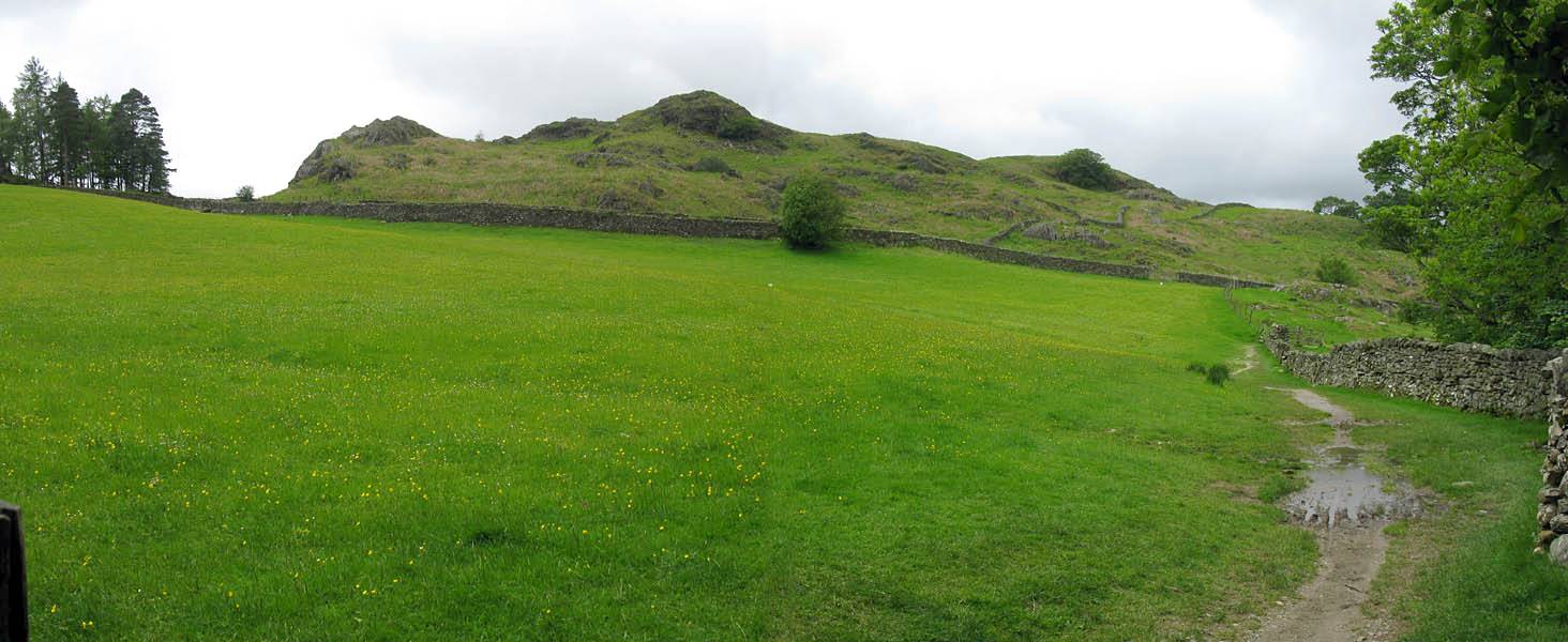
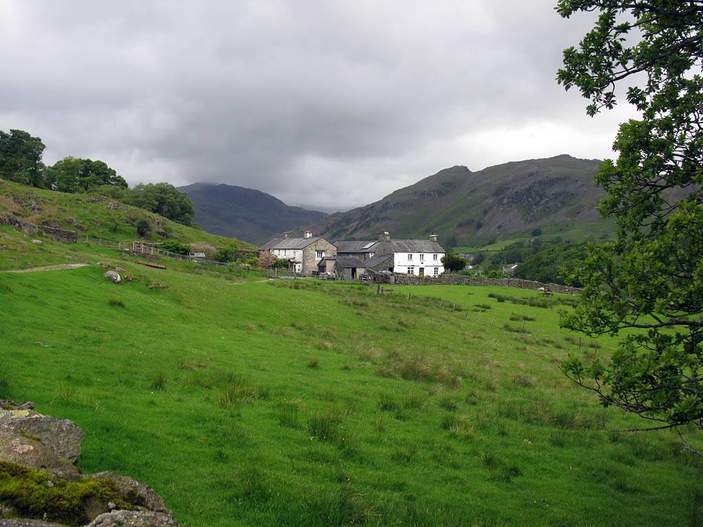
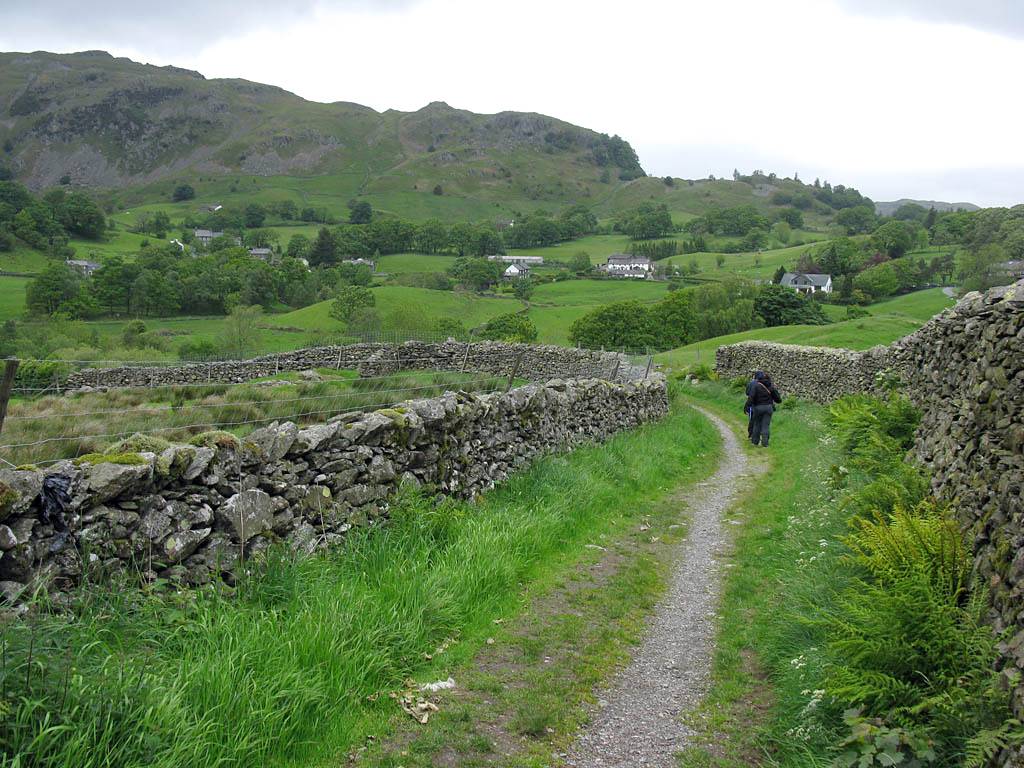
| Sheep grazing close to the river banks and path. There seem to be plenty of grey and black sheep as well as white ones. | Looking behind and to my left at the hills, albeit over a small construction site. | Another look at the surging river as we walk along the well made path. By now we have met Sue. | |||
 IMG_0490.jpg |
 IMG_0492.jpg |
 IMG_0495.jpg |
 IMG_0496.jpg |
 IMG_0500.jpg |
 IMG_0504.jpg |
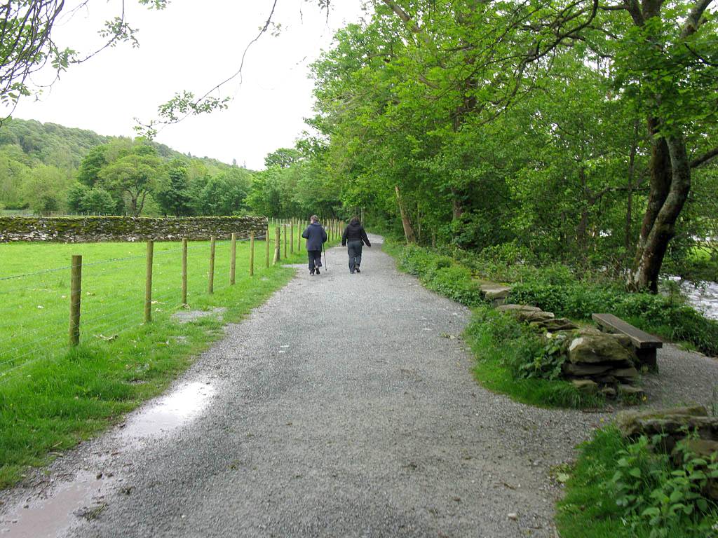
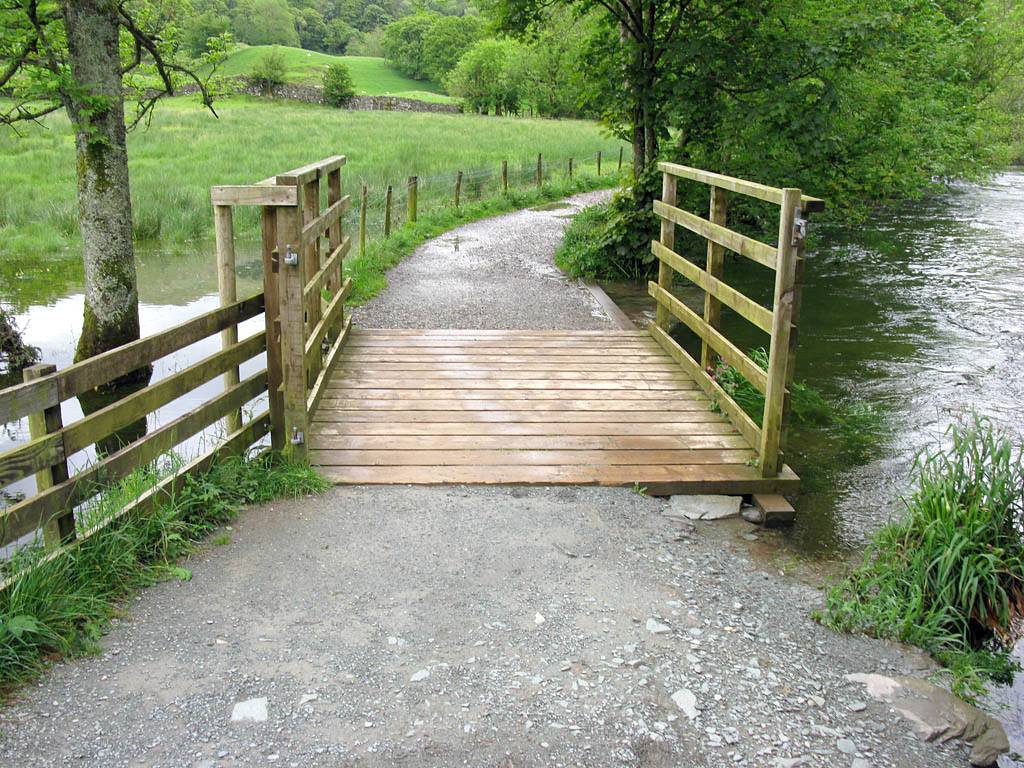
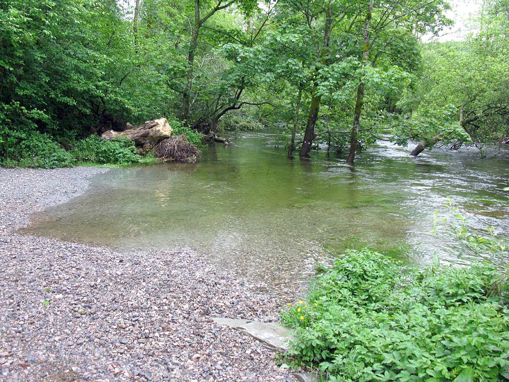
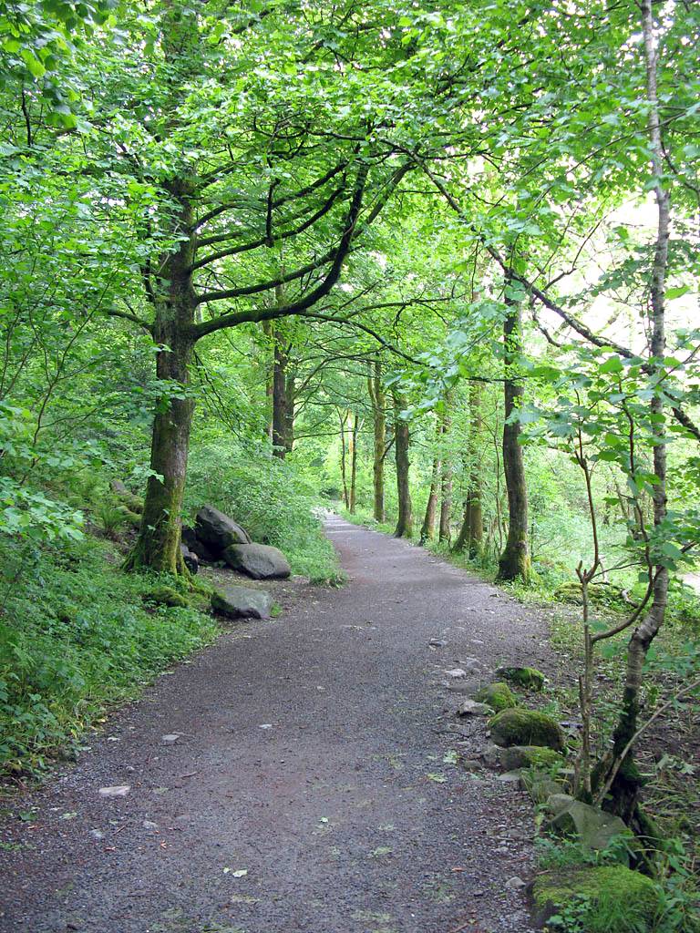
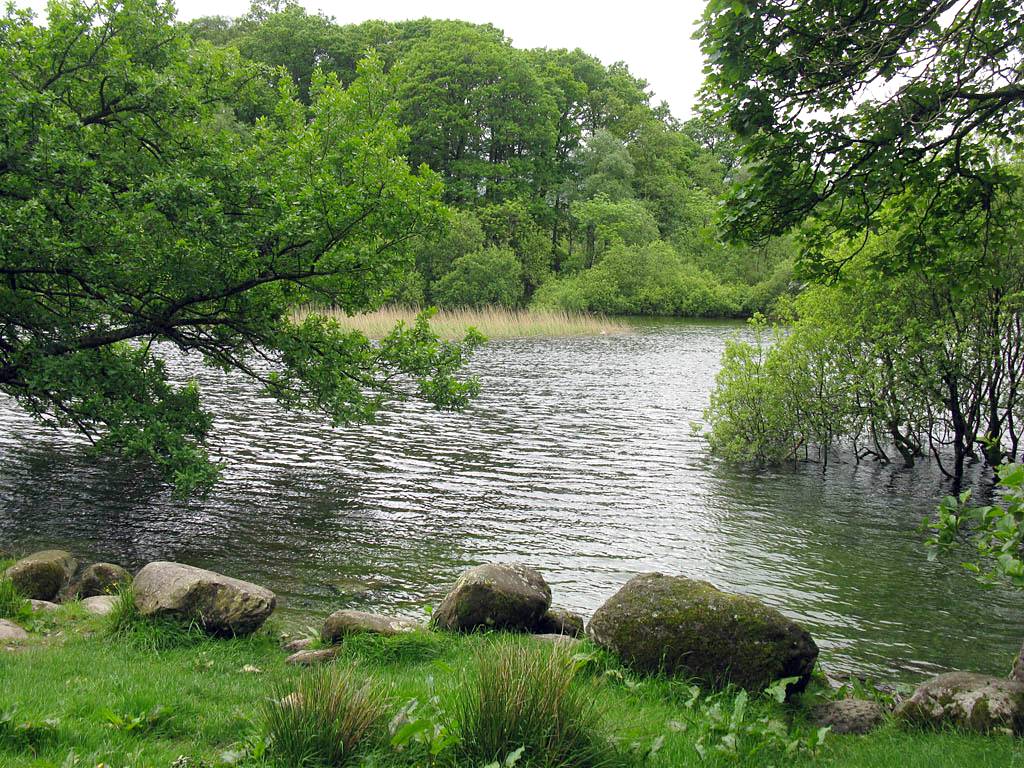
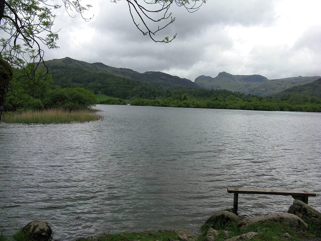
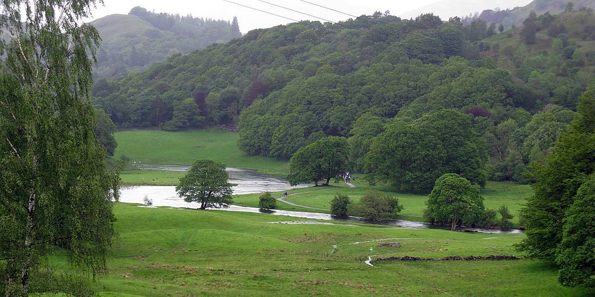
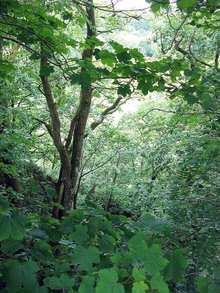
| Looking across the river, Elterwater can be seen through the trees. | A bridge over a side stream. | A local farmer rounding up sheep. | Noting the high level of the river again as we approach woodland. | Following the path into woodland. | |
 IMG_0506.jpg |
 IMG_0508.jpg |
 IMG_0509.jpg |
 IMG_0510.jpg |
 IMG_0511.jpg |
 IMG_0513.jpg |
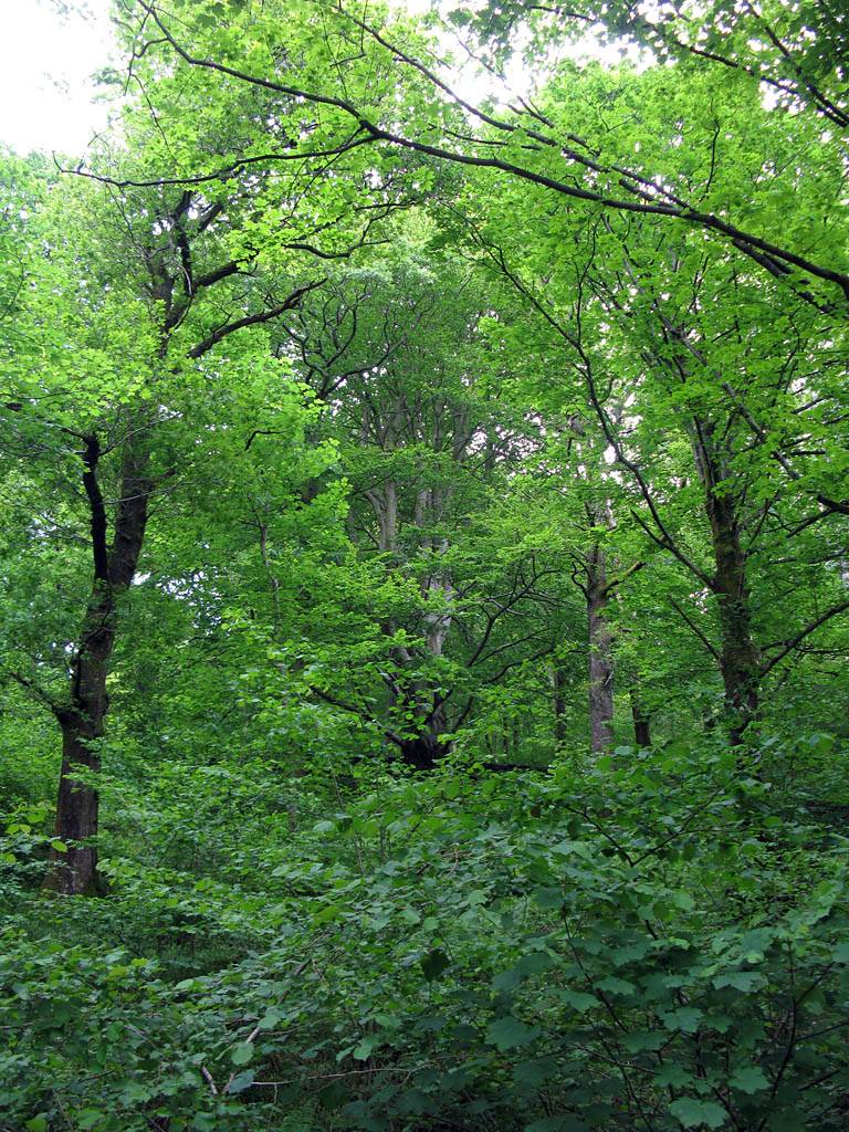
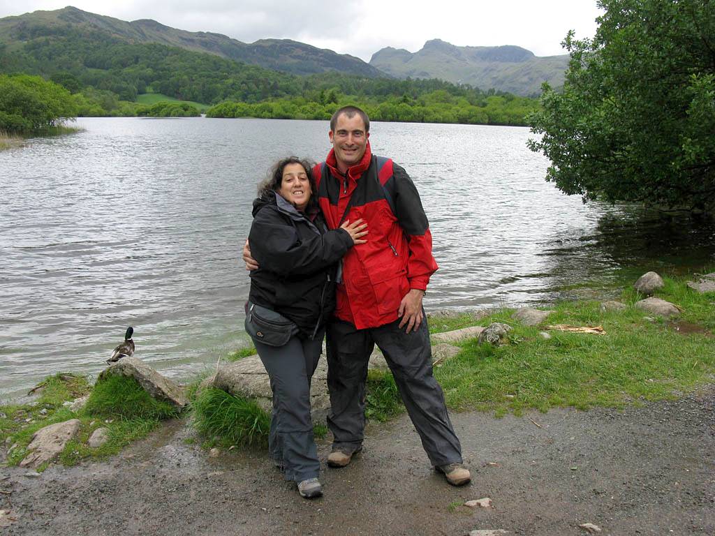
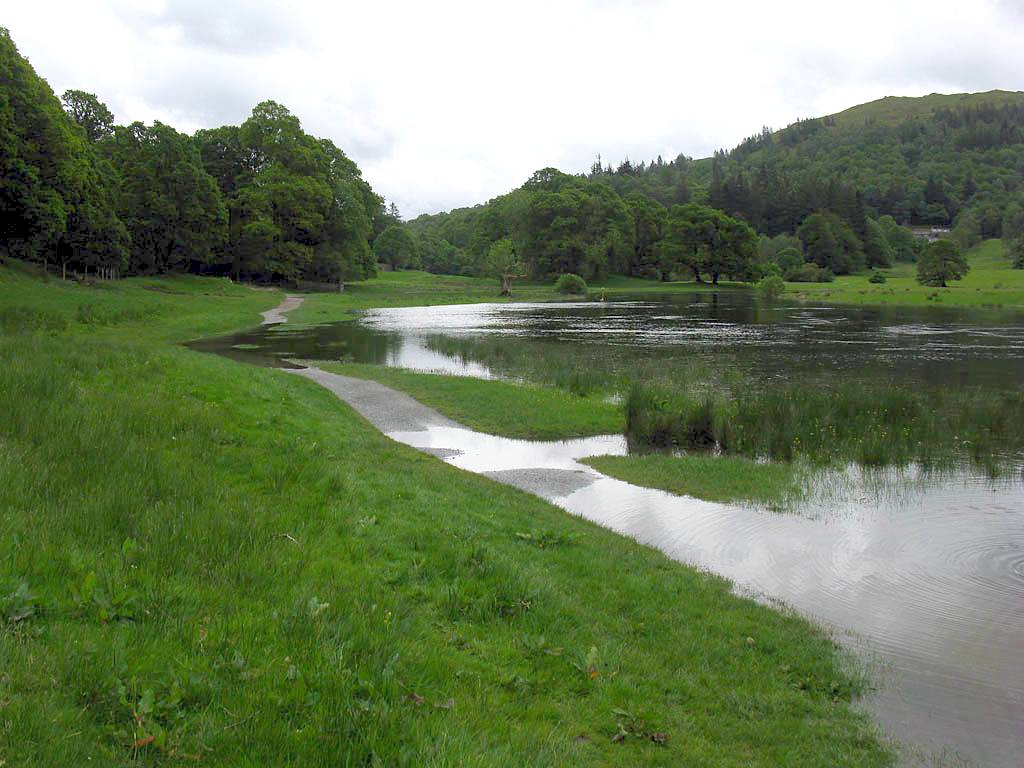
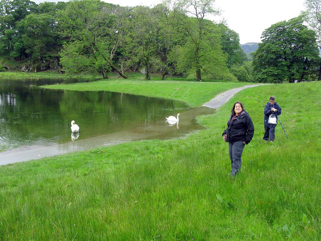
| Woodland trees in full summer leaf. | Views of Elterwater. Thanks to Sue for taking the picture with both Renée and I in it. | Up ahead the river is flooding the path slightly. No problem walking round on the sloping grass bank. | |||
 IMG_0514.jpg |
 IMG_0515.jpg |
 IMG_0516.jpg |
 IMG_0517.jpg |
 IMG_0518.jpg |
 IMG_0519.jpg |
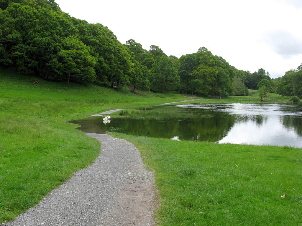
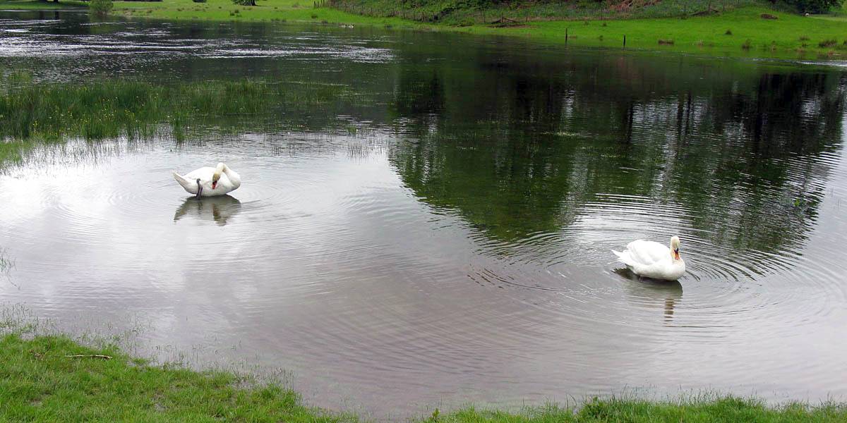
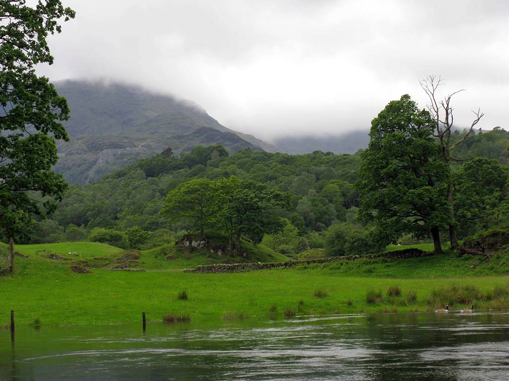
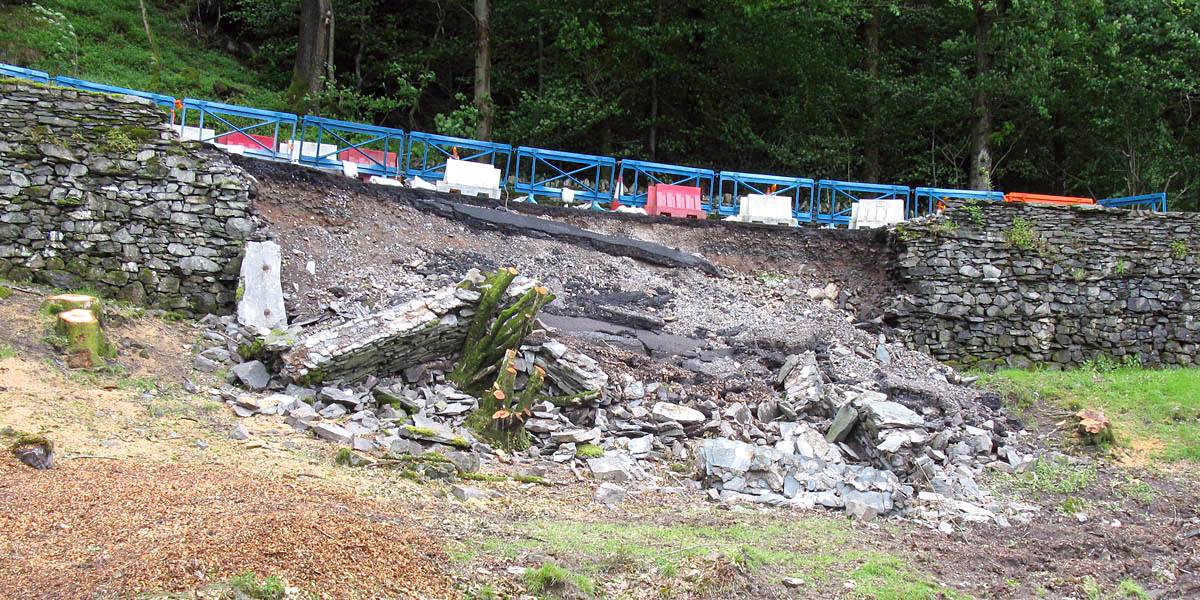
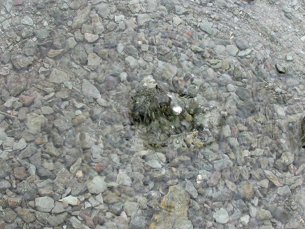
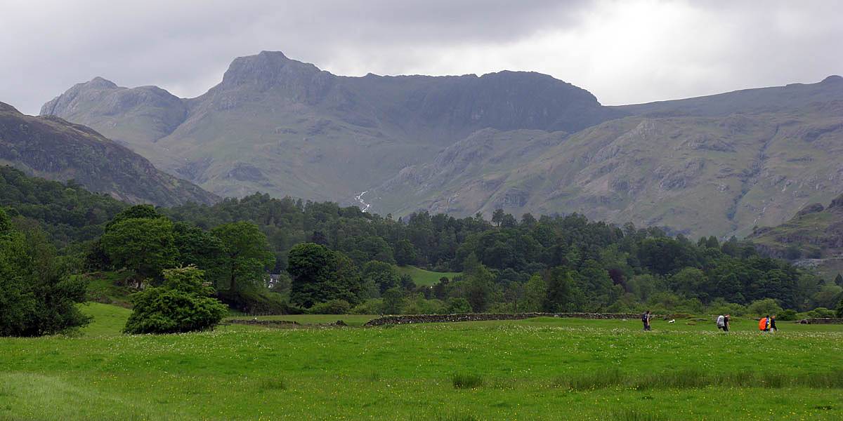
| The swans own the path now! | Walking round the flooded sections on the grass bank. | To the Southwest the scene is moody. | The section where a landslide took out half the road. | Water forcing itself up through a hole in the path. | |
 IMG_0524.jpg |
 IMG_0526.jpg |
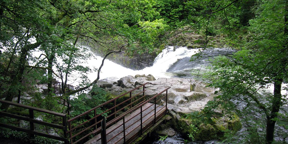 IMG_0528.jpg |
 IMG_0532.jpg |
 IMG_0535.jpg |
 IMG_0537.jpg |
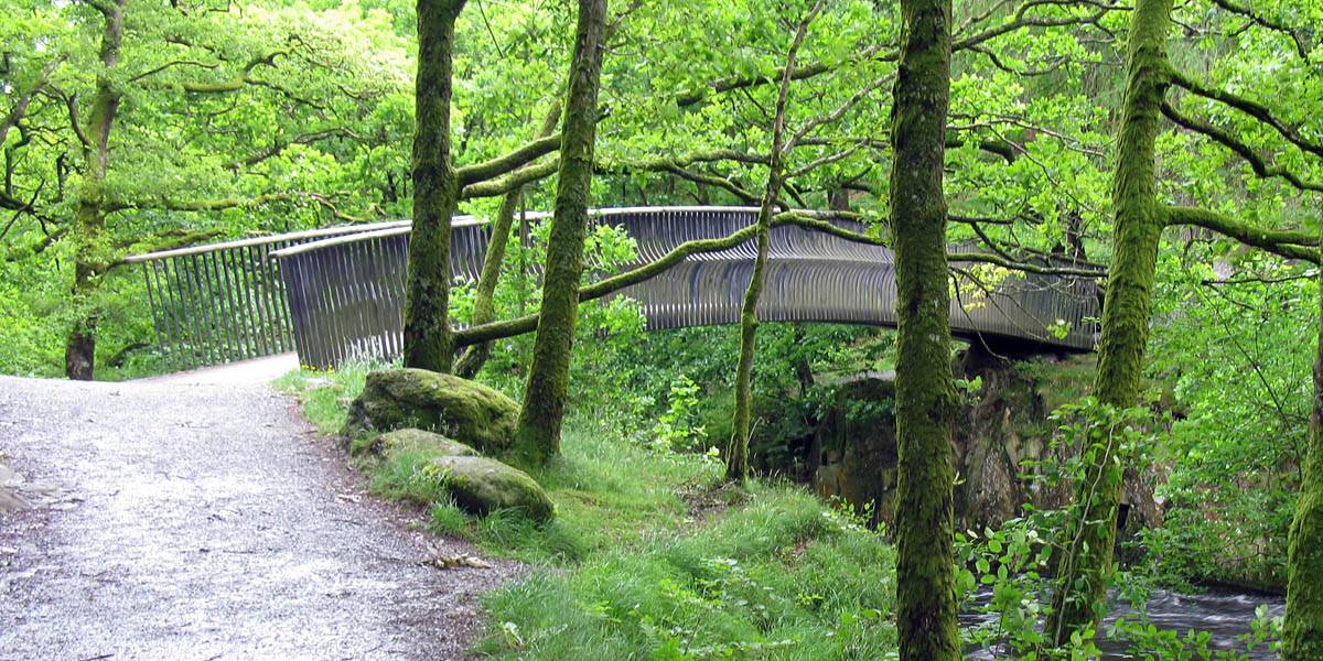
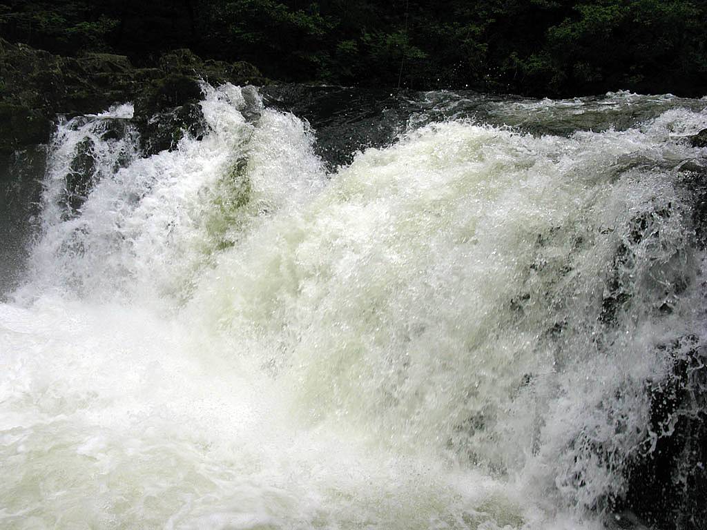
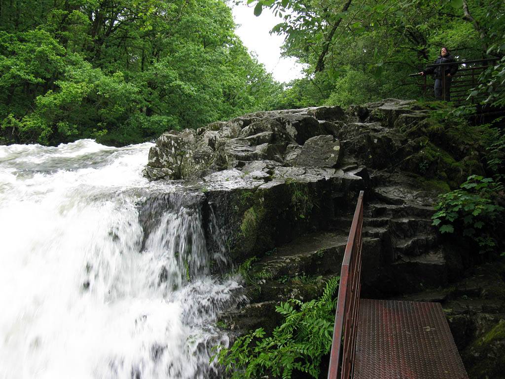
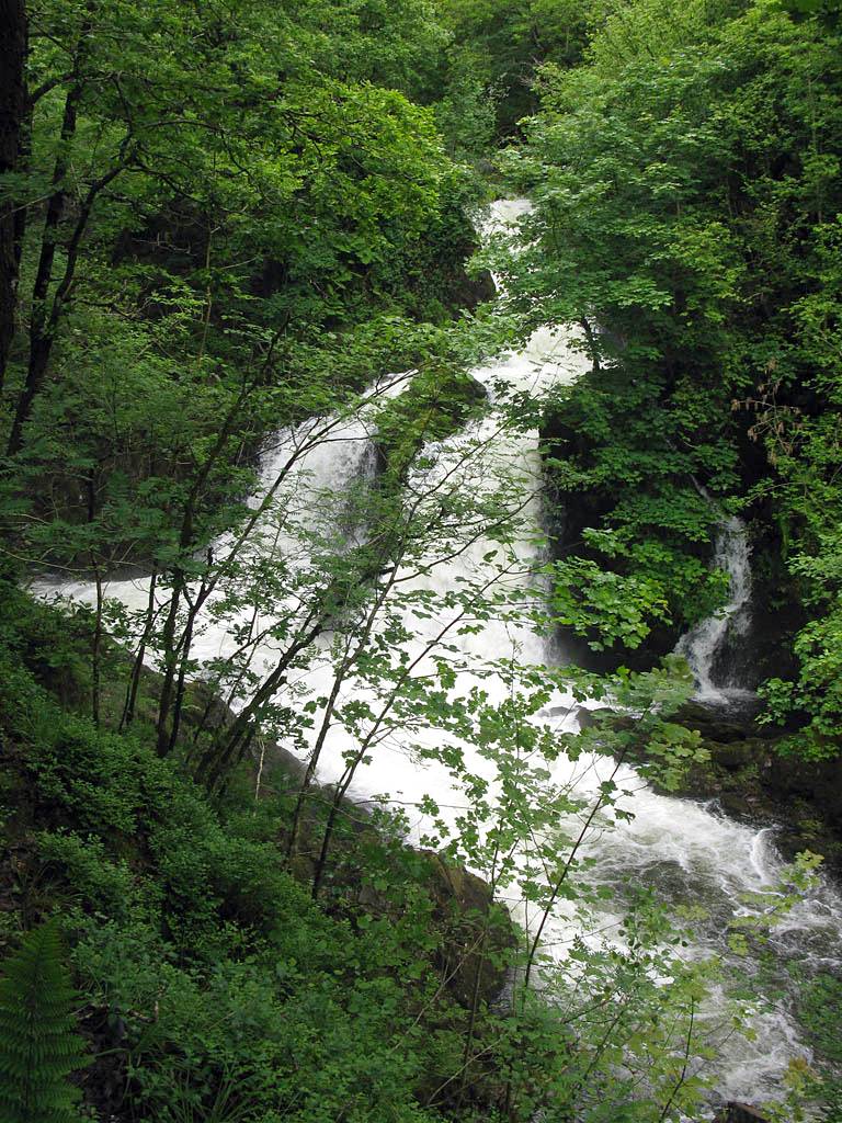
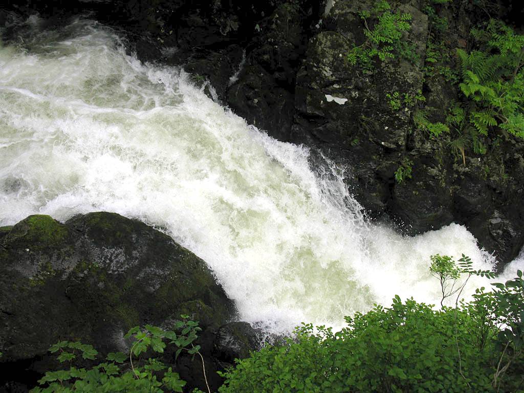
| Looking Southwest to the Furness Fells. | The bridge over the river just upstream of Skelwith Force. | Skelwith Force in spate and looking spectacular. | |||
 IMG_0538.jpg |
 IMG_0539.jpg |
 IMG_0540.jpg |
 IMG_0541.jpg |
 IMG_0542.jpg |
 IMG_0543.jpg |
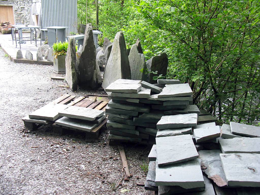
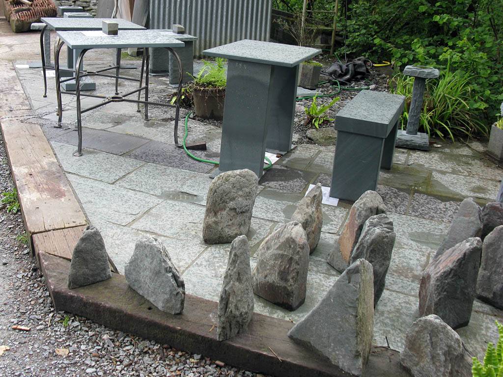
| Slow exposure of side waterfall. | Walking onwards downstream to Skelwith Bridge. | Slate company at Skelwith Bridge. | |||
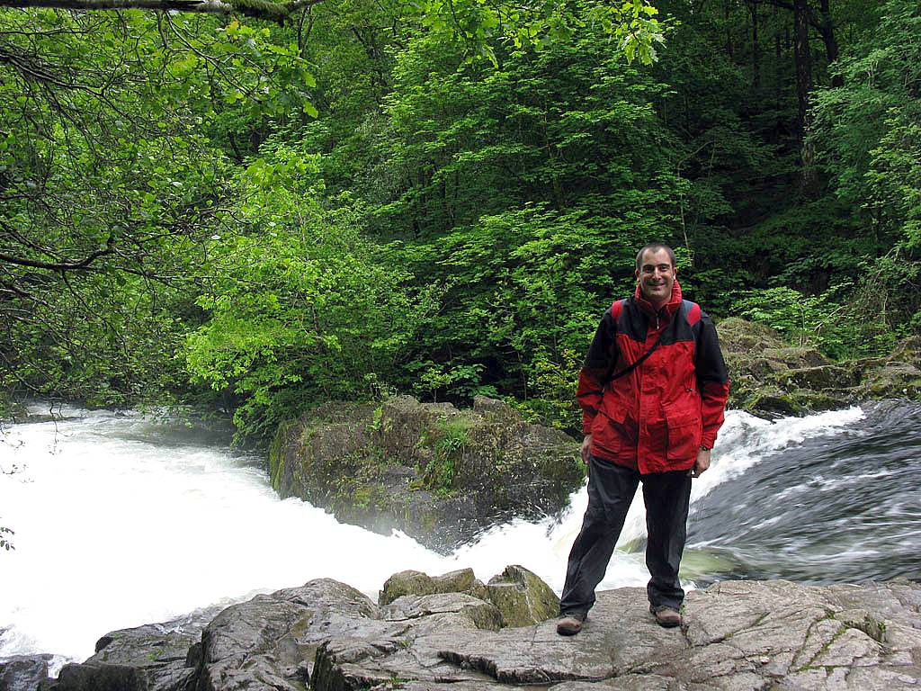
 IMG_0544.jpg |
 IMG_0546.jpg |
 IMG_0547.jpg |
 IMG_0548.jpg |
 IMG_0549.jpg |
| Skelwith Bridge. | Posing at Skelwith Bridge over an angry looking river. | |||
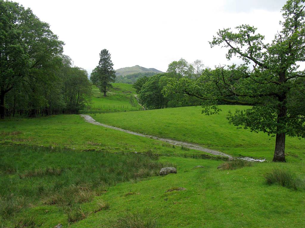
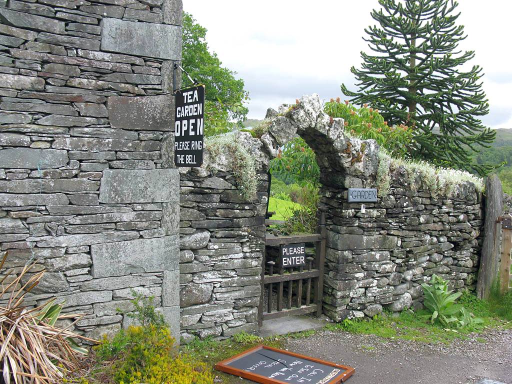
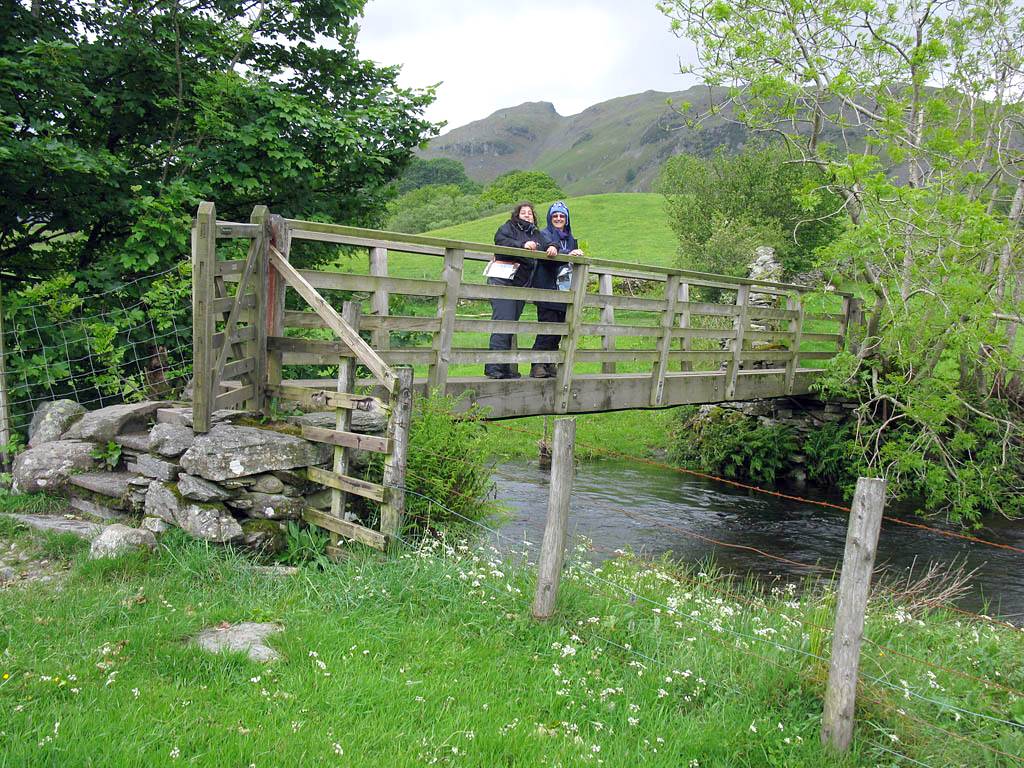
Leg 2: Skelwith Bridge to Little Langdale. From Skelwith Bridge we followed the Cumbria Way footpath Westwards. After an undulating but relatively boring stretch we arrived at Park Farm where we found a tea garden. This was a good spot for a lemonade break and loo stop. After a good rest we continued Westwards, bumping into Sue again on the way. We reached the Greenburn Beck river and followed it upstrfeam to the spectacular Colwith Force Waterfall, which was the highlight of the walk and well worth the trek. After that we carried on out of the woods and after a short distance along a road found a field which appeared to be the way across the river to Little Langdale. I went down to the river to find several submerged stepping stones with water surging across them. No way! So back up to the road and a bit further along was another way across. This time a narrow bridge got us safely across and we emerged by the pub and Wilson Place in Little Langdale.
 IMG_0553.jpg |
 IMG_0554.jpg |
 IMG_0555.jpg |
 IMG_0557.jpg |
 IMG_0558.jpg |
 IMG_0559.jpg |
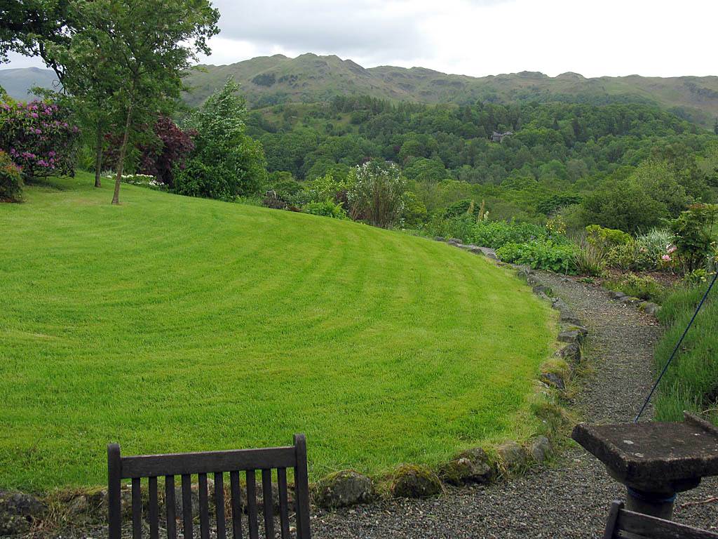
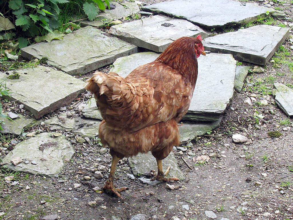
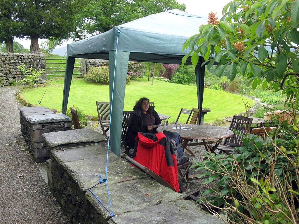
| Looking back at the flooded first leg as we head Westwards. | The undulating path westwards towards Park Farm and Colwith. | The garden at the Park Farm lemonade stop. | A chicken guarding the loo. | Having a lemonade break at the tea garden. | |
 IMG_0560.jpg |
 IMG_0561.jpg |
 IMG_0562.jpg |
 IMG_0563_0564_Panorama.jpg |
 IMG_0565.jpg |
 IMG_0567.jpg |
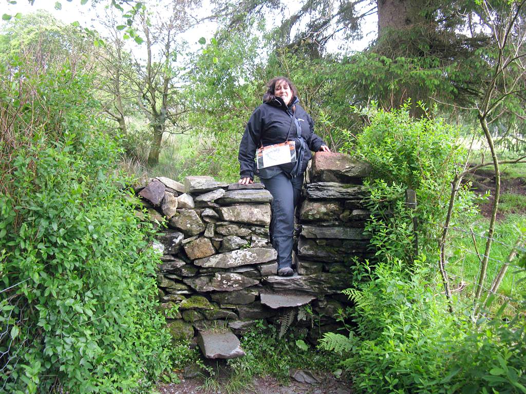
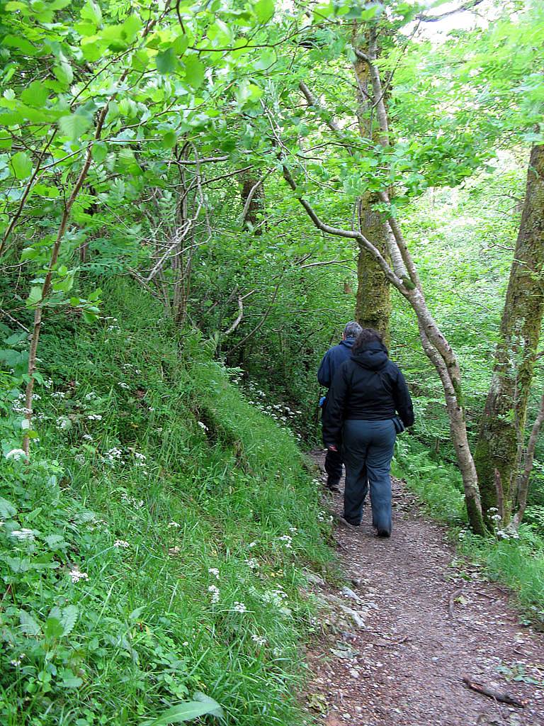
| More tea garden views. | Climbing over a cool looking stone stile. | Crossing a pleasant meadow to woodland. | Into the woods as we approach Colwith Force. | ||
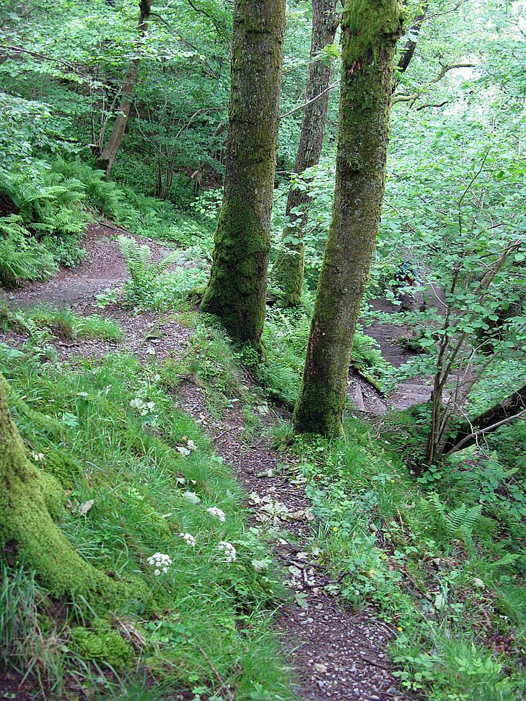 IMG_0568.jpg |
 IMG_0569.jpg |
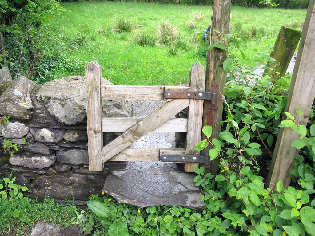
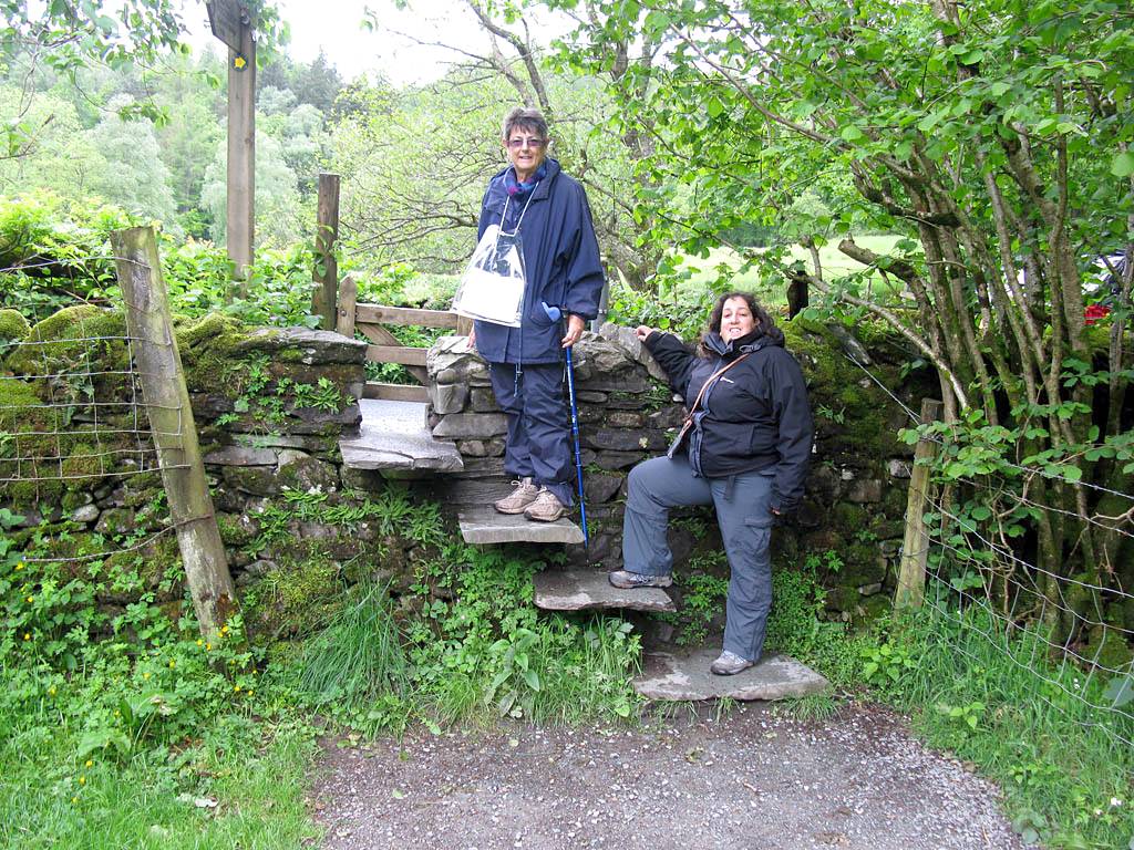 IMG_0572.jpg |
 IMG_0573.jpg |
 IMG_0575.jpg |
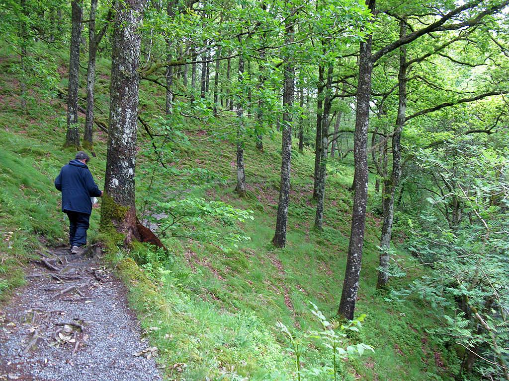
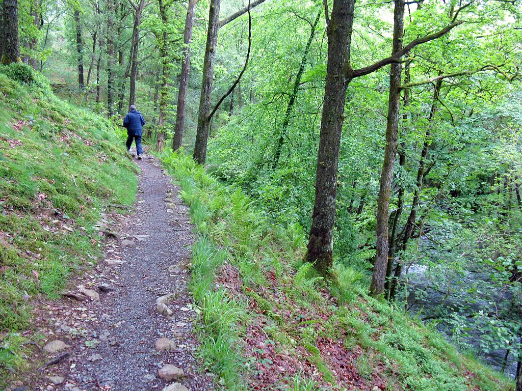 IMG_0577.jpg |
| Steep downslope in the woods. | Sue and Renée posing on another stone stile. | This stile had a quaint little wooden gate attached to it. | Carrying on along the path as we close in on Colwith Force. | ||
 IMG_0578.jpg |
 IMG_0581.jpg |
 IMG_0582.jpg |
 IMG_0586.jpg |
 IMG_0587.jpg |
 IMG_0588.jpg |
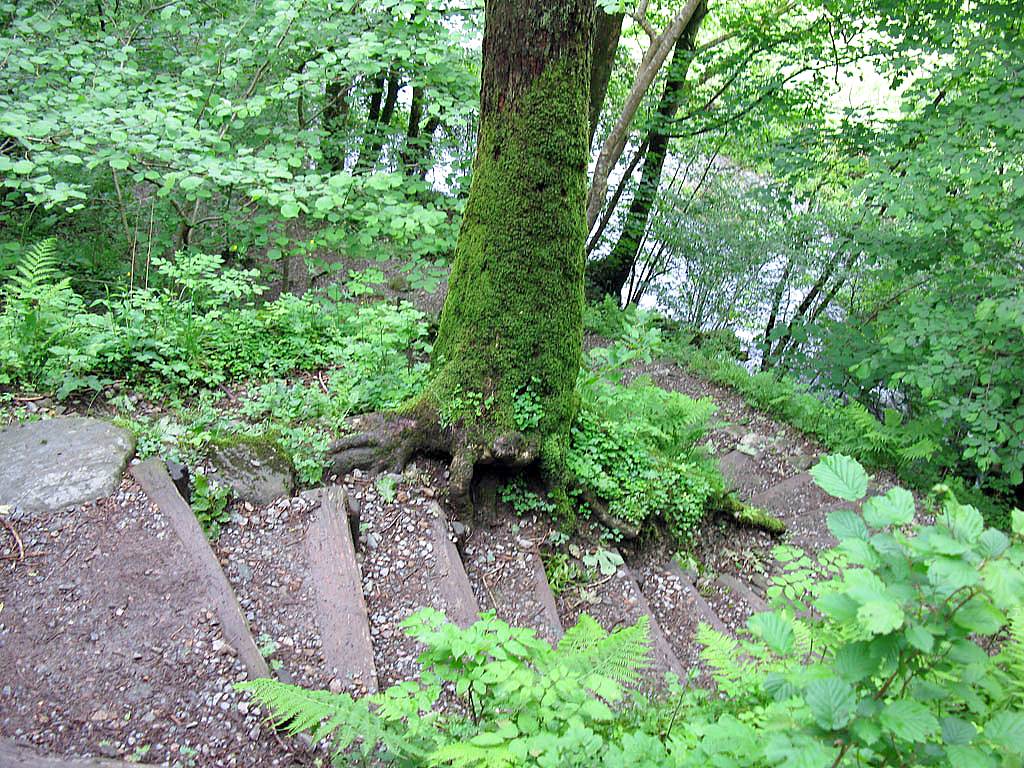
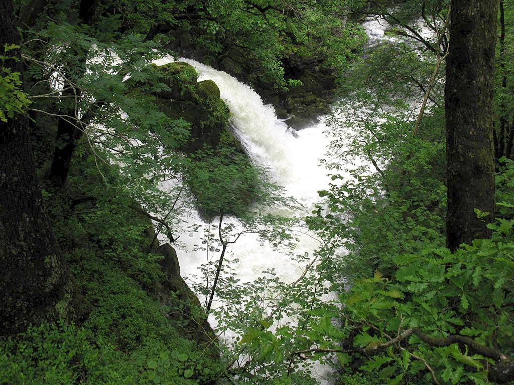
| A very turbulent river below! | Colwith Force in full spate. | Walking up to the top of the waterfall. | The spectacular upper end of Colwith Force. | ||
There is a You Tube video of Colwith Force that was taken on my iPhone. Please click here to view it.
 IMG_0589.jpg |
 IMG_0592_0593_Panorama.jpg |
 IMG_0594.jpg |
 IMG_0596.jpg |
 IMG_0597_0601_Panorama.jpg |
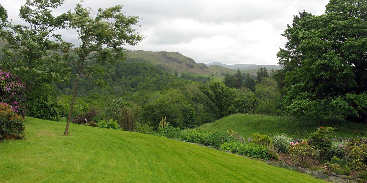
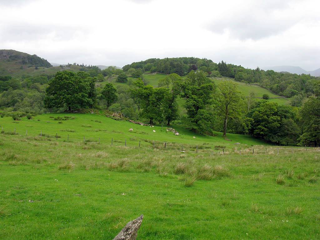
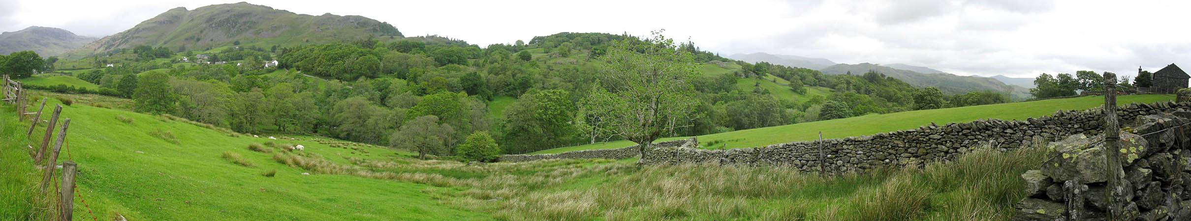
| Another smaller waterfall just upstream of Colwith Force. | Emerging from the woods with High Park up ahead. | Just West of High Park, looking north down to Greenburn Beck where the submerged stepping stones were. Little Langdale visible in the distance in the panorama. | ||
 IMG_0603_0607_Panorama.jpg |
 IMG_0608.jpg |
 IMG_0609.jpg |
 IMG_0610.jpg |
 IMG_0611.jpg |
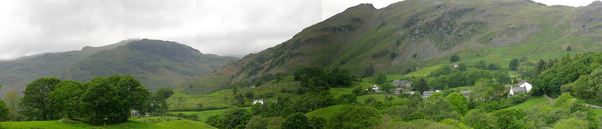
| Little Langdale nestling under Lingmore Fell as we descend towards the river. | The path to the river. | The bridge across tghe river South of Wilson Place. | Sheltering under a cover at the pub at Little Langdale as a very heavy shower rattles through. Timing or what! | |
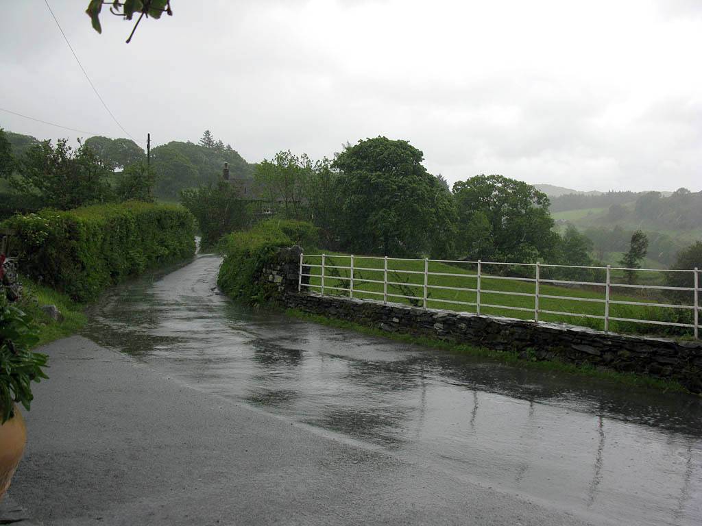
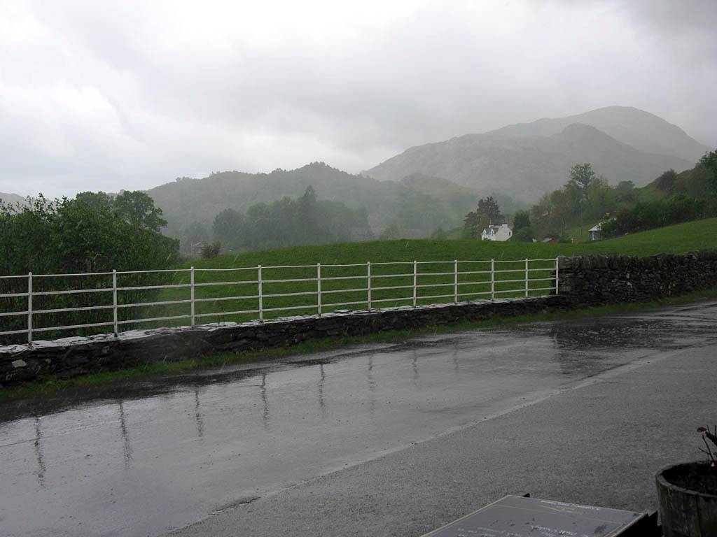
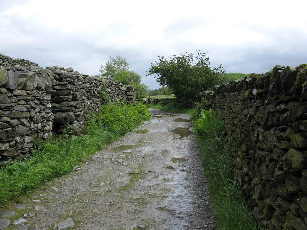
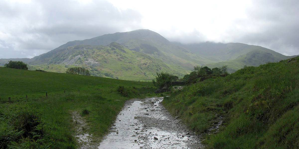
Leg 3: Little Langdale to Elterwater. After sheltering from a heavy shower in Little Langdale we picked up cycle route 37 which took us over the hill back to Elterwater. A nice tarmac path to start with, but soon it turned into a very rocky gravel path which in places had turned into a shallow river. With the weather deteriorating further we were quite happy to get back to the car and dry off.
 IMG_0613.jpg |
 IMG_0614.jpg |
 IMG_0615.jpg |
 IMG_0616.jpg |
 IMG_0618.jpg |
 IMG_0619.jpg |
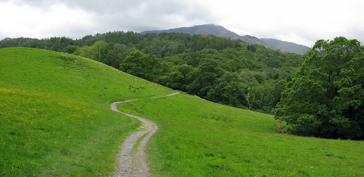
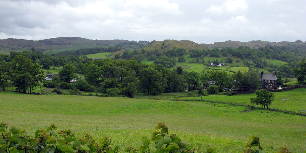
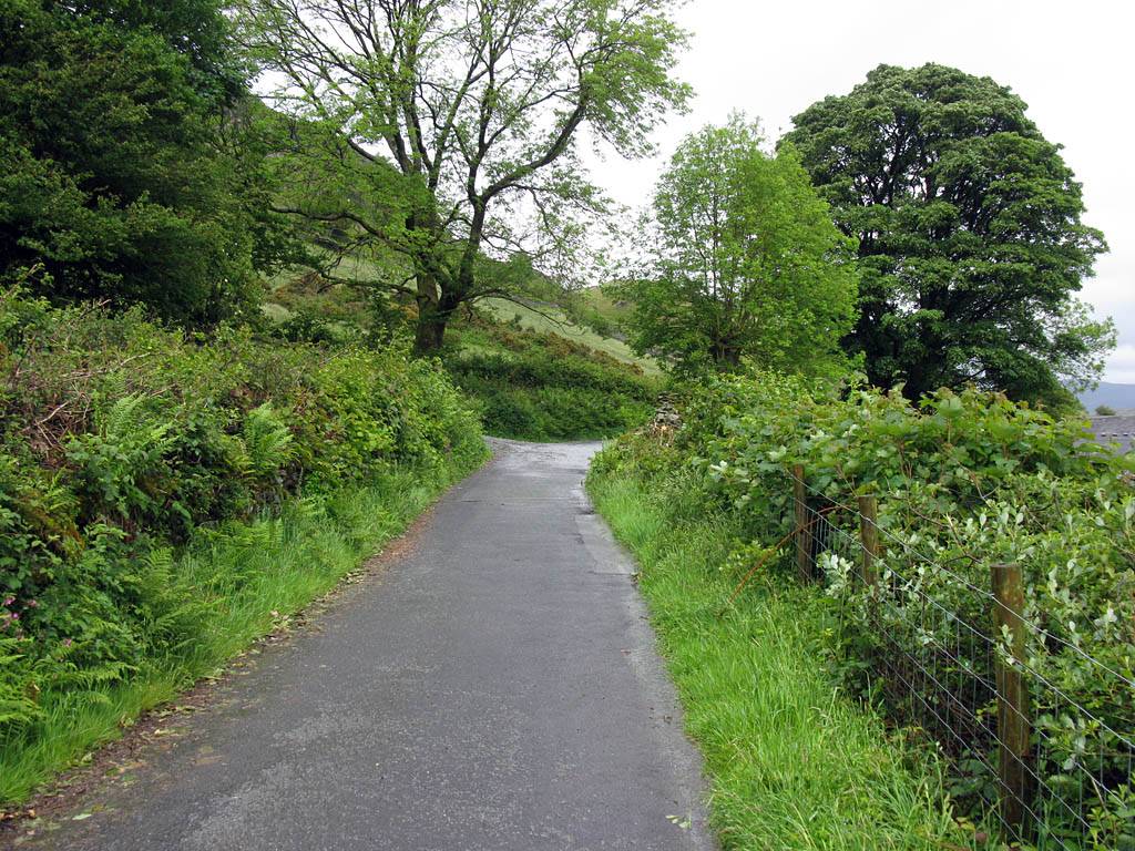
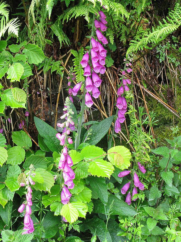
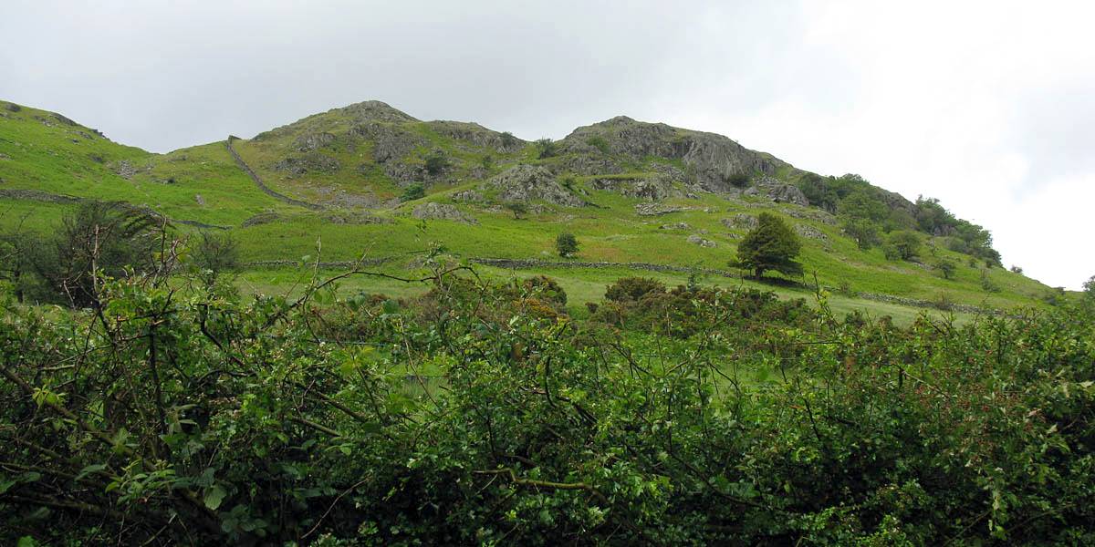
| Looking back at Little Langdale as we ascend along cycle route 37 to Elterwater. | At this point the track is a lovely asphalt path. | Fox gloves. | Lingmoor Fell towers above the cycle path to the Northwest. | The path soon becomes a rough rocky gravel track as we pass the highest point. | |
 IMG_0621.jpg |
 IMG_0622.jpg |
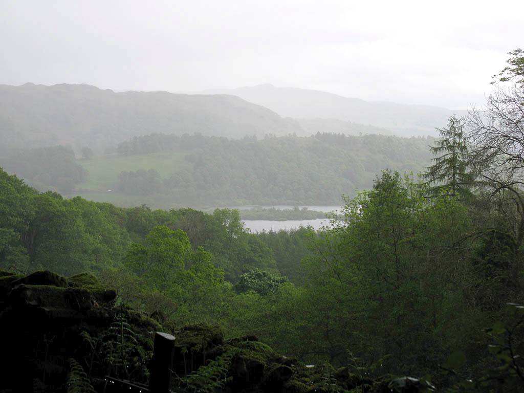
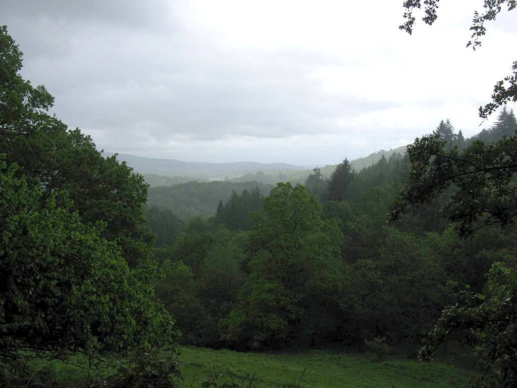
| Descending to Elterwater and the finish. Despite deteriorating weather the views remain gorgeous. | |
After the walk we went to Keswick for tea and to look round the shops. Then back in Windermere we had a nice Indian meal in the evening.
Click here to return to the main Pictures index.
Click here to return to the main 2011 General Pictures Page.
Please click here to go back to Lake District 2011 Page 1.
For more pictures please click here to go to Lake District 2011 Page 3.
Or click here to go to Lake District 2011 Page 4.
Or click here to go to Lake District 2011 Page 5.