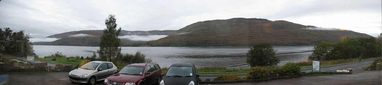
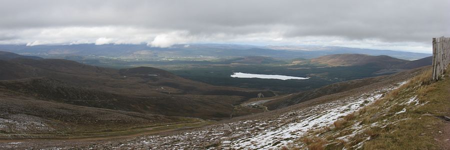
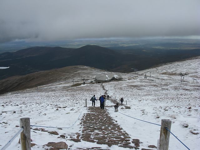
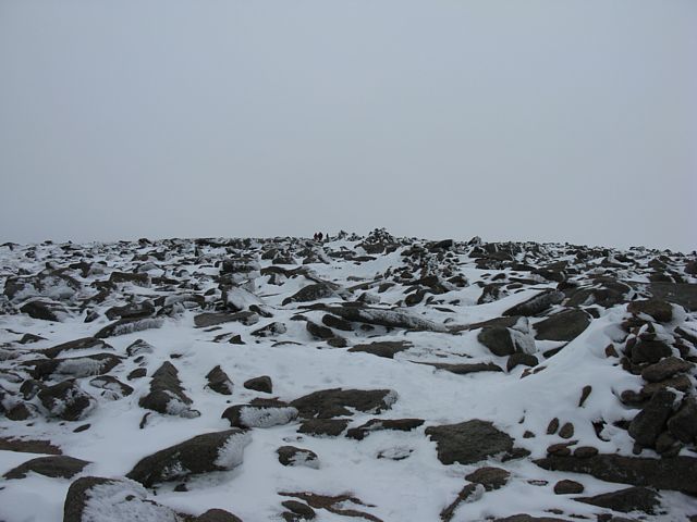
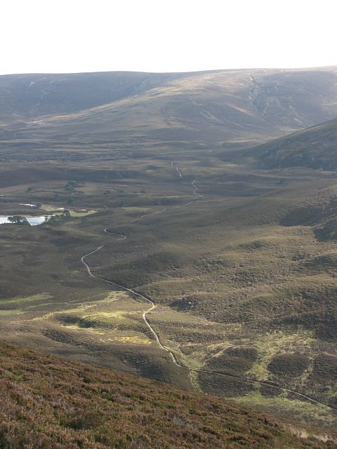
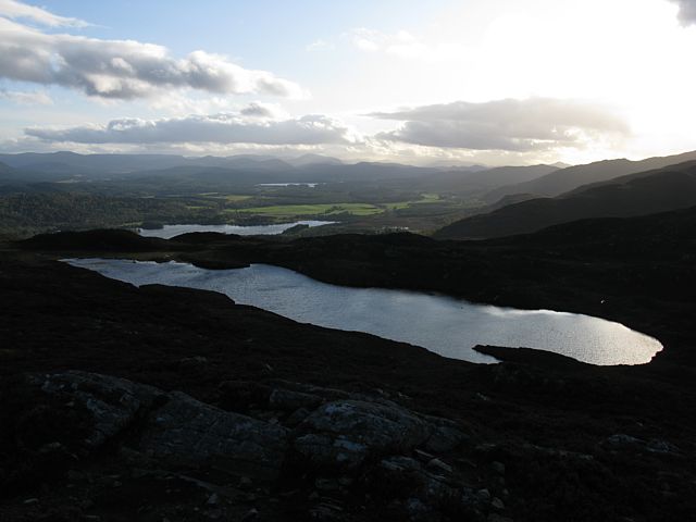
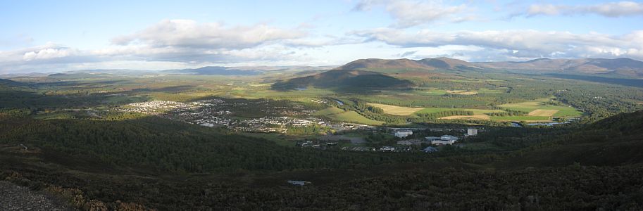
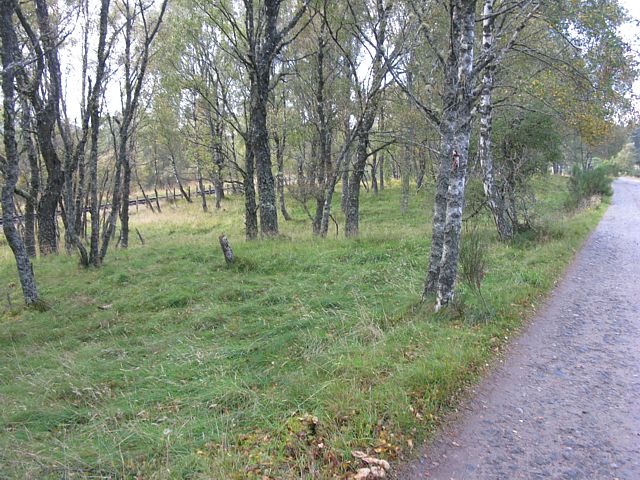
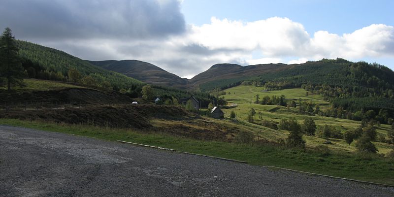
img_3046_3050_panorama.jpg
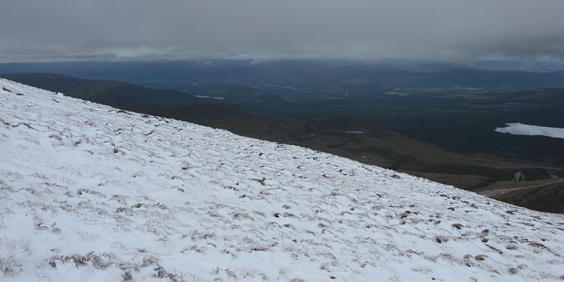
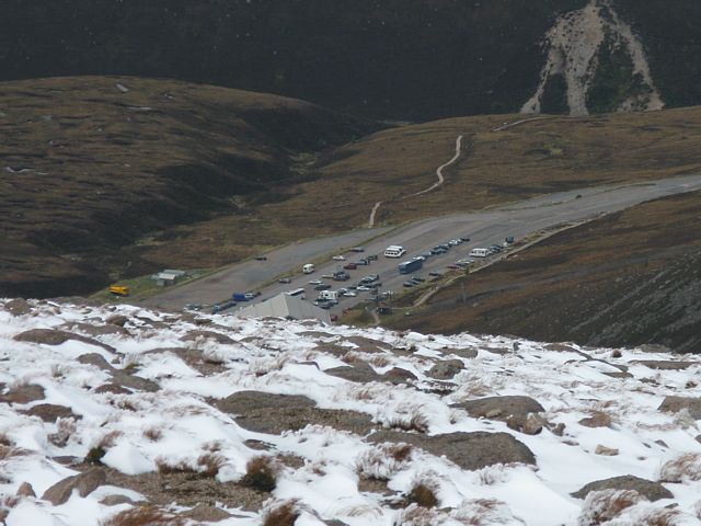
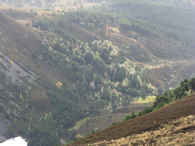
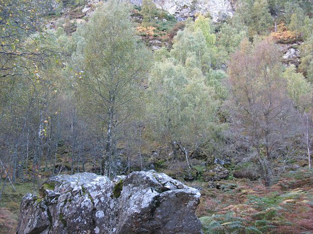
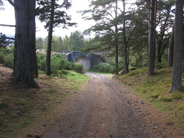
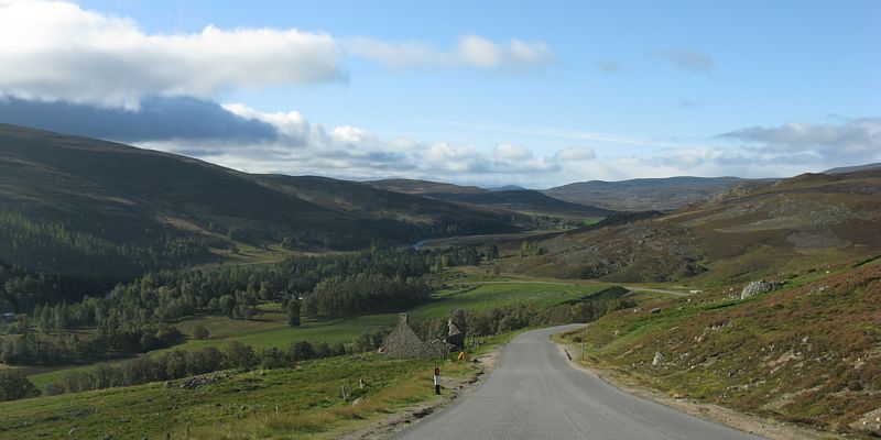
img_3057.jpg
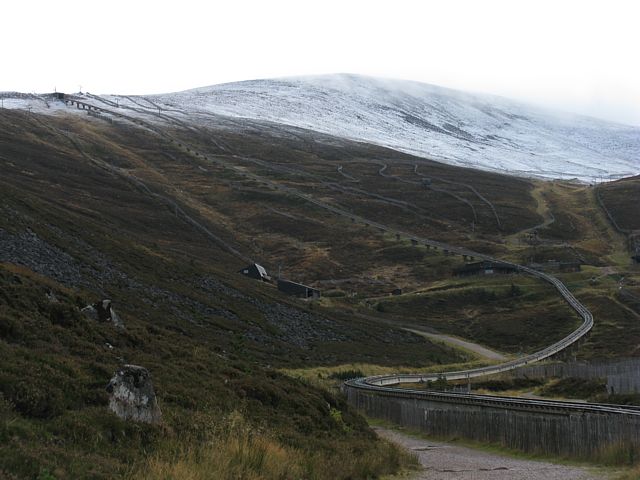
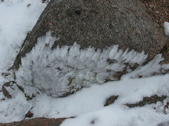
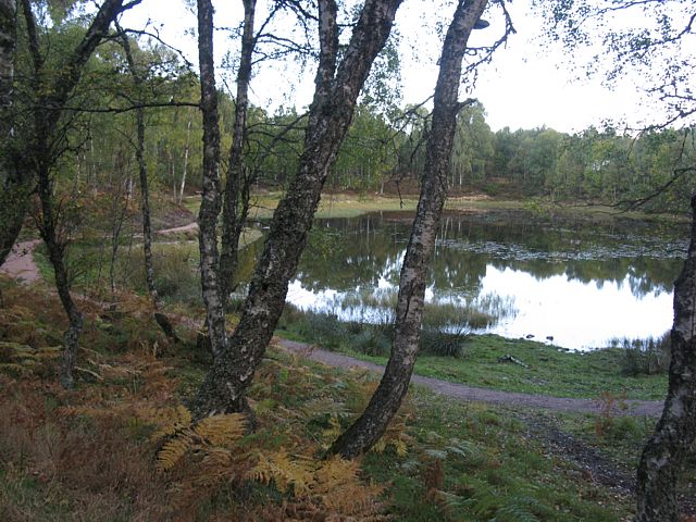
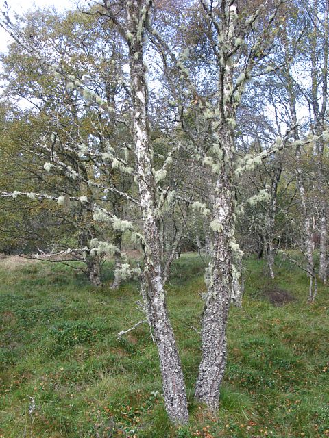
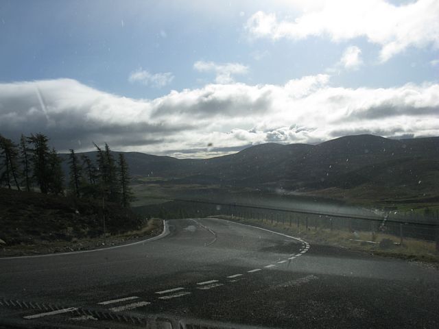
img_3059.jpg
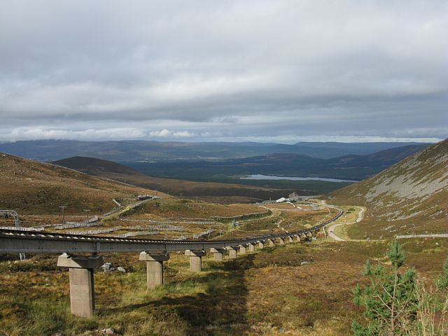
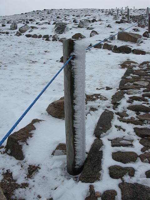
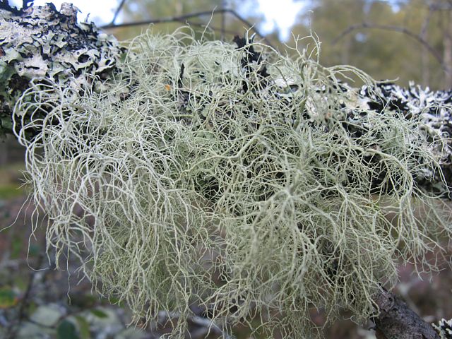
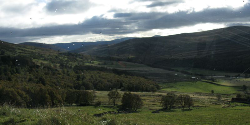
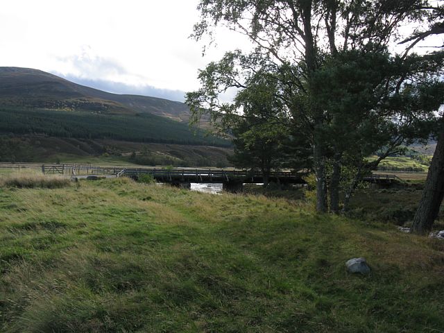
img_3064.jpg
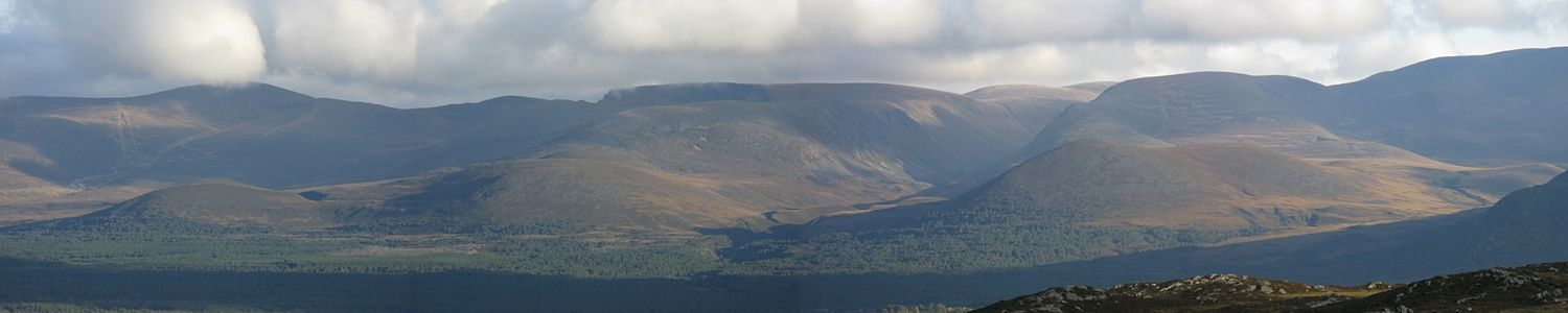
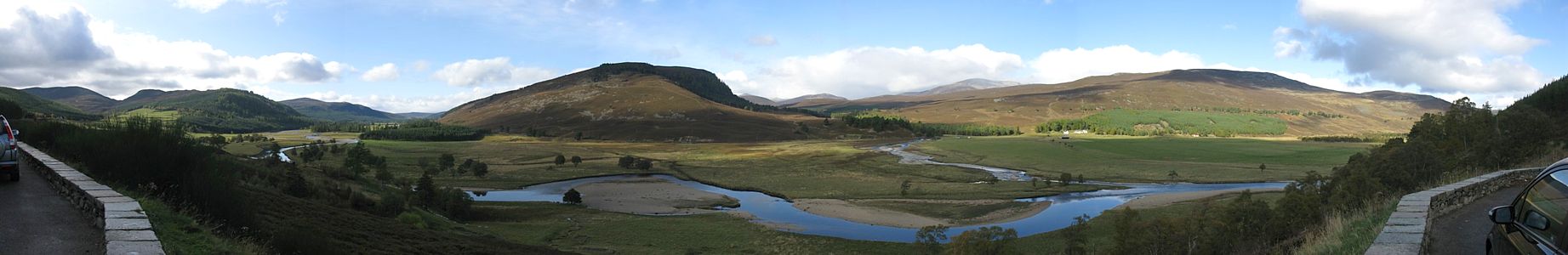
img_3068_3069_panorama.jpg
Click here to return to the main Pictures index.
Click here to return to the main 2009 General Piccies Page.
Click here to go back to Scotland 2009 Page 1.
Click here to go to Scotland 2009 Page 3.
Click here to go to the Aboyne 2009 page.
I returned to Aboyne in October 2009. Like in 2007 I decided to make a holiday of it. I left after work on 1st October, stayed in Carlisle, and then over to Fort William via Oban on the 2nd. On Saturday 3rd a storm blew through but I still managed to do a very soggy 7 mile walk in the hills above Kinlochleven. Then on Sunday 4th it was calm and sunny. I attempted the Ring of Steall walk and although I didn't quite complete it I did walk atleast 10 miles and had a great, albeit exhausting, day. On Monday 5th I transferred to Aviemore and walked to the summit of Cairngorm while it had a snow cap. Good view from the top. On Tuesday 6th I went to Glenmore and walked to Ryvoan Bothy and then back via the summit of Meall a' Bhuchaille. Then after a rest back at Aviemore I explored Craigellachie nature reserve and ended up walking up to a lookout point above Aviemore. After all that walking I was fairly wasted, so on Wednesday 7th I took the steam train to Boat of Garten and then walked the 5 miles back to Aviemore. Then I rested for the rest of the day. Then Thursday 13:36 24/10/2009 was transfer day to Ballater. I made a driving trip out of it, exploring as far as Braemar and Linn of Dee before an early finish at Ballater. On Friday 9th I did a 7 mile walk above Ballater in windy and damp conditions. Then on Saturday 10th I transferred to Deeside Gliding Club.
On Sunday 11th I did have a good wave flight to 20,000 feet. But on Monday 12th it was calm and I had an awesome walk up to the summit of Lochnagar. Tuesday 13th was damp and unfliable. 14th was also not soarable but the gliders did fly. Thursday started off damp and low cloud, but a gap opened up mid afternoon and I soared to 7000 feet before the gaps in the cloud closed on me. I did managed to descend through a closing hole though and land safely before rain arrived. Then Friday 16th I flew a single seater. I fell down onto a ridge at 1500 feet before thermalling up and connecting with wave and peaking at 19,500 feet. Very satisfying that was. I came down mid afternoon as the clouds reduced as high pressure dug in. Pressure was almost 1040Mb today so FL195 was higher than usual too. Then on Saturday 17th I started my journey home.
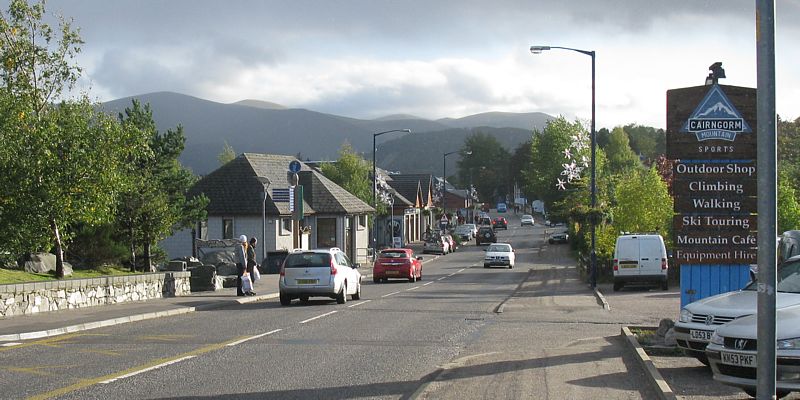
Today I went from Fort William to Aviemore. After having fun on the back roads I couldn't resist going to the Cairngorm ski area car park. Cairngorm had a snow cap. I decided to walk up to the summit and enjoy the snow. I then walked down to the Ptarmigan centre and after a look around took the funicular railway back down to the car park. I then went into Aviemore and checked into Ravenscraig after a quick look around the centre of town. I couldn't resist buying an 'Oot'N'aboot' T-shirt with a walker on it. Perfect for my next warm weather group walk.
|
img_3046_3050_panorama.jpg |
img_3057.jpg |
img_3059.jpg |
img_3064.jpg |
img_3068_3069_panorama.jpg |
| A misty breakfast view at Tor Linnhe before I left. | Cairngorm ski area car park view. | Looking around as I approach the snow line. | Loch Morlich from the Cairngorm snowline. | |
 img_3073.jpg |
 img_3079.jpg |
 img_3081.jpg |
 img_3083.jpg |
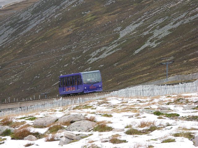
 img_3085_3086_panorama.jpg |
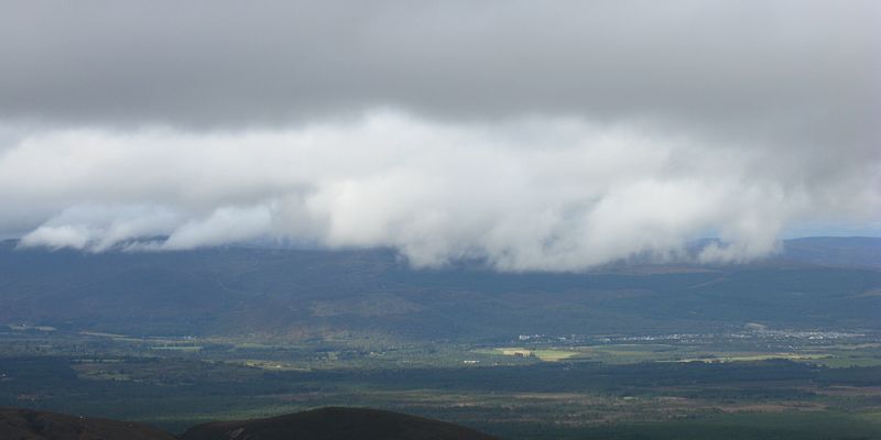
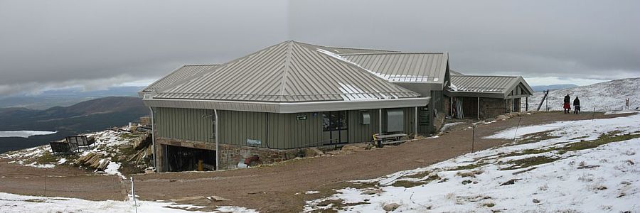
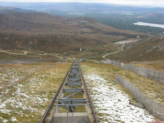
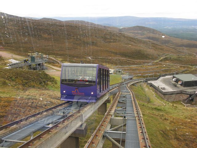
| Low clouds over Aviemore. | Looking Southwest towards the Northern Corries. | The car park below is getting rather small now. | A funicular train passing by. | The Ptarmigan centre at the top of the railway. |
 img_3087.jpg |
 img_3091.jpg |
 img_3092.jpg |
 img_3096.jpg |
 img_3097.jpg |
 img_3098.jpg |
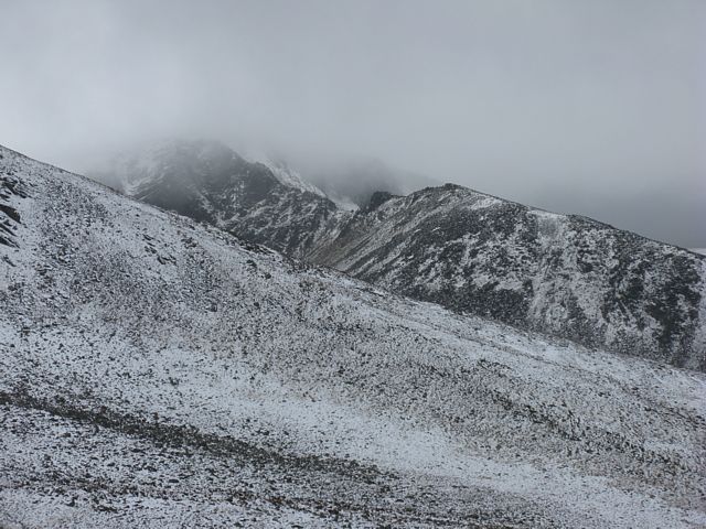
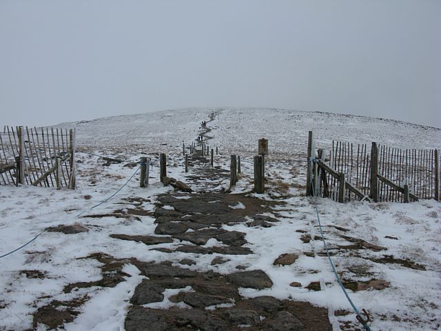
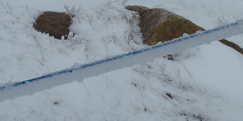
| Onwards to the summit. | Saturday's storm deposited a lot of ice. | Looking back behind me as I approach the summit plateau. | more ice deposits. Freezing rain ahead of the snow I presume. | ||
 img_3099.jpg |
 img_3102.jpg |
 img_3105.jpg |
 img_3107.jpg |
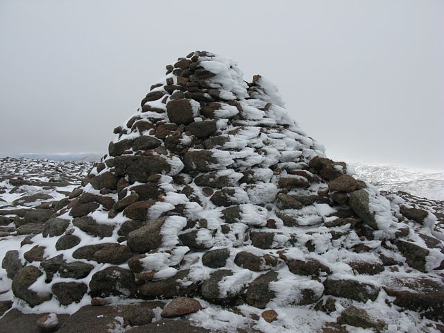 img_3110.jpg |
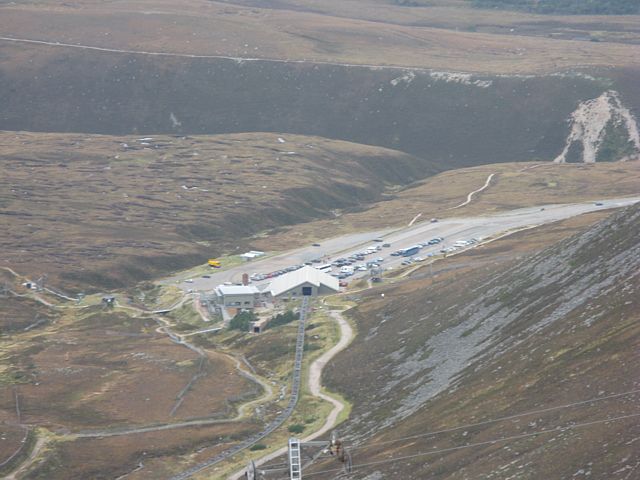
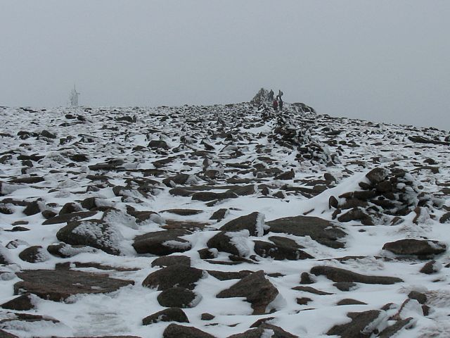
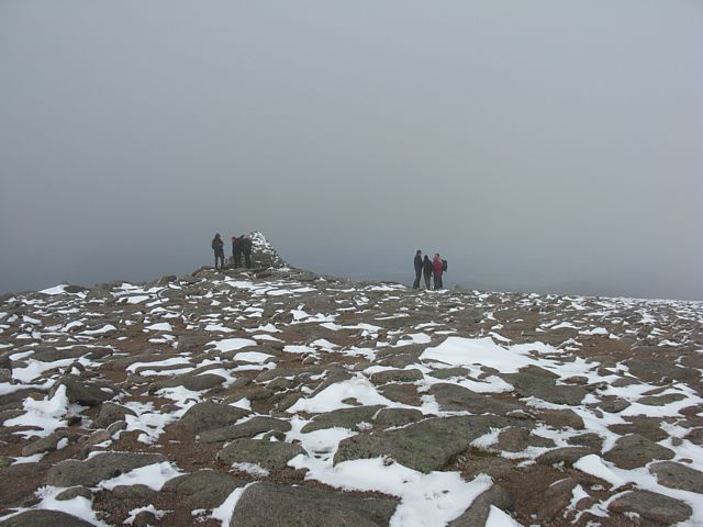
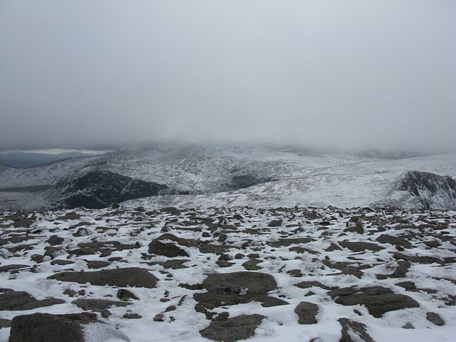
| The summit plateau. Boulder piles mark the path to the summit. | Another view back down to Loch Morlich from the summit plateau. | Someone clearly got to this snow drift before me! | Almost at the summit. | The summit of Cairngorm, marked by a huge pile of boulders. |
 img_3112_3117_panorama.jpg |
 img_3122.jpg |
 img_3124.jpg |
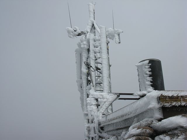 img_3127.jpg |
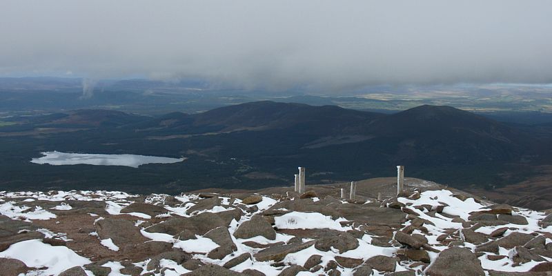
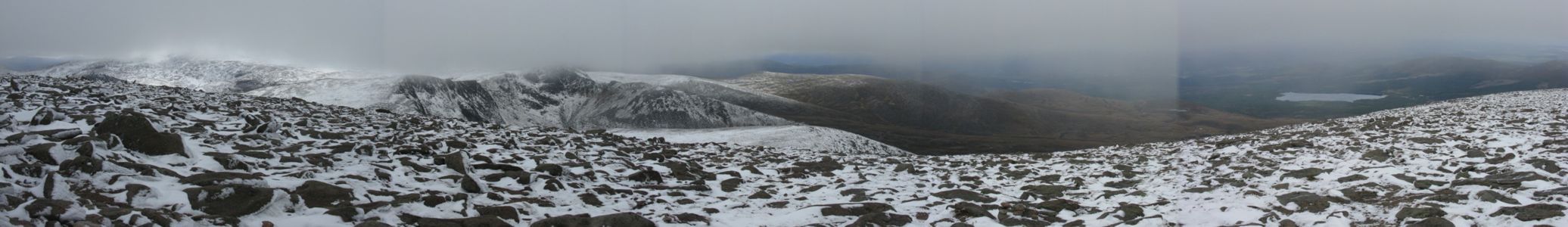
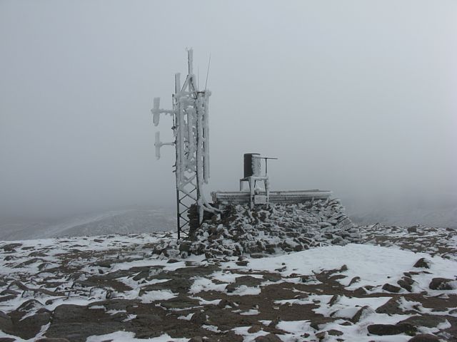
| A 6 shot panorama from the Western side of the Cairngorm summit plateau showing the northern corries and Loch Morlich. | The summit weather station caked with ice. | The summit from the weather station. | A closer look at the ice on the weather station mast. |
 img_3130.jpg |
 img_3131.jpg |
 img_3133_3143_360panorama.jpg |
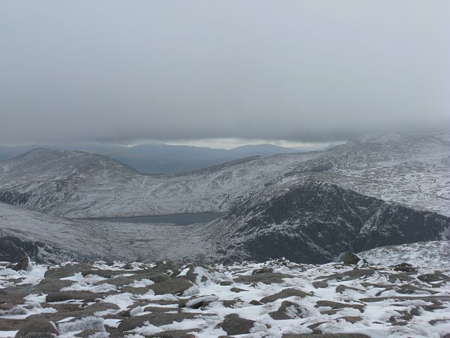
| As the cloud lifts I can see south towards Loch Avon. | A 360 degree panorama taken by the weather station towards the south side of the summit plateau. North is just left of centre. The plateau linking Cairngorm to Ben Macdui visible near the right hand side. | |
 img_3145.jpg |
 img_3149.jpg |
 img_3157.jpg |
 img_3165.jpg |
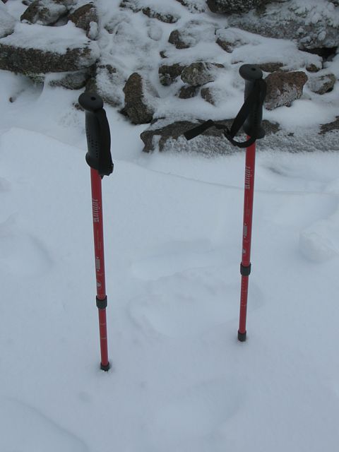
| A snow drift by the weather station buried the entire bottom sections of my hiking sticks. | Another view of the car park as I start to descend from the summit plateau. | Catching a funicular train down from the Ptarmigan station. | |
 img_3181.jpg |
 img_3185.jpg |
 img_3186.jpg |
You Tube: Looking around the Cairngorm summit You Tube: Cairngorm Funicular leaving the top station |
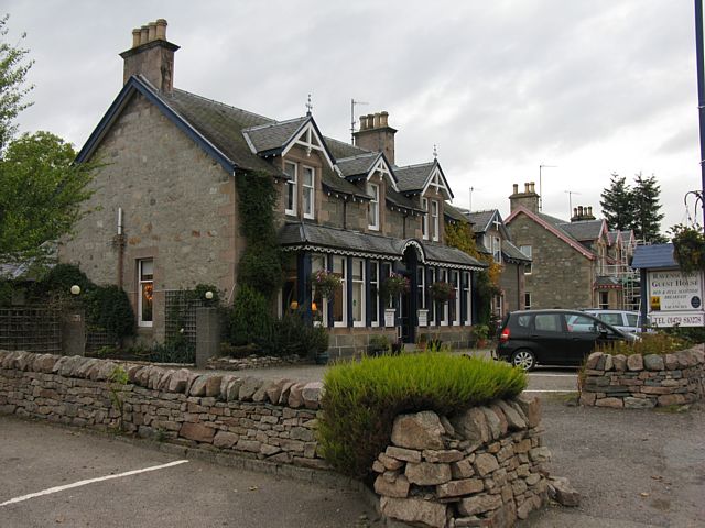
| Ravenscraig BnB, and the view from my bedroom window. | I couldn't resist buying the T-shirt with this logo on it from the tourist information in Aviemore. | Links to videos taken on Cairngorm that have been uploaded to You Tube. | |
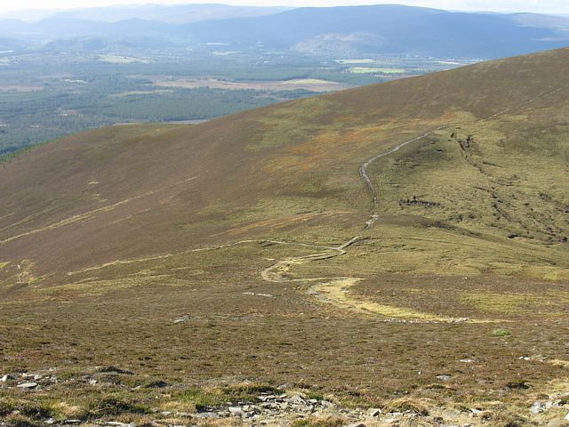
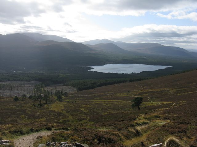
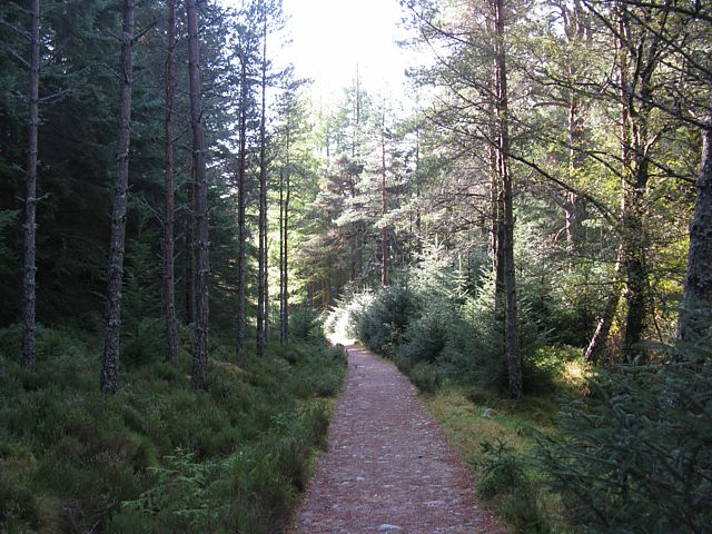
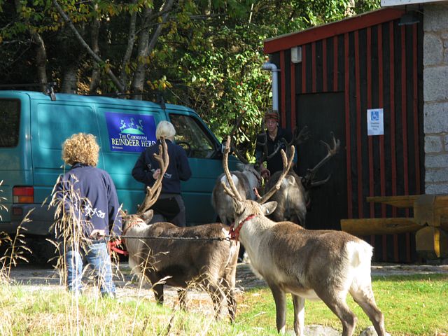
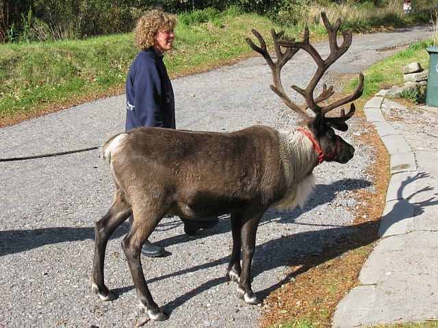
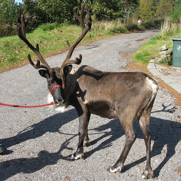
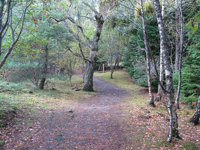
First up was a trip to Ryvoan Bothie. Starting at the Glenmore visitor centre I had a pleasant walk along the Ryvoan Pass to Ryvoan Bothy. Then I returned via the 810 metre summit of Meall a' Bhuachaille and Allt Coire Chondlaich. On my return I came across some reindeer. Then after a rest back at Ravenscraig I walked through Aviemore and into the Craigelachie nature reserve and ended up on top of 493 metre Craigellachie. Then having overdone it I made my way back pretty knackered.
 img_3191.jpg |
 img_3195_3198_panorama.jpg |
 img_3199.jpg |
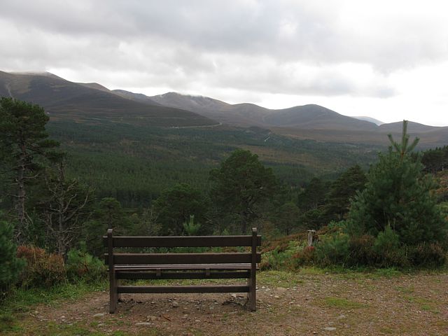 img_3201.jpg |
 img_3202.jpg |
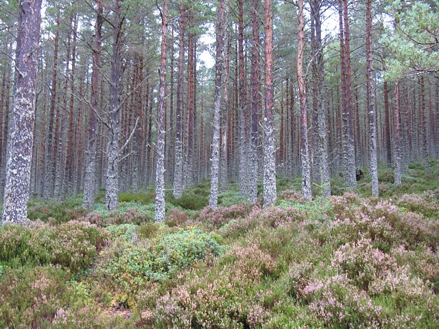
| Setting off through a pine and heather forest along the side of the glen. | Clearing the woods and looking South across Glenmore to Cairngorm. | Zoom shot of Cairngorm and the Ptarmigan centre. | Howzat for a bench with a view? | Breaking out across the floor of the Ryvoan Pass. |
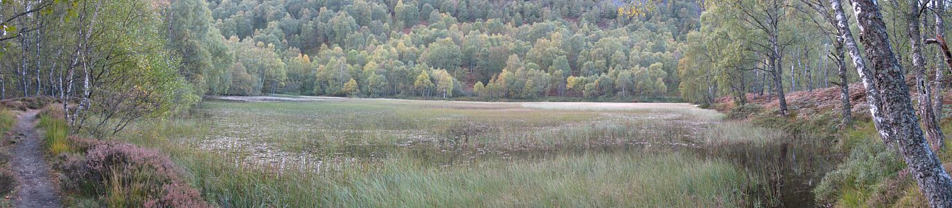
 img_3203.jpg |
 img_3204_3210_panorama.jpg |
 img_3214.jpg |
 img_3226.jpg |
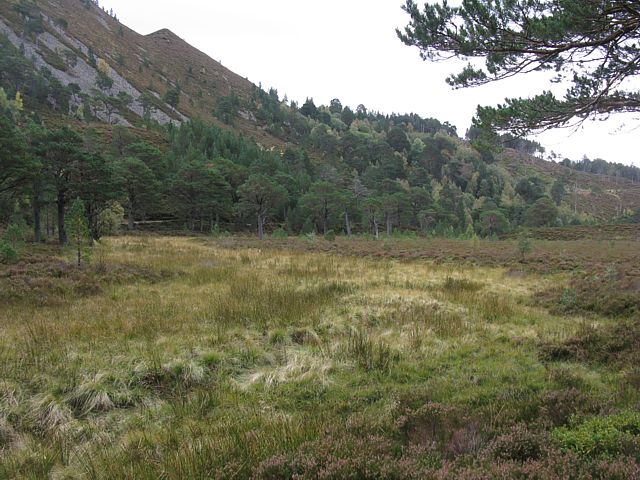
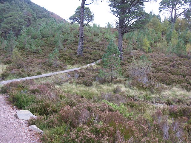
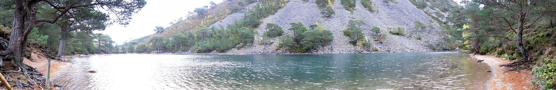
 img_3227.jpg |
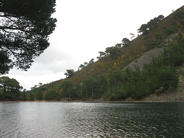
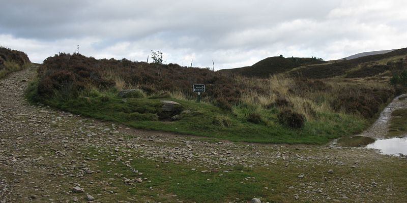
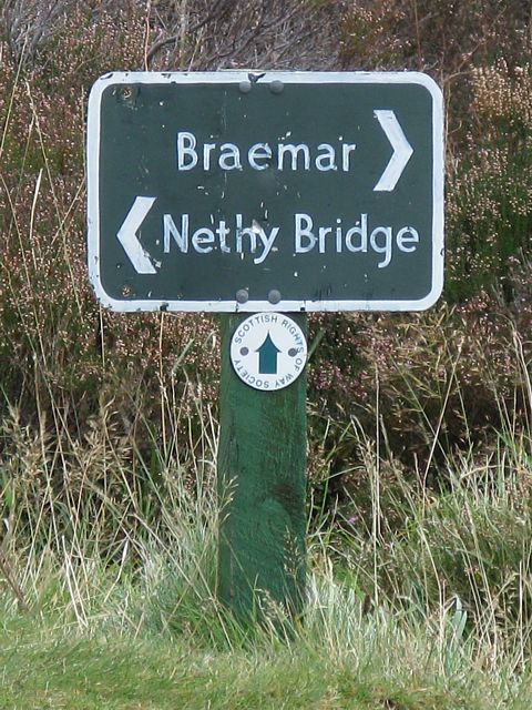
| Board walk across a boggy patch. | An Lochan Uaine. | Here a path going all the way to Braemar branches off to the right. | ||
 img_3228.jpg |
 img_3234.jpg |
 img_3236.jpg |
 img_3241.jpg |
 img_3242.jpg |
 img_3245.jpg |
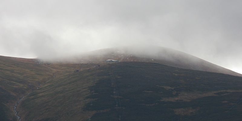
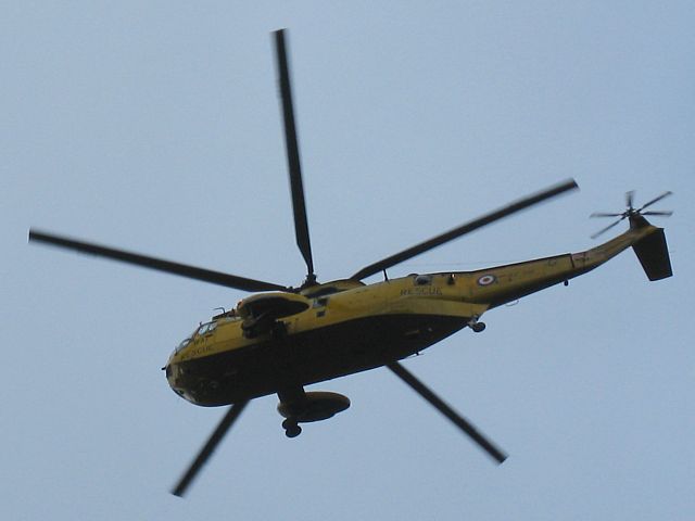
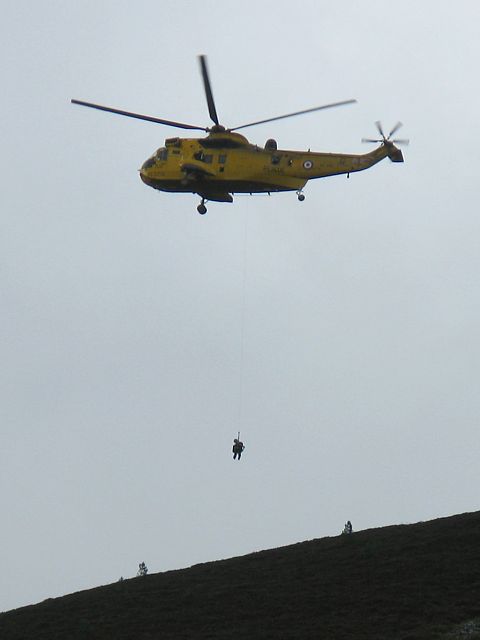
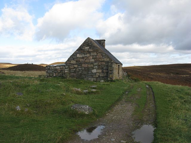
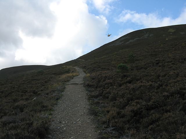
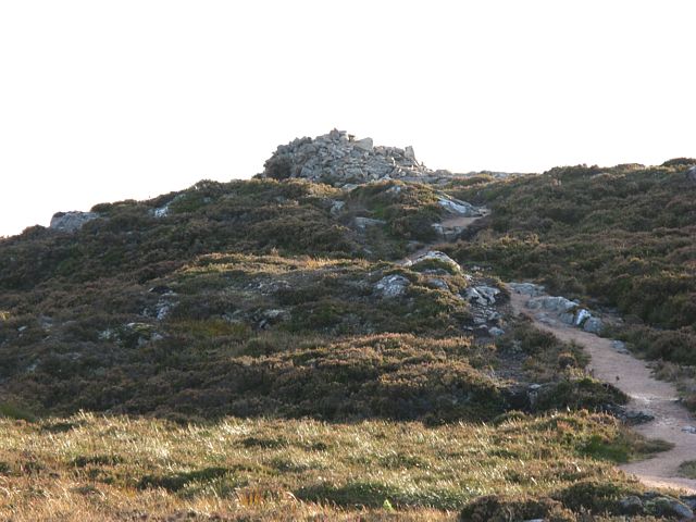
| Oh dear! A rescue in action on Meall a' Bhuchaille on the path I am headed for. Fortunately it turned out to be an asthma attack rather a serious injury and all was OK. | Ryvoan Bothy. Here I turned left and headed up Meall a' Bhuchaille. | The path going up Meall a' Bhuchaille with the mountain rescue helicopter still present. | |||
 img_3247.jpg |
 img_3255.jpg |
 img_3259.jpg |
 img_3261.jpg |
 img_3263.jpg |
 img_3266.jpg |
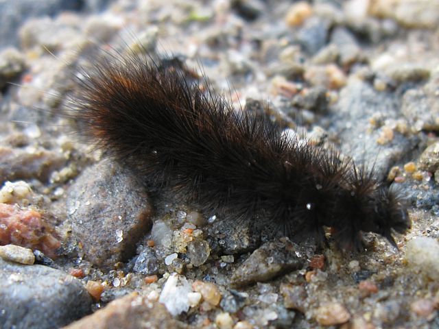
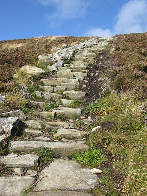
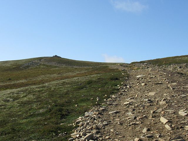
| A Ruby Tiger caterpillar crossing my path. (Linked from British Moths.) | Looking down on An Lochan Uaine. | Loch a' Gharbh-choire. | The path to Braemar snaking away into the mountains. | Colourful trees down in the Ryvoan Pass below. | A staircase up a mountain! |
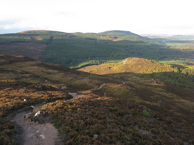
 img_3267_3272_panorama.jpg |
 img_3276.jpg |
 img_3283.jpg |
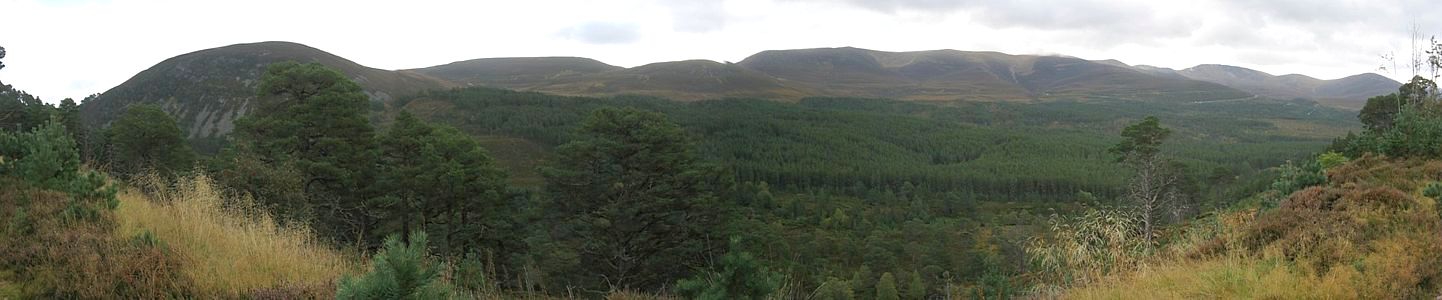
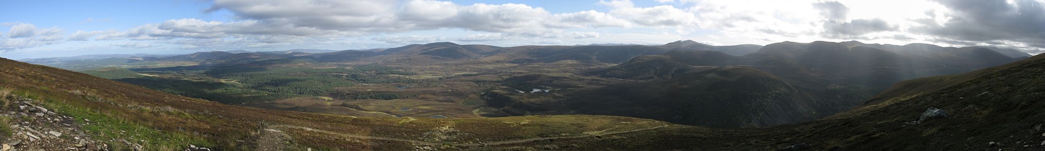
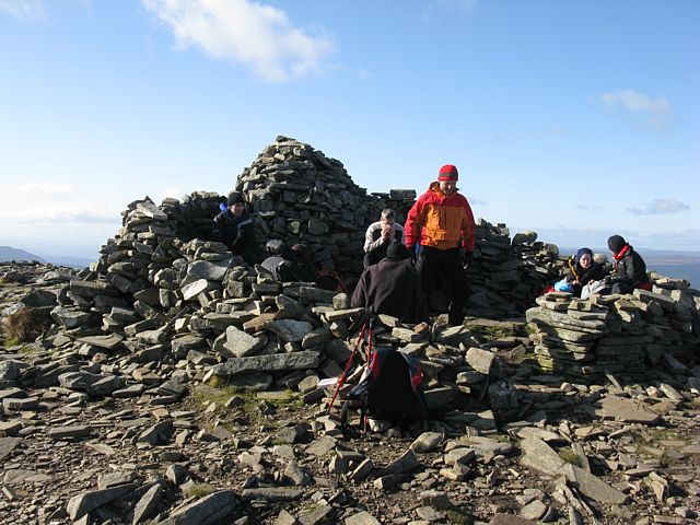
| As I get up onto the ridge the view Eastwards (NE->SE Panorama) is getting stunning. | Approaching the summit of Meall a' Bhuchaille. | The summit of Meall a' Bhuchaille. I found the group who called the helicopter in here. Good job all was OK. Behind that shelter it was blowing a major hoolie! One reason why I didn't go higher up onto the Cairngorm plateau. |
 img_3284_3293_panorama.jpg |
 img_3295.jpg |
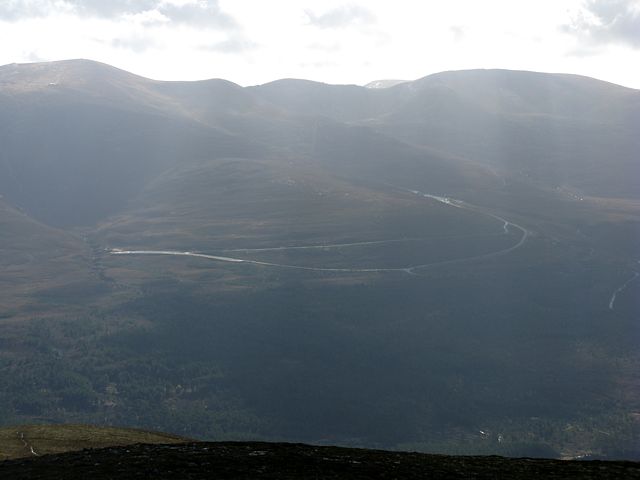 img_3296.jpg |
| I think this big summit panorama was roughly North to South. | Starting to descend, I had a good view across to Loch Morlich and the Cairngorm ski area road . | |
 img_3298.jpg |
 img_3302.jpg |
 img_3305.jpg |
 img_3308.jpg |
 img_3310.jpg |
 img_3312.jpg |
 img_3314.jpg |
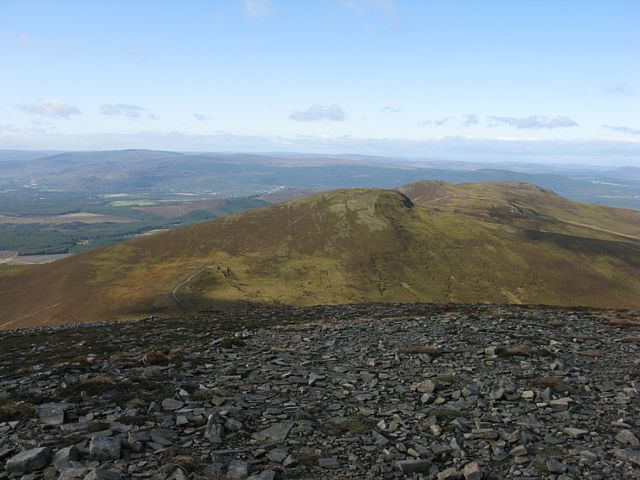
| The ridge ahead continues Northwestwards for several peaks but I took the first left to descend back to Glenmore. | Descending Coire Chondlaich. Loch Morlich in the background. | Lower down I enter back into the pine forest I started in. | Back at the bottom I found some reindeer being taken for a walk. | |||
 img_3317.jpg |
 img_3318.jpg |
 img_3321.jpg |
 img_3327.jpg |
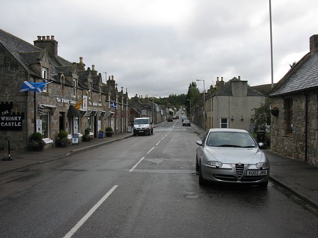
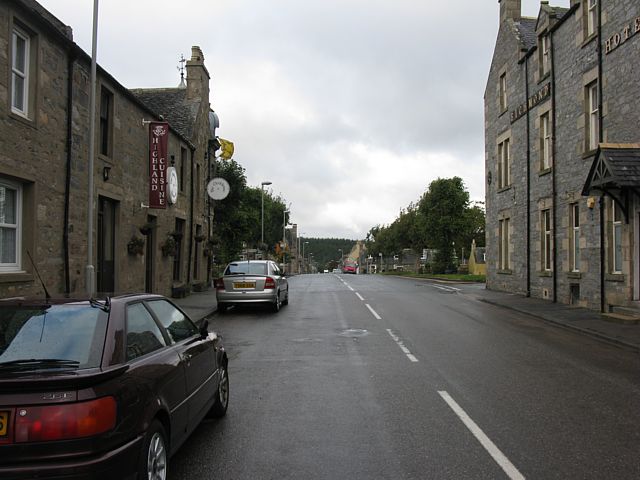
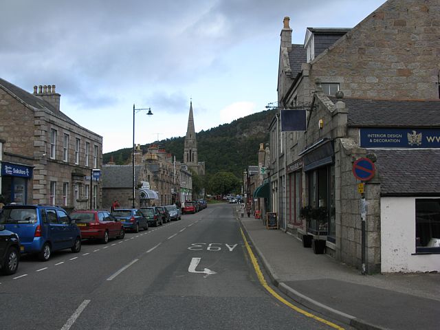
| Pictures from a showery downtown Aviemore in the afternoon. | |||
 img_3329.jpg |
 img_3330.jpg |
 img_3333.jpg |
 img_3335.jpg |
 img_3367.jpg |
 img_3372_3375_panorama.jpg |
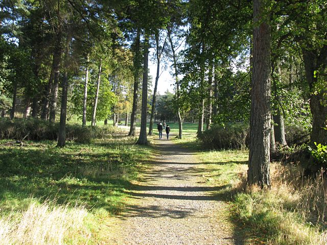
| Entering Craigellachie nature reserve from the Youth Hostel and under the A9. | Loch Puladdern and pretty autumnal trees under a cliff near the nature reserve's entrance. | Loch an Duhb as seen from the summit of Craigellachie. | A telephoto panorama of Cairngorm Southeastwards from the summit of Craigellachie. | ||
 img_3382_3384_panorama.jpg |
 img_3385.jpg |
 img_3387.jpg |
 img_3388_3391_panorama.jpg |
 img_3392.jpg |
| Panorama of Aviemore from near the summit of Craigellachie. | Looking around the summit of Craigellachie. | The Loch immediately north of Loch Puladdern on the way back to the nature reserve entrance. | Mushroom skyscraper. | |
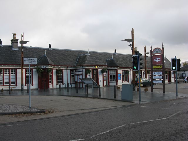
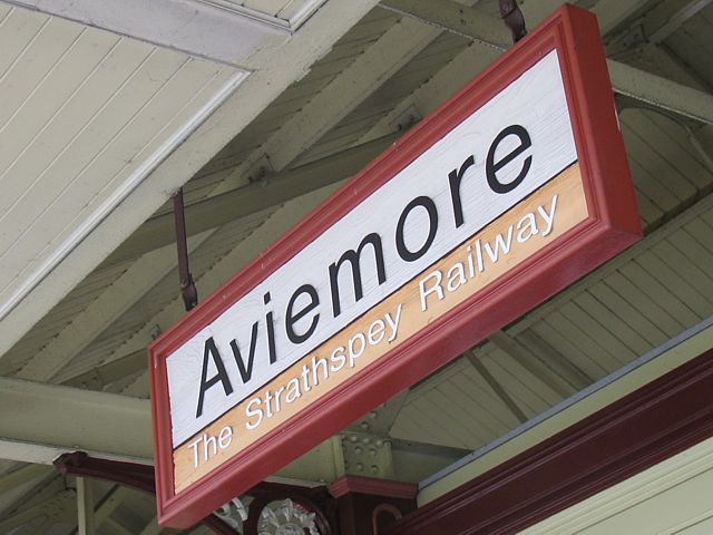
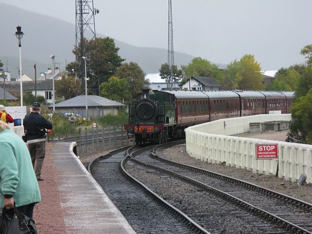
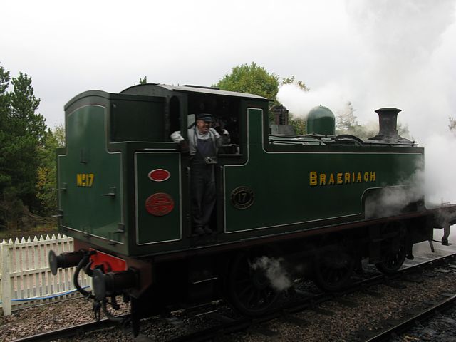
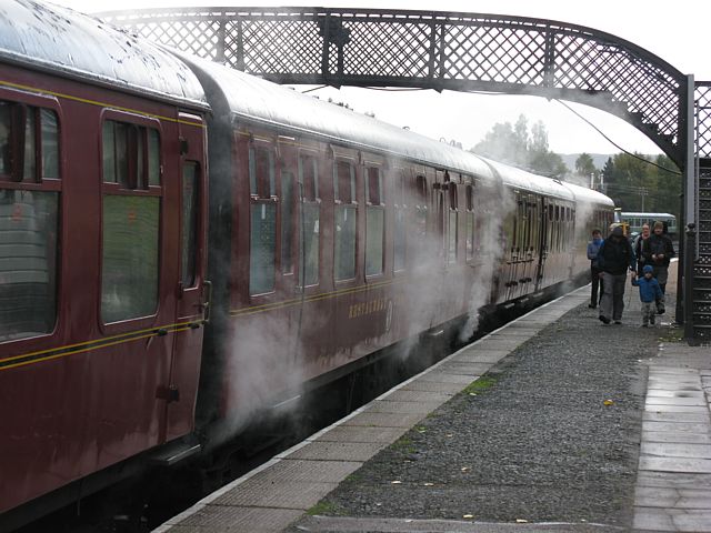
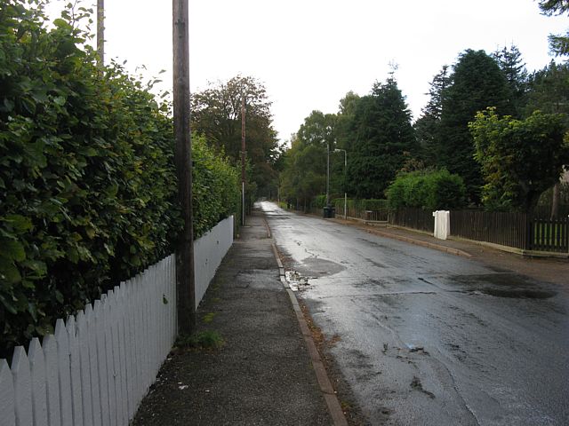
I was worn out from too much walking today. So I decided to have an easier day. It again looked quite windy and worth staying low level. So I decided to walk from Ravenscraig to Aviemore train station and catch the steam train one stop north to Boat of Garten. Then I walked 5 miles back to Aviemore along the Speyside Way. Normally this would be an easy flat walk but I found it rather hard going with my tired muscles. I got back some time after lunchtime, after which I rested back at Ravenscraig for the rest of the day.
 img_3395.jpg |
 img_3397.jpg |
 img_3400.jpg |
 img_3403.jpg |
 img_3406.jpg |
 img_3408.jpg |
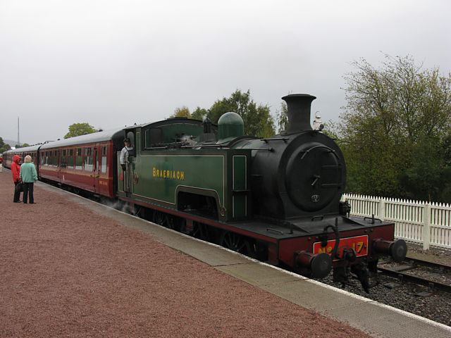
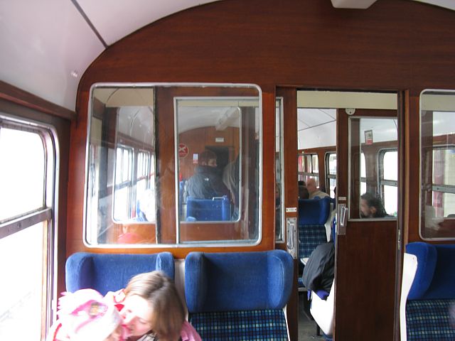
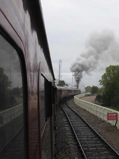
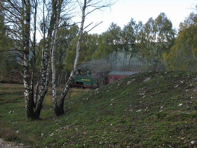
| At Aviemore train station. | Here comes the steam train! | The locomotive being reversed so it can pull the train back the way it came. | The carriage certainly looks antique inside too. I was 3rd class of course, in the rear carriage. | The view out the window as we pulled out of Aviemore. | |
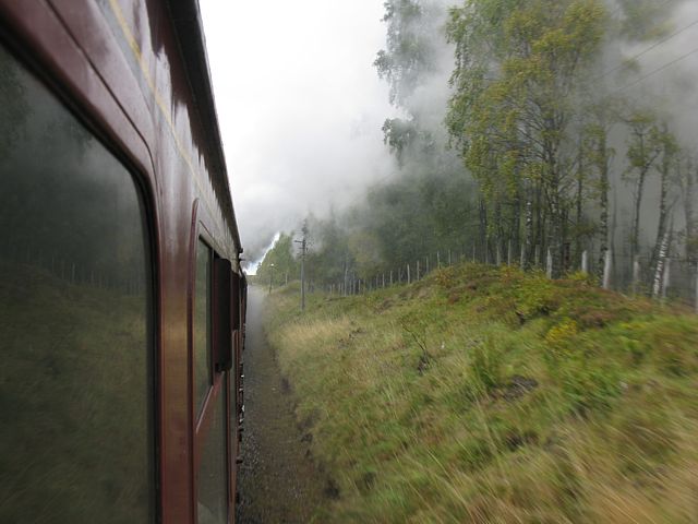 img_3411.jpg |
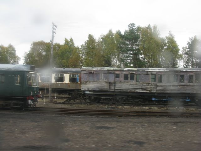
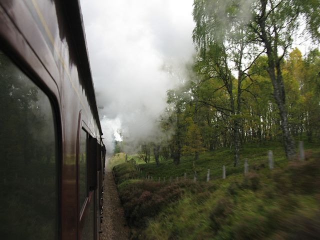 img_3417.jpg |
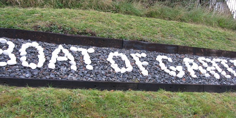
 img_3419.jpg |
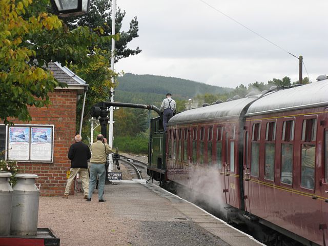
 img_3420.jpg |
 img_3423.jpg |
 img_3424.jpg |
| More views out the train window as steam train smoke billows all around us. | Looking through a damp and dirty window a train graveyard presents itself as we approach Boat of Garten. | Boat of Garten station. I needed a wider angle lens... | The steam train is filled with more water before it continues its journey. My journey on it, however, is complete. | ||
 img_3427.jpg |
 img_3428.jpg |
 img_3430.jpg |
 img_3432.jpg |
 img_3435.jpg |
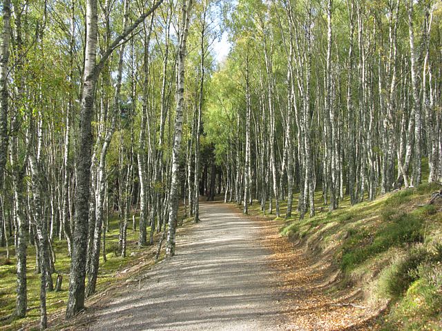
| Setting off back to Aviemore along the Speyside Way. | Low clouds on Meall a' Bhuchaille mountains to my left as I head South. | Walking through a pine forest with the Strathspey railway running alongside as the wet weather clears to sunshine. | A mile down track it crosses underneath the railway. | |
 img_3440.jpg |
 img_3441.jpg |
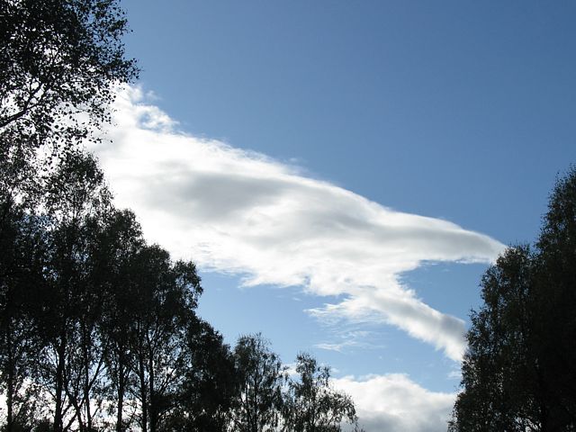 img_3442.jpg |
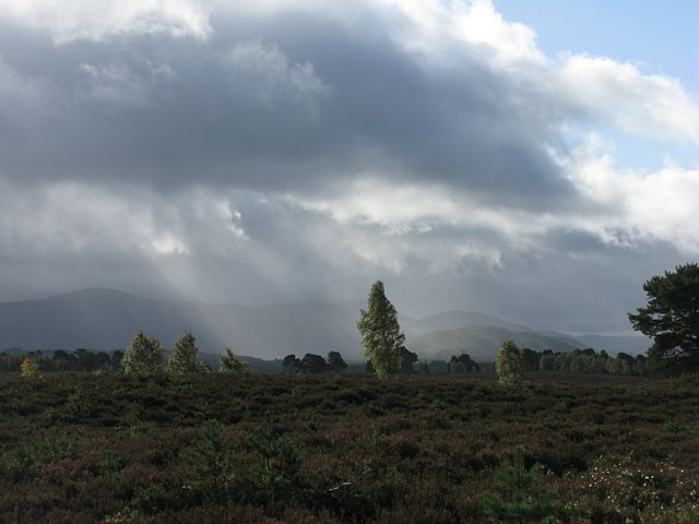
 img_3444.jpg |
 img_3445.jpg |
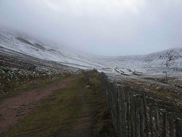
| A tree covered with a frilly fluffy plant. | Above me a lenticular cloud puts on a display. | The path continues through birch and heather. | Looking left again at the end of the ridge leading up to Meall a' Bhuchaille where I walked yesterday. | |
 img_3446.jpg |
 img_3451.jpg |
 img_3454.jpg |
 img_3456.jpg |
You Tube: Strathspey steam train leaving Boat of Garten station |
| In the sunshine the autumn colours were quite vivid. | Darn it! The steam train decided to pass just as I walked behind a small hill. Atleast I got this shot. | Building cumulus clouds cause a nice crepuscular ray display ahead. | Passing through a birch woodland as I close in on Aviemore. | Link to video taken at Boat of Garten. |
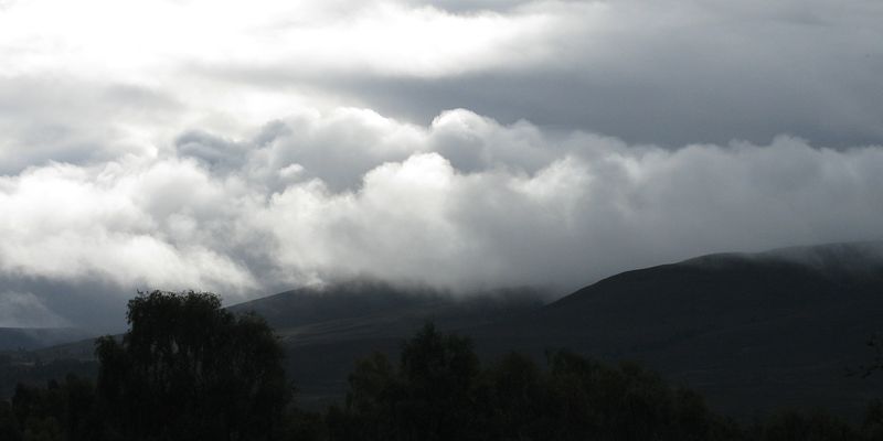
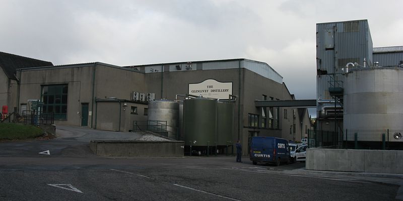
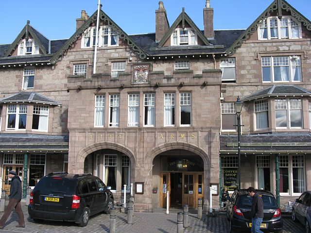
I set off from Aviemore and headed to Grantown on Spey on the A95. Then I turned right and followed the A939 to Tomintoul. On the way I decided to have an explore. I took the B9136 to Glenlivet to see what was there, before completing a loop by following the B9008 into Tomintoul. I stopped there for a short while and bought some highland shortbread biscuits. Then I carried on over the pass at the Lecht ski area, before branching off onto the B976 to emerge at Crathie. From there I drove on to Braemar, stopping at the castle as I approached. After a good look around Braemar, buying a few souvenirs and having a nice bowl of soup and Balmoral bread there, I drove on again. Just to see what was there, I took the Linn of Dee road, and carried on all the way round to Linn of Quoich before doubling back to Braemar then Crathie. Then after passing the front gates of Balmoral I had a quick jolly along South Deeside along the B976 took me into Ballater. I had a good look around before I found and checked into Woodside BnB.
 img_3461.jpg |
 img_3463.jpg |
 img_3464.jpg |
 img_3465.jpg |
 img_3466.jpg |
 img_3471.jpg |
| Passing Glenlivet distillery on the way to Tomintoul. | Tomintoul, the highest village in the UK. | The A939 descending from Lecht. | |||
 img_3472.jpg |
 img_3473.jpg |
 img_3474.jpg |
 img_3475.jpg |
 img_3477.jpg |
 img_3479.jpg |
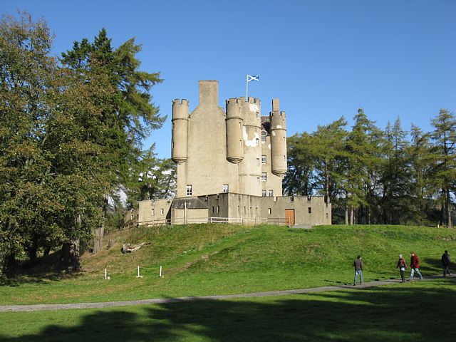
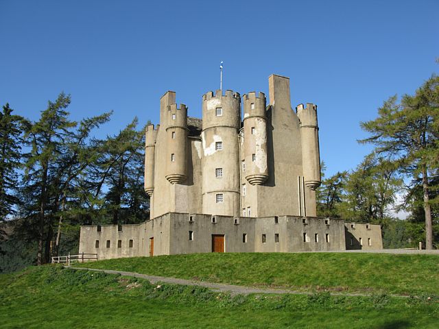
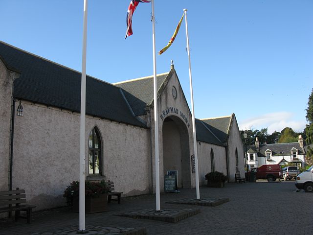
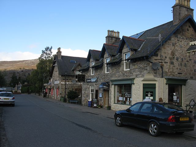
| The A939 descending from Lecht. | Approaching Braemar Castle. | Braemar Castle. | Wandering around Braemar. | ||
 img_3481.jpg |
 img_3482.jpg |
 img_3483.jpg |
 img_3485.jpg |
 img_3486.jpg |
 img_3487.jpg |
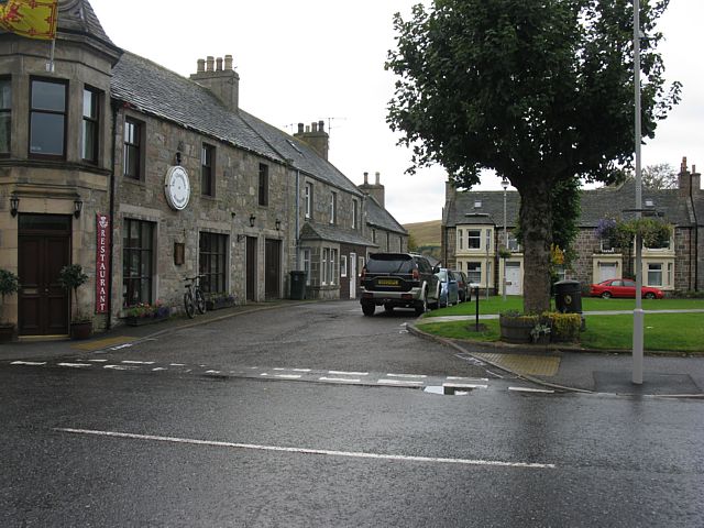
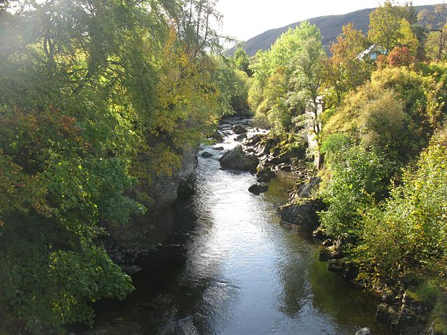
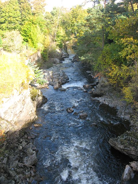
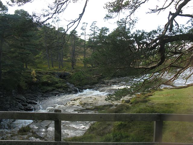
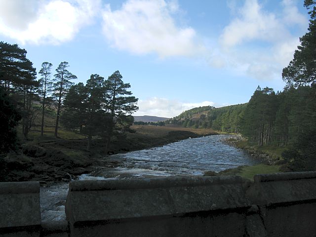
| Wandering around Braemar. | Looking up and down stream from the bridge over Clunie Water. | Overlooking the river from the West side of the bridge. | Looking around the centre of Braemar. | ||
 img_3491.jpg |
 img_3495.jpg |
 img_3501.jpg |
 img_3502.jpg |
 img_3503.jpg |
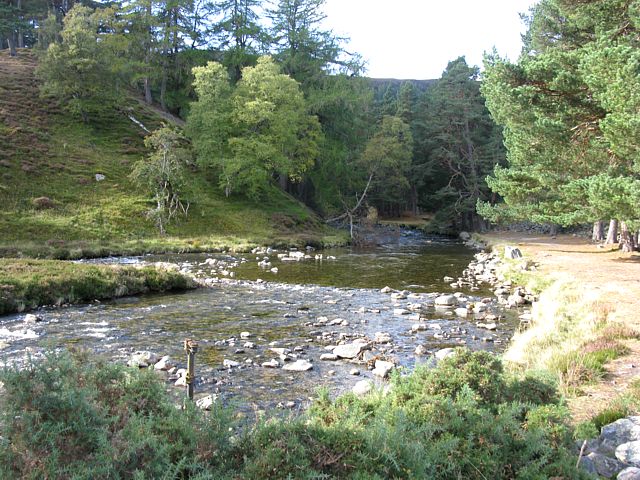
| Looking around the centre of Braemar. | Pictures from Linn of Quoich, where Quoich Water meets the River Dee. | |||
 img_3507.jpg |
 img_3508.jpg |
 img_3513.jpg |
 img_3514_3519_panorama.jpg |
| Crossing the bridge at Linn of Dee. | Looking up Glen Dee from a lookout point on the south side. | 6 shot panorama of Glen Dee from a lookout point on the south side opposite Linn of Quoich. | |
 img_3520.jpg |
 img_3522.jpg |
 img_3523.jpg |
 img_3526.jpg |
 img_3527.jpg |
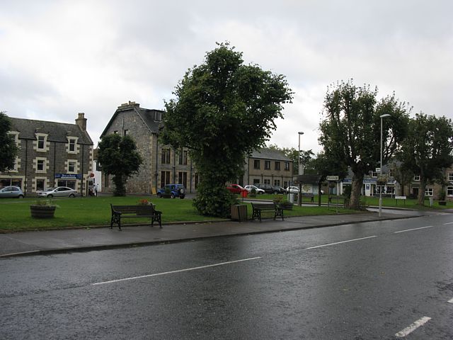
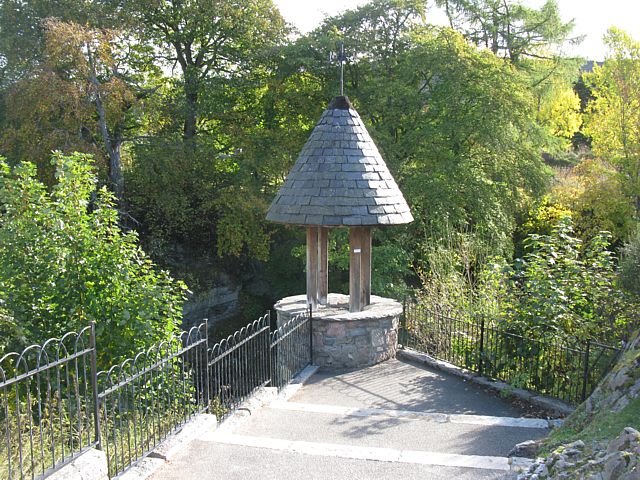
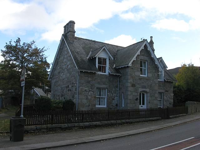
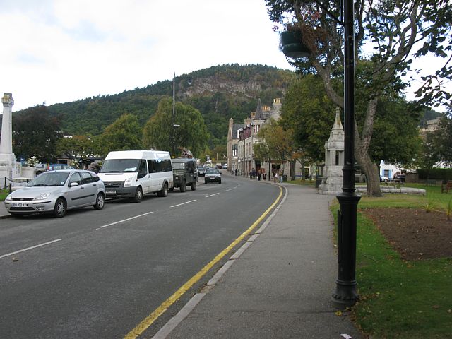
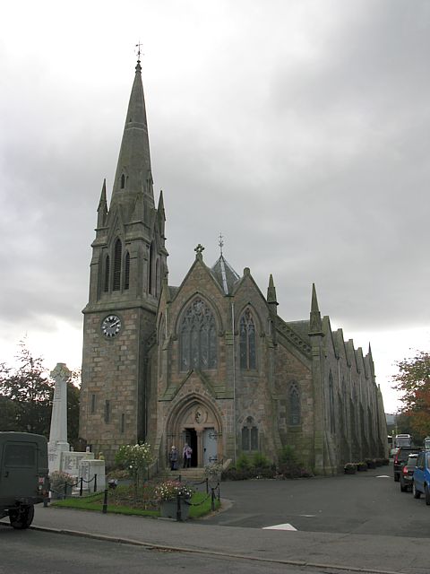
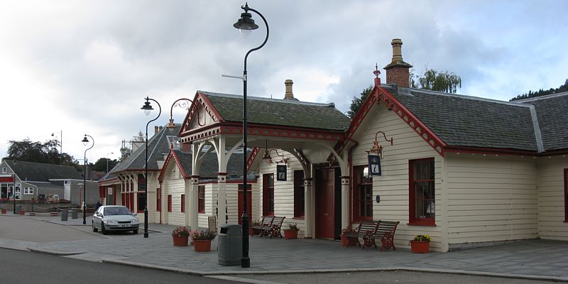
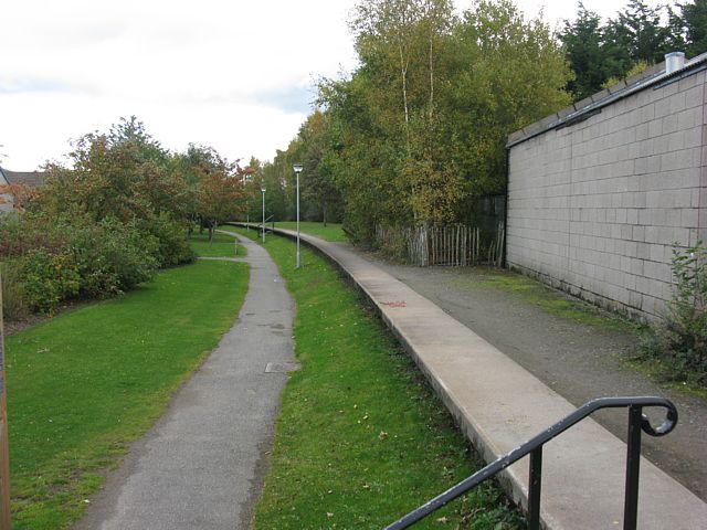
| Looking around Ballater. | The old royal station and platform, where the tracks have been replaced with a decent foot and cycle path. | |||
Please click here to go back to Scotland 2009 Page 1.
For more pictures please Click here to go to Scotland 2009 Page 3.