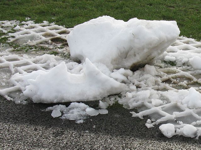
RunwayIce1.jpg
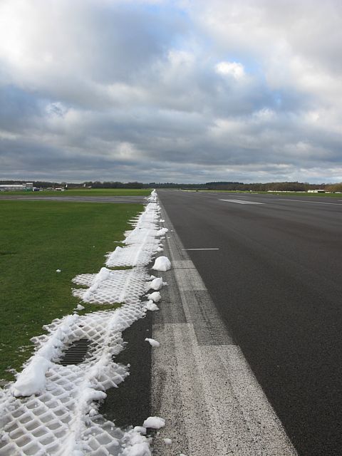
RunwayIce2.jpg
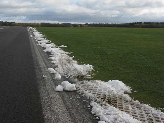
RunwayIce3.jpg
SnowRemnants1.jpg
SnowRemnants2.jpg
Click here to return to the main Pictures index.
Click here to go to my 2009 diary.
Click here to go to the 2010 images.
Click here to view the Aboyne 2009 Pictures page.
Click here to go to the 2008 images.
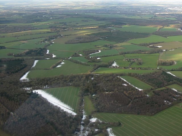
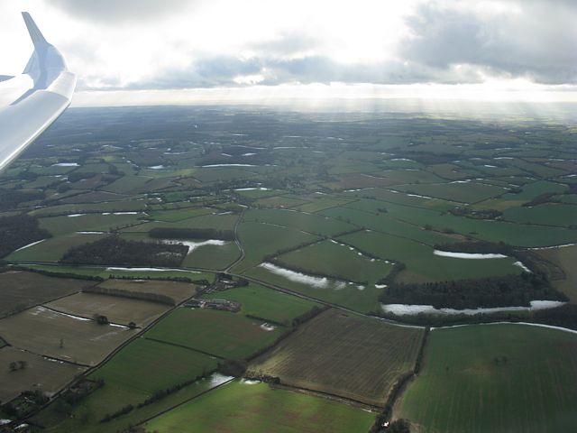
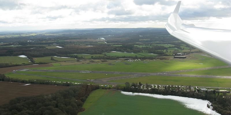
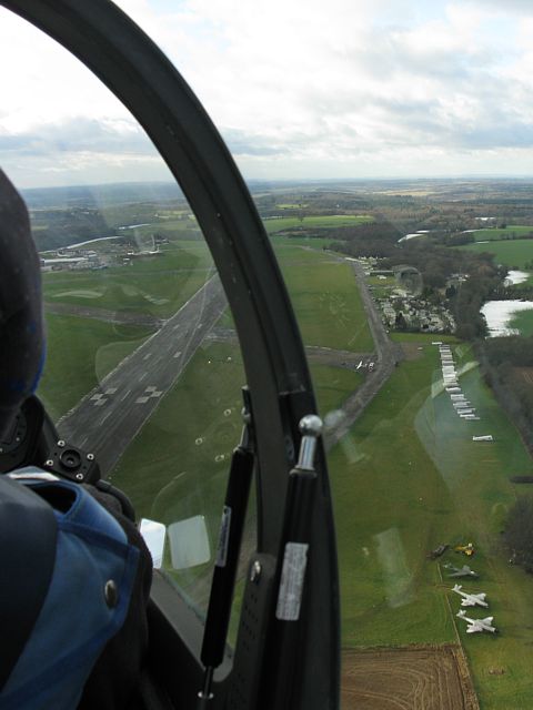
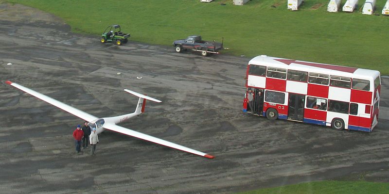
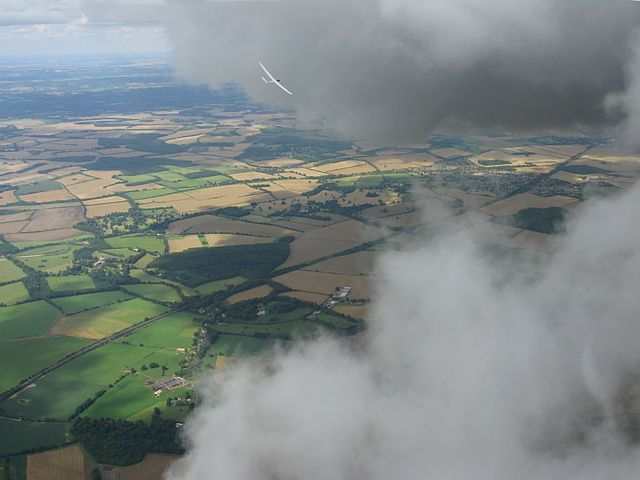
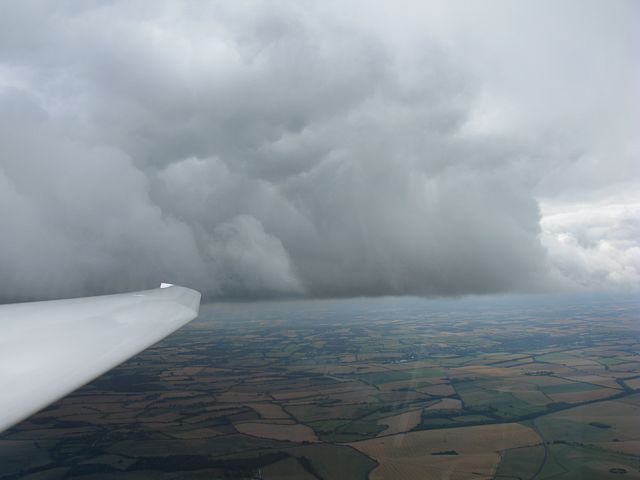
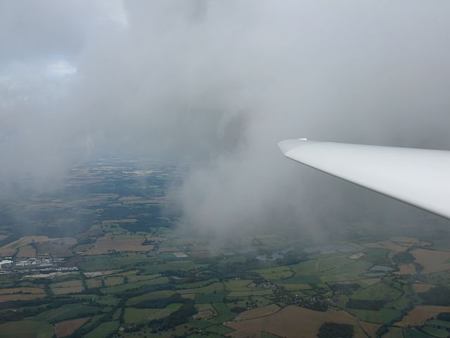
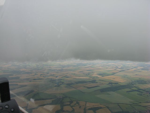
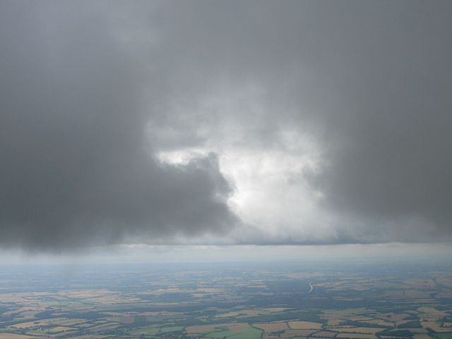
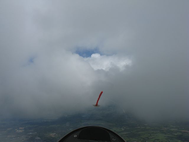
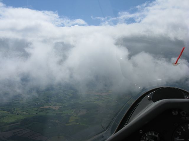
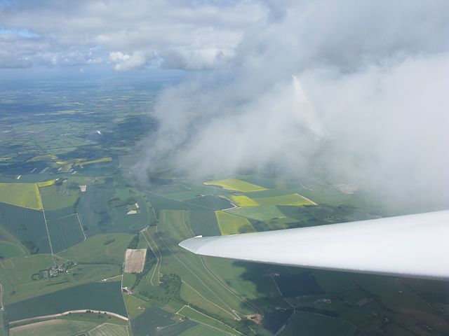
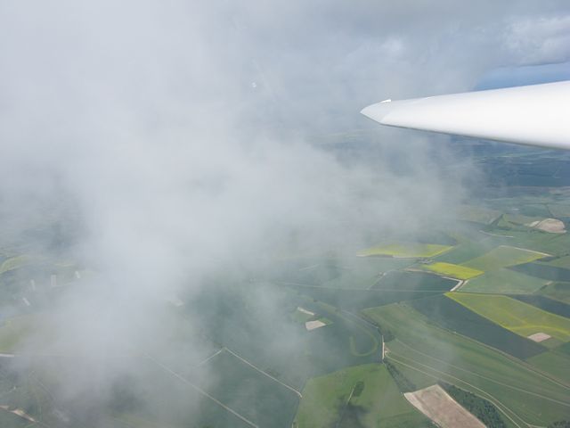
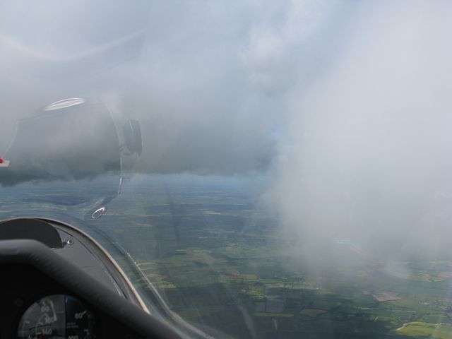
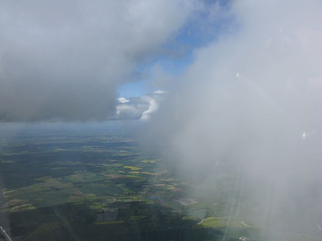
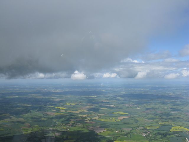
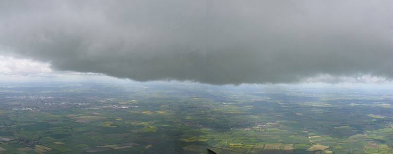
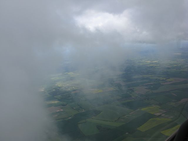
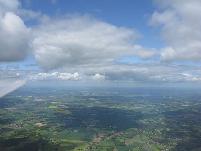
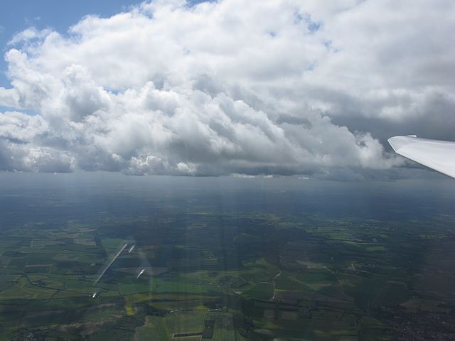
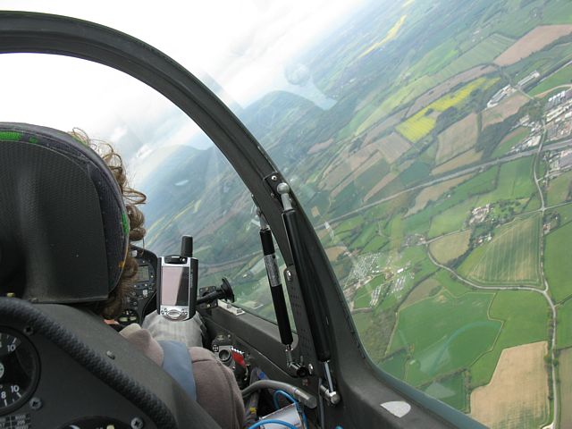
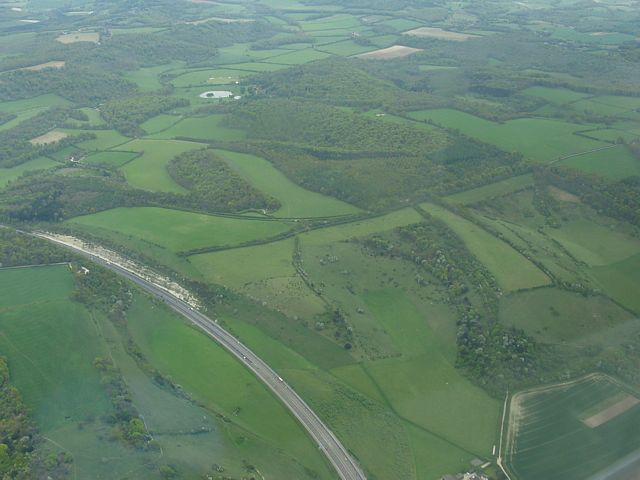
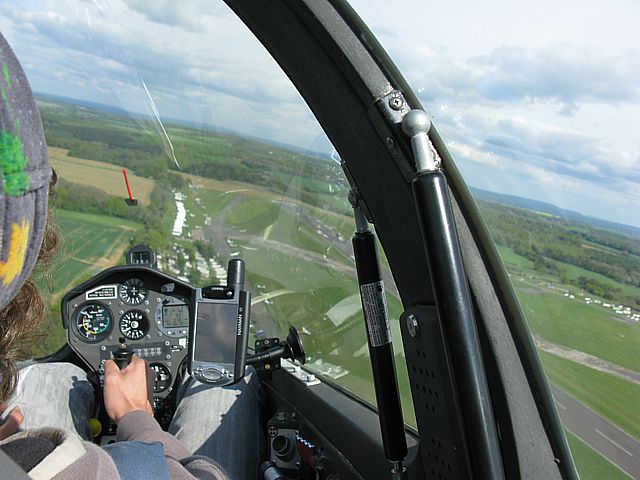
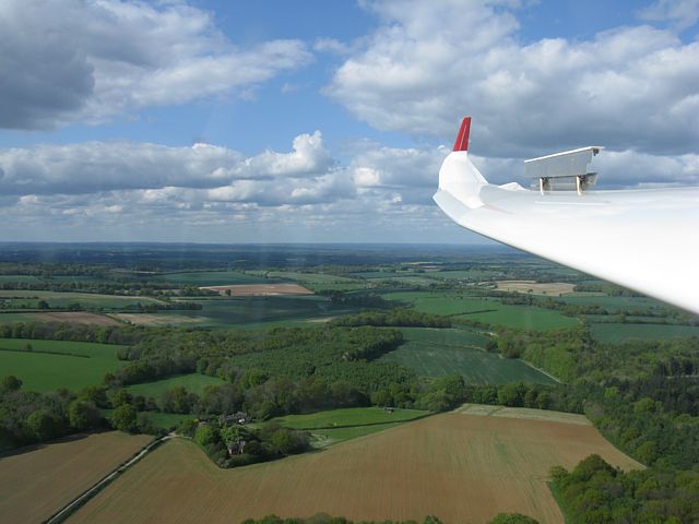
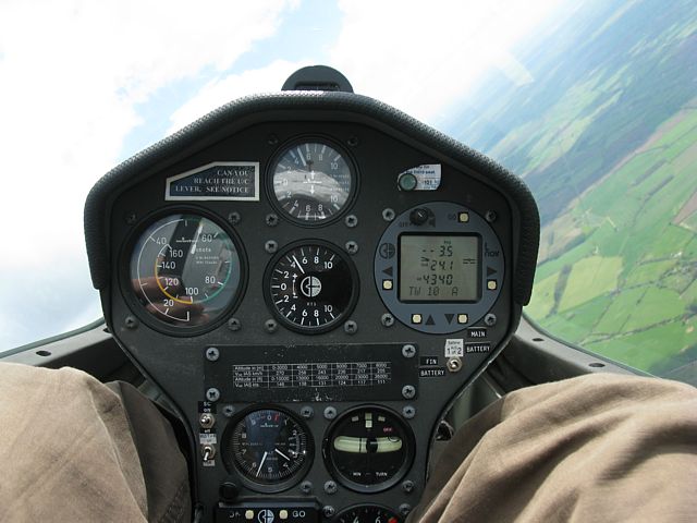
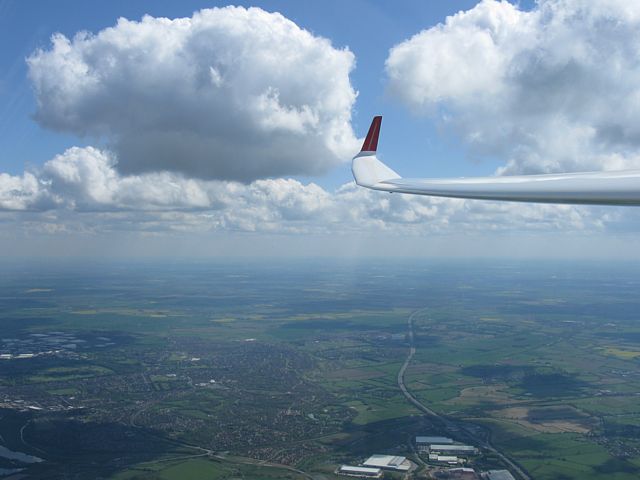
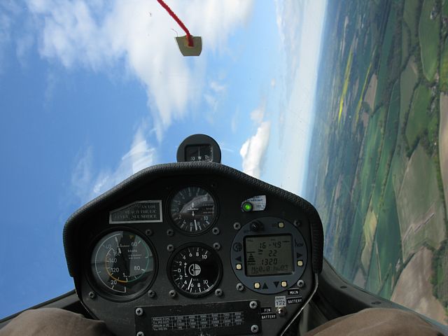
Ice and old snow still existed around the airfield after a recent cold snap. After taking the ground pictures I took 3 winch launches to stay current. Then Derek Copeland offered me the back seat of 45 for a free ride for his flight to stay current. During that bonus flight I took all the aerial pictures, including some rare on circuit and approach pictures.
|
RunwayIce1.jpg |
RunwayIce2.jpg |
RunwayIce3.jpg |
SnowRemnants1.jpg |
SnowRemnants2.jpg |
| Ice along the edges of the runway. The large block in the first pic I stood on and it took my weight. The other block shows where I stood on it leaving a U shaped gouge. This ice lined the south side of the runway. More was on the north side. A tractor had been running over it to crush it so it melts away. | Looking around just after launch at the patches of snow that have survived in the shadows. | |||
 Derek.jpg |
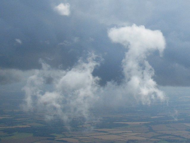
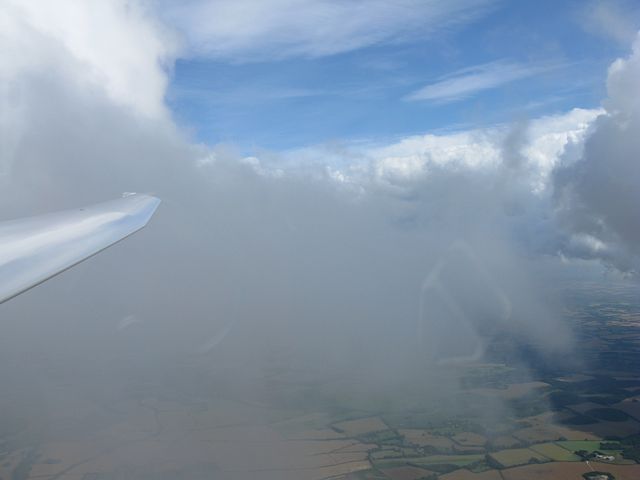
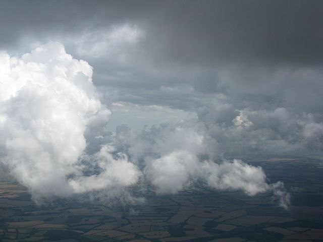
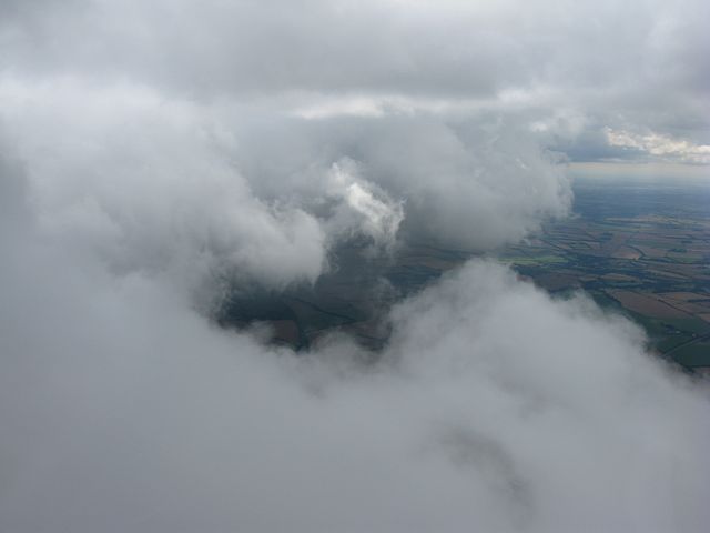
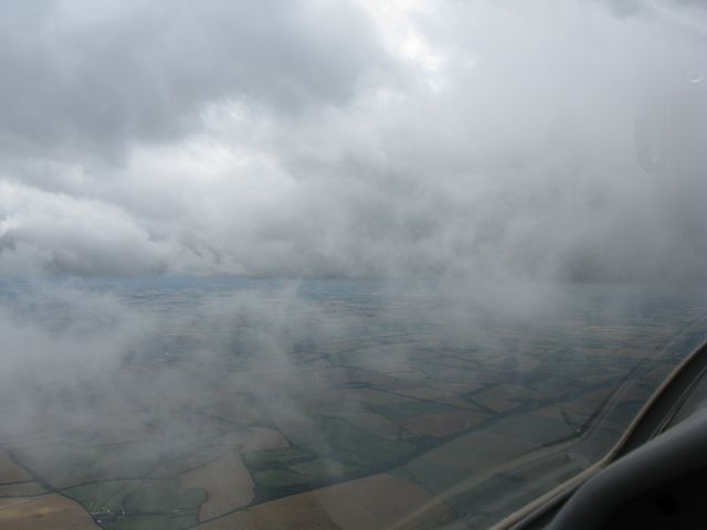
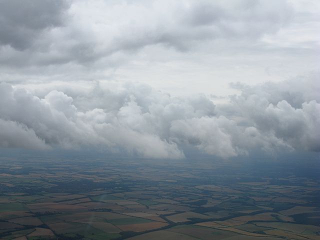
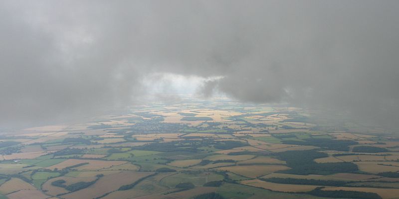
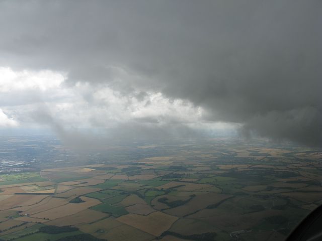
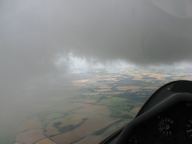
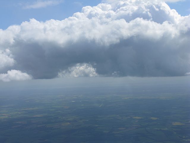
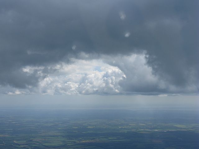
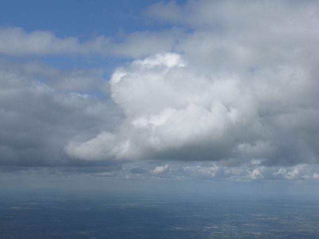
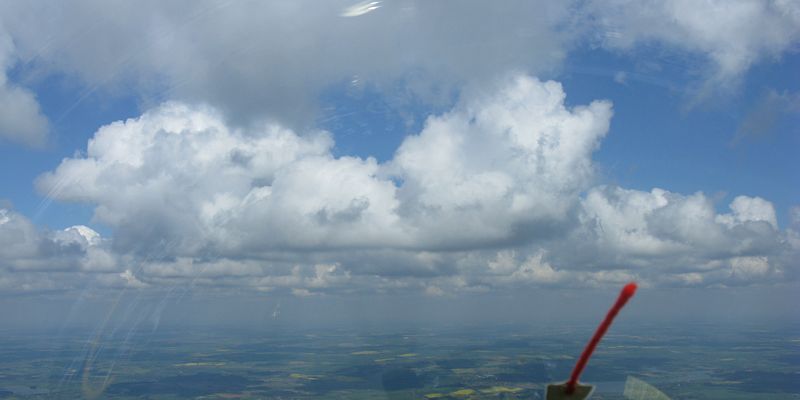
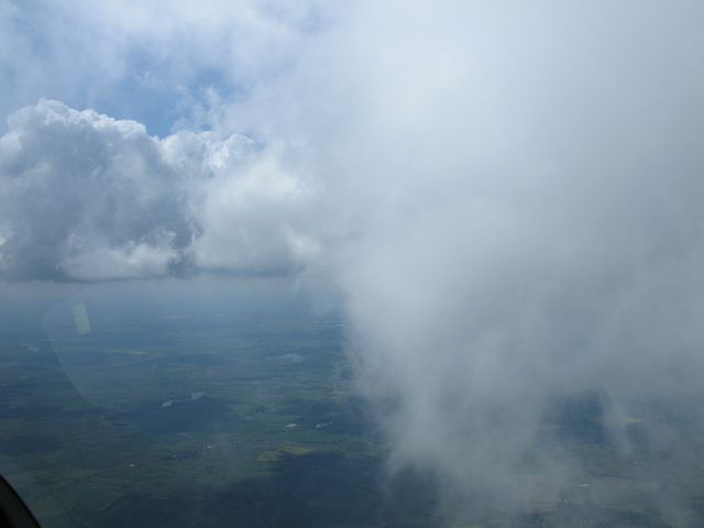
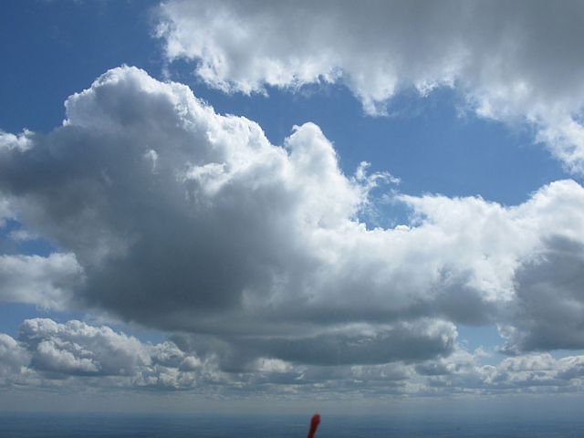
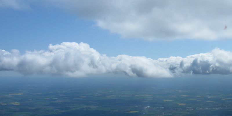
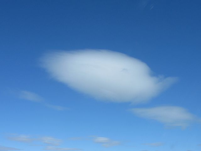
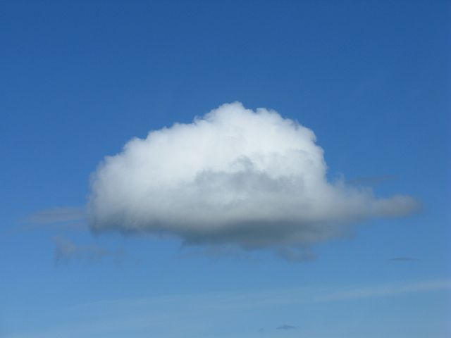
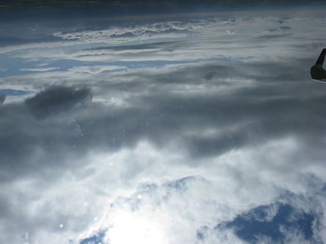
 Cloudscape1.jpg |
 Cloudscape2.jpg |
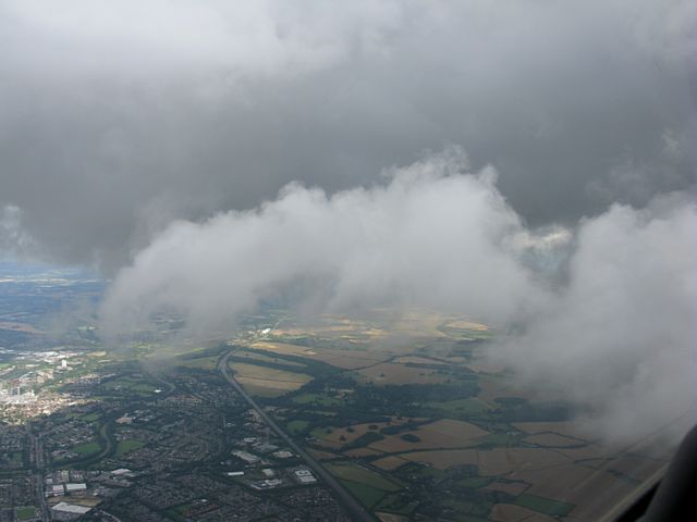
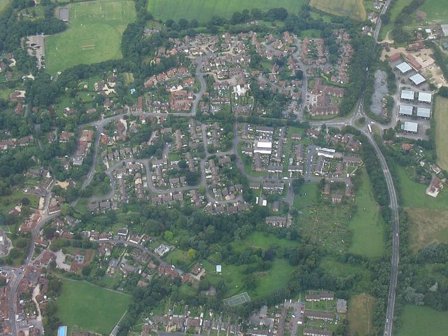
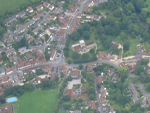
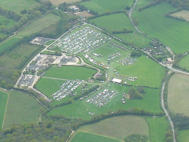
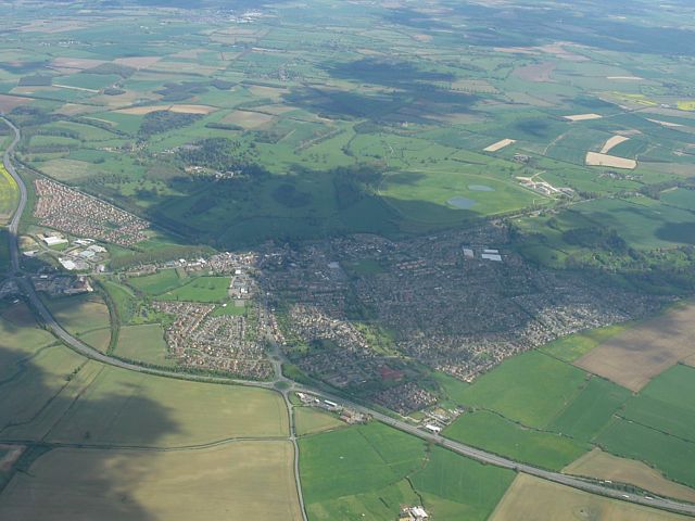
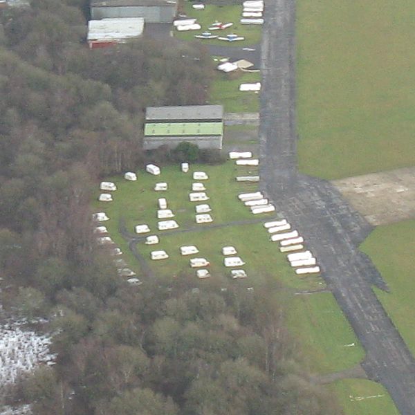 CouncilEstate.jpg |
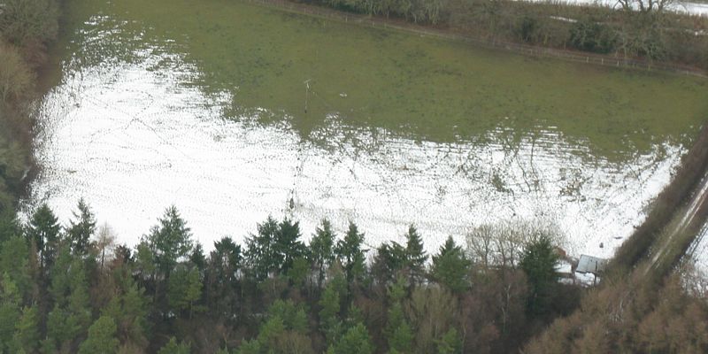 SnowRemnants3.jpg |
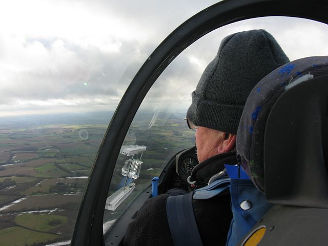
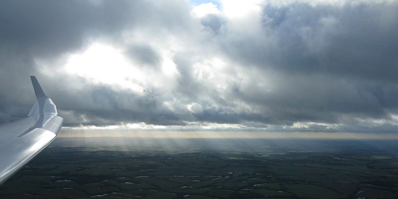
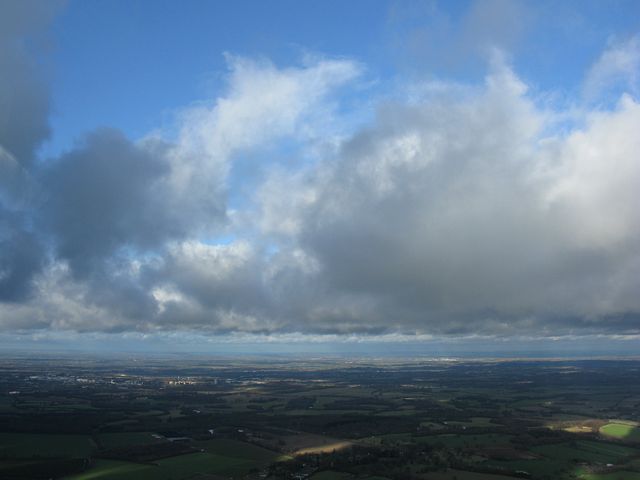
| Derek Copeland in the front seat flying DG1000 45. | There were some nice cloudscapes today complete with crepuscular rays. | The 'Council Estate' caravan site where my newly acquired caravan is. | Large patch of snow complete with footprints. | |
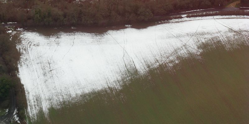 SnowRemnants4.jpg |
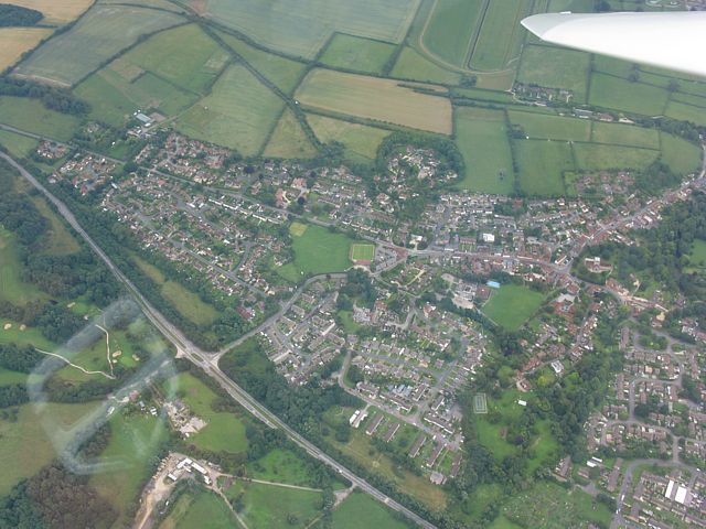
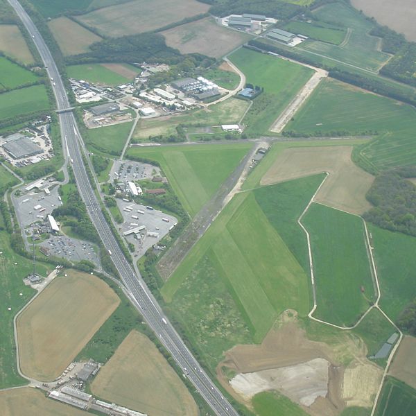
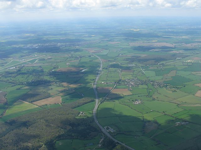
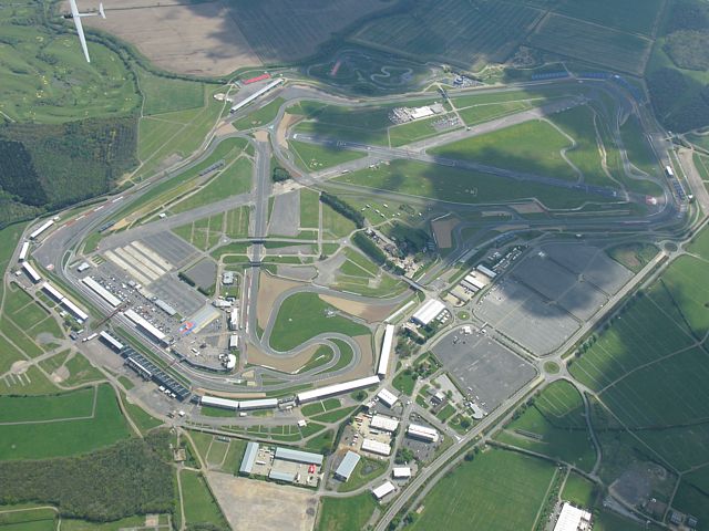
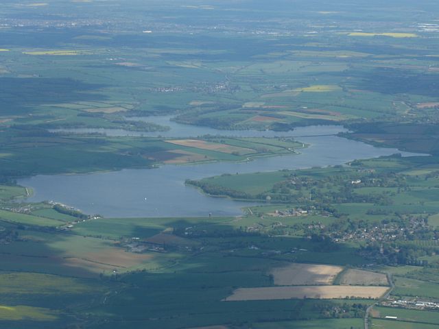
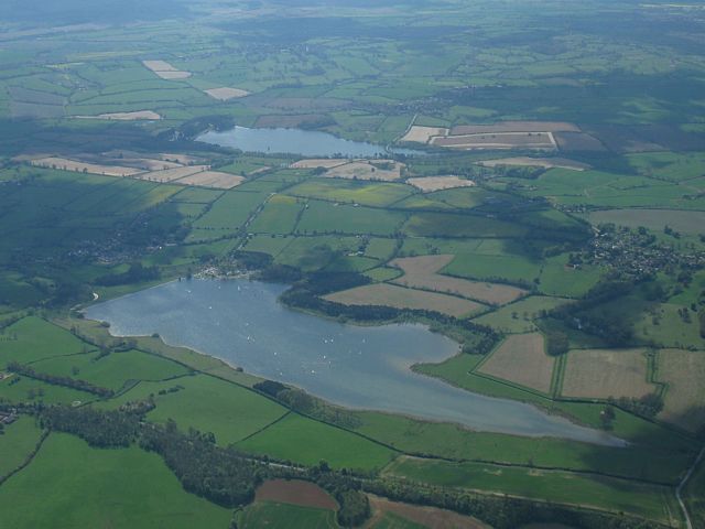
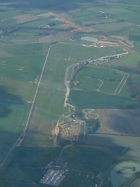
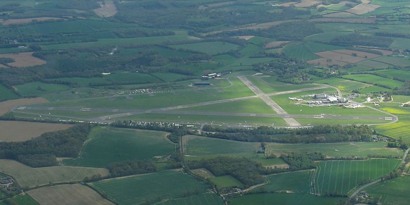
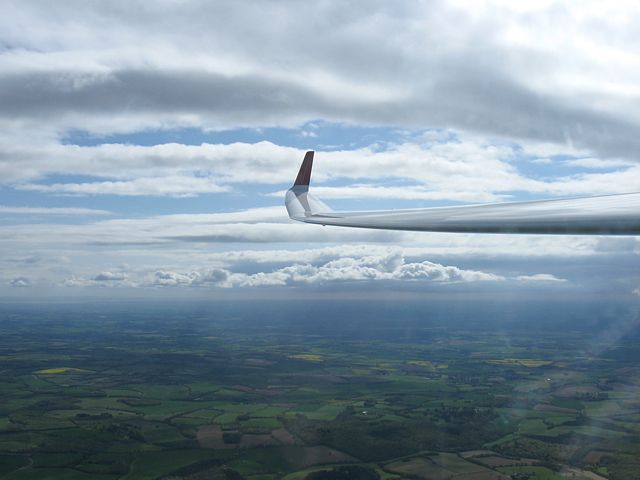
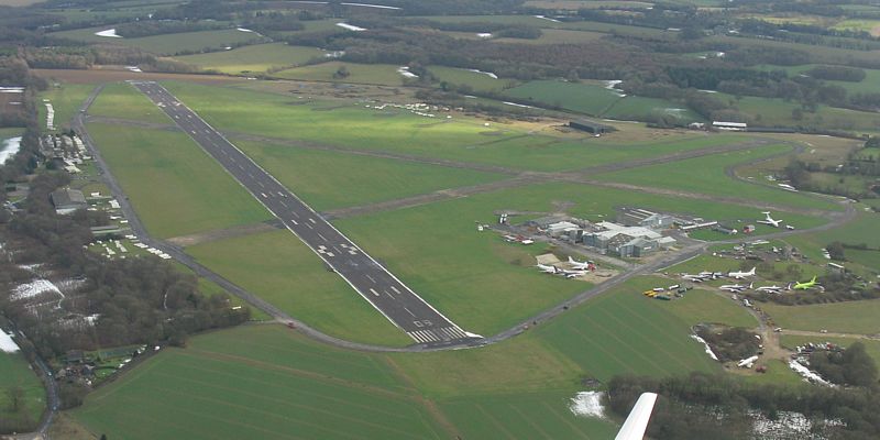 Lasham.jpg |
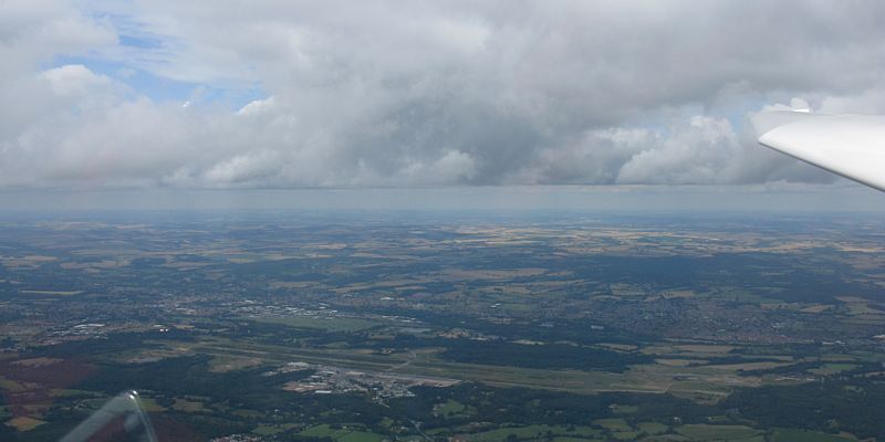
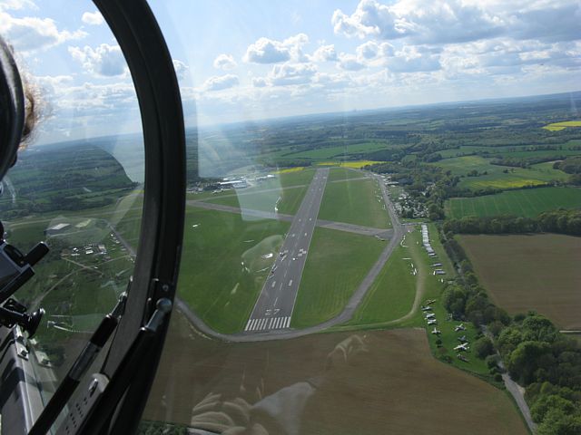
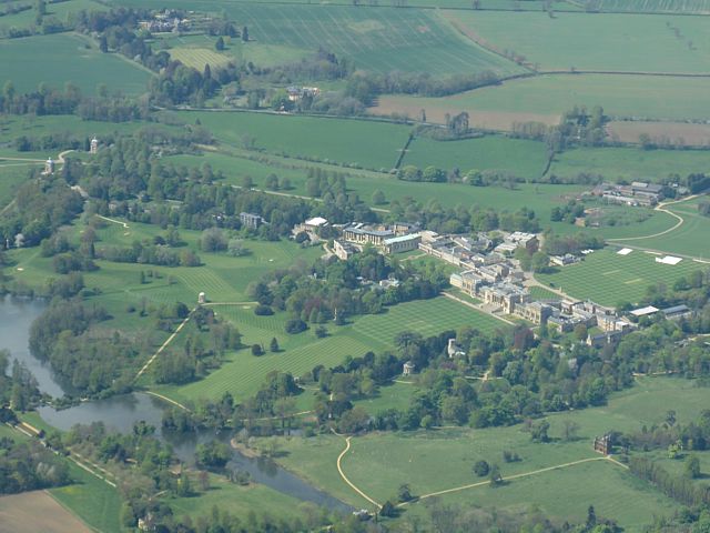
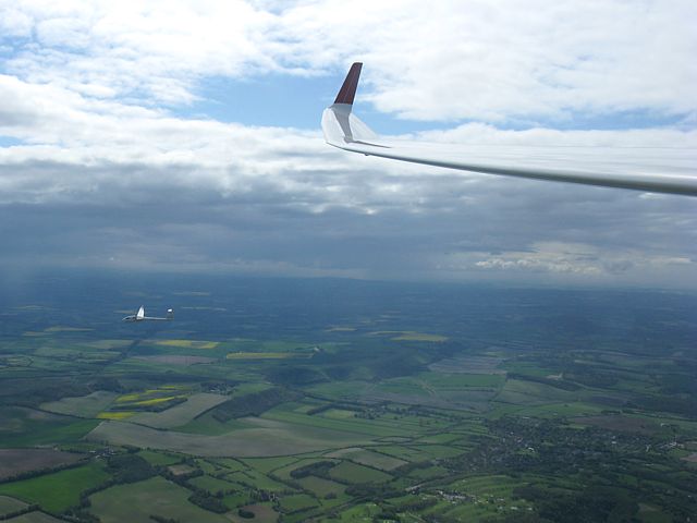
 LashamFromCircuit.jpg |
 LashamApproach.jpg |
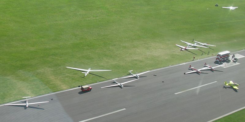
 LaunchPointFlyBy.jpg |
| Another large patch of snow complete with footprints. | Looking at Lasham from preparation for circuit to approach. I rarely get to appreciate the view this low down as I am normally focussed on flying and landing safely. | Flying past the launch point on the way to the hangar. They have moved off to the side as a 'movement' is in progress. A jet landed on the main runway soon after we landed by the hangar. | ||
I spent this period at Aboyne airfield between the Cairngorms and Aberdeen. These pictures are on their own page. Click here to see the Aboyne pictures.
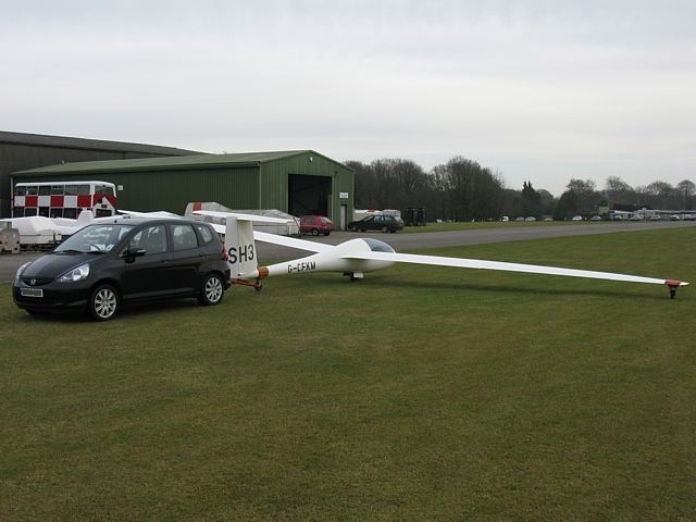
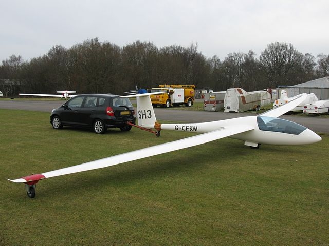
A few pictures from the ground after I handed SH3 over to another pilot.
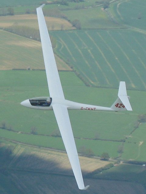
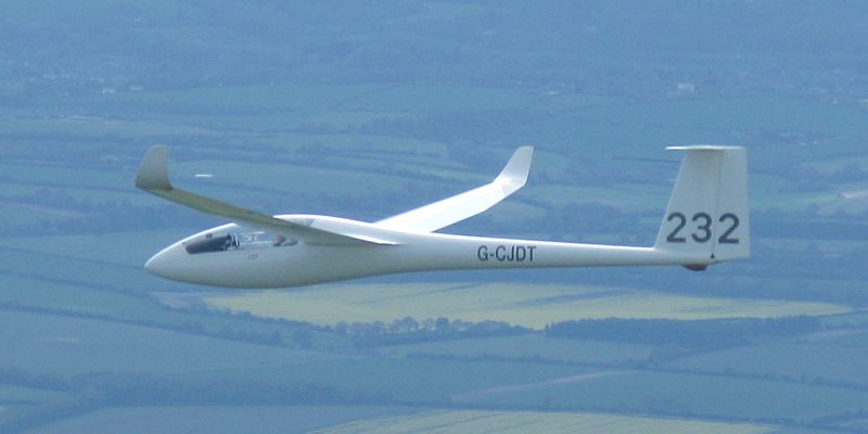
 SH4.jpg |
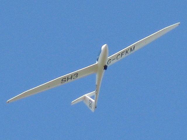 SH3.jpg |
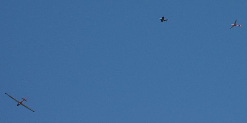 K13s.jpg |
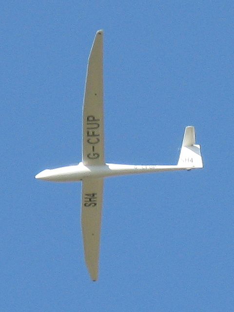
| Lasham Discuses SH3 and SH4 local soaring in blue thermals. | 2 K13's in the sky. One on tow (by a Robin I think). | |
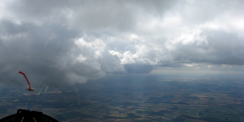
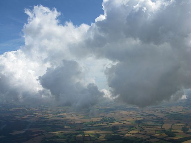
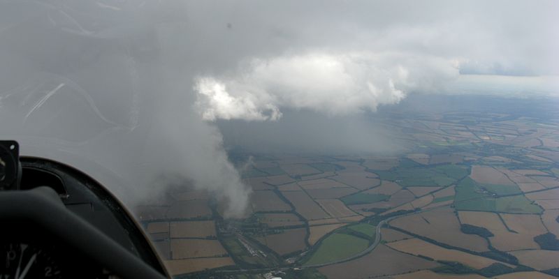
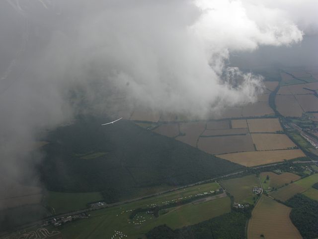
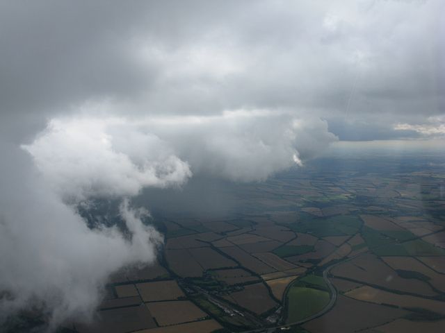
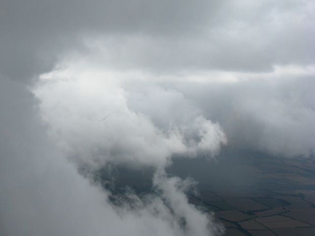
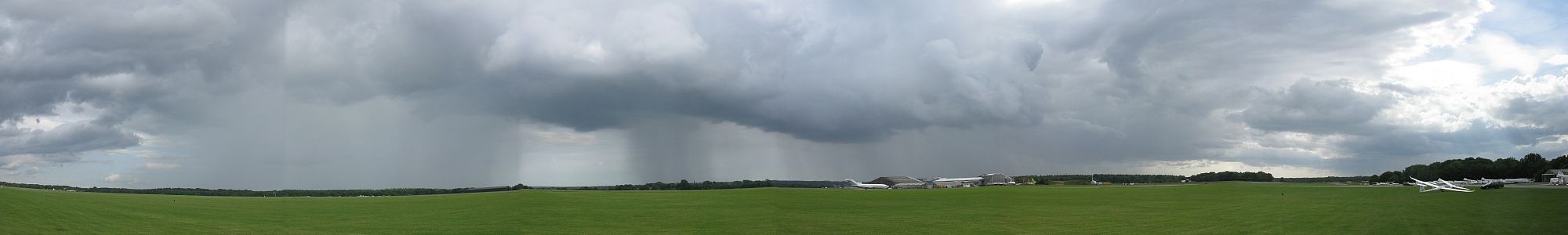
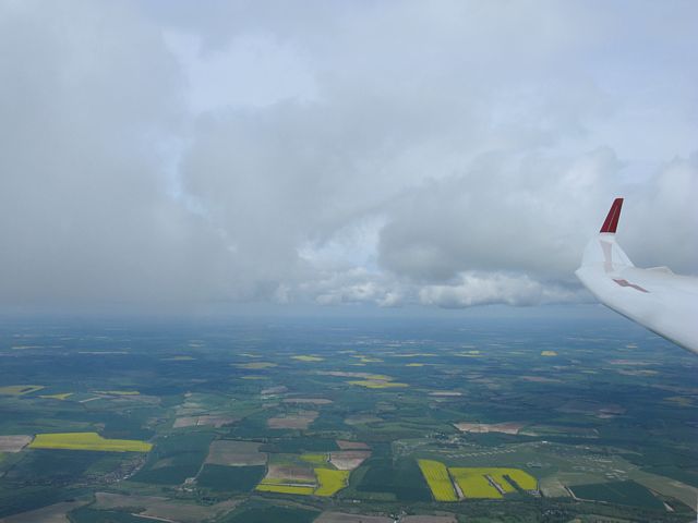
The highlight of today was not the 251km that I flew, but the end of the flight when I explored a spectacular sea breeze convergeance passing over Lasham and Basingstoke. At one point I was 4500 feet above Lasham at inland cloudbase, while the convergeance cloudbase was down at about 3000 feet.
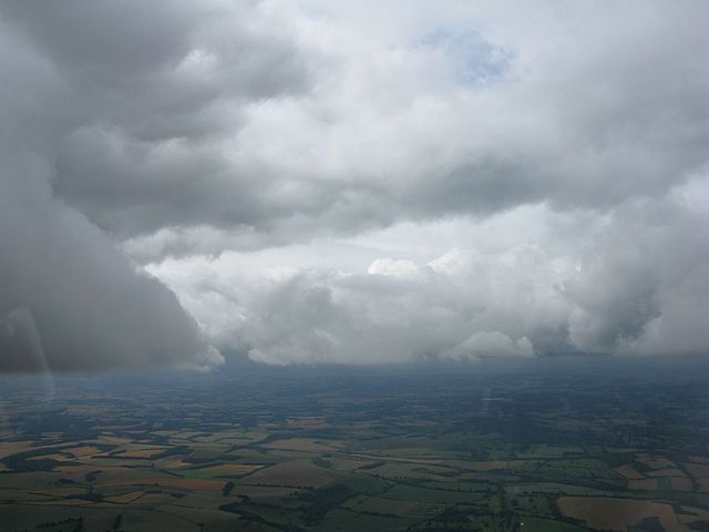
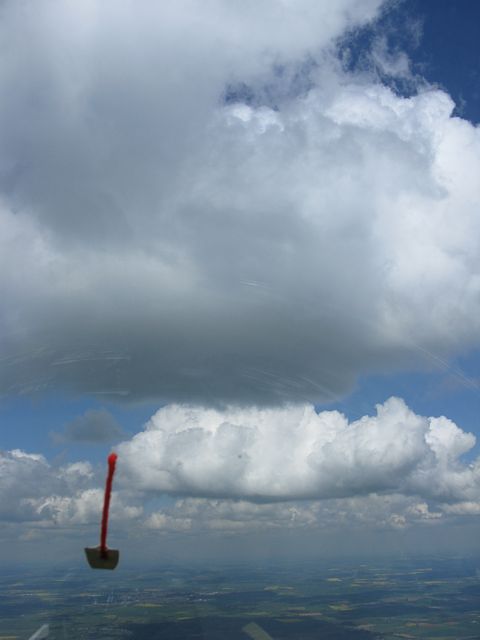
 InlandCloudscape.jpg |
 Convergeance1.jpg |
 LowWisps1.jpg |
 Convergeance2.jpg |
 Convergeance3.jpg |
 Convergeance4.jpg |
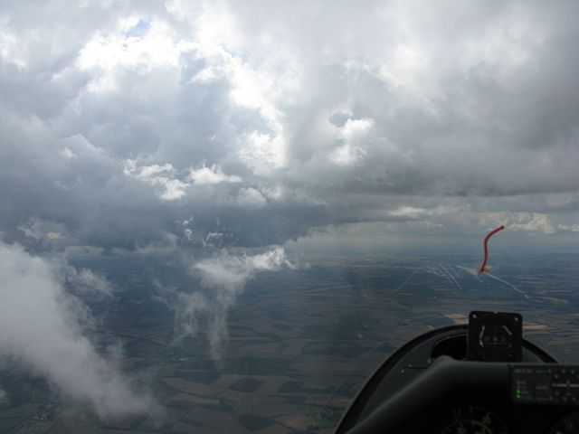
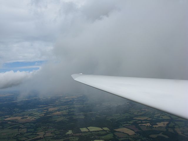
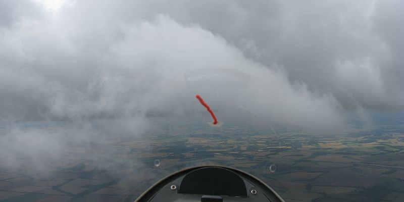
| Looking inland some big clouds and strong thermals interspersed with patches of heavy sink and big gaps. | Looking to Lasham from Basingstoke at the convergeance. | Low wisps. | Cloudbase stepping down at the convergeance. | Clouds are getting so ragged I am finding them hard to 'read'. | Arty shot looking down on convergeance cloud below me. |
 Convergeance5.jpg |
 Convergeance6.jpg |
 Tendrils.jpg |
 Convergeance7.jpg |
 Convergeance8.jpg |
 LowWisps2.jpg |
| Flying alongside lower cloud. | Looking through a hole in the convergeance towards the South Coast beyond. | Tendrils forming under a Basingstoke cloud as the sea air arrives. | Convergeance over Popham. | Another shot showing how ragged the clouds are. | Flying west alongside the convergeance in very weak lift. |
 LowWisps3.jpg |
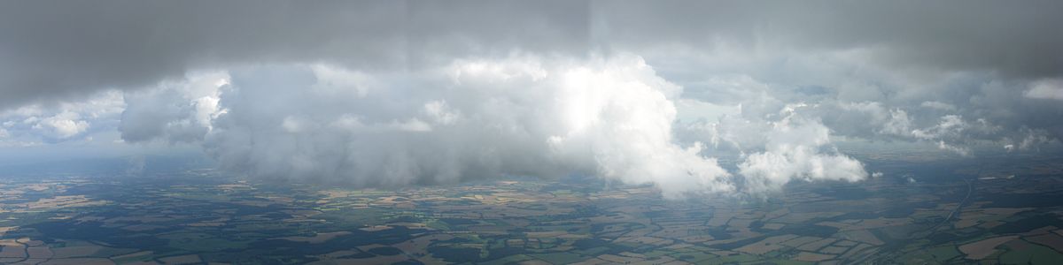 ConvergeancePanorama.jpg |
 Convergeance9.jpg |
 LowWisps4.jpg |
| A low wisp lit up by a shaft of sunlight over Popham. | Multishot panorama of another convergeance cloud back at Basingstoke. | Looking over more low cloud as I head West again back towards Popham. | |
 Convergeance10.jpg |
 Convergeance11.jpg |
 ConvergeanceShower1.jpg |
 Convergeance12.jpg |
 ConvergeanceShower2.jpg |
| Running West along the edge of the convergeance, revealing an embedded shower. | Another glider also enjoying the spectacle over Popham. | Another shot of the embedded shower. | ||
 Convergeance13.jpg |
 Convergeance14.jpg |
 Convergeance15.jpg |
 Convergeance16.jpg |
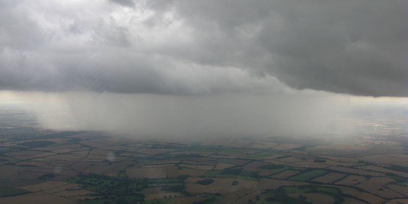 ConvergeanceShower3.jpg |
 ShowerPanorama.jpg |
| Following the other glider. | Two more shots of low cloud around me. | Getting a better view of the shower as I dive under the lower cloud on my way down to land. | A 6 shot panorama of the shower as it passed by the airfield after I landed. We did get some light rain but the main cells missed us to the South. | ||
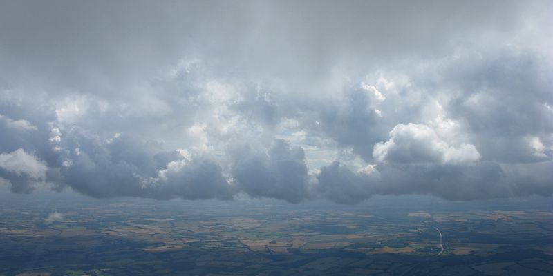
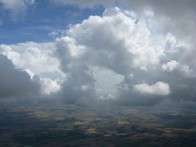
Another gliding day with some nice cloud shots and more taken. There was a lot of overdevelopment and top cover today. That and a 25 knot headwind meant I was limited to local soaring. But a fun flight anyhow.
 AboveCloudbase1.jpg |
 Kingsclere1.jpg |
 LowWisps1.jpg |
 LowWisps2.jpg |
 Kingsclere2.jpg |
 Kingsclere3.jpg |
| Above cloudbase. | Looking down at the West side of Kingsclere from the East. | Flying past low wisps of cloud. | Looking at Kingsclere from the Northwest and Kingsclere Church from the North. | ||
 Cloudbase1.jpg |
 Cloudbase2.jpg |
 AboveCloudbase2.jpg |
 GreenhamCommon.jpg |
 AboveCloudbase3.jpg |
 AboveCloudbase4.jpg |
| Lots of overdevelopment! | To my South cloudbase was a lot lower. | Looking North-Northwest past Greenham Common to better skies. | More cloudshots from above cloudbase. | ||
 AboveCloudbase5.jpg |
 AboveCloudbase6.jpg |
 AboveCloudbase7.jpg |
 Cloudbase3.jpg |
| More cloudshots from above and around cloudbase. | |||
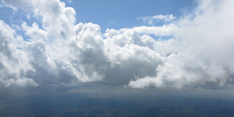
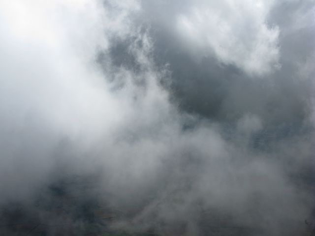
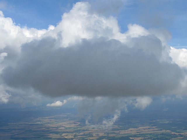
I took cloud pictures during a challenging flight. There were some strong thermals around, but the wind was blowing 30kts at cloudbase (5000 feet above Lasham) and that distorted the thermals a lot making it hard to centre. It was very slow pushing upwind. First time upwind it wasn't streeting very well and it was difficult. After I came back from Ashbury to Kingsclere, I pushed upwind again, this time under a huge cloud street that was starting to spread out. On the way back I practiced a couple of cloud climbs. At one point I climbed all the way to 6000 feet above Lasham, which was FL65. I came back as the overdevelopment started to get worse and showers started to form. A pretty good day considering it was pouring down earlier in the day and an associated cold front didn't clear until 10:45AM. Then it took only an hour to get decent soaring conditions. I launched at noon and was up for over 3 hours.
 AboveCloudbase1.jpg |
 Smoke.jpg |
 AboveCloudbase2.jpg |
 AboveCloudbase3.jpg |
 AboveCloudbase4.jpg |
 AboveCloudbase5.jpg |
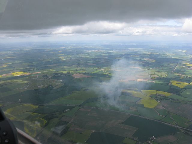
| Peeping through a gap in the clouds as I fly around following a cloud climb. | Back at cloudbase, I see a large puff of smoke. It came from the complex to the left of the picture (probably Welford). The road in the foreground is the M4. | Following another cloud climb, I took more pictures from above cloudbase. | |||
 AboveCloudbase6.jpg |
 AboveCloudbase7.jpg |
 AtCloudbase1.jpg |
 AtCloudbase2.jpg |
 AboveCloudbase8.jpg |
| More pictures from above cloudbase. | Pictures from cloudbase as I travel along a large overdeveloping cloud street. | Another picture from above cloudbase. | ||
 Spreadout1.jpg |
 Spreadout2.jpg |
 CloudHole1.jpg |
 CloudHole2.jpg |
 CumulusAndSpreadout.jpg |
| Looking at the spreadout around me as I scamper back to Lasham. | To the south a mysterious hole appears in a collapsing cumulus cloud like a bite has been taken out of it. | One last cloud shot before my flight ends. | ||
During a walk near Henley On Thames I managed a long range shot of gliders from Booker (to the north) local soaring a wisp-capped thermal. They were probably about 3000 feet up.
 BookerGliders.jpg |
| Booker gliders soaring. |
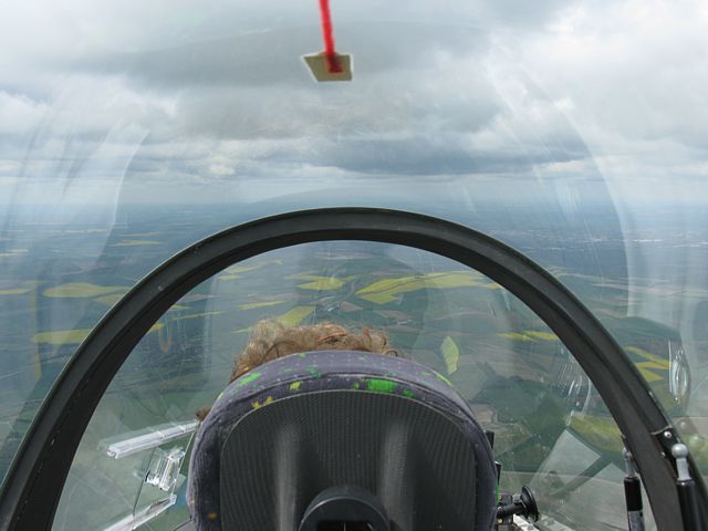
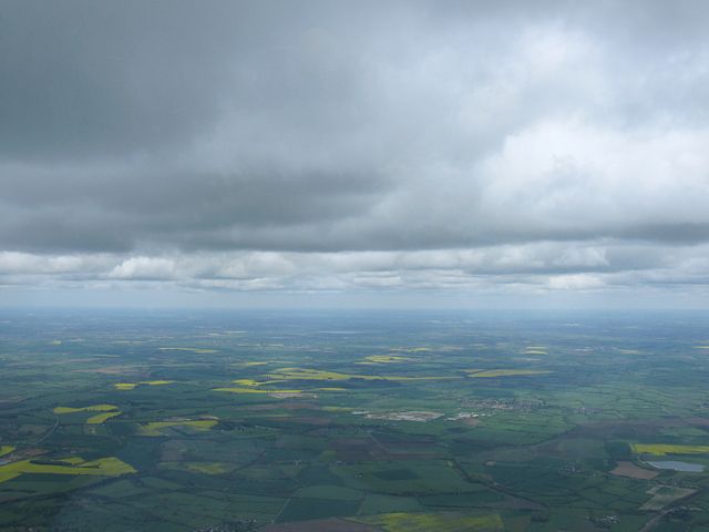
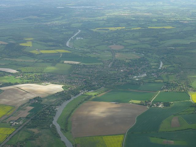
I flew DG1000 776 again today. This time I sat in the back and a fellow junior pilot in the front. We managed to get round a 251km task, Lasham - Birdlip - Bicester - Lasham. There are no pictures between the Birdlip area and the Benson area going home as during that middle part of the flight the cirrostratus top cover thickened up enough to almost kill the thermals. We hung on for ages near Enstone in just 1kt of lift, and eventually got across to better thermals closer to Bicester. We tip toed our way round staying high until, around Benson, the cirrostratus cleared suddenly and the thermals started booming again. It was then that we knew we would finally get home. In the end I was a bit conservative with final glide. The plus side is we had enough energy to push close to VNE during the competition style finish.
This is the first time I have managed to photograph the river Severn. And for Alex this was his longest ever cross country. It was my pleasure to share some of my experience, and good fun given neither of us got a single seater in the ballot. In the end it was a good day to have big wings so it wasn't quite such a bad thing that!
 Clouds1.jpg |
 LookingAhead.jpg |
 Soaring.jpg |
 Event.jpg |
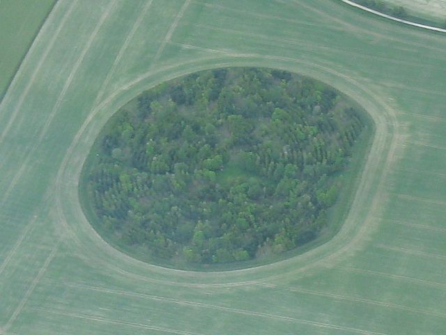 WoodInField.jpg |
| Cloudshot showing the variability of cloudbase. | Looking ahead from the back seat. | Soaring near Membury. | A gathering across the motorway from Membury. | A curious field with a circular wood in the middle. |
 Lambourn.jpg |
 Membury.jpg |
 Clouds2.jpg |
 Shrivenham.jpg |
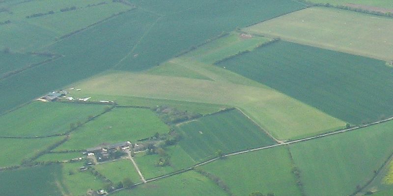 SandhillFarm.jpg |
| Lambourn from the WSW. | Membury from the West. | Another cloudshot. Looking northwest from Membury towards Swindon as top cover thickens. | Shrivenham from the Southeast. Sandhill Farm visible near the left edge. | A closer look at Sandhill Farm. |
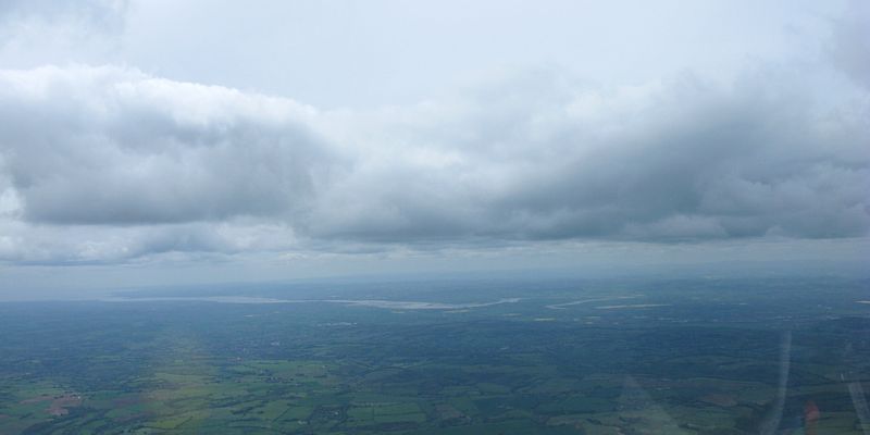 Severn.jpg |
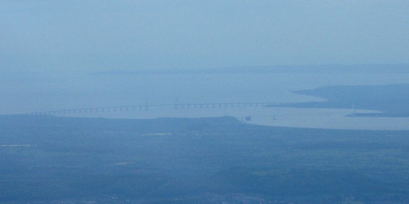 SevernBridge.jpg |
 BaldHill.jpg |
 Goring.jpg |
 FinalGlide1.jpg |
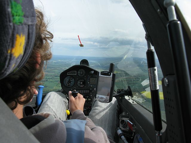
| Looking over the Cotswolds ridge towards Stroud, Nympsfield and the river Severn as we get near Birdlip. By now the thickening cirrostratus is quite ominous. | A distant hazy view of the Severn Bridges. | Now on the way home, a view of the M40 as it descends from the Chilterns, and Bald Hill (Silver Spotted Skipper country). | Goring from the North. | Alex in control as we make it onto final glide. |
 FinalGlide2.jpg |
 FinalGlide3.jpg |
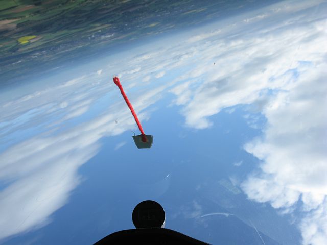
 LashamApproach1.jpg |
 LashamApproach2.jpg |
 Launchpoint.jpg |
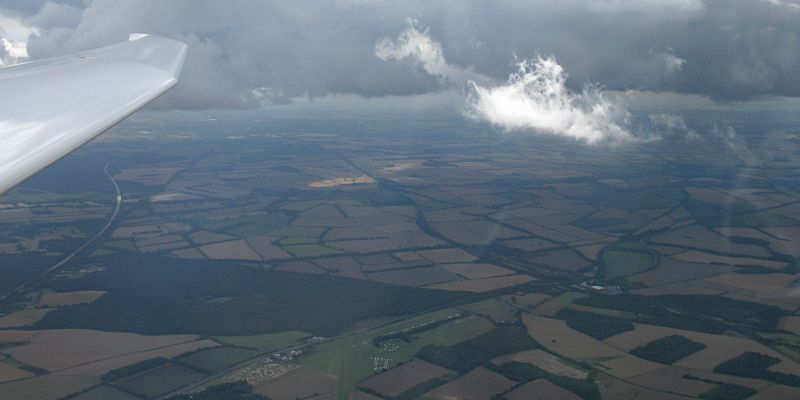
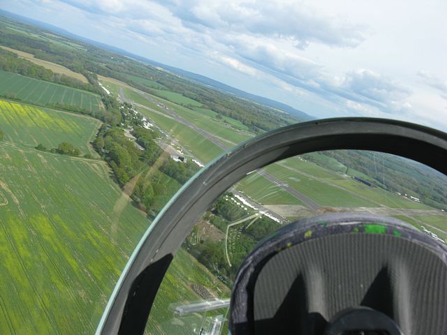
| A rare chance for me to take pictures during final glide, approach and landing. This phase of the flight is too critical to risk taking pictures and fly simultaneously. But with Alex in control I am free to take pictures. The final glide finishes with a fast competition style flyby. Then round we go onto final approach to land on runway 27, going long, past the launch point, to land by the hangar. | ||||
Some decent weather today. I went 2 up in DG1000 776 and enjoyed my first decent cross country of the year with a fellow pilot. Together we flew Lasham - Oxford South - Market Harborough - Chieveley - Lasham for 301km. With cloudbase topping 6000 feet between Silverstone and Didcot it was stonking for much of the flight. Only top cover back at Lasham spoilt the end of the flight, as we struggled to get home. But we made it in the end despite getting very low at Basingstoke. Having climbed to over 3000 feet in the Basingstoke thermal Sage in the back treated me to some aerobatics to finish the flight off. Thanks Sage!
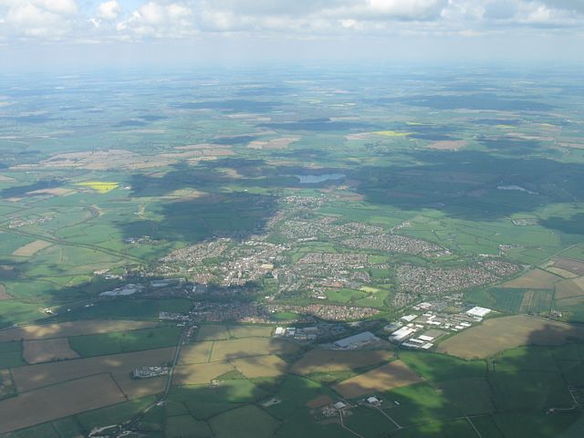 Buckingham.jpg |
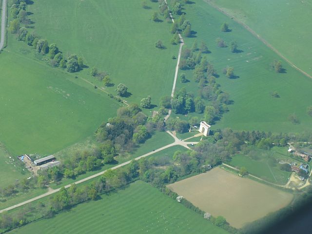 CorinthianArch.jpg |
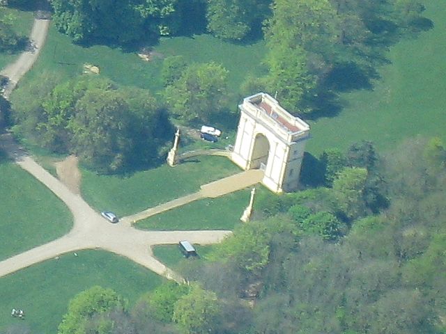 CorinthianArchZoom.jpg |
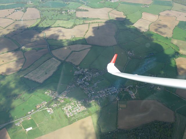 Akeley.jpg |
 Soaring1.jpg |
 StoweSchool.jpg |
| Buckingham from the Southwest. | The Corinthian Arch to the NW of Buckingham. | Soaring over Akeley, North of Buckingham. | Soaring in a thermal. | Stowe School, NW of Buckingham, from the ENE. | |
 FoxcoteResr.jpg |
 Clouds1.jpg |
 SyreshamBrackley.jpg |
 Silverstone.jpg |
 Towcester.jpg |
 Clouds2.jpg |
| Clouds mirrored by Foxcote Reservoir, seen from the North. | Gorgeous conditions! | Looking SW along the A43 from near Silverstone past Syresham to Brackley in the distance. | Soaring with 424 over Silverstone. | Towcester from the West. | More lovely cumulus clouds ahead! |
 CloudsNorthampton.jpg |
 PitsfordWater.jpg |
 424.jpg |
 Clouds3.jpg |
 HollowellRavensthorpe.jpg |
 MarketHarboroughApproach.jpg |
| Clouds above Northampton as we pass over the M1. | Pitsford Water from the Southwest. | A closeup of glider 424. | Cruising along track through bootiful skies. Gorgeous clouds with gorgeous thermals under them. | Hollowell (Foreground) and Ravensthorpe reservoirs from the NE, with Guilsborough on the right and Hollowell on the left. | Approaching Market Harborough from the SSW. Clipston at the bottom of the picture. |
 MAh1.jpg |
 MAh2.jpg |
 Clouds4.jpg |
 HusBos.jpg |
 Clouds5.jpg |
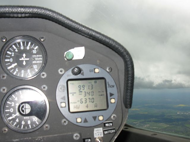 6370.jpg |
| Market Harborough turning point (MAH) from the North (Closeup) and from the West. | Climbing up the side of a 'low' cloud above Market Harborough. | Looking at Hus Bos gliding club from the East as we head South back to Lasham. | Another gorgeous cloudscape. | Accidental shot when we got up to around 6400 feet. (LNav is QNH.) | |
 Clouds6.jpg |
 FinalGlide.jpg |
 232.jpg |
 Lasham.jpg |
 LashamLennie.jpg |
 Clouds7.jpg |
| Lower clouds ahead as top cover and sea air make their influence felt as we start final glide. | On final glide with 232 alongside us. | Closeup shot of 232 as he pushes ahead of us. | Back to Lasham after 3h50m on task. | Curious lenticular cloud in the vicinity of Lasham. | Looking towards the low pressure to the West. |
 LoneCumulus.jpg |
 Aerobatics1.jpg |
 Aerobatics2.jpg |
 Aerobatics3.jpg |
| A lone local cumulus cloud. | Finishing the flight with some aerobatics before we land. | ||
My first flights of 2009 today, which culminated in a wave flight! The South Downs were generating weak wave in the brisk Southeasterly wind. I missed the best of it as the wind was dropping but caught enough to extend a 2500 foot aerotow flight to almost an hour (and climbed slowly to 3000 feet before I lost the wave). Today was also noted as my new car's first trip to Lasham, and a chance to test the towbar too.
 JazzTowingGlider1.jpg |
 JazzTowingGlider2.jpg |
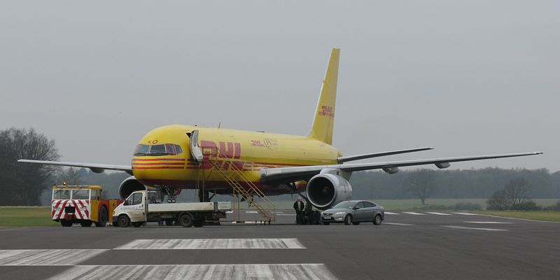 Jet.jpg |
 BuggyTowingGlider.jpg |
 LaunchPointQueue.jpg |
| Using the Jazz's towbar for the first time, to take a Discus to the launchpoint. | A large jet sitting on runway 09 after having just landed. | Towing a DG1000 back to the launchpoint after landing. | The winch queue at the launchpoint. | |