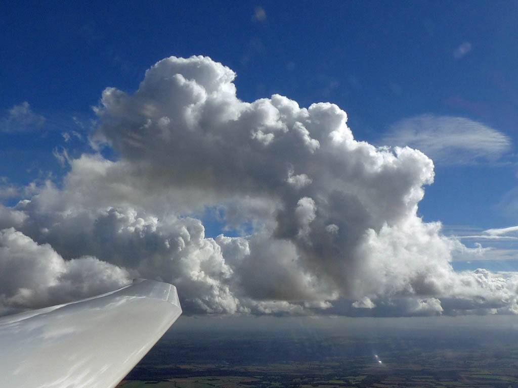
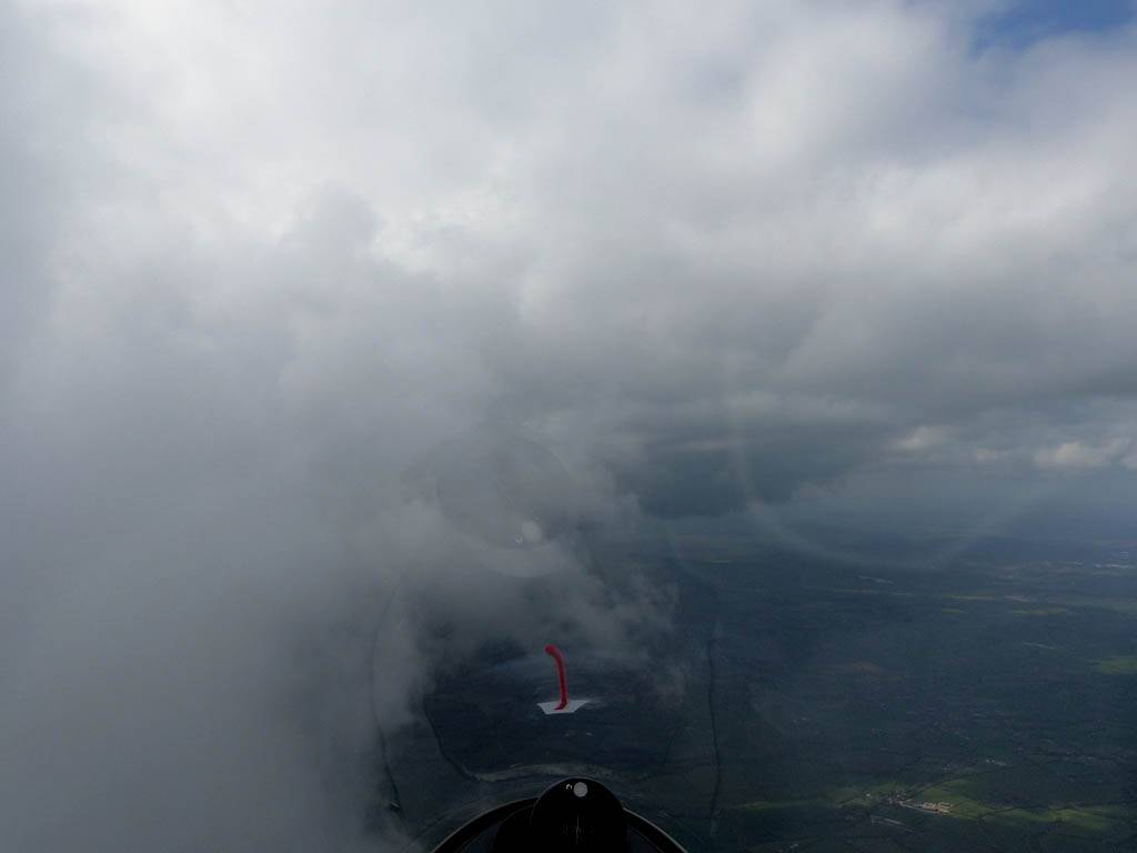
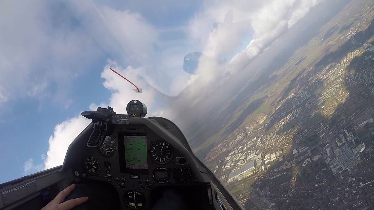
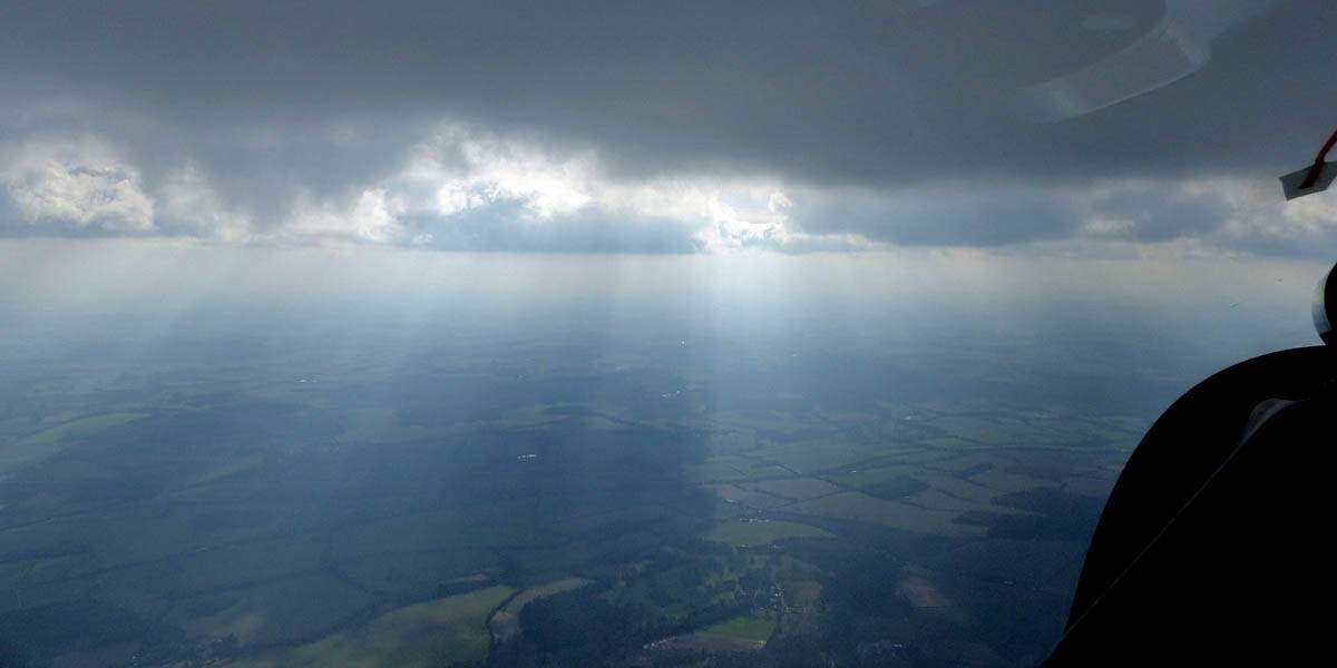
IMG_3902.jpg
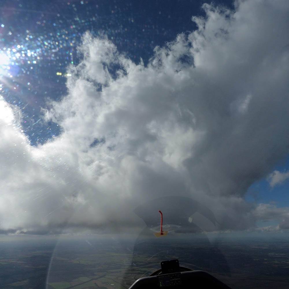
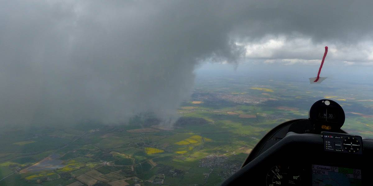
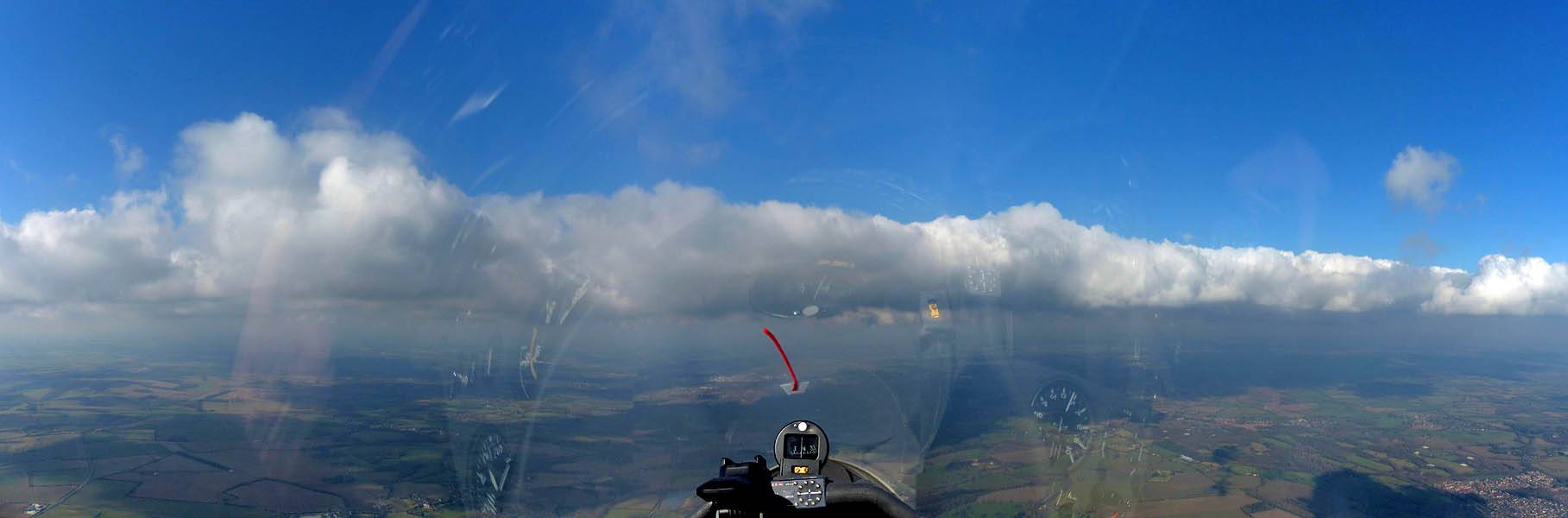
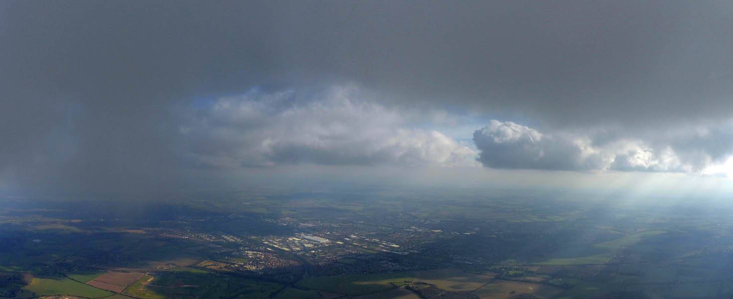
IMG_3903.jpg
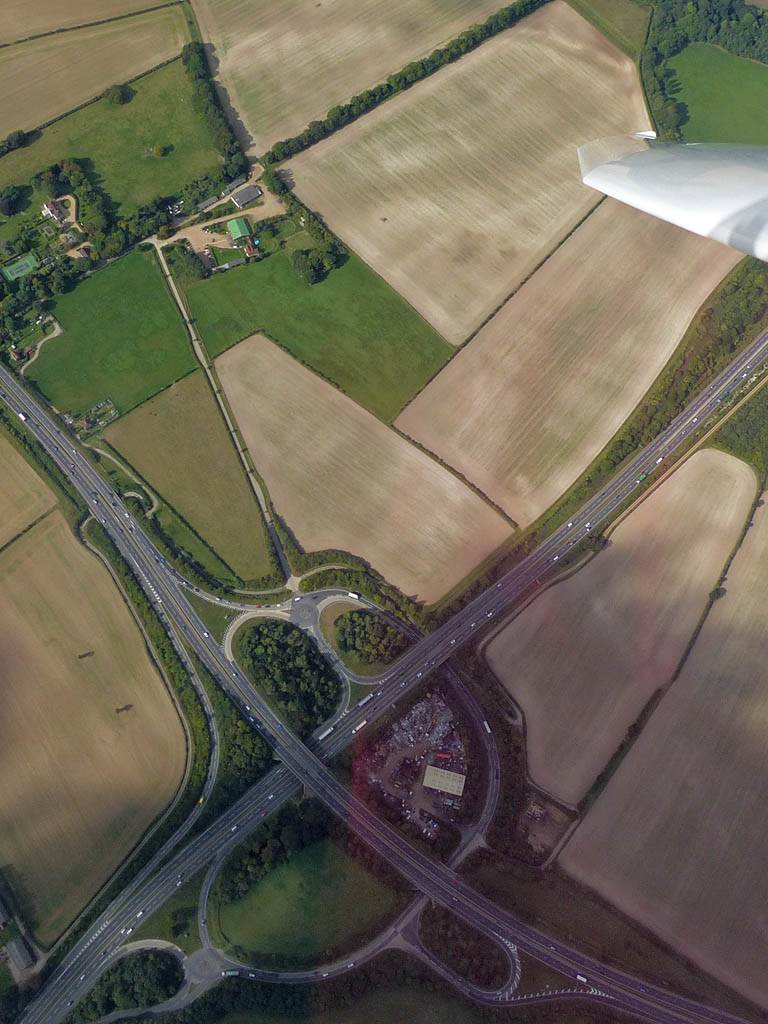
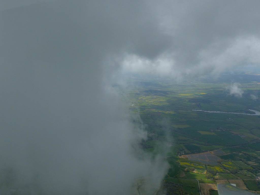
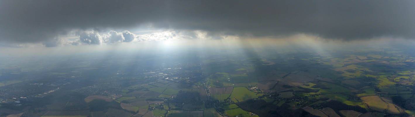
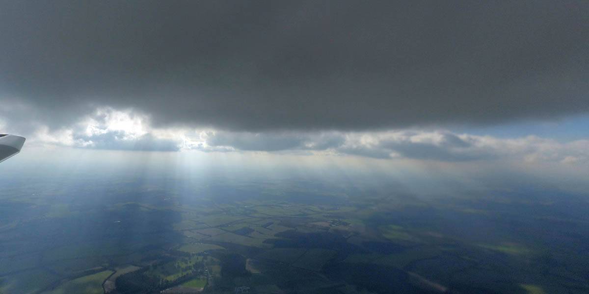
IMG_3904.jpg
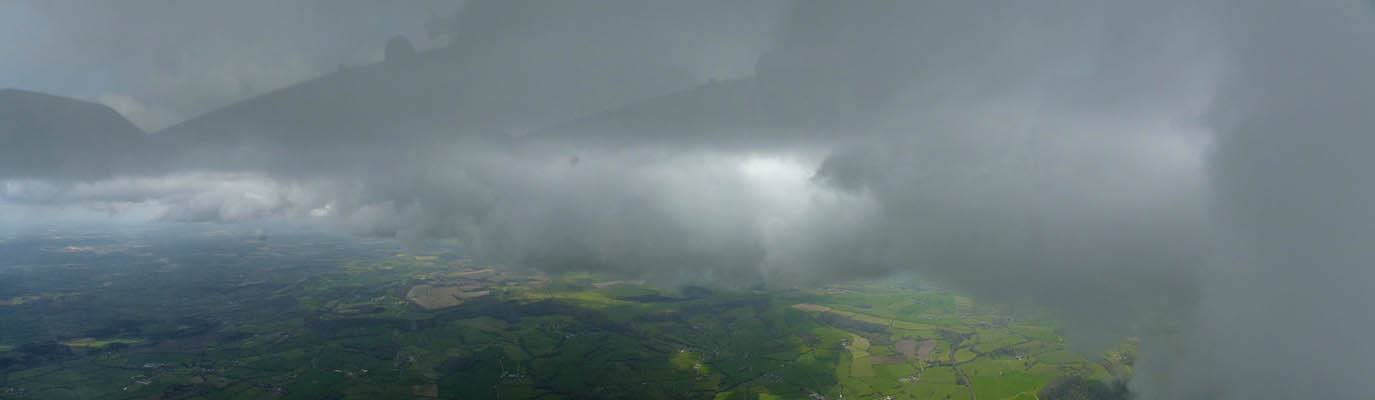
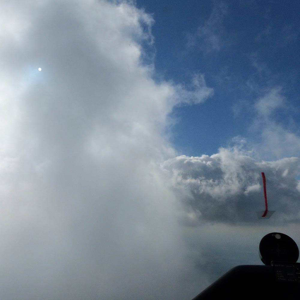
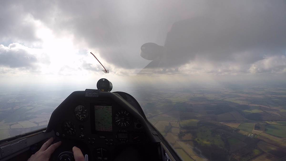
IMG_3905.jpg
IMG_3906.jpg
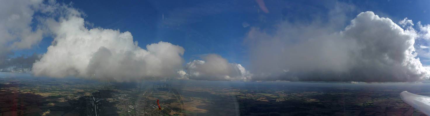
IMG_3907.jpg
Click here to return to the main Pictures index.
Click here to go to my 2016 diary.
Click here to go to the 2015 images.
Click here to go to the 2017 images.
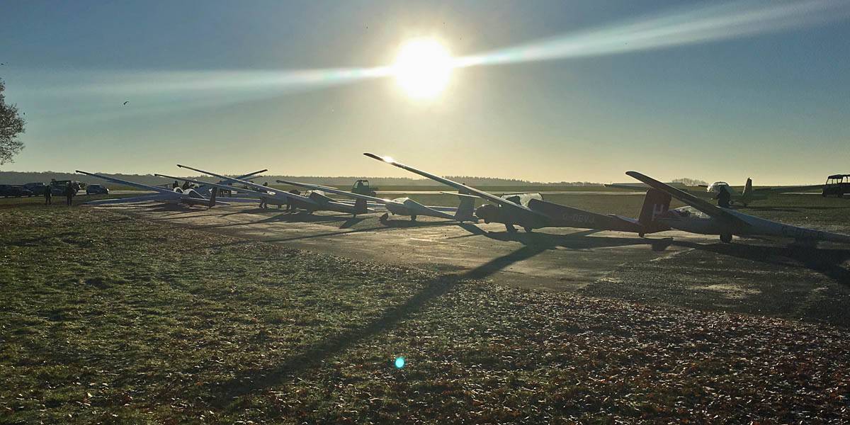
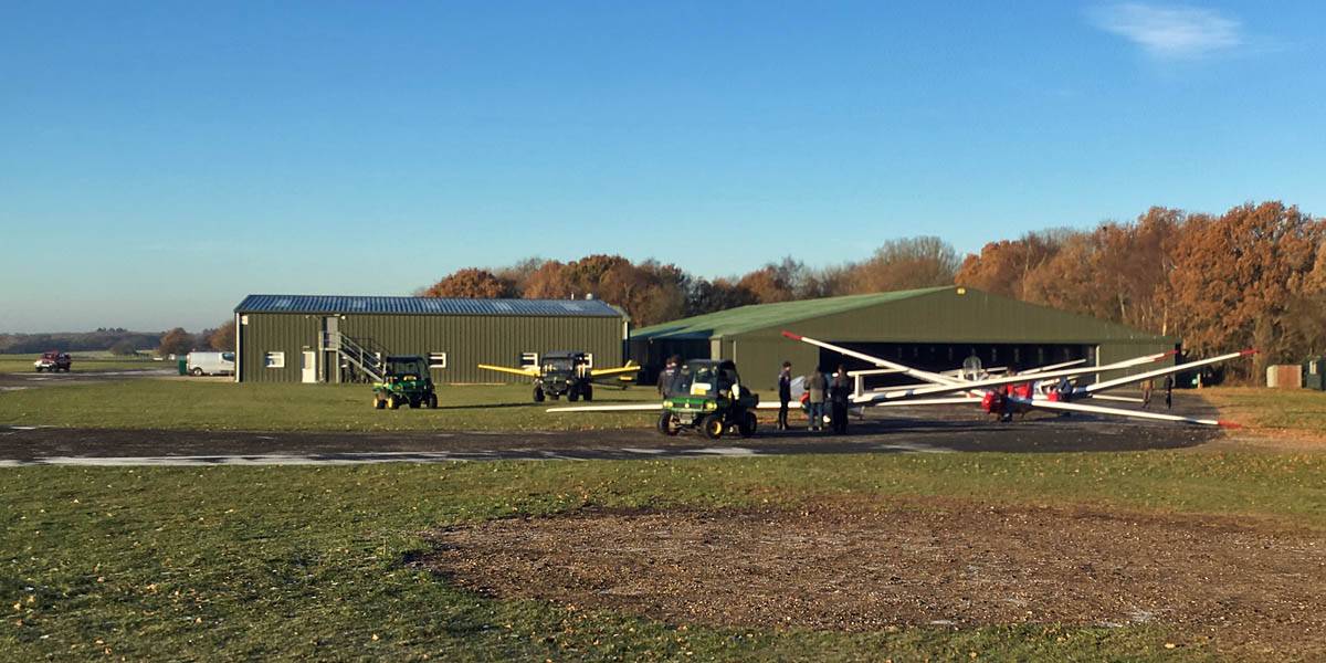
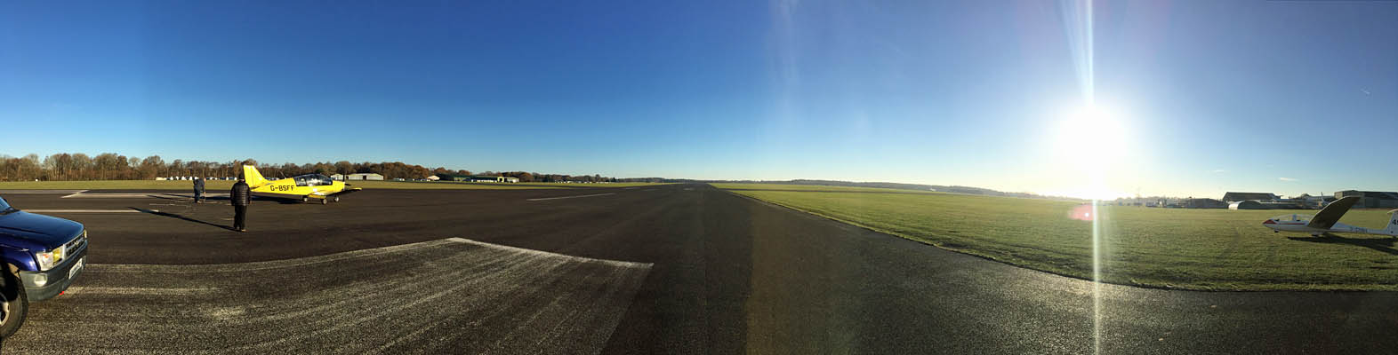
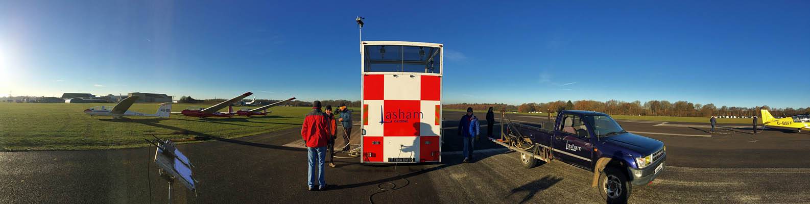
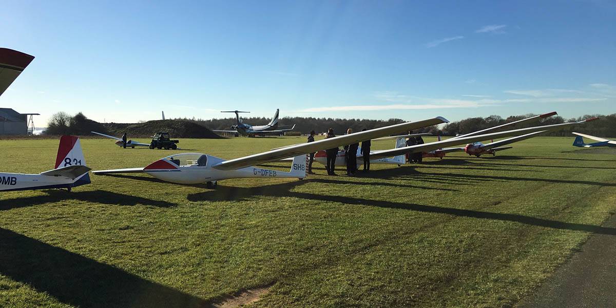
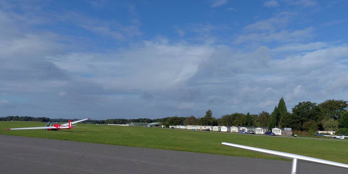
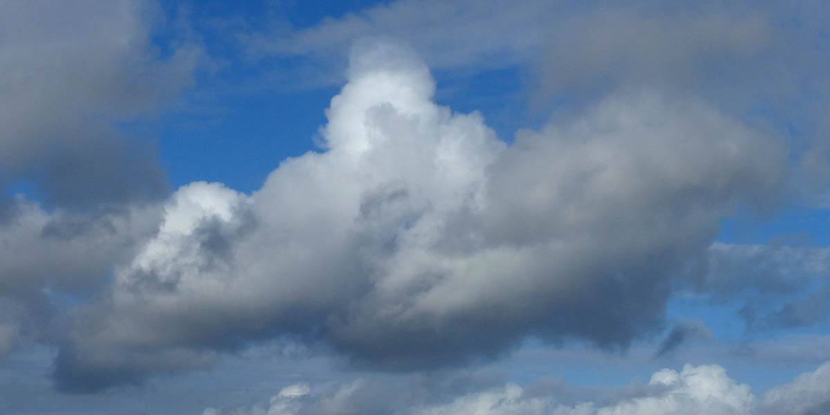
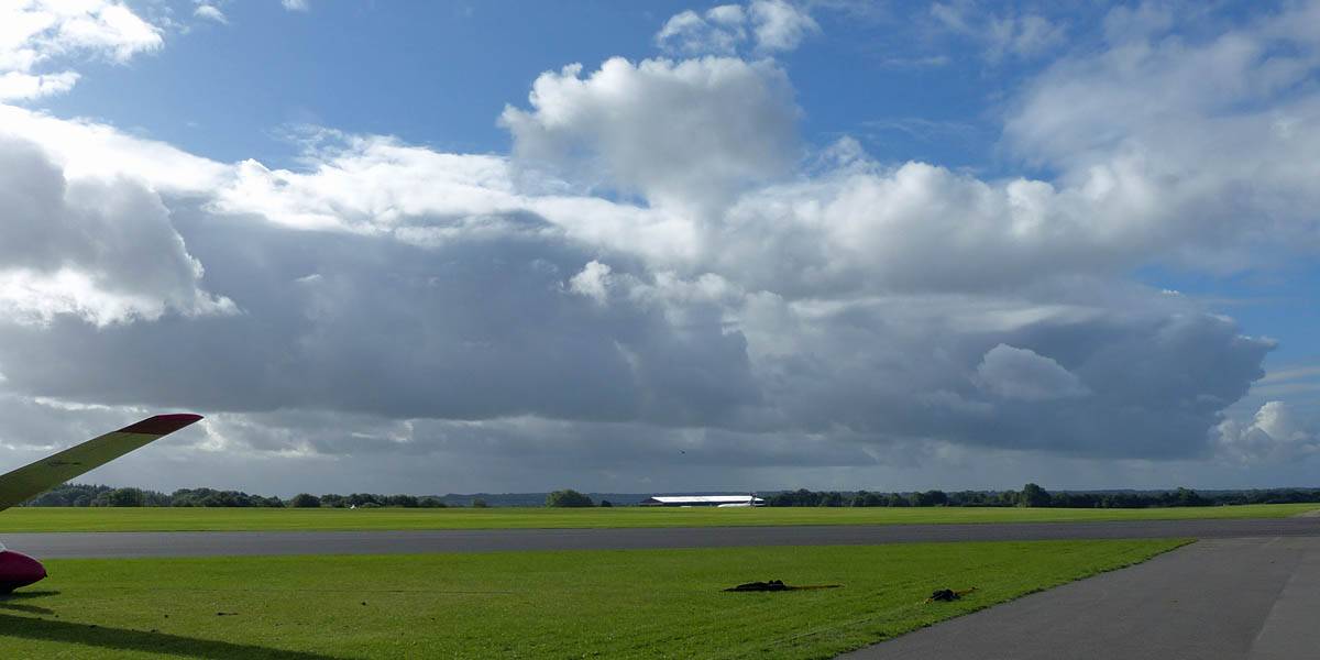
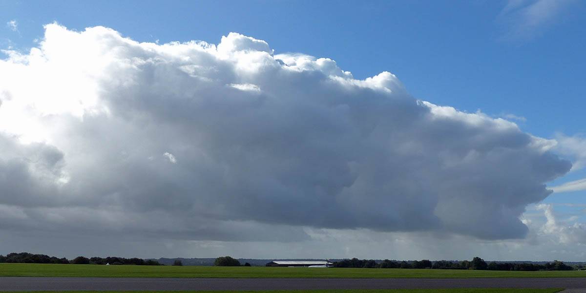
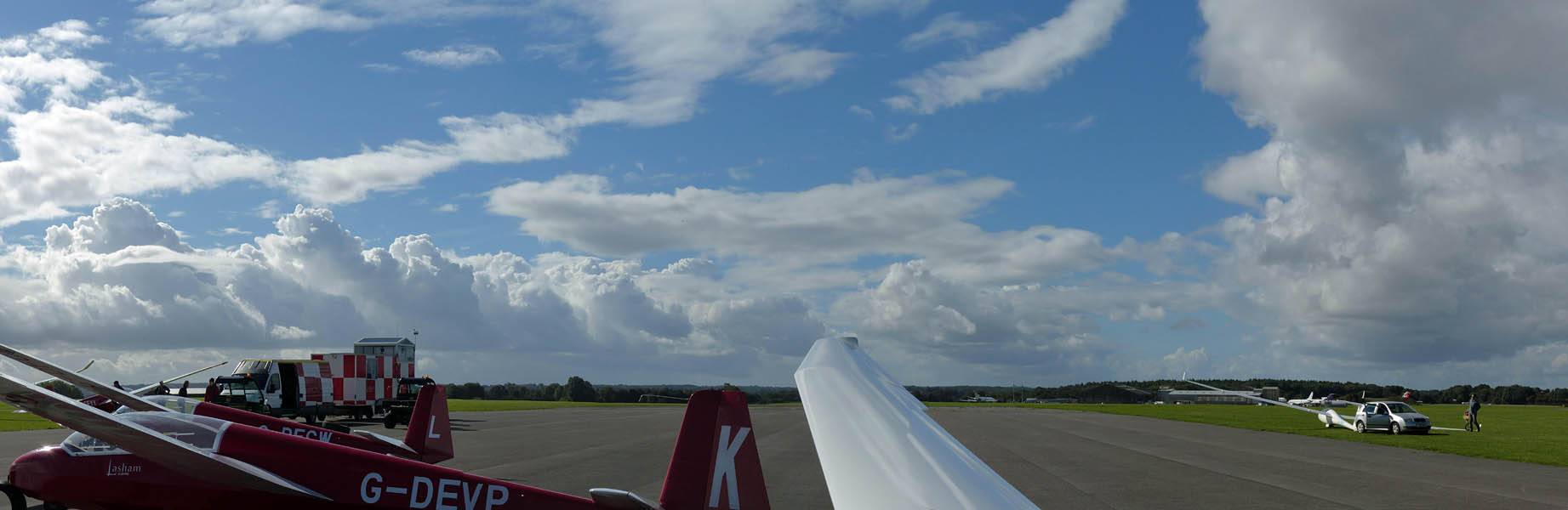
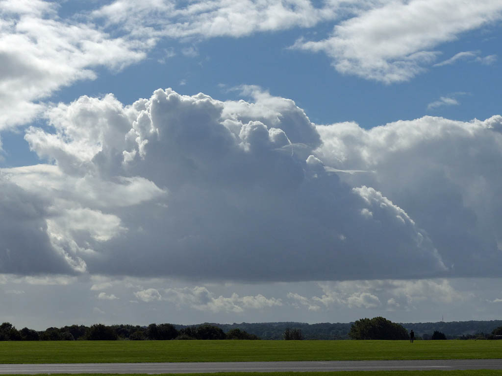
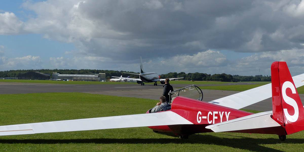
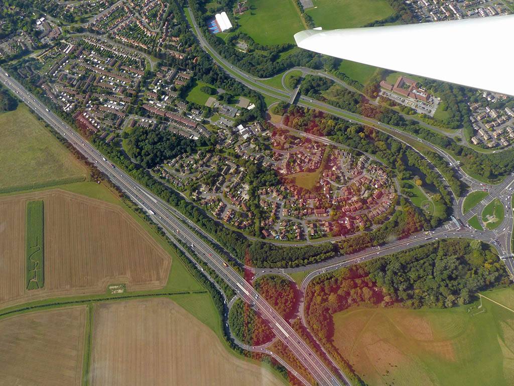
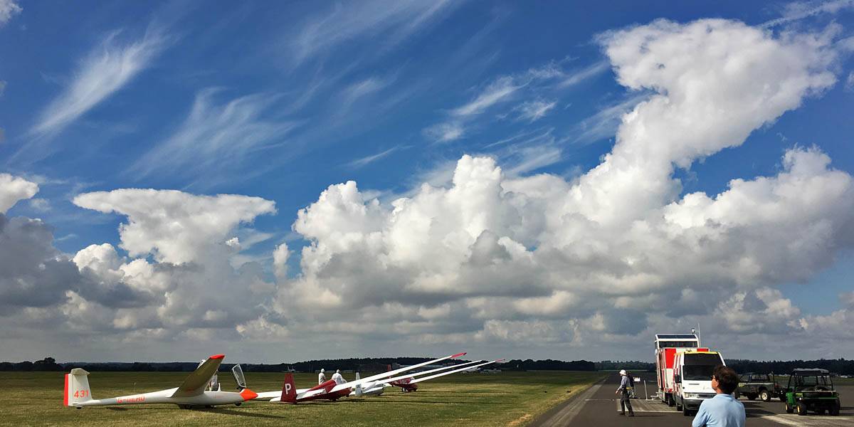
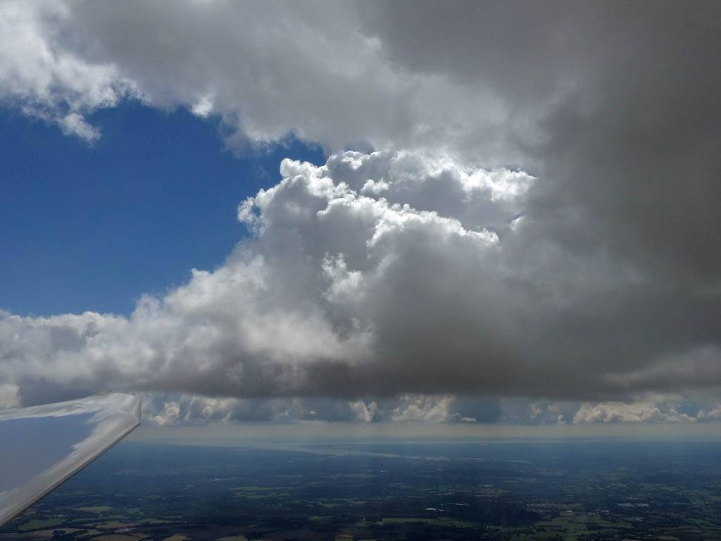
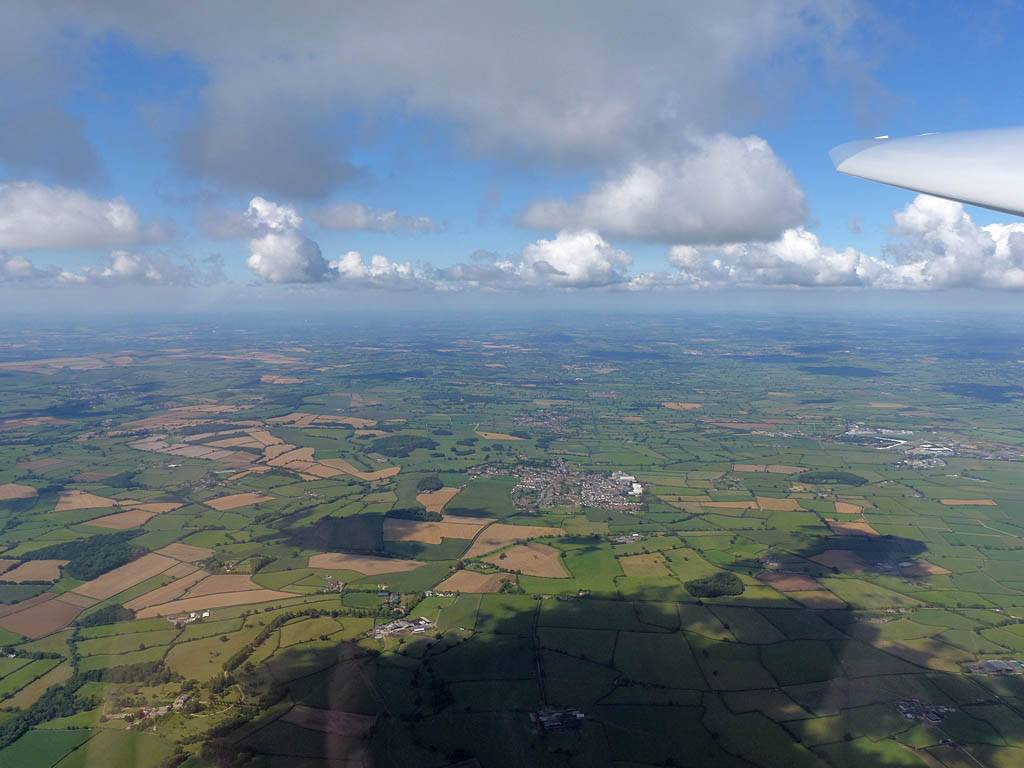
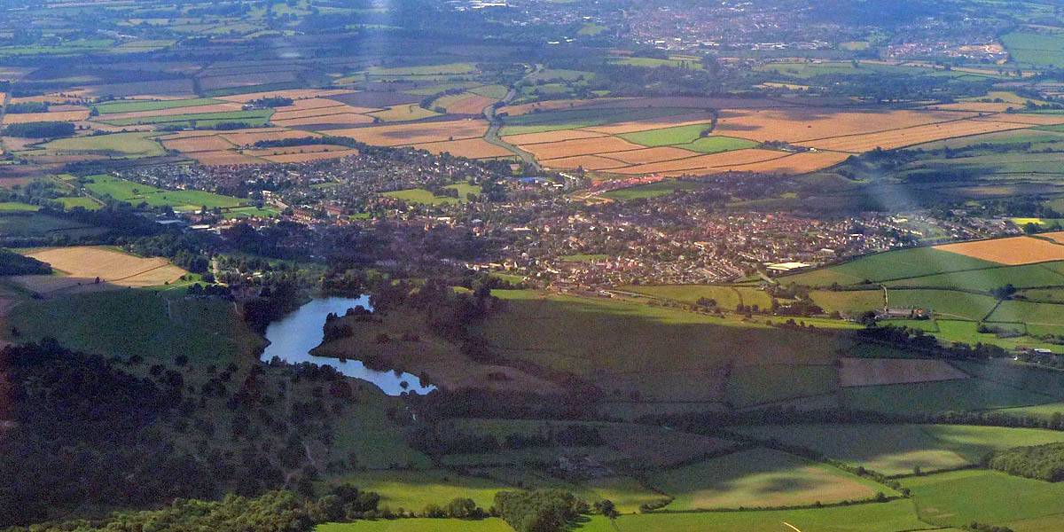
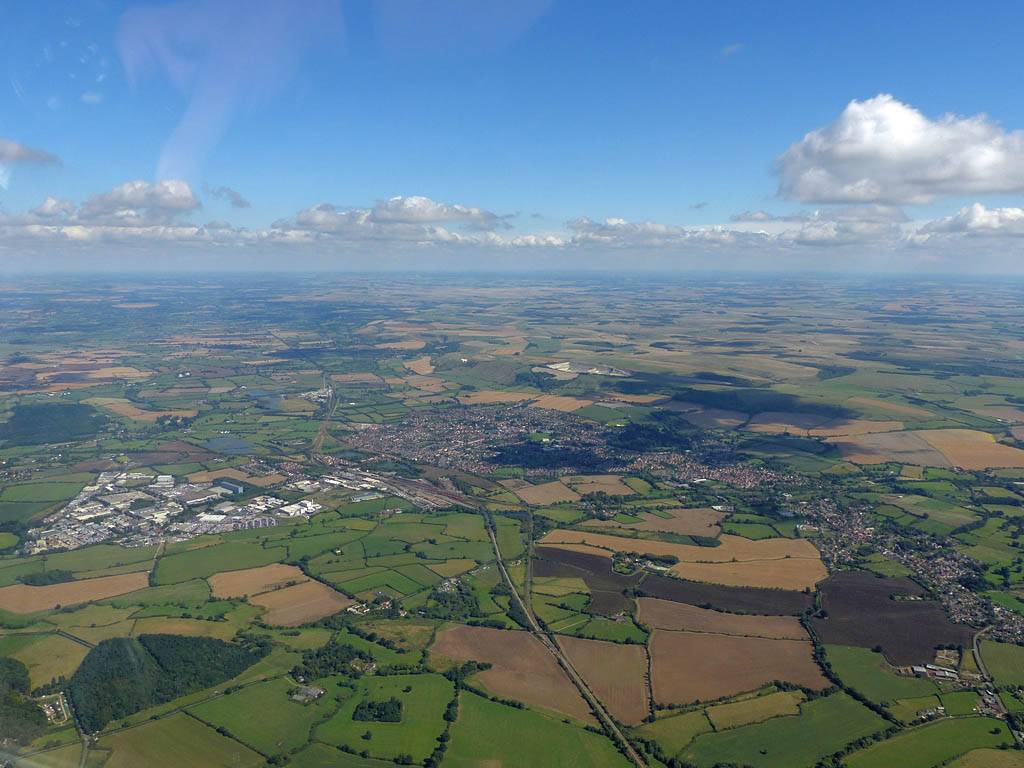
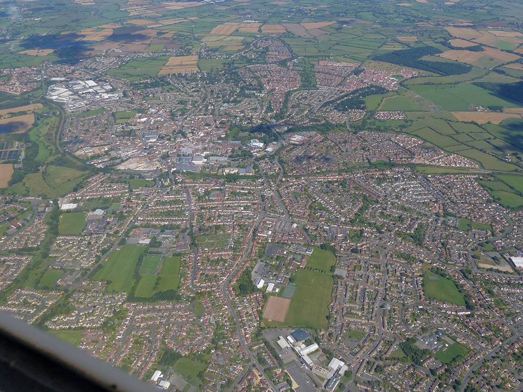
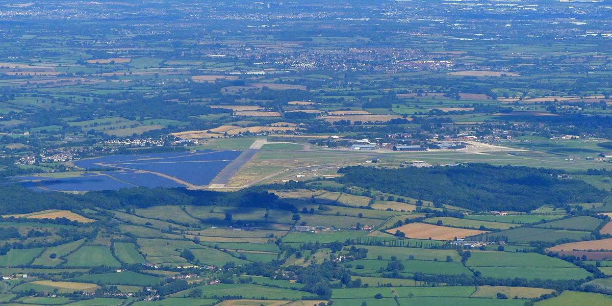
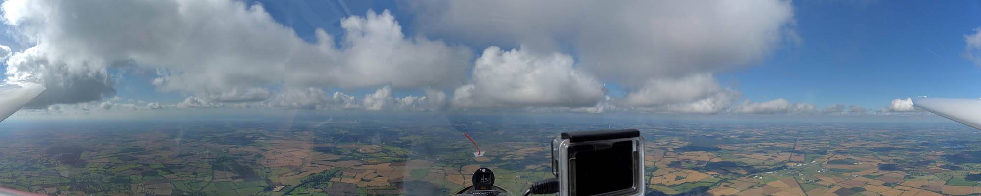
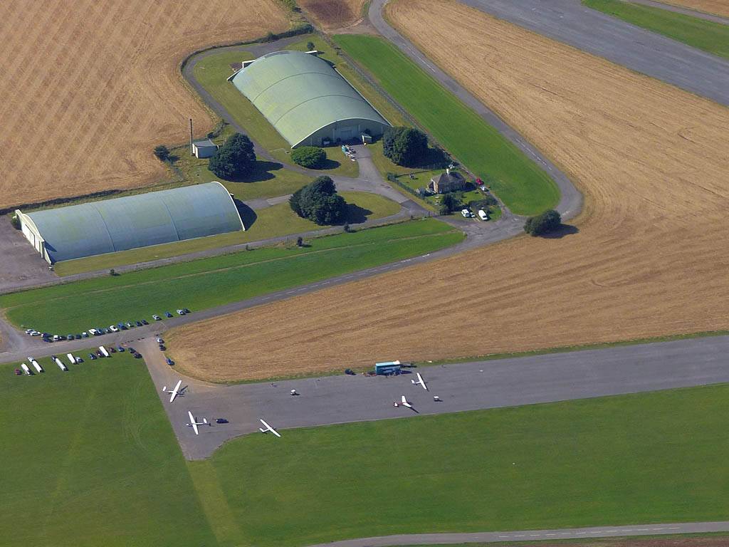
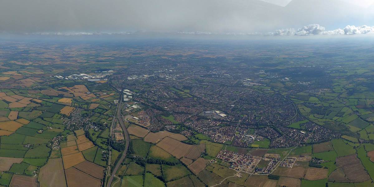
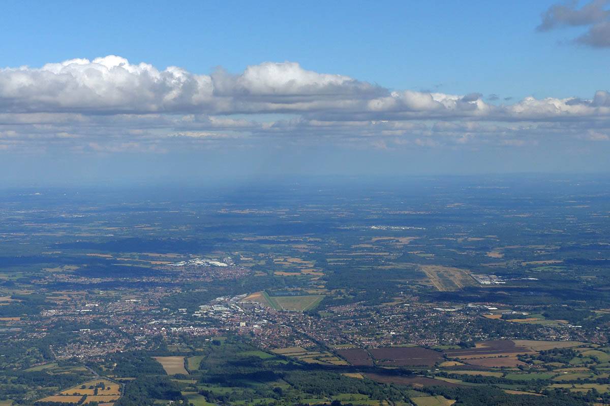
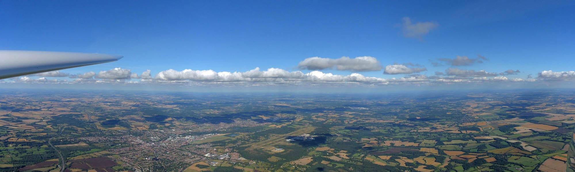
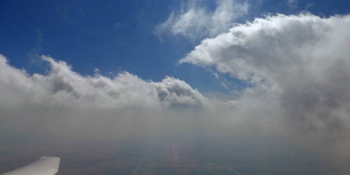
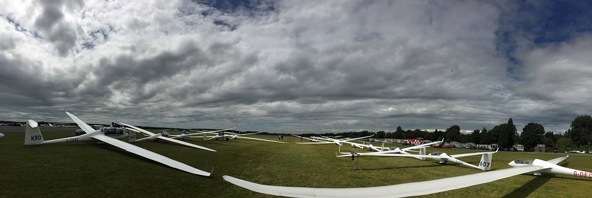
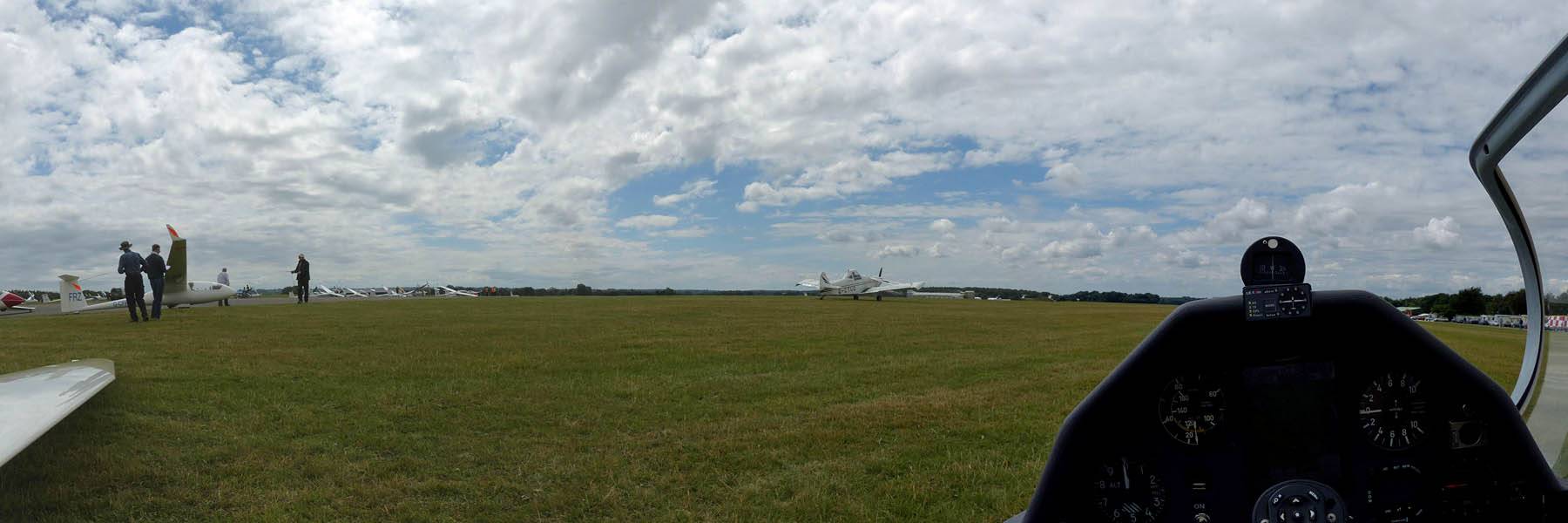
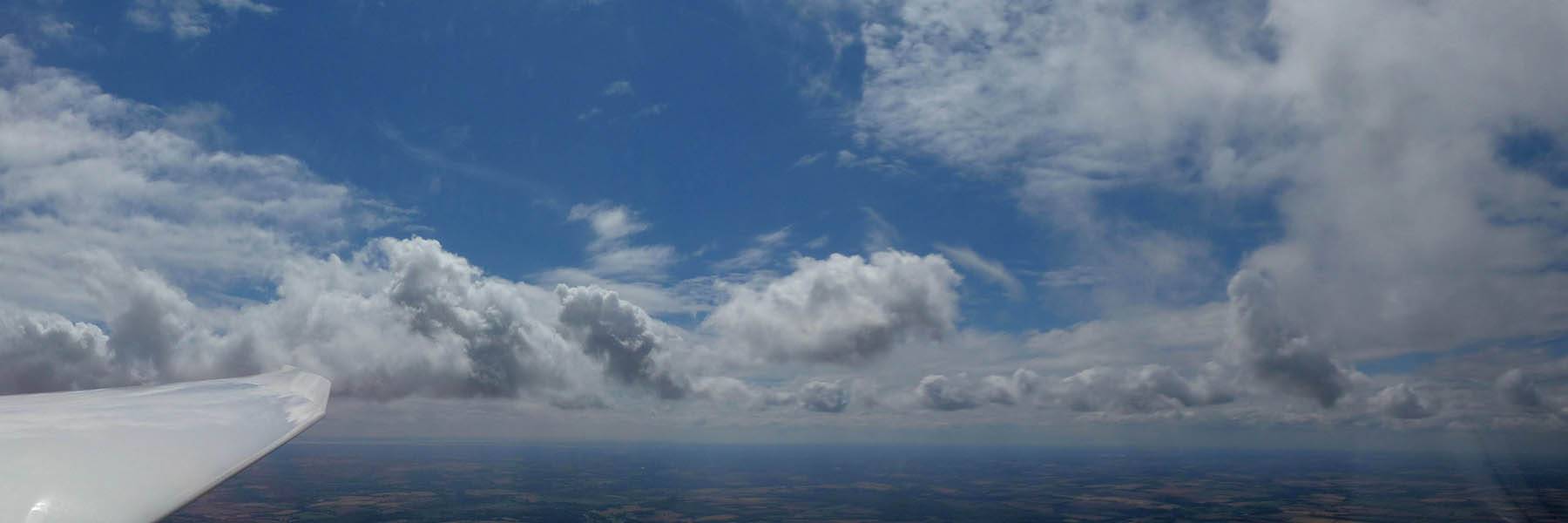
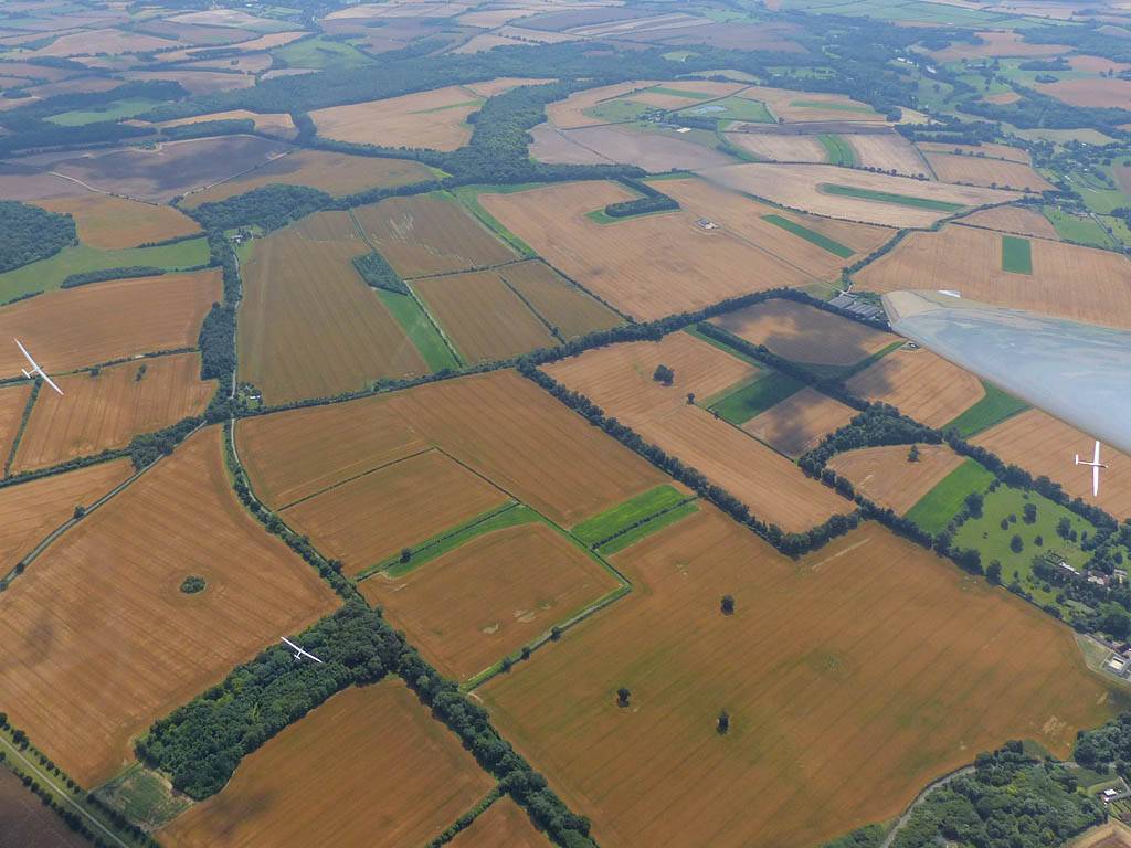
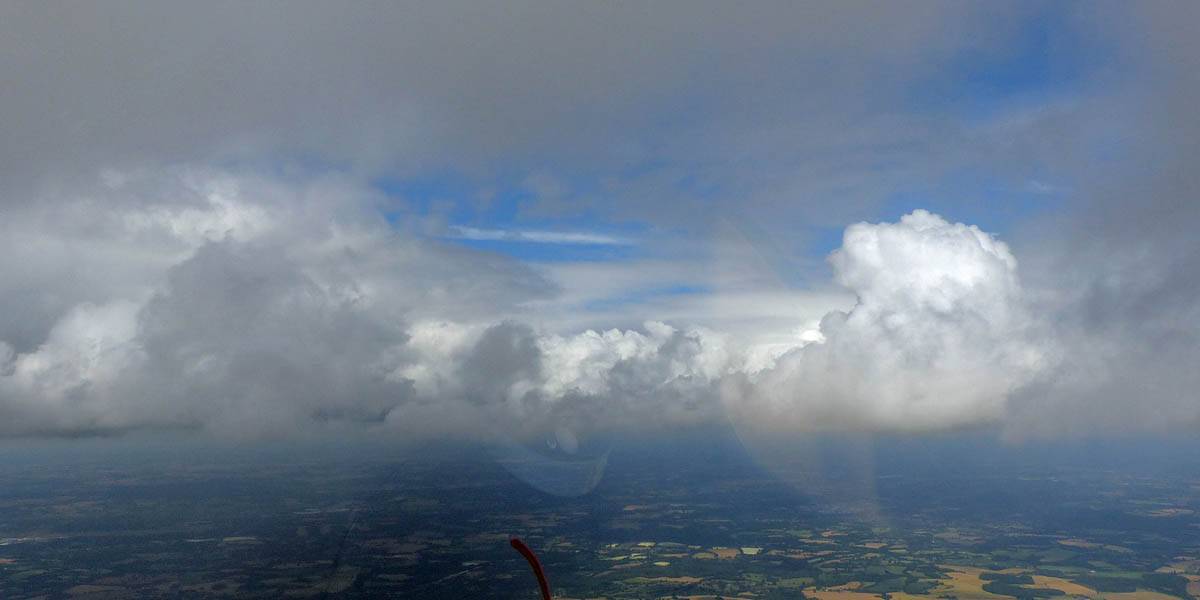
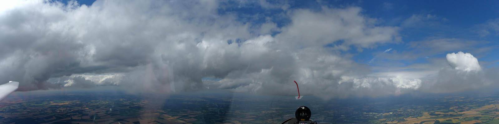
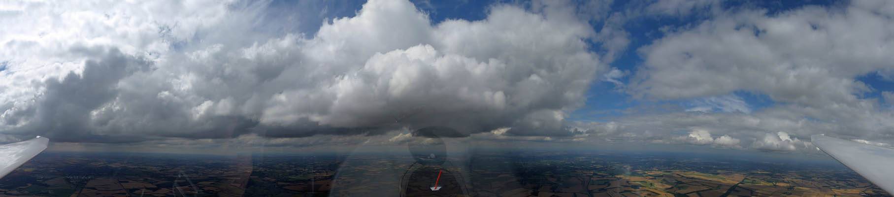
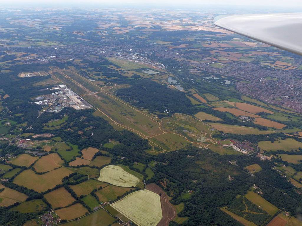
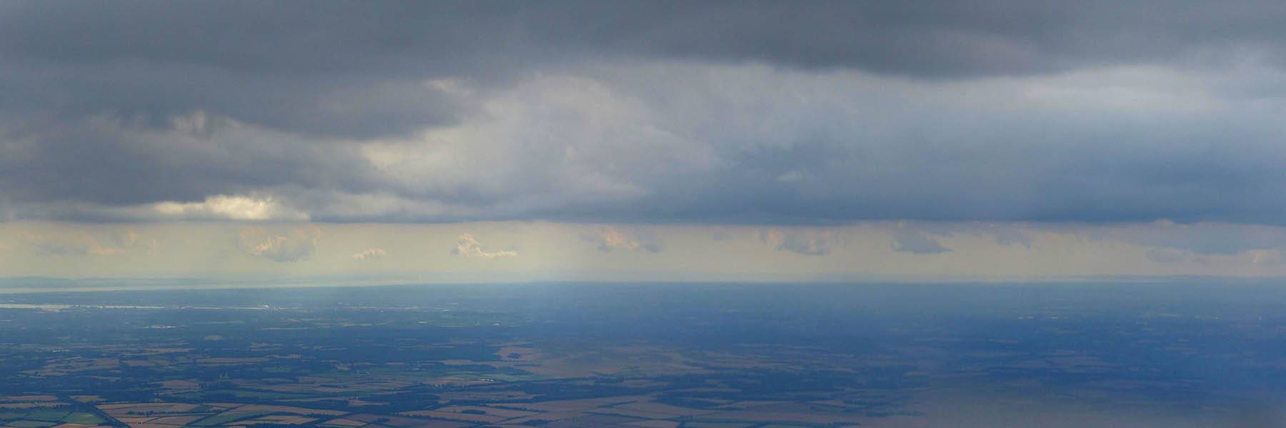
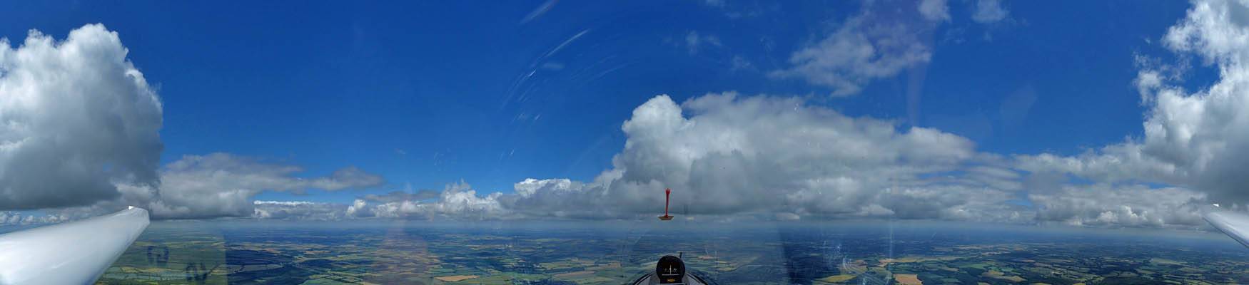
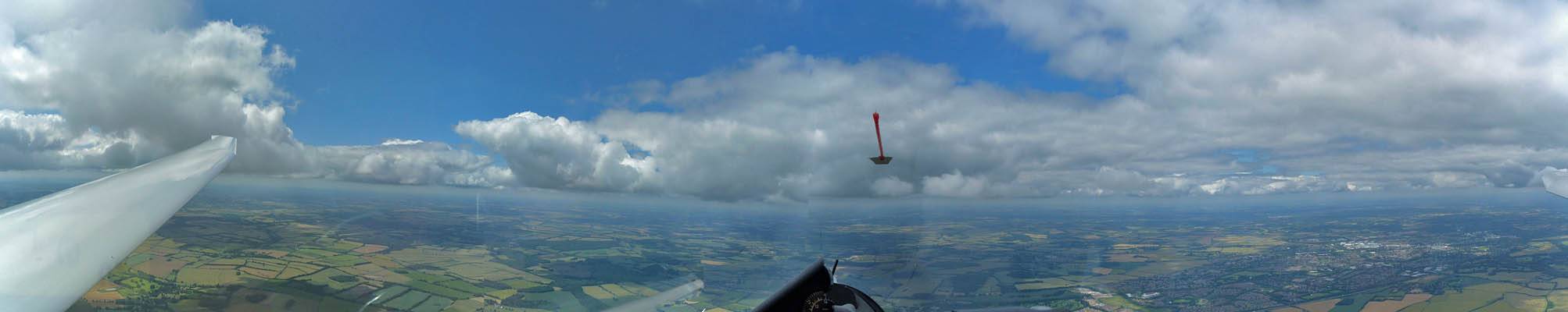
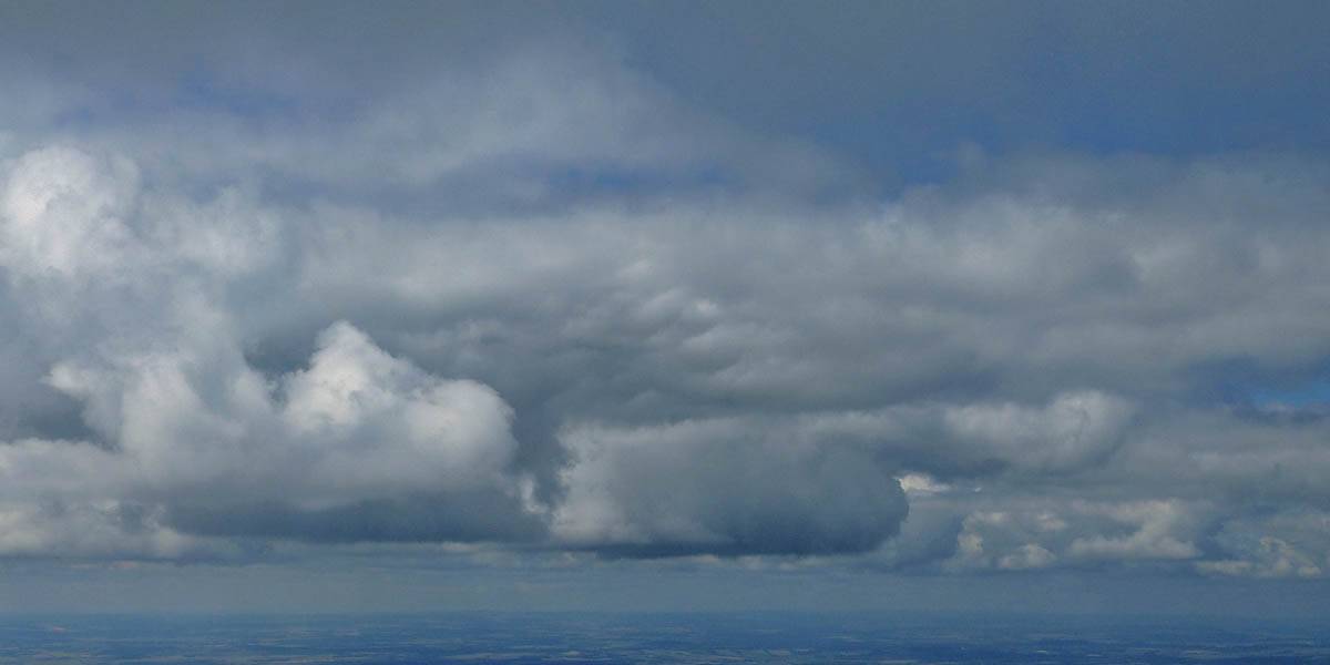
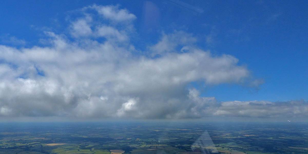
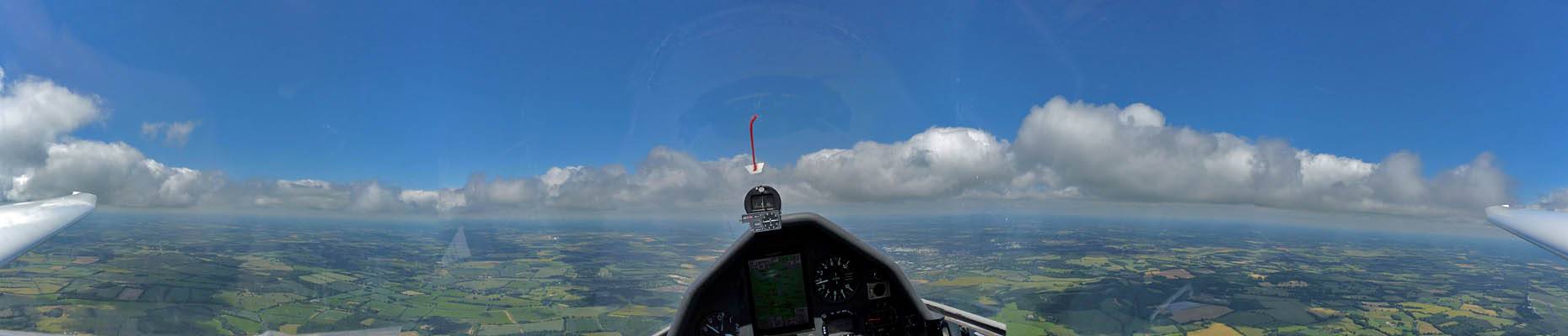
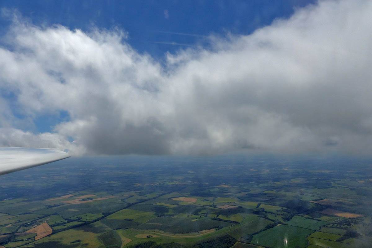
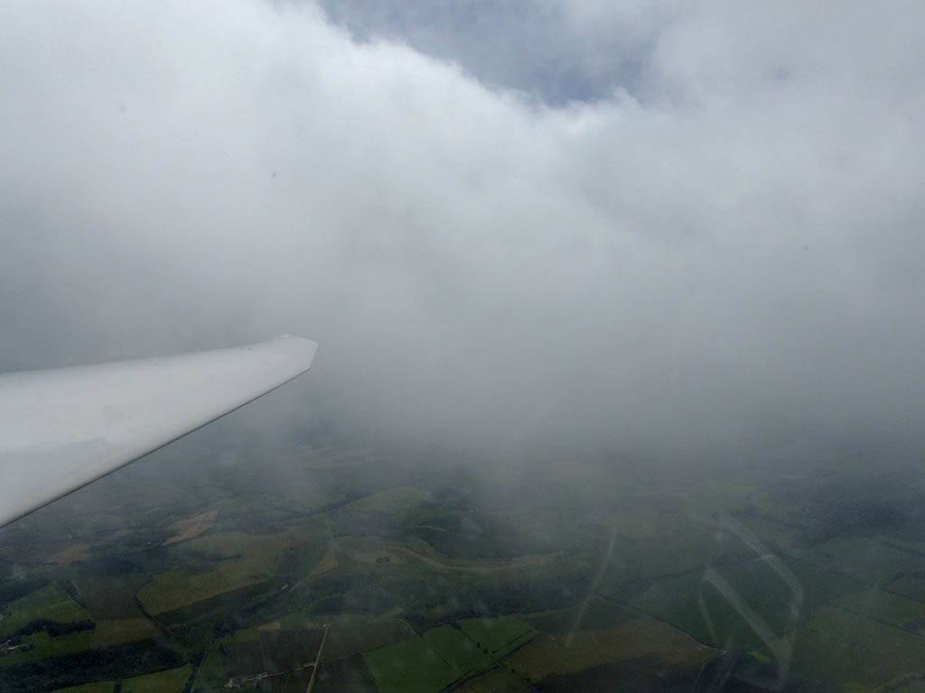
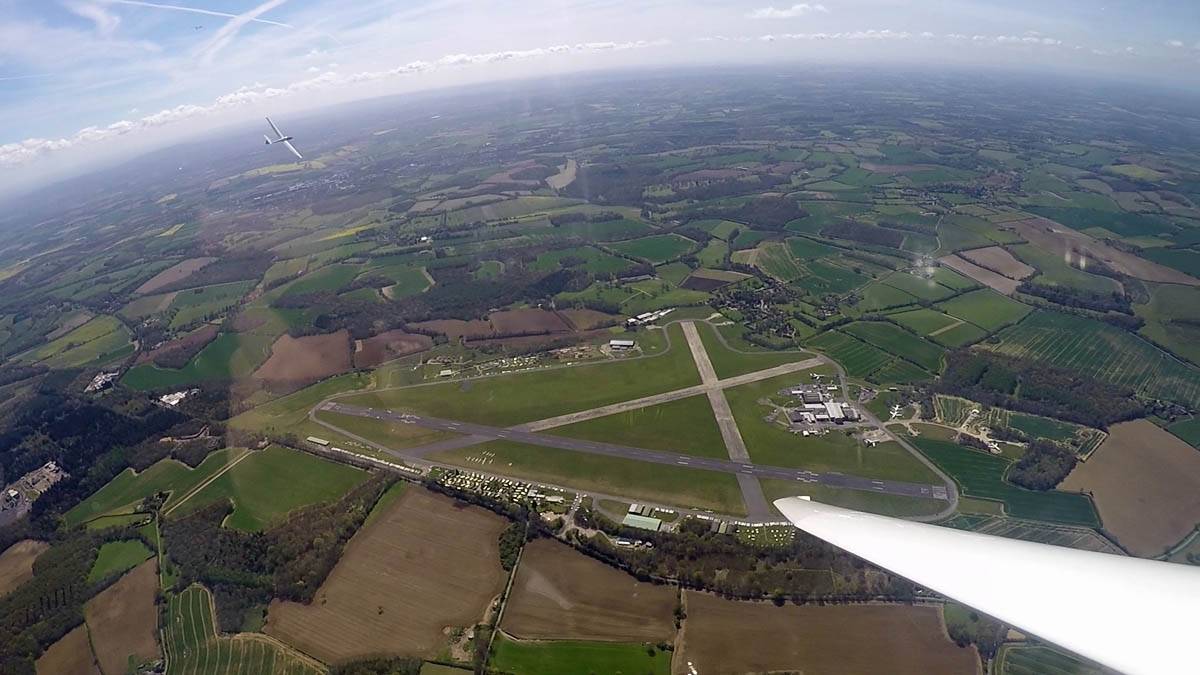
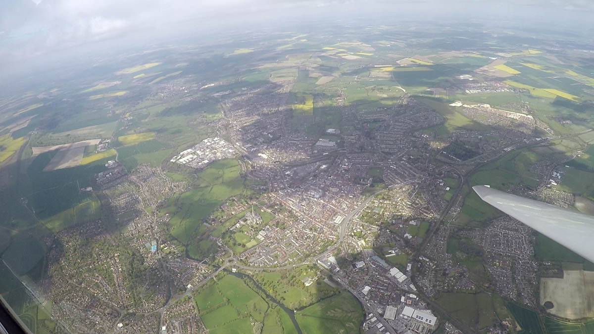
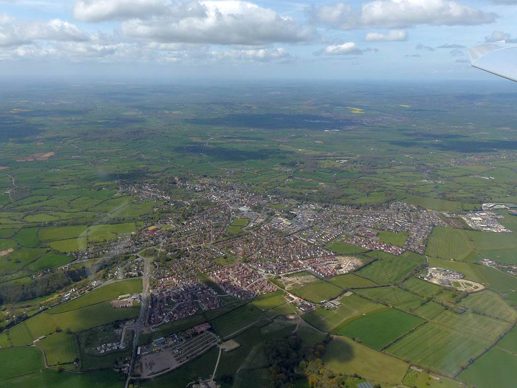
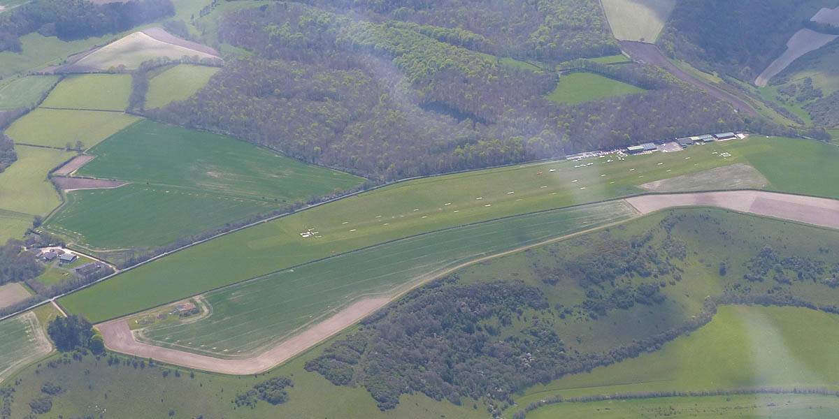
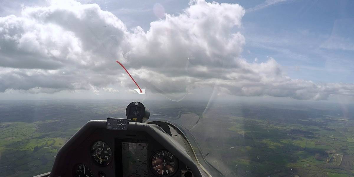
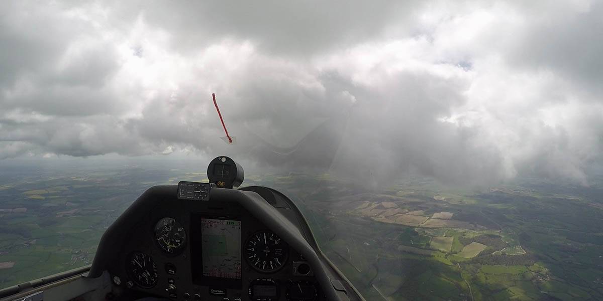
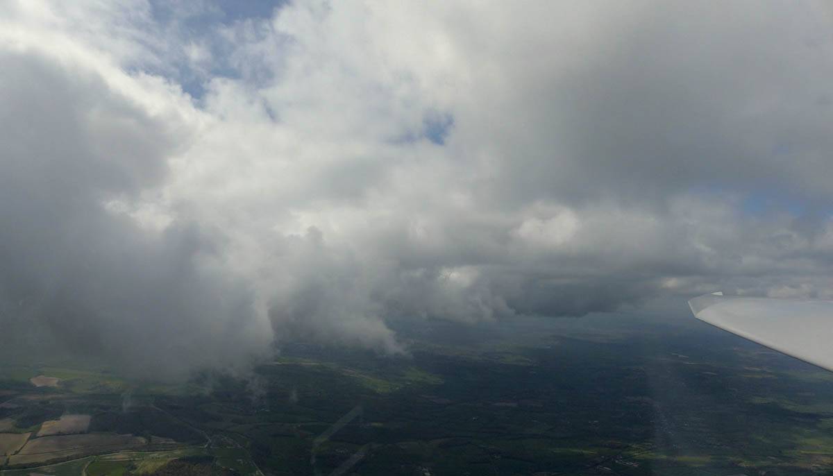
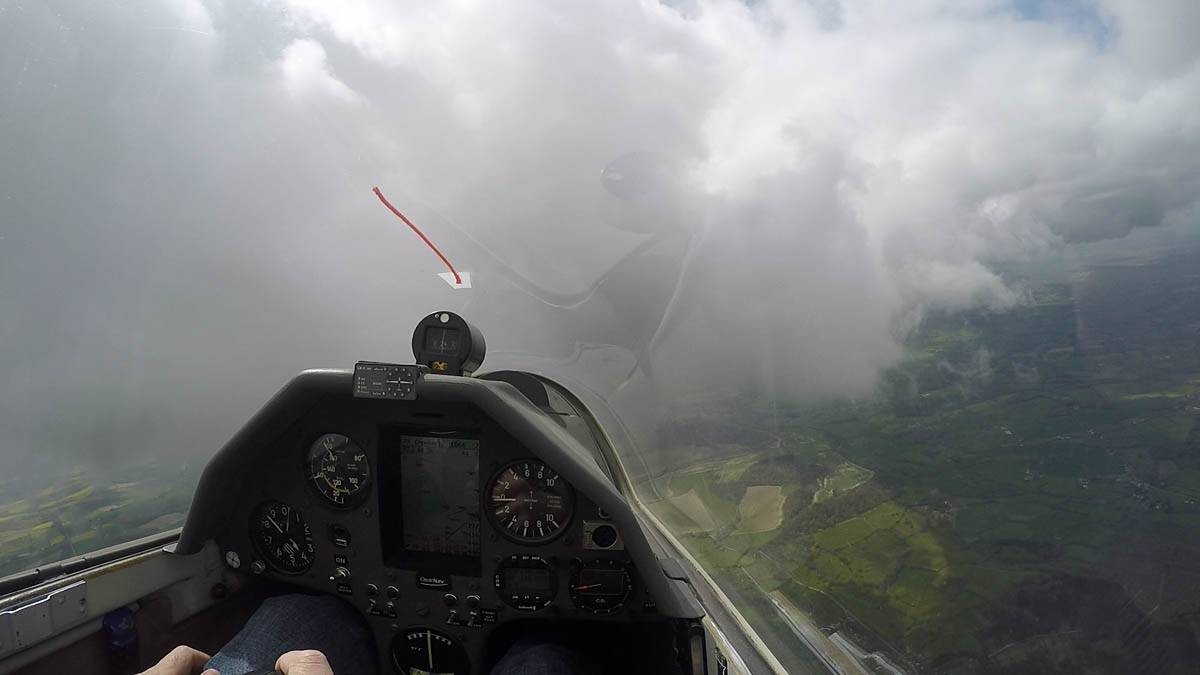
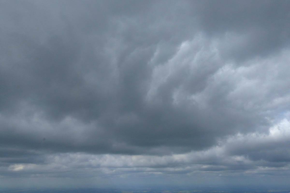
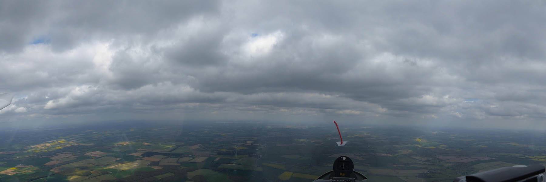
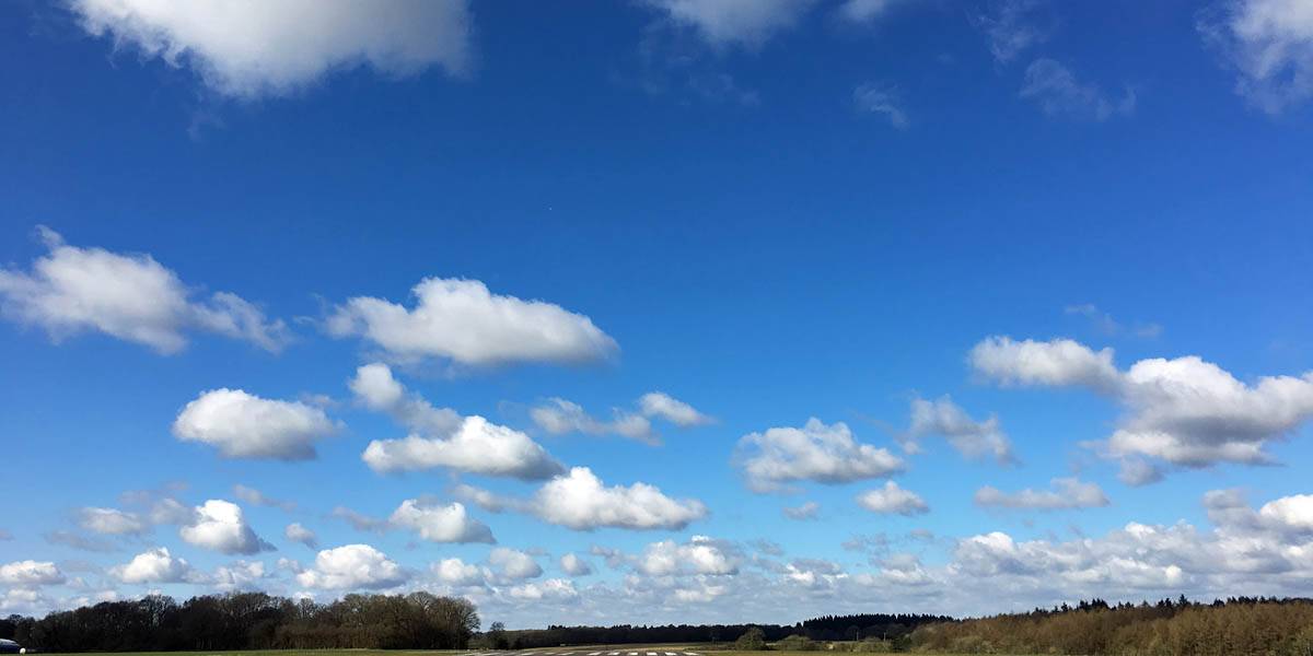
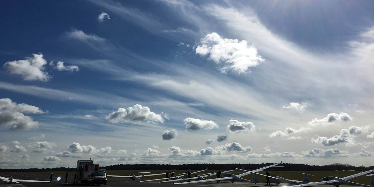
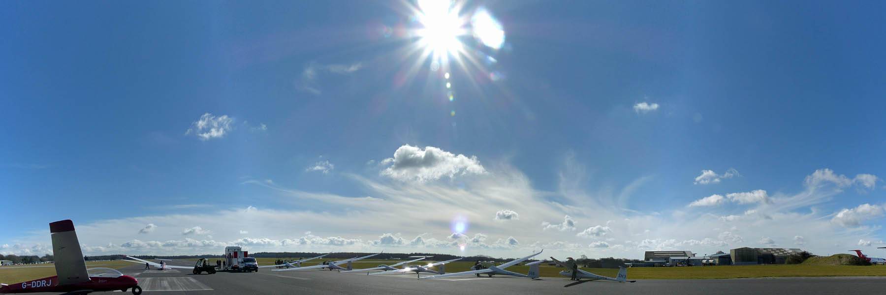
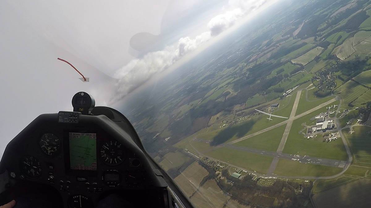
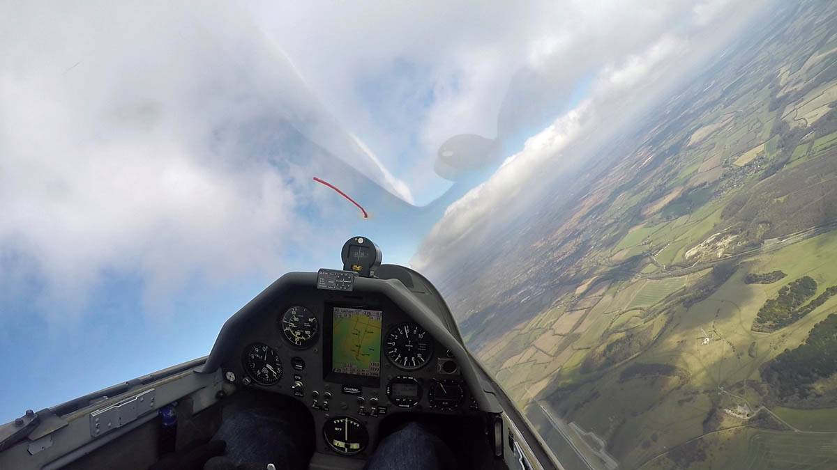
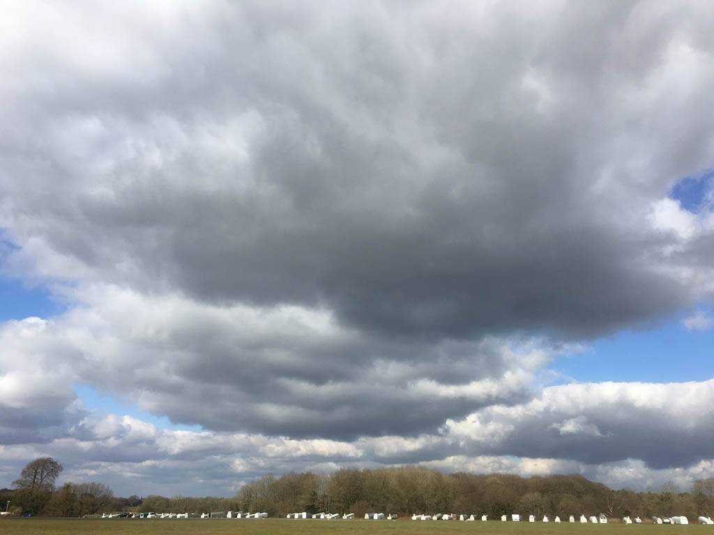
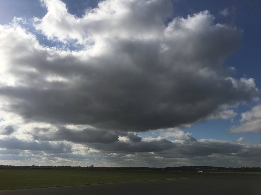
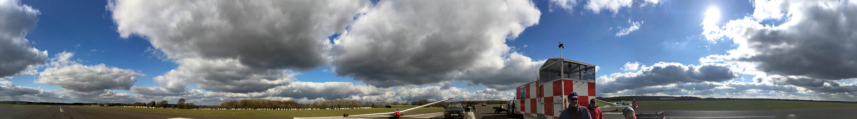
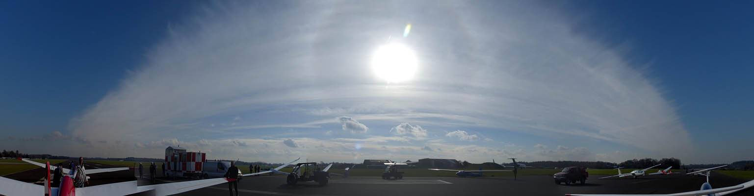
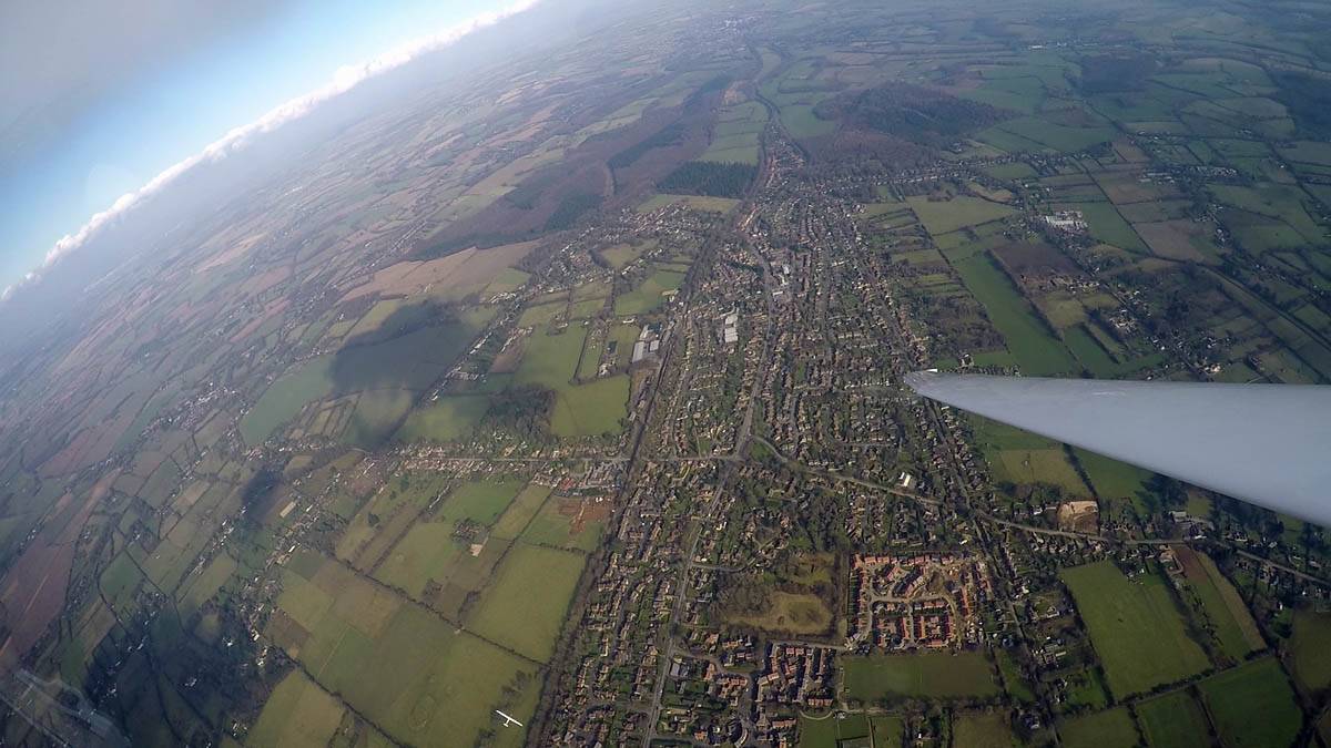
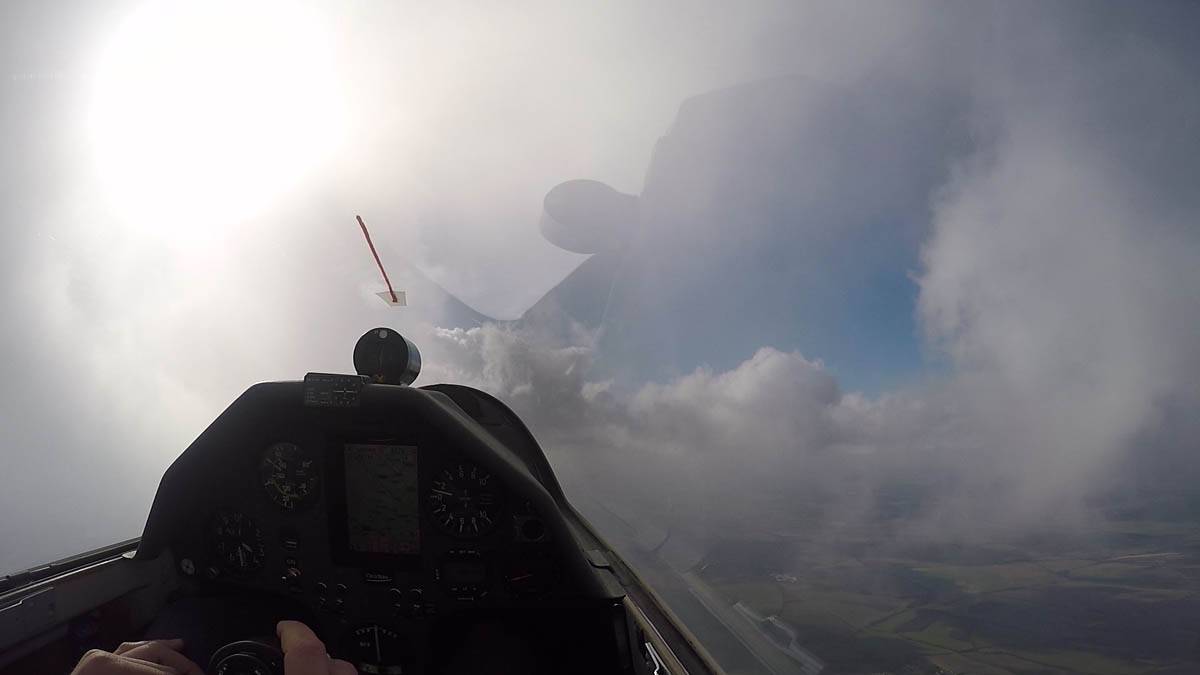
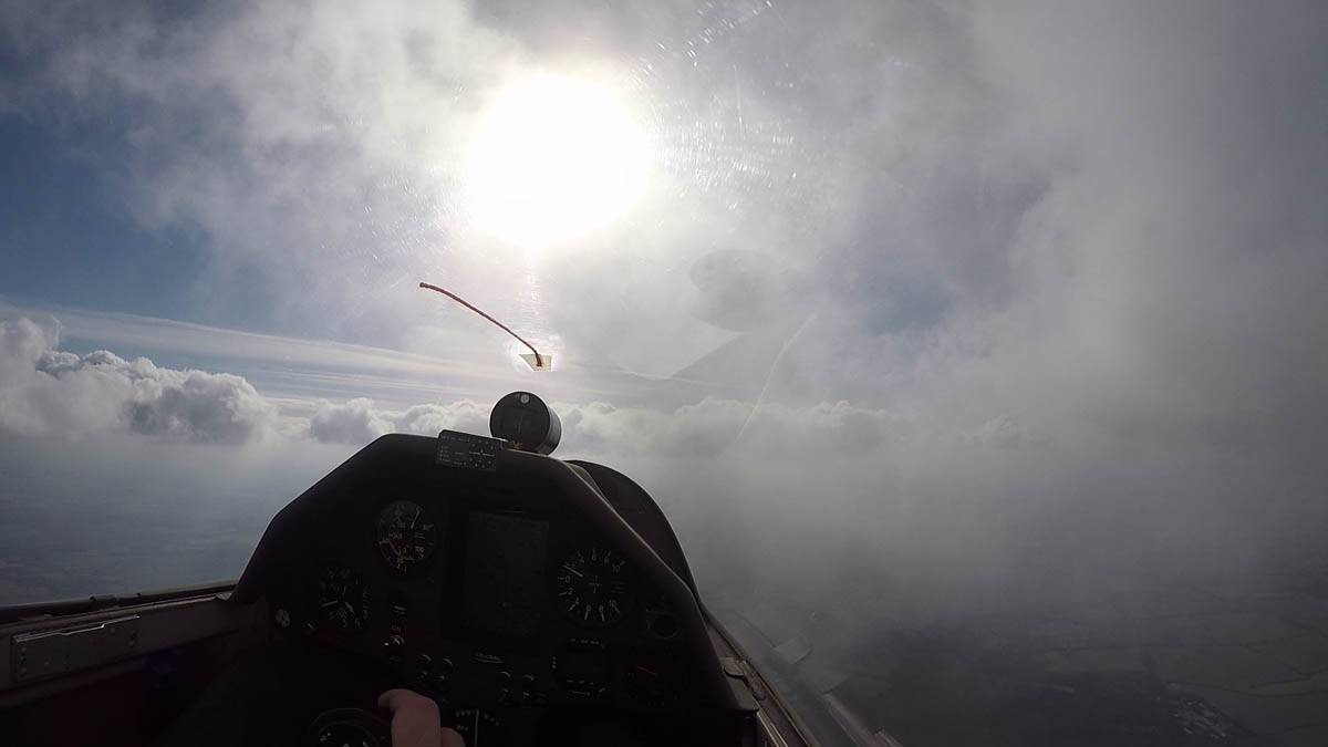
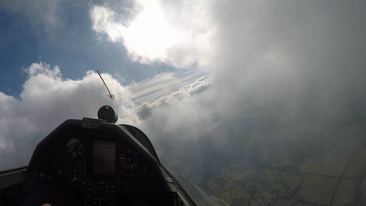
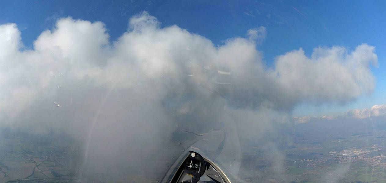
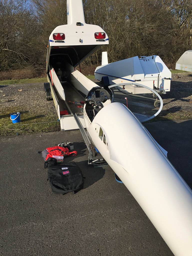
It was a frosty start. I had a check flight first before going up in a Grob 102. There was a challenging wind gradient today with a sudden increase in the wind speed at around 1000 feet. That made for a more entertaining than usual winter practice.
|
IMG_3902.jpg |
IMG_3903.jpg |
IMG_3904.jpg |
IMG_3905.jpg |
IMG_3906.jpg |
IMG_3907.jpg |
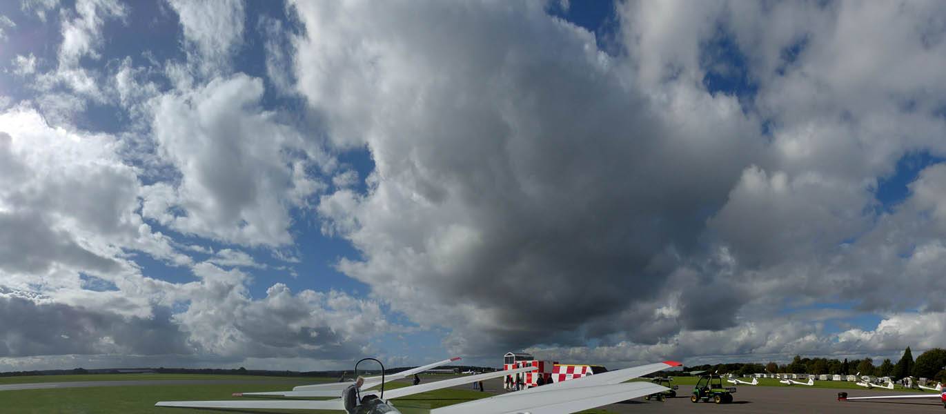
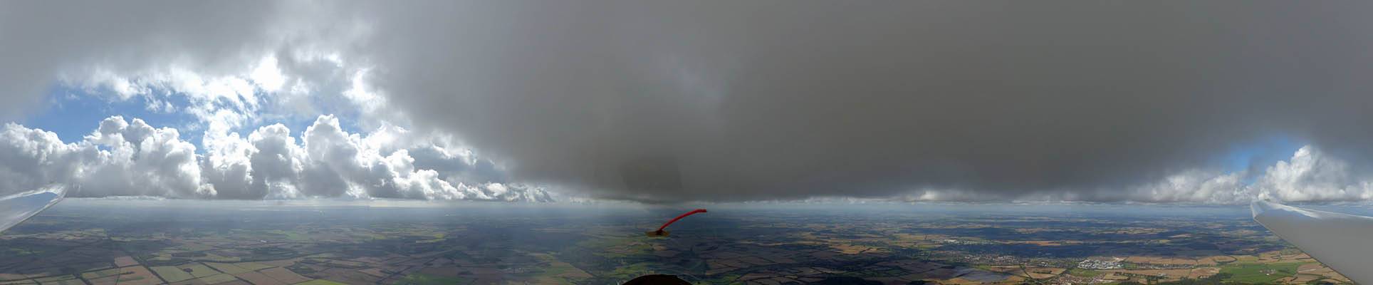
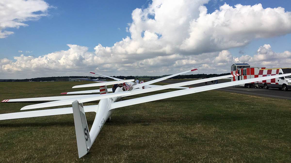
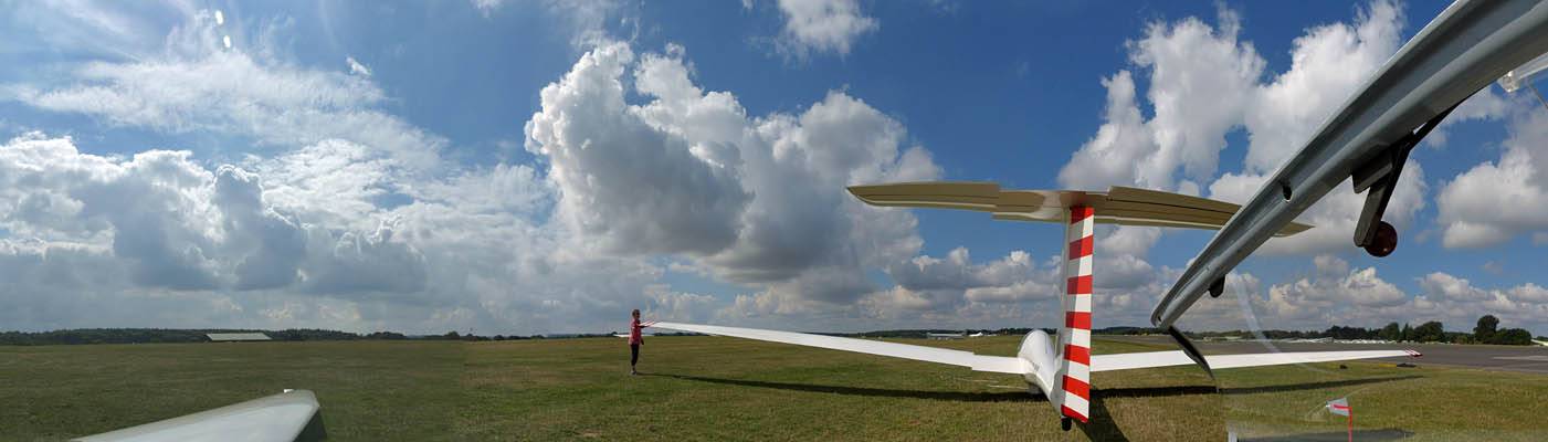
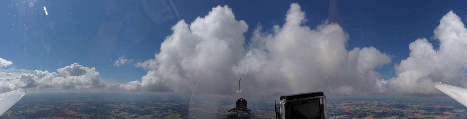
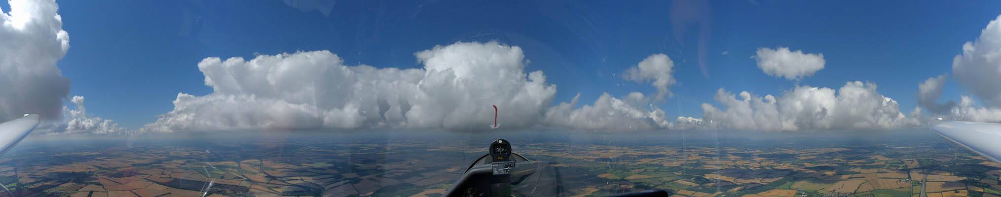
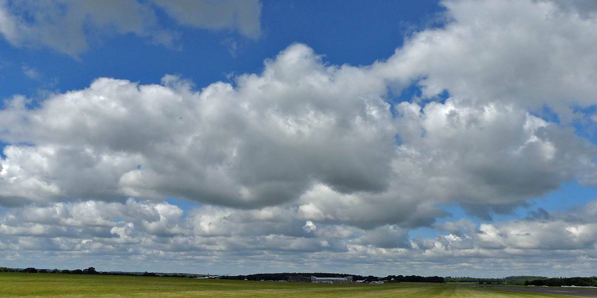
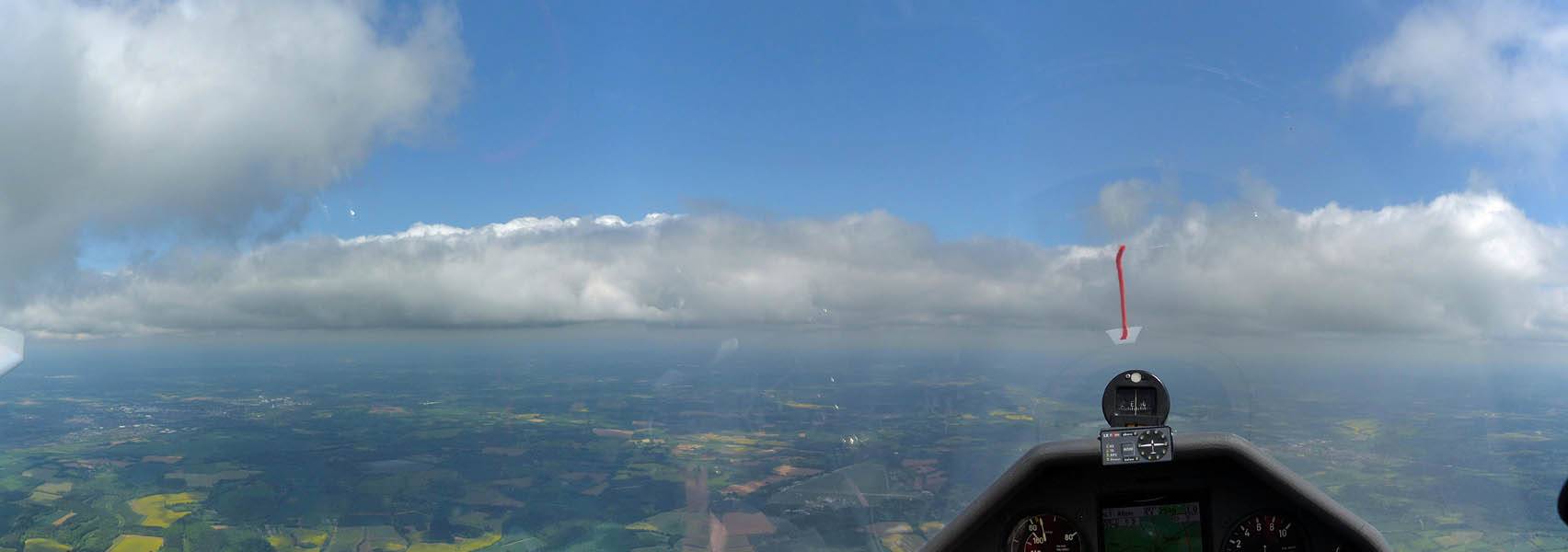
| A frosty start as we pull the gliders out of the hangar. | Two iPhone panoramas at the launch point looking West and East on runway 09. | Grob 102 SH8 in the winch queue before I fly it. | |||
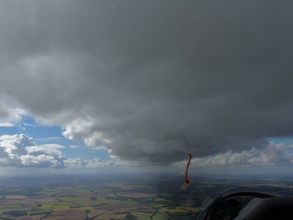
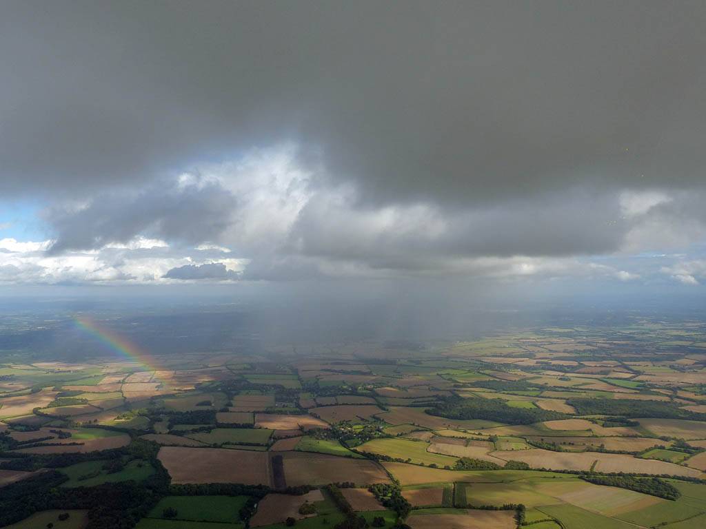
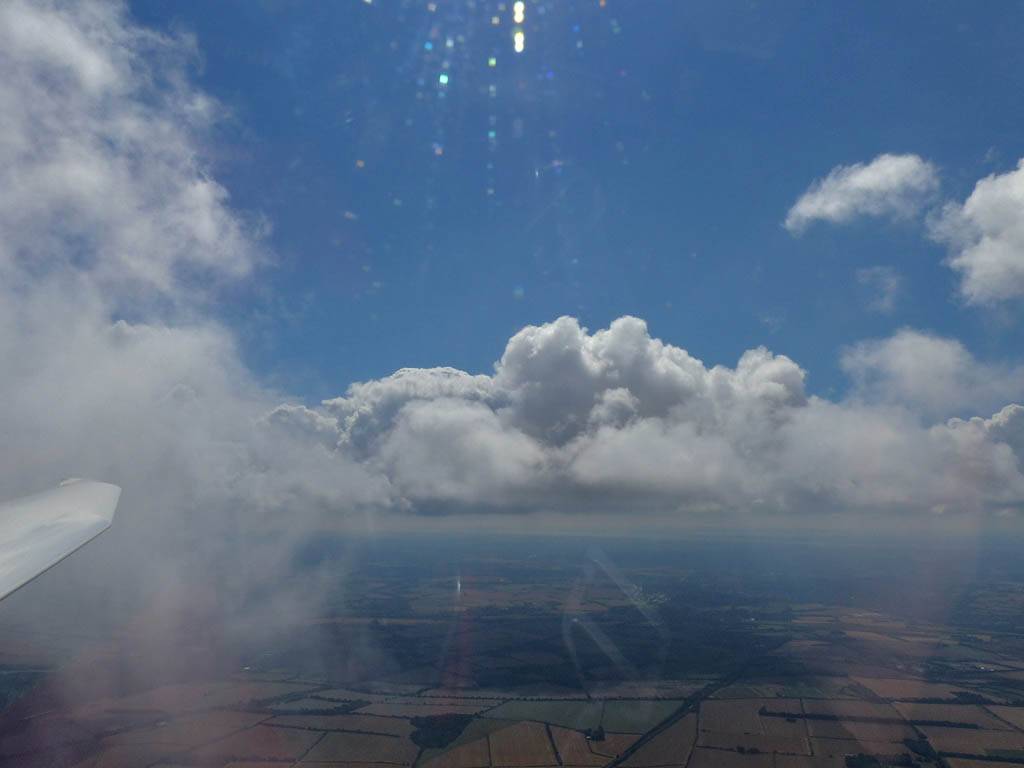
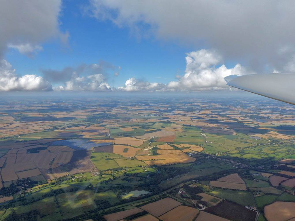
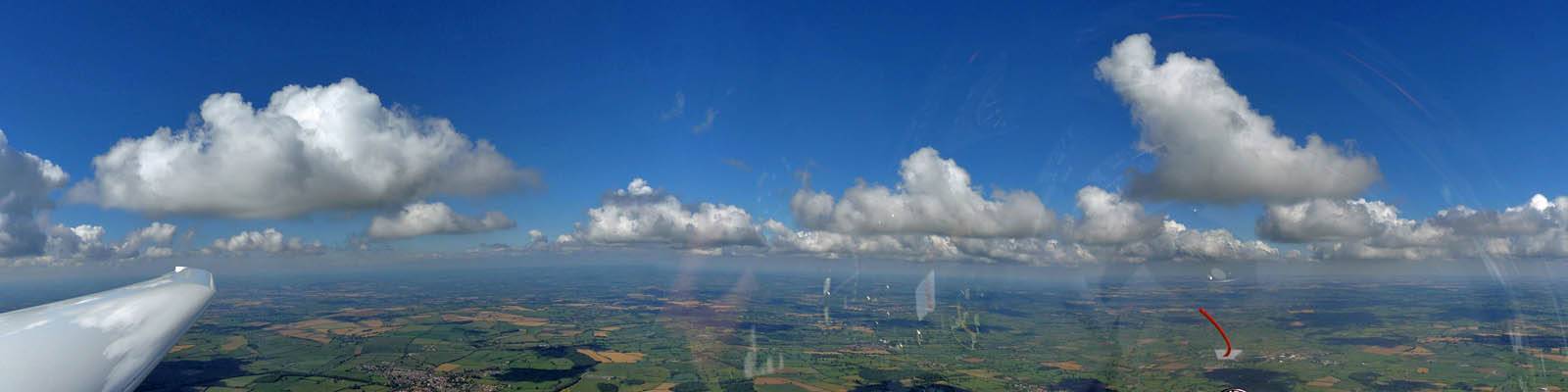
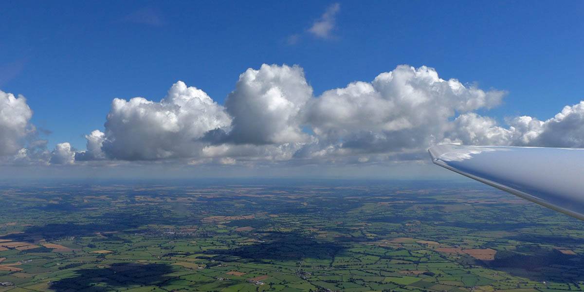
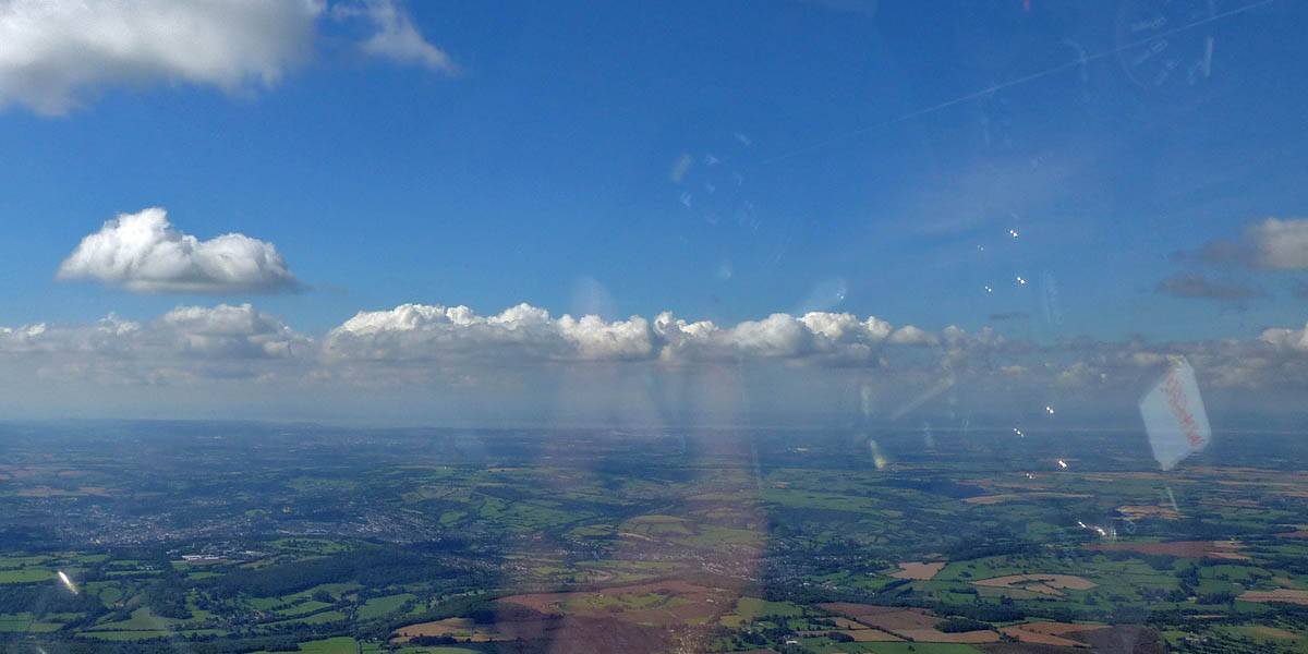
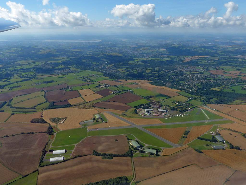
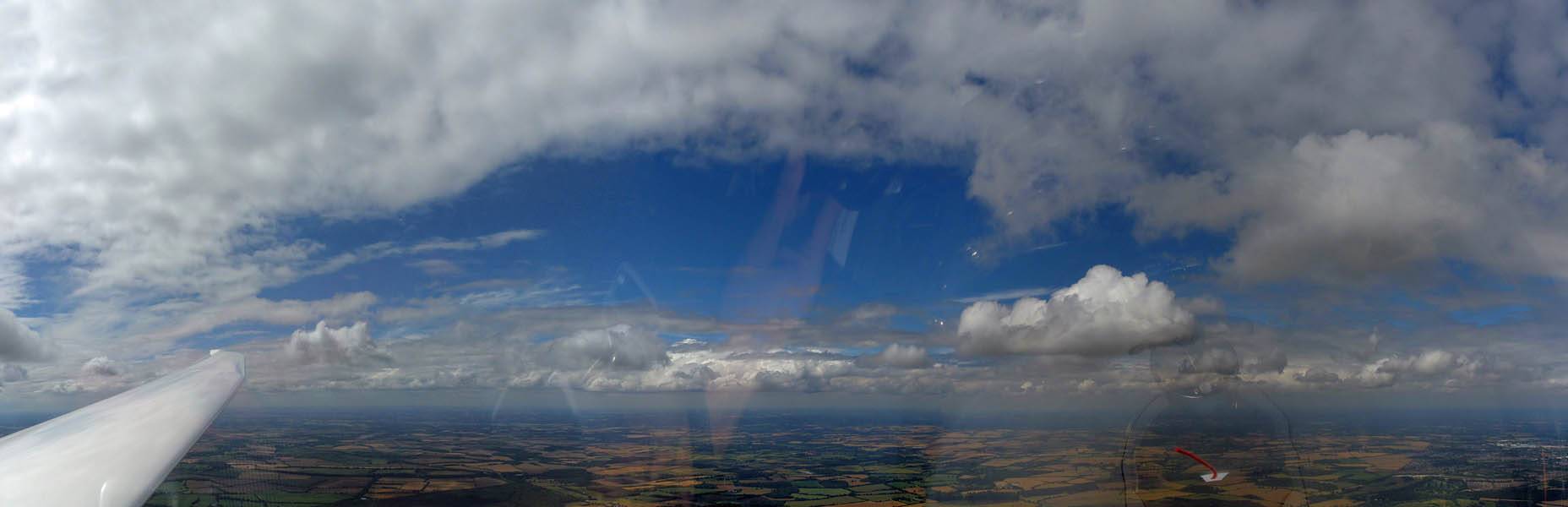
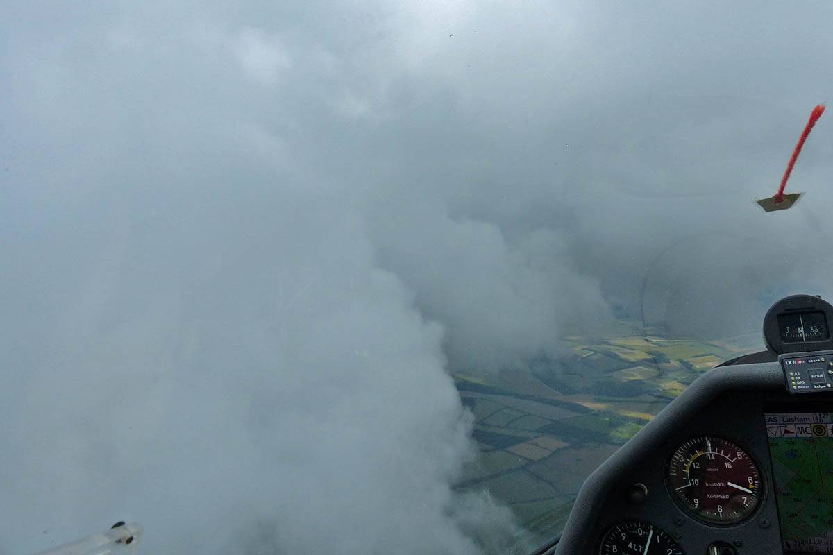
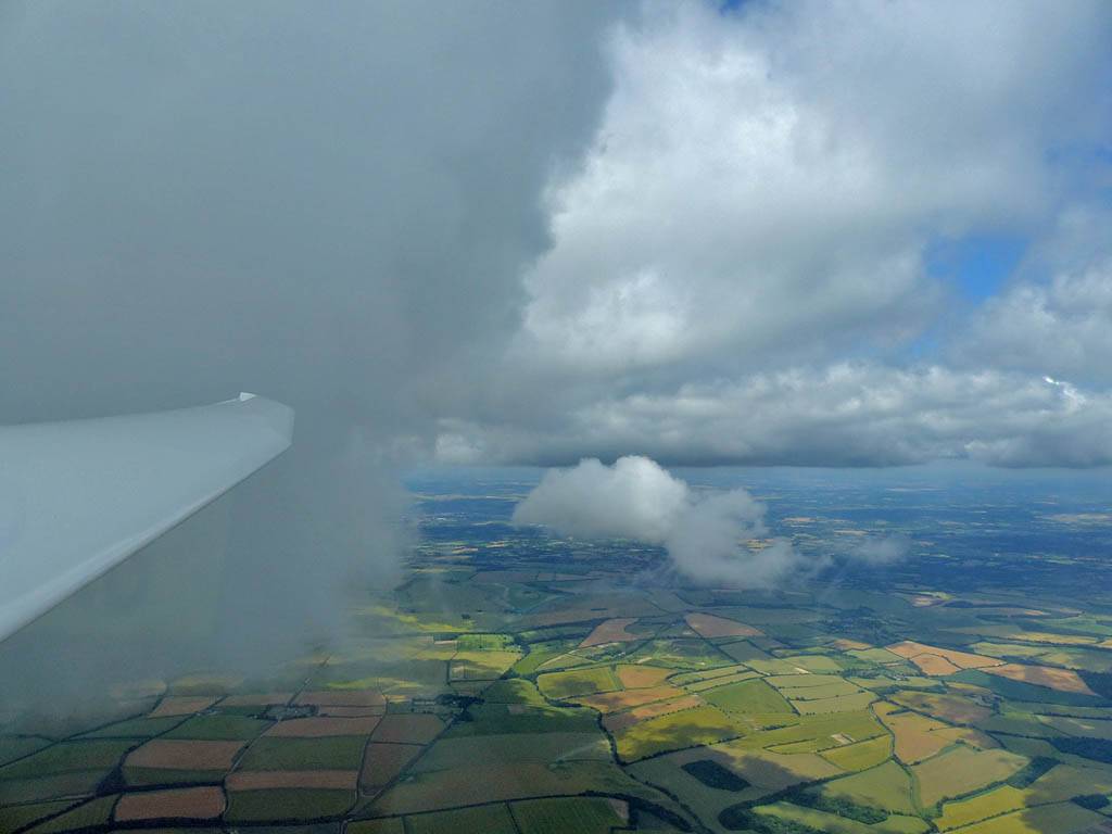
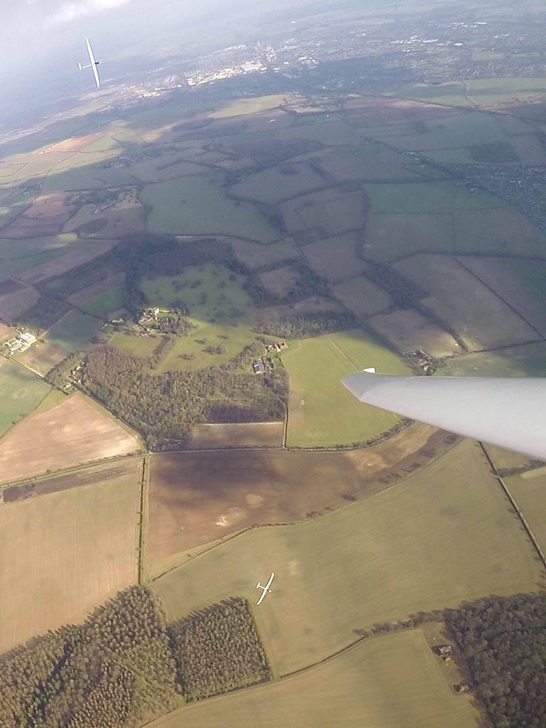
This was a local soaring flight with big and sometimes showery streets that ran for many miles. I had fun running upwind along the streets as far as Stockbridge to the West-Southwest.
 IMG_3497.jpg |
 IMG_3498.jpg |
 P1270983.jpg |
 P1270985.jpg |
 P1270989.jpg |
 P1270991.jpg |
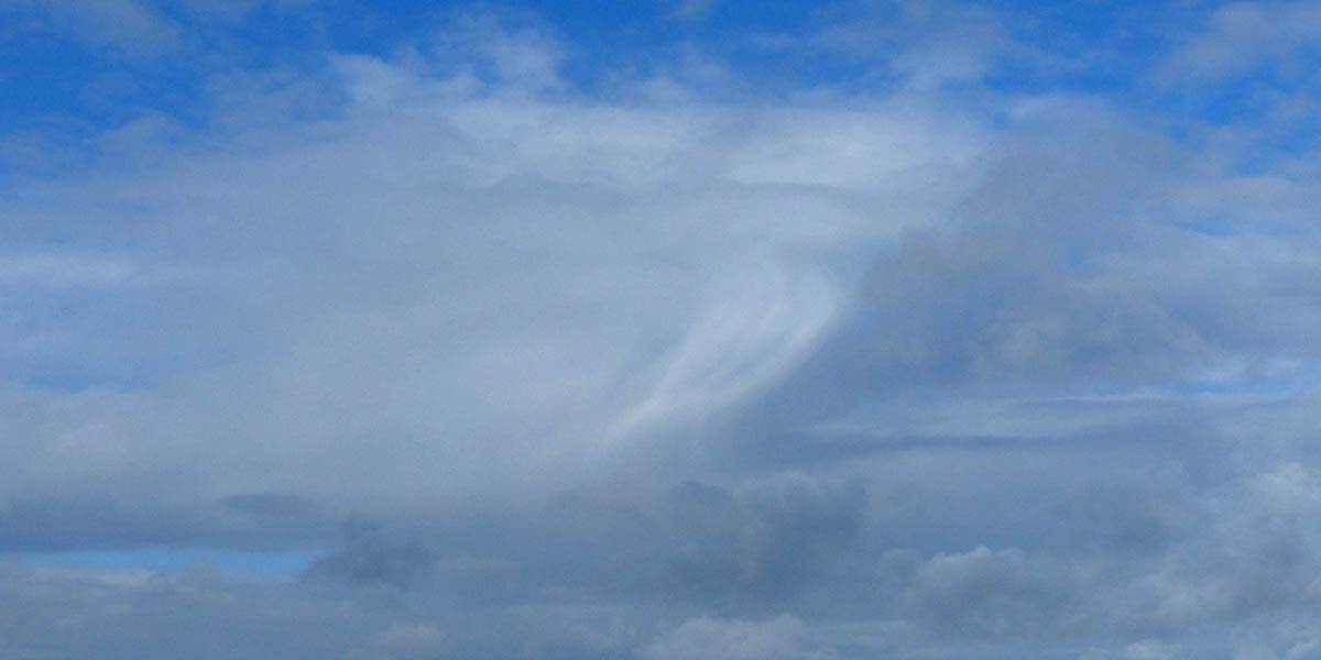
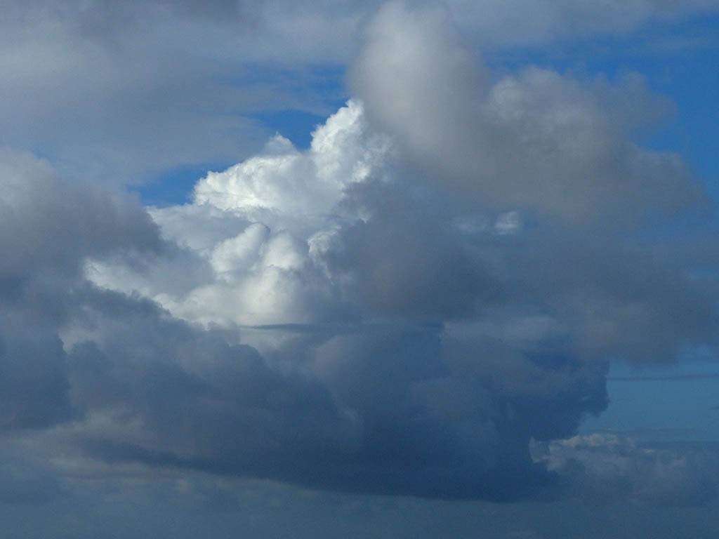
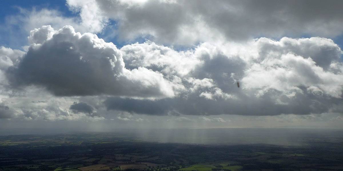
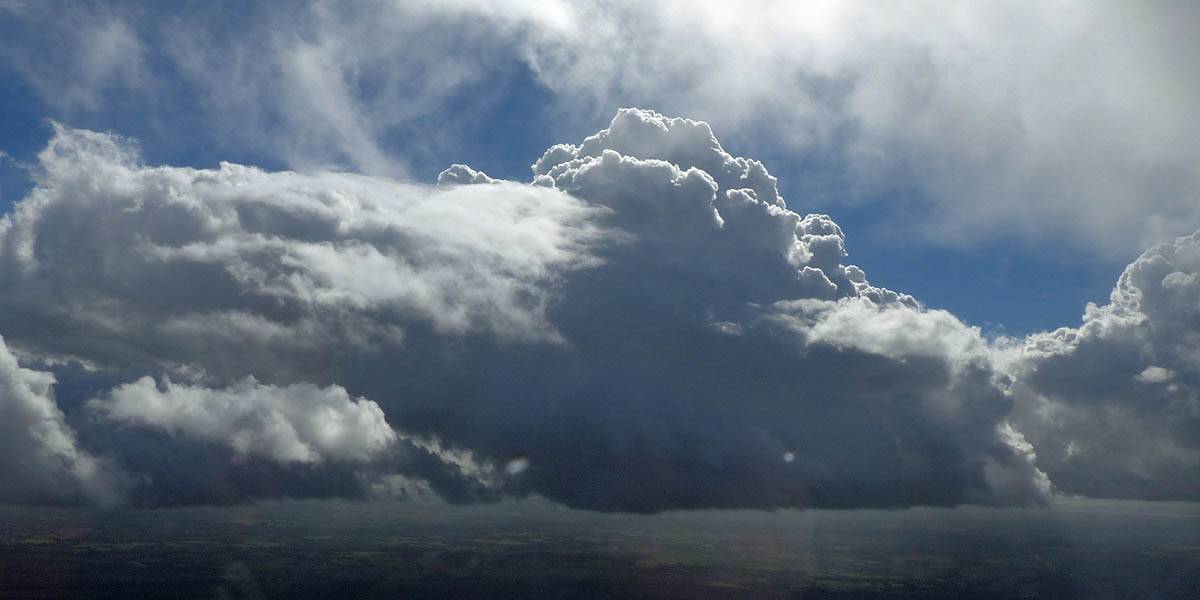
| SH2 parked at the runway 23 launch point ready for use. | K13 training glider about to be winch launched. | Views of a pretty virga drifting with the wind to the West-Northwest. | Building towering cumulus. | ||
 P1270996.jpg |
 P1270997.jpg |
 P1270999.jpg |
 P1280003_005_Panorama.jpg |
 P1280006.jpg |
| More unstable looking cloud. | To the South and Southwest a long towering street is building. | |||
 P1280008.jpg |
 P1280009_010_Panorama.jpg |
 P1280014.jpg |
 P1280017.jpg |
 P1280018_020_Panorama.jpg |
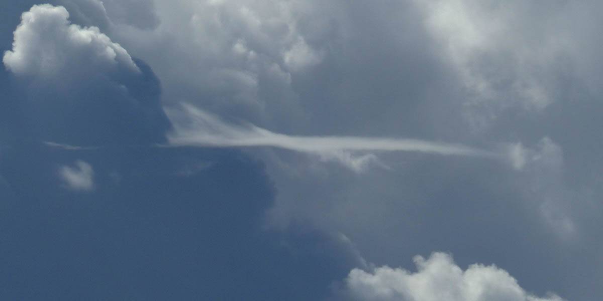
| Closeup of a pileus cloud on one of the cloud towers. | Views from the winch launch queue as a jet takes off and a big cloud street forms close to the airfield. | |||
 P1280024.jpg |
 P1280027.jpg |
 P1280041.jpg |
 P1280051.jpg |
 P1280052.jpg |
 P1280065.jpg |
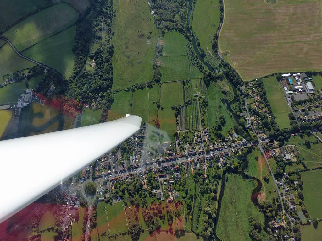
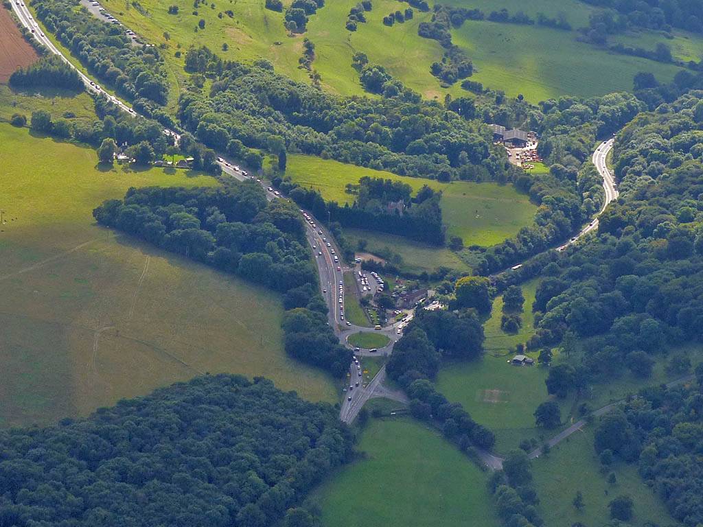
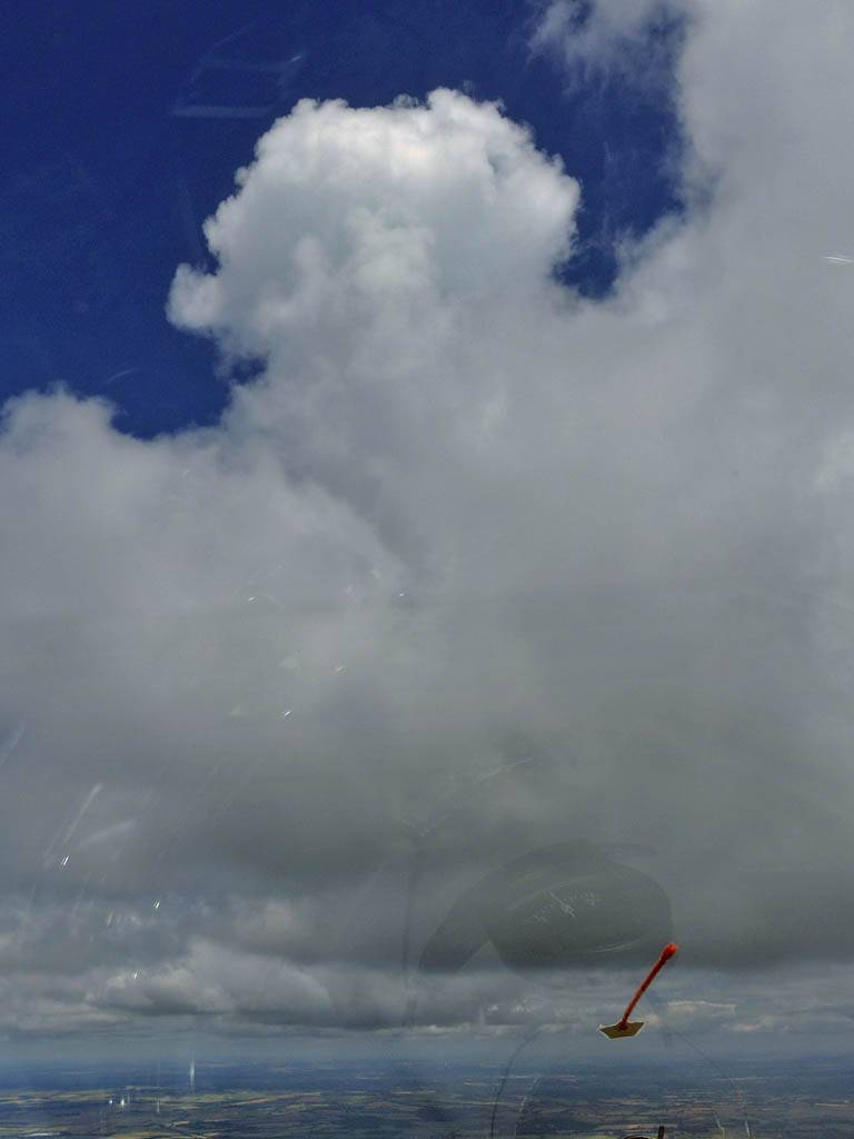
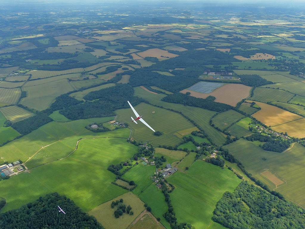
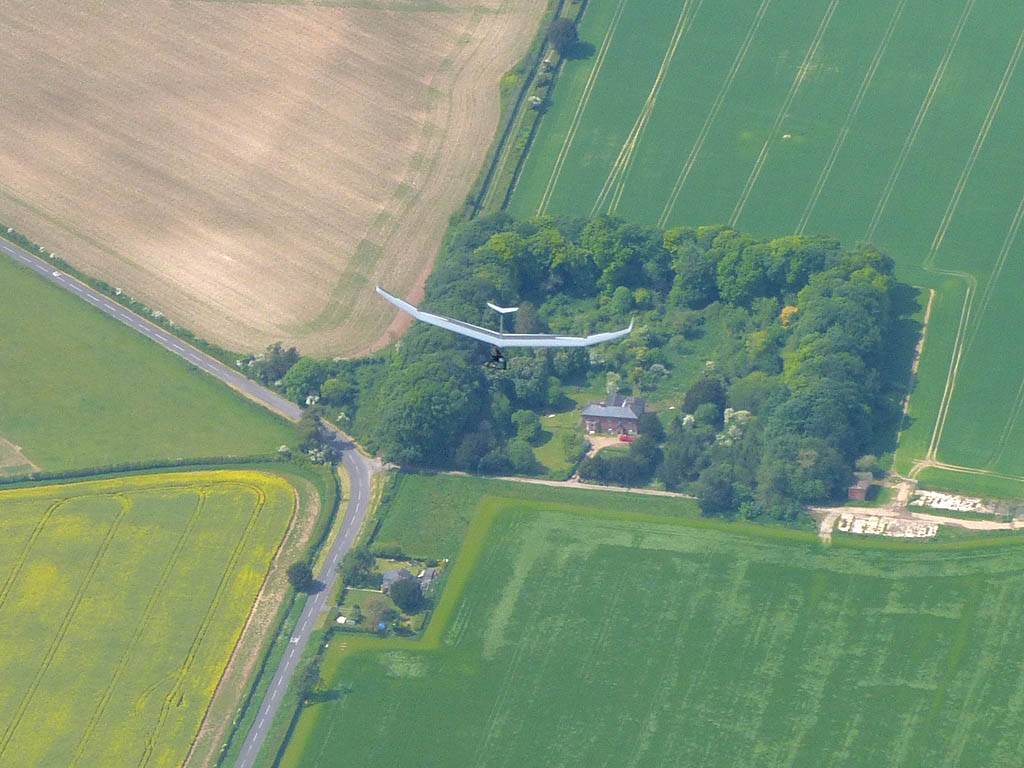
| Soaring along the cloud street after launch with another glider above already at cloudbase. | Shower cloud to the South. | Shower embedded within the street producing a nice rainbow fragment. | Views from cloudbase as I follow the street West-Southwestwards. | Bullington Cross (BUL) from the Northern side. | |
 P1280066_070_Panorama.jpg |
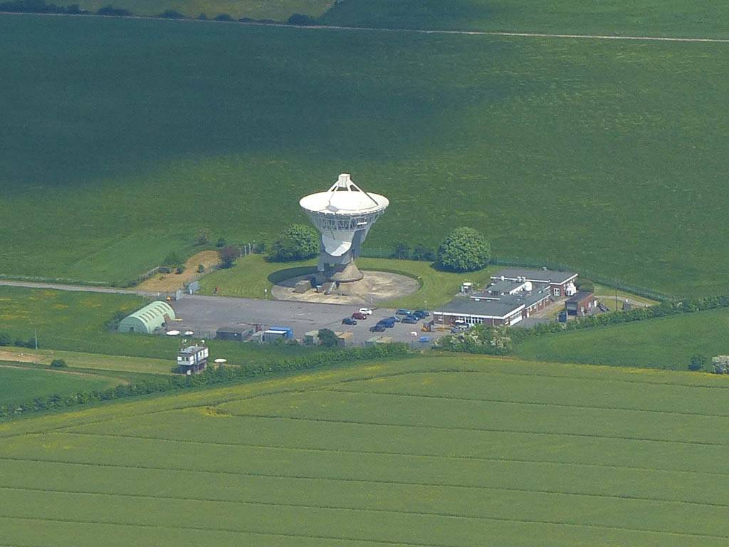
 P1280072.jpg |
 P1280073.jpg |
 P1280074.jpg |
 P1280077.jpg |
 P1280078.jpg |
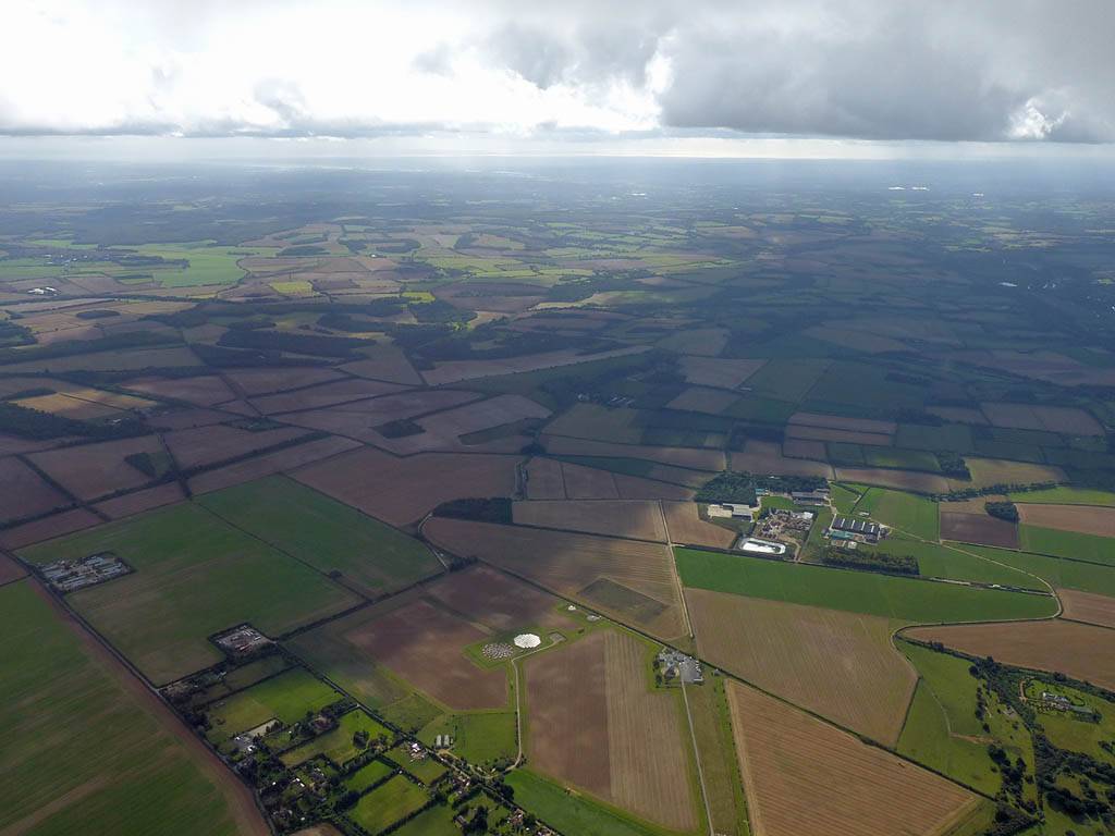
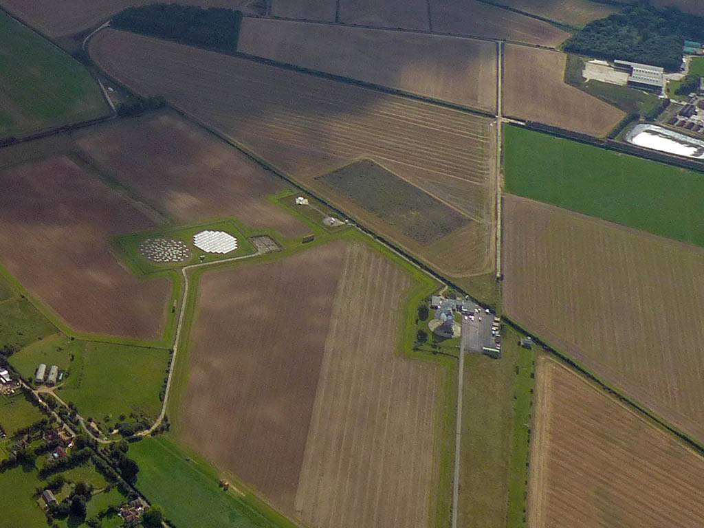
| 180 degree panorama as I continue West-Southwest. | Chilbolton Radio Telescope (CBN). | Looking Southwestwards along the River Test towards Stockbridge. | Turning Stockbridge (STK). | Nice cloud patterns to the South. | |
 P1280084.jpg |
 P1280084_085_Panorama.jpg |
 P1280096.jpg |
 P1280099.jpg |
 P1280100.jpg |
| More cloud street panoramas. | Basingstoke (BAS). | More views as the day cycles down a bit. | ||
 P1280108.jpg |
 P1280113.jpg |
 P1280114_115_VPanorama.jpg |
 P1280116.jpg |
 P1280130_133_Panorama.jpg |
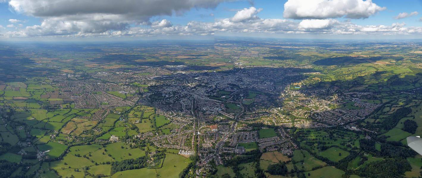
| More views as the day cycles down a bit. | Turning Bullington Cross (BUL). | Panoramic view from West of Basingstoke. | ||
 P1280134_136_Panorama.jpg |
 P1280146.jpg |
 P1280155.jpg |
 P1280157.jpg |
 P1280158.jpg |
 P1280163.jpg |
| Another nice cloud. | Micheldever from the South. | A few more nice views from cloudbase. | Lasham Airfield from the West as I descend to land. | ||
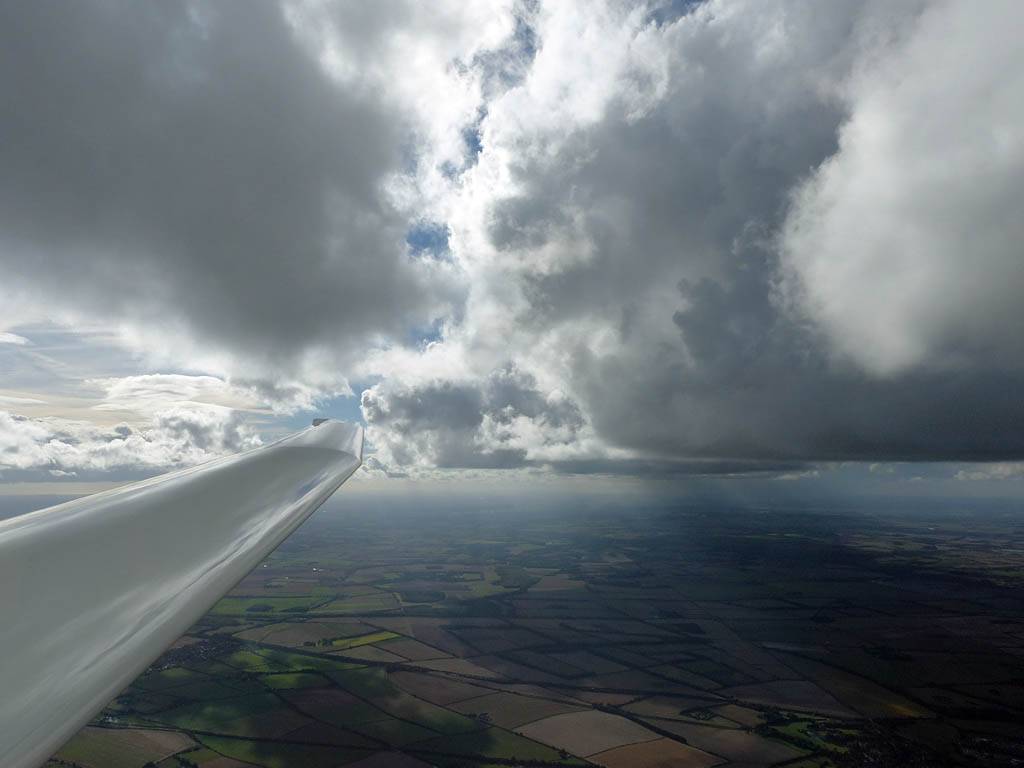
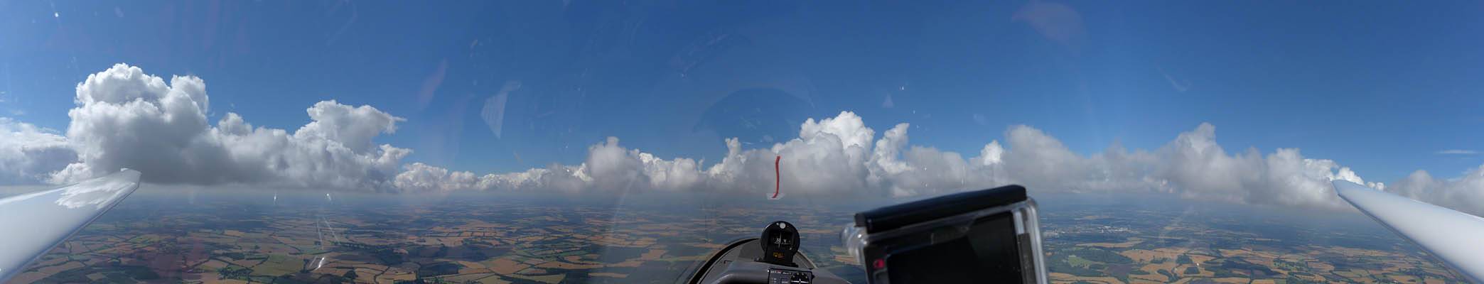
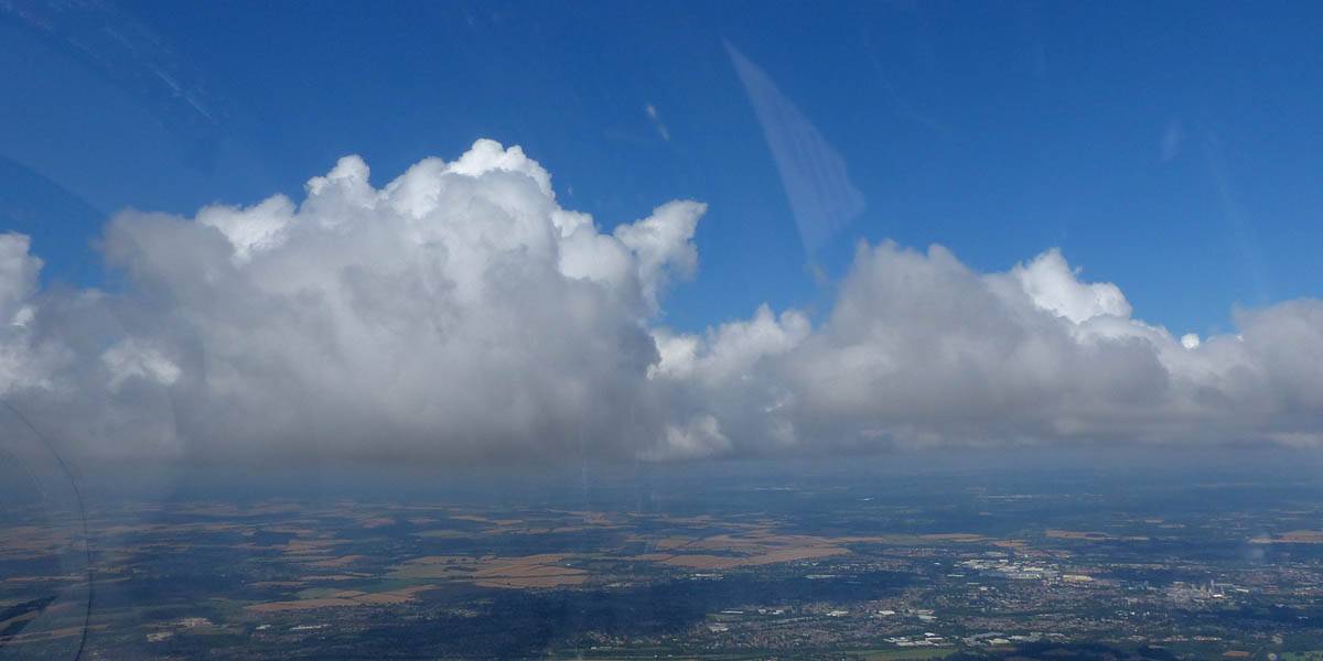
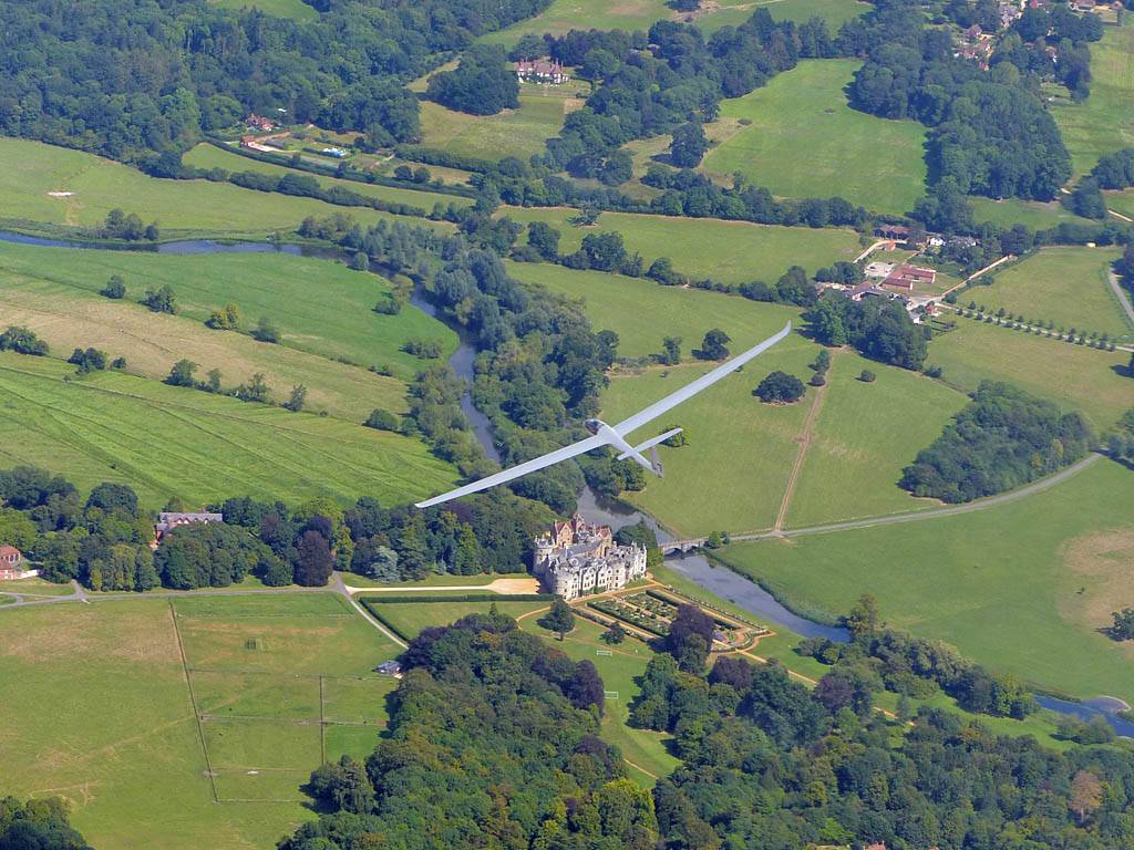
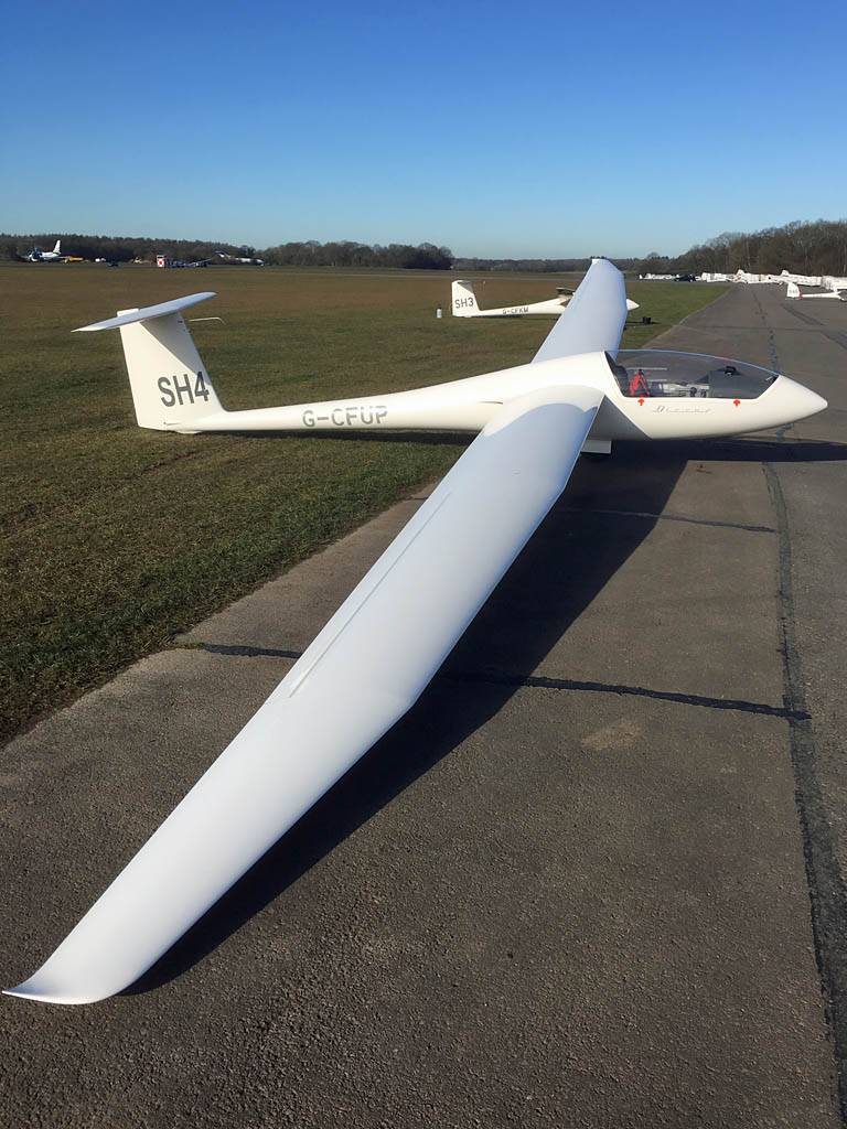
This was my best flight of the year. At last I managed a 300km flight, flying LAS-BCA-BIR-LAS at 71kph (in 4 hours 27 minutes).
 IMG_3262.jpg |
 IMG_3266.jpg |
 IMG_3268.jpg |
 IMG_3269.jpg |
 IMG_3270_3273_Panorama.jpg |
| Discus SH4 rigged and ready to fly. Outside the trailer and then parked at the launch point. | Interesting clouds forming as the day gets going. | SH4 now in line as lovely cloud streets form nearby. | ||
 IMG_3274_3276_Panorama.jpg |
 P1270689_692_Panorama.jpg |
 P1270694.jpg |
 P1270696.jpg |
| Looking around as the glider in front prepares to winch launch. | Up up and away! Winch launch and aerotow in frame. | My turn next. I'm soon away in a thermal and up to cloudbase. | |
 P1270706_712_Panorama2.jpg |
 P1270717.jpg |
 P1270719.jpg |
 P1270720_724_Panorama.jpg |
| Having fun at cloudbase as I set off Westwards. | |||
 P1270725_729_Panorama.jpg |
 P1270732.jpg |
 P1270739.jpg |
 P1270743.jpg |
 P1270745.jpg |
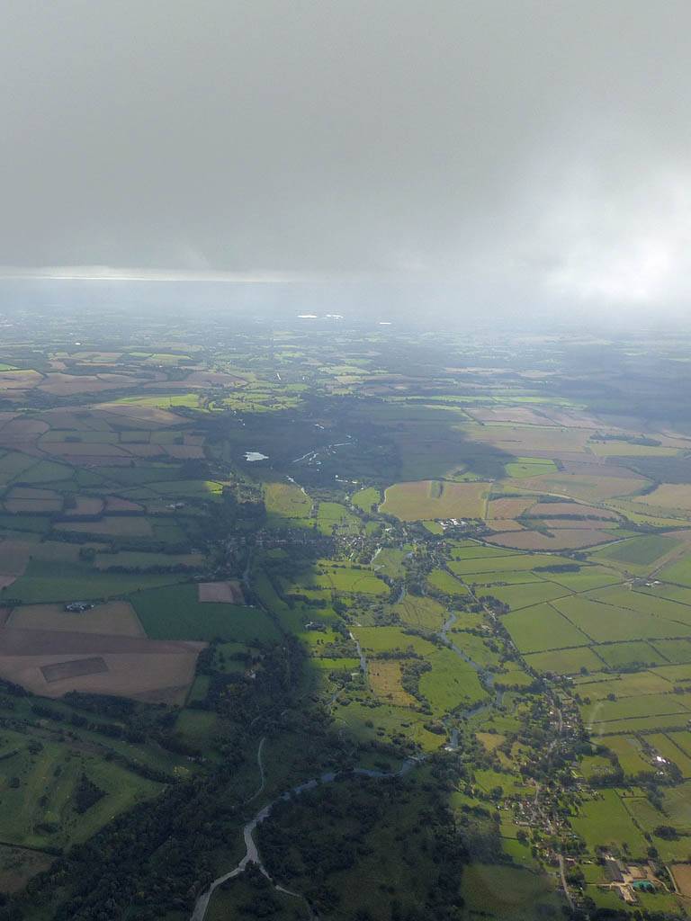
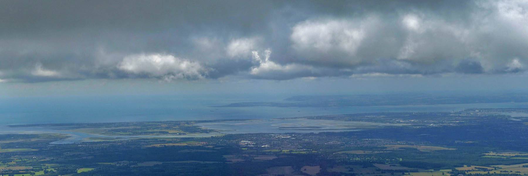
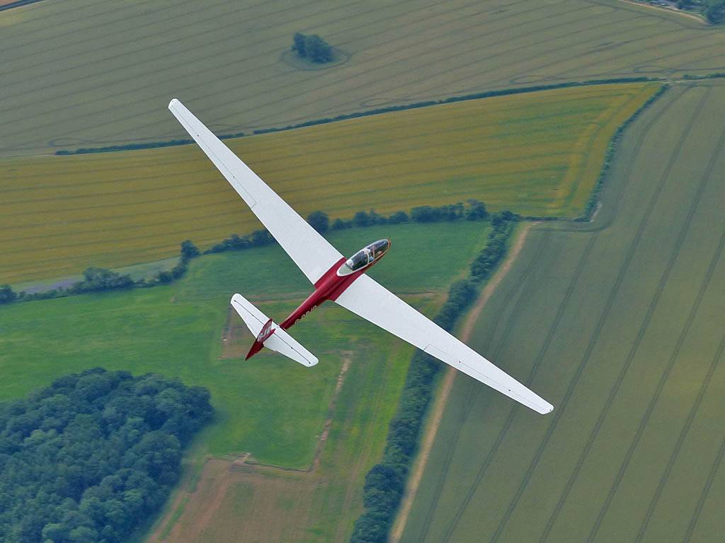
| Gorgeous conditions as I push West past Popham and towards Chilbolton. | Stockbridge from the Southeast. | Looking South to Southampton, Solent and the Isle of Wight. | ||
 P1270747.jpg |
 P1270758.jpg |
 P1270764.jpg |
 P1270767.jpg |
 P1270768.jpg |
 P1270771.jpg |
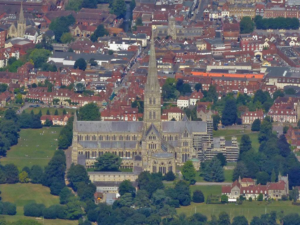
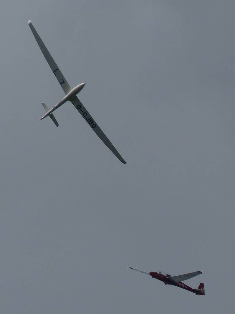
| Looking North over Stockbridge. | Salisbury Cathedral (SAL) from the South-Southeast. | Soaring with L7 South of Salisbury. Longford Castle on the River Avon visible from the Southwest. | Salisbury from the South as I soar with L7 some more. | Salisbury Cathedral (SAL) from the South. | |
 P1270773.jpg |
 P1270775.jpg |
 P1270783.jpg |
 P1270787.jpg |
 P1270789.jpg |
 P1270795.jpg |
| Back at cloudbase continuing on track as L7 continues below me. | Sixpenny Handley (SIX) from the North. | Looking West and South as I continue Southwestwards. | Compton Abbas airfield from the South. | ||
 P1270802.jpg |
 P1270816.jpg |
 P1270817.jpg |
 P1270820_822_Panorama.jpg |
 P1270823.jpg |
| Looking closer to the Southwest, the Isle of Portland can be seen in the distance. | Stalbridge from the Southeast as I approach the Bishops Caundle turnpoint. | Turning Bishops Caundle, BCA, from the Southwest. The turnpoint is where the A3030 goes over Caundle Brook to the Northwest of Woodbridge Farm. | Looking around as I set off Northwards towards Birdlip. | |
 P1270828.jpg |
 P1270829.jpg |
 P1270832.jpg |
 P1270840.jpg |
 P1270851.jpg |
 P1270855.jpg |
| Sherborne (SHB) and Sherborne Lake from the East. | Wincanton (WIN) from the South-Southeast as I make my way Northwards towards the Cotswolds. | A closer look at the pretty cumulus near Wincanton. | The Park Gliding Club (PRK) from the West-Southwest. | Westbury (WES) from the West. | Looking over Jenson Button's home town of Frome (FRO) from the North as I soar upwards in a thermal. |
 P1270857.jpg |
 P1270858.jpg |
 P1270862.jpg |
 P1270865.jpg |
 P1270866.jpg |
 P1270869.jpg |
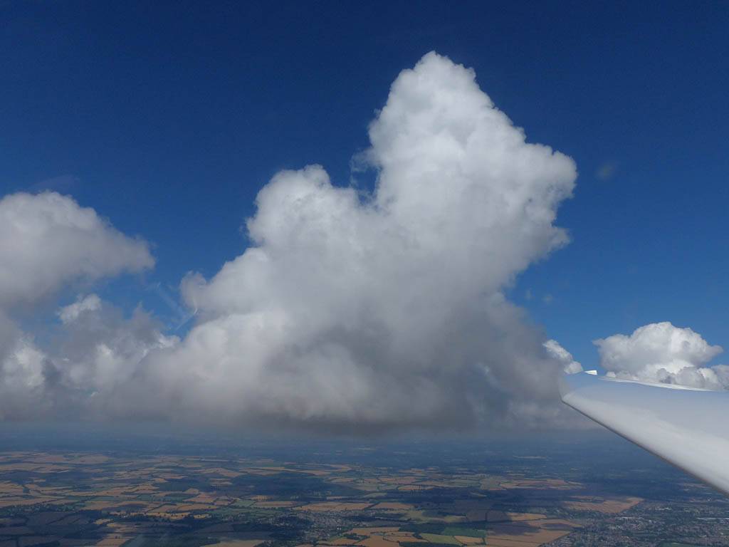
| As I continue North the air in the lee of the Severn Estuary is a bit more difficult with weaker conditions producing shallower cumulus. | In the far Northwest I can now just see the Severn Bridge. | Lyneham Airfield (LYN) from the Southwest. | Long range view of a microlight passing nearby. | Looking West along the M4 as I cross it. Junction 17 and Hullavington Airfield visible in the mid distance. | Lovely cumulus clouds as I get past the weaker patch. Heading to join another glider in a thermal. |
 P1270871.jpg |
 P1270879.jpg |
 P1270880_884_Panorama.jpg |
 P1270891.jpg |
 P1270896.jpg |
| Another view of gorgeous conditions. | Kemble Airfield from the Southwest. | Continuing Northwards past Kemble as I close in on Birdlip. | Kemble from the West. | Meanwhile on my left is Cotswold Gliding Club at Aston Down (AST), viewed from the Southeast. |
 P1270899.jpg |
 P1270900.jpg |
 P1270901.jpg |
 P1270902.jpg |
 P1270904.jpg |
 P1270905_907_Panorama.jpg |
| A closeup of the Cotswold Gliding Club launch point. | Looking past Aston Down to the Severn Estuary beyond, looking Westwards. | Turning Birdlip (BIR) and soaring just beyond it to the Northeast (Looking Southwest). | From my thermal just North of Birdlip there was a nice view over the Cotswold Edge to Cheltenham to the North of me. | ||
 P1270908.jpg |
 P1270911.jpg |
 P1270912.jpg |
 P1270914.jpg |
 P1270916.jpg |
 P1270935_937_Panorama.jpg |
| The view Eastwards and the start of my journey home. | South Cerney parachute drop zone from the Northeast and Fairford from the Northwest as I pass through the gap between the drop zone and Fairford's ATZ. | South of South Cerney are some nice lakes lit up by the sun. | Another view of Fairford just after I cross the East/West runway's centreline. | Looking Southeastwards along the A419 towards Swindon. | |
 P1270942.jpg |
 P1270944.jpg |
 P1270950.jpg |
 P1270952.jpg |
 P1270955.jpg |
 P1270960_963_Panorama.jpg |
| Membury Airfield (MEM) from the Northwest after struggling past a blue gap as I head closer to home. | In the distance to the Northwest Didcot Power Station (DID) can be seen. I never got to head that way this year so this was my best 2016 view. | Newbury (NEW) and Greenham Common from the West. | The top of my last climb. Now on final glide back to Lasham. Leaving Newbury behind. | ||
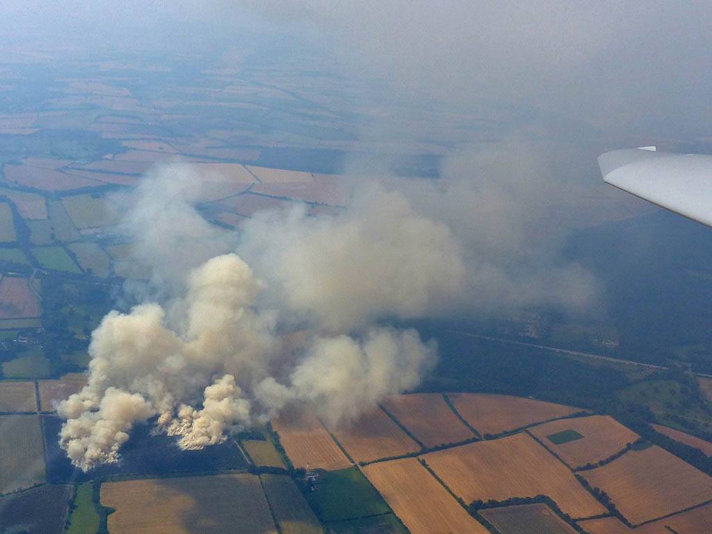
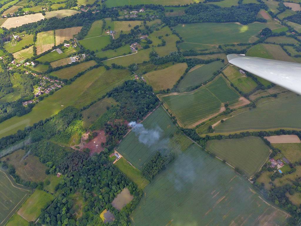
Another local soaring flight. It was a pea souper up there today and cloudbase wasn't very high. So I didn't go too far. The highlight was investigating a large fire in a field in the Popham area.
 P1270480.jpg |
 P1270488.jpg |
 P1270489.jpg |
 P1270490.jpg |
| The large fire to the South of Popham Airfield. | |||
 P1270500.jpg |
 P1270510.jpg |
 P1270517.jpg |
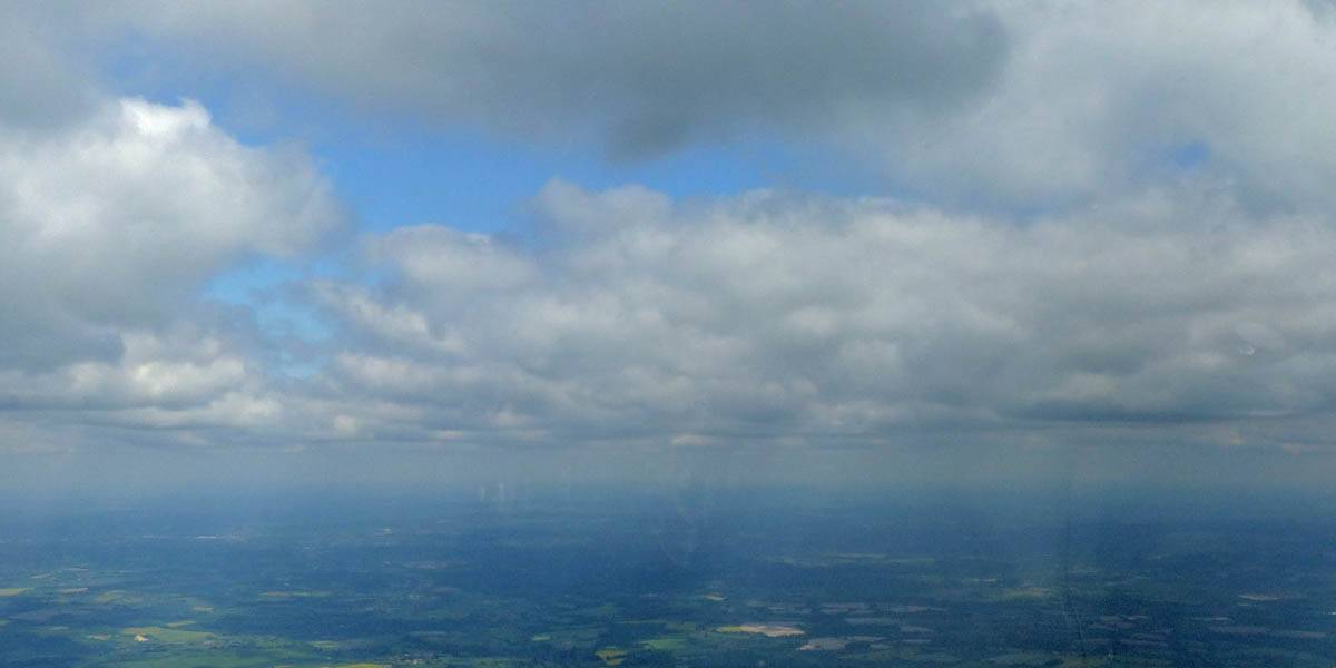
| Life at cloudbase on a very hazy day. See how much clearer the air is above the strong inversion. | ||
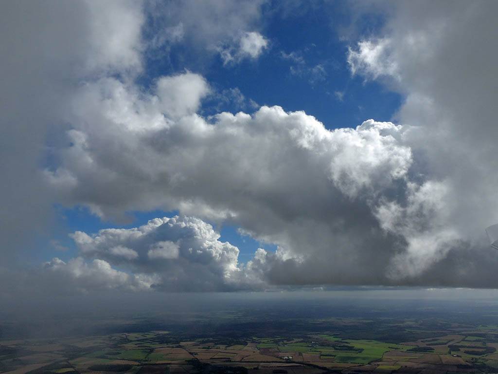
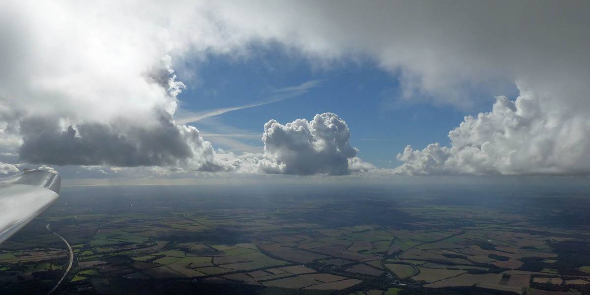
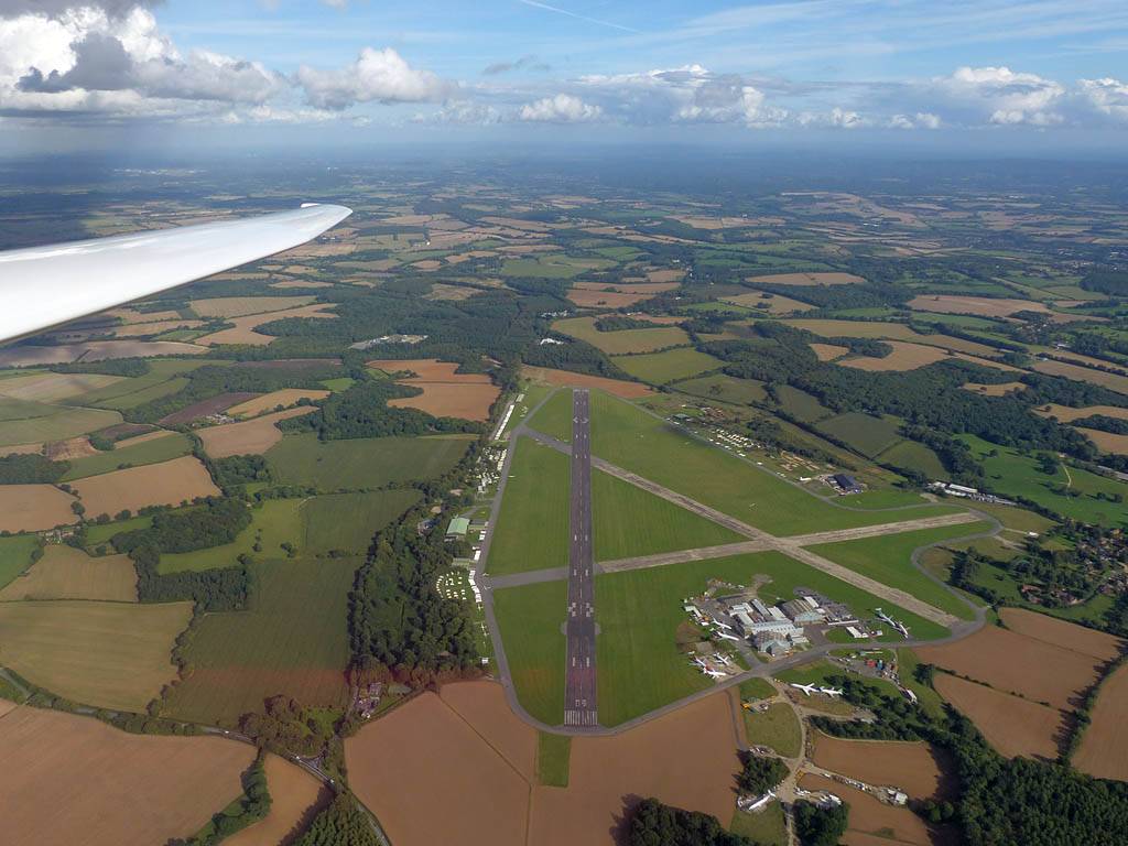
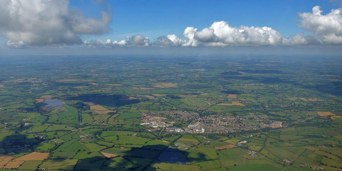
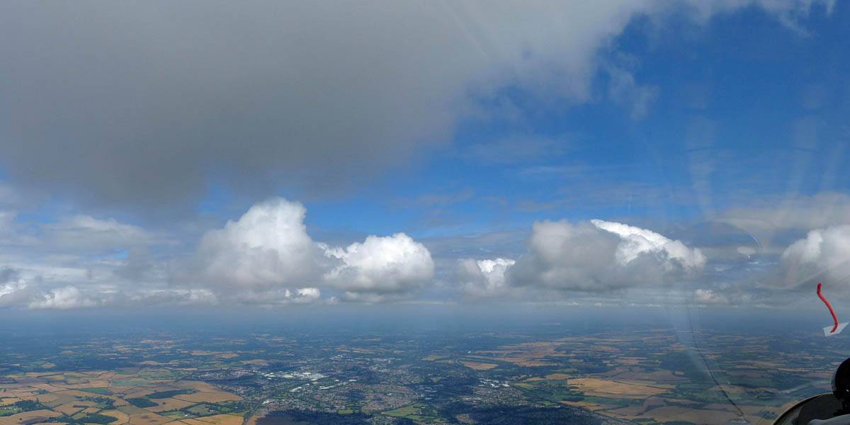
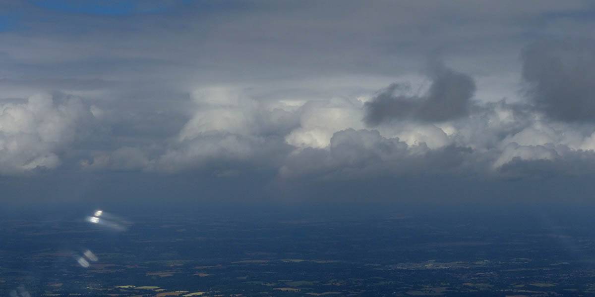
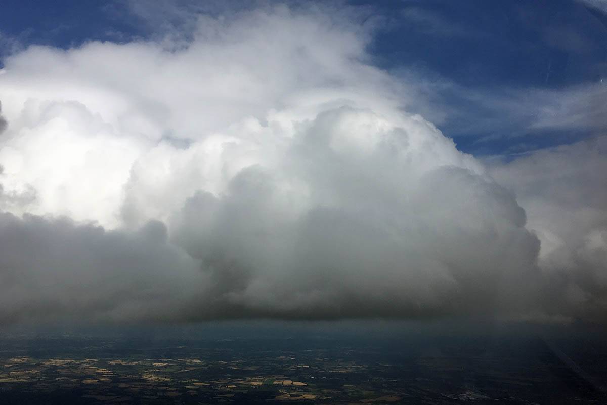
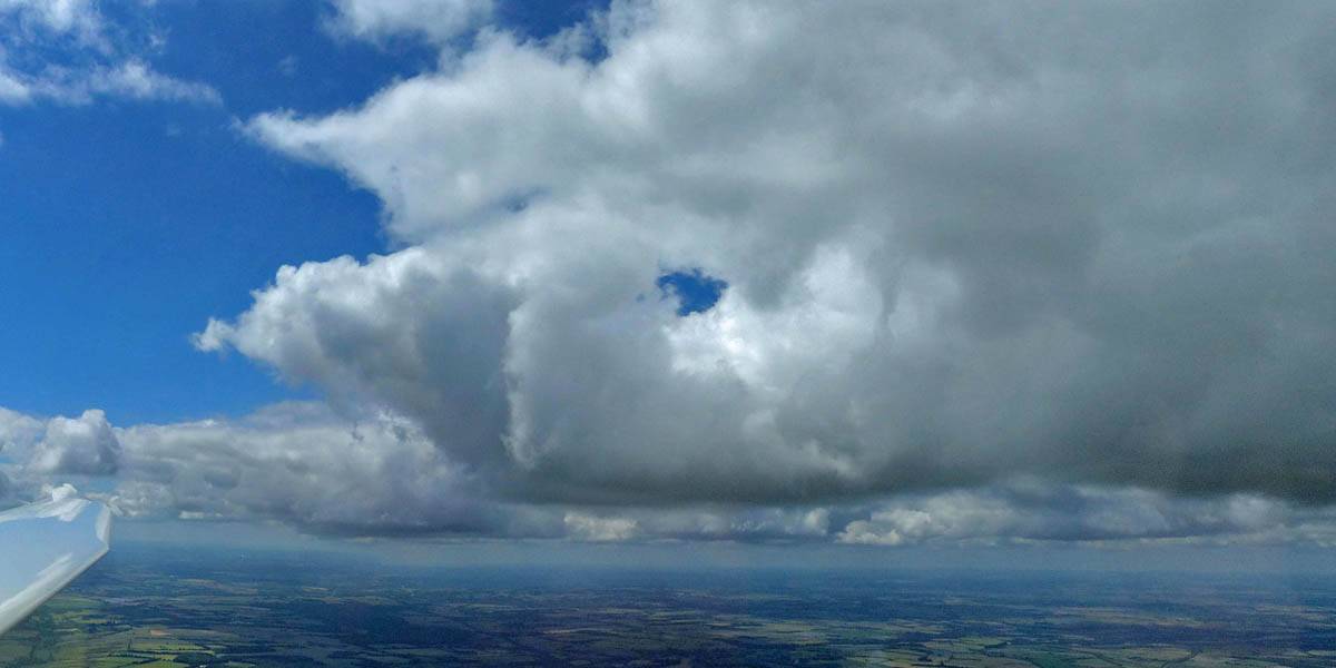
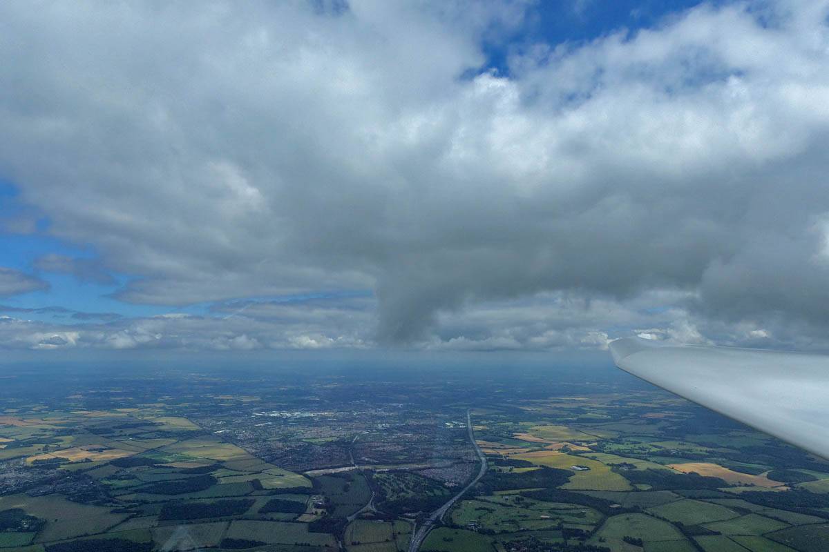
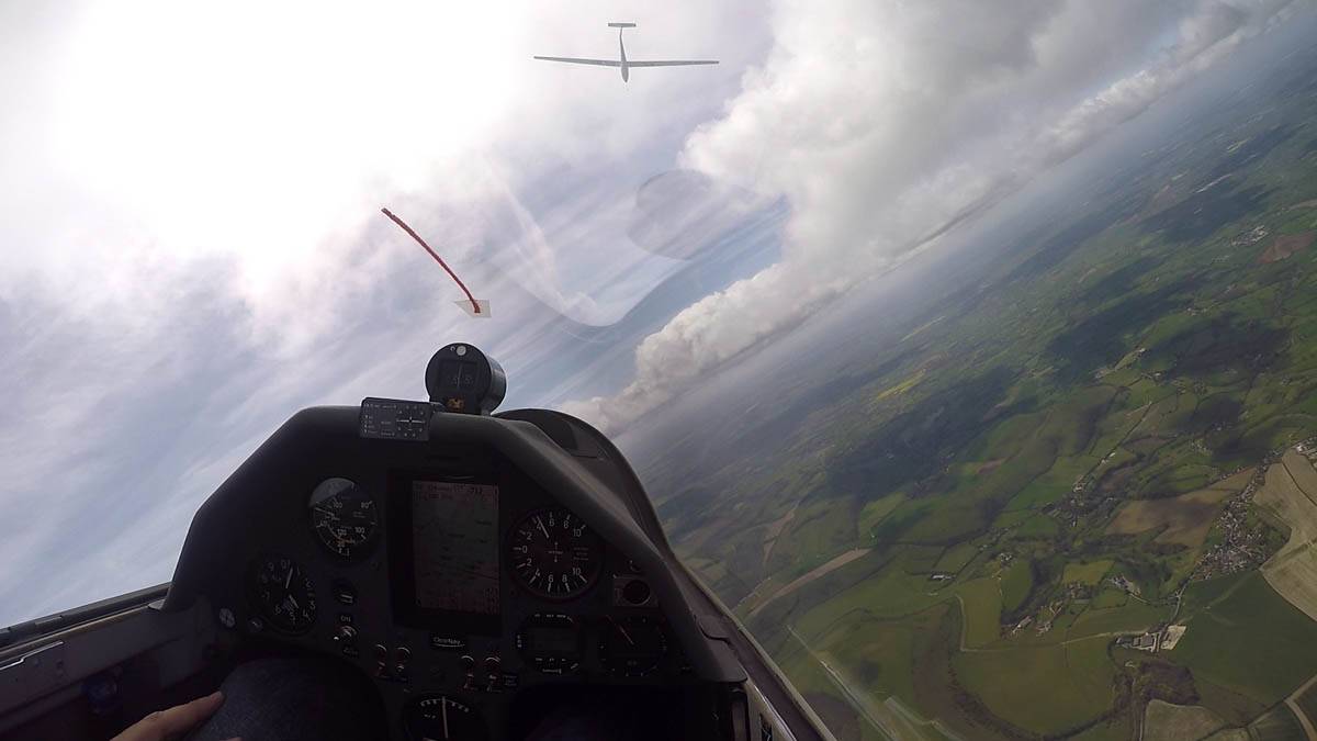
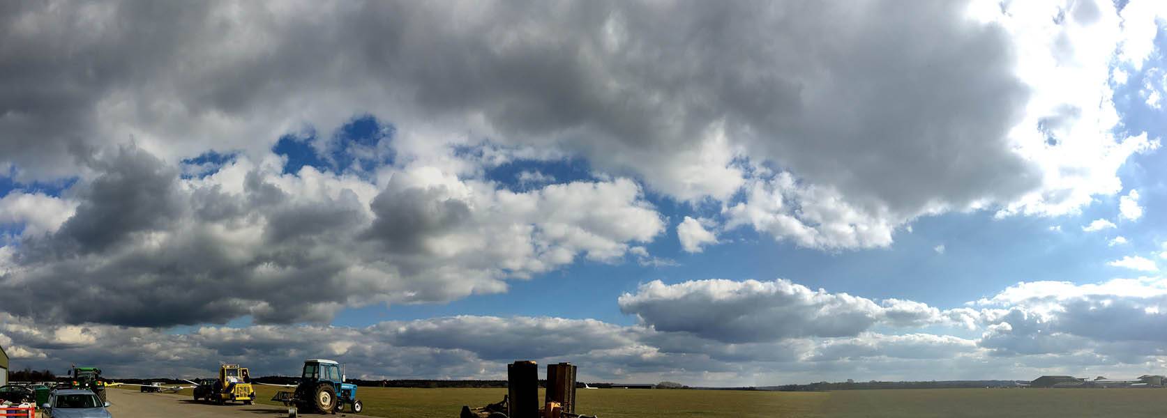
A local soaring flight during the Lasham Regionals competition. With no winch available a special club grid was set up. My timing was perfect as I got the last launch before the competition grid was launched. Cloudbase was only 3500 feet above Lasham with overdevelopment and big gaps. (Cloudbase eventually rose 1400 feet but not before the spreadout got severe.) Another Lasham Discus fell down back to Lasham. But I managed to stay up despite cloud amounts reaching 7/8's later in the flight. In the perpetual cloud shadow at 4C it was cold so 3 hours local soaring was more than enough today.
 IMG_2856.jpg |
 P1250289_291_Panorama.jpg |
 P1250293.jpg |
 P1250297_298_Panorama.jpg |
 P1250307.jpg |
 P1250314_316_Panorama.jpg |
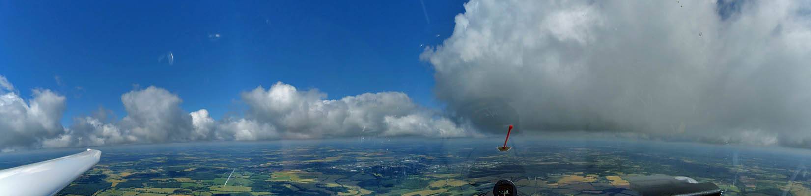
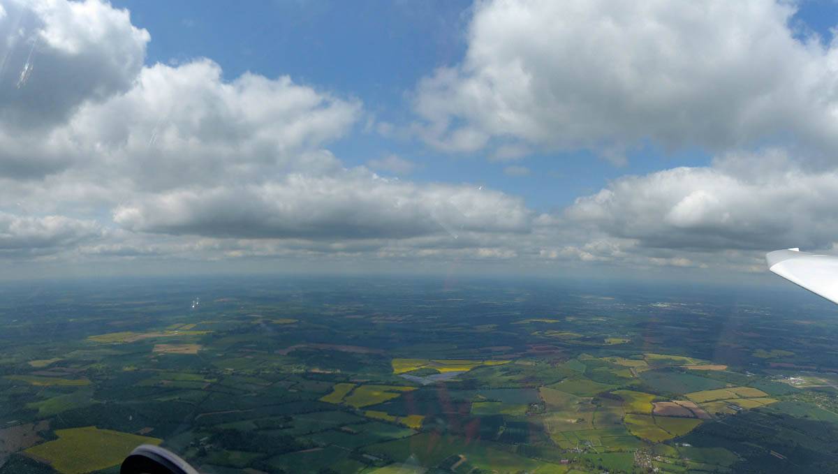
| The club grid ready to launch. To the left the competition grid can be seen on the runway. | At the front now, ready to launch. | Looking Eastwards at a shower clearing away. | Cumulus starting to pop and allowing me to stay up. | Soaring with other gliders. | Panoramic view to the West and Northwest past Basingstoke. |
 P1250324.jpg |
 P1250325_326_Panorama.jpg |
 P1250330.jpg |
 P1250332.jpg |
 P1250336.jpg |
 P1250337_340_Panorama.jpg |
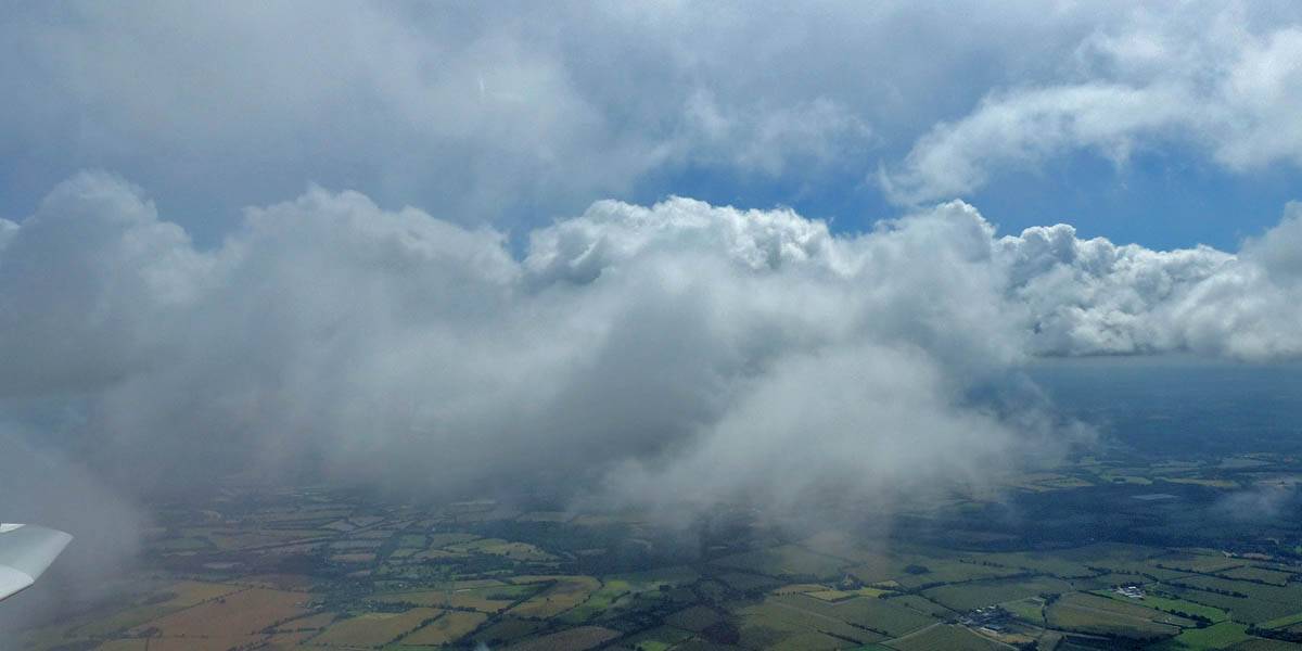
| Big clouds developing beyond the gap. | Basingstoke from the West. | More views towards Newbury of the bigger clouds as I have fun at cloudbase. | Cloudbase panorama as overdevelopment gets worse. | ||
 P1250347_351_Panorama.jpg |
 P1250363.jpg |
 P1250365_367_Panorama.jpg |
 P1250375.jpg |
 IMG_2863.jpg |
| 180 degree panorama. | Looking down at Greenham Common from the Southeast, my furthest point from Lasham today, as others struggle to stay up well below me. | Looking Southwards under a big dark cloud to the coast and Southampton. | Another view South from cloudbase. | Having fun under big clouds over Basingstoke. |
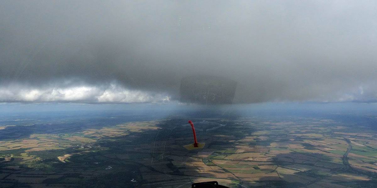
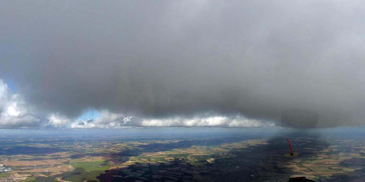
It was looking like a nice day and I got a Discus in the ballot. However cloudbase was low and spreadout became a problem. I had tiptoed to Harting and back but after that the lowish cloudbase and big gaps were rather daunting and I reverted to local soaring. Indeed it was difficult for a while and I struggled to stay up. But then after some more fun I took a cloud climb near Popham 2000 feet up into the cloud. That was a fun highlight of the flight. A video was also shot that can be viewed on YouTube.
 P1230653_655_Panorama.jpg |
 P1230657.jpg |
 P1230658.jpg |
 P1230663.jpg |
 P1230664_667_Panorama.jpg |
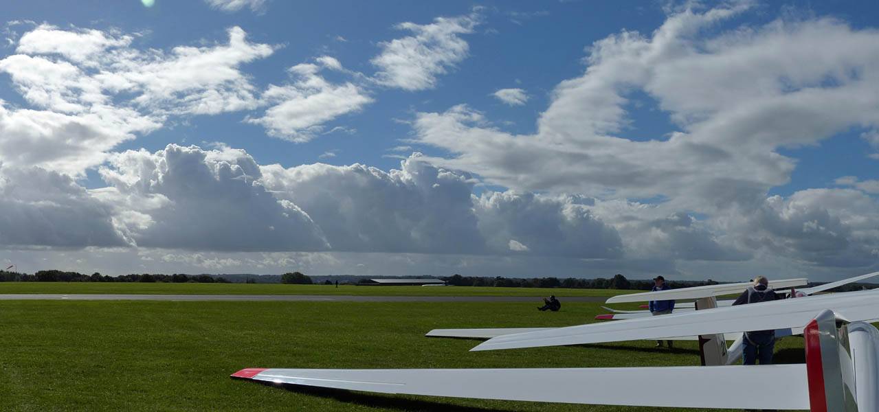
| Majestic cloud streets above Lasham Airfield as I prepare to launch. | Gliders soaring above me as I prepare to join them. | Enjoying being back up at an admittedly low cloudbase after finding easy lift under those cloud streets. | ||
 P1230674.jpg |
 P1230680.jpg |
 P1230681_683_Panorama.jpg |
 P1230684_685_Panorama.jpg |
 P1230692_697_Panorama.jpg |
| Sneaking slightly up the side of a cloud the view is always grand. | View of the South Coast from the Harting area. | Petersfield from the East. | Spreadout starting to become significant back near Lasham. | |
 P1230702.jpg |
 P1230703_707_Panorama.jpg |
 P1230708_709_VPanorama.jpg |
 P1230710.jpg |
 P1230712.jpg |
 P1230714.jpg |
| Lovely clouds somewhere over Northern Hampshire. | Look who I found Southwest of Basingstoke on Thursday 14th July... Colin Simpson in the front and Hilton Thatcher in the back. | ||||
 P1230716.jpg |
 P1230722_727_Panorama.jpg |
 P1230728_729_Panorama.jpg |
 P1230733.jpg |
 P1230734.jpg |
| Locally soaring Lasham as the spreadout gets worse and I struggle to find decent lift. | More lovely clouds somewhere near Basingstoke. | Spreadout starting to kill some thermals. | ||
 P1230737.jpg |
 P1230741.jpg |
 P1230752.jpg |
 P1230763.jpg |
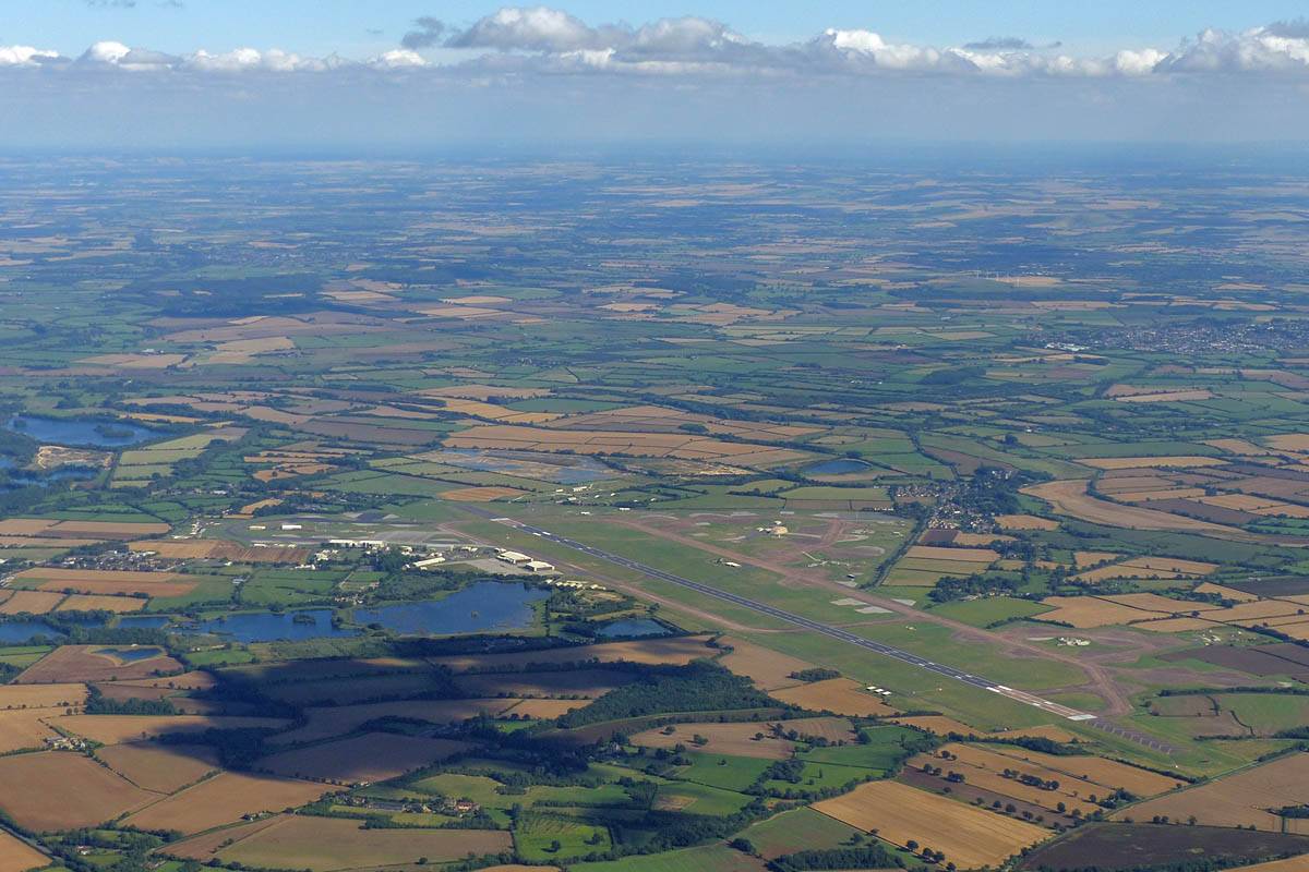
 P1230766.jpg |
| Views of the spreadout. | Soaring with another vintage glider. | Lasham Airfield from the Northwest. | Sharing a thermal with multiple gliders. | |
 P1230772.jpg |
 P1230782.jpg |
 P1230784.jpg |
 P1230787.jpg |
 P1230788.jpg |
| Views above cloudbase after a 2000 foot cloudclimb to 6400 feet between Popham Airfield and Overton. | Two more views of a nice cloud as I descend back past cloudbase and head back to Lasham. | |||
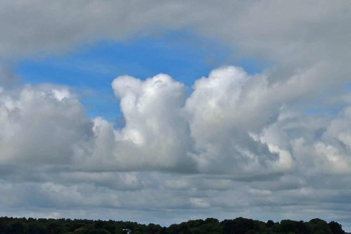
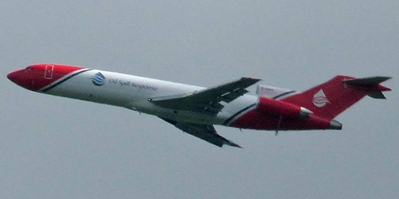
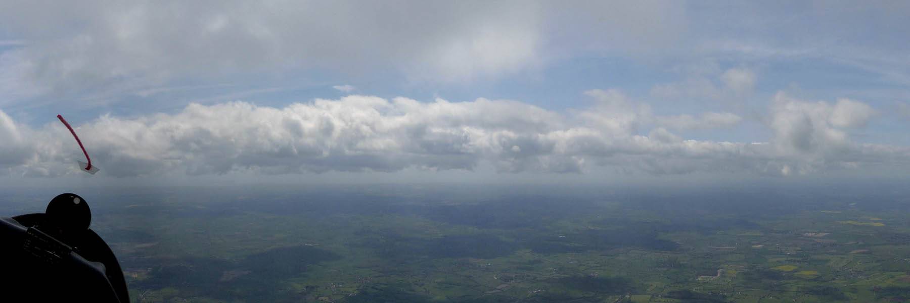
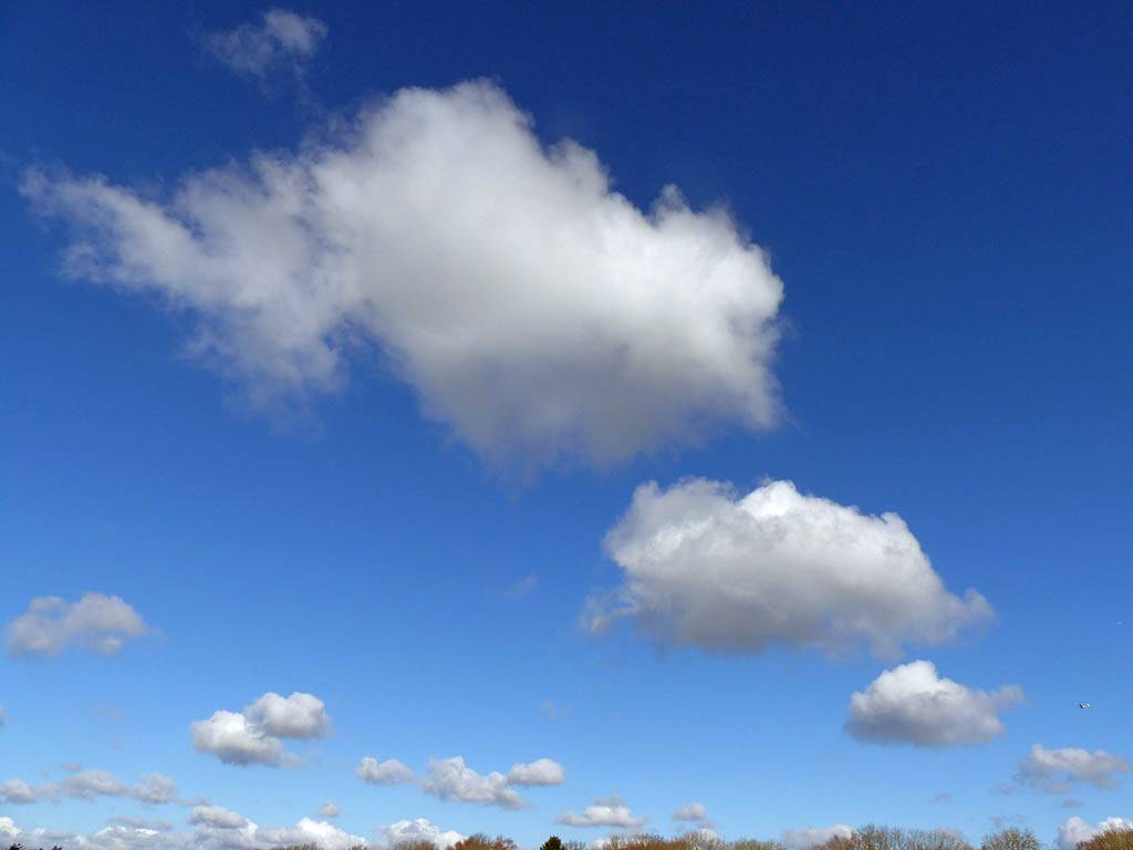
After a flightless June thanks to awful weather I was glad just to get off the ground today. It wasn't quite good enough for cross country for me but I enjoyed 3 hours of local soaring nonetheless. Cloudbase started at 3000 feet and slowly rose up to 3700 to 3900 feet above Lasham. Pushing into wind was hard work but after a number of backtracks I got as far away as half way between Newbury South and Hungerford before retreating back to Lasham. There were some strong thermals but much of the time I could only find weak lift and some nice looking clouds appeared not to work. On the way down I encountered a buzzard that I attempted to photograph as I circled around it.
 P1230412_414_Panorama.jpg |
 P1230415.jpg |
 P1230429.jpg |
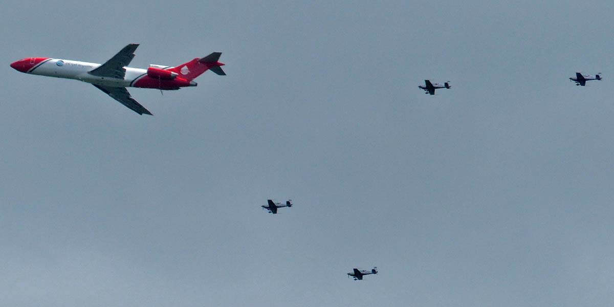 P1230430.jpg |
 P1230432.jpg |
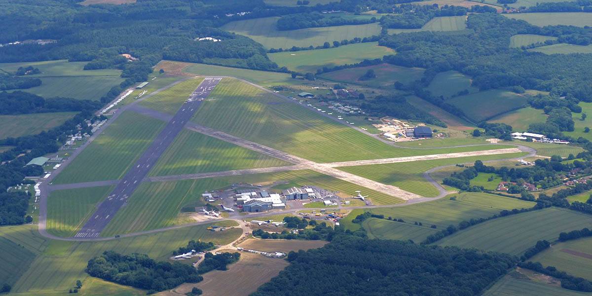
 P1230434.jpg |
| Spreadouty skies as early bad weather cleared. | An oil spill respone plane and accompanying single engine planes flying round in circles between Lasham and Farnborough. | Lasham from the Western side. | Scrappy cumulus at 3000 feet above Lasham with some reducing spreadout as conditions improved. | ||
 P1230435_439_Panorama.jpg |
 P1230440.jpg |
 P1230445.jpg |
 P1230447.jpg |
 P1230449.jpg |
 P1230451.jpg |
| 180 degree panorama as I fly North to nice looking clouds. | Soaring with another glider just West of Basingstoke. | Hannington air strip between Basingstoke and Kingsclere. | Looking Eastwards over Kingsclere mast. | Views at and just above cloudbase. | |
 P1230453.jpg |
 P1230456.jpg |
 P1230465.jpg |
 P1230471.jpg |
 P1230479.jpg |
 P1230480.jpg |
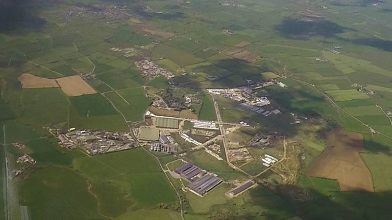
| Newbury South (NES) from the Southeast. | Soaring with an Silent 2 Electro glider. | An event happening at Thorngrove School in Highclere. | Smoke rising from Furze Park near Inkpen. | A farm to the South of Highclere Castle, seen from the North. | A gate on Limetree Avenue between the castle and the farm. |
 P1230481.jpg |
 P1230485.jpg |
 P1230486_487_VPanorama.jpg |
 P1230489.jpg |
 P1230491.jpg |
 P1230495.jpg |
| Looking North from Highclere Castle towards Newbury South. | A pagoda or bandstand in Highclere Park. | Some structures in the woods South of Highclere Castle, and Northwest of the farm. | Another view from cloudbase as I start to return to Lasham. | Popham Airfield from the North-Northeast. | As I descend past 2000 feet near Lasham I attempt to photograph a buzzard. |
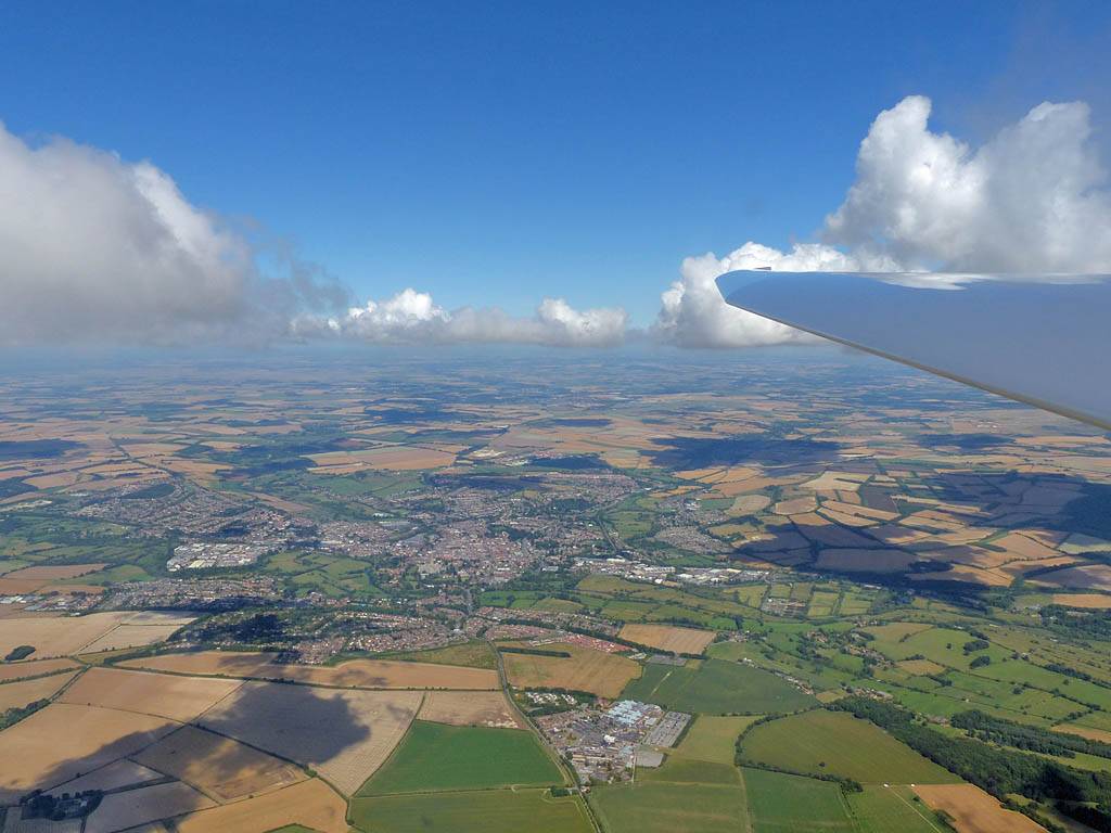
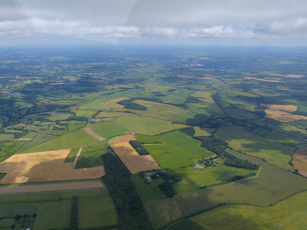
Another day where spreadout affected the flying. I stayed relatively local, going to Chilbolton first then to Hungerford. Then back to Alton before venturing out as far as Stockbridge under worsening spreadout before returning to Lasham and local soaring for a bit before landing.
 P1220591.jpg |
 P1220593.jpg |
 P1220602.jpg |
 P1220607.jpg |
 P1220608.jpg |
 P1220609_611_Panorama.jpg |
| Shallow cumulus with a gaggle of soaring gliders above the winch. | Setting off after winch launching then soaring with that gaggle in 7kts of lift. | Approaching Hungerford (HUN) after turning Chilbolton (CBN) first. | Back at Lasham the Bocian is spotted soaring nearby as I head to Alton to turn ALT. | Panorama near Lasham on my way to Alton. | |
 P1220613.jpg |
 P1220614.jpg |
 P1220615_616_Panorama.jpg |
 P1220617.jpg |
 P1220619.jpg |
 P1220621.jpg |
| Lasham Airfield from the Southwest. | Spreadout steadily getting worse as I head back West but still some good cumulus around. | Soaring with a hang glider near Stockbridge. | |||
 P1220622.jpg |
 P1220623.jpg |
 P1220624.jpg |
 P1220625_627_Panorama.jpg |
 P1220628.jpg |
 P1220630_632_Panorama.jpg |
| Stockbridge High Street from the Western side, with STK in the foreground. | Chilbolton Radio Telescope (CBN) from the West. | Severe spreadout ahead as I head back towards Lasham. | Popham Airfield from the South. | Spreadout going 8/8 as my flight nears its end. | |
After a break due to illness and bad weather it was nice to be back and finally go on a decent cross country flight. The best weather was to the Southwest so that is the way I went. Apart from an area South-Southeast of Salisbury Plain that wasn't working quite so well it was rather a pleasant jolly. I went as far as the Sherborne area (Dorset) where I played with a sea breeze front before returning to Hampshire. Back home it was spreading out badly so I didn't go much further. It was nice to have a decent soaring flight, even getting as high as 5600 feet above sea level too.
There is also a Timelapse Video on YouTube of the part of the flight when I explored the sea breeze front and turned Melbury Bubb.
 GOPR0775-3-1445.jpg |
 P1210928.jpg |
 P1210931.jpg |
 GP010775-2-0154.jpg |
 P1210933.jpg |
 P1210952.jpg |
| Soaring away at Lasham after launch. | Approaching a wisp of cumulus as the GoPro cracks on recording my flight. | The GoPro captured the thermal under that wisp as being surprisingly strong, gusting to 10kts. | Passing M3J8, Popham (POP) and Bullington Cross (BUL) as I head Westwards to better looking cumulus. | ||
 P1210958.jpg |
 P1210966.jpg |
 P1210969.jpg |
 P1210972.jpg |
 P1210973.jpg |
 GP030775-1-0234.jpg |
| Chilbolton Radio telescope (CBN) from the Northeast and Stockbridge High Street (STK) from the Northwest. | In the Stockbridge area the conditions are lovely. Onwards and Southwestwards I go into wind. | Middle Wallop airfield from the Southeast. | Broughton from the Southwest. | ||
 GP030775-2-1736.jpg |
 P1210980.jpg |
 P1210987.jpg |
 P1210993.jpg |
 P1210994.jpg |
 P1210996.jpg |
| Views of Salisbury from the Southeast as I share a thermal with another glider. | A closeup of the other glider. | My best shot of Salisbury Cathedral (SAL) from the South as I depart Westwards. | Another nice cloud. | Tisbury (TIS) from the South-Southeast, with Fonthill Lake in the background. | |
 P1220001.jpg |
 P1220004.jpg |
 P1220005.jpg |
 GP050775-1-0717.jpg |
 P1220008.jpg |
 GP060775-1-0143.jpg |
| Shaftesbury (SHA) from the East. | Soaring with Mike in KE near Shaftesbury. | Compton Abbas airfield from the North. | Henstridge airfield from the East. | ||
 P1220009_011_Panorama.jpg |
 GP060775-4-1306.jpg |
 GP070775-2-0215.jpg |
 P1220028_029_Panorama.jpg |
 GP070775-3-0247.jpg |
 P1220030.jpg |
| Approaching the sea breeze front from the Northeast. | Arriving at the sea breeze front and having a play. | ||||
 P1220033.jpg |
 P1220037.jpg |
 P1220040.jpg |
 P1220041_043_Panorama.jpg |
 P1220046.jpg |
 GP070775-6-1050.jpg |
| More sea breeze fun as I head West along it. The South Coast can be seen through gaps in the curtain cloud. | Looking back Eastwards. | Continuing Westwards buzzing low cloud on the way. | |||
 P1220047.jpg |
 GP070775-7-1320.jpg |
 P1220049.jpg |
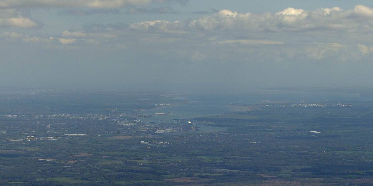 P1220063.jpg |
 P1220072.jpg |
 P1220080_084_Panorama.jpg |
| Sutton Bingham reservoir (The YEO turnpoint) from the East. | In the end I headed South onto the sea air side to turn Melbury Bubb (MBU). There was weak lift above the low cumulus wisps. | Sherborne (SHB) from the Southeast. | A long range view of Southampton from the Northwest well outside the airspace. | Back near Basingstoke the clouds are spreading out severely. Despite that found my best thermal of the day, showing 6.5kts on the averager. Thermals were hard to find despite this. | |
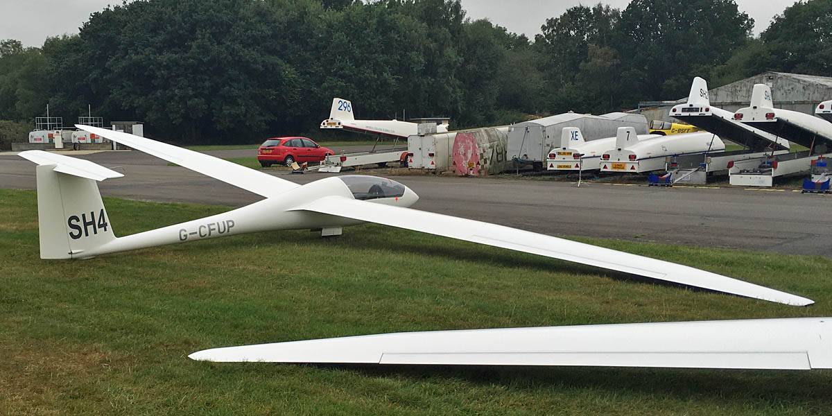
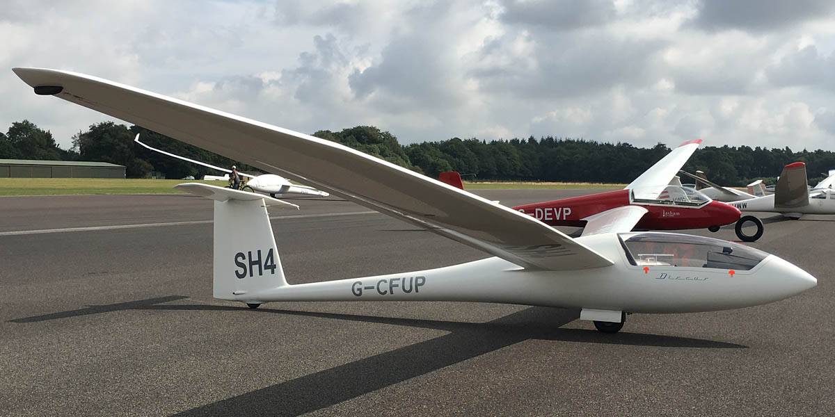
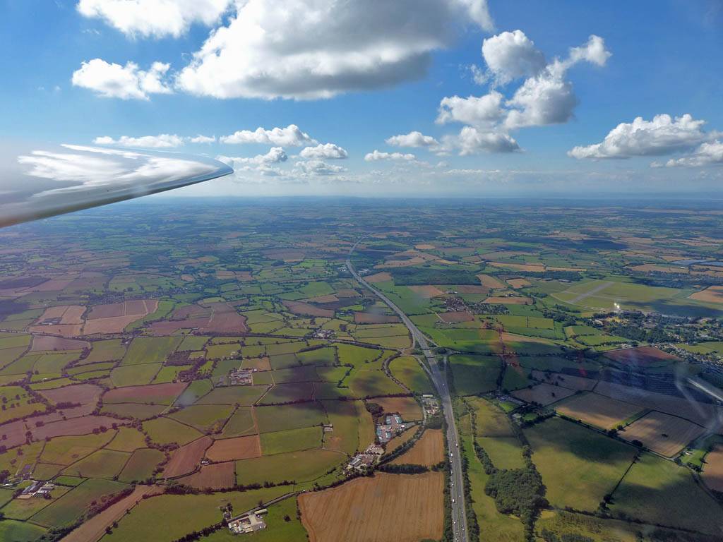
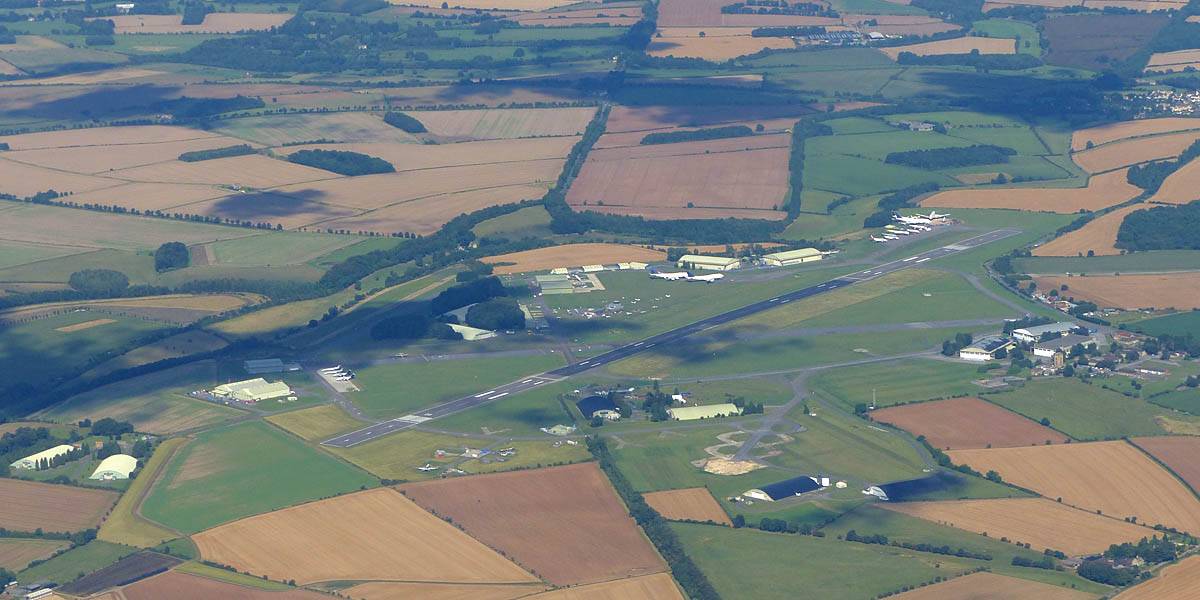
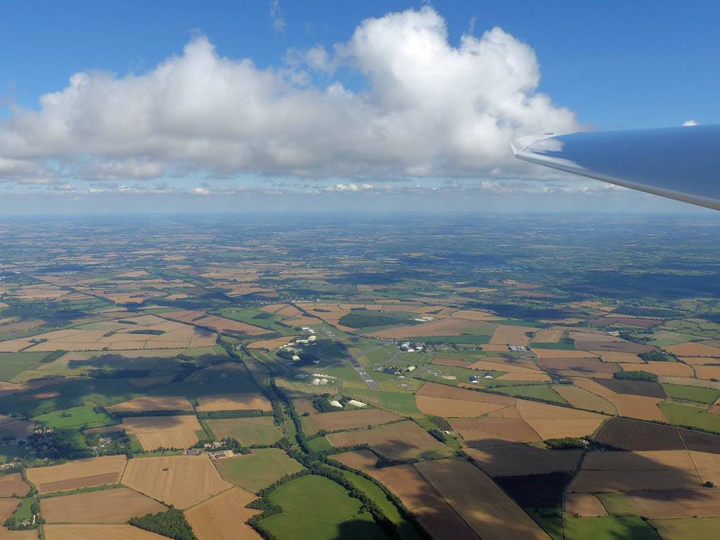
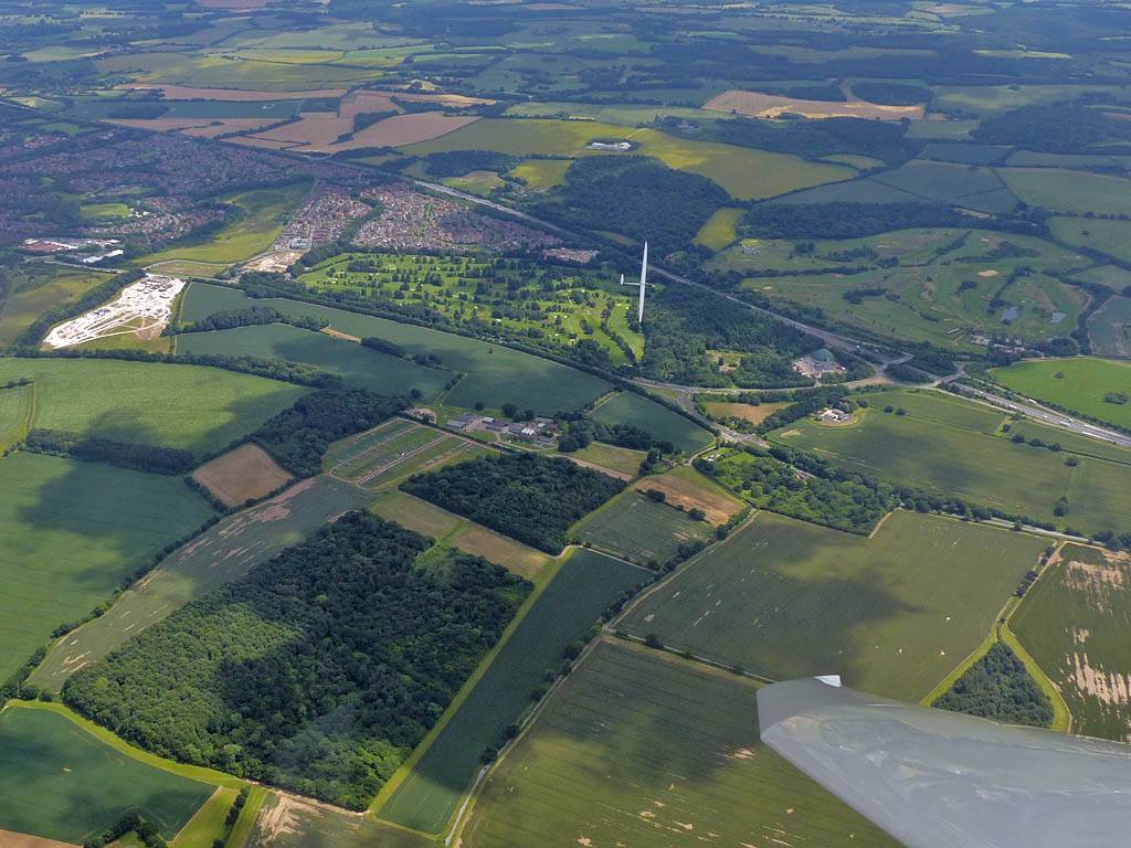
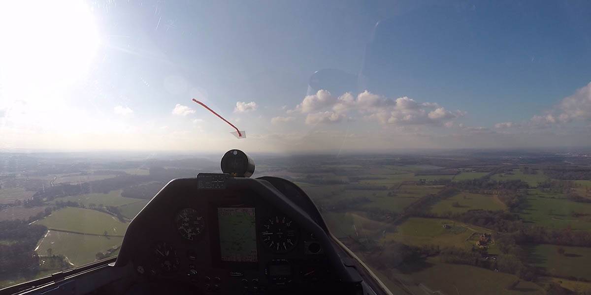
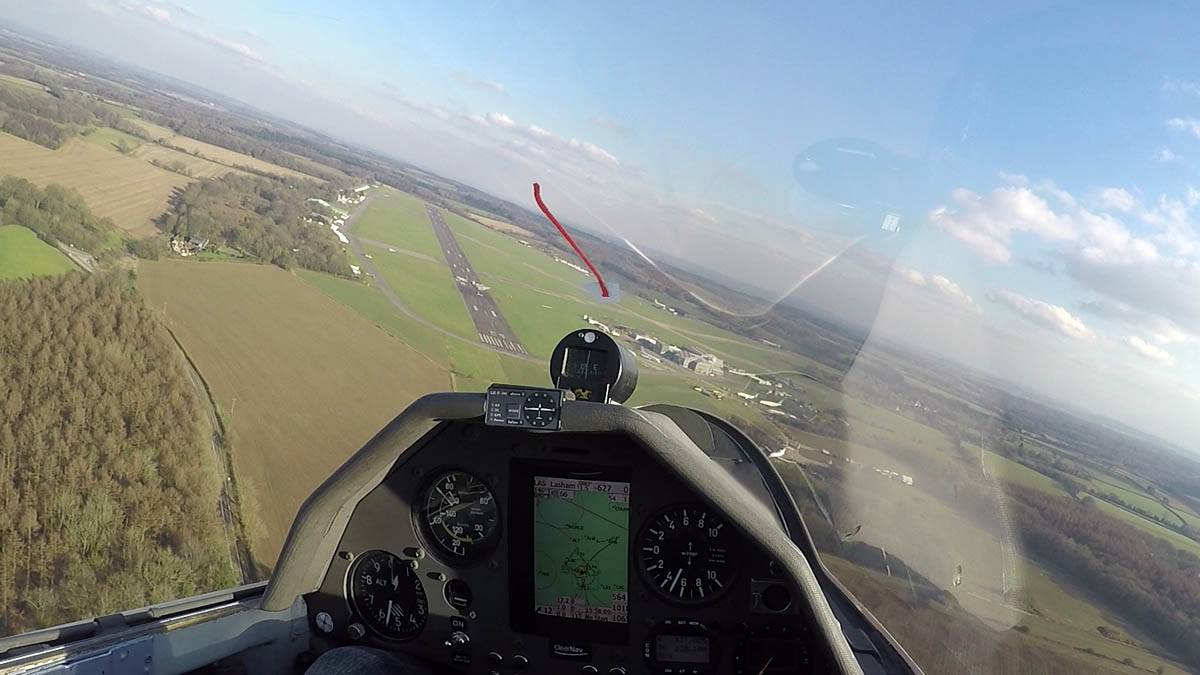
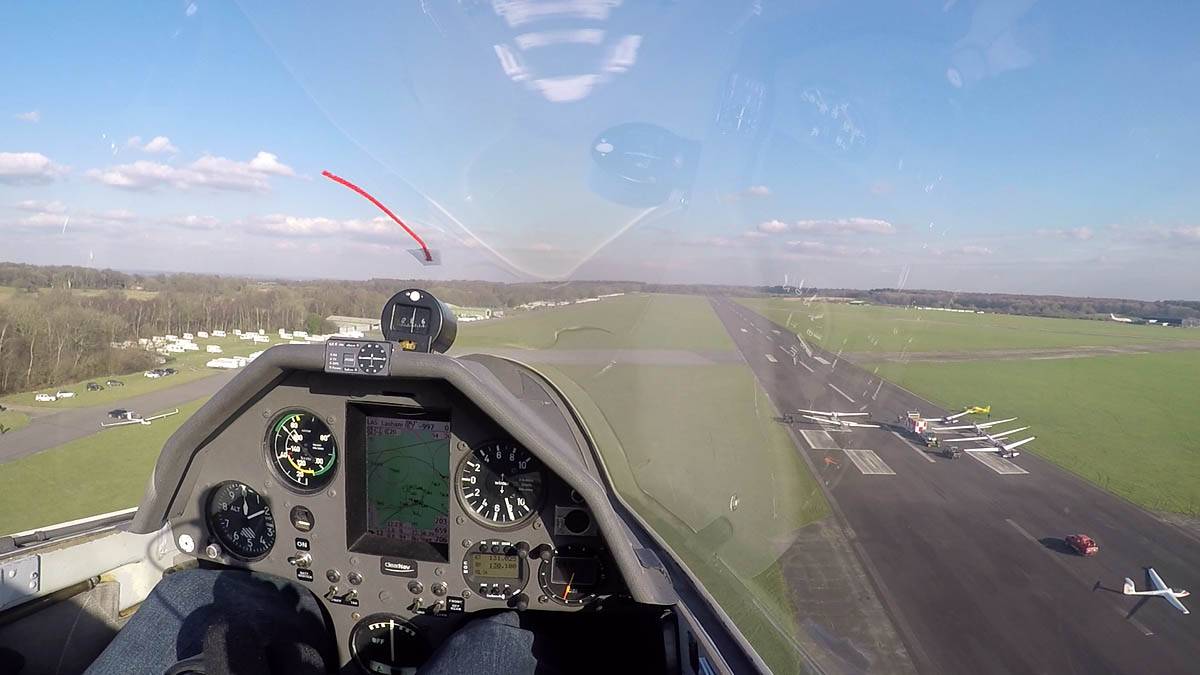
A few pictures taken on and above Lasham Airfield. I tried and failed for 2 hours to go far as conditions weren't as good as hoped with lowish cloudbase and spreadout. Every time I pushed North or Northwest I struggled and got low and had to retreat. In the end I decided it looked nice to the South and went downwind along a nice cloud street as far as Butser Hill. It did take me a while to get back again but with higher cloudbase and less spreadout it was more comfortable.
 IMG_0438.jpg |
 IMG_0439.jpg |
 IMG_0442.jpg |
 IMG_0448.jpg |
 IMG_0450_0452_Panorama.jpg |
 P1210636.jpg |
| Discus SH4 ready and raring to go. Parked up before I pushed it to the launchpoint. | Club gliders being brought out of the new hangar. | Some epic cloudscapes at the launch point as fluffy cumulus starts to pop and early top cover disappears to the Southeast. | |||
 P1210639_641_Panorama.jpg |
 P1210647.jpg |
 GP010769-1-0008.jpg |
 P1210649.jpg |
 GP010769-2-0551.jpg |
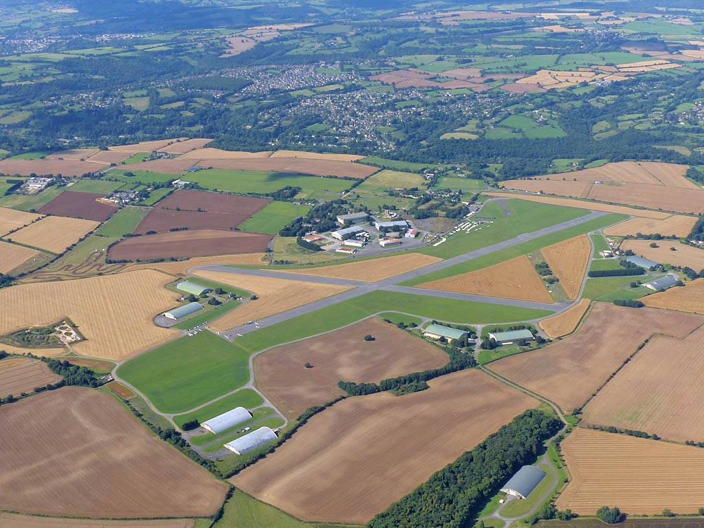
| One more launch point view before I decide it's good enough to fly. | View of Lasham airfield from the East. | The GoPro caught me taking the picture of runway 09. | View of the launchpoint on runway 09 from the Northeast as I head past to another thermal. | Soaring said thermal just beyond the Northwestern corner of the airfield with another glider. |
 P1210655.jpg |
 P1210663_664_Panorama.jpg |
 GP080769-2-1038.jpg |
| A glider looking very low West of the airfield, seemingly crreping back home. | Having fun back at cloudbase. | Climbing well just Southwest of Butser Hill (mast visible below is the BUT turnpoint). |
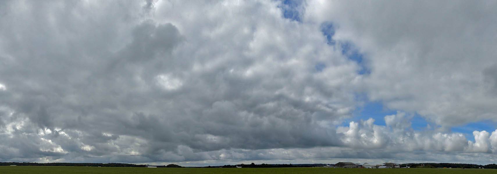
Pictures of a spreadout sky taken between training flights. I'm glad I soared yesterday as conditions weren't as good today. Perfect for the refresher course though.
 IMG_0087.jpg |
 IMG_0088.jpg |
 IMG_0091_0098_360Panorama.jpg |
| Spreadout to the North and Southwest. It soon went 7/8's with big gaps between thermals. | 360 degree panorama of the launch point as the clouds spread out after looking good early on. K13 training glider B in the centre was my trusty steed today. | |
This was my first soaring flight of the year. Having the GoPro on board is still a novelty and helped me capture shots that I would have missed otherwise (for example, the pics during takeoff and landing). It was pretty cold aloft. Someone reported -6C at cloudbase. 2 hours was enough for me today. See the diary for the full story.
 P1200684_688_Panorama.jpg |
 G0010743.jpg |
 G0010744.jpg |
 GOPR0745-2.jpg |
 GOPR0745-3.jpg |
 P1200689.jpg |
| A pesky line of cirrus produced a nice halo but it reduced the sun's heating at Lasham. Thermals popping to the North and South. | Towing to the clouds to the South. | Cumulus decaying over Alton as the cirrus drifts over. | Soaring over Fourmarks (view from the West). | Breaking Northwards across the big gap to the Northern cumulus. | Getting away from much lower as I get to the cumulus. |
 P1200693_696_Panorama.jpg |
 P1200699.jpg |
 GP010745-2.jpg |
 GP010745-4.jpg |
 P1200702_704_Panorama.jpg |
| Up up and away! | It's great to be back at cloudbase over Basingstoke. | Experimenting with the GoPro. That wide angle works brilliantly. | Soaring over Basingstoke.. | To the North a distinct cloud street formed. Possible convergeance line? |
 P1200708_710_Panorama.jpg |
 P1200718.jpg |
 P1200724.jpg |
 P1200725_726_Panorama.jpg |
 P1200727_728_Panorama.jpg |
| Crepuscular rays under the cloud street. Looking South and Southwest back to Basingstoke. | More cloudbase fun. | More crepuscular filled views from under the cloud street. | ||
 GP020745-1.jpg |
 GP020745-2.jpg |
 GP030745-4.jpg |
 GP030745-5.jpg |
 GOPR0746-1.jpg |
 P1200729_730_Panorama.jpg |
| Heading Southwestwards downwind along the street. | The GoPro's capturing me getting above cloudbase. | Soaring with others, including a brand new Arcus. | More above cloudbase fun. The 2nd shot here is my favourite. | Exploring another curious cloud to my North. Is that the Loch Ness Monster to the right? | |
 GP040746-1.jpg |
 GP040746-2.jpg |
 GP040746-3.jpg |
 IMG_0085.jpg |
 P1200732.jpg |
| GoPro frame grabs as I fly my circuit and come into land, passing the launch point at 200 feet on my way to the trailer. | Putting the glider away. Wings and tail already derigged into the trailer. | A nice atmospheric moment late in the day as the sun zips behind decaying cumulus clouds. | ||