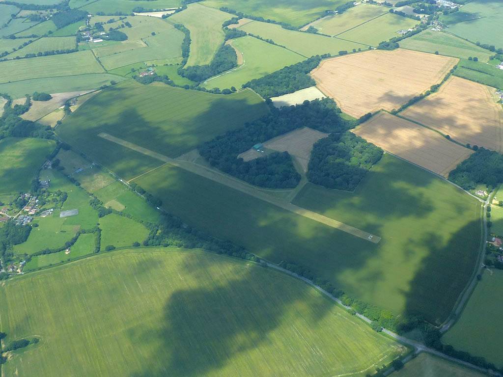
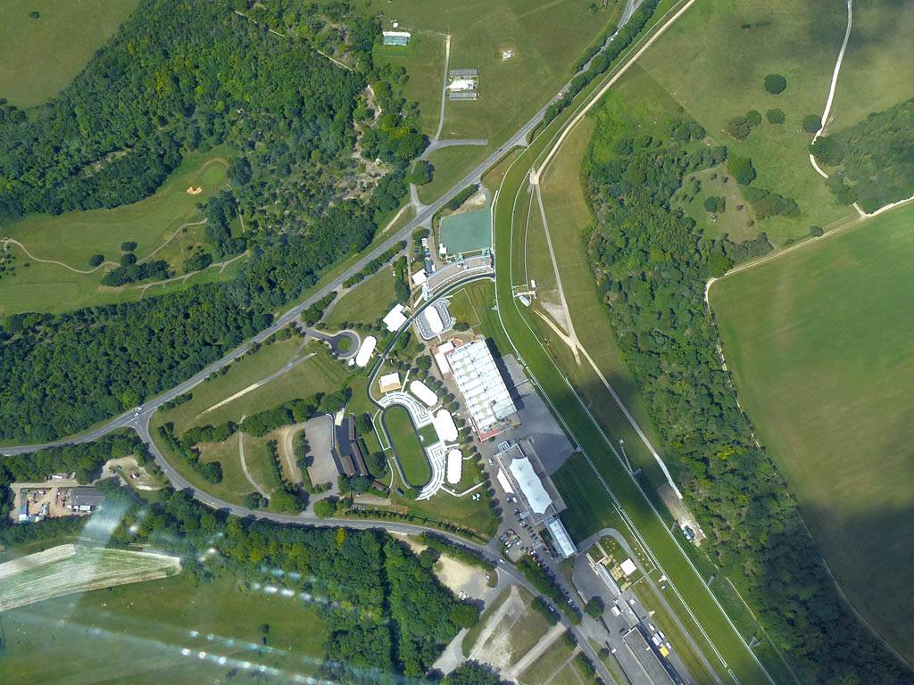
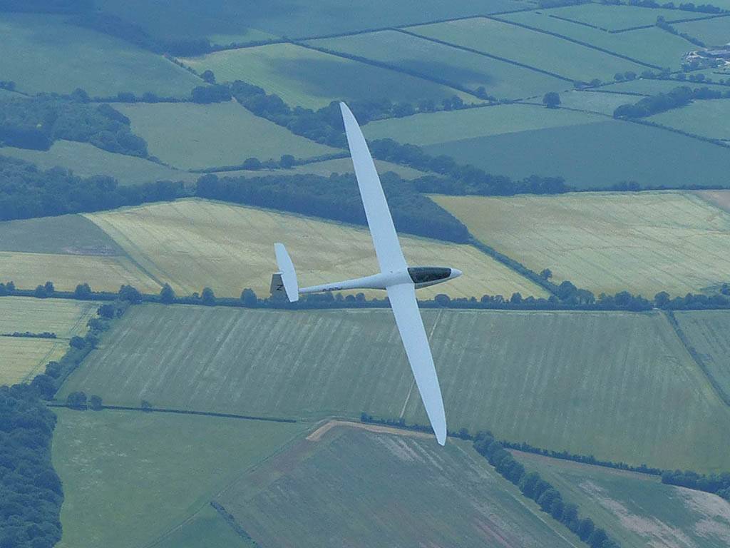
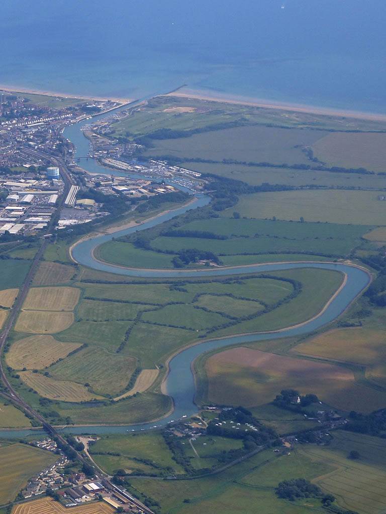
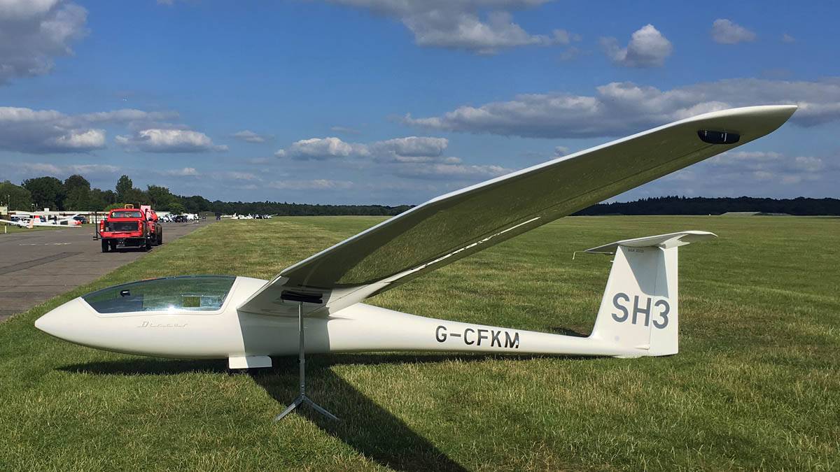
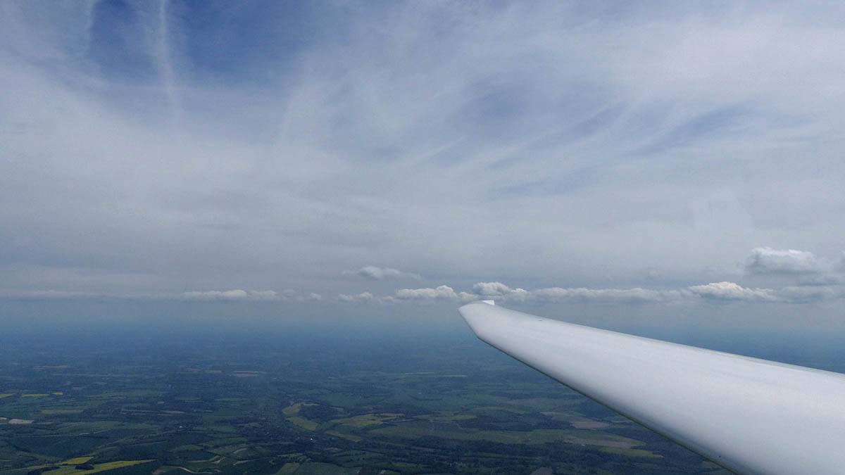
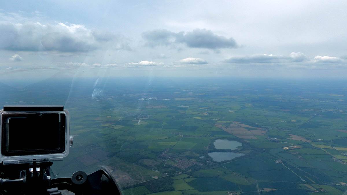
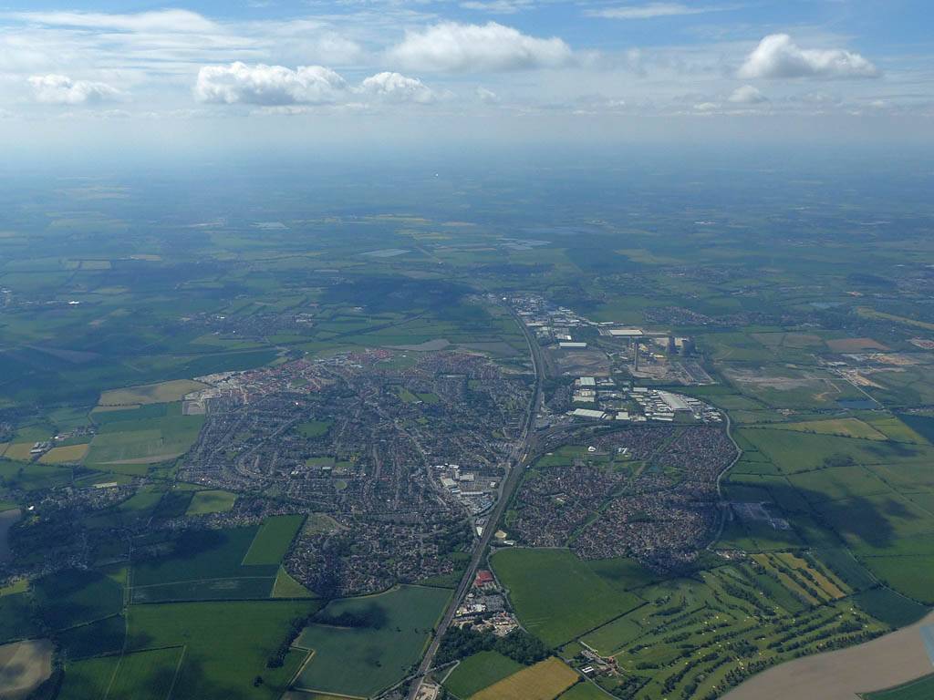
IMG_7783.jpg
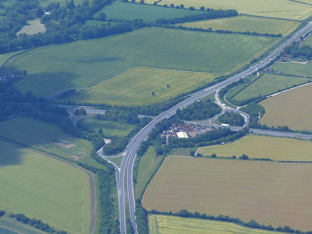
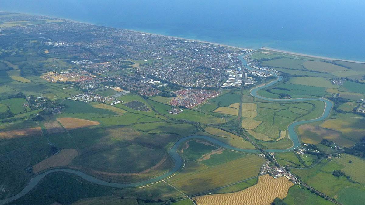
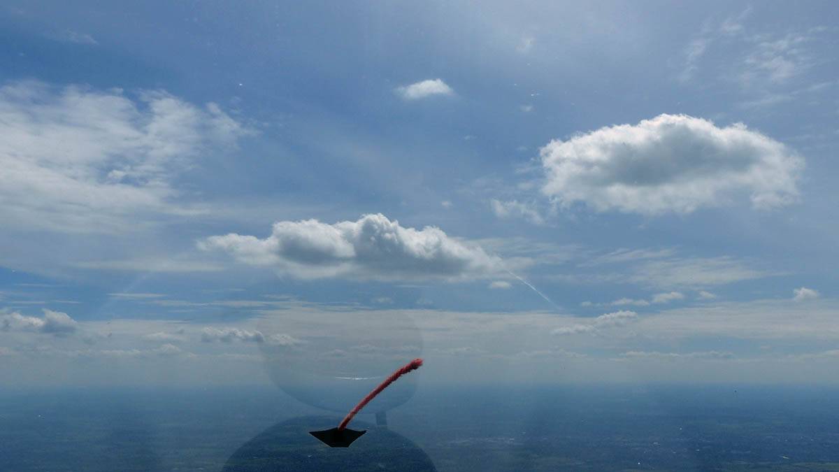
IMG_7791.jpg
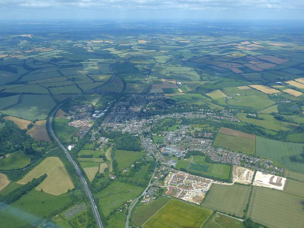
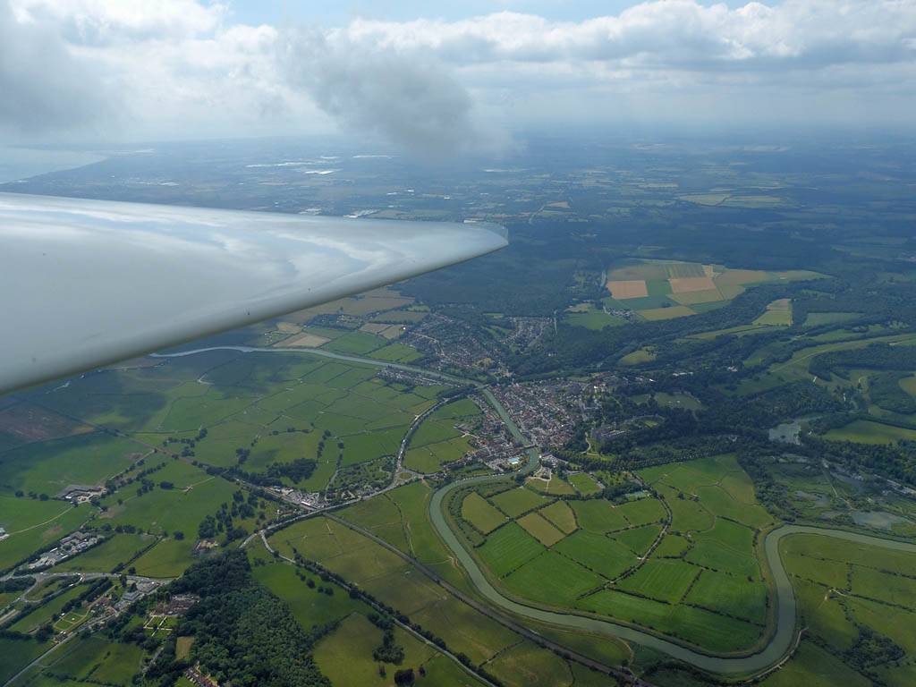
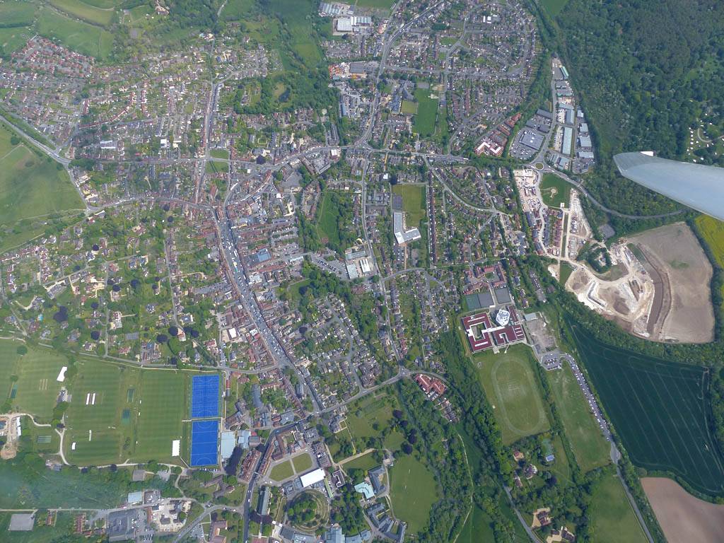
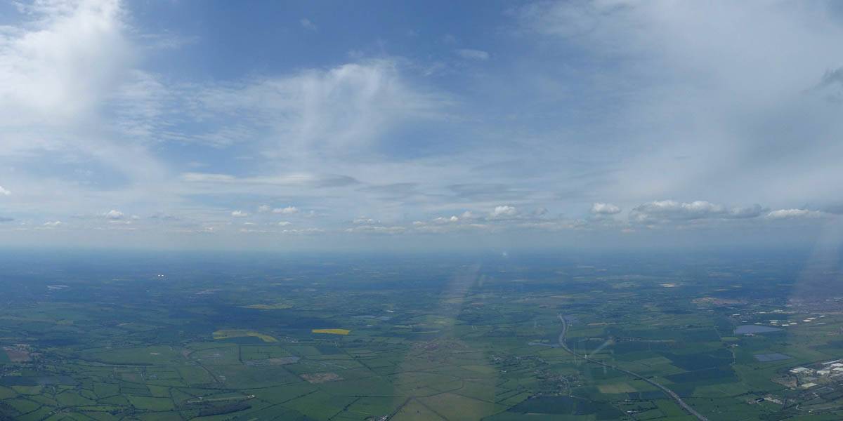
IMG_7789.jpg
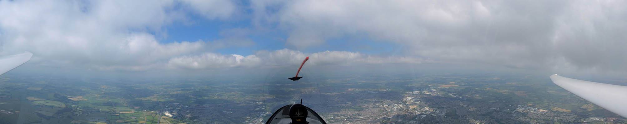
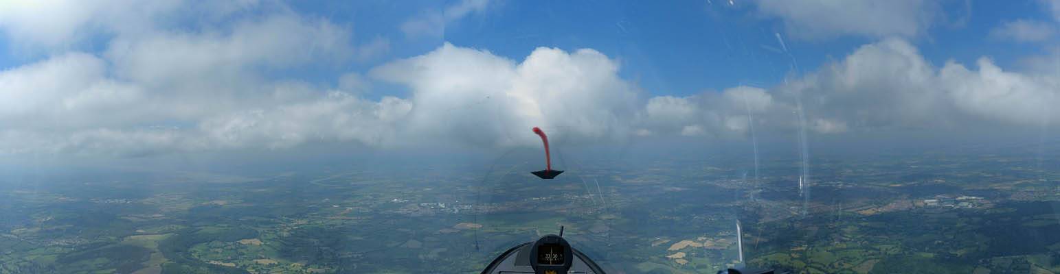
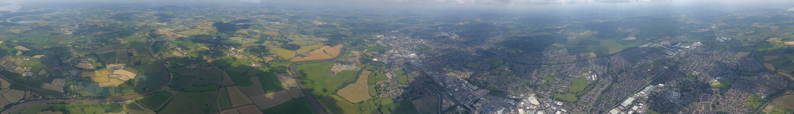
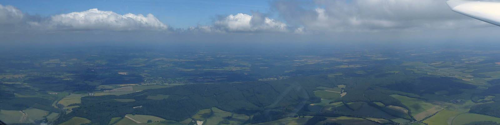
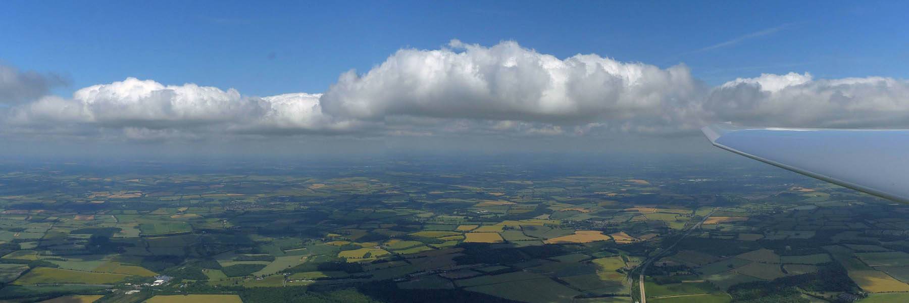
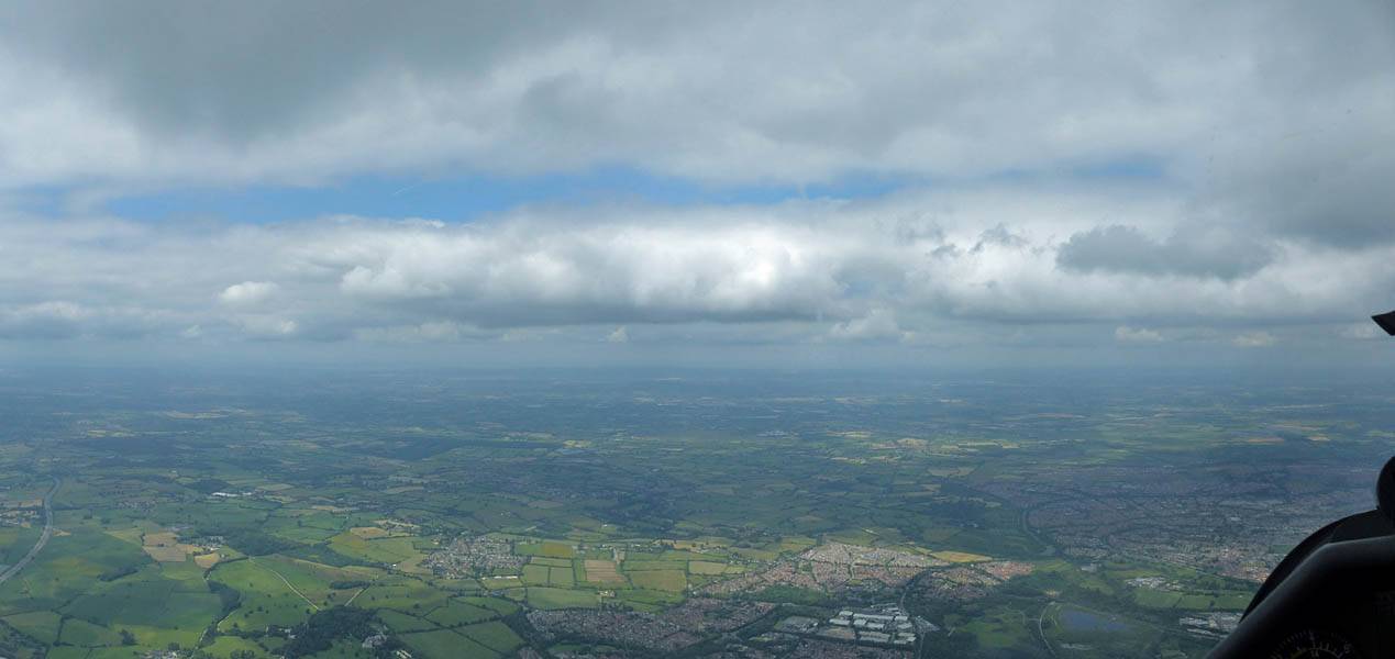
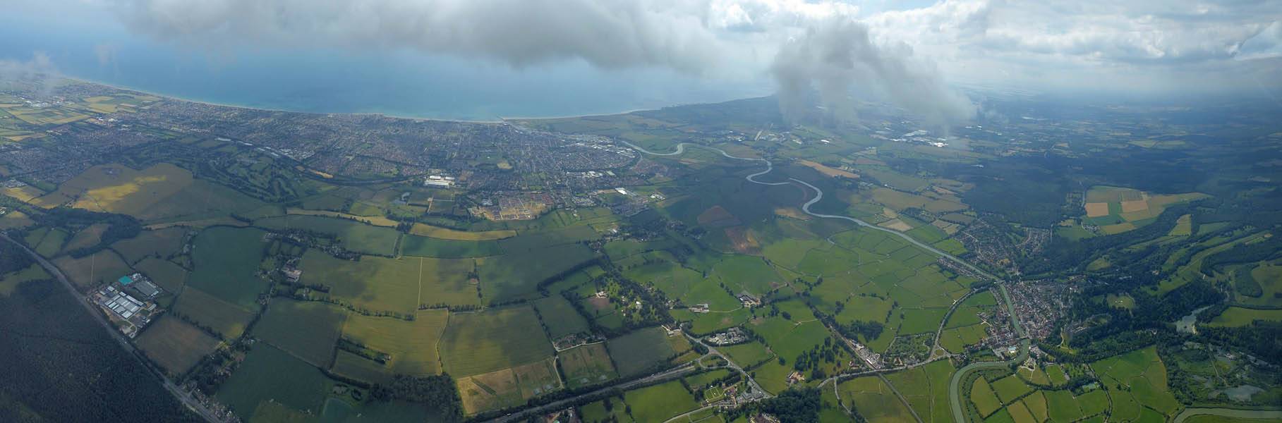
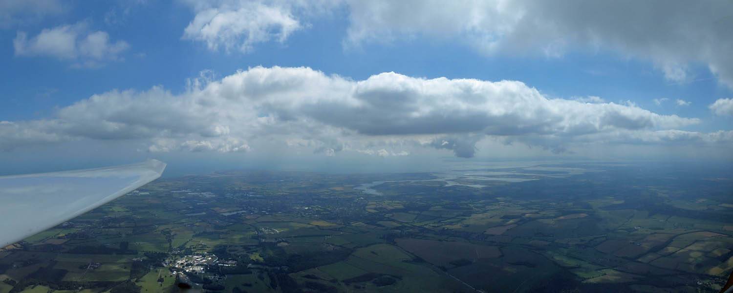
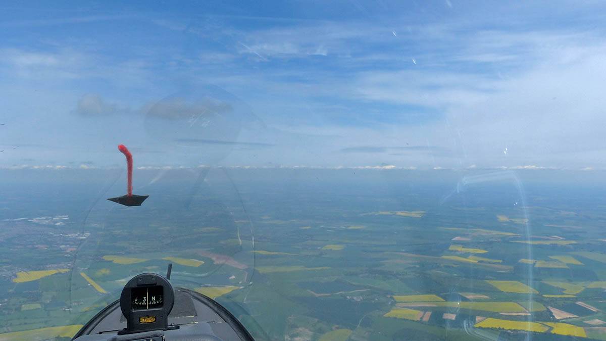
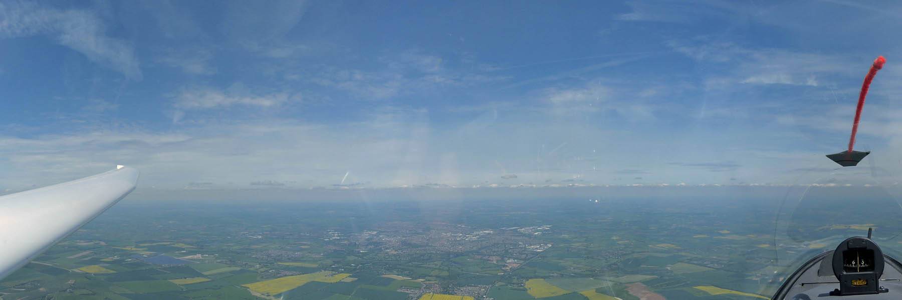
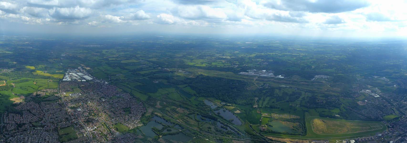
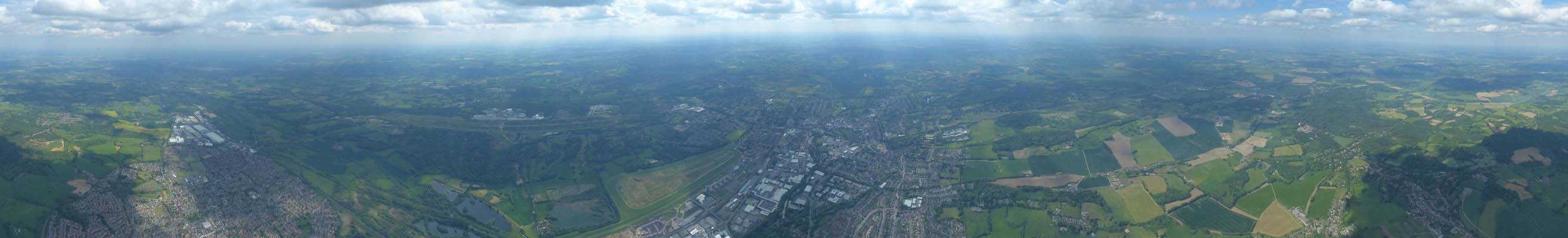
P1450253_260_360Panorama.jpg
Click here to return to the main Pictures index.
Click here to go to my 2019 diary.
Click here to go to the 2018 images.
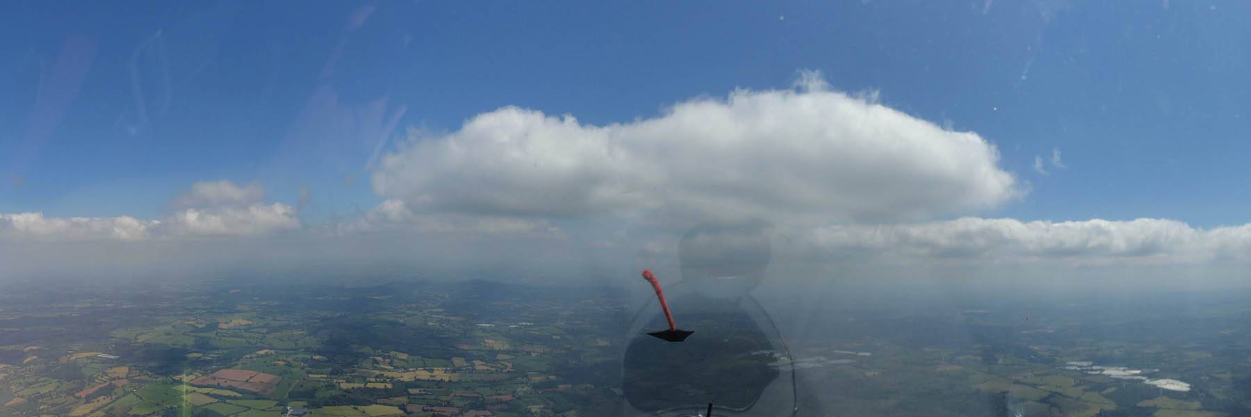
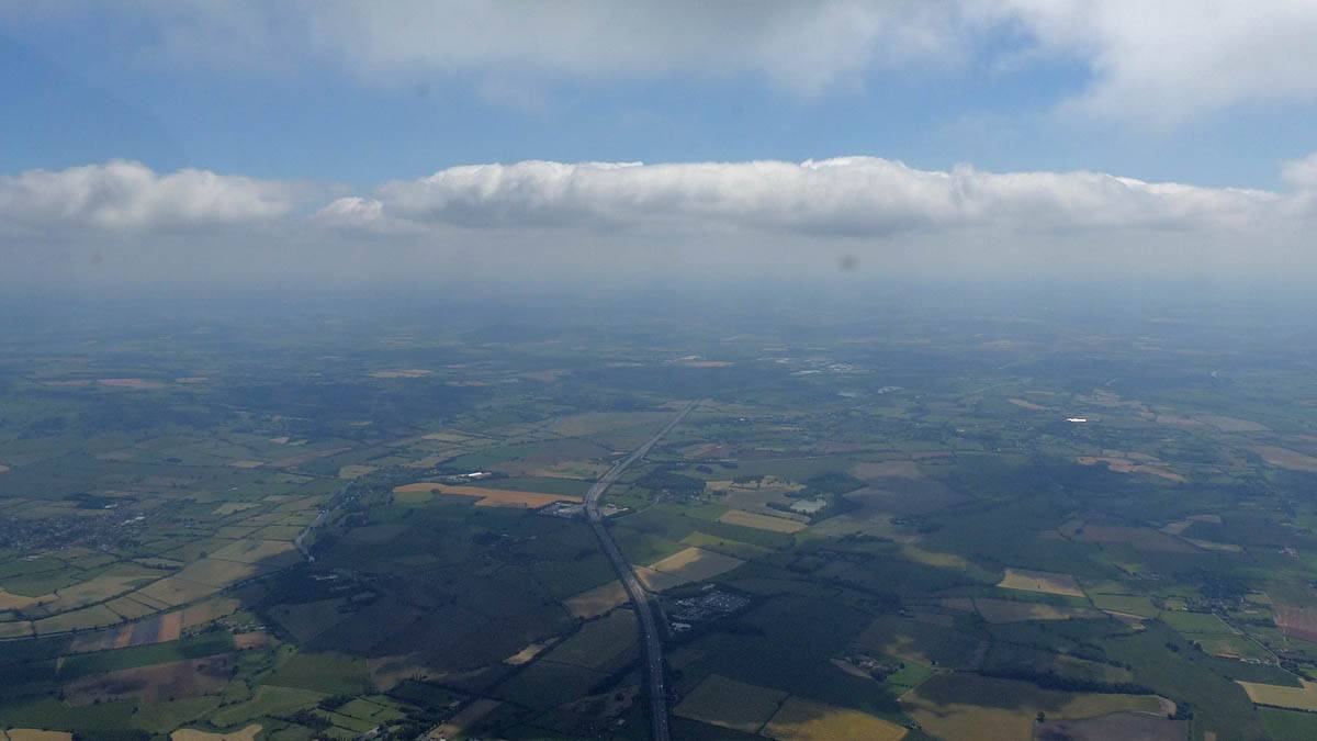
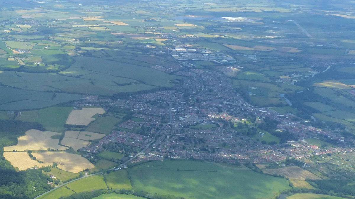
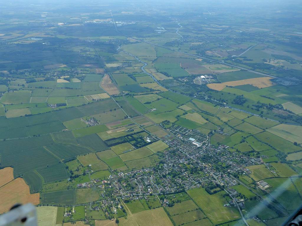
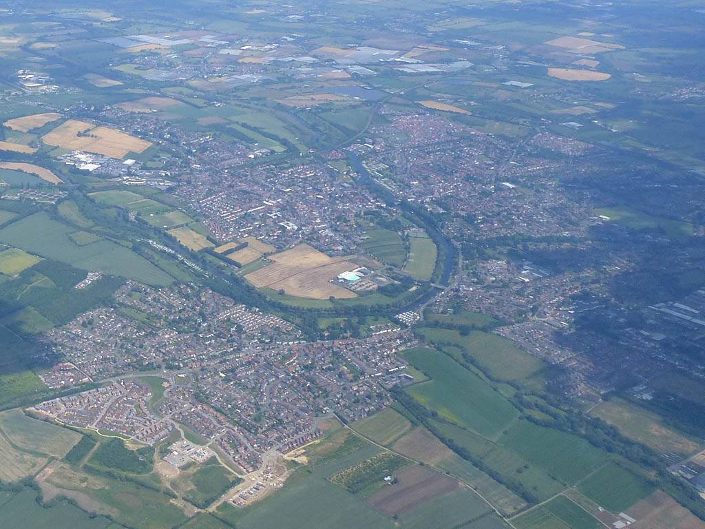
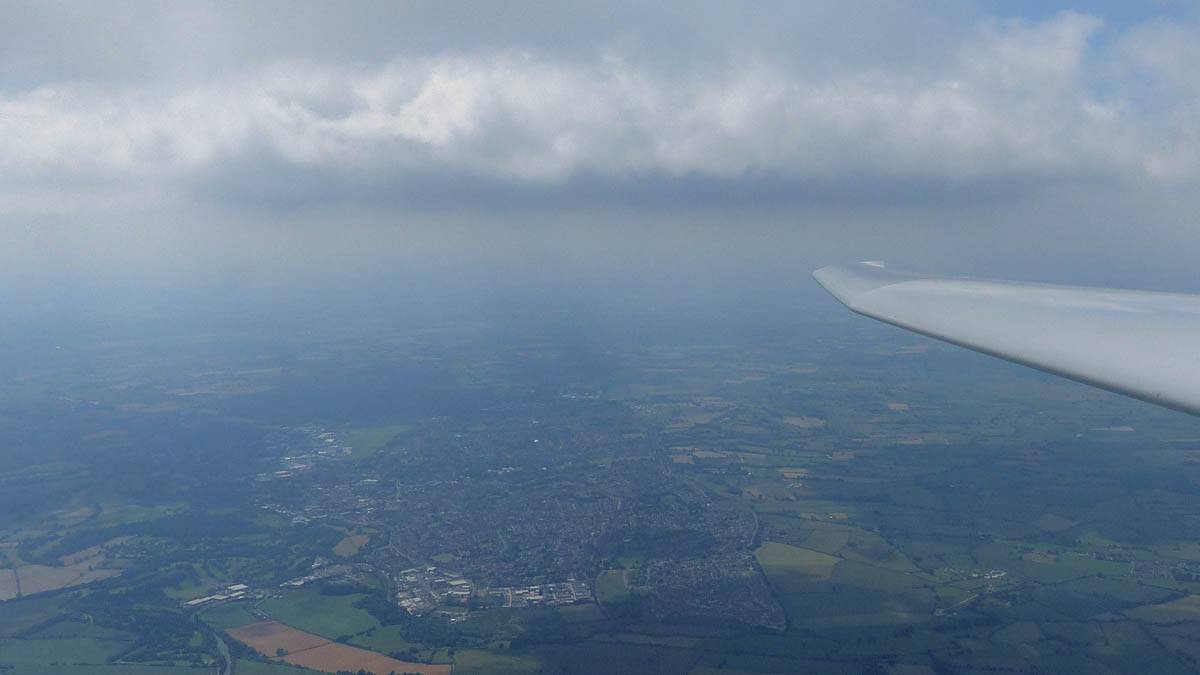
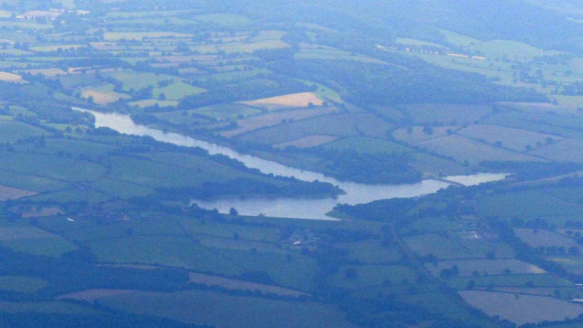
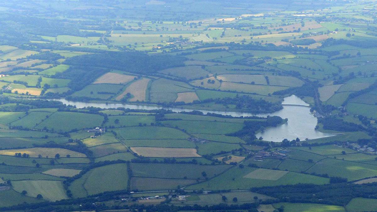
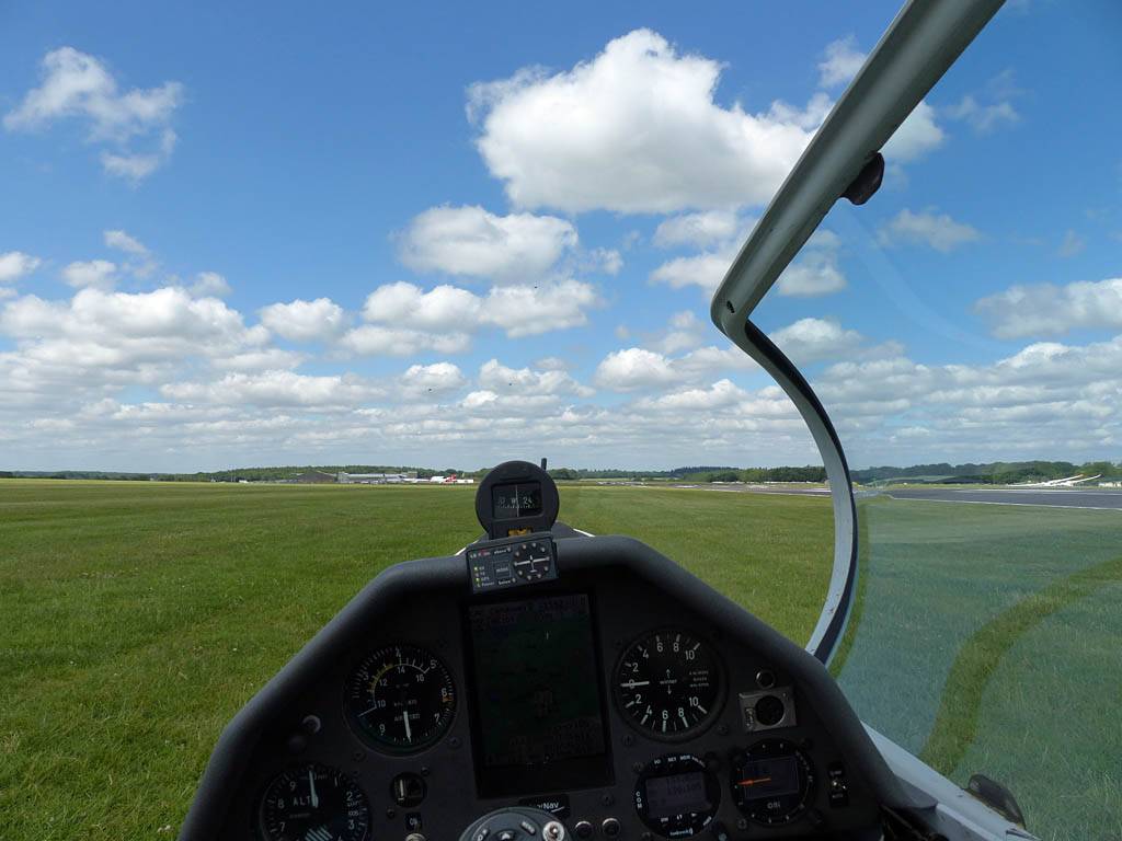
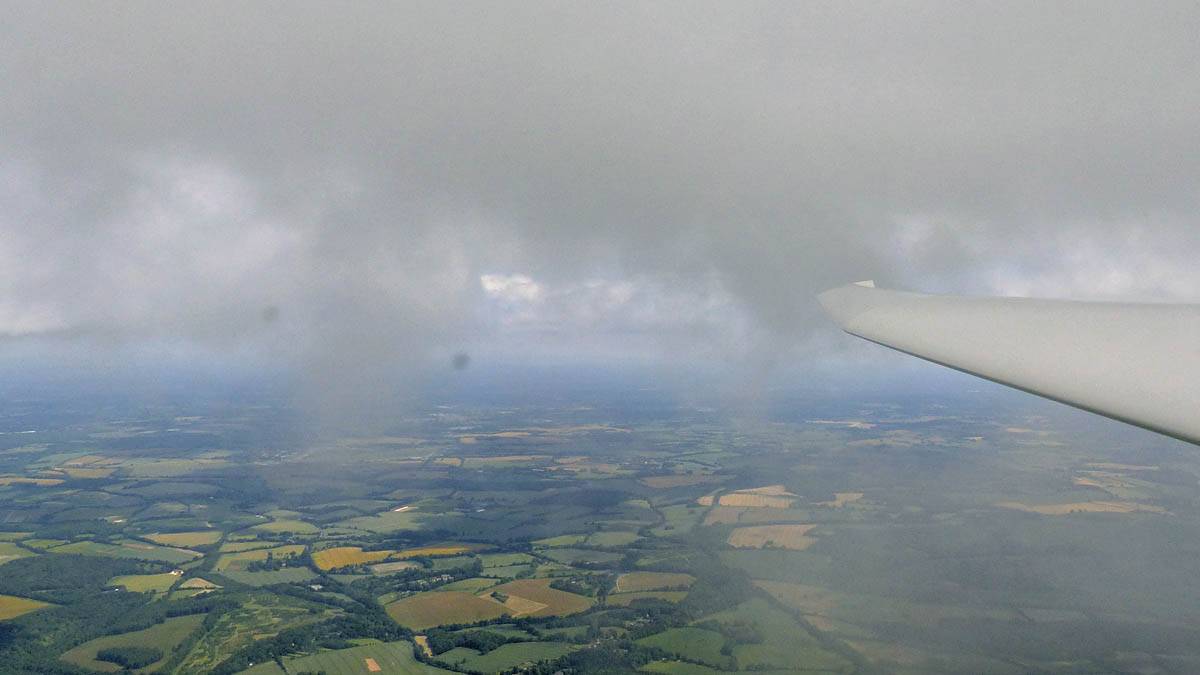
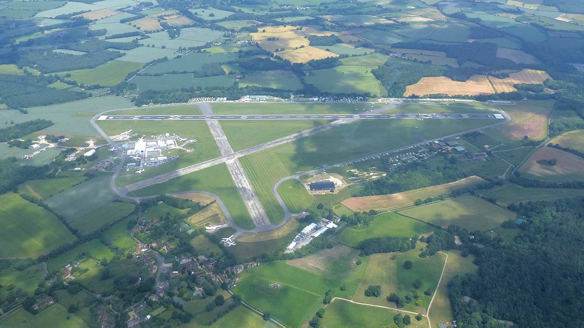
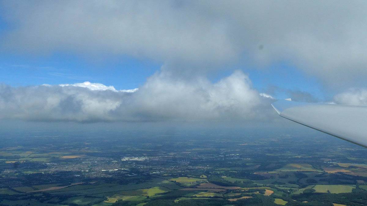
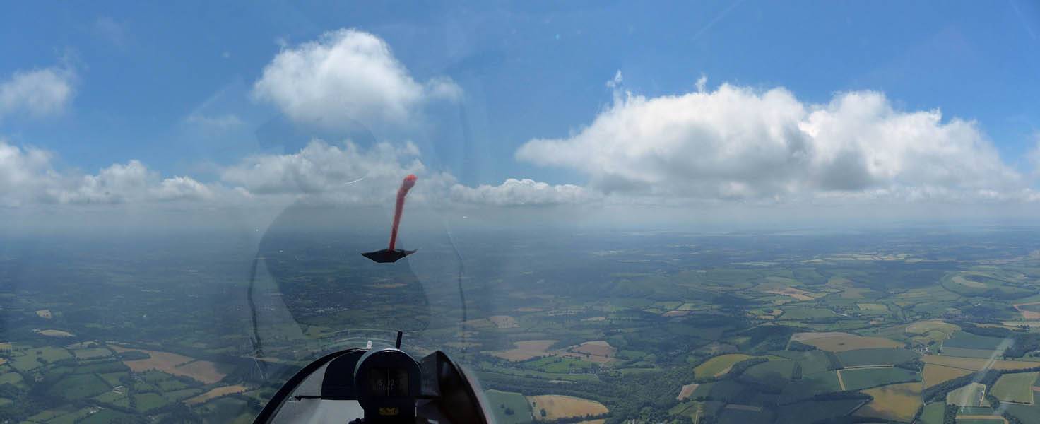
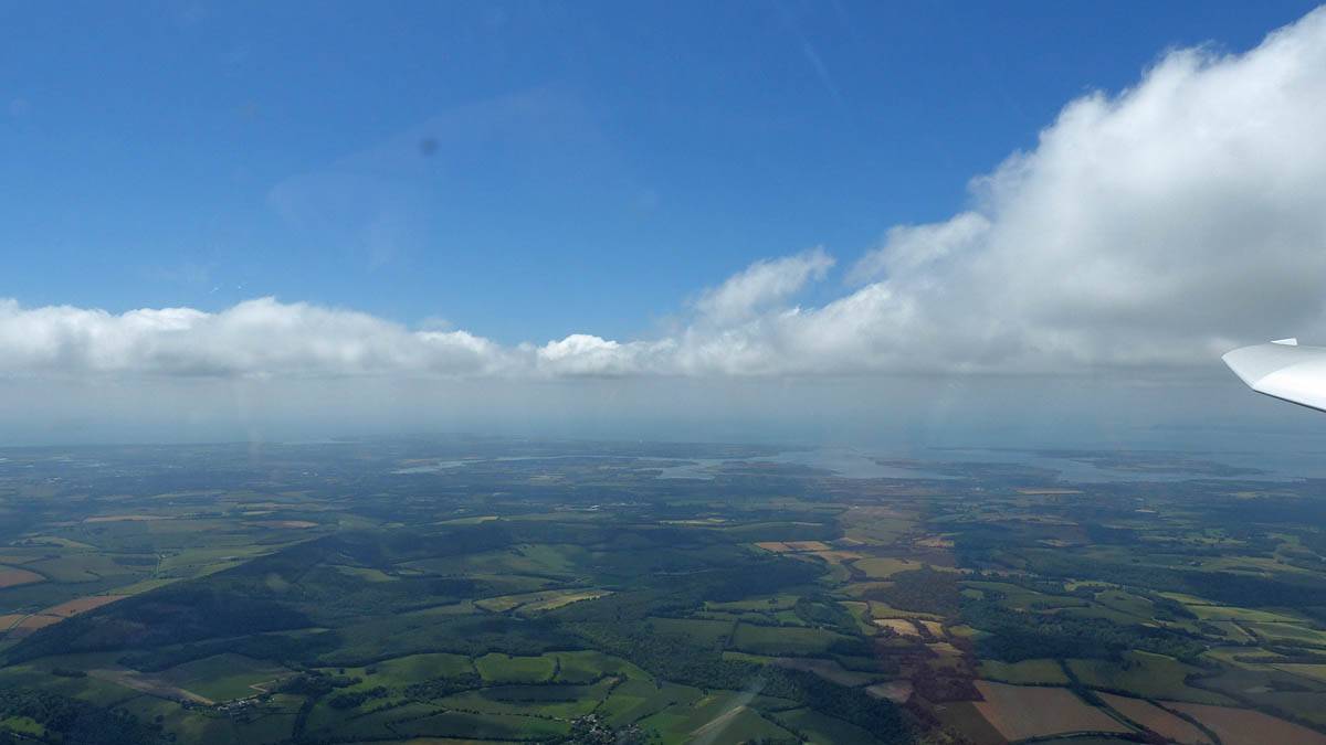
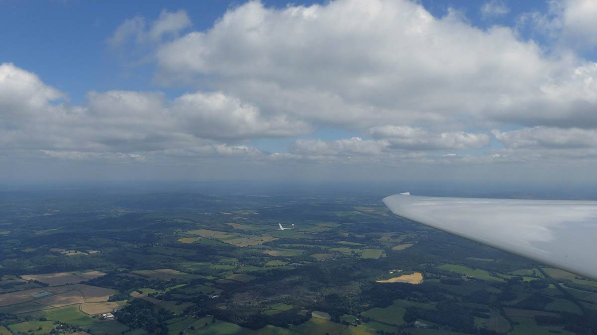
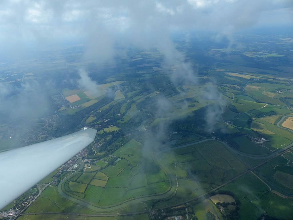
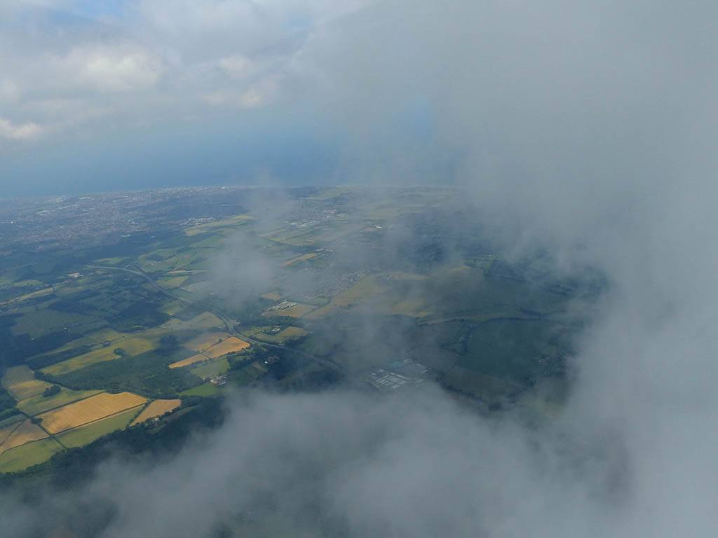
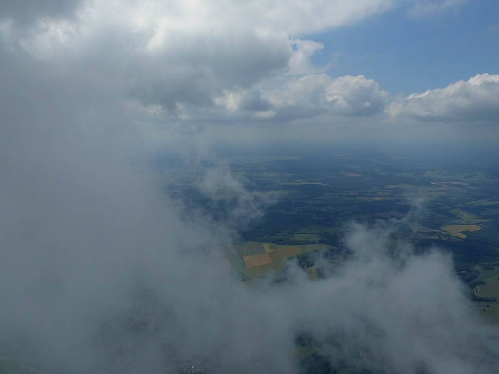
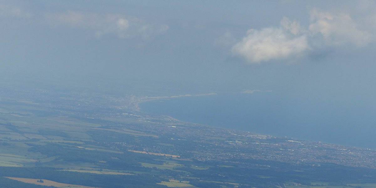
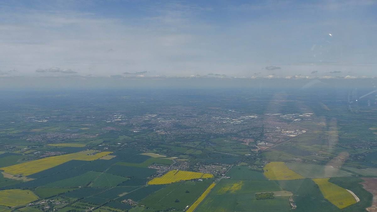
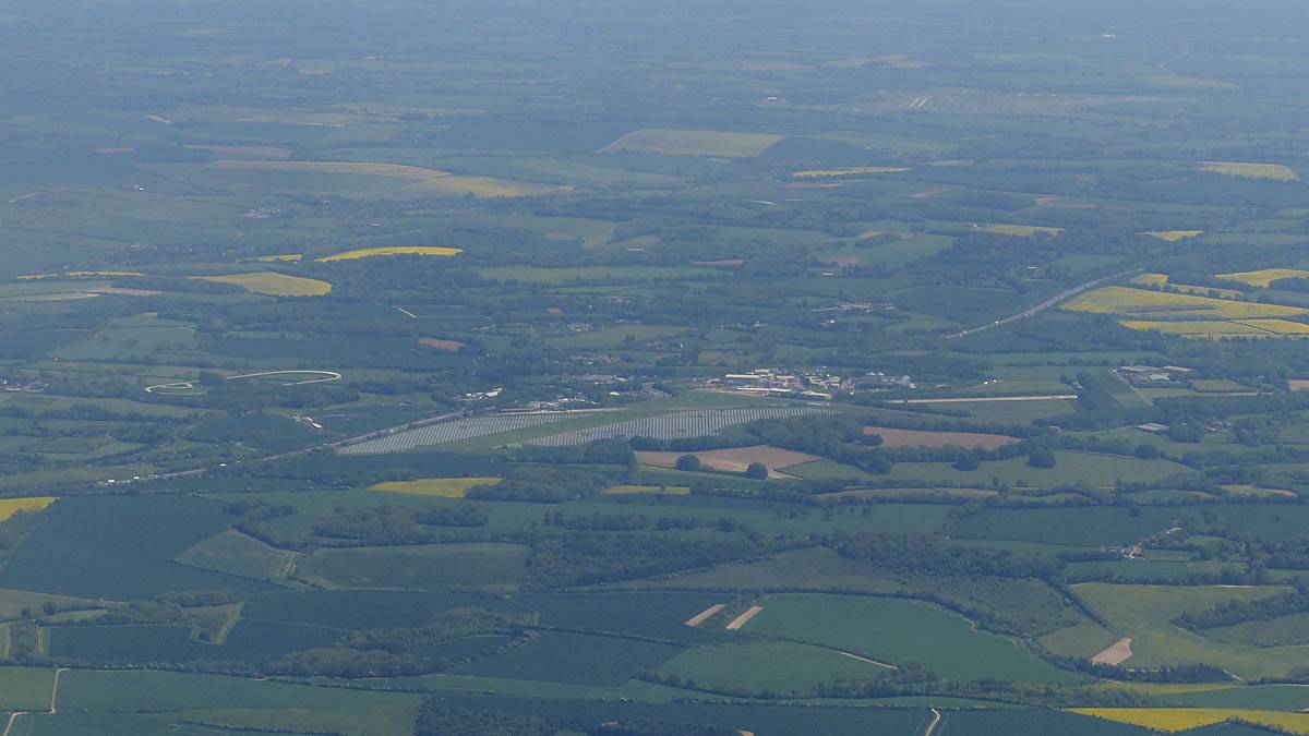
My best ever cross country flight. After yesterday's good flight I did even better today, planning and completing my 2nd ever 500km flight. My first was in 2005 and took me 6 and a half hours. 14 years later, I finally managed another in just over 6 hours. So I was quicker this time, at 82kph. First a nice 156km blast Northwest from Lasham to Hereford. It was a spreadouty start but conditions improved and were lovely over the Cotswolds. Crossing the river Severn was very pretty and despite lower cloudbase up here regular strong climbs saw me reach Hereford easily. Then a 75km Eastwards into wind leg took me over the pictoresque Malvern Hills. Following cloud streets allowed me to make easy progress. Then it was 155km Southwestwards to Melbury Bubb. With a tail wind, higher cloudbase and regular strong climbs I made fast progress. Further South the gaps between thermals increased and the clouds got thinner. At Melbury Bubb I struggled a bit, but enjoyed the view South to the Isle of Portland while I got away again. The last leg was 115km Northeastwards back to Lasham. With weaker conditions, a headwind, very shallow cumulus and big gaps between hard to centre thermals, it was a slow slog getting back. But a climb over Chilbolton to 5200 feet got me in range of Lasham. Then I could start my final glide and dare to start celebrating another 500km flight.
|
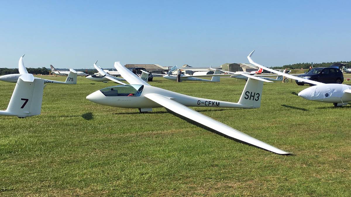
IMG_7783.jpg |
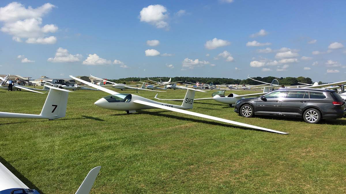
IMG_7791.jpg |
IMG_7789.jpg |
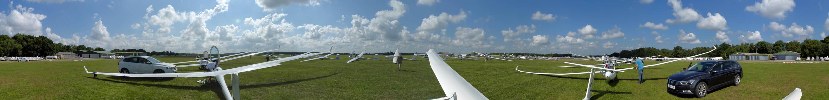
P1450253_260_360Panorama.jpg |
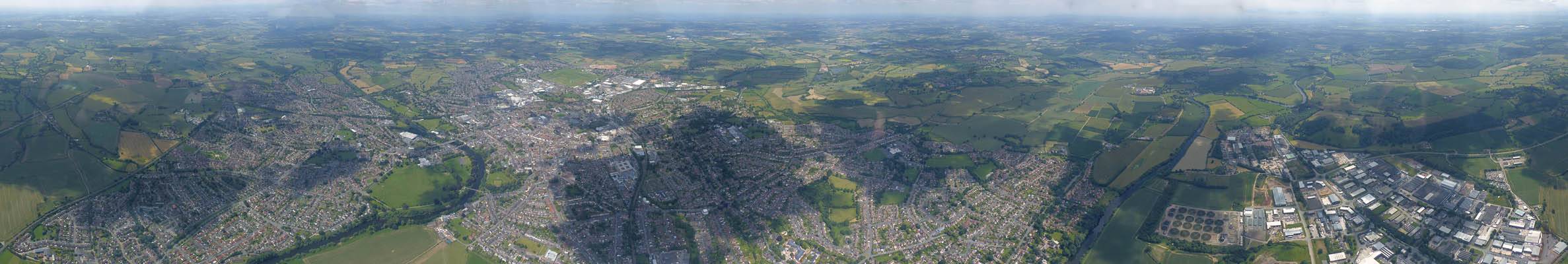
| SH3 in the grid on 09 right next to its trailer. | A wider view of the grid. SH3 is the 6th glider back. | 360 degree panorama of the grid from by SH3 as people get ready to fly. | |
 P1450262.jpg |
 P1450264.jpg |
 P1450265.jpg |
 P1450271.jpg |
 P1450273.jpg |
 P1450276.jpg |
| Cumulus popping nicely above us as the grid prepares to start launching. | A tug preparing to launch the glider 3 rows in front of me. | Uniform Delta coming to tow me into the air. | Uniform Delta dropped me into a nice thermal that took me straight to a spreadouty cloudbase. | Flirting with the clouds early in the flight. | Lasham from the Southwest as I set off Northwestwards. The back half of the grid can be seen still waiting to launch, along with the winch queue on the main runway. |
 P1450283_284_Panorama.jpg |
 P1450285.jpg |
 P1450287.jpg |
 P1450290_292_Panorama.jpg |
 P1450299.jpg |
 P1450300.jpg |
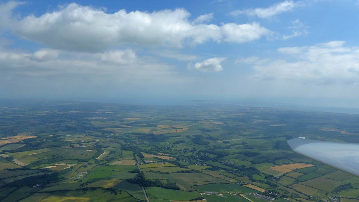
| Congested cumulus as early spreadout forms but doesn't stop me making good early progress with regular good thermals. | Passing the Newbury South turnpoint, at the Tot Hill Services on the A34. | A rather pretty spreadout cloud with a classic cotton wool look to it. And still with a good thermal under it. | Going up the side of a cloud over Swindon. | ||
 P1450302.jpg |
 P1450304_308_Panorama.jpg |
 P1450310.jpg |
 P1450312.jpg |
 P1450316.jpg |
 P1450321.jpg |
| Going up the side of a cloud over Swindon. | 180 degree panorama as I head Northwest over Swindon to less spreadout and improving conditions. | Better photos of Blakehill Farm in much better conditions than when I was here yesterday. | South Cerney Airfield from the South-Southwest. | Cotswold Airport, Kemble Airfield from the East-Northeast. | |
 P1450322_324_Panorama.jpg |
 P1450341.jpg |
 P1450342_344_Panorama.jpg |
 P1450351_356_Panorama.jpg |
 P1450357.jpg |
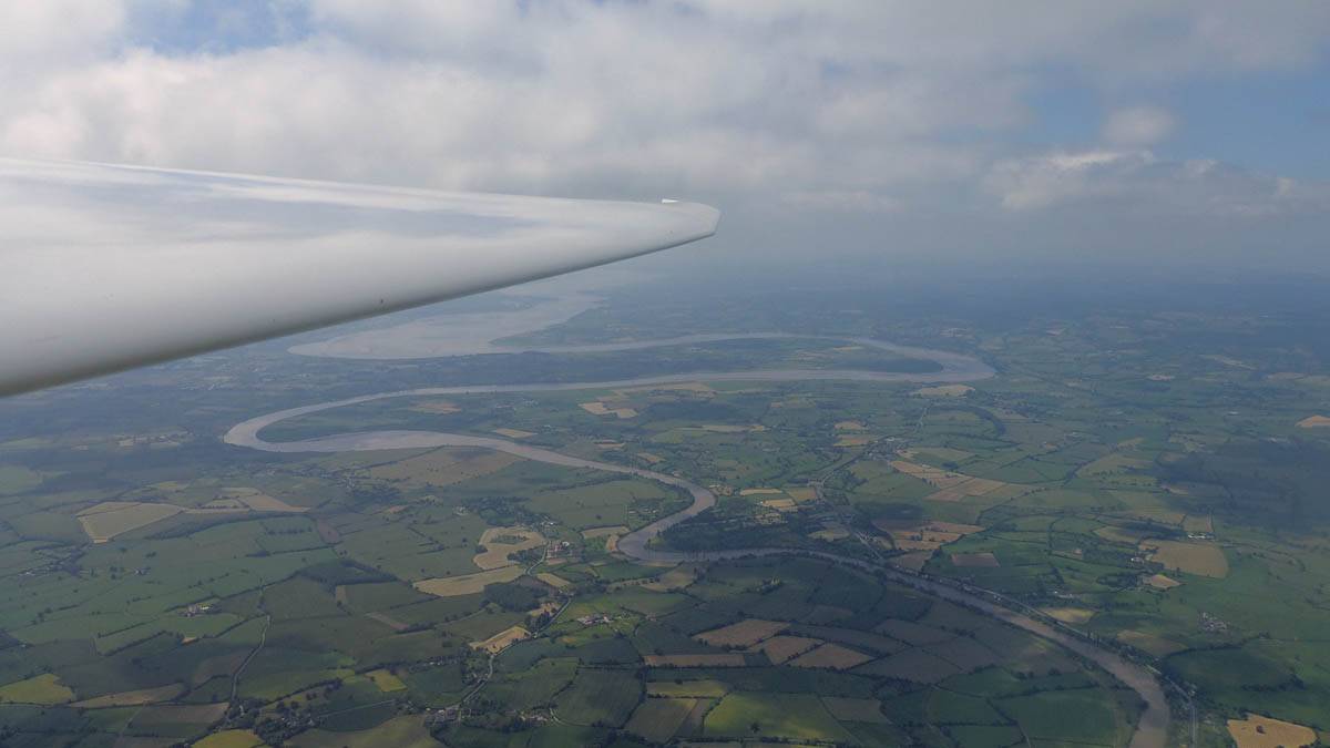
| Cirencester from the Southwest. | Smaller clouds but nice conditions as I head over the Cotswolds. | The River Severn from near Gloucester. The Severn Bridges are just barely visible in the distance through the haze. | ||
 P1450358_359_Panorama.jpg |
 P1450360_372_360Panorama.jpg |
 P1450374.jpg |
 P1450375.jpg |
 P1450379.jpg |
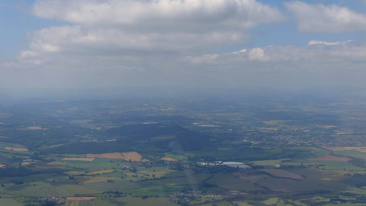
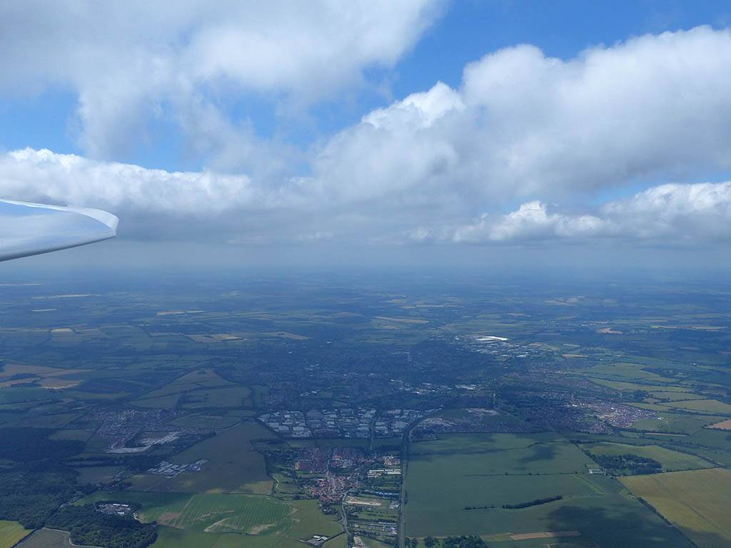
| The River Severn from near Gloucester. | 360 degree panorama over Gloucester as I soar over the River Severn. | Crossing the River Severn at Gloucester. | Continuing Northwest towards Herefordshire. | The Malvern Hills are visible to my right. |
 P1450381.jpg |
 P1450386.jpg |
 P1450389_390_Panorama.jpg |
 P1450391_399_360Panorama.jpg |
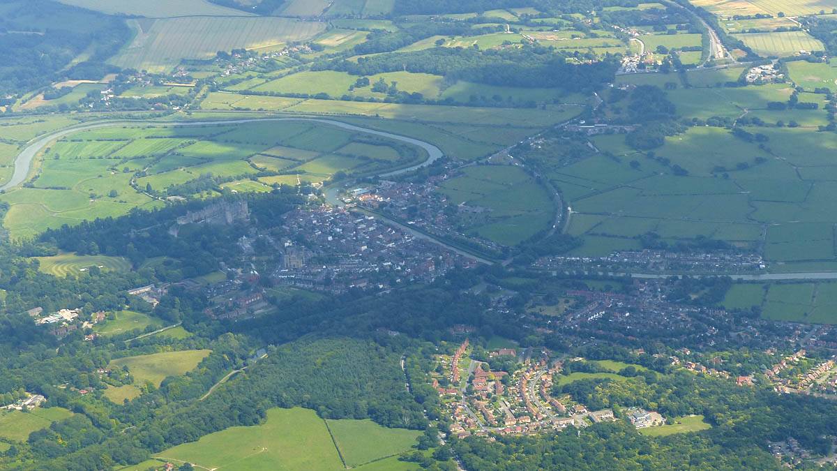
 P1450401.jpg |
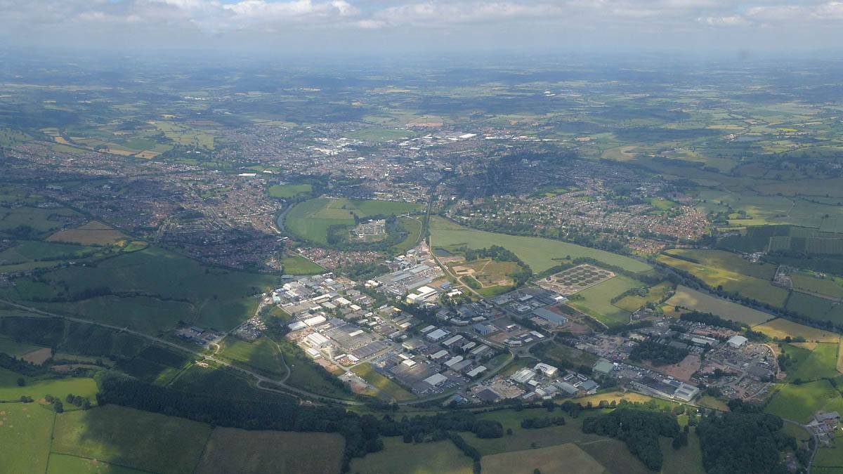
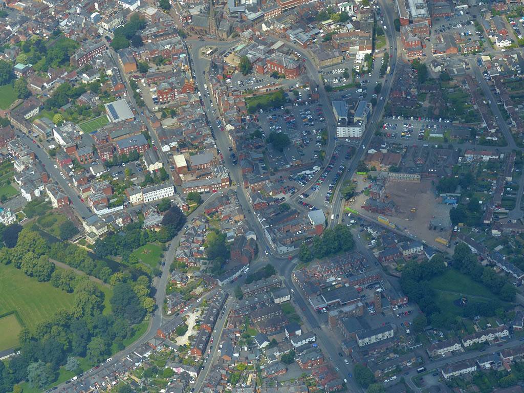
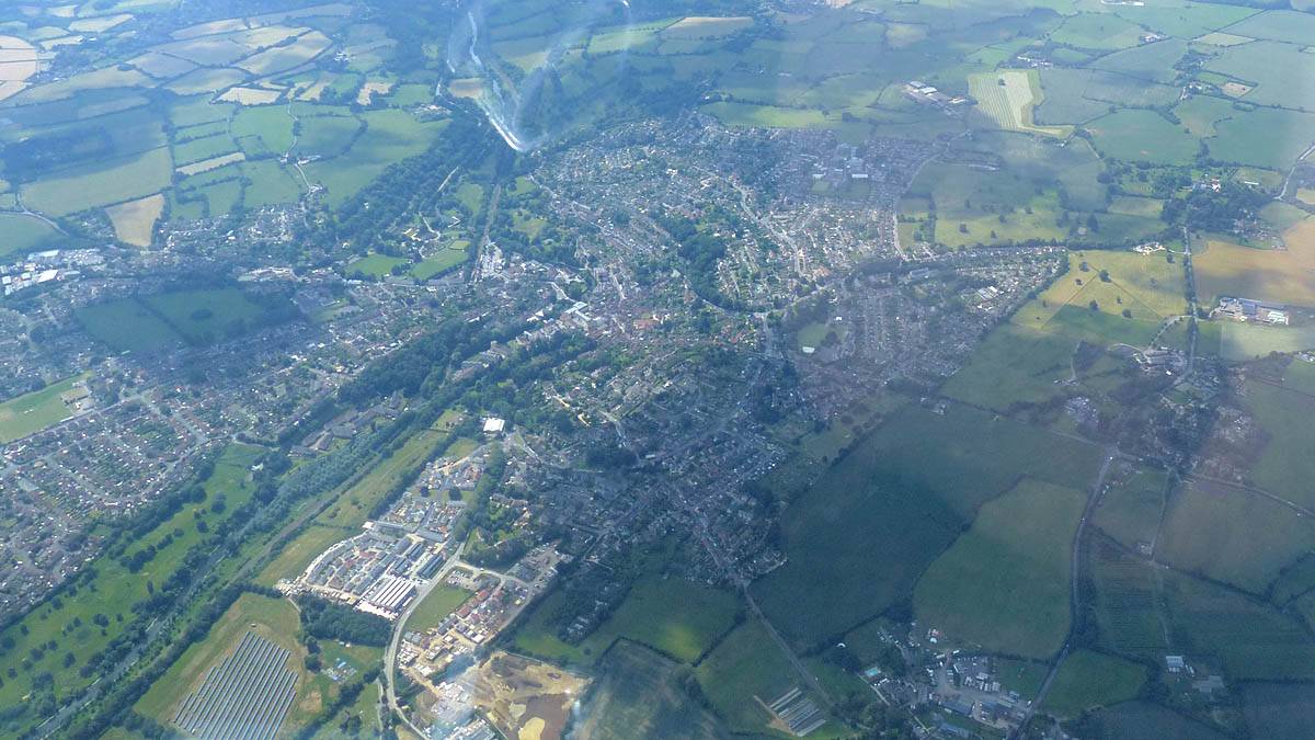
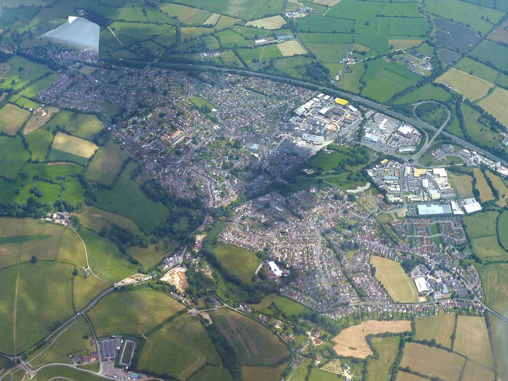
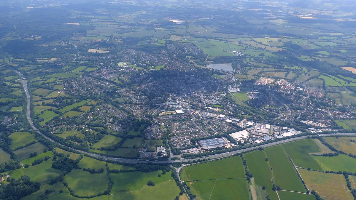
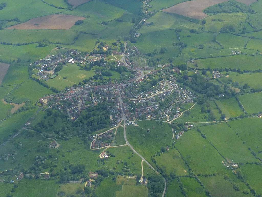
| Ross-on-Wye from the East-Northeast. | Approaching Hereford from the Southeast. | 360 degree panorama over Hereford. | Looking up St. Owen's Street from the Southeast. St. Peter's Church is at the top. Below and to the right over the junction is Hereford Crown Court. The park to the bottom left is Castle Green. Hereford Cathedral is off frame to the left. | |
 P1450403.jpg |
 P1450405.jpg |
 P1450406.jpg |
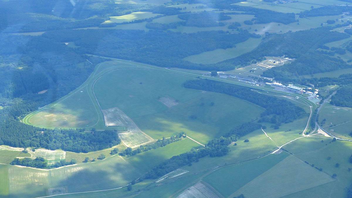
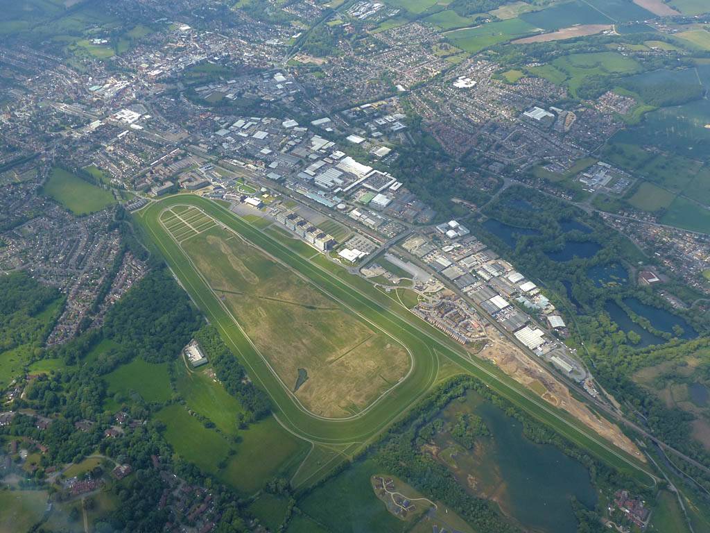
 P1450409_410_Panorama.jpg |
 P1450415_418_Panorama.jpg |
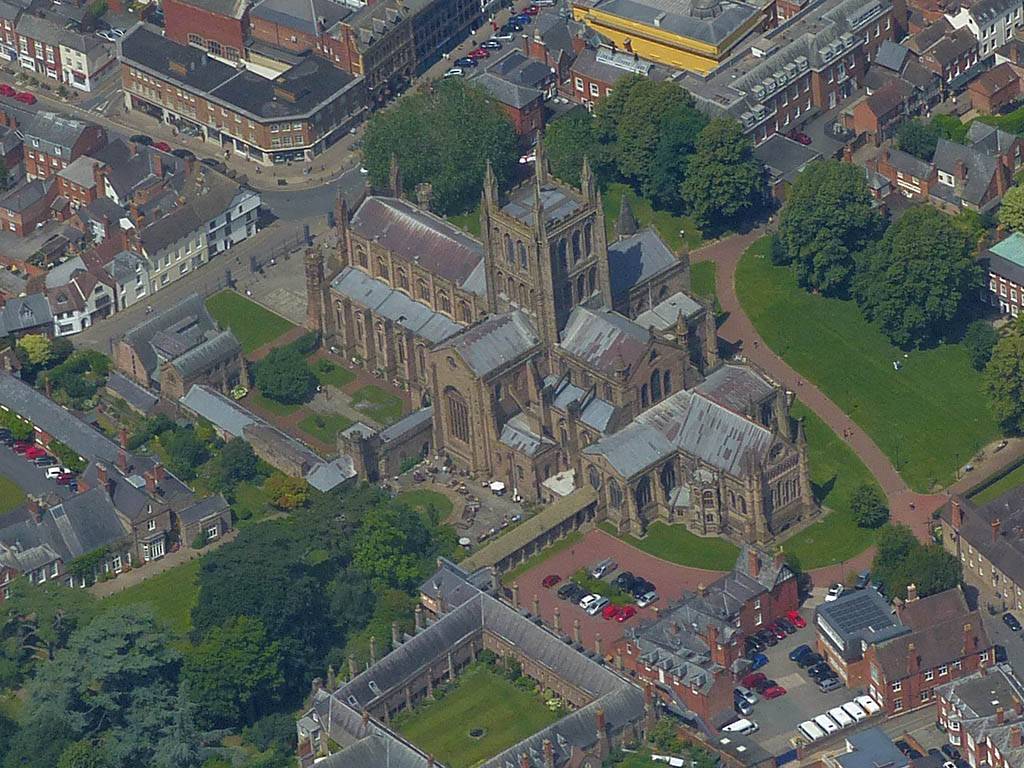
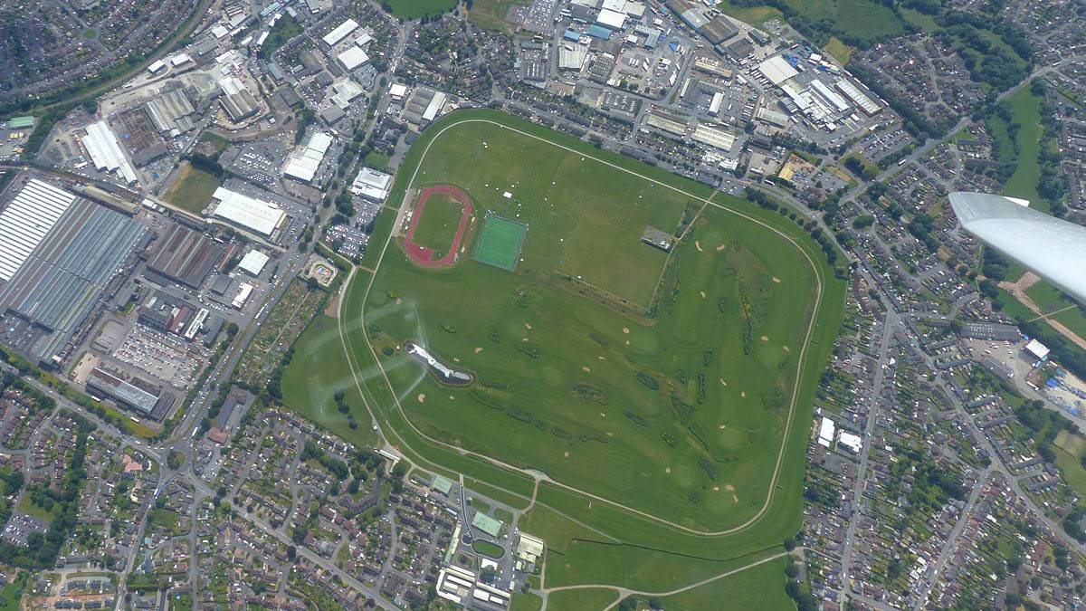
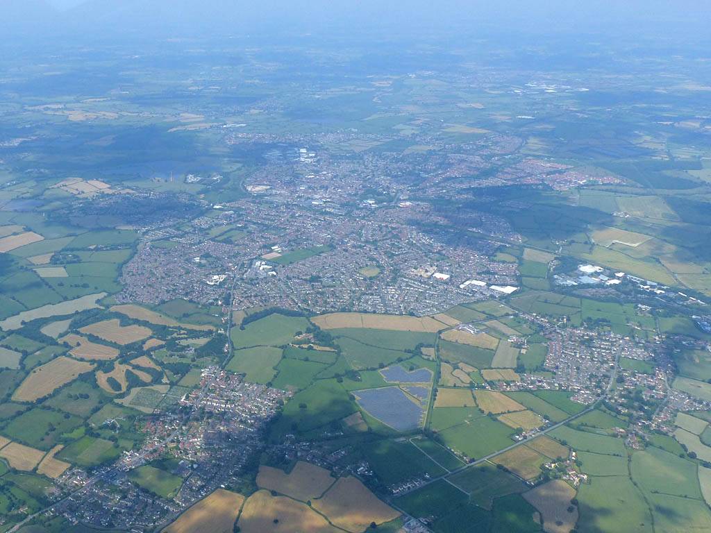
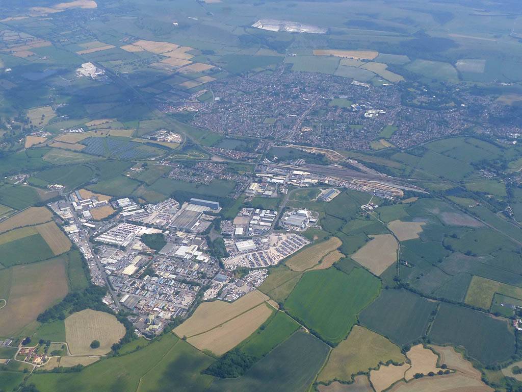
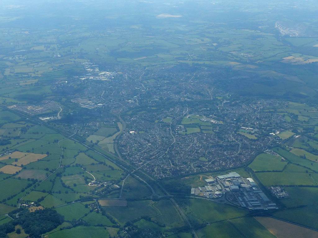
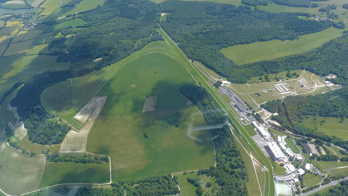
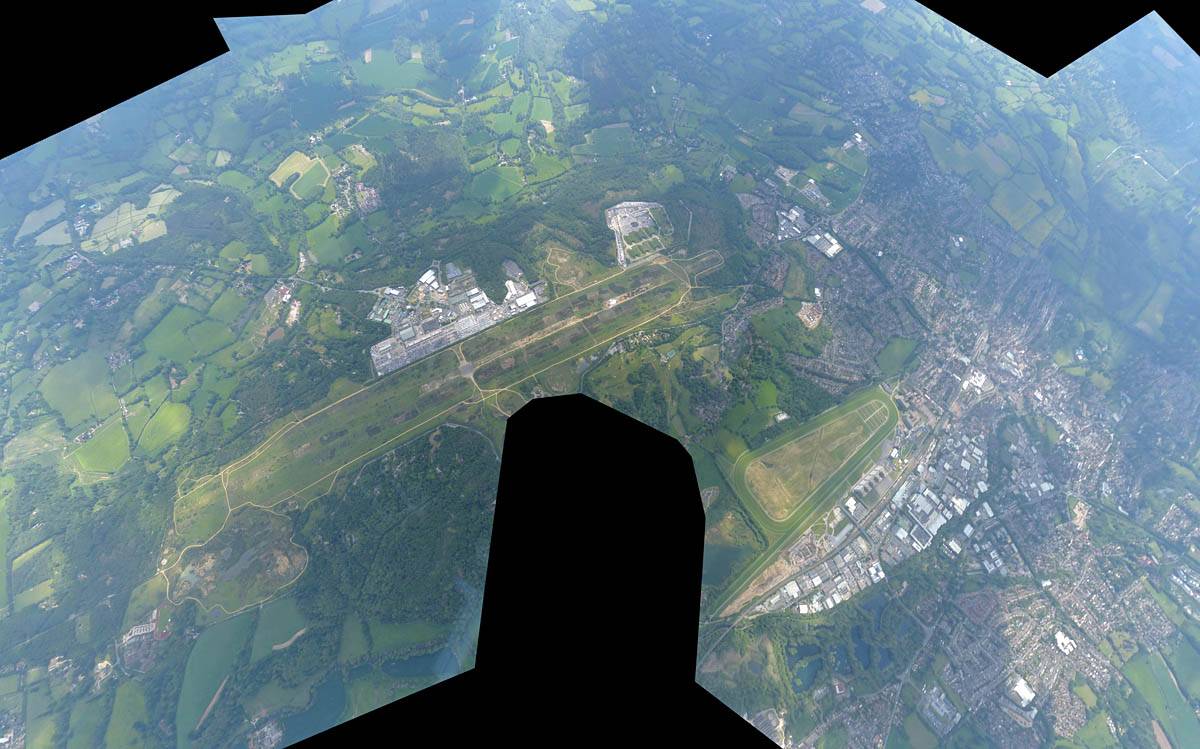
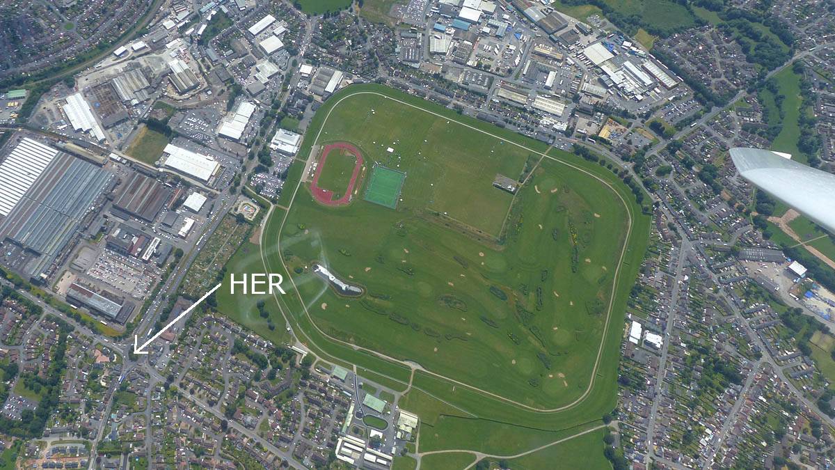
| Hereford Cathedral from the Southeast. | Looking across Hereford from the Cathedral to the Racecourse. | A strong thermal over the centre of Hereford. | Turning Hereford Racecourse. Click here for an annotated version of this picture. | Heading East from Hereford towards the Malvern Hills. |
 P1450430.jpg |
 P1450432.jpg |
 P1450435.jpg |
 P1450436.jpg |
 P1450438.jpg |
 P1450439.jpg |
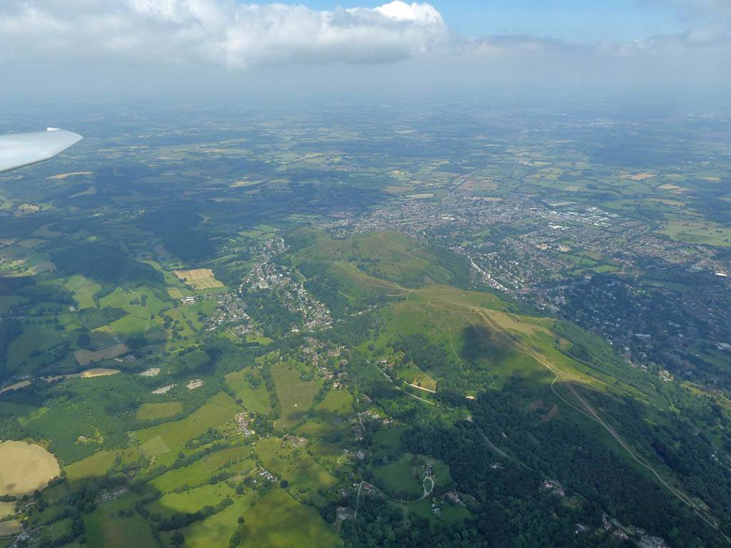
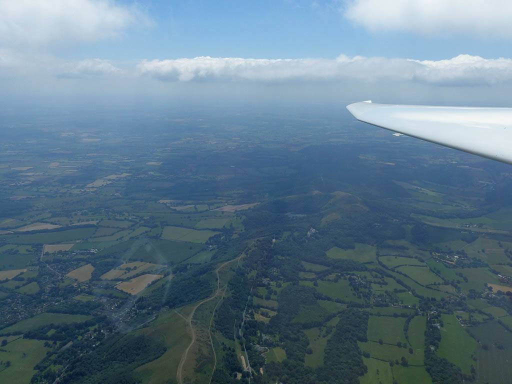
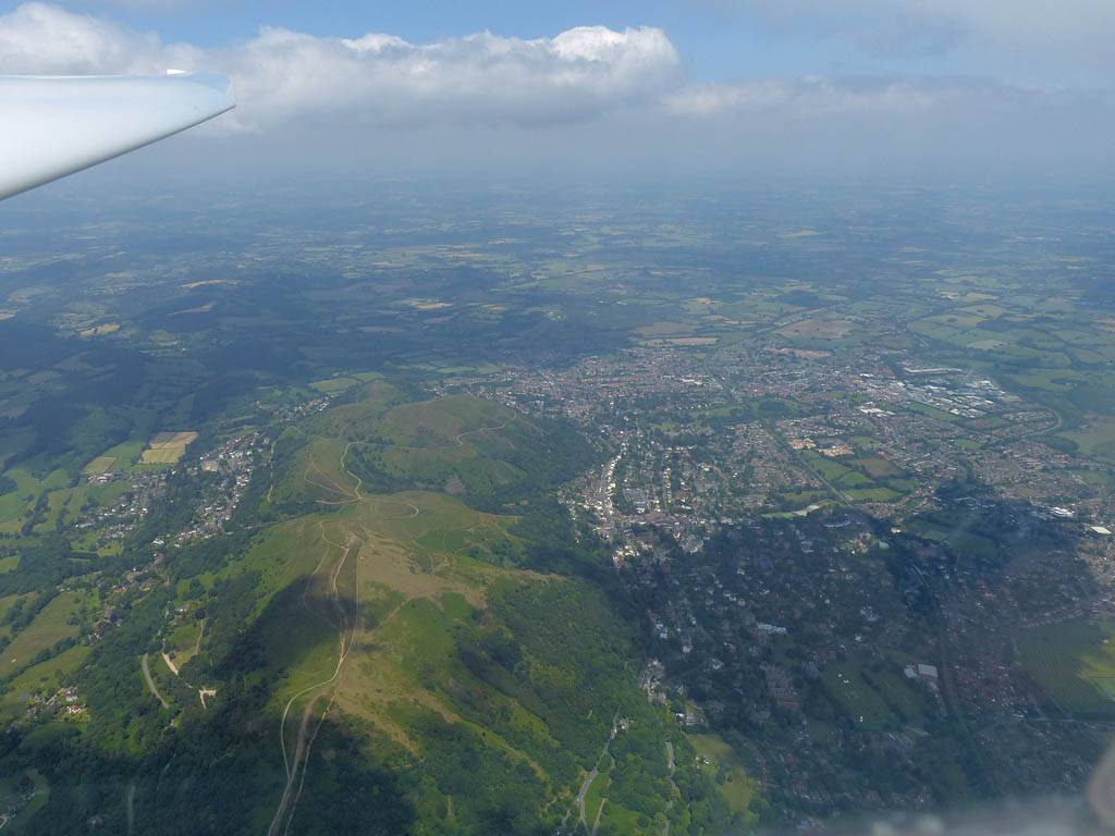
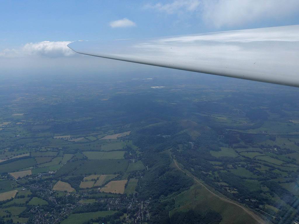
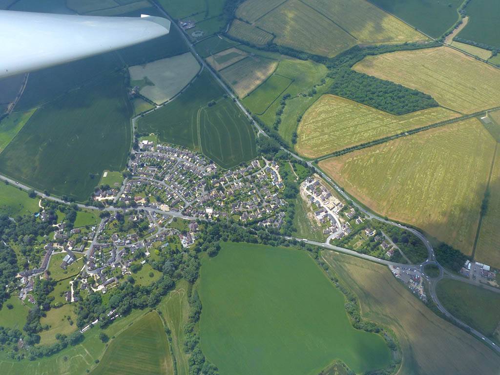
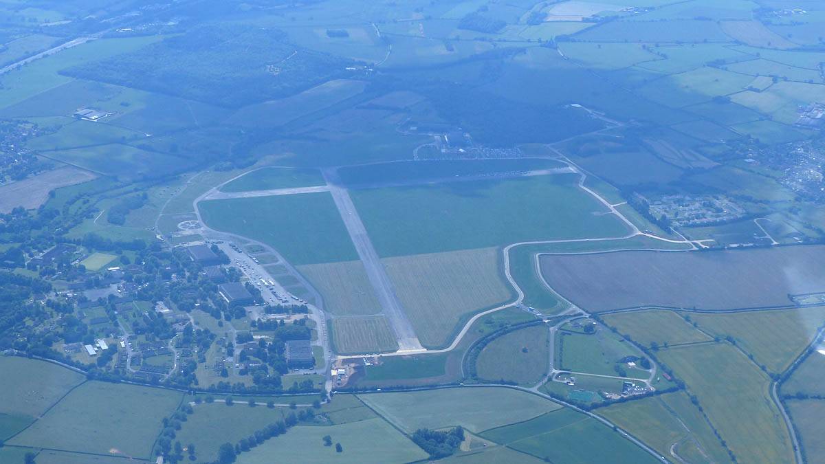
| Looking North and South along the ridge of the Malvern Hills as I approach from the West. Great Malvern on the North side of the hills. | Looking North to Great Malvern and South along the ridge just after I cross the ridge and cross from Herefordshire into Worcestershire. | Looking Northwards along the M5 to Worcester. | The disused Defford Aerodrome from the West. Besford in the background. Croft Farm Airstrip to the right. | ||
 P1450440.jpg |
 P1450442.jpg |
 P1450443.jpg |
 P1450452.jpg |
 P1450454.jpg |
 P1450455.jpg |
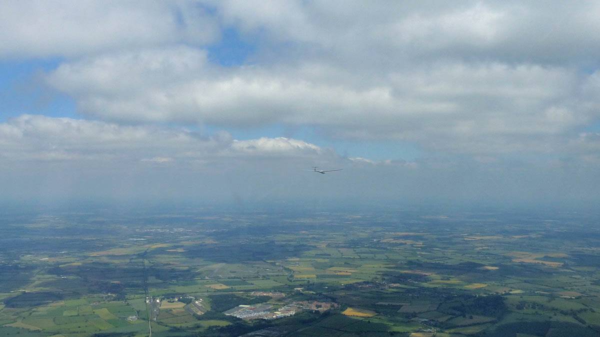
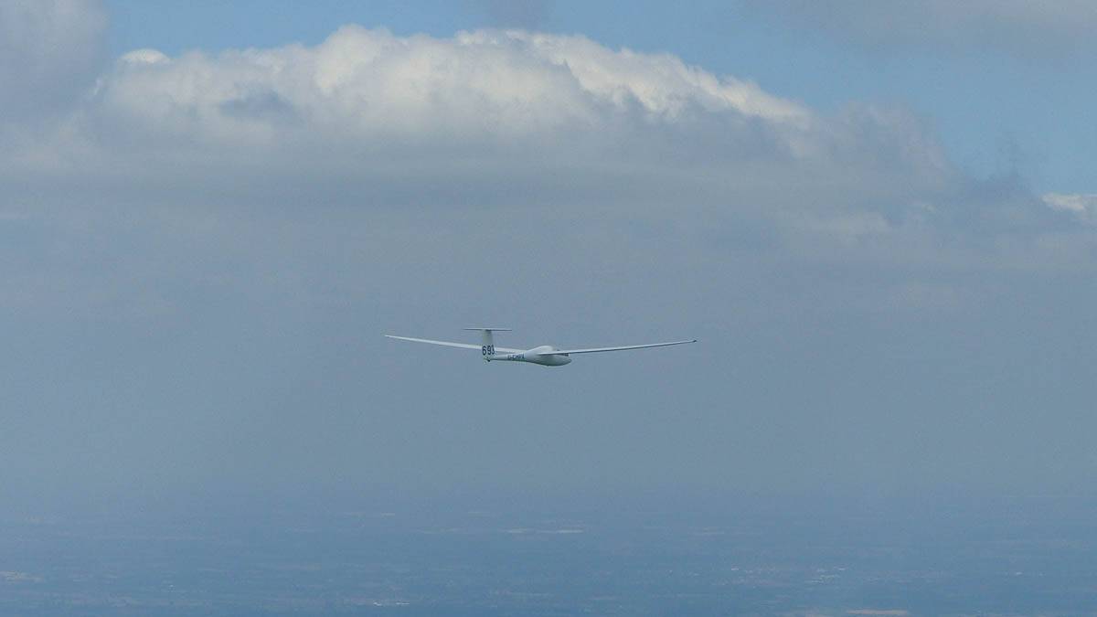
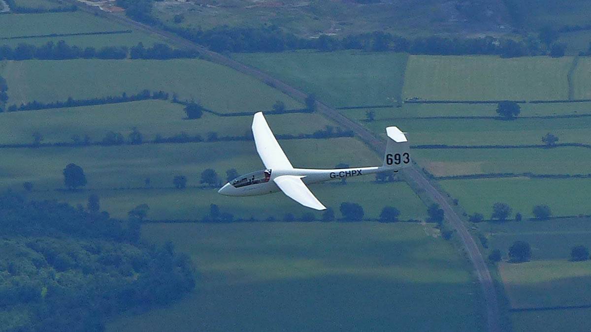
| Looking South along the M5 towards Tewkesbury, and Cheltenham and Gloucester. | Pershore from the Southwest. | Eckington from the North and the River Avon. The M5 to the far right with the M50 junction. | Evesham from the Southwest. | Following the cloud streets Eastwards with Discus 693. (From Bidford gliding club?) | |
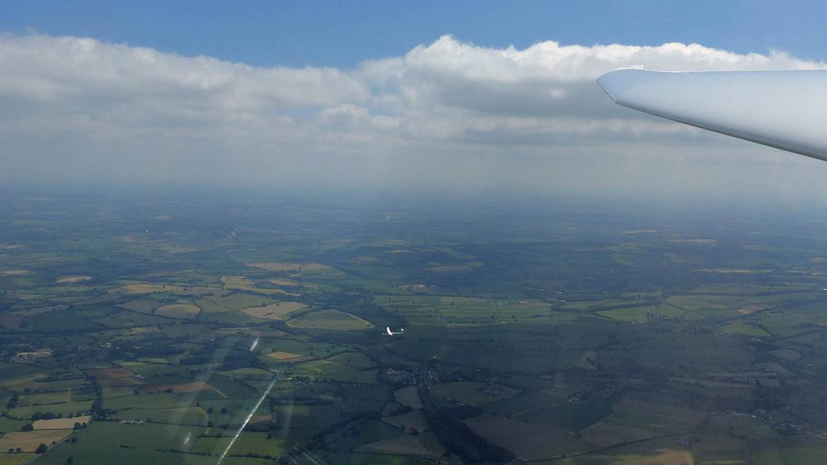 P1450456.jpg |
 P1450457.jpg |
 P1450458.jpg |
 P1450464.jpg |
 P1450469.jpg |
 P1450475.jpg |
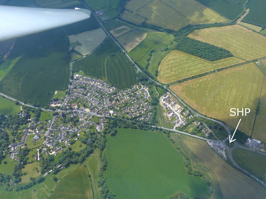
| Following the cloud streets Eastwards with Discus 693. (From Bidford gliding club?) | A nice cloud street. | The Shipton-on-Stour turnpoint is the big roundabout just outside the village of Tredington. Click here for an annotated version of this picture. | The disused Moreton-In-Marsh airfield from the Northwest. | Heading Southwards back past the Swindon area. The many lakes Northwest of Swindon are a good landmark. | |
 P1450477.jpg |
 P1450482.jpg |
 P1450484.jpg |
 P1450489.jpg |
 P1450491.jpg |
 P1450493.jpg |
| The disused Hullavington Airfield from the Northeast. | Chippenham from the North. | The disused RAF Lyneham Airfield from the West. | Trowbridge from the Northwest. | Bradford-on-Avon from the Northeast. | Trowbridge from the South-Southwest. |
 P1450494.jpg |
 P1450497.jpg |
 P1450500.jpg |
 P1450504.jpg |
 P1450505.jpg |
 P1450506.jpg |
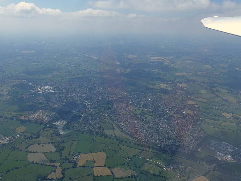
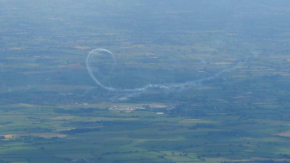
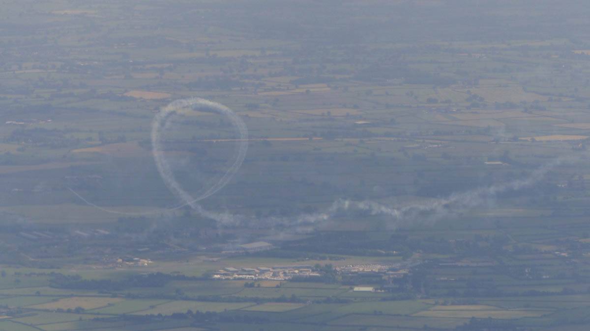
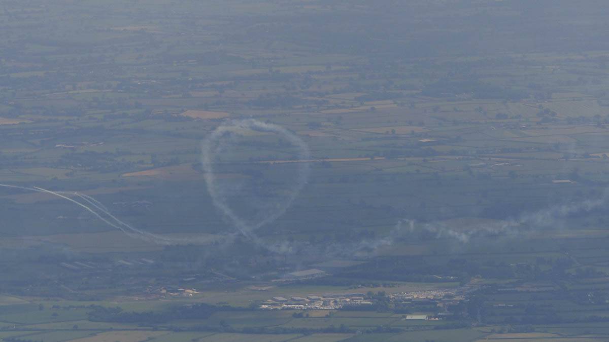
| West Wilts Trading Estate and Westbury from the Northwest. | Frome from the East-Northeast and East. | A long way to my South, I could see what looked like an aerobatic display going on at Henstridge Airfield. | |||
 P1450508_509_VPanorama.jpg |
 P1450511.jpg |
 P1450512.jpg |
 P1450514_516_Panorama.jpg |
 P1450518.jpg |
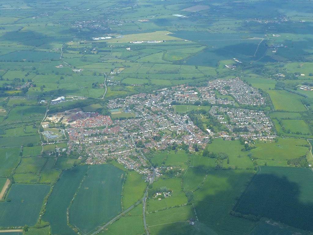
| Wincanton from the Northwest. | A distant view of Yeovilton Airfield from the East. | Sherborne from the Northwest. | A hazy view of Yeovil from the East (over Sherborne). | |
 P1450519.jpg |
 P1450523.jpg |
 P1450526.jpg |
 P1450531.jpg |
 P1450532.jpg |
 P1450538.jpg |
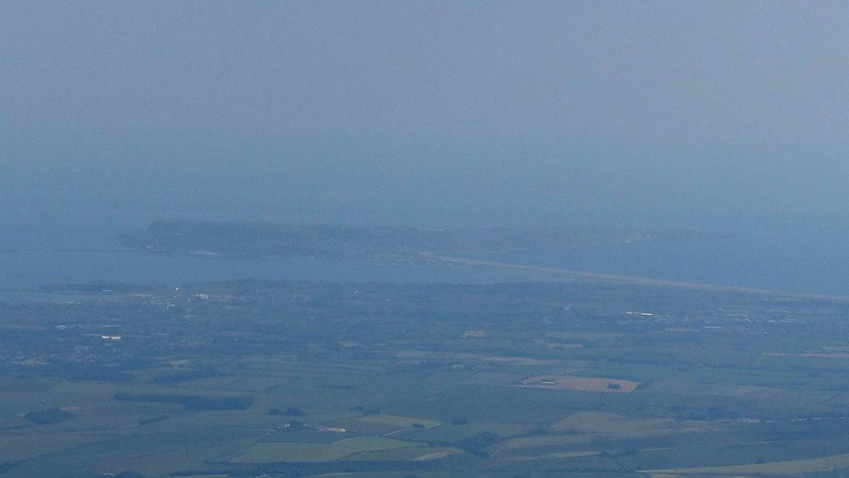
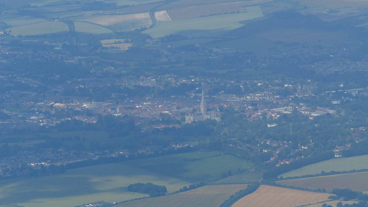
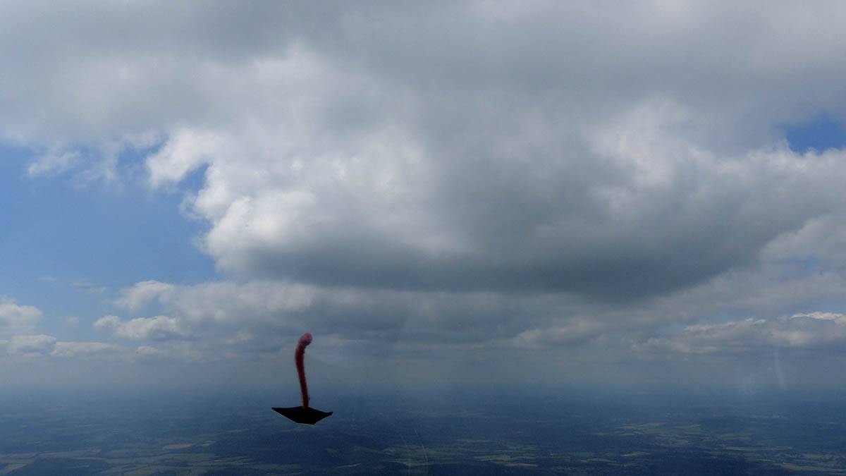
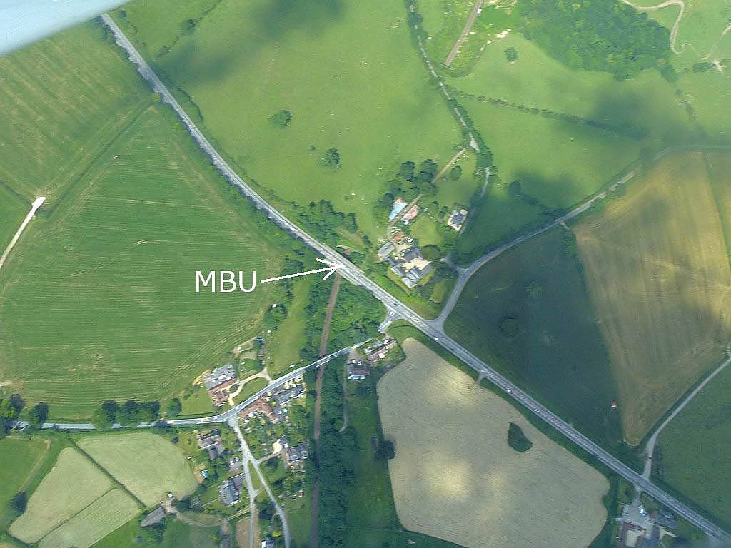
| Sutton Bingham (Yeovil) Reservoir from the Northeast and East. It looks just like a giant axe and is where the Yeovil turning point is (The Northern end of the road causeway). | The Melbury Bubb turnpoint from the South-Southwest, where the road goes over the railway. The village is called Holywell. Click here for an annotated version of this picture. | From near Melbury Bubb the Isle of Portland is visible to the South. | Salisbury and Salisbury Cathedral from the Southwest. | ||
 P1450546.jpg |
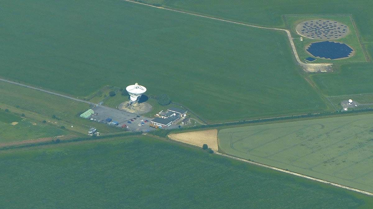
 P1450547.jpg |
 P1450548.jpg |
 P1450552.jpg |
 P1450555.jpg |
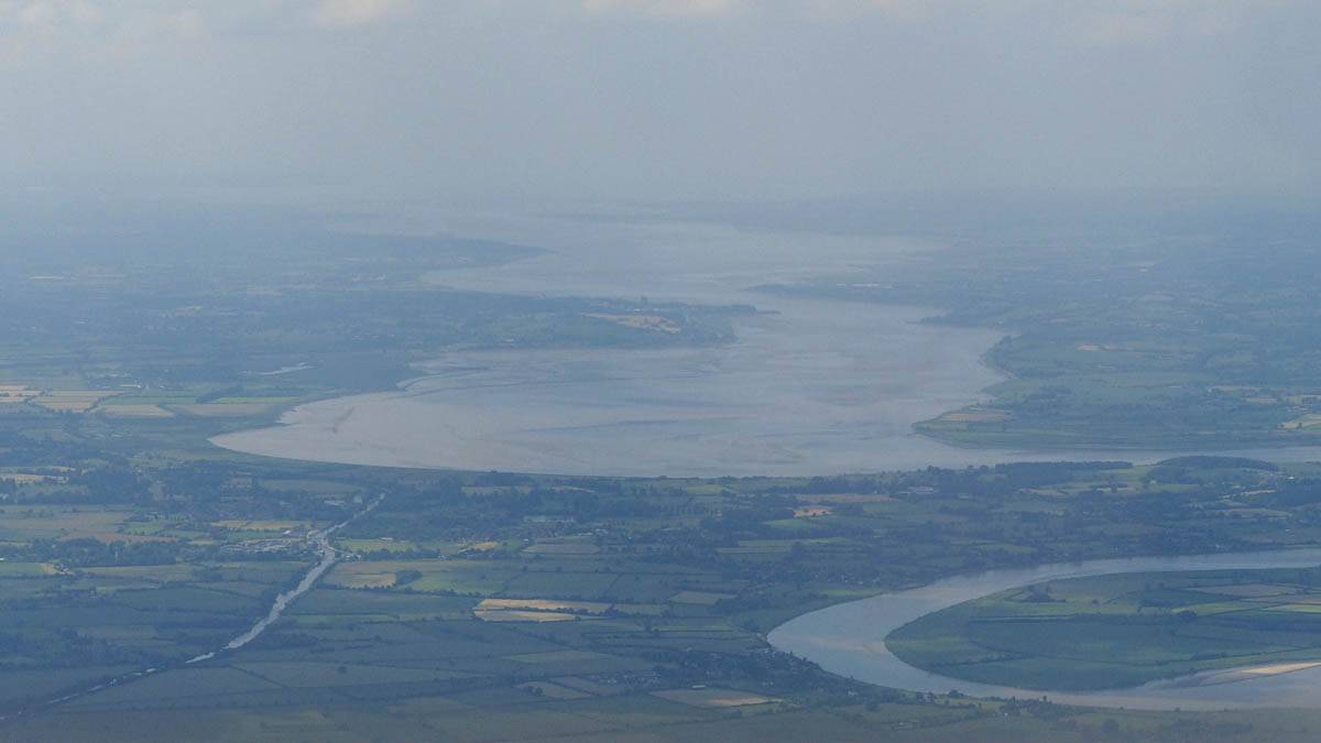
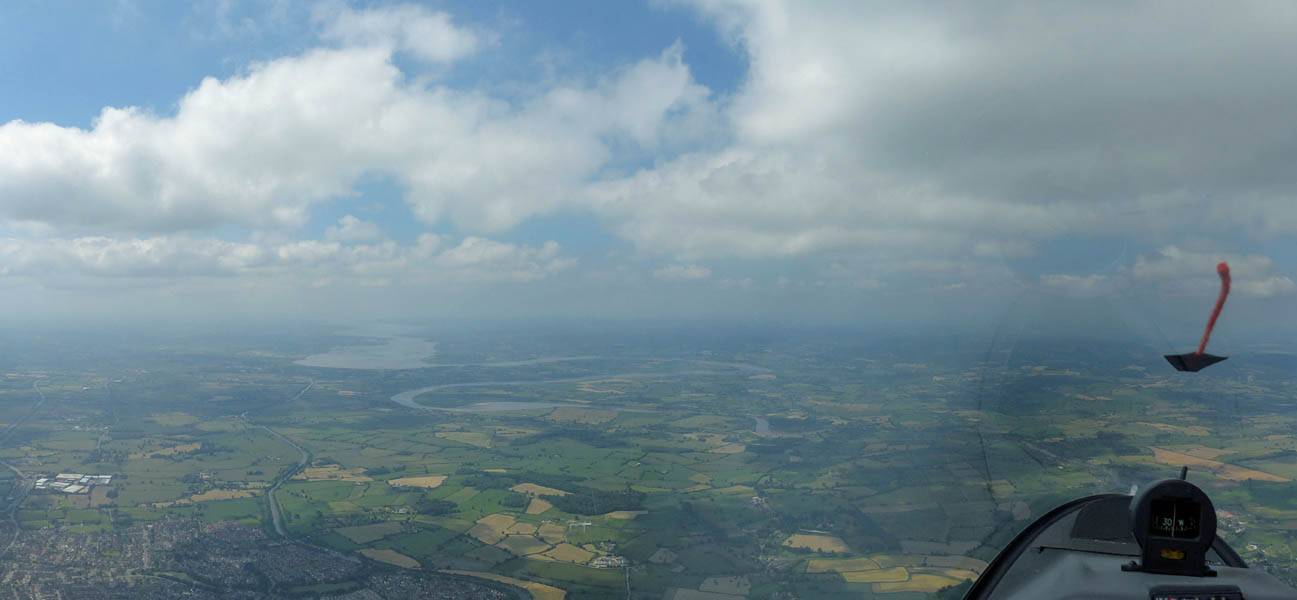
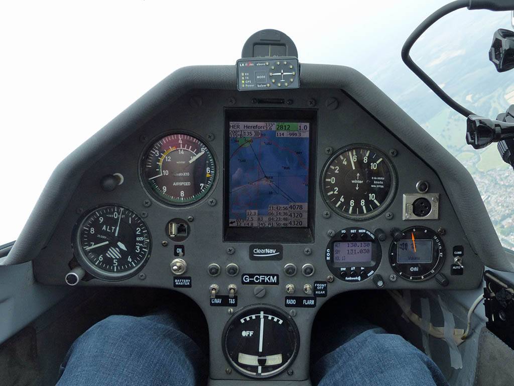
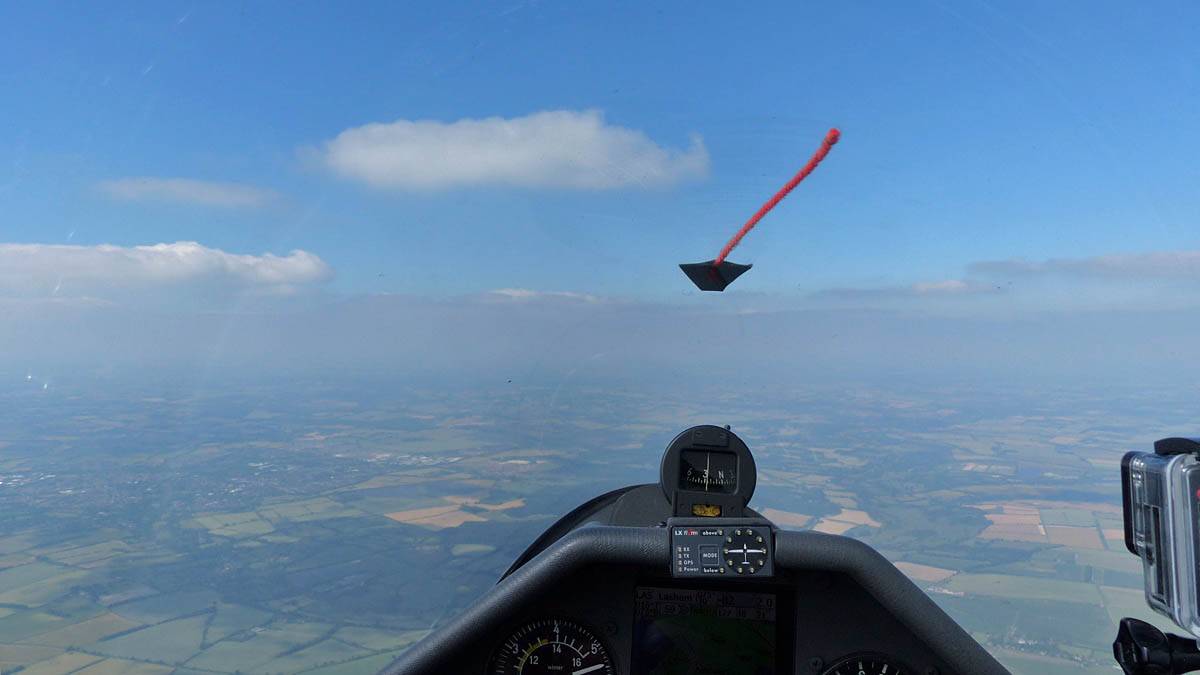
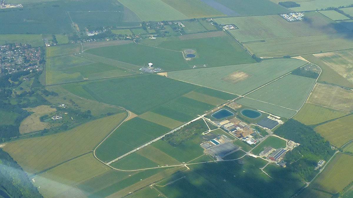
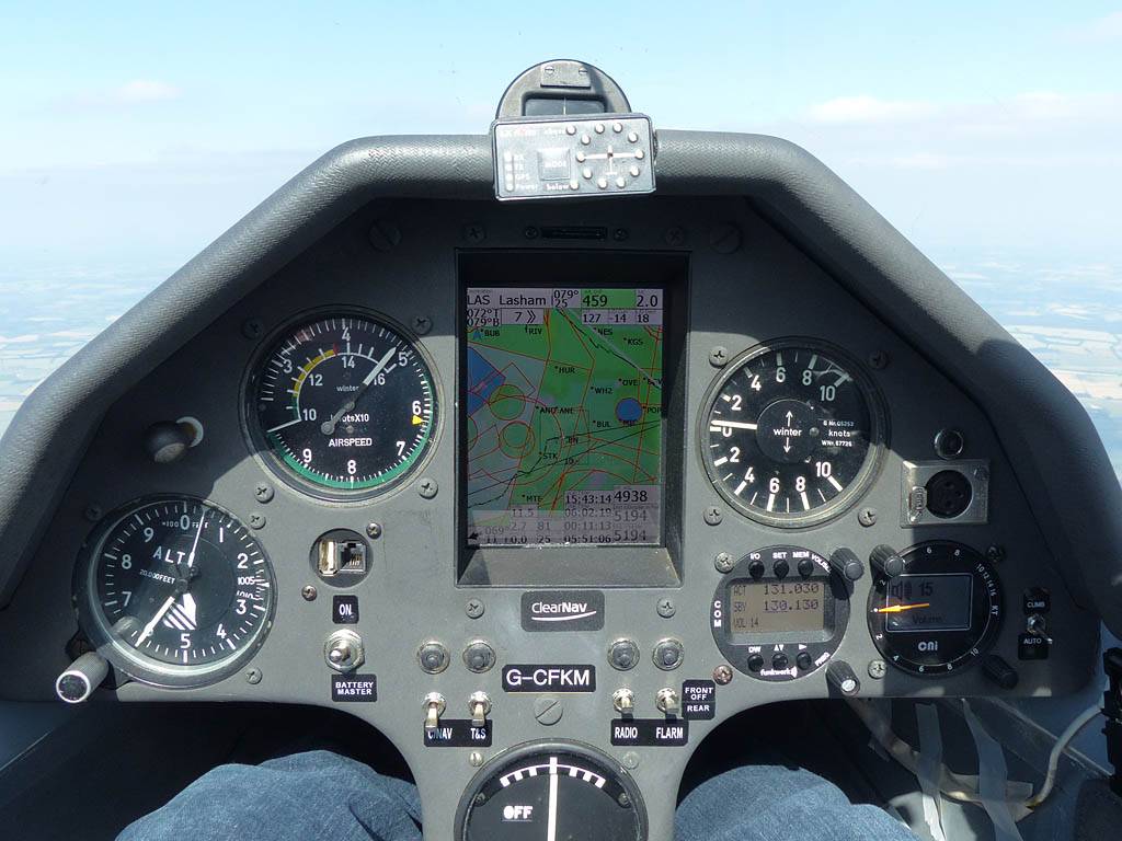
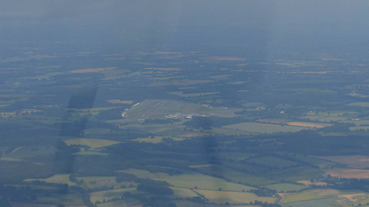
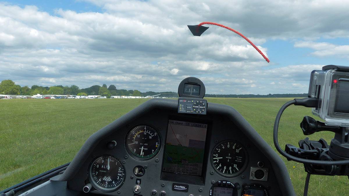
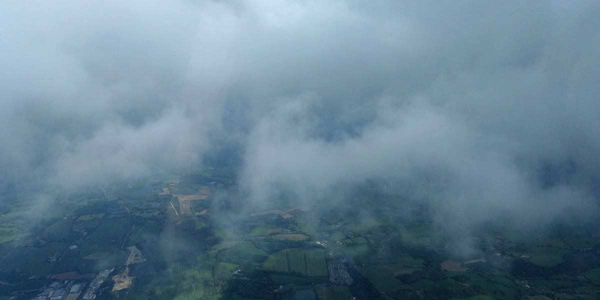
| Tiptoeing Eastwards and homewards to the South of Salisbury Plain as the gaps between thermals increase and the clouds nearly disappear. The town in the left of the picture is Andover from the South. I am probably near Stockbridge. | Chilbolton Observatory from the West. | At Chilbolton I reach a decent final glide at 5200 feet (Manual altimeter is set to QFE Lasham, so I am 4600 feet above the airfield. I still have QNH, or height above sea level, readout on the ClearNav.) Yippee! I'm going to make it home after a slog of a last leg and my best ever XC flight! | Approaching Lasham from the West-Southwest on a high speed final glide. | |
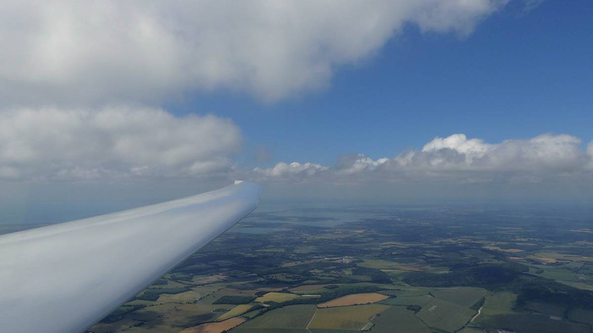
Today was looking like it might be a spreadout day, but could be good South of the M4. Despite this tasks were set to the coast and out to the Swindon area. I planned for a 400km flight to Goodwood, Blakehill Farm, Chard and back. Other smaller tasks were set inside that area so looked good in case I fell back to smaller tasks. The South Coast was indeed gorgeous and I easily got to Goodwood. But North of Marlborough spreadout was indeed severe. However I was able to reach Blakehill Farm. From there a huge dead gap stood between me and better air towards the Southwest. So I decided to retreat back the way I came. Once back into the better air I revisited the Goodwood area, and carried on as far as Arundel Castle. The sea breeze was forming there and I had great fun taking in the coastal scenery and playing around the low wisps of sea breeze cloud before returning back to Lasham. I still managed 331km so it was my best flight of the year so far.
 P1450011.jpg |
 P1450012.jpg |
 P1450016.jpg |
 P1450018.jpg |
 P1450021.jpg |
 P1450025.jpg |
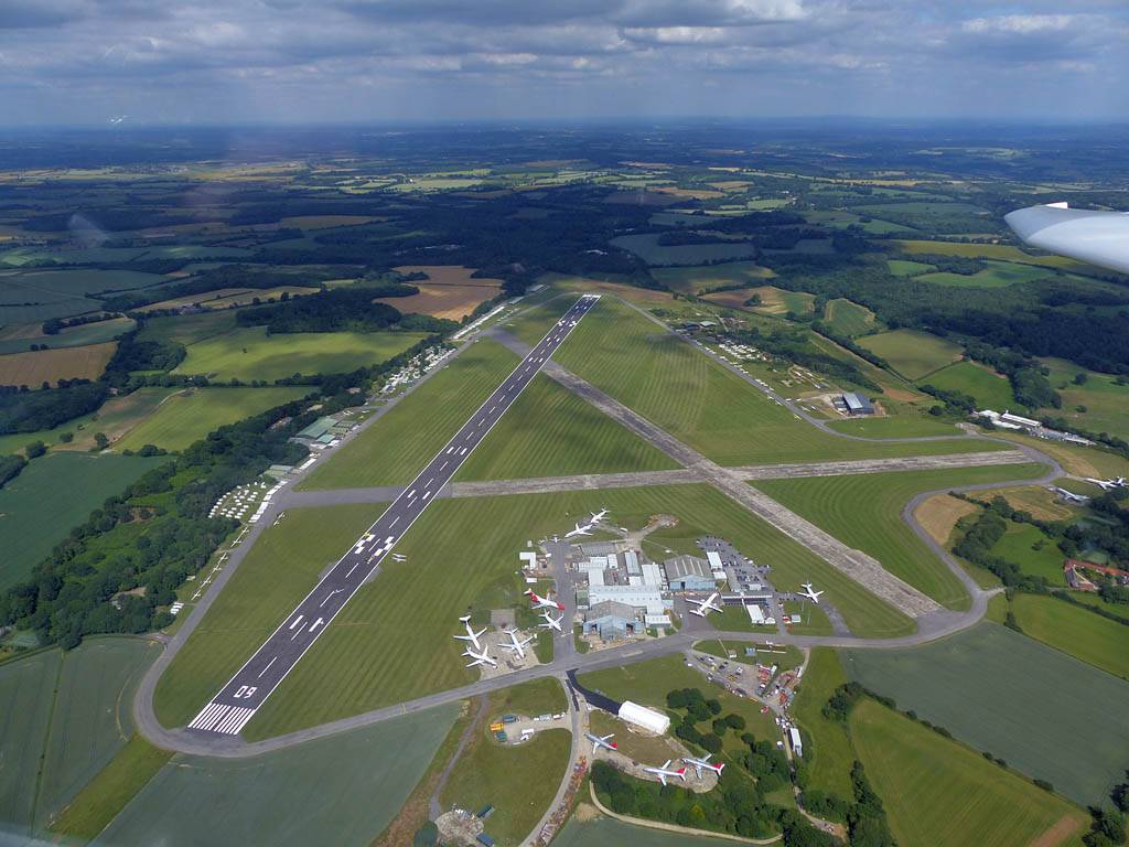
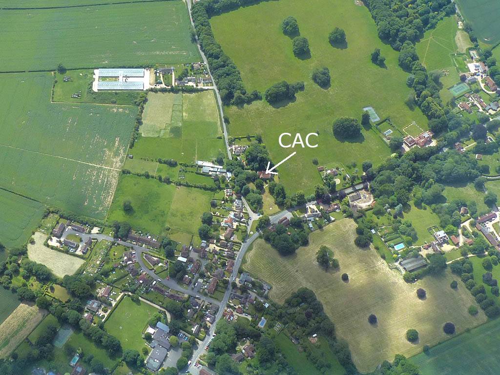
| At the front of the winch queue on runway 27. | Playing with cloudbase at the start of the flight. | Lasham Airfield from the South. | Looking North towards Basingstoke and what is currently purple airspace. | Candover is where my start line is today. The Church (CAC) is the Old Church of St Mary the Virgin, Preston Candover. | |
 P1450026.jpg |
 P1450031.jpg |
 P1450032.jpg |
 P1450034.jpg |
 P1450036_037_Panorama.jpg |
 P1450041.jpg |
| Candover Church from the Northwest. Click here for an annotated version of this picture. | Setting off Southeastwards over Fourmarks with Alton visible under my left wing. | The view to the right towards the Southampton area. | A small airstrip from the Southeast near West Tisted, South of Fourmarks. The hangar is inside Ashen Wood. | Heading Southeast under small clouds towards Petersfield. | Petersfield from the West. |
 P1450048.jpg |
 P1450050.jpg |
 P1450051.jpg |
 P1450053.jpg |
 P1450055.jpg |
 P1450057.jpg |
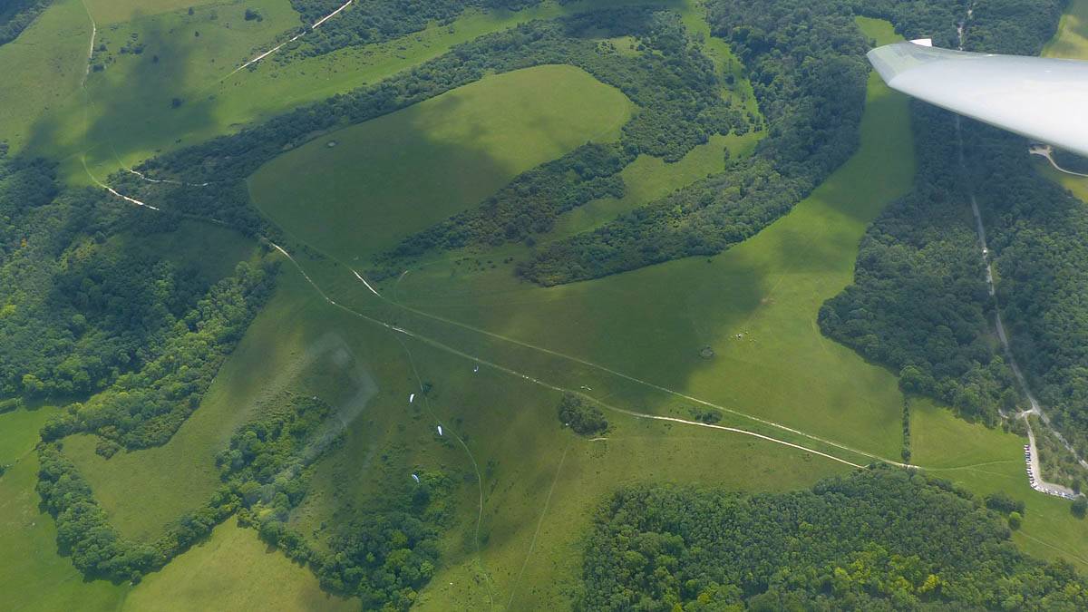
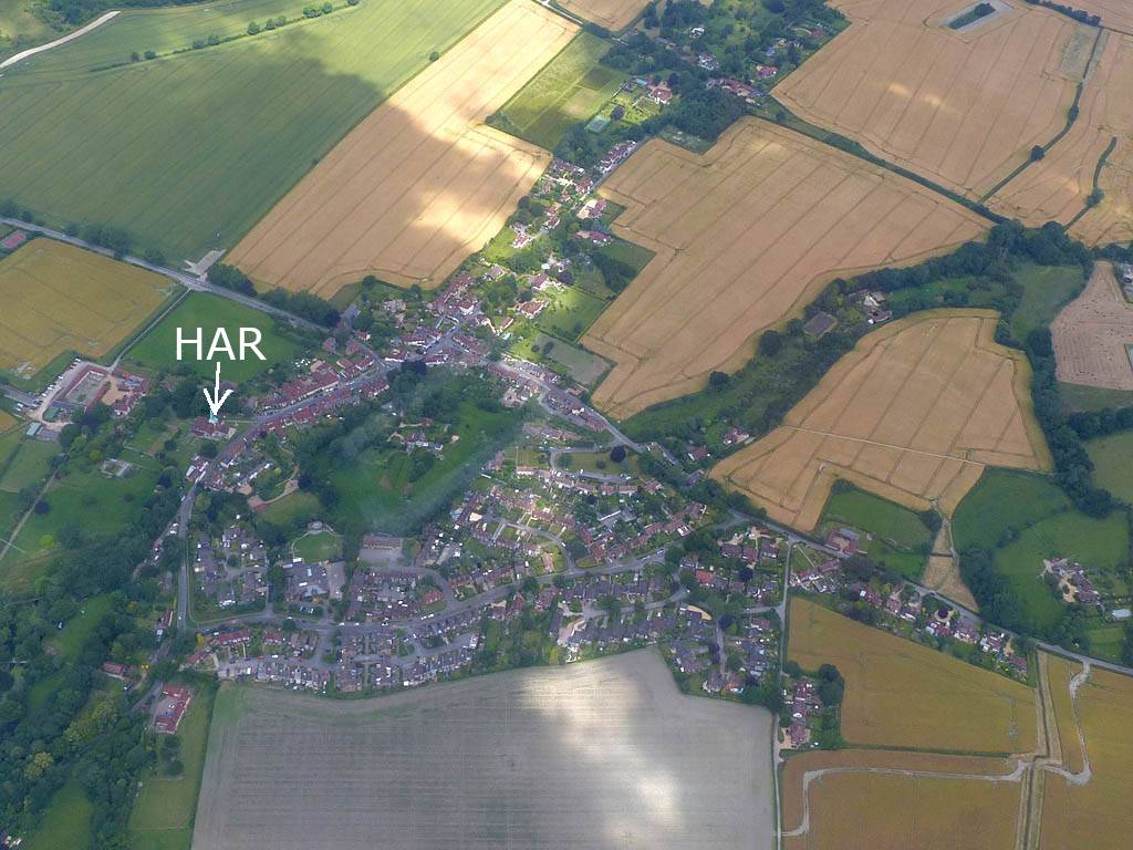
| Soaring over the South Downs near Harting, with paragliders launching from the ridge below. | The ruins of a tower at Tower Hill on the Harting Downs just West of the paraglider launch site. | Harting from the South showing the HAR turnpoint. Click here for an annotated version of this picture. | Soaring with another glider. | The South Downs Ridge, looking East from near Harting. | Looking at the South Coast, with Hayling Island just under my right wing. |
 P1450066.jpg |
 P1450069.jpg |
 P1450071_073_Panorama.jpg |
 P1450074.jpg |
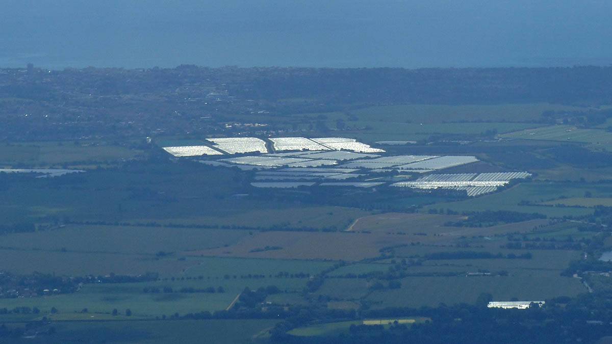
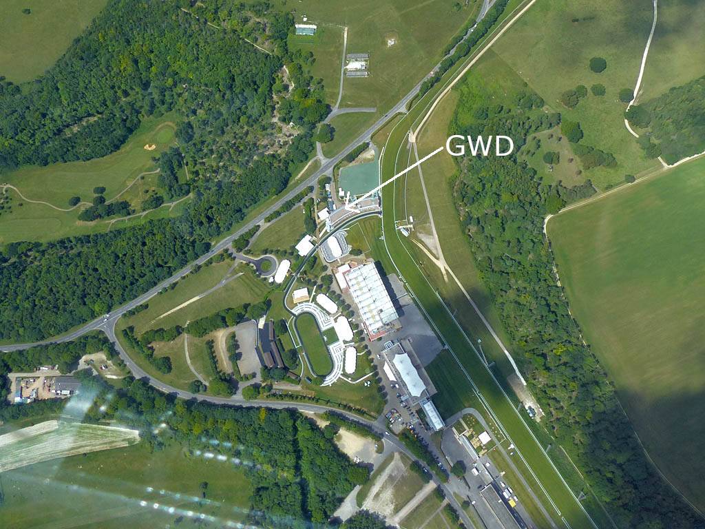
 P1450078_080_Panorama.jpg |
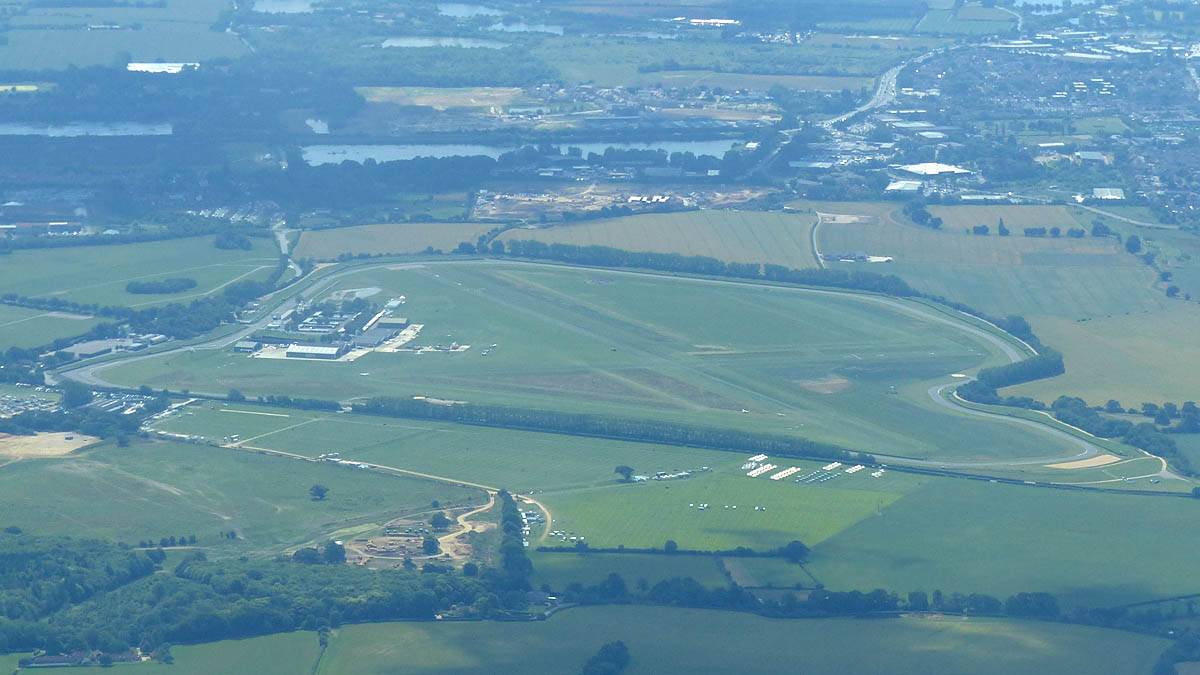
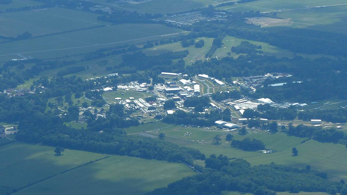
| Lots of greenhouses at Tangmere Airfield Nurseries. Bognor Regis in the background on the coast. | Chichester / Goodwood aerodrome from the North-Northwest. | Arriving at Goodwood Racecourse from the Northwest. | Turning the GWD turnpoint. Goodwood from the East-Southeast. Click here for an annotated version of this picture. | Looking along the Southdowns Ridge from the Southern side as I head back Northwestwards from Goodwood. |
 P1450081.jpg |
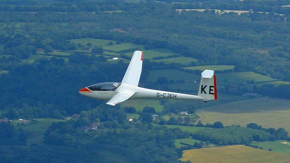
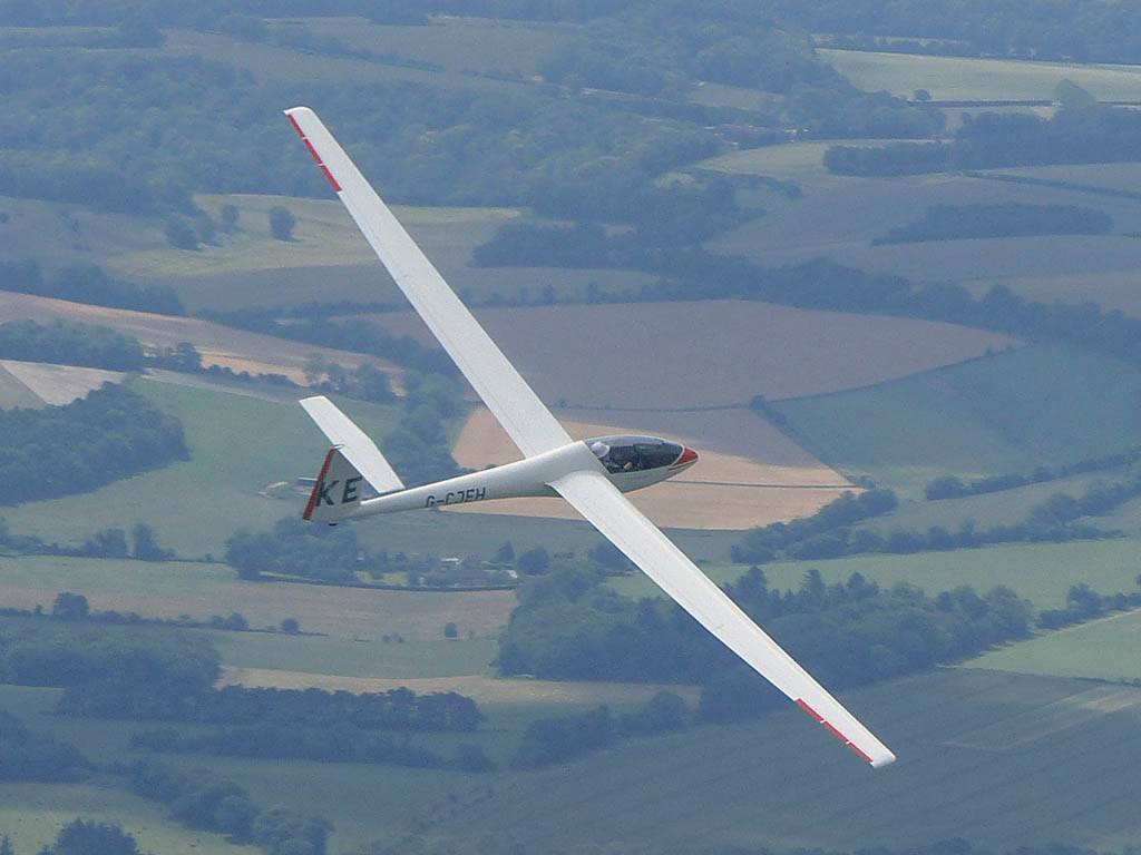
 P1450082.jpg |
 P1450089.jpg |
 P1450091.jpg |
 P1450093.jpg |
 P1450094.jpg |
| Over my left shoulder the view of the coast continues to impress. Hayling Island under my left wingtip, Portsmouth to its right. | Flying Northwestwards in formation with KE. | Clouds and in the company of other gliders as I continue Northwestwards past the Fourmarks area. | |||
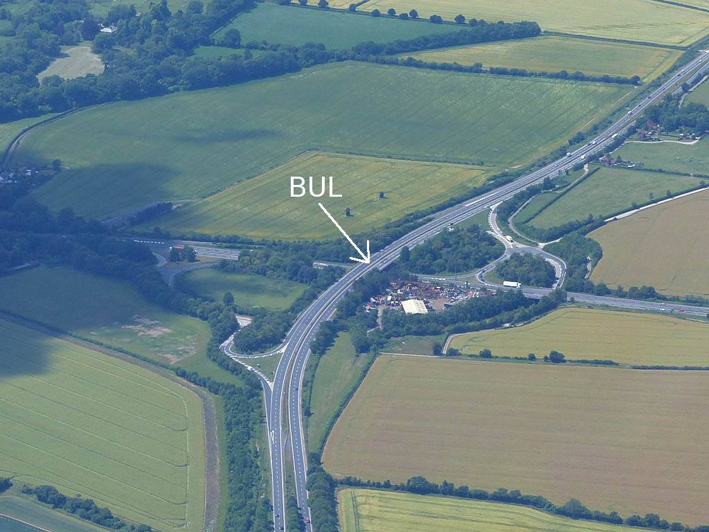
 P1450102_103_Panorama.jpg |
 P1450106.jpg |
 P1450109.jpg |
 P1450111.jpg |
 P1450114.jpg |
 P1450118.jpg |
| Crossing the M3 near Popham Airfield (just left of bottom centre) conditions are lovely. | Soaring with ZW. | Bullington Cross (BUL) from the East-Northeast. Click here for an annotated version of this picture. | Whitchurch from the South. | Andover from the East-Northeast. | Rivar Hill Gliding Club from the Southeast. |
 P1450120.jpg |
 P1450123.jpg |
 P1450126.jpg |
 P1450127.jpg |
 P1450128.jpg |
 P1450131_132_Panorama.jpg |
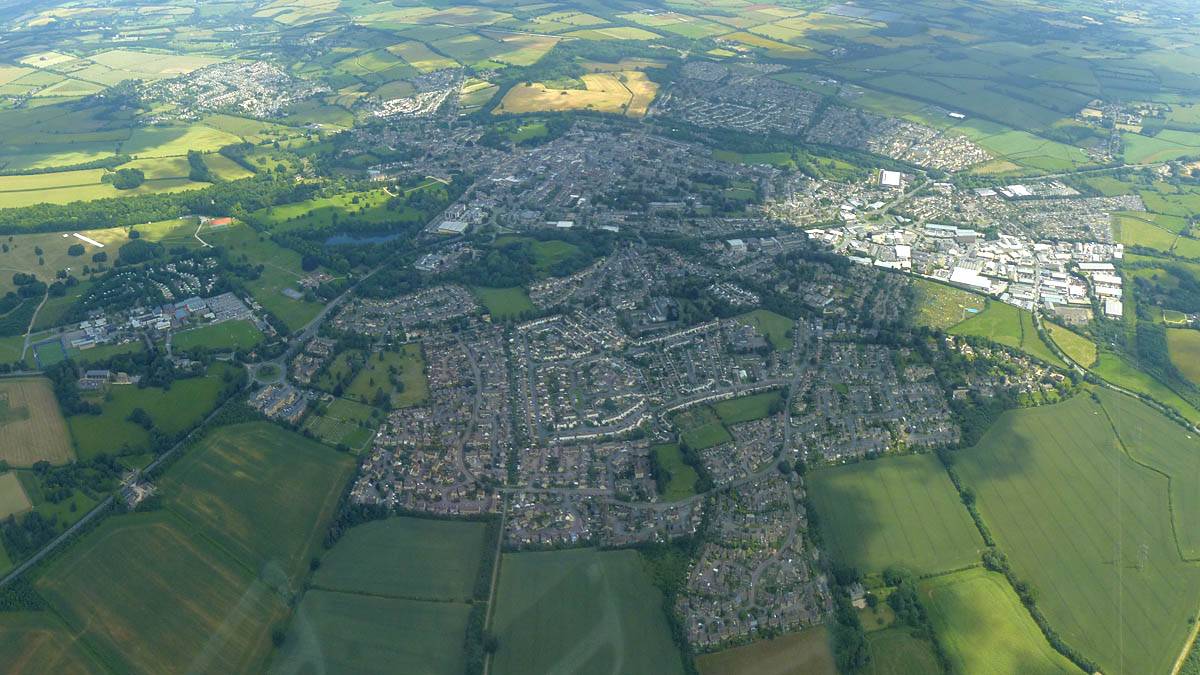
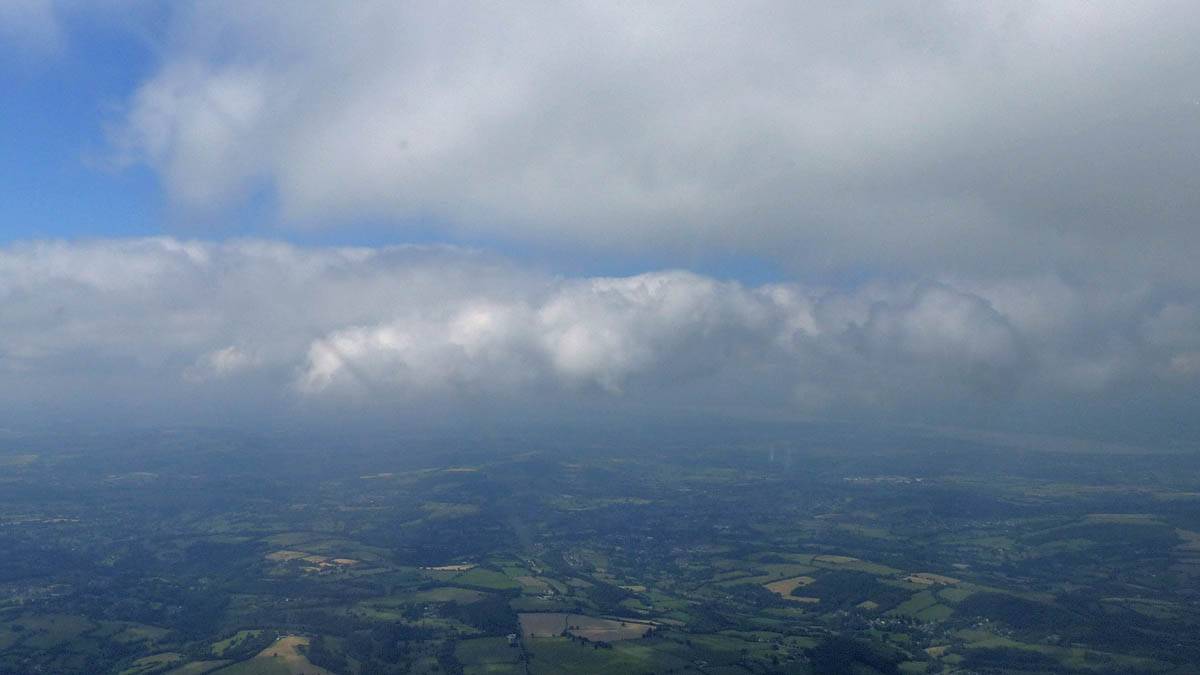
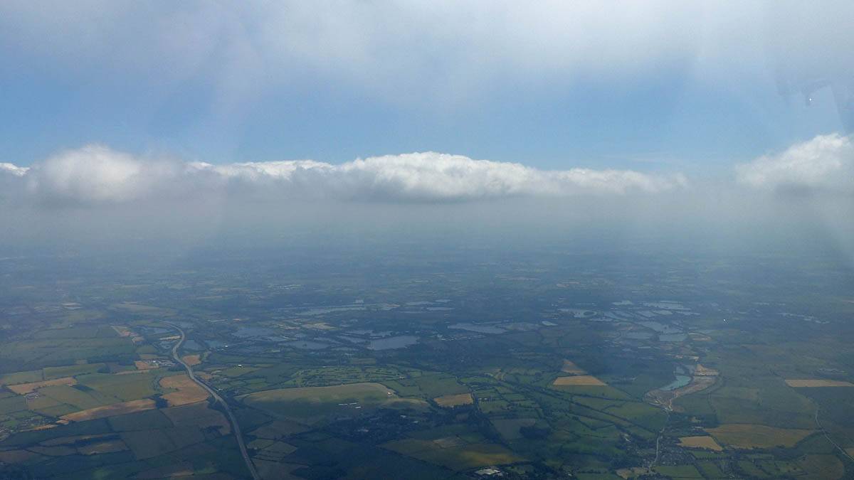
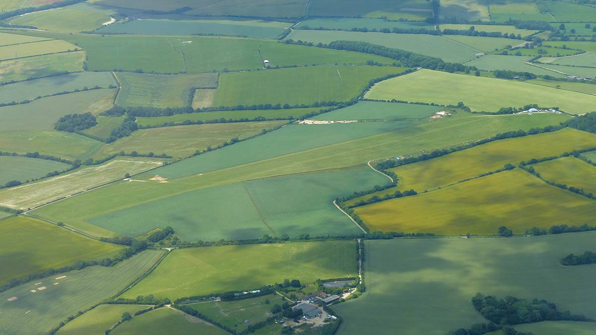
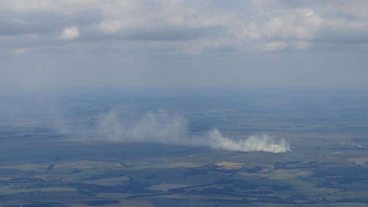
| Somewhere to my West a large fire appeared to be burning. | Clench Common Airfield from the North. | Severe spreadout North of Marlborough. | Lyneham Airfield in the distance from the East. | Disused Wroughton Airfield from the Southwest. This is the location of the 'Eboladrome' race track in The Grand Tour. This is just South of Swindon. | |
 P1450133.jpg |
 P1450134_135_Panorama.jpg |
 P1450140.jpg |
 P1450142.jpg |
 P1450145.jpg |
 P1450146.jpg |
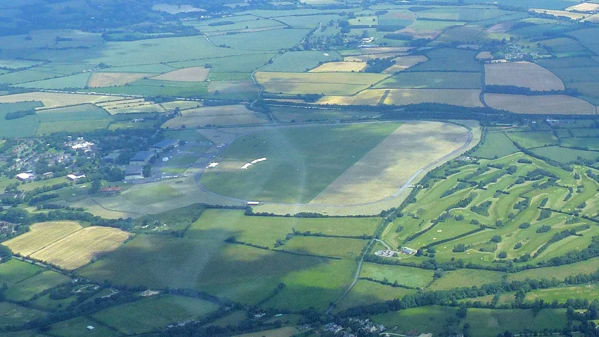
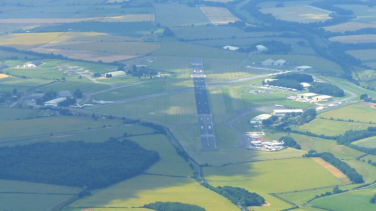
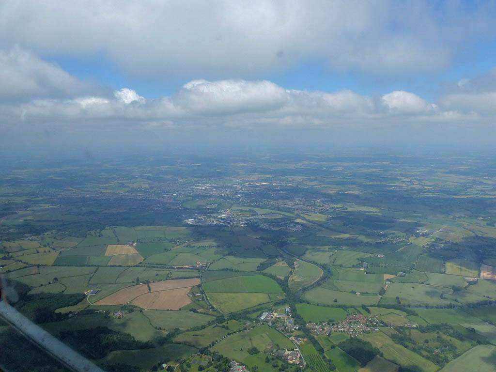
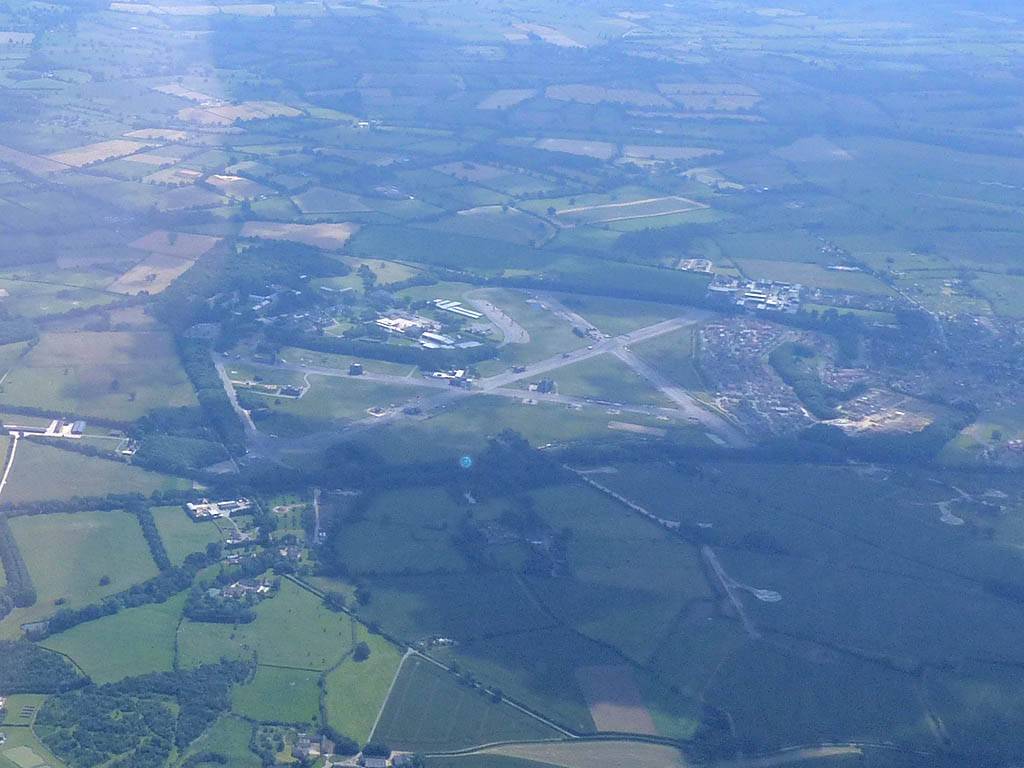
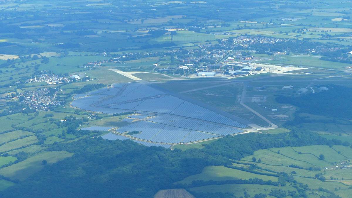
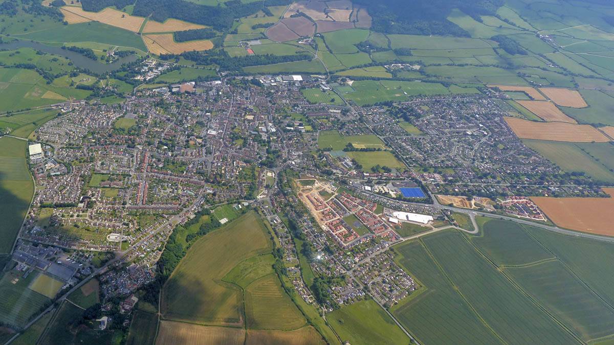
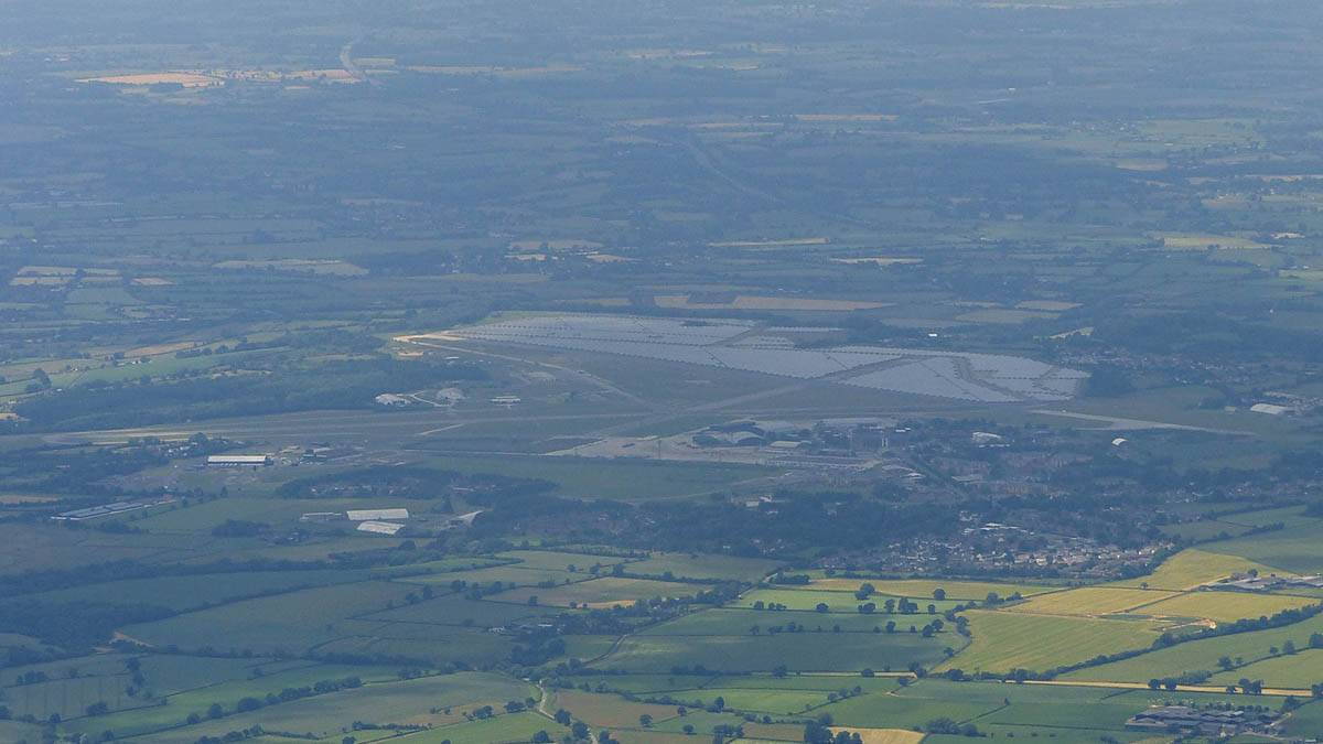
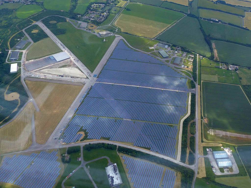
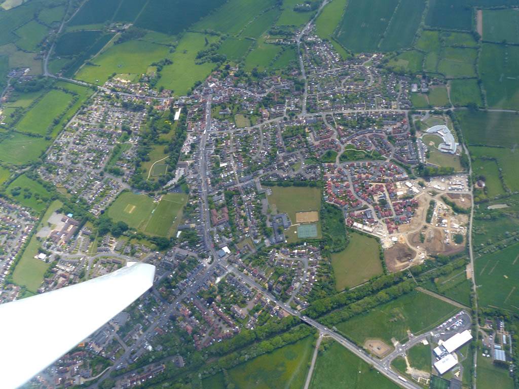
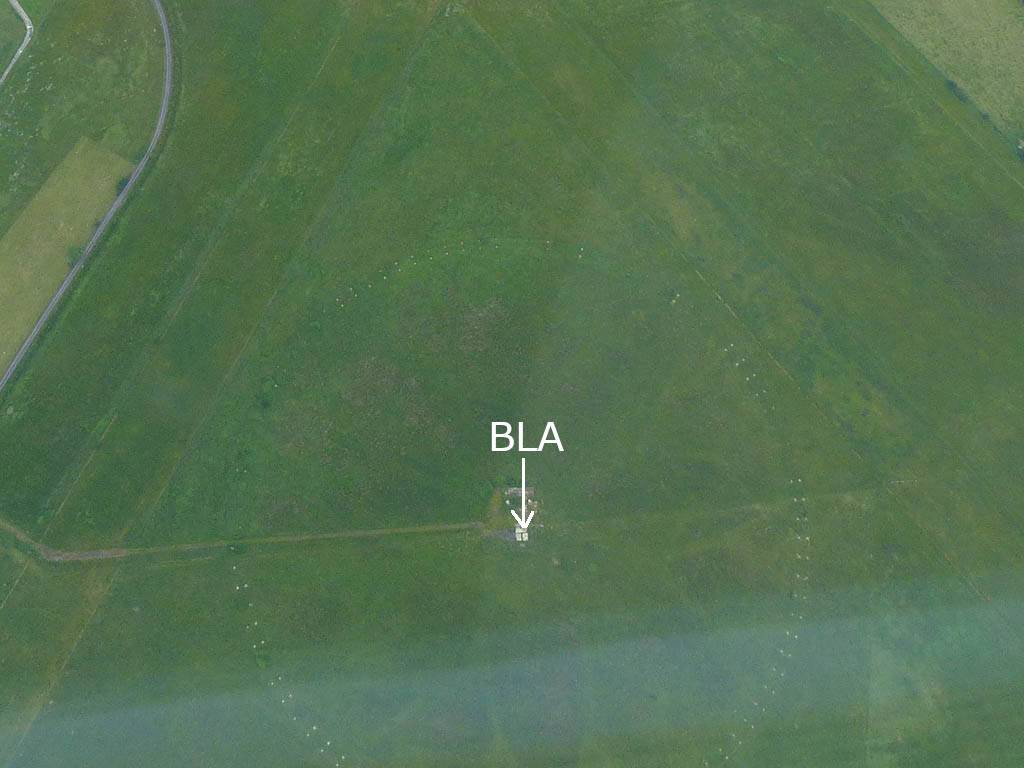
| Heading Northwards over Southern Swindon into worsening spreadout. The Swindon West turnpoint and Royal Wootton Bassett beyond it visible under my wing to my West. Click here for an annotated version of this picture. | The last good street near the Northwestern corner of Swindon, luckily within range of the turnpoint. | Turning Blakehill Farm. BLA is the centre of the airfield. View from the Southeast. Click here for an annotated version of this picture. | A wider view of Blakehill Farm from the East-Southeast. | It looked horrible to the Southwest. (My original declared task went that way to Chard then back for 400km.) So I retreated back Southeastwards to known better conditions. | Heading Southeastwards back over Swindon to better conditions. |
 P1450148.jpg |
 P1450161_162_Panorama.jpg |
 P1450164.jpg |
 P1450167.jpg |
 P1450168.jpg |
 P1450171.jpg |
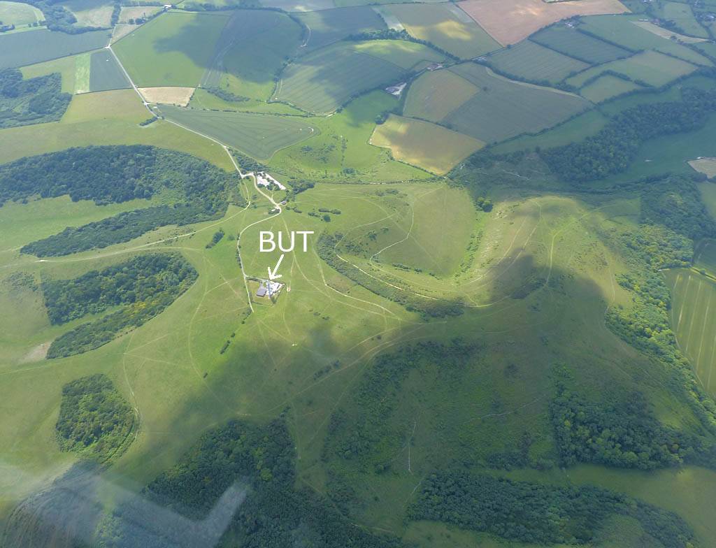
| Soaring with another glider over Swindon. Swindon West and Royal Wootton Bassett visible in the background again. | Nice cumulus embedded in the spreadout. | Popham Airfield from the North. | Back in lovely conditions as I continue Southeastwards past the Lasham area. | Butser Hill from the North. | |
 P1450175.jpg |
 P1450180.jpg |
 P1450181_185_Panorama.jpg |
 P1450189.jpg |
 P1450190_193_Panorama.jpg |
| Passing by Butser Hill. View from the Northeast. Click here for an annotated version of this picture showing the turning point which is the 150ft high mast. | Flying back past Goodwood Racecourse. View from the Northwest. | Gorgeous sky South of the Southdowns Ridge. | Arundel from the West. | A panorama of the South Coast from West of Arundel from Littlehampton to Selsy and beyond. |
 P1450195.jpg |
 P1450196.jpg |
 P1450200.jpg |
 P1450201_204_Panorama.jpg |
 P1450206.jpg |
 P1450207.jpg |
| Closeups of the Arun river estuary and Littlehampton. | Arundel from the Southeast. | A gorgeous view of the South Coast, Littlehampton and Arundel while wisps of sea breeze clouds start to form below me. | Playing with the sea breeze front over Arundel. | ||
 P1450210.jpg |
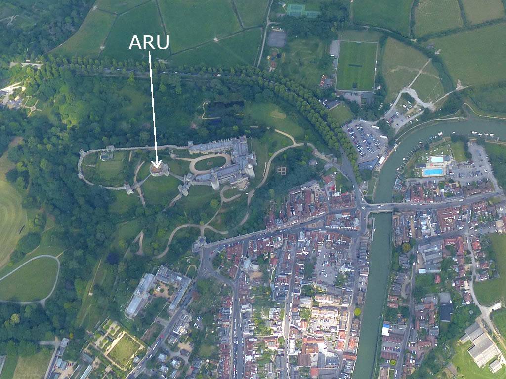
 P1450218.jpg |
 P1450230.jpg |
 P1450234.jpg |
 P1450238.jpg |
 P1450239_241_Panorama.jpg |
| Playing with the sea breeze front over Arundel. | A closeup of Arundel from the West. Click here for an annotated version of this picture showing the turning point which is the circular keep in the castle. | Looking Eastwards along the South Coast towards Brighton and the white cliffs beyond. | The cloud street home. | East side of the Goodwood festival of speed venue from the North. | One last look at the coast (towards Selsy, Hayling Island and Portsmouth) and the sea breeze. |
 P1450249.jpg |
 P1450252.jpg |
 IMG_7765.jpg |
 IMG_7769.jpg |
 IMG_7775.jpg |
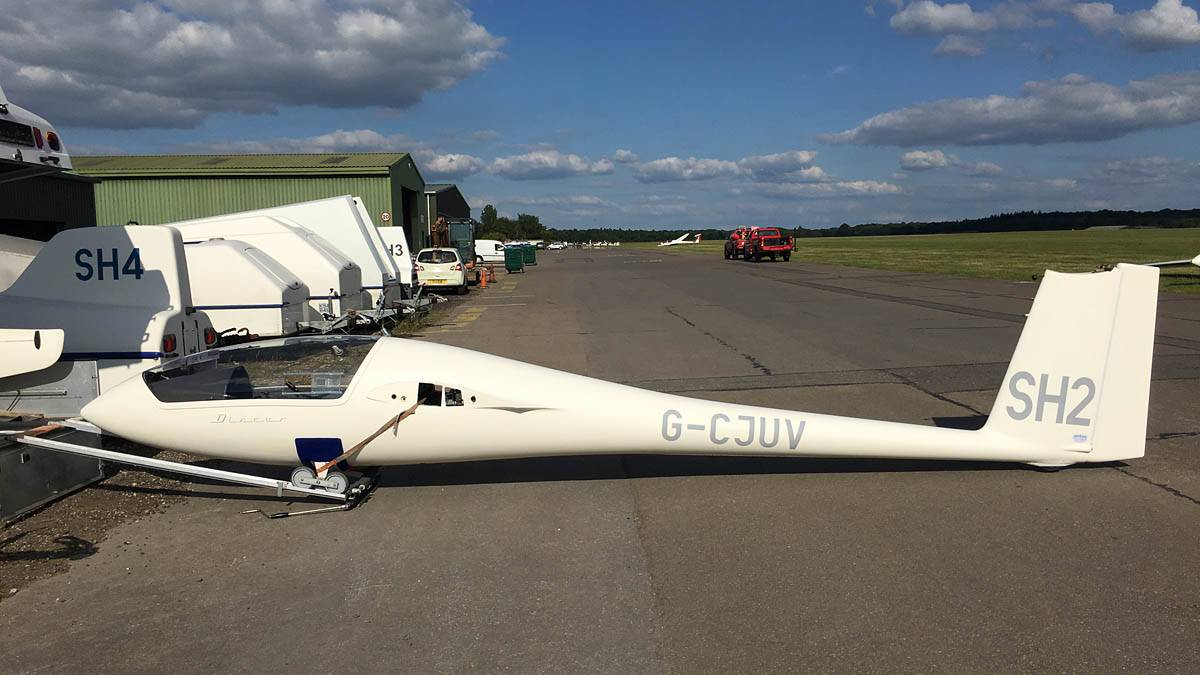
 IMG_7774.jpg |
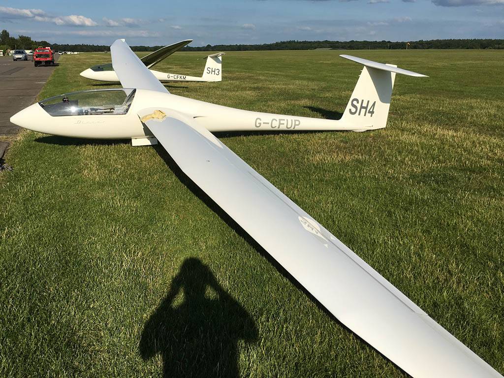
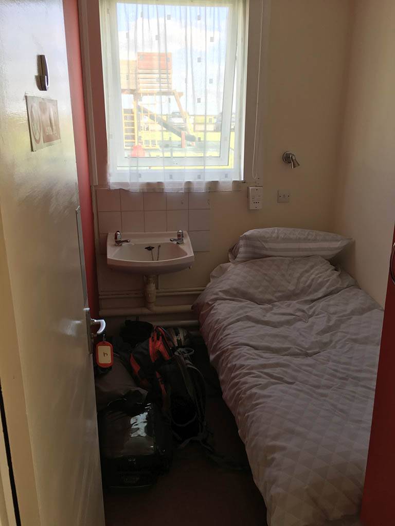
 IMG_7780.jpg |
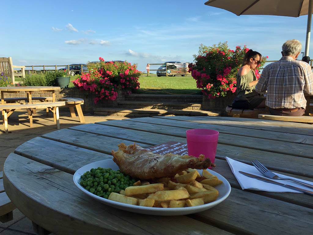
| Back at Lasham. ATC Lasham repainted the runway lines recently. Looks very bright still. | Back on the ground near the trailer 4 hours 51 minutes after takeoff. | SH3 parked out for the night by the trailer. | Sister Discus SH2 being derigged. | SH4 parked up next to SH3, being cleaned and waiting to be derigged. | Checking into my cosy little bunk room for tonight. | Dinner on the clubhouse patio. |
TODO: Photos coming soon.
TODO
 P1440153.jpg |
 P1440154.jpg |
 P1440163.jpg |
 P1440168.jpg |
 P1440169.jpg |
 P1440170.jpg |
| . | |||||
 P1440171.jpg |
 P1440173.jpg |
 P1440180.jpg |
 P1440182.jpg |
 P1440186.jpg |
 P1440188.jpg |
 P1440190.jpg |
| . | ||||||
 P1440192.jpg |
 P1440194.jpg |
 P1440197_199_Panorama.jpg |
 P1440200.jpg |
 P1440201.jpg |
 P1440204.jpg |
| . | |||||
 P1440205.jpg |
 P1440206.jpg |
 P1440208.jpg |
 P1440210.jpg |
 P1440211.jpg |
 P1440212.jpg |
| . | |||||
 P1440214.jpg |
 P1440215.jpg |
 P1440217.jpg |
 P1440220.jpg |
 P1440222.jpg |
 P1440225.jpg |
| . | |||||
 P1440227.jpg |
 P1440229.jpg |
 P1440231_232_Panorama.jpg |
 P1440238_239_VPanorama.jpg |
 P1440240.jpg |
| . | ||||
 P1440243.jpg |
 P1440246_249_Panorama.jpg |
 P1440250.jpg |
 P1440252_260_360Panorama.jpg |
 P1440261.jpg |
| . | ||||
 P1440262_263_VPanorama.jpg |
 P1440264.jpg |
 P1440265_271_PPanorama.jpg |
 P1440272.jpg |
 P1440278.jpg |
| . |
TODO: Photos coming soon.