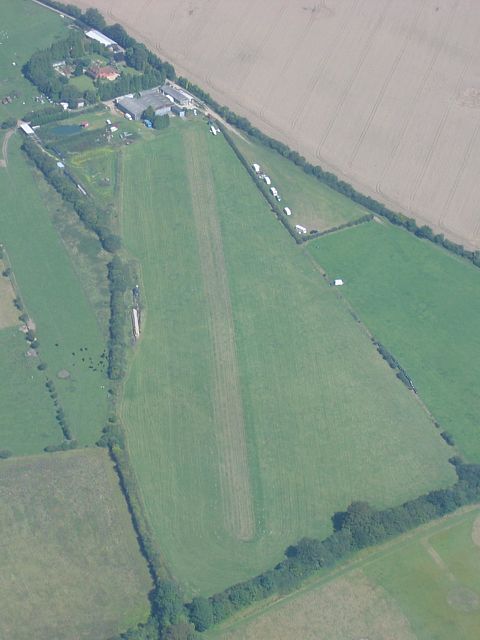
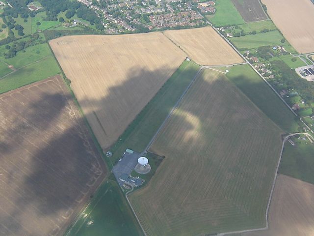
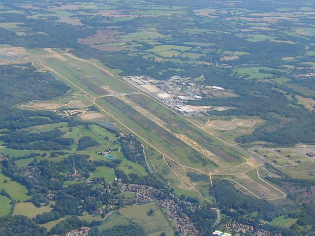
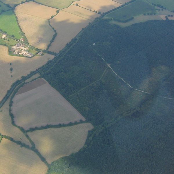
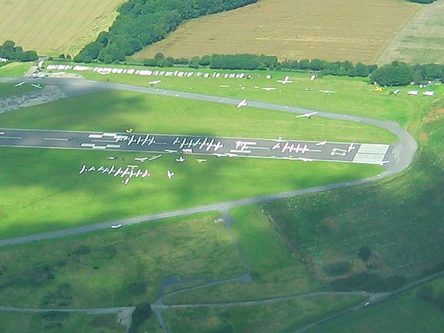
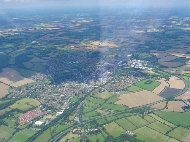
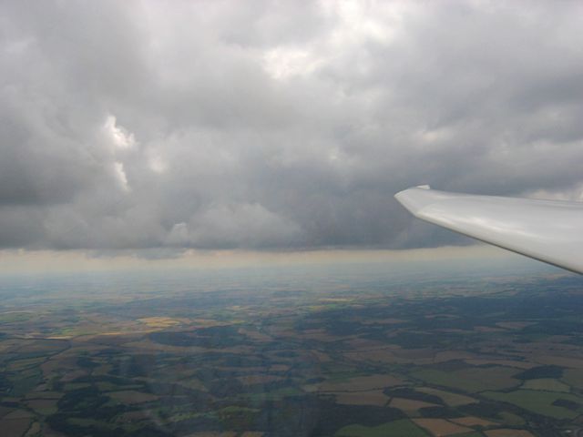
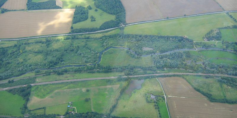
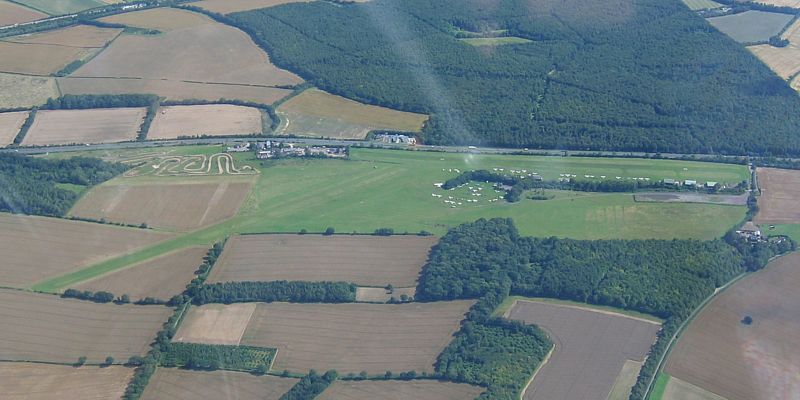
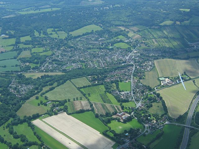
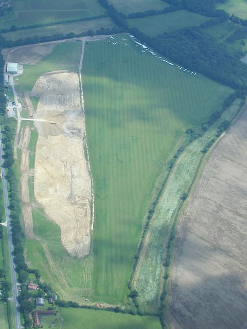
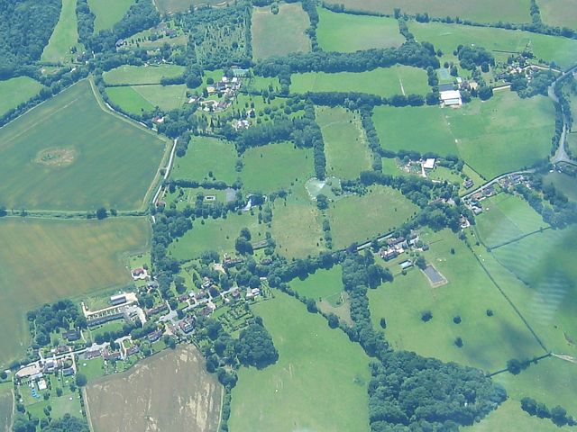
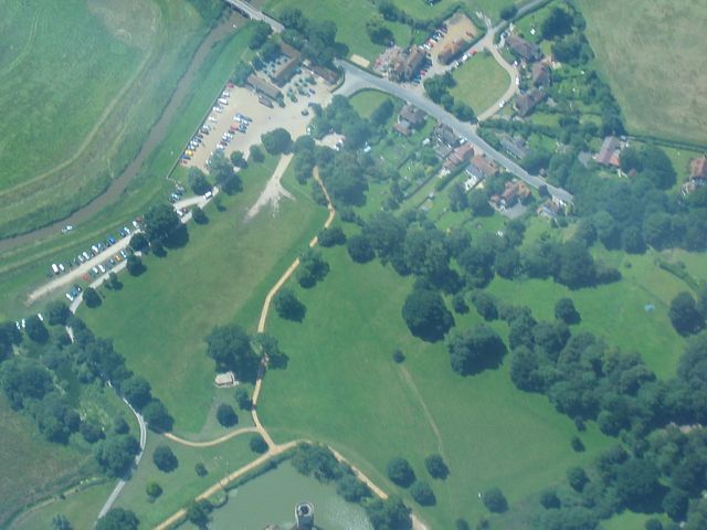
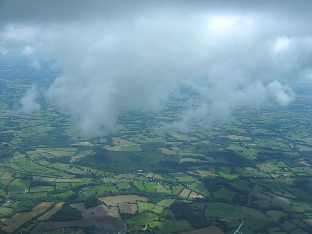
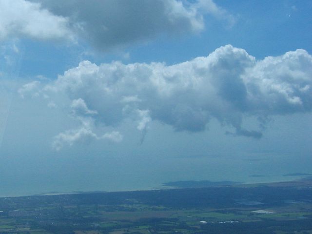
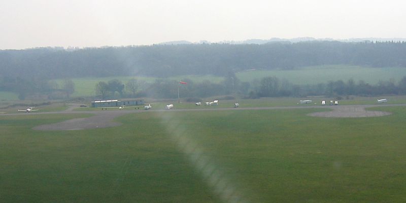
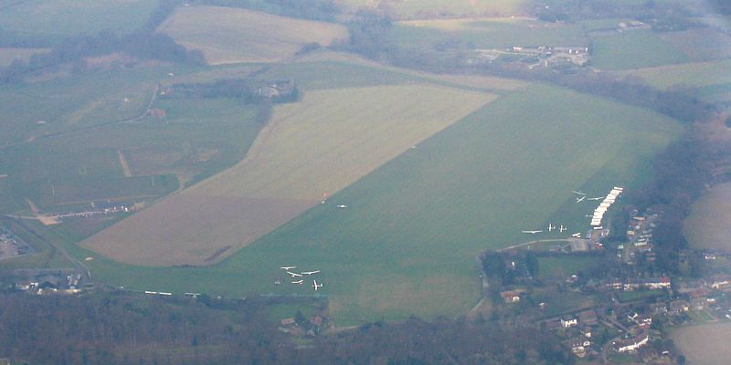
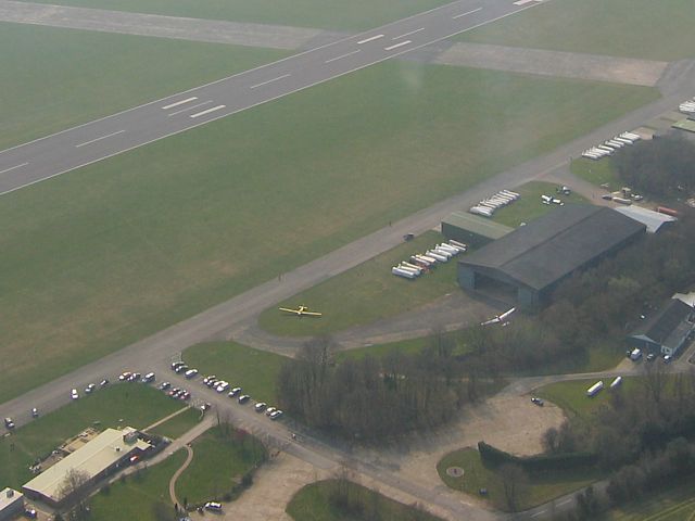
KingsclereStrip1.jpg
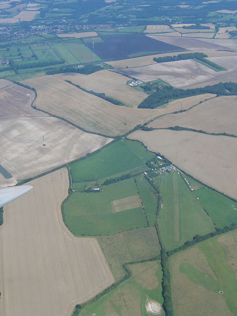
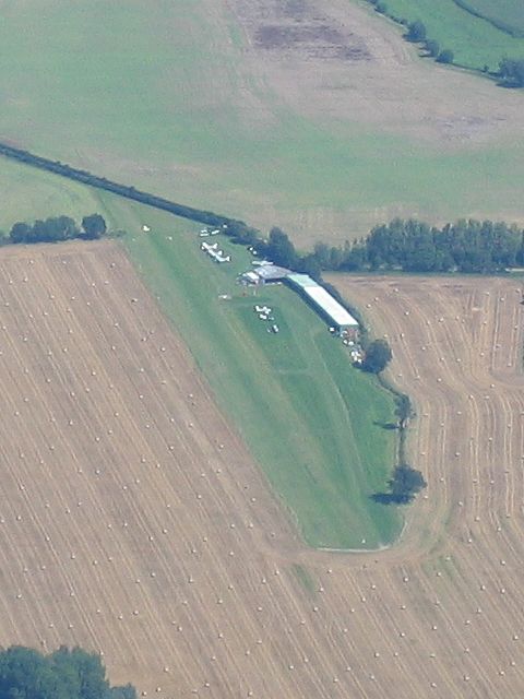
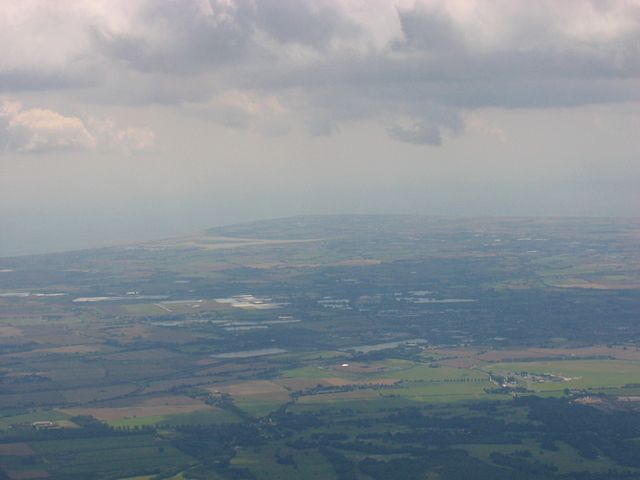
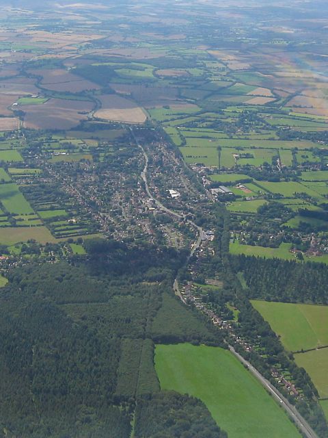
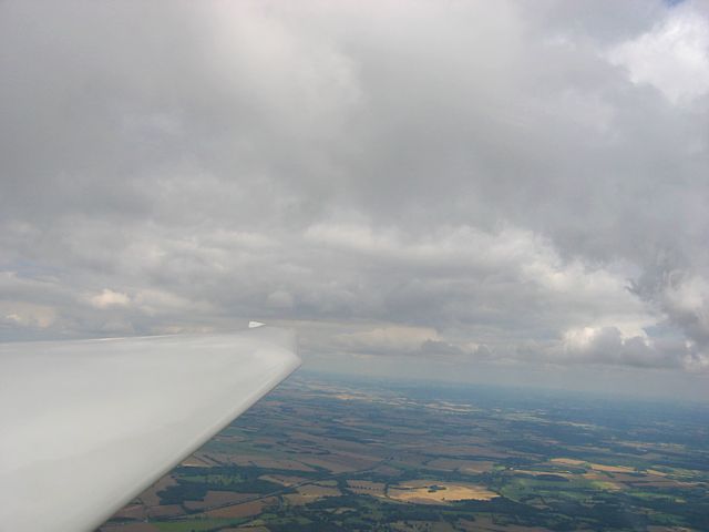
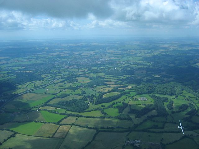
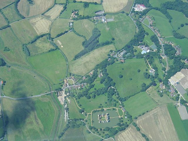
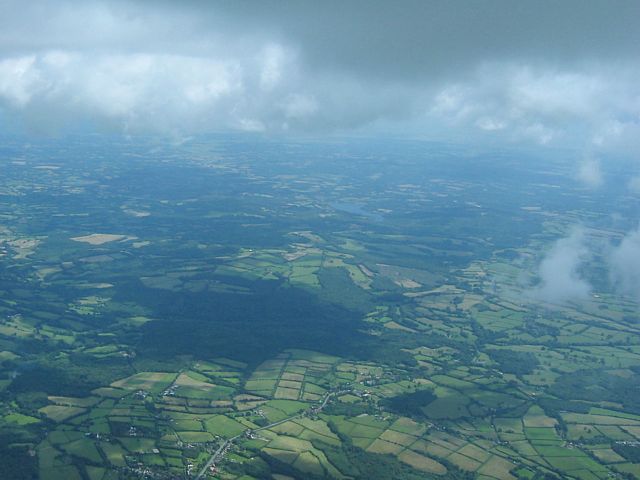
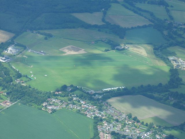
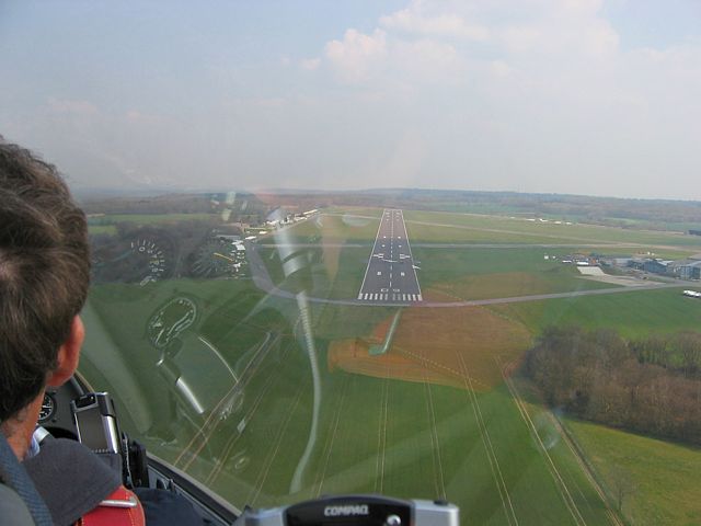
KingsclereStrip2.jpg
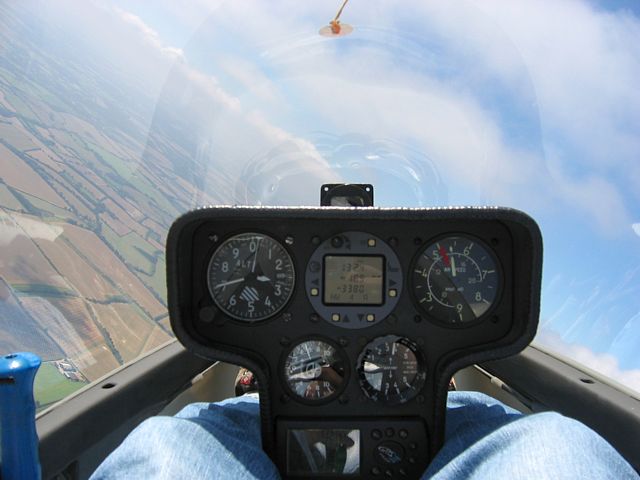
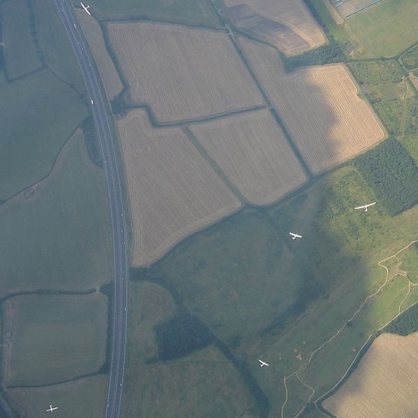
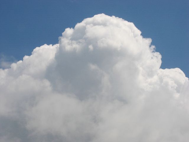
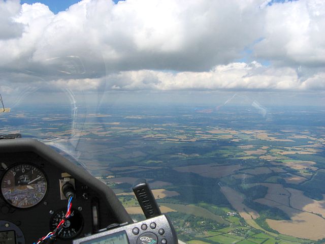
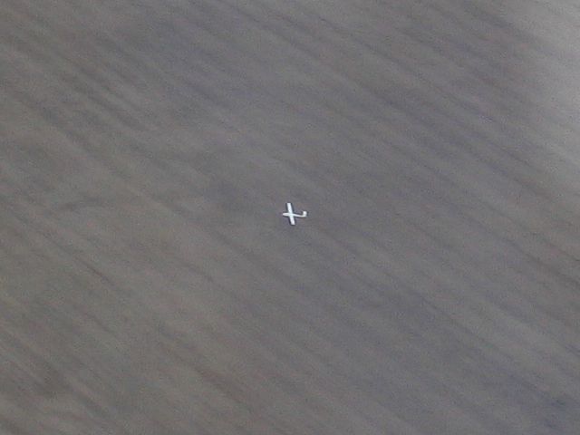
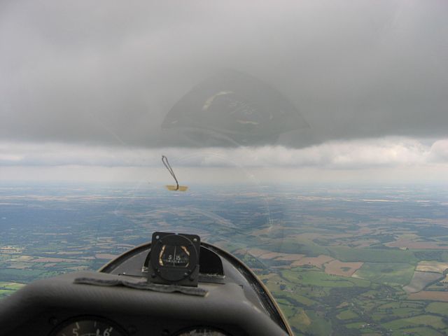
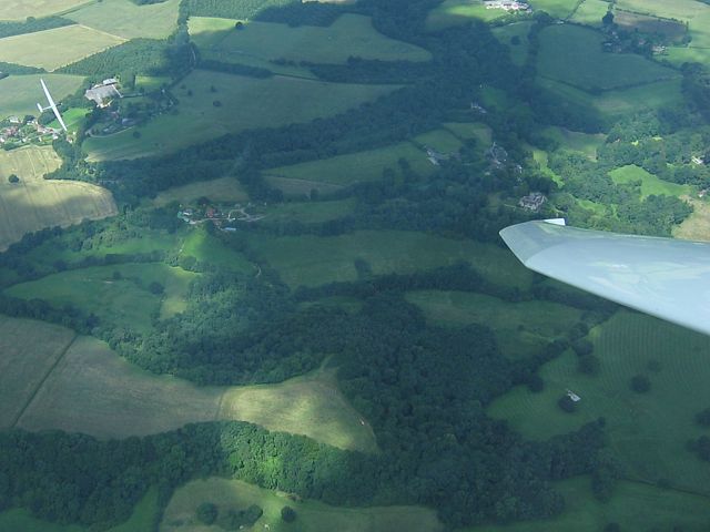
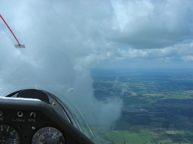
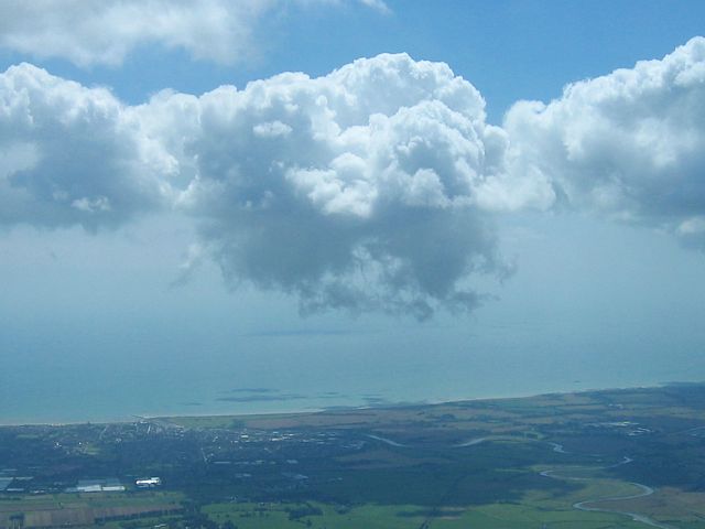
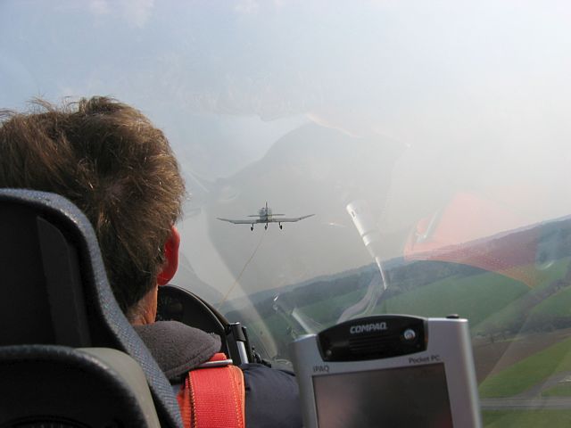
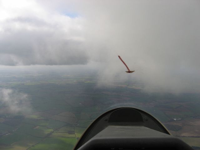
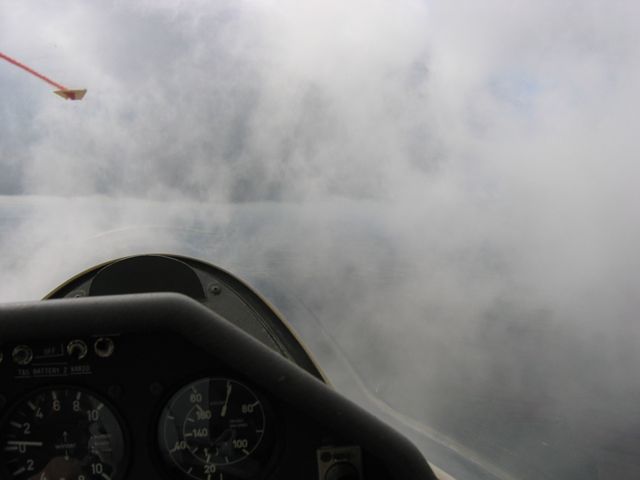
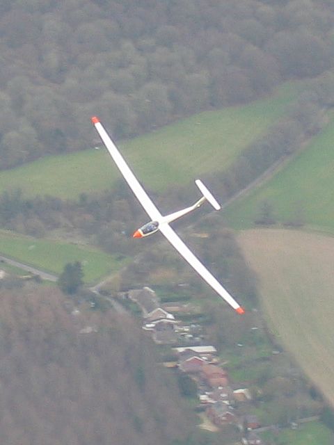
Turning.jpg
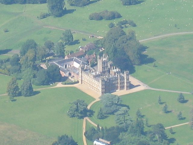
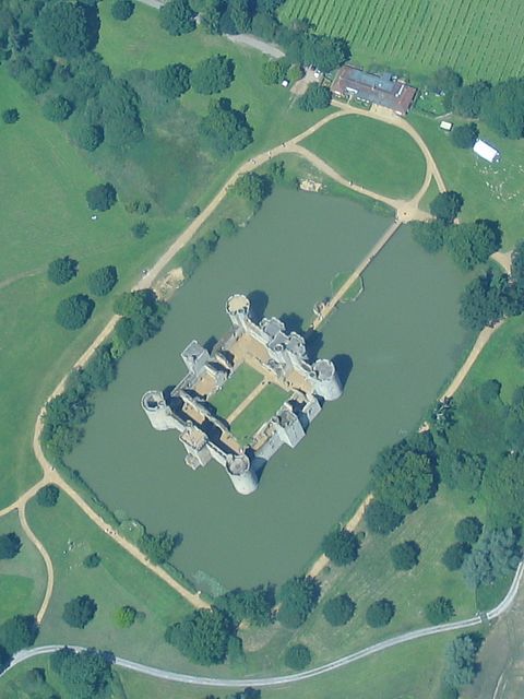
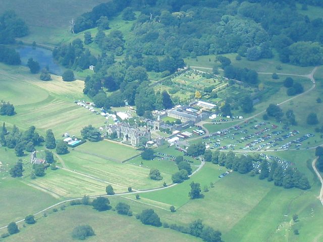
HighclereCastle1.jpg
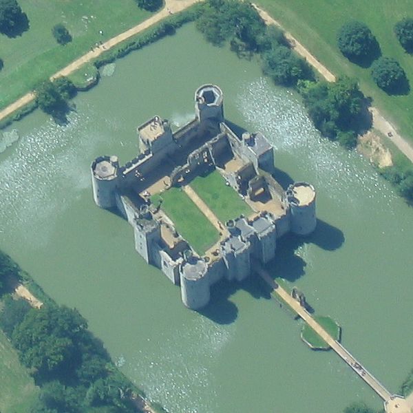
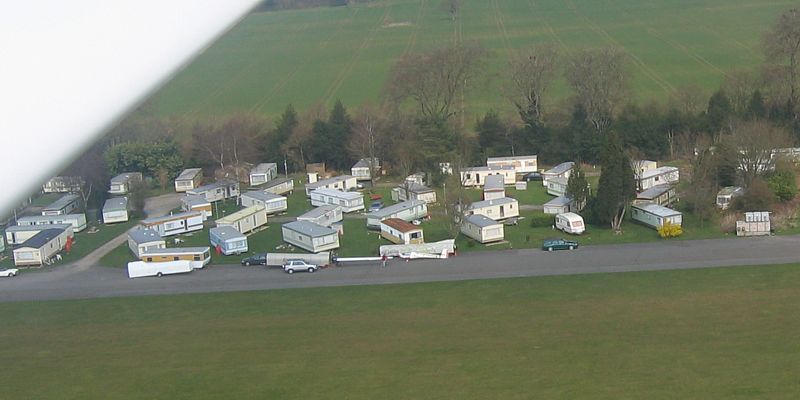
HighclereCastle2.jpg
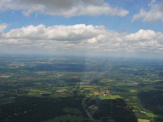
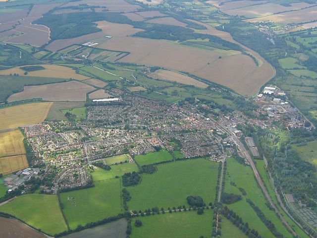
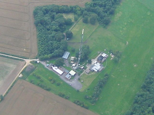
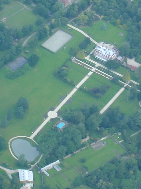
HighclerePark.jpg
Click here to return to the main Pictures index.
Click here to go to my 2007 diary.
Click here to go to the 2008 images.
Click here to view the Aboyne 2007 Pictures page.
Click here to go to the 2006 images.
I spent this period at Aboyne airfield between the Cairngorms and Aberdeen. These pictures are on their own page. Click here to see the Aboyne pictures.
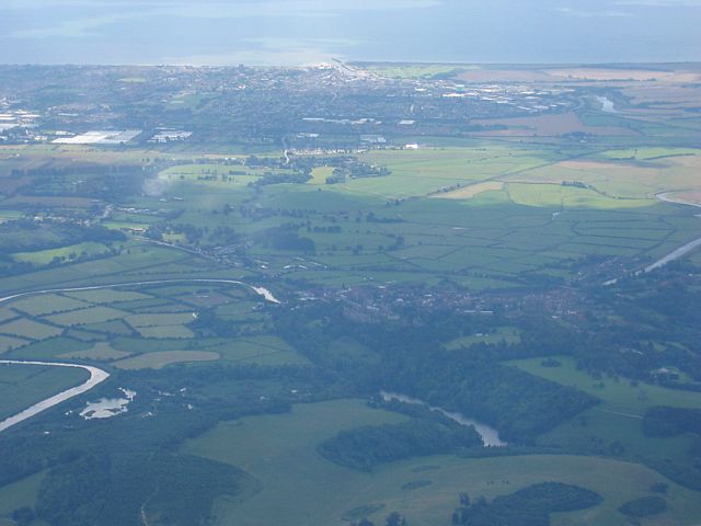
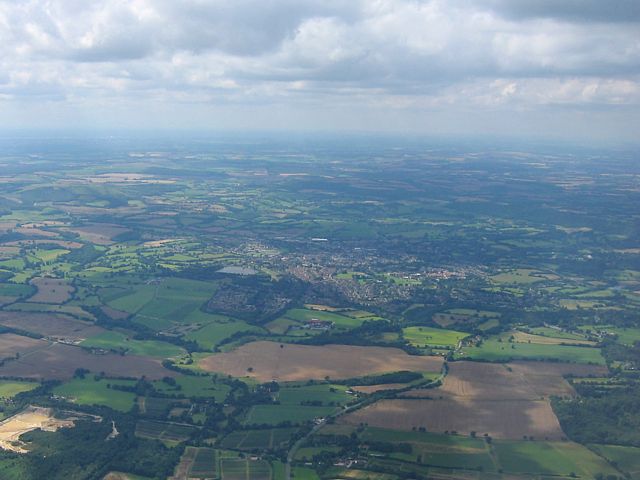
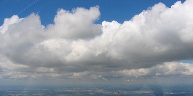
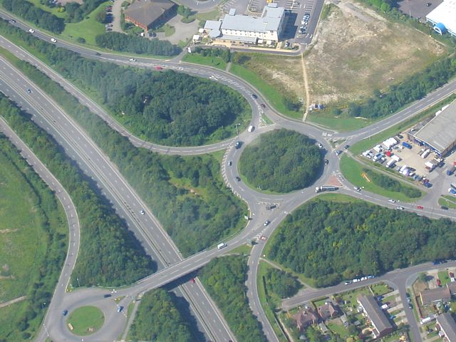
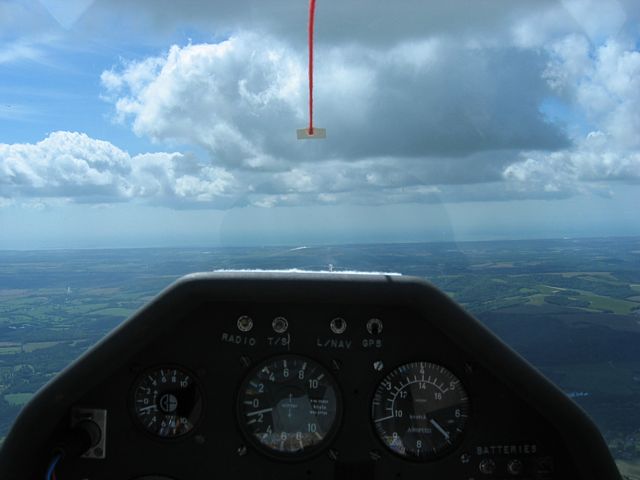
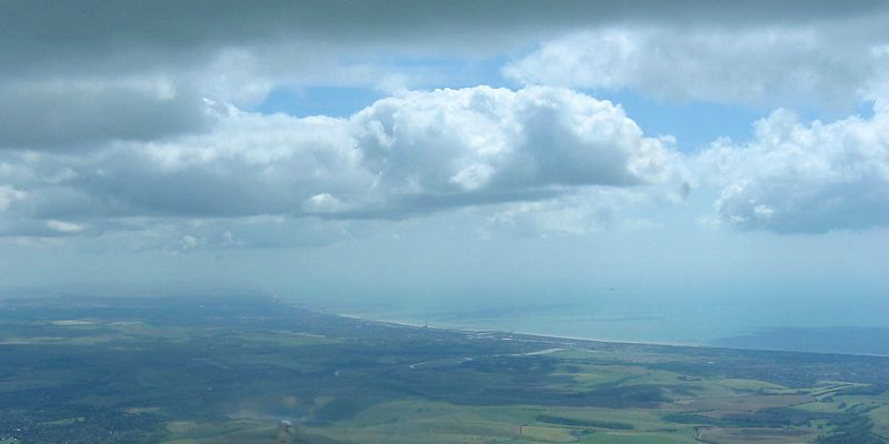
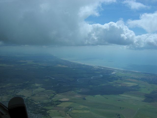
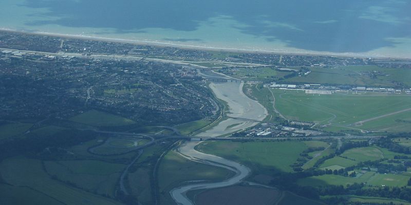
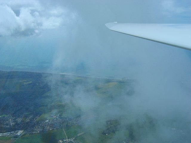
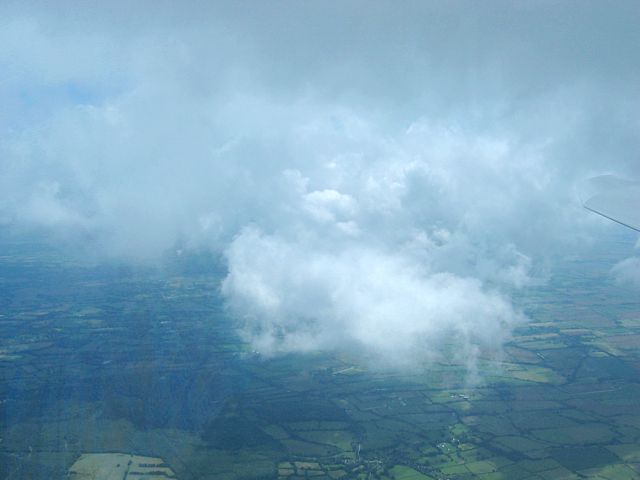
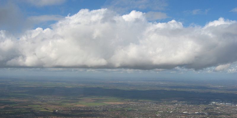
Another August day another competition going on, but atleast I got away before them this time. I didn't go too far but had fun in the increasingly blue conditions. I flew LAS-NES-CBN-CHV-LAS plus some local soaring and landed as some competition finishers came back. See the gliding diary for details as usual of course.
|
KingsclereStrip1.jpg |
KingsclereStrip2.jpg |
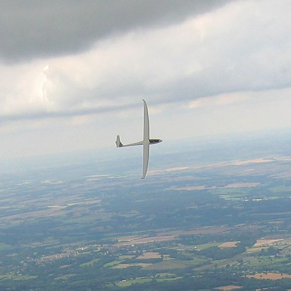
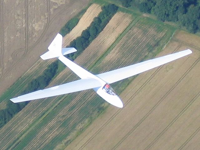
Turning.jpg |
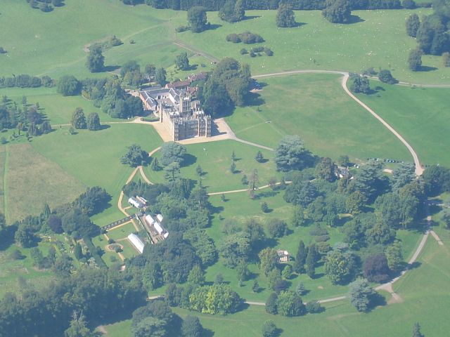
HighclereCastle1.jpg |
HighclereCastle2.jpg |
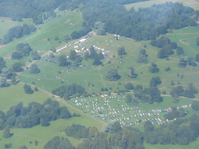
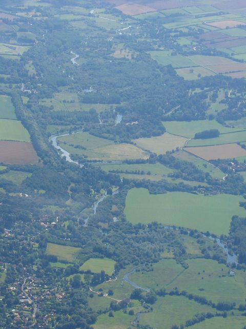
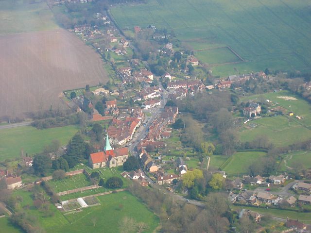
HighclerePark.jpg |
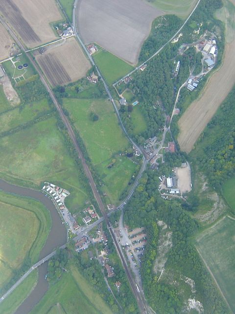
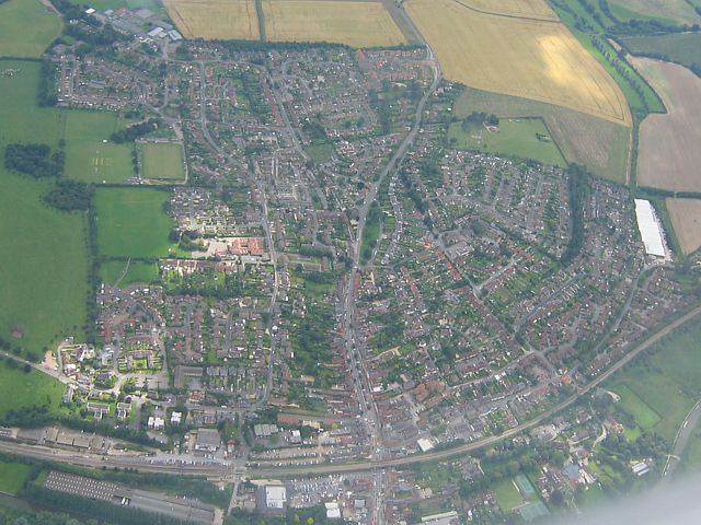
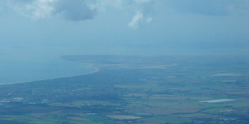
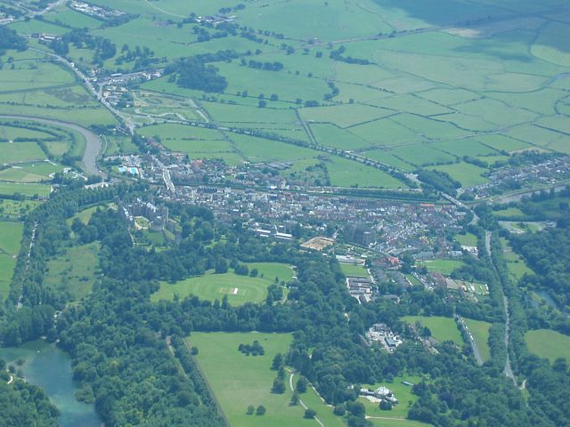
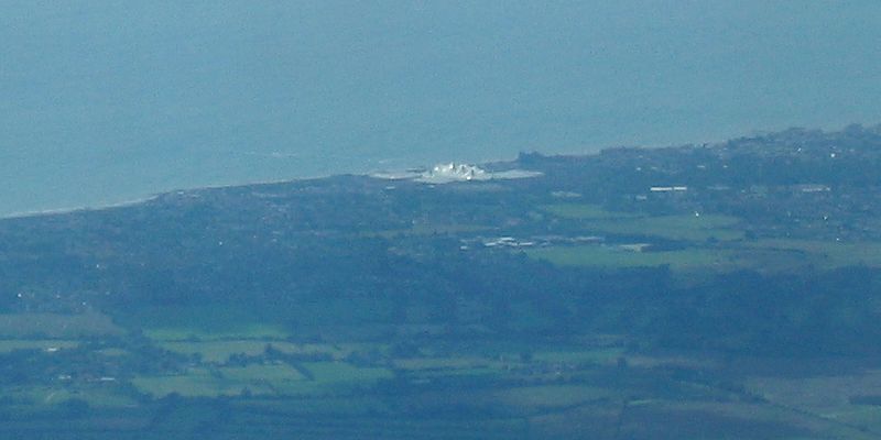
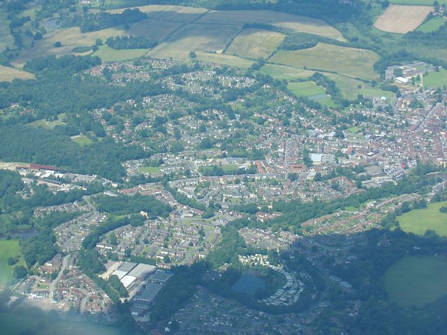
| I spotted this air strip just south of Kingsclere mast. Useful to know in case of landout! | Turning into a good thermal core. | Highclere Castle, to the south of Newbury. | A fair in Highclere Park just north of the castle. | ||
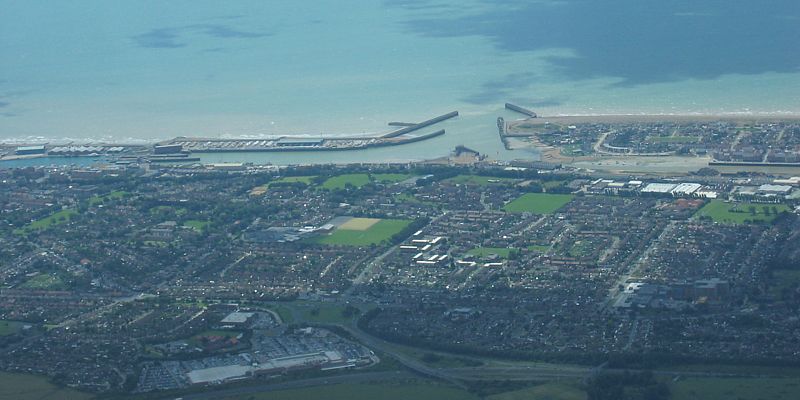
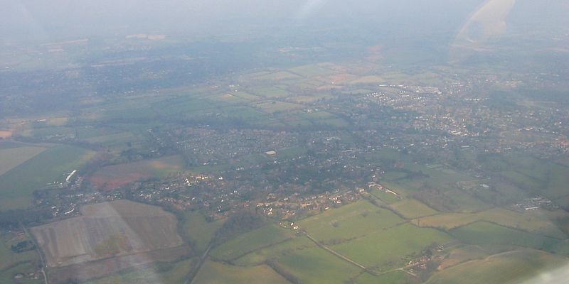
 NewburySouth.jpg |
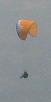 Paraglider1.jpg |
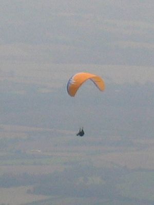 Paraglider2.jpg |
 Chilbolton1.jpg |
 Chilbolton2.jpg |
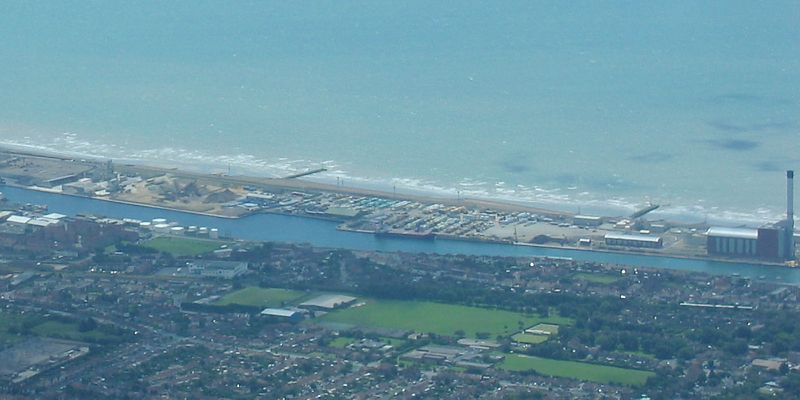
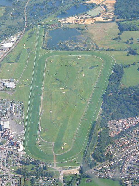 NewburyRacecourse.jpg |
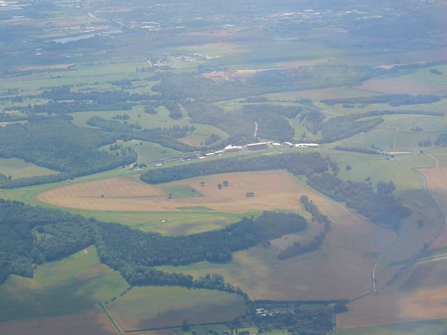
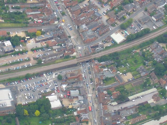
| Newbury South (NES) turn point from the SE. | A paraglider seen just East of Andover. | Turning Chilbolton (CBN). The second shot looks north to Chilbolton itself. | Newbury Racecourse from the West. | ||
 GreenhamCommon.jpg |
 Brimpton.jpg |
 Aldermaston.jpg |
| Greenham Common from the NW. | Brimpton from the West and Aldermaston from the NW (looking back towards Lasham). | |
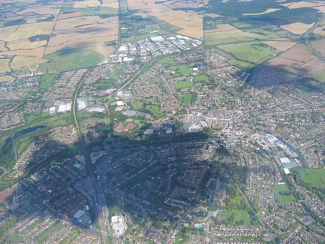
A late launch didn't stop me going on a quick 200km romp. During this flight I passed Hell Coppice and Oakley Wood, where 24 hours earlier I saw and photographed my first Brown Hairstreak butterfly (see Butterflies and Moths piccies pages). Was also nice to see Didcot, Bicester and Silverstone again. Task was Lasham-Didcot-Silverstone-Lasham (202km). I was glad to just be in the air today as initially I failed to get a glider in the ballot. But then the DG300 393 was back after being away all summer for repairs following a crash in April. I was the first Lasham member to fly it since it's test flight by the repairer. My 200km 'test flight' passed with flying colours. ;)
 HellCoppice.jpg |
 OakleyWood.jpg |
 GlidersBelow.jpg |
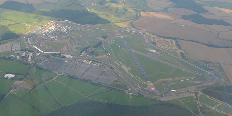 Silverstone.jpg |
 OxfordUni.jpg |
| Hell Coppice from the South. The Brown Hairstreak was spotted near where the path / clearing from the north meets the road. | Oakley wood from the South. Another BH spotted near the edge of the fields to the lower left. | Lots of gliders way below me in my thermal Northeast of Oxford. The road below I think is the M40. | Nice to see Silverstone again! | A very hazy view of Oxford University from the East as I head back south. |
I was on holiday this week. Here are pictures I took while flying LAS-PARham-HUNgerford-OVErton-ANDover-LAS for 216km.
 BusyLaunchpoint.jpg |
 Selsey.jpg |
 CumulusTower.jpg |
 ArundelLittlehampton1.jpg |
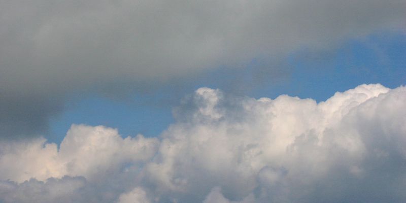 Clouds1.jpg |
 ArundelLittlehampton2.jpg |
| Lasham launchpoint as I set off on task. | Looking south to Selsey. | Looking up ahead at a lovely looking cumulus. | As I get close to Amberley I look south again. | Thermals starting to street nicely. | Looking south again as I reach Amberley. |
 Amberley.jpg |
 Goodwood.jpg |
 Midhurst.jpg |
 Nyewood.jpg |
 Petersfield.jpg |
 StonkingSky.jpg |
| Looking down at Amberley as I turn (view from the south). The turnpoint is where the road and railway cross. | Passing Goodwood as I push back upwind. | Midhurst from the Southeast. | Nyewood from the Northwest. | Looking towards Peterfield from the East. | Stonking sky ahead. |
 LookingNorth.jpg |
 Alton.jpg |
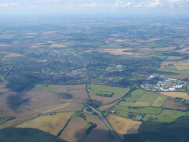
 LashamToNorth.jpg |
 FourMarks.jpg |
 Clouds2.jpg |
 GliderInField.jpg |
| Looking north towards danger area D130. | Alton from the Southwest. (Mind the map reflections.) | Looking North to Lasham. Some excellent cloudstreets here. | Four Marks from the Northeast. | More decent looking cumulus clouds. | Glider in huge field just Northwest of Alton. |
 Hungerford1.jpg |
 Hungerford1Zoom.jpg |
 SpreadoutSouth.jpg |
 SpreadoutNorth.jpg |
 SpreadoutAhead.jpg |
 Hungerford2.jpg |
| Looking down on the Hungerford turnpoint (the railway bridge) from the North. | Near Hungerford the spreadout was quite severe as you can see. Not much sun on the ground except to the South where the better and drier air is. It is that way I eventually went (via Overton to get round a hole). | Looking back at Hungerford as I retreat Eastwards. | |||
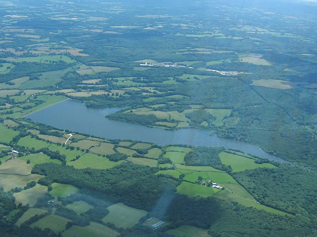
 Kennet.jpg |
 Kintbury.jpg |
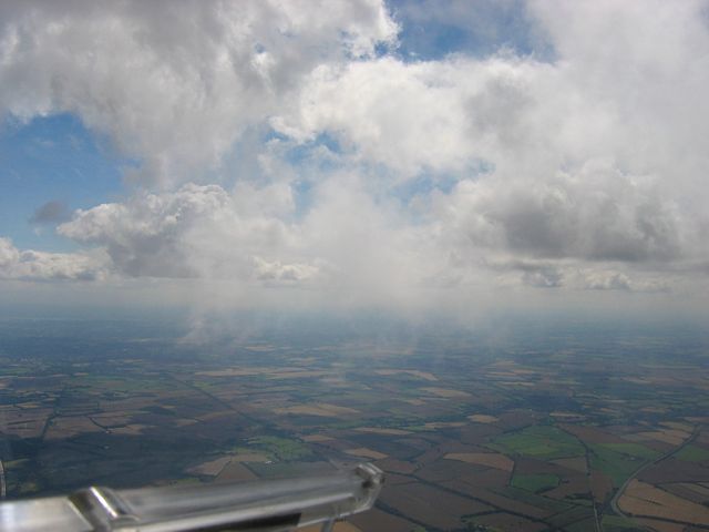
 Clouds3.jpg |
 Clouds4.jpg |
 Glider1.jpg |
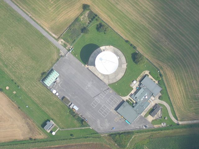
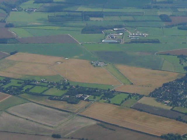
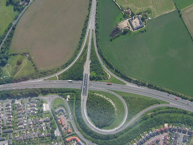
 KingsclereMast.jpg |
| Looking down at the A4, River Kennet, Kennet and Avon Canal and railway line East of Hungerford. | Kintbury from the West. | More spreadout. The clearer air to the south is more evident in the second picture now. | Sharing a strong thermal with another glider. | Kingsclere Mast from the Northeast. | |
 SpreadoutEdge.jpg |
 HeadingSouth.jpg |
 Overton.jpg |
 Clouds5.jpg |
 Chilbolton.jpg |
 Andover1.jpg |
| Finally escaping the spreadout and heading south to better air. The scraggy looking cloud above the yaw string produced one of my strongest thermals of the day at 6-8kts. | Overton from the East. | Cloudbase looks higher west of Overton. | Chilbolton from the North. | Approaching Andover from the East. | |
 RiverTest.jpg |
 Glider2.jpg |
 BullingtonCross.jpg |
 Whitchurch.jpg |
 AndoverWest.jpg |
 Andover2.jpg |
| River Test looking South. Chilbolton just off picture to the left. | I had company again near Andover. Shame it was overexposed. | Bullington Cross from the West. | Whitchurch from the Southwest. | The Westernmost Andover A303 junction (one West of turnpoint). | Looking back Eastwards over Andover from the turnpoint. |
 AND.jpg |
 Homebound.jpg |
 Popham.jpg |
 Clouds6.jpg |
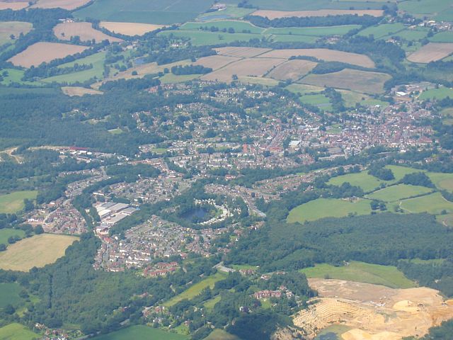
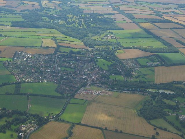
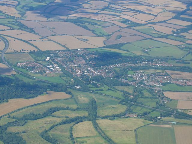
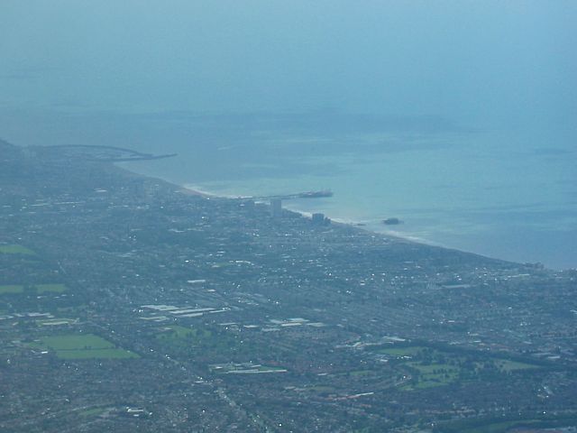
 Kingsclere.jpg |
 Clouds7.jpg |
| AND turnpoint (bridge over the A303) from the Northeast. | Time to go home. Looking Eastwards towards Lasham and some excellent thermal clouds. | Popham airfield from the North. | Another cloudshot. | Kingsclere from the South. | Looking North to the spreadout, cloudbase is obviously below me. (Aldermaston below my wing.) |
After a total washout for me in June it was so nice to be back in the air after getting lucky in a severely
depleted ballot. In the end it was a gorgeous romp along the south coast to Bodium Castle, with a surf along the sea
breeze front the only way I get get back again past Brighton where airspace comes almost to the coast. These pictures
come from that part of the flight. However after that I carried on (after almost falling down at Lasham) to Burbage
and back to complete a 318km task. Thanks to that sticky bit near Lasham mid way through it took me 5 hours, but it
was a glorious 5 hours. I suspect the slight blue tint on many of the cloud shots is a result of SH3's tinted
canopy. Meanwhile thanks to those who helped me to identify Arundel and Midhurst!
TODO: Some of the pics have come out rather dark. I need to come back and brighten them slightly. I might eventually
have a go at correcting the blue tint.
 LissFromNW.jpg |
 LookingSouthFromLiss.jpg |
 LissThermalSharing.jpg |
 HeadingSSEFromLiss.jpg |
 SeaAhead.jpg |
 SouthDownsLookingNE.jpg |
| Pictures taken during the outbound leg away from Lasham. I went south and southwest past Liss and Midhurst and on towards the South Coast and South Downs. | |||||
 ParhamFromSW.jpg |
 Worthing.jpg |
 LookingEastToBrighton.jpg |
 570.jpg |
 BrightonFromWNW.jpg |
 AdurEstuary.jpg |
| Heading past Parham to my North and Worthing to my South, and looking ahead to Brighton. | Lasham glider 570 blasting past me. | Closing in on Brighton, where conditions were stonking under those big cu's. | Passing the Adur Estuary to my South. | ||
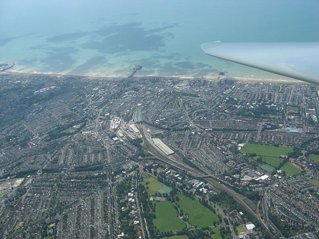
 Brighton1.jpg |
 Brighton2.jpg |
 DevilsDykeFromS.jpg |
 Brighton3.jpg |
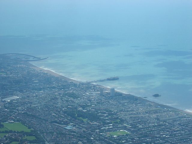 Brighton4.jpg |
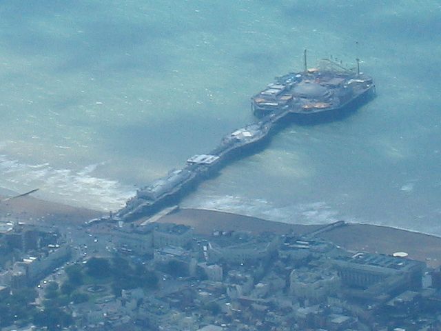 BrightonPier.jpg |
| Two shots as I start to overfly Brighton. | Devil's Dyke (DDK). Looks small from up here! | More shots of Brighton. | Closeup of Brighton Pier. | ||
 Brighton5.jpg |
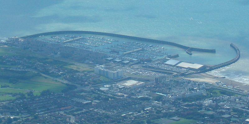 Brighton6.jpg |
 LowCloud1.jpg |
 Ringmer.jpg |
 LowCloud2.jpg |
 DarwellResr.jpg |
| Brighton city centre. | The marina. | East of Brighton the sea air starts to make its presence felt. | Ringmer airfield. | More low cloud as the sea air convergeance builds. | Darwell Reservoir. |
 BodiamApproach.jpg |
 Bodiam.jpg |
 BodiamCastle1.jpg |
 BodiamCastle2.jpg |
 BodiamCastleSW.jpg |
 Building.jpg |
| Some pleasant looking country residences near Bodiam. | Bodiam and its famous castle which was my turning point. | A nearby building that caught my eye. | |||
 Heathfield1.jpg |
 LowCloud3.jpg |
 LowCloud4.jpg |
 LookingEastFromHeathfield.jpg |
 Heathfield2.jpg |
 SeaBreeze1.jpg |
| I stopped at Heathfield for my last 'inland' thermal climb before hitting the Sea Breeze front. | Low cloud from the sea breeze front not far away now. | Looking back East to the Darwell Reservoir and beyond. | Thermal sharing at Heathfield. | And finally my first soar of a sea breeze front commences. | |
 SeaBreeze2.jpg |
 SeaBreeze3.jpg |
 LowCloud5.jpg |
 HeadingBackInland.jpg |
 LowCloud6.jpg |
 ParhamFromE.jpg |
| With low cloud above, below and left of me, especially after I had to dive to 3500 feet QNH because of airspace, the sea breeze was bloody good fun. | As I approach Parham and clear the 3500 airspace, I start to head inland again and leave the low cloud behind. | Back to Parham. | |||
 ParhamHouse.jpg |
 LowCloud7.jpg |
 Selsey.jpg |
 Arundel.jpg |
 BognorRegis.jpg |
 Midhurst.jpg |
 MilitaryAC.jpg |
| Parham House. | One last look at the cool sea breeze effect on cumulus. | Looking SW to Selsey. | Arundel. | Bognor Regis. | Midhurst. | Back near Lasham I missed a shot of the Red Arrows passing beneath me in formation, but got a shot of this aircraft. |
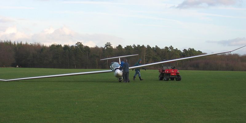
Roy Pentecost kindly offered me the back seat of his Duo Discus Turbo today. We went to the South Downs ridge and went to Lewes and back from Petersfield South. My first trip to the ridge. I didn't take many pictures though as visibility was awful and it was very rough at times in the strong and gusty wind. The few pics I did take are here of course. (I would like to return on a better ridge day and take more pictures of course.) Note that Duo Discus canopies are notorious for reflections and distortions so mind them when you look at the pics. Some of the shots required significant tone adjustment to dial out some of the haze too.
 TakeOff.jpg |
 SouthSide.jpg |
 StaticSite.jpg |
 TurningSouthOnTow.jpg |
 Tug.jpg |
 ButserHillMast.jpg |
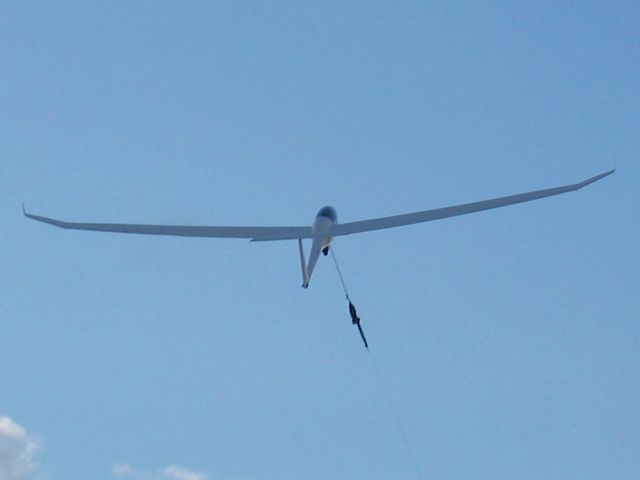
| Taking off from runway 09. | Looking to the south side of the airfield where the windsock is. | Eastern end of the static caravan site. | Turning South on tow towards Alton. | Closeup of the tug distorted by the canopy. | Mast at Butser Hill from Northeast. |
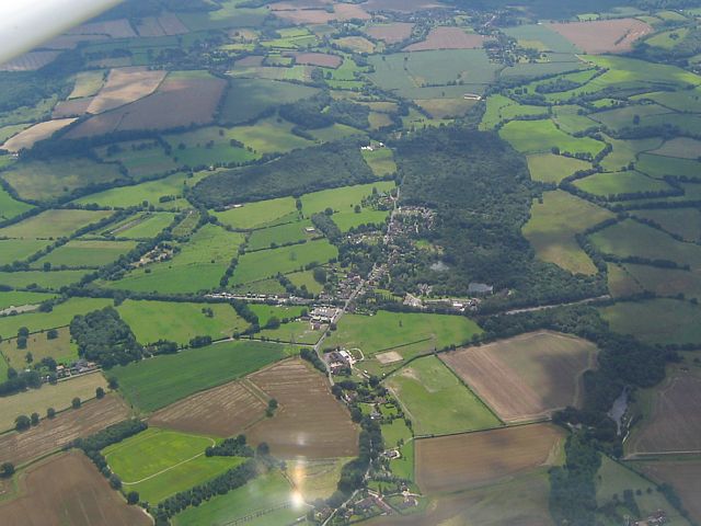
 Harting.jpg |
 Parham.jpg |
 Storrington.jpg |
 ClubhouseHangarEntrance.jpg |
 FinalApproach.jpg |
| Harting from the south. | Parham airfield from the Southeast. | Storrington from the Southwest. Parham airfield visible on left edge. | Back to Lasham. Flying past the clubhouse, Hangar and main entrance. | Final approach to runway 09. Nose is pointing 45 degrees to the left due to strong crosswind! |
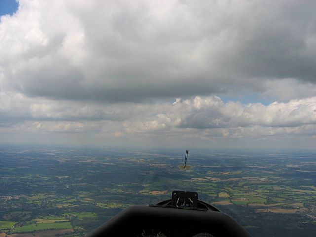
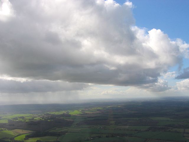
My first long soaring flight of the year. I didn't go cross country but had fun floating around cloudbase, nearly falling out the sky twice, flying through light showers and blasting up streets at 90kts while still climbing at 4kts. A mixed weather day, cloudbase not spectacularly high, but good fun to be back in the air soaring again.
 Cloudbase1.jpg |
 Cloudbase2.jpg |
 Wisps1.jpg |
 Wisps2.jpg |
 Cloudbase3.jpg |
 LashamUnderWing.jpg |
| Two shots from and just above cloudbase. A faint glory and another glider is visible in the second shot. | Two shots of low wisps of cloud. Some of these I flew straight through. | Another cloudbase shot. | Looking back under my wing towards Lasham. | ||
 Glider1.jpg |
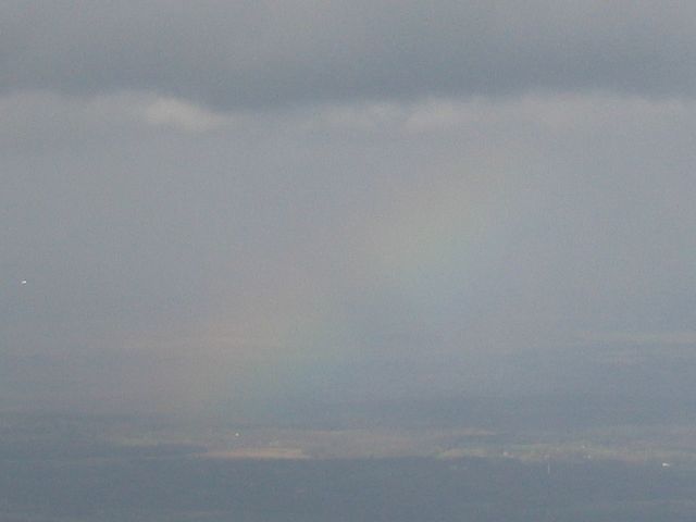 Rainbow1.jpg |
 Rainbow2.jpg |
 Cloudstreet1.jpg |
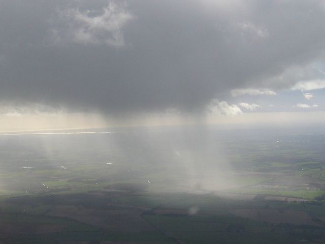
 Shower1.jpg |
 Cloudstreet2.jpg |
| A glider sharing my thermal. | Rainbows as showers start forming. | A huge cloudstreet just before I joined it. | A heavy shower to the south. | Carrying on Westwards up the cloudstreet. | |
 Glider2.jpg |
 Shower2.jpg |
 Cloudstreet3.jpg |
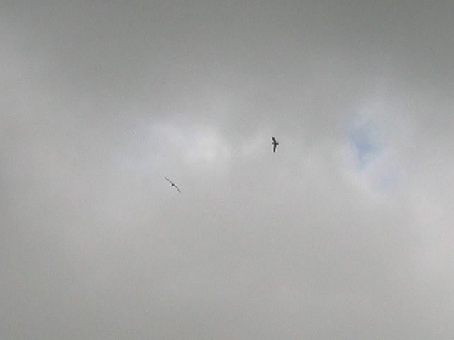 Buzzards.jpg |
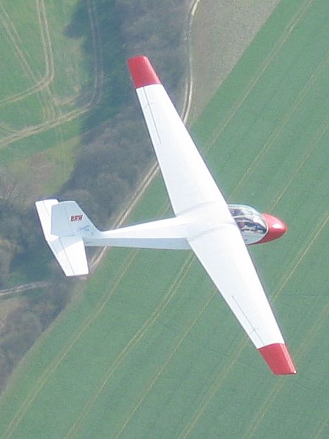 BRW1.jpg |
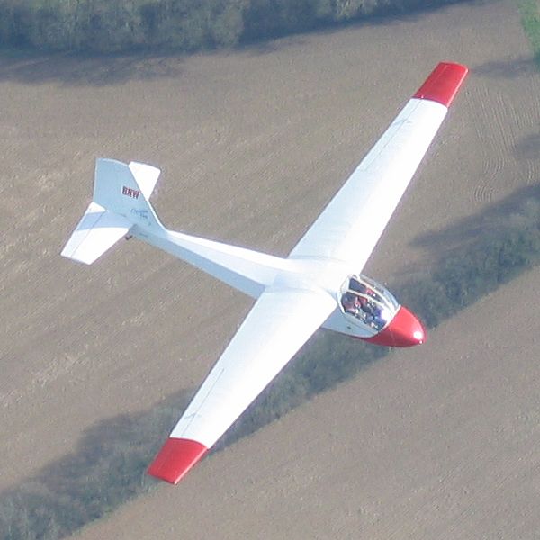 BRW2.jpg |
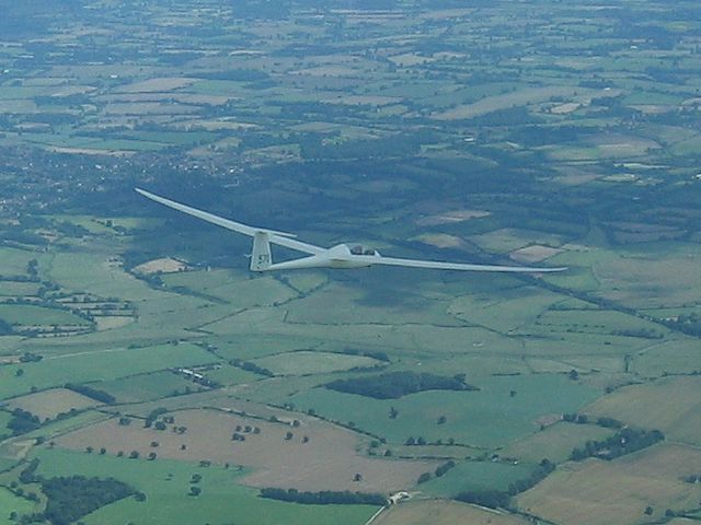
| Another glider sharing my thermal. | Shower to the South. Solent visible far beyond. | Cloudstreet over Basingstoke. I later found 5.5kt averages under there! | Buzzards just above me in the same thermal. | Two shots of a Capstan that I overtook as I flew up a cloudstreet. | |
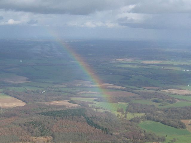
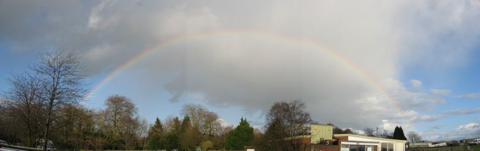 RainbowPanorama.jpg |
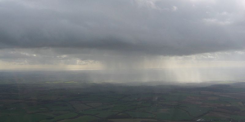
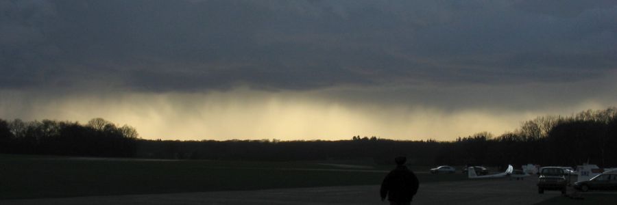 Shower3.jpg |
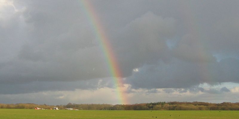 Rainbow3.jpg |
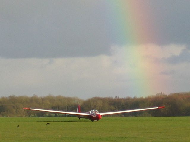 K13Rainbow1.jpg |
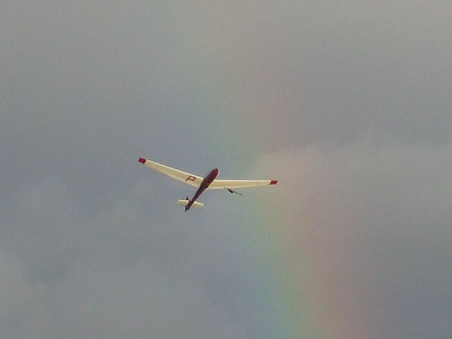 K13Rainbow2.jpg |
| Rainbow seen from the front of the clubhouse after landing. | Shower panorama, looking to the Western Horizon. Deliberate dark exposure to highlight streamers of rain. | Lasham launchpoint and a bright double rainbow. | Chris Lewis + pupil landing on a pot of gold??? | K13 winch launching through the same rainbow. |
A few pictures taken from the ground at Lasham airfield. My flights today were nothing special, just a couple of short hops on the winch. Well that's winter for you. But a few nice pics anyway. See the Weather 2007 page for more pictures from today.
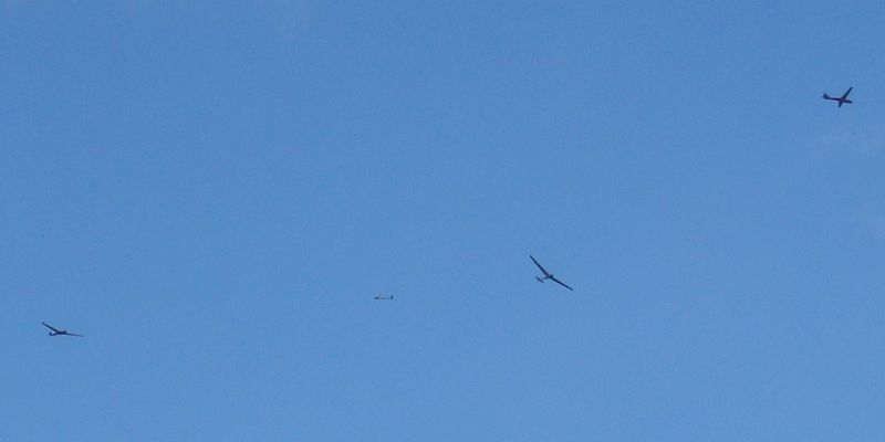 Gliders.jpg |
 45-1.jpg |
 45-2.jpg |
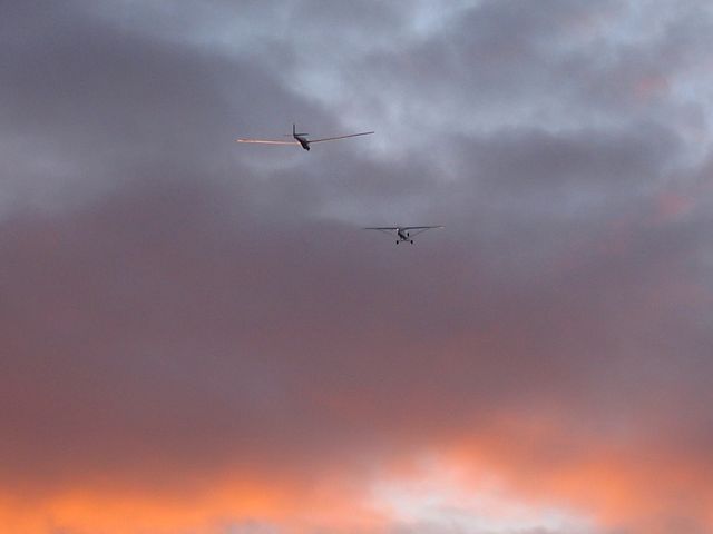 SunsetTow.jpg |
| Four gliders trying to stay up in a very weak winter thermal. They all landed soon after this shot! | Two shots of the new DG1000T 45, one on the winch launch, the other just after landing. | A K13 being towed by a Cub into the sunset. | |