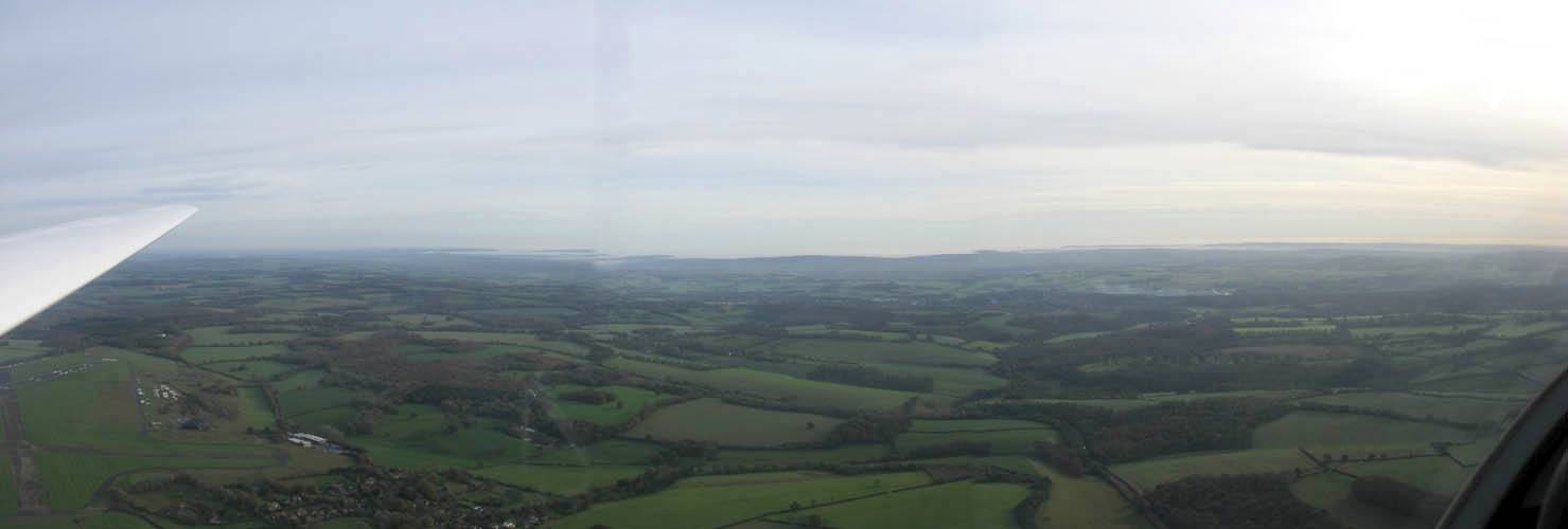
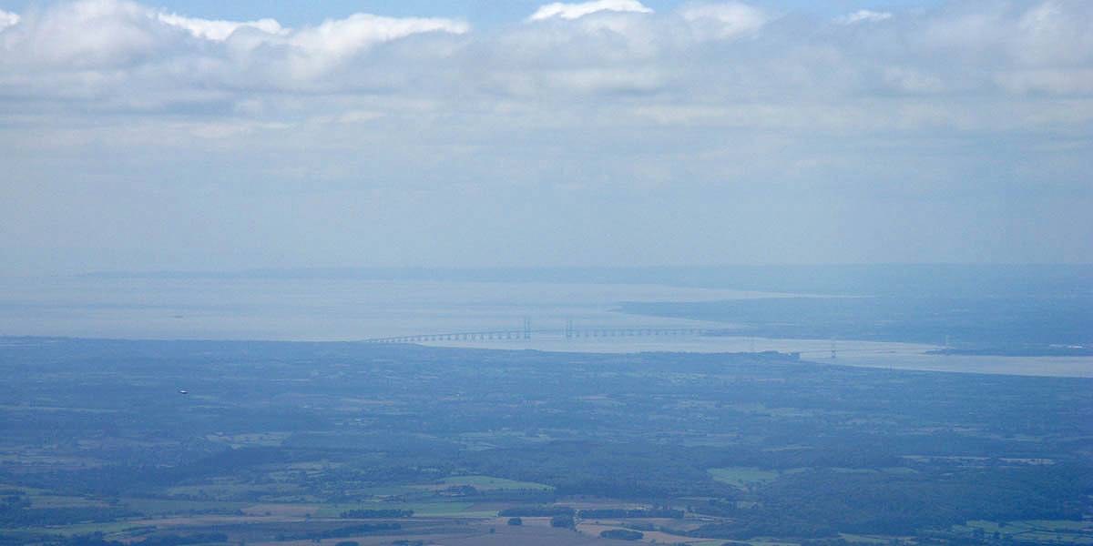
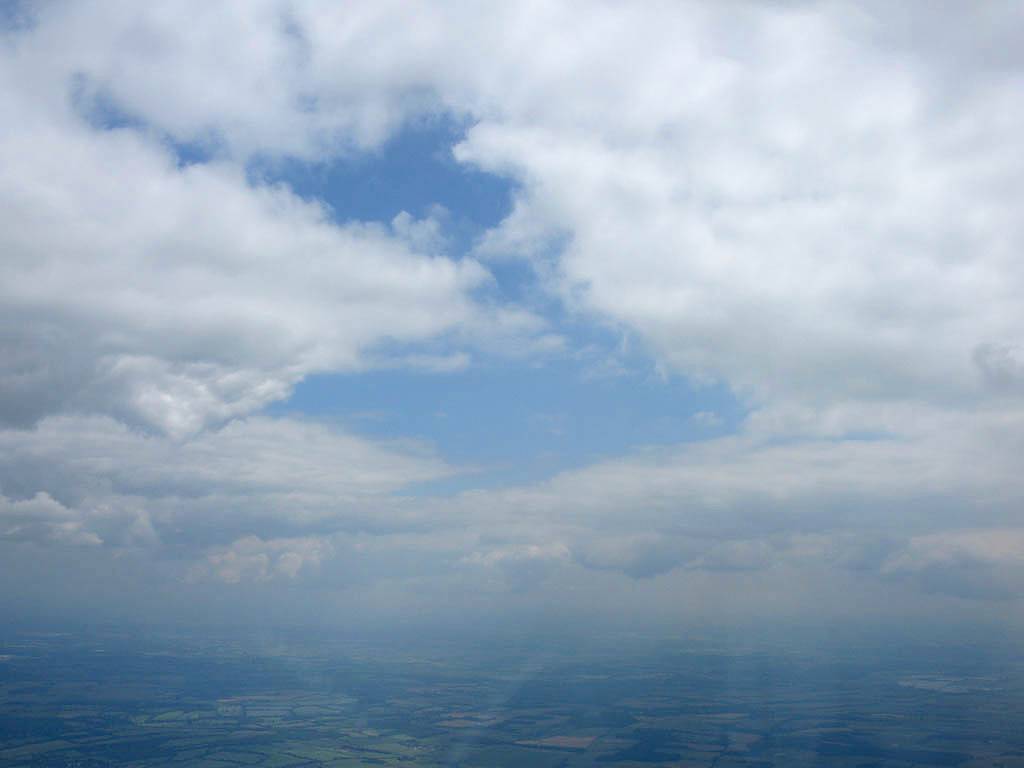
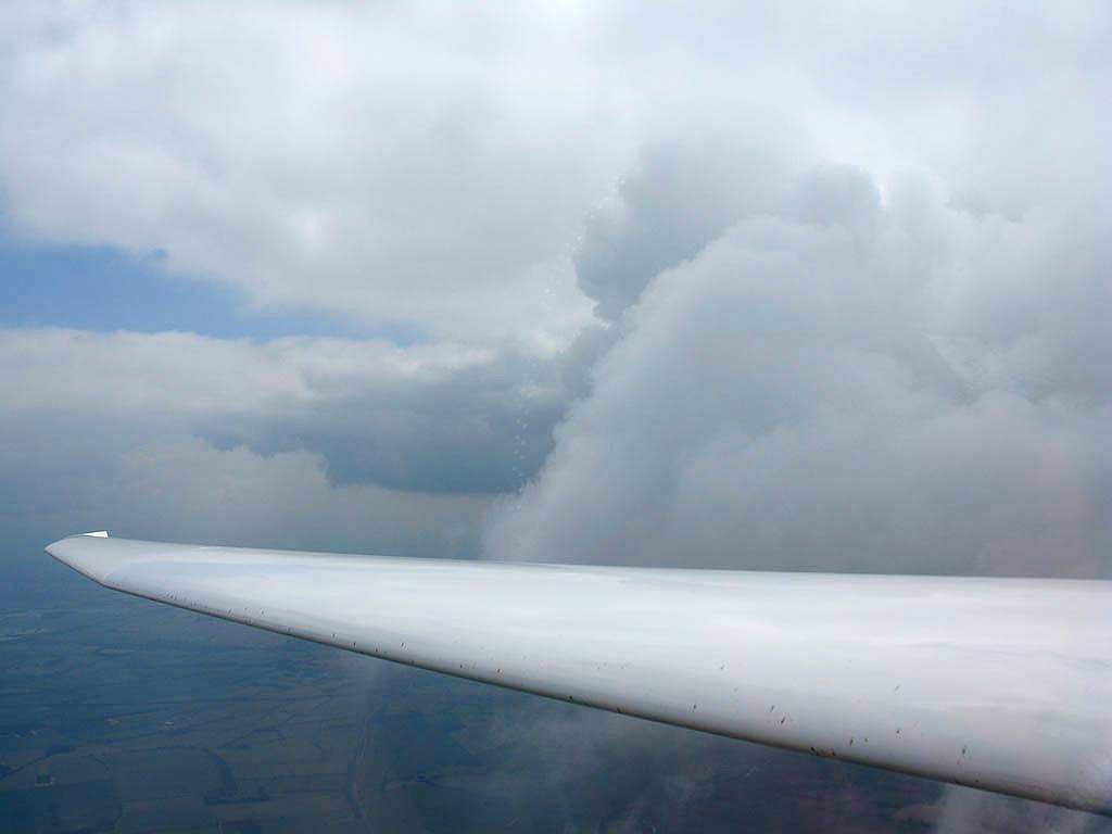
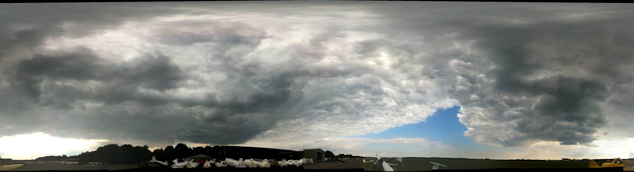
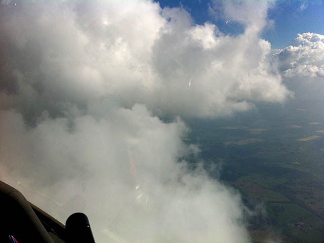
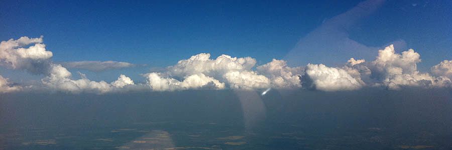
IMG_5978_5980_Panorama.jpg
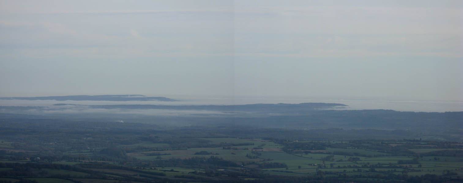
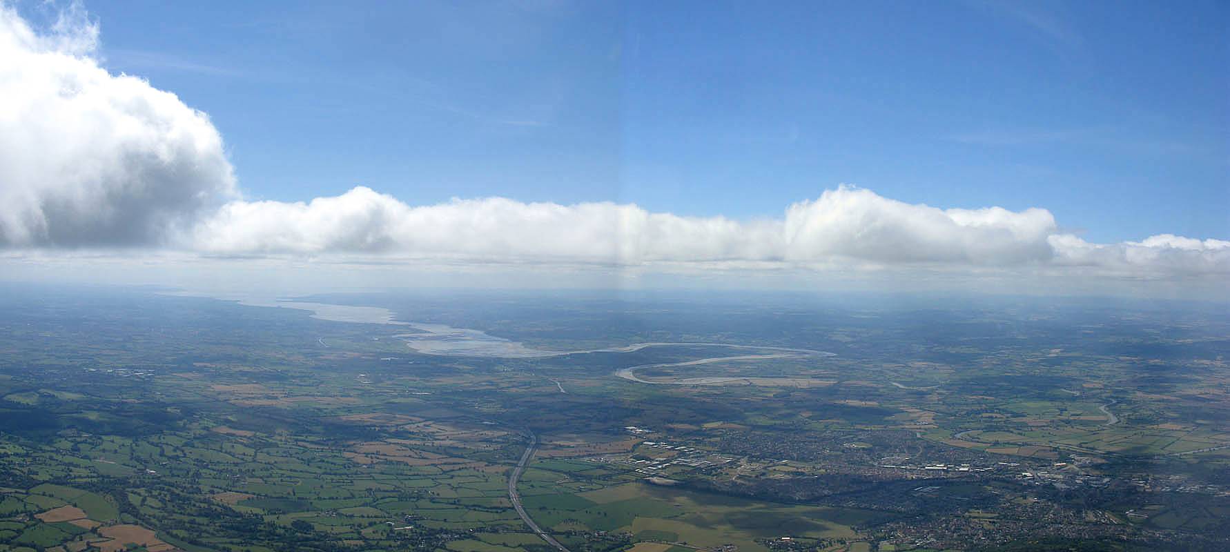
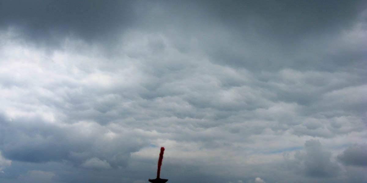
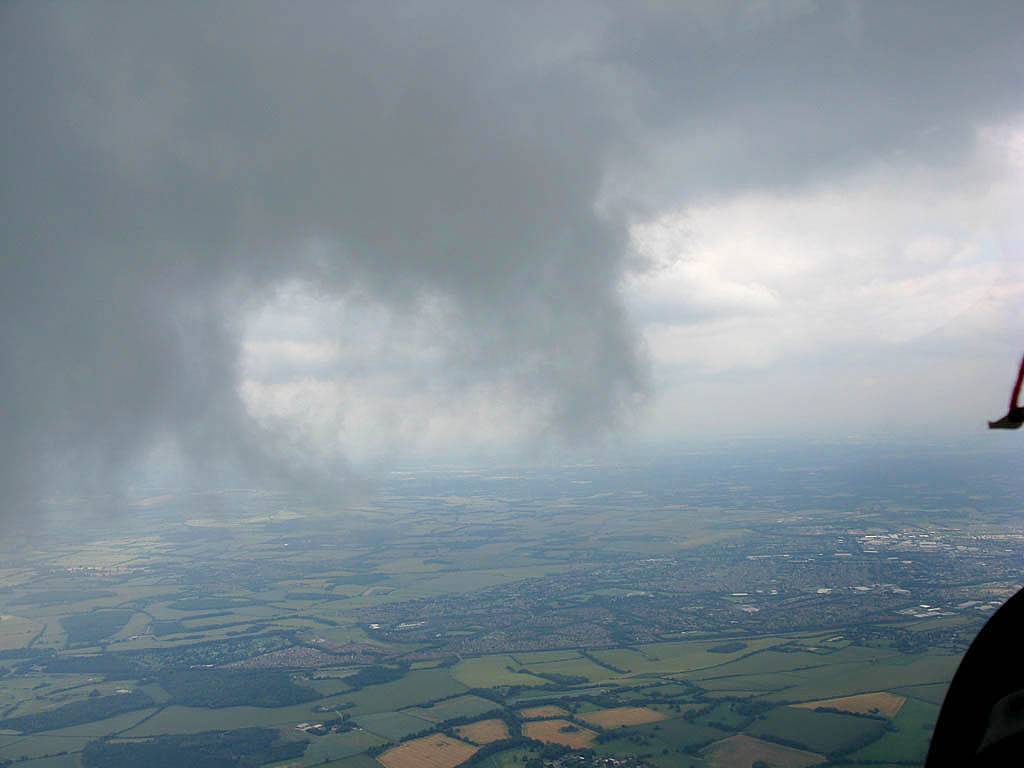
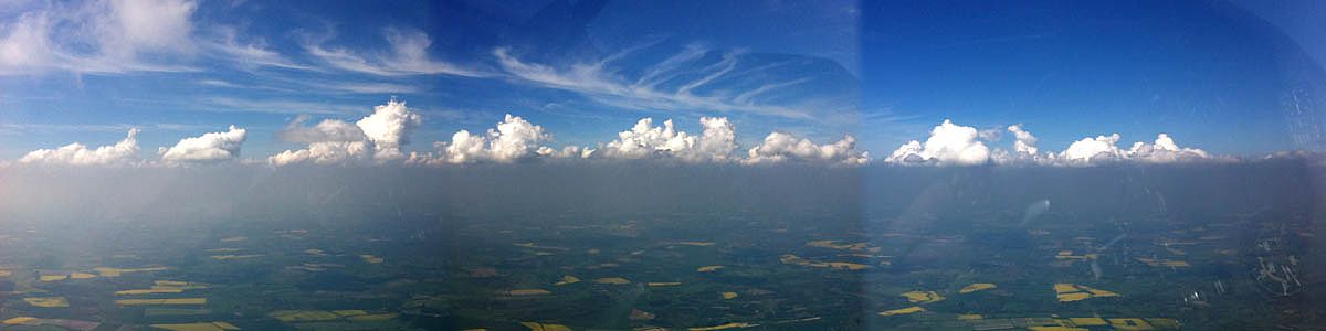
IMG_5983_5984_Panorama.jpg
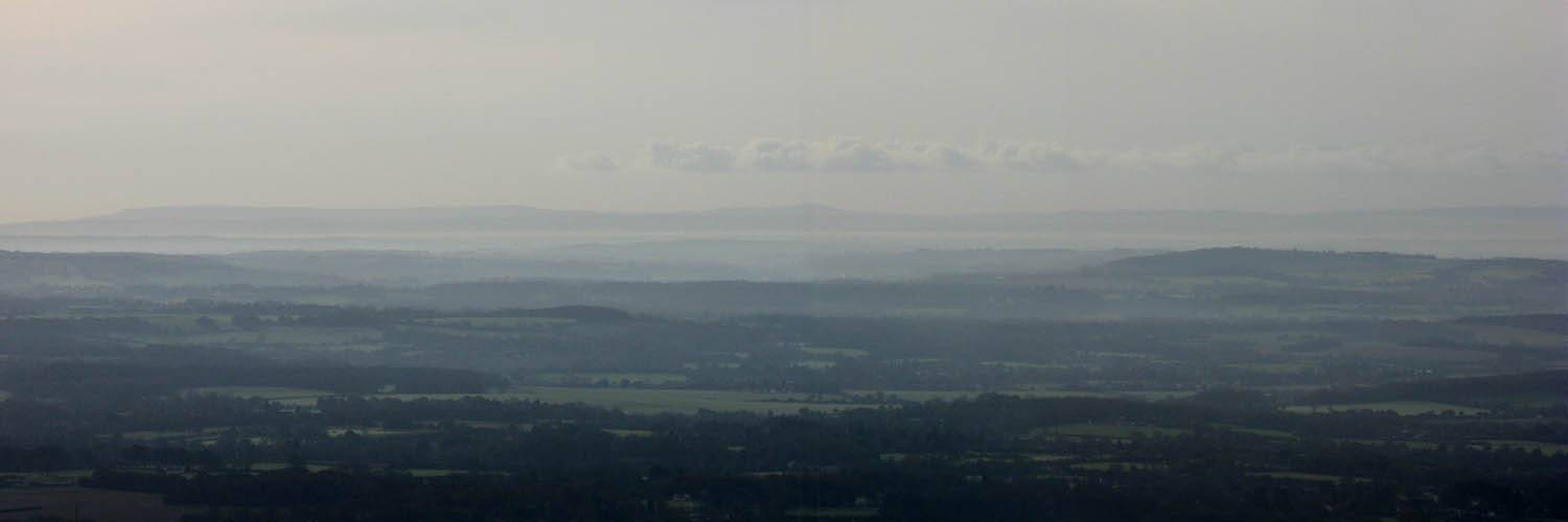
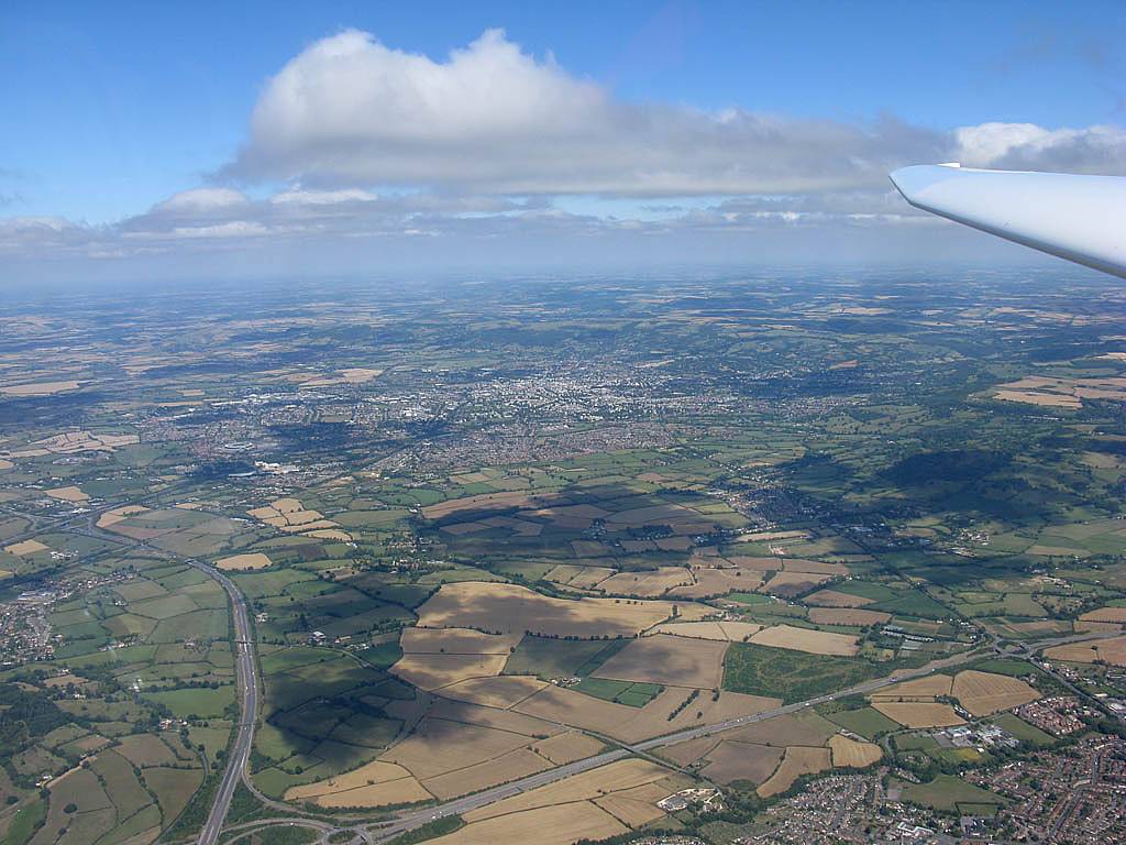
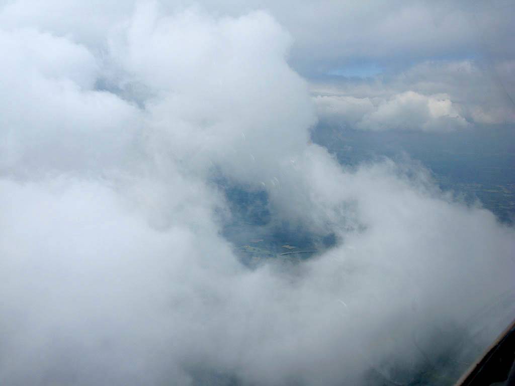
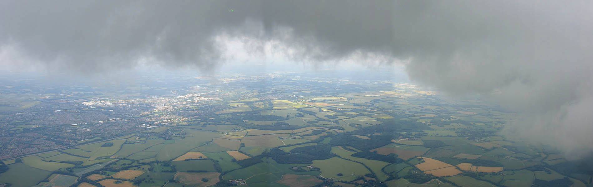
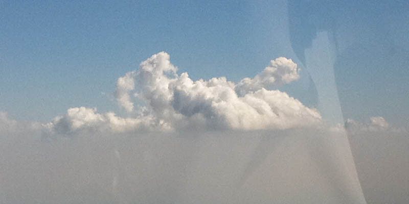
IMG_5990_5991_Panorama.jpg
Click here to return to the main Pictures index.
Click here to go to my 2011 diary.
Click here to go to the 2012 images.
Click here to go to the 2010 images.
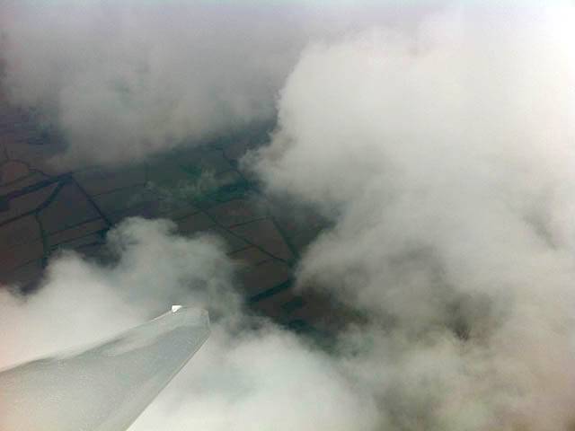
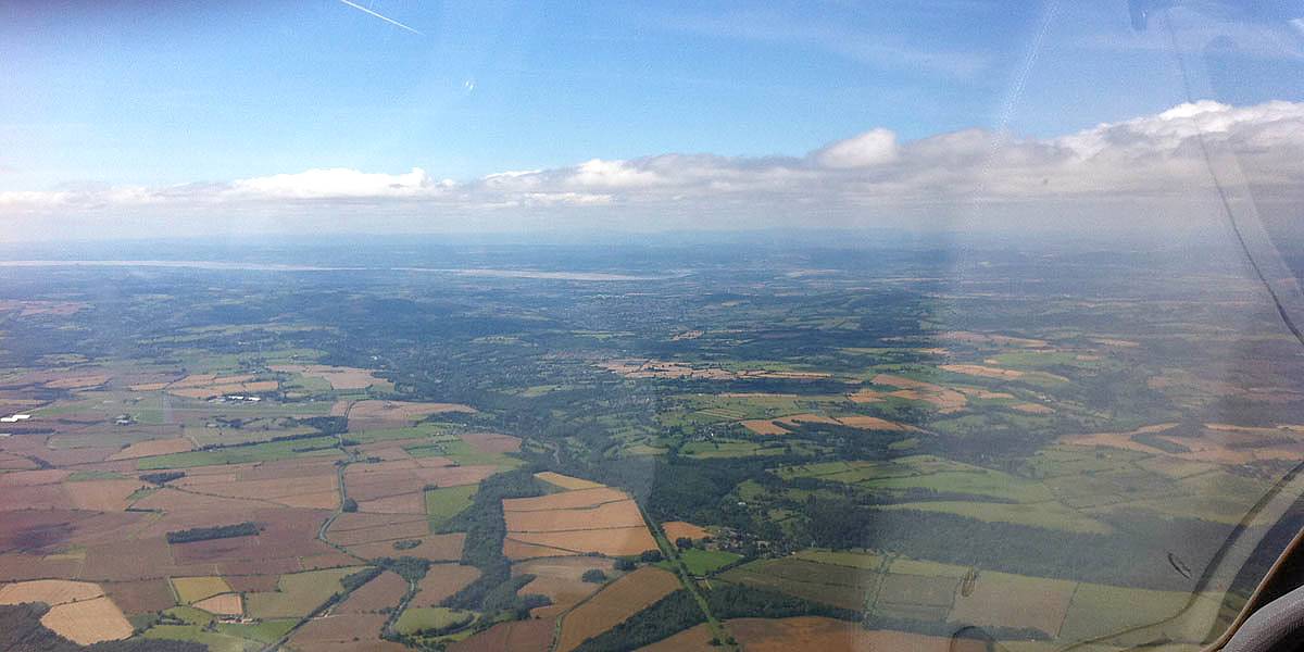
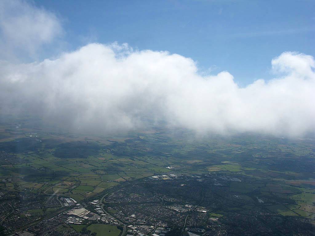
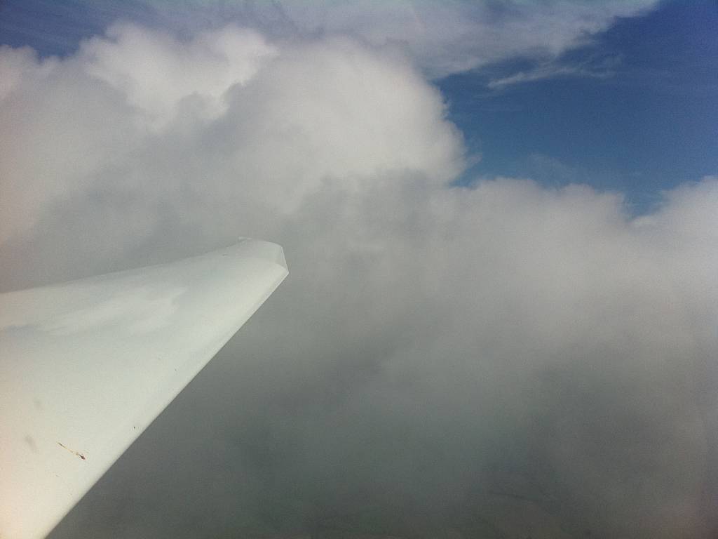
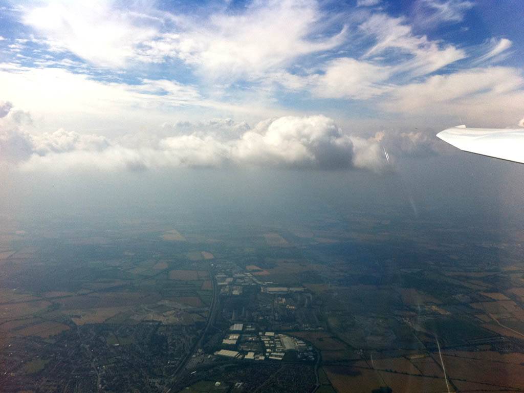
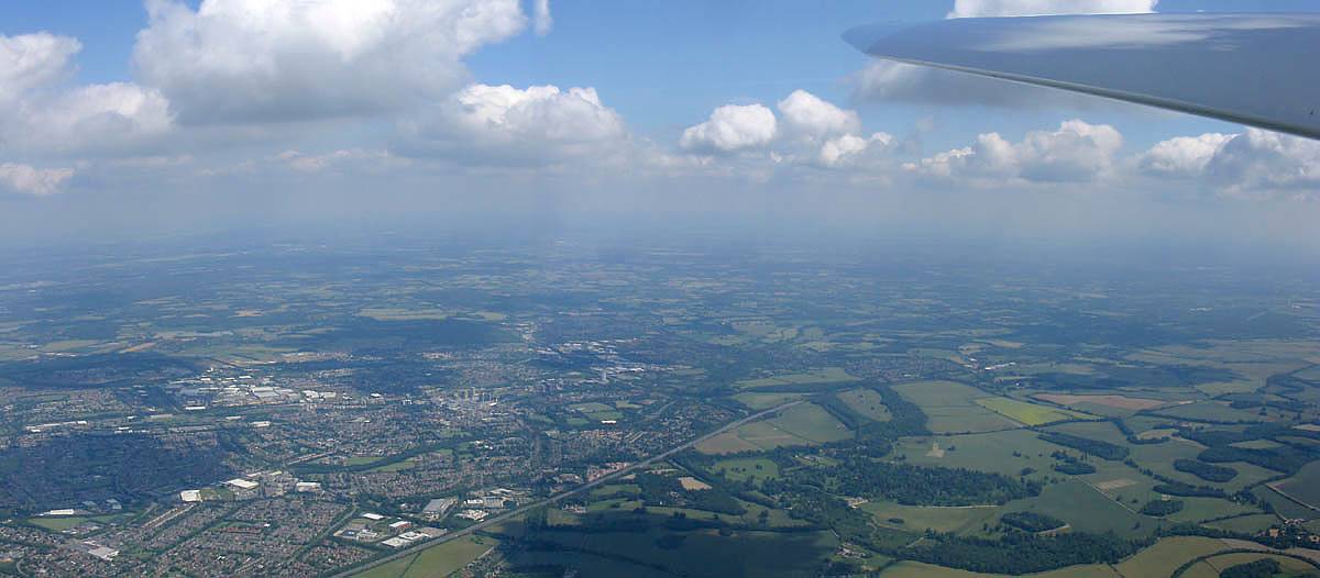
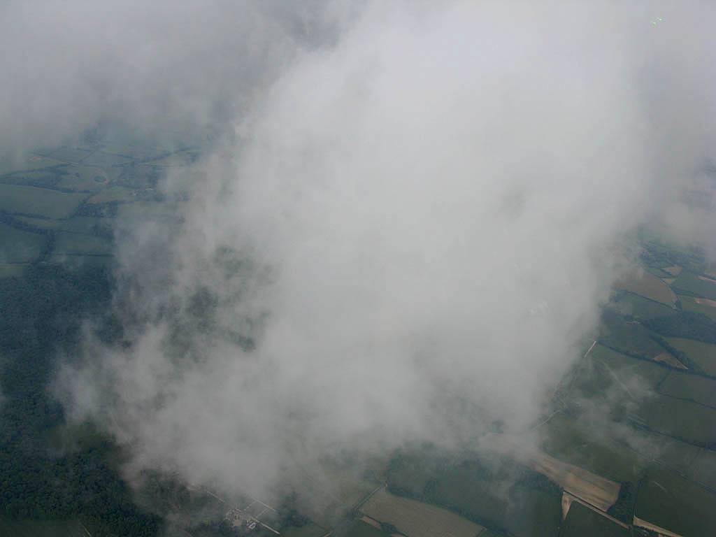
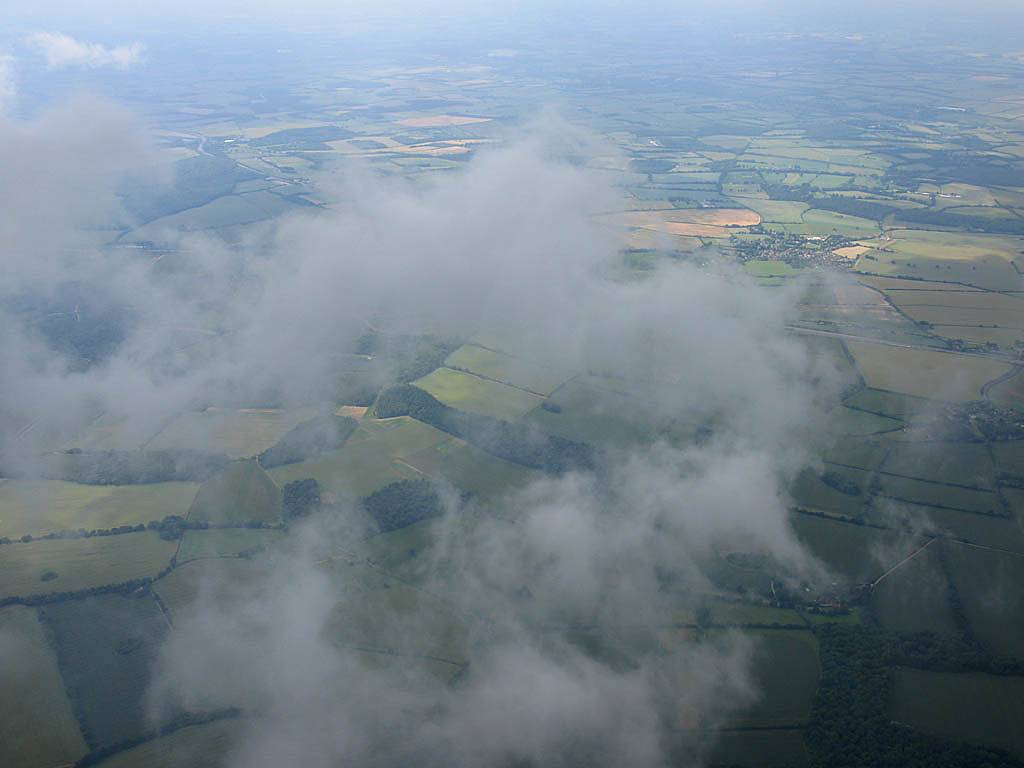
A winter's day's flying. I took a few hops off the winch to keep in practice. Notable to the Southeast was a fog shrouded South Downs. That certainly made for a prettier than average flight.
|
IMG_5978_5980_Panorama.jpg |
IMG_5983_5984_Panorama.jpg |
IMG_5990_5991_Panorama.jpg |
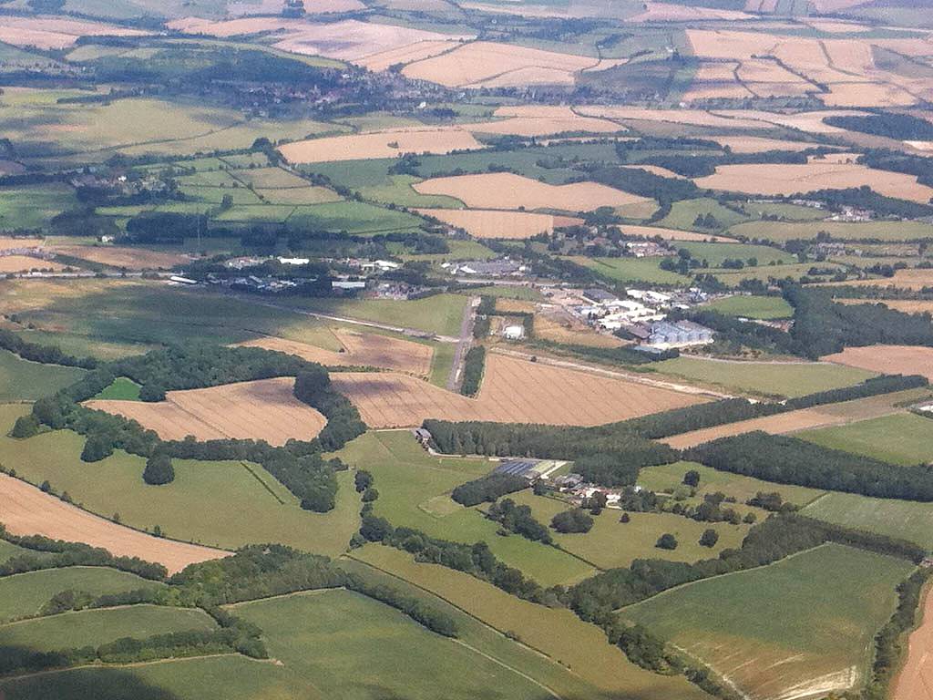
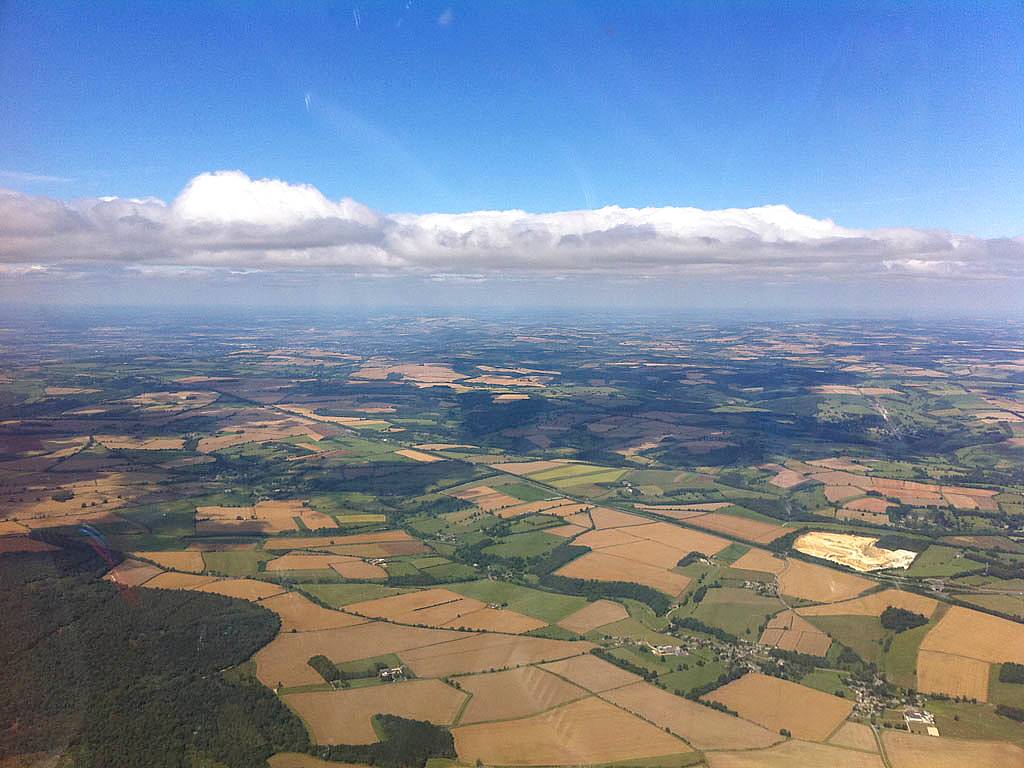
| Wide angle panorama of the South Coast from Lasham from East to Southwest. Airfield visible under wing. | A closeup of the fog shrouded South Downs to the Southeast. | Looking Southwards to the Isle of Wight where cumulus clouds are popping. |
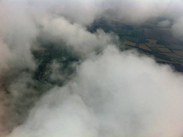
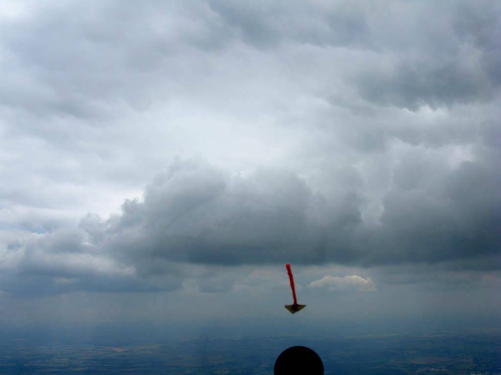
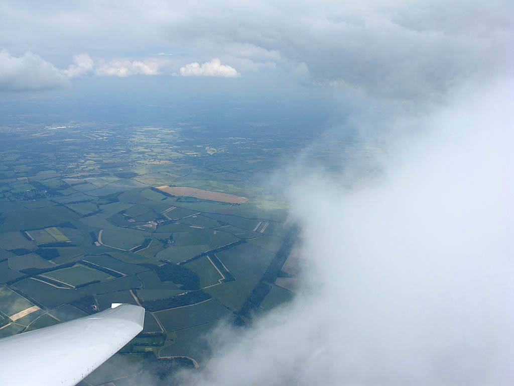
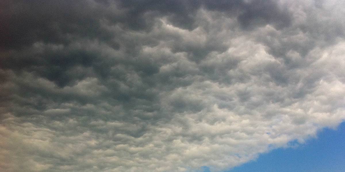
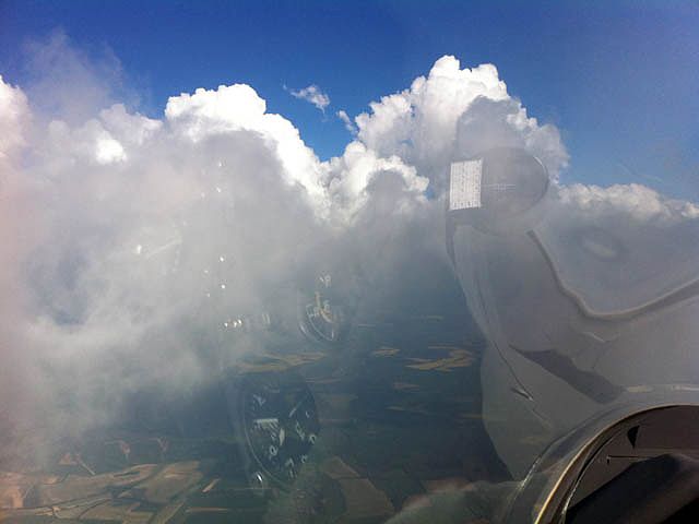
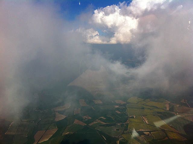
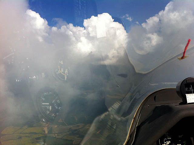
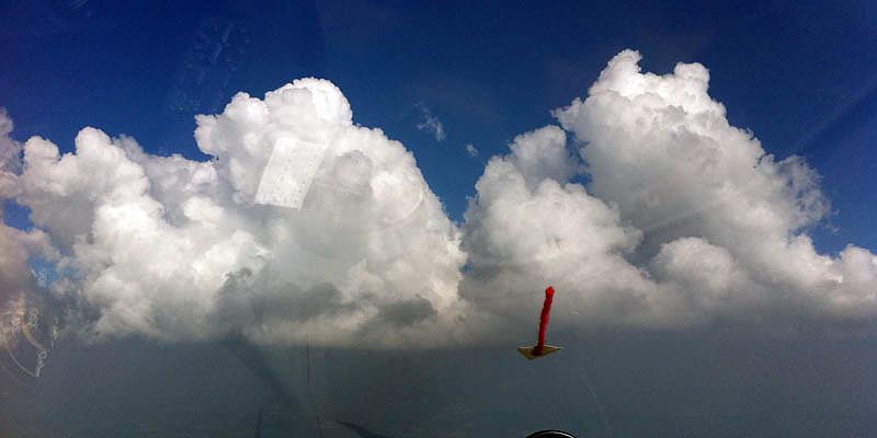
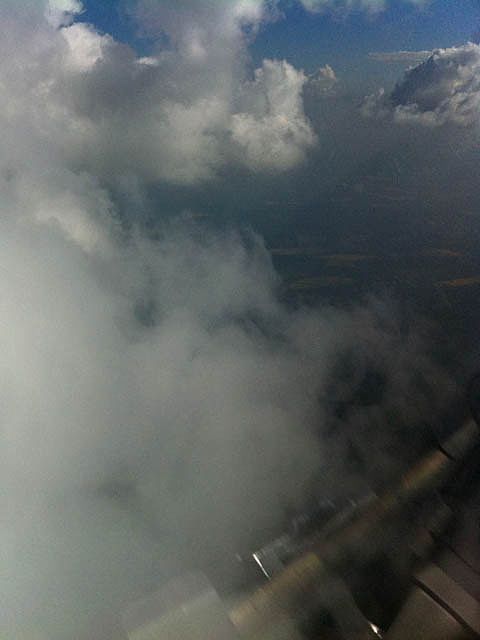
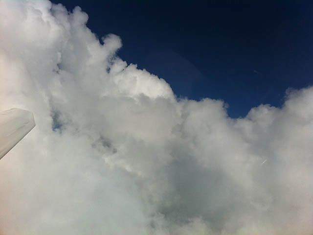
A fairly poor day with low cloudbase, but that didn't stop me climbing 1000 feet up into a cloud. There is a You Tube Video that was taken while I spiralled down and around a pretty cumulus cloud on the way down after the cloud climb. Also see these two pictures below.
 IMG_1240.jpg |
 IMG_1244.jpg |
| Flying over the clouds. | |
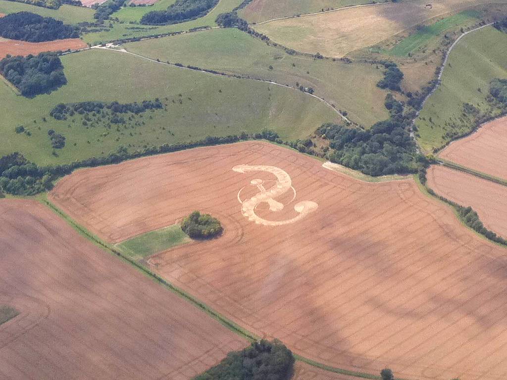
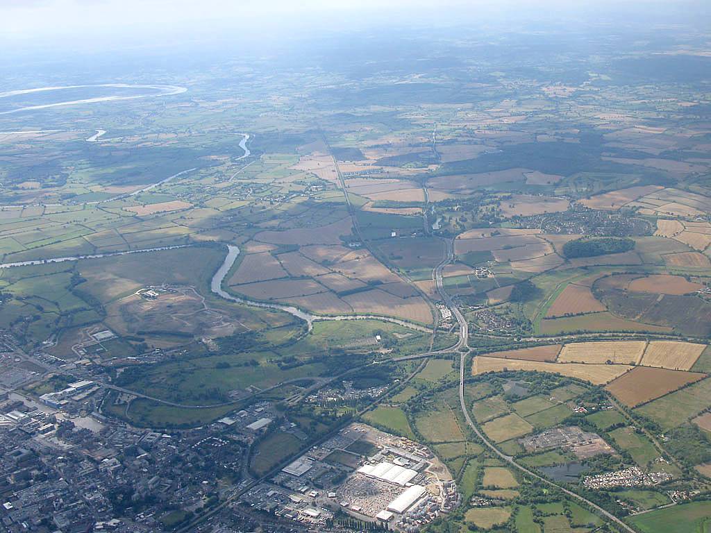
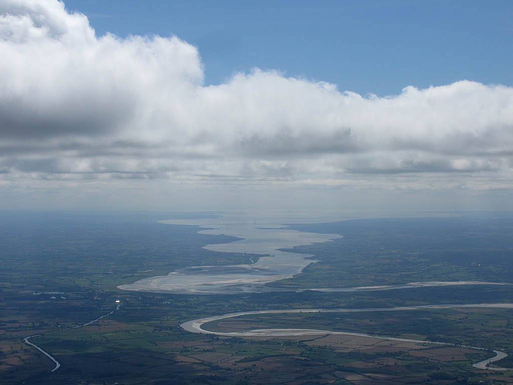
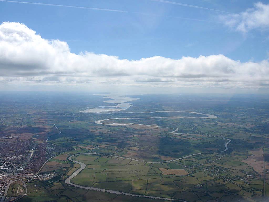
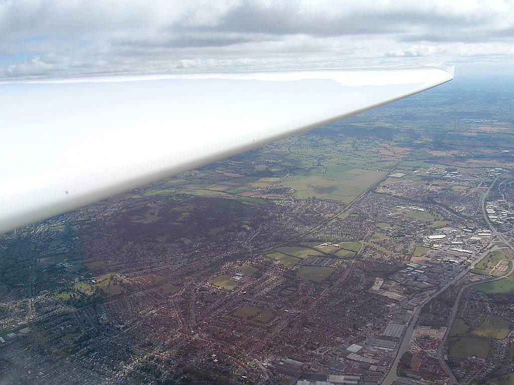
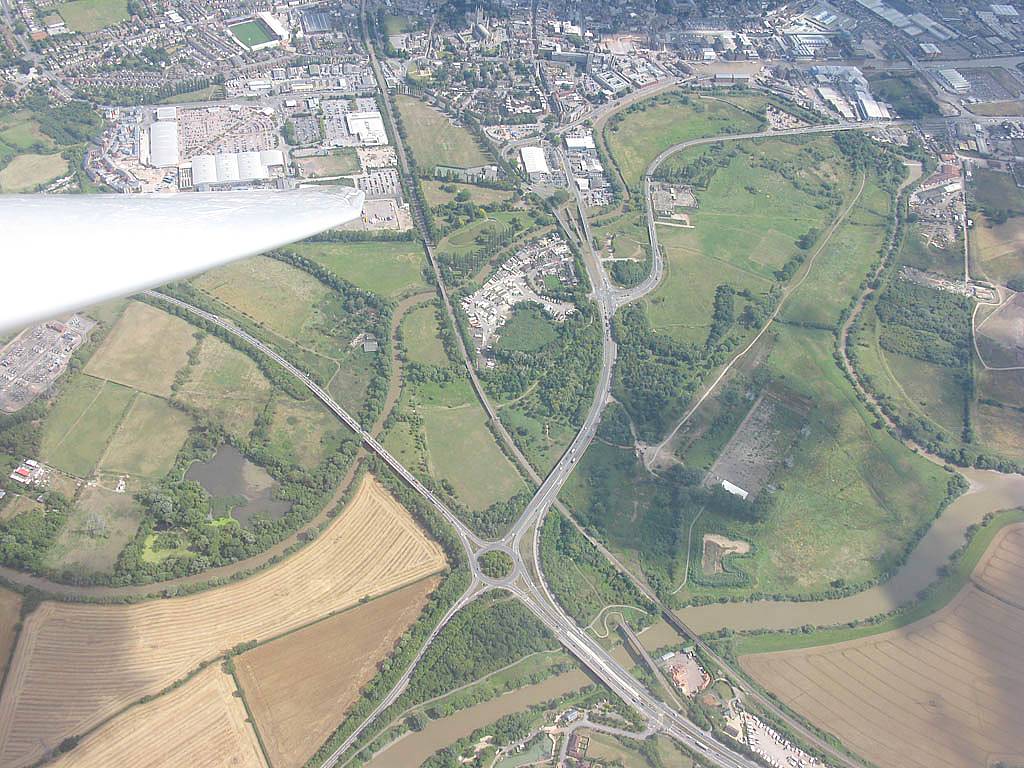
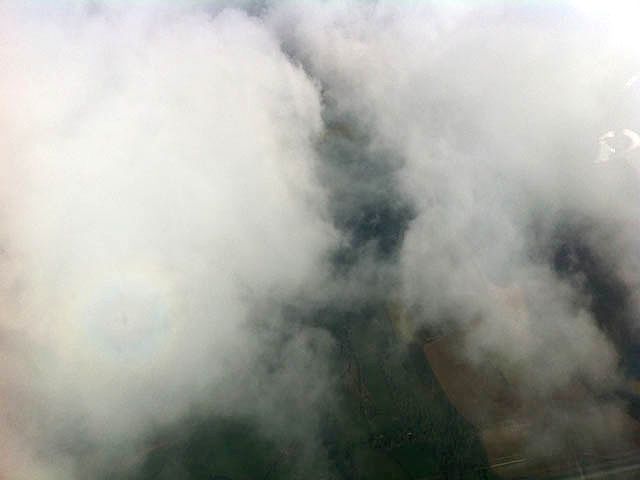
Hooray! I finally managed a 300km flight this year. After a downwind dash to Goodwood and a long struggle into a stiff headwind and surviving a band of top cover, I got as far as Gloucester, with a grand view of the Severn Estuary, before blasting back downwind to complete the 300 (LAS-GWD-GLO-LAS = 305km). I didn't take any pictures early in the flight while conditions were tricky. But near Whitchurch I spotted a cool looking crop circle and took pictures with the iPhone. Then around Gloucester the main camera came out to play.
 IMG_1188.jpg |
 IMG_1191.jpg |
 IMG_1193_1194_Panorama.jpg |
 IMG_1198.jpg |
 IMG_1200.jpg |
 IMG_1205.jpg |
| Crop circle near Whitchurch. | Looking around as I head upwind under very shallow cumulus. | Membury Airfield from the South. | Flying over the Cotswolds. | ||
 IMG_1820.jpg |
 IMG_1821.jpg |
 IMG_1827_1828_Panorama.jpg |
 IMG_1829.jpg |
 IMG_1831.jpg |
 IMG_1832.jpg |
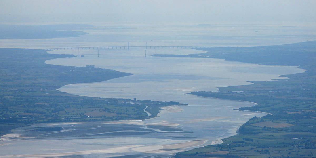
| Switching to the main camera so I can get better shots of the Severn Estuary and bridges. | Approaching Gloucester the estuary looks ever more spectacular. The closet I've been. | Looking Northeast from Gloucester to Cheltenham. | Looking Southwest along the M5 to the Severn Estuary. | The GLO Gloucester West turning point (the big roundabout on the A40 / A417 with the Severn river passing close by) from the North. | |
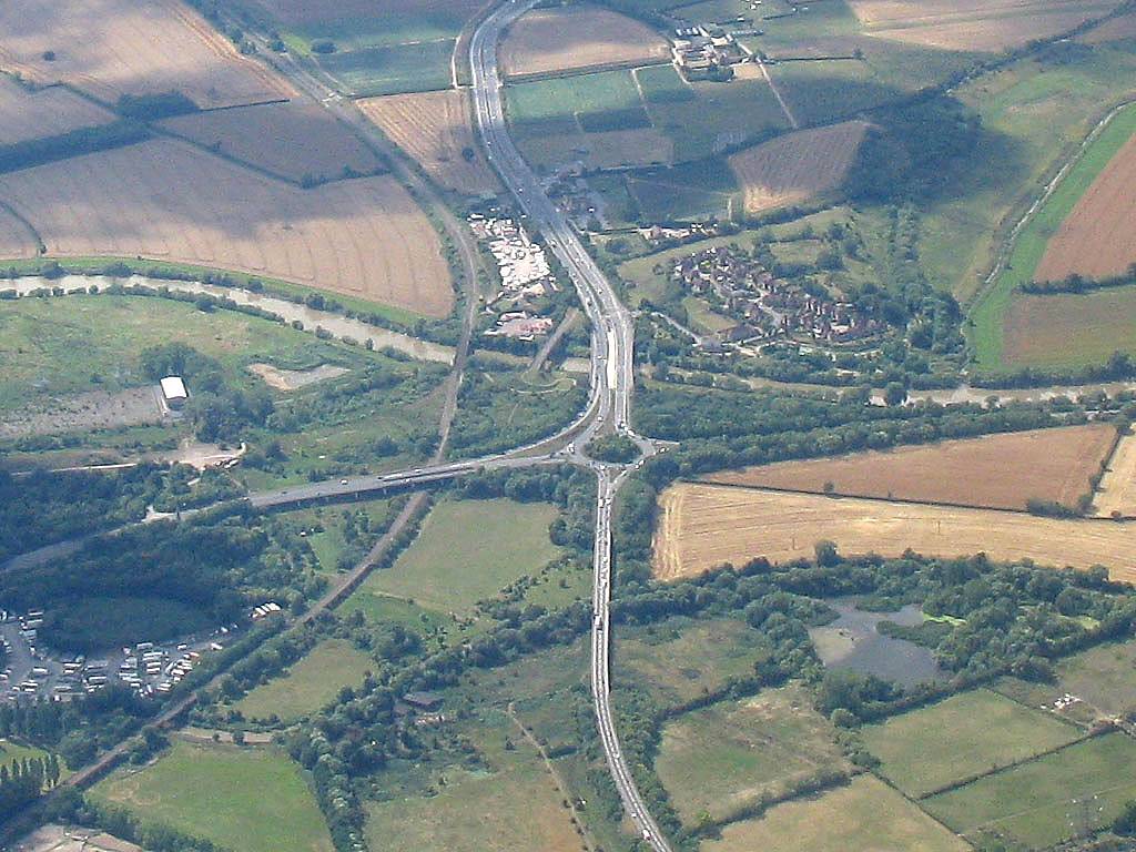 IMG_1832_Zoom.jpg |
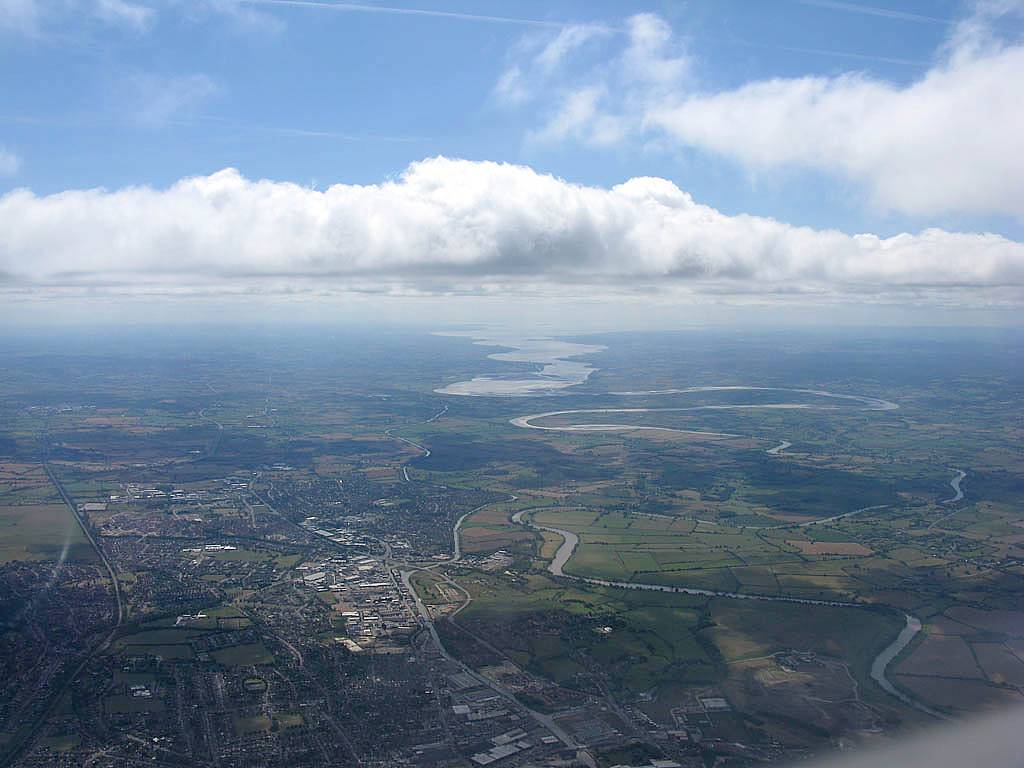 IMG_1833.jpg |
 IMG_1841.jpg |
 IMG_1842.jpg |
 IMG_1844.jpg |
 IMG_1846.jpg |
| Closer view of the GLO turning point. | Looking down the Estuary at different zoom levels as I close in on the GLO turning point. My best ever view of the Severn bridges. | 1km to go to the turning point! Almost there... | |||
 IMG_1847.jpg |
 IMG_1851.jpg |
 IMG_1853.jpg |
 IMG_1855.jpg |
 IMG_1864.jpg |
 IMG_1868.jpg |
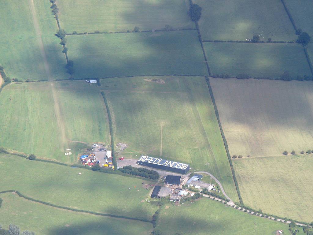
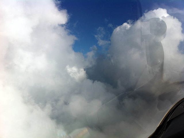
| Gloucester under my wing. | Turning GLO. Up is Southeast. | On the way home, over Swindon, I took a shallow cloud climb. | Looking down on Redlands parachute drop zone from over Swindon, just south of the drop zone. | ||
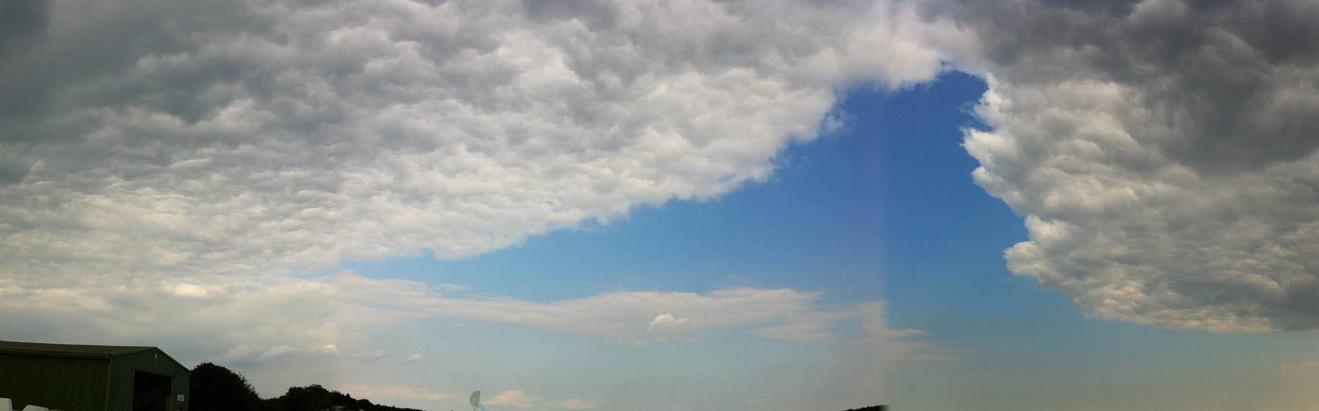
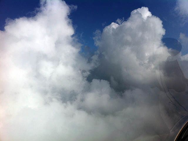
After some very poor flying in May and June I finally got going XC again today. Although spreadout was severe. I did have fun with a cloud climb which resulted in the usual jaw dropping above cloud base views.
 IMG_1145.jpg |
 IMG_1150.jpg |
| Cloud climbing near Didcot with nice cloudscapes all around. | |
After some very poor flying in May and June I finally got going XC again today. Although spreadout was severe. I did have fun with a cloud climb which resulted in the usual jaw dropping above cloud base views.
 IMG_1527_1528_Panorama.jpg |
 IMG_1530_1532_Panorama.jpg |
 IMG_1538.jpg |
 IMG_1541.jpg |
 IMG_1542.jpg |
 IMG_1543.jpg |
| A couple of panoramas taken in the Basingstoke area before the spreadout started. | Severe spreadout created some moody pictures. | Above cloud after a cloud climb. | |||
 IMG_1554.jpg |
 IMG_1559.jpg |
 IMG_1565.jpg |
 IMG_1574_1576_Panorama.jpg |
 IMG_1579.jpg |
 IMG_1588.jpg |
| Above cloud after a cloud climb. | Playing around at cloudbase. | Low scraggy bits of cloud below me. | |||
 IMG_1590.jpg |
 IMG_1074.jpg |
 IMG_1075_1077_Panorama.jpg |
 IMG_1079.jpg |
| The result of 4 hours in a bug swarm! | iPhone pictures of the spectacular spreadout patterns after landing. | iPhone Photosynth panorama capturing the whole sky. | |
My 2nd XC of the year, and what a flight it was. Cloudbase was exceptionally high cloudbase at around the 7000 foot level. The highlight of the flight was the cloudclimb near MArlborough near the end of the flight. I went up inside a towering cumulus from 6900 feet to 8700 feet. The views when I emerged were spectacular!
 IMG_0636.jpg |
 IMG_0643_0645_Panorama.jpg |
 IMG_0649.jpg |
 IMG_0656.jpg |
 IMG_0658.jpg |
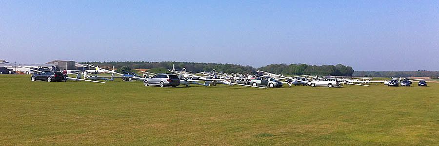
| My first big grid of the year. 53 gliders apparently! | Later in the day as cumulus started getting taller and cloudbase peaked at around 7000 feet the horizon looked stunning from up at height. | Climbing up the side of a cloud slightly to about 7200 feet. | ||
 IMG_0661.jpg |
 IMG_0662.jpg |
 IMG_0663.jpg |
 IMG_0667.jpg |
 IMG_0669.jpg |
| Descending slowly back towards cloudbase. | Another gorgeous cloudscape before I took that cloud climb. | Already descending down to 8500 feet after the cloud climb (or 7900 feet above Lasham on the mechanical altimeter). | Life above cloudbase is just grand! | |
 IMG_0671.jpg |
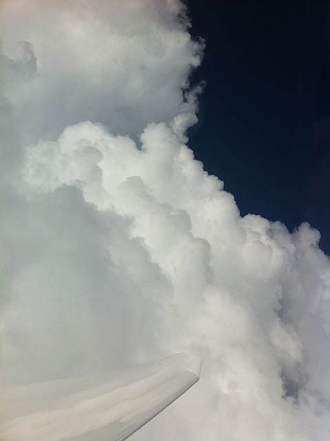 IMG_0676.jpg |
 IMG_0677.jpg |
 IMG_0678.jpg |
 IMG_0679.jpg |
| Flying along the side of the cloud I just climbed. | Looking up at the majestic cloud towers, topping out well over 10,000 feet and rising. | Looking down through a 'crack' in the cloud. | ||
 IMG_0682.jpg |
 IMG_0686.jpg |
 IMG_0690.jpg |
 IMG_0692.jpg |
 IMG_0693.jpg |
| Eyeing a gap between cloud towers. The video starts shortly after this pic was taken. | Leaving the cloud behind and setting off across a large gap but with plenty of height to spare for a fast final glide back to Lasham. | Back on the ground a shower builds to the Northeast while the gliders are parked awaiting being put away. | ||
There is also a You Tube Video that I took as I flew between the cloud towers between the first two pics on the last row.
An early local soaring flight. So nice for the new soaring season to be underway again. Much of the flight was spent to the South of the airfield where conditions were a little better (severe spreadout elsewhere). Down below I spotted a circle of stones in the grounds of Pelham Place...
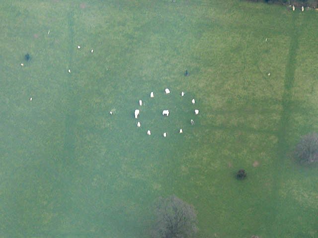 IMG_0239.jpg |
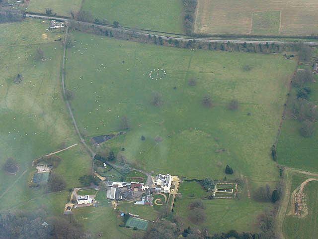 IMG_0243.jpg |
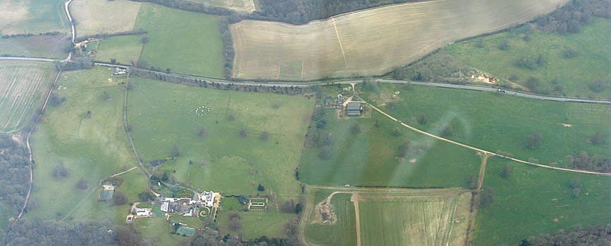 IMG_0243_0244_Panorama.jpg |
 IMG_0245.jpg |
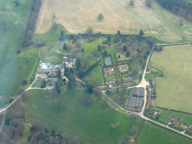
| Pelham Place just south of Lower Farringdon on the A32. The place caught my eye because of the stone circle (at approx SU702335). However on google maps satellite pics the circle is not present. So this circle is new! Curious... | Another fancy abode nearby. | ||
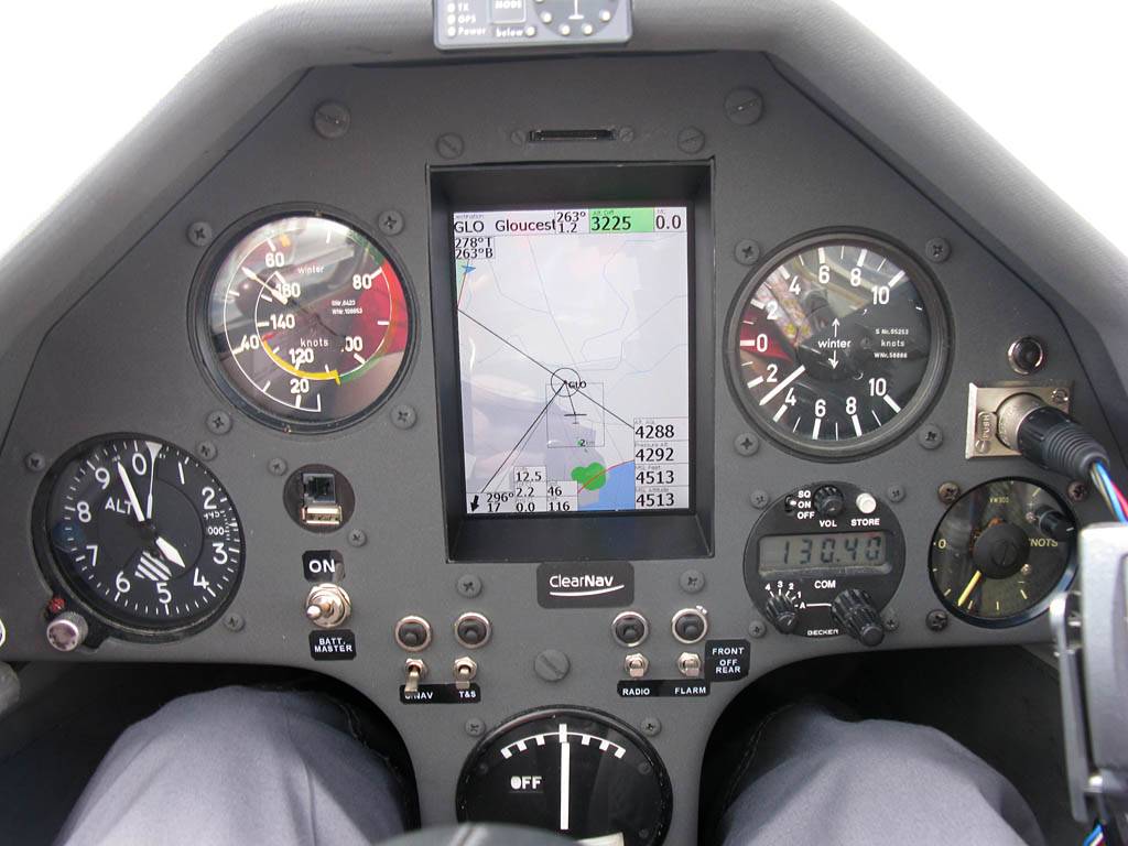
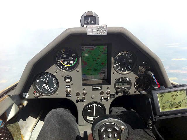
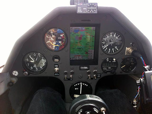
That was a nice way to start off the new gliding year. The Discuses are all getting standard lifting instrument panels with new ClearNav instruments. Sh2 came back first and I was the first to have a go after its test flight. Testing it proved it to be a lovely instrument to use. Never mind the stick, which looks like it came straight out of a fighter jet. Fortunately I failed to find out how to launch the missiles during my flights.
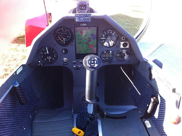 IMG_0269.jpg |
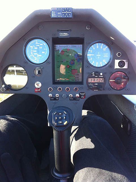 IMG_0272.jpg |
| The new instrument panel in Sh2. | |