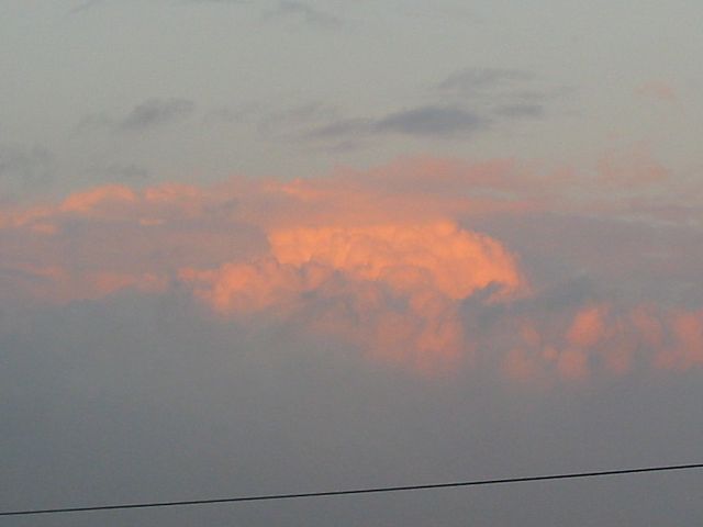
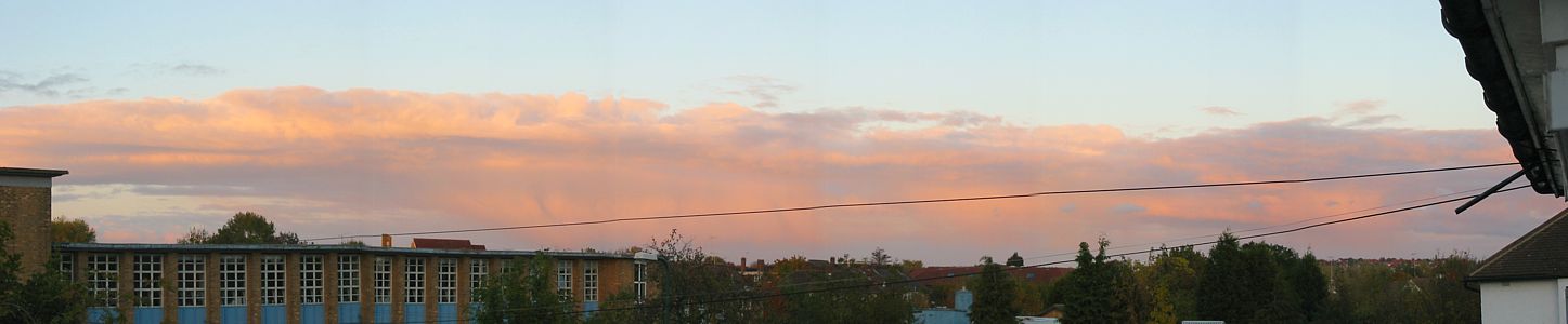
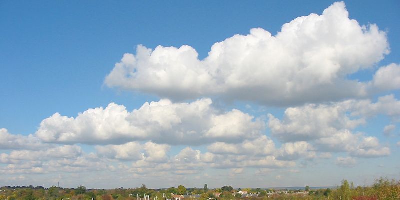
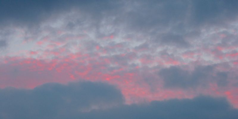
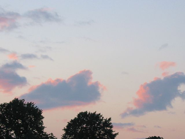
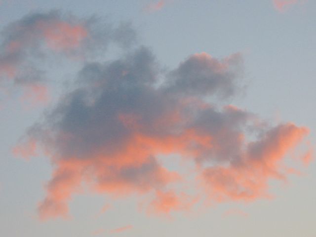
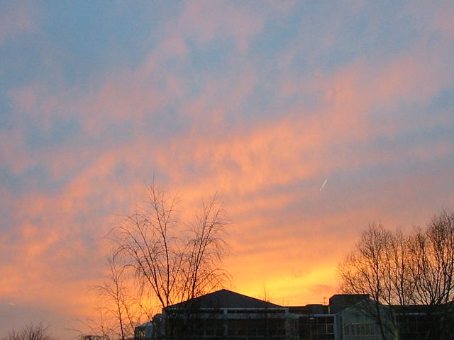
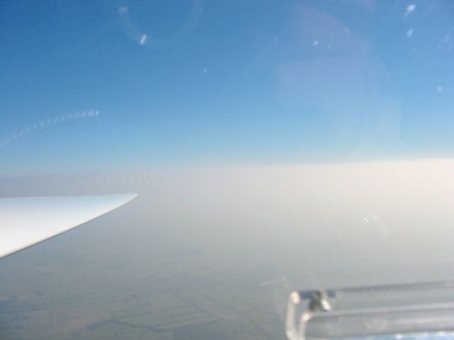
20031102_RedCunim.jpg
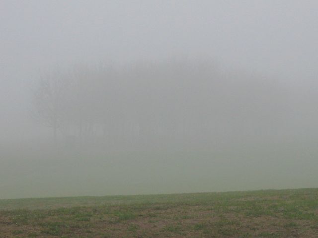
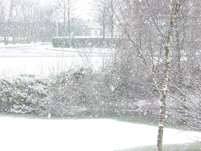
20031210_Fog1.jpg
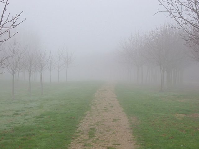
20031210_Fog2.jpg
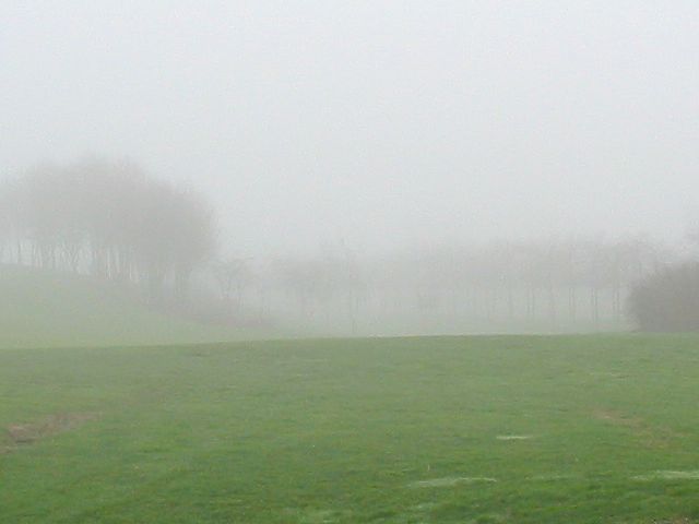
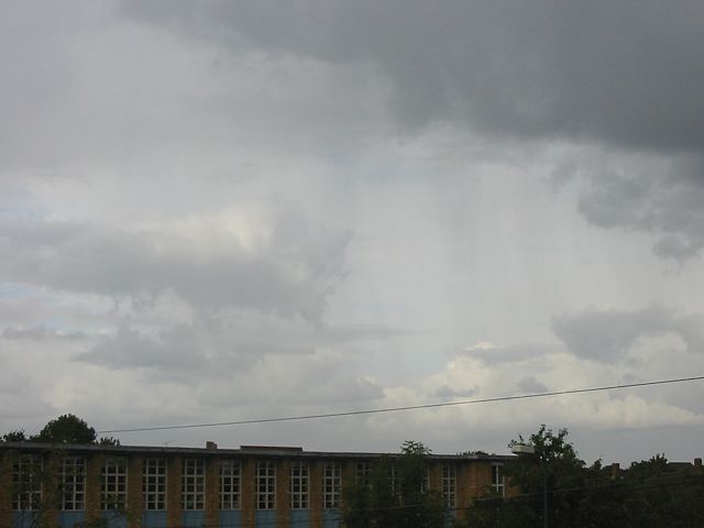
20031210_Fog3.jpg
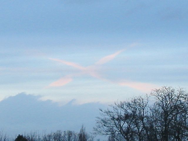
20031227_WhiteCross.jpg
Click here to return to the main Pictures index.
Click here to go to the 2004 images.
Click here to go to the 2002 images.
More pictures of clouds, mainly taken from at or above cloudbase, can be found in the Gliding 2003 Pictures page.
|
20031102_RedCunim.jpg |
20031210_Fog1.jpg |
20031210_Fog2.jpg |
20031210_Fog3.jpg |
20031227_WhiteCross.jpg |
||
| Cumulonimbus cloud lit up by setting sun. | Trees silhouetted in a ghostly fashion in persistant fog. | White cross made of cirrus visible through a gap in a layer of lower stratus. | ||||
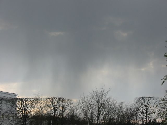
 20031014_Virga1.jpg |
 20031014_Virga2.jpg |
 20031014_Virga3.jpg |
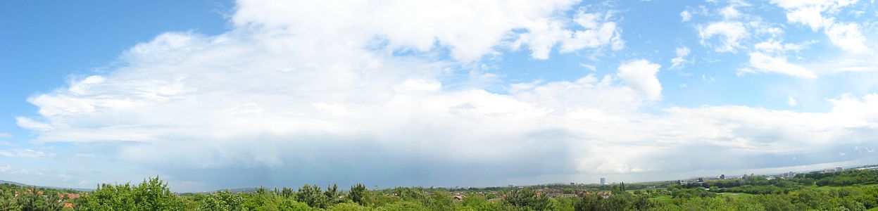
 20031020_SunsetShowerPanorama.jpg |
| Extensive Virga dropping out of altocumulus and altostratus. | Panaroma of shower lit up by setting sun. Pans from Northwest to East-Southeast. | ||
 20031021_SunBehindCloud.jpg |
 20031021_Cumulus1.jpg |
 20031021_Cumulus2.jpg |
 20031021_Cumulus3.jpg |
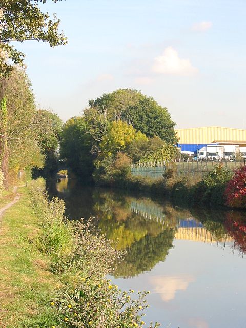 20031027_Calm.jpg |
| Sun shining from behind a cloud producing a nice crespucular ray effect. | Cumulus clouds to the north, and a large one to the east. Some nice streets has started forming. Stratus advancing from the west. Estimated cloudbase 3000 feet. | Incredibly calm day. Makes for a nice reflection in the Grand Union Canal. | ||
 20030920_Moon.jpg |
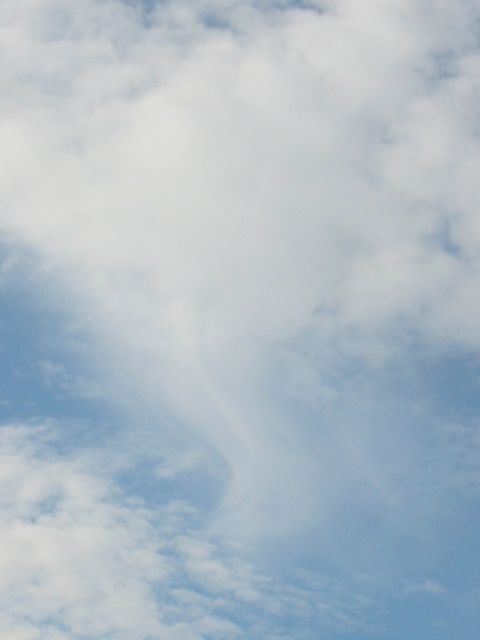
 20030925_Cirrus.jpg |
 20030926_HeathrowWave.jpg |
| The moon magnified by the atmosphere on a very clear night. This is as big as I could get it at full zoom (3x). No thumbnail here. | Bands of cirrus stretching across the sky like smoke from an air display. | Looking South towards Heathrow Airport at lunchtime. Cold front on its way from North. Is this wave? |
 20030823_SunCloud.jpg |
 20030829_Shower.jpg |
 20030829_Cunim.jpg |
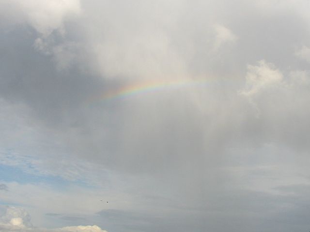 20030829_MiniRainbow.jpg |
| Sun shining through cumulus not long before sunset. | Incoming shower. Visible ribbons hanging off back of cloud. | Massive and wide cumulonimbus cloud developing rapidly. | Miniature rainbow in small shower. |
 20030703_RedGap.jpg |
 20030703_RedGap2.jpg |
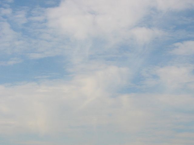
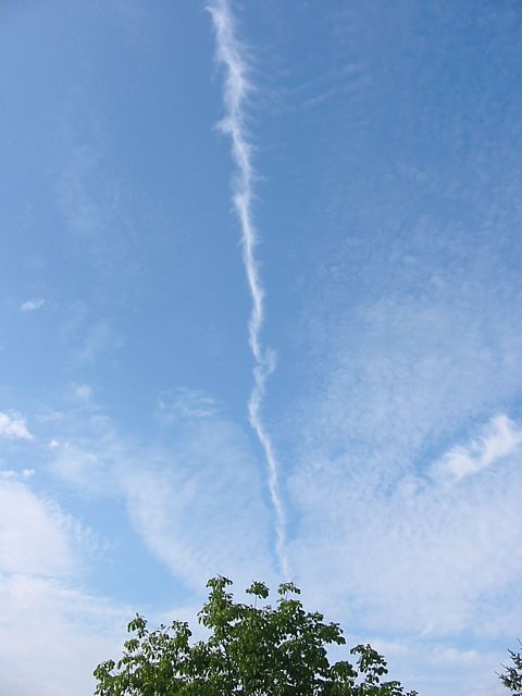 20030719_Cirrus1.jpg |
| Gap in stratus at sunset revealing higher cloud lit up by the sun. | Line of cirrus slicing the sky (5:45pm). | |
 20030625_RedCC.jpg |
 20030625_RedCC2.jpg |
 20030626_Cloud.jpg |
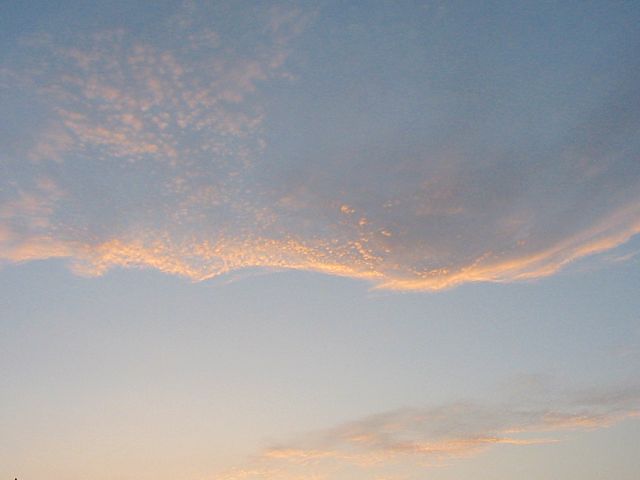
 20030627_RedCu.jpg |
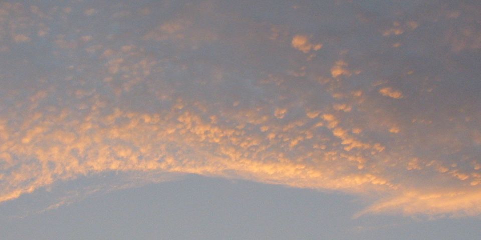
 20030627_RedCu2.jpg |
| Cirrocumulus lit up as the sun set. | Lone wispy cumulus cloud. | Cumulus lit up as the sun set. | ||
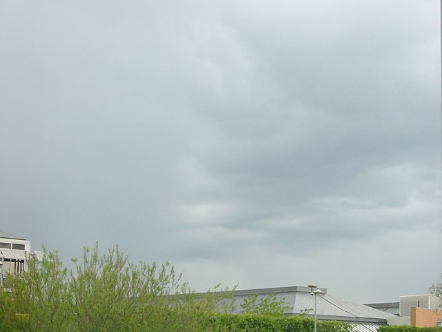
 20030402_AprilShower.jpg |
 20030513_ShowerCurtain.jpg |
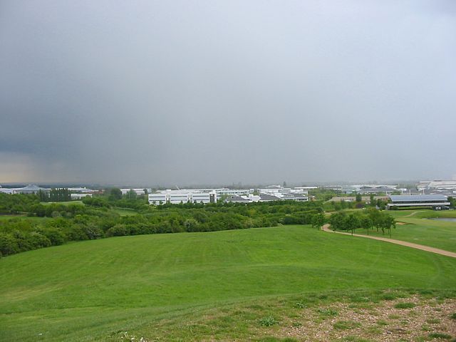
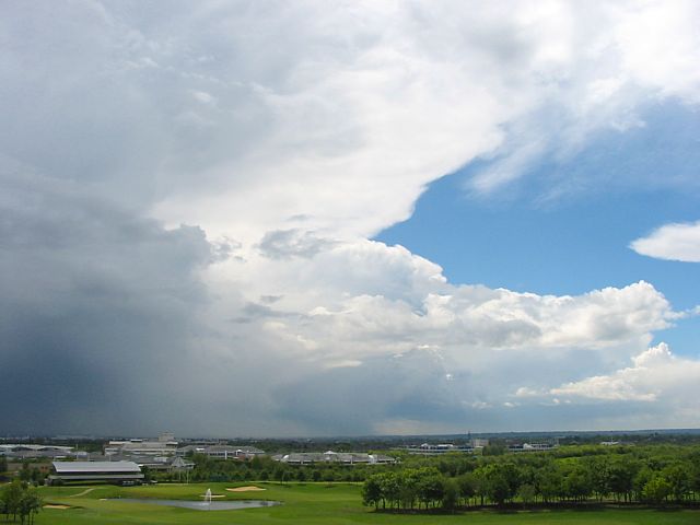
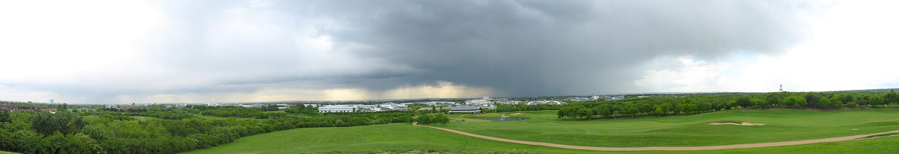 20030513_ShowerPanorama.jpg |
 20030513_ShowerCloseup.jpg |
 20030513_ShowerBackEnd.jpg |
| First April shower. | Cumulus disappearing behind a curtain of rain. | The huge lunchtime shower that engulfed Heathrow Airport. Viewed from a hill to the North on Stockley Park golf course. Needless to say the photos do not do justice to the size of the shower. | ||
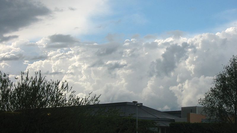 20030513_CbWall.jpg |
 20030513_Mammatus.jpg |
 20030519_TSBackend.jpg |
 20030519_TSAnvil.jpg |
 20030519_TSCloseup.jpg |
| Giant wall of cumulonimbus clouds lit up by the sun. | Mammatus cloud on the back of a shower. | Back end of huge thunderstorm that just trashed Stockley Park. | Classic anvil of next thunderstorm. | Closeup as thunderstorm arrived. |
 20030306_Cumulus.jpg |
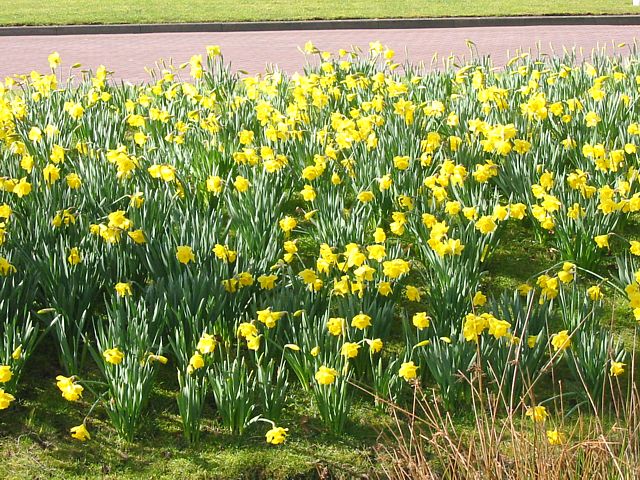 20030306_Daffodils.jpg |
 20030311_RedCumulus.jpg |
 20030311_RedFilaments.jpg |
 20030322_Inversion_North.jpg |
 20030322_Inversion_South.jpg |
| Impressive conditions for time of year. | Looks like Spring has arrived. | Another red sunset. | Inversion on very hazy day ~3600 feet above sea level just Northeast of Lasham at 2:30pm. | ||
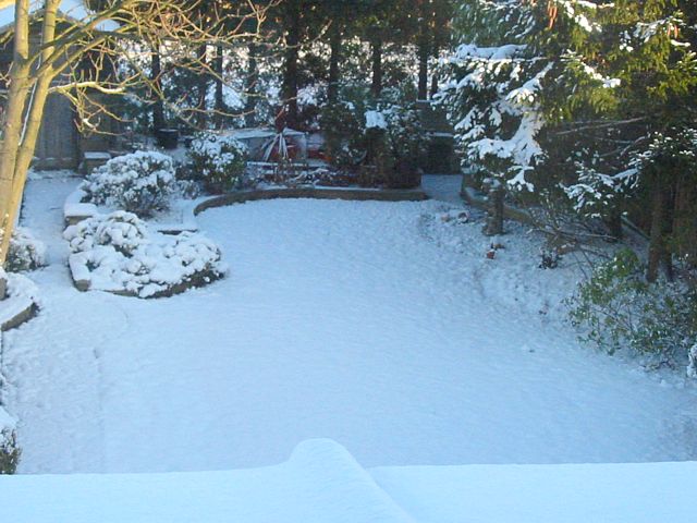
 20030108_snowlake.jpg |
 20030108_heavysnowfall.jpg |
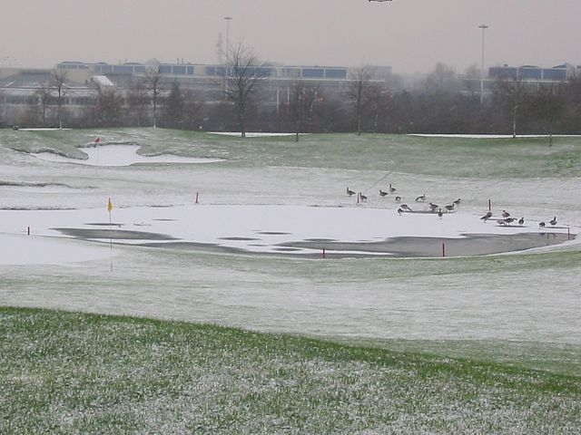
 20030131_snow.jpg |
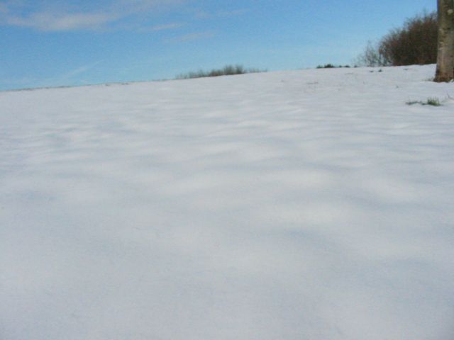 20030131_snow2.jpg |
| Snow covered ice after some snow flurries. | Heavy snowfall. | The garden after very heavy snowfall the previous day. | Parts of Stockley golf course had deep snow (10cm drifts). UK or arctic? |
 20030131_panorama.jpg |
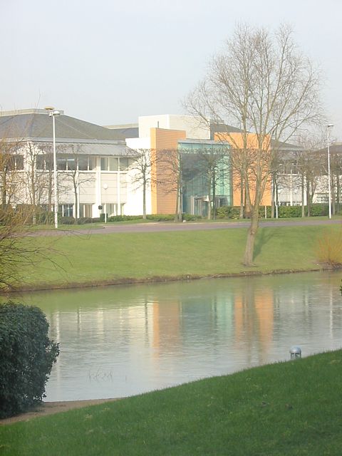 20030219_Reflections.jpg |
| Panorama from the top of our favourite hill again, after the heavy snowfall. Starts from the South, going clockwise 360 degrees. | Reflections on icy lake. |