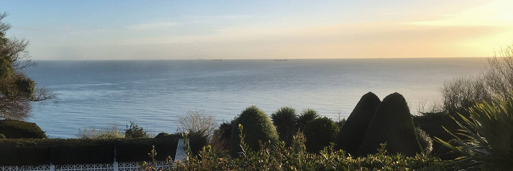
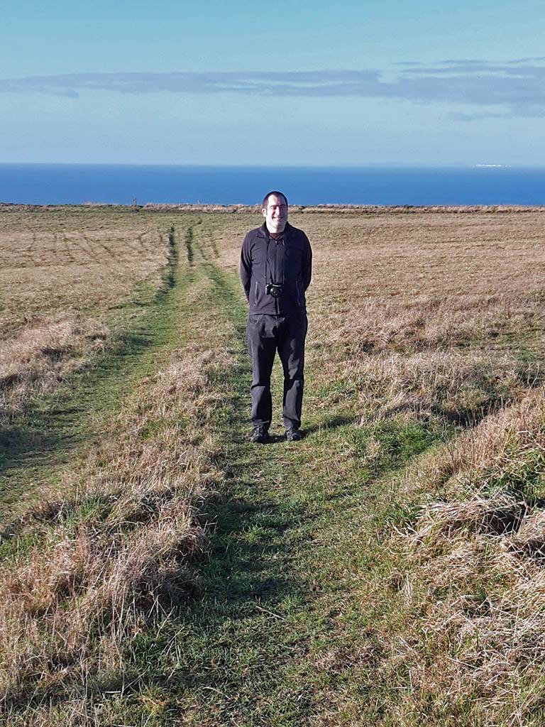
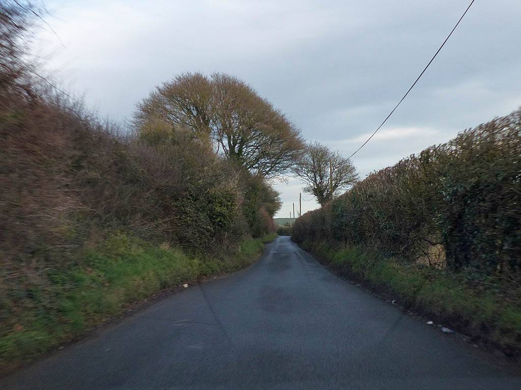
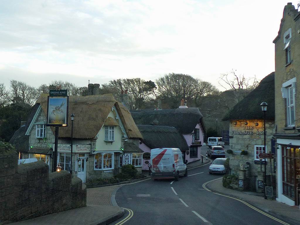
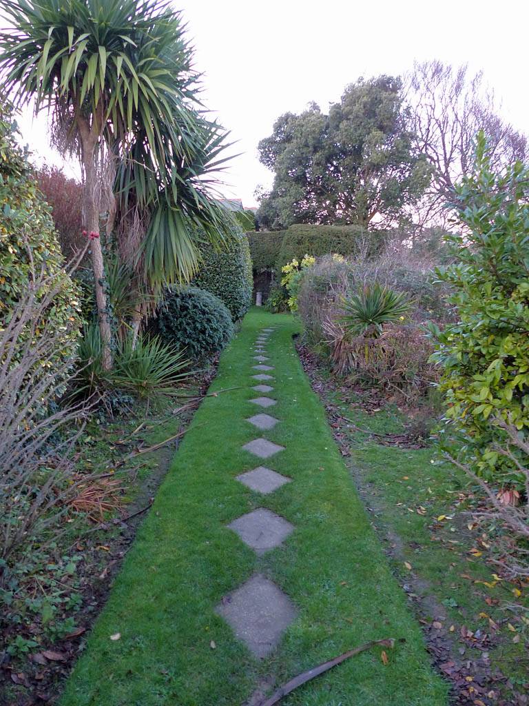
IMG_4105.jpg
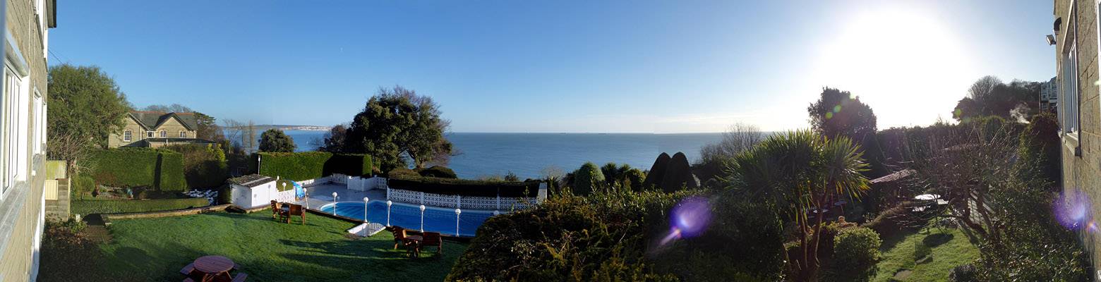
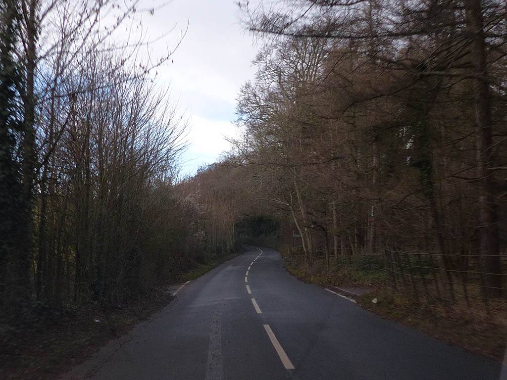
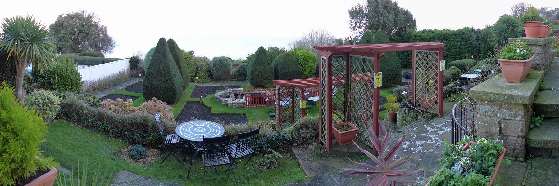
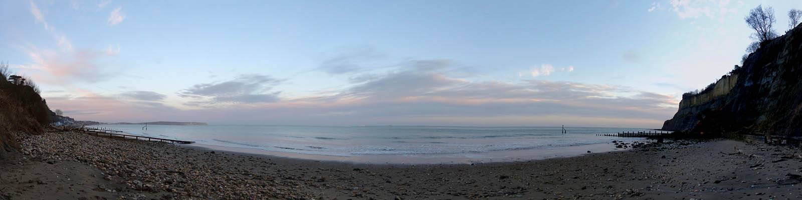
P1280996_001_Panorama.jpg
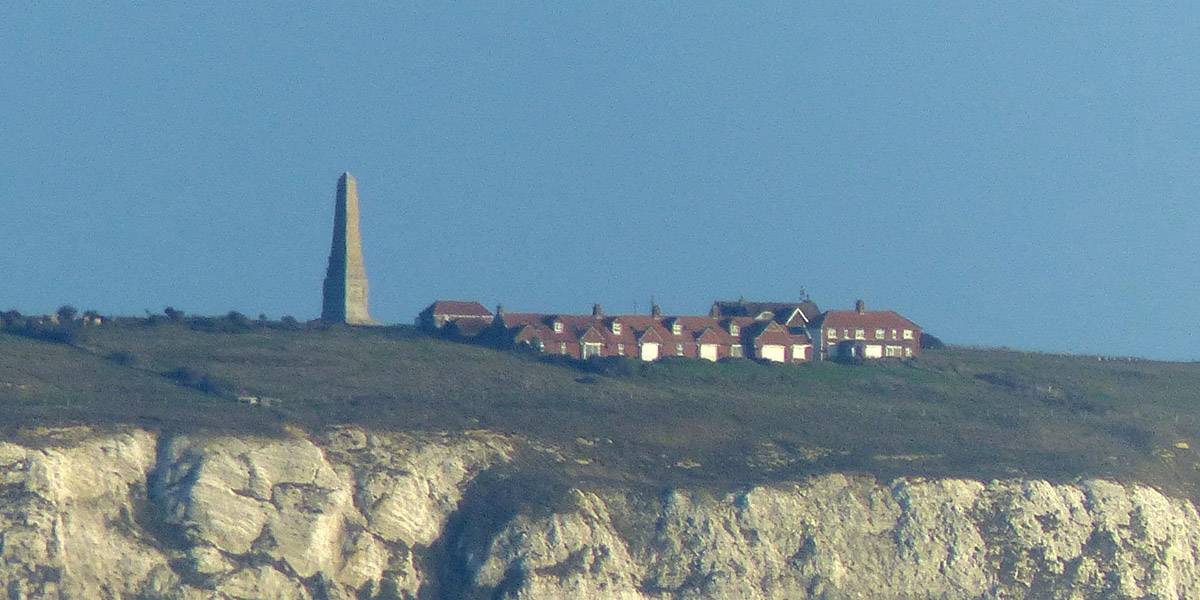
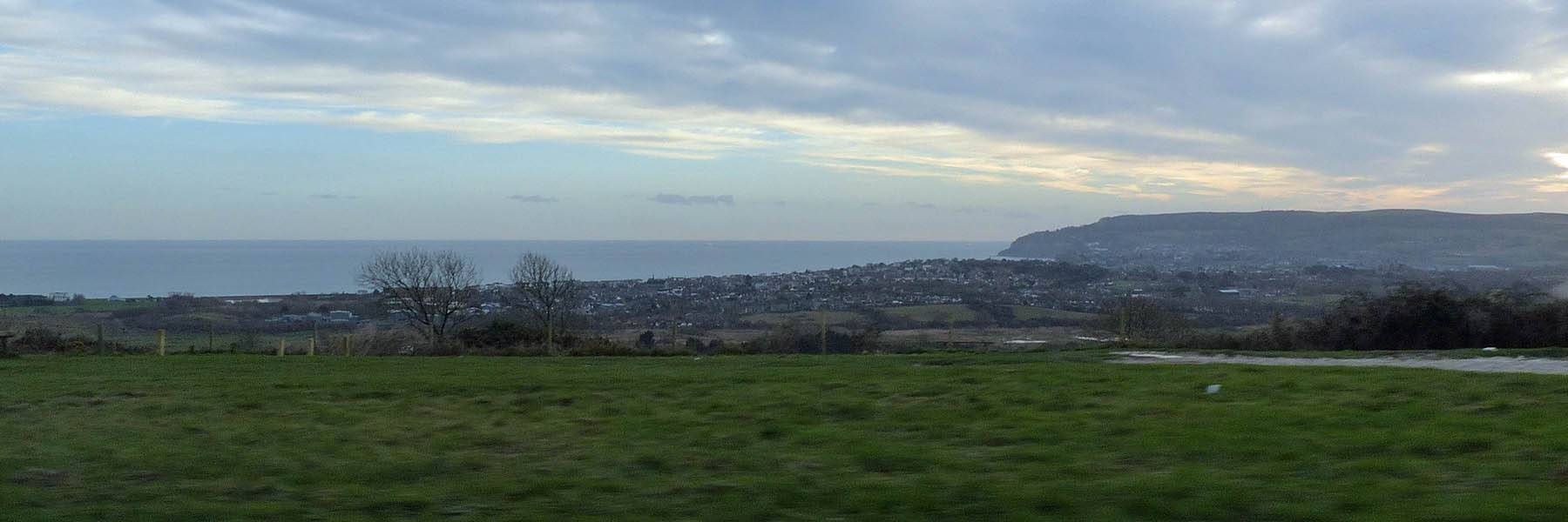
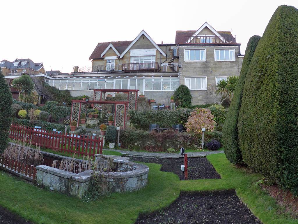
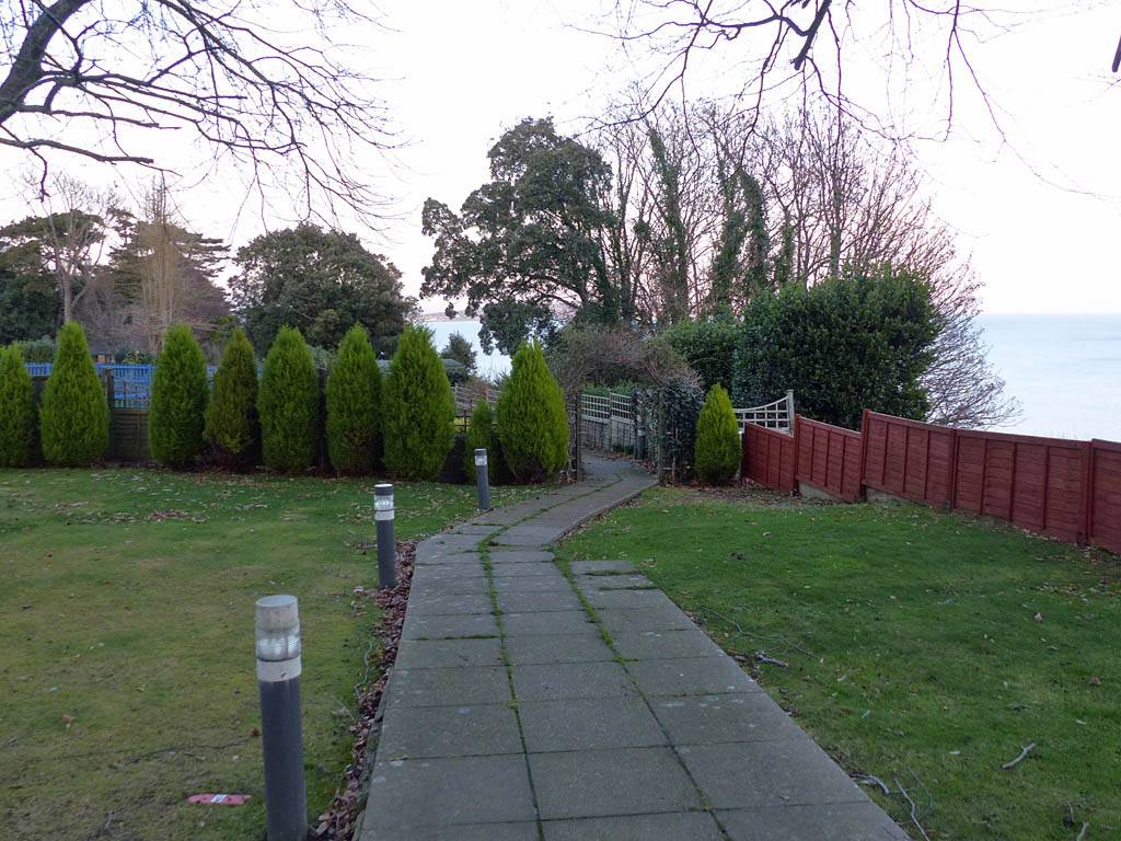
P1290003.jpg
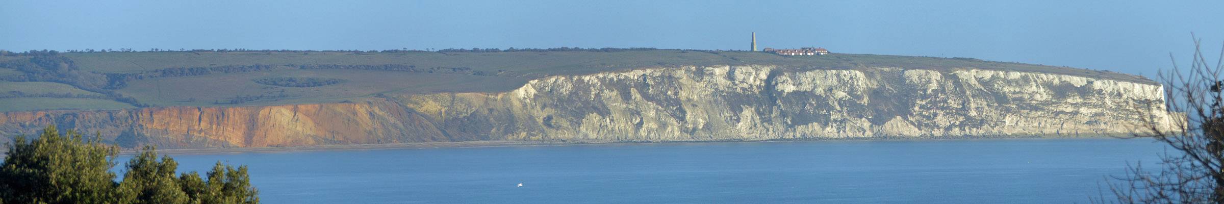
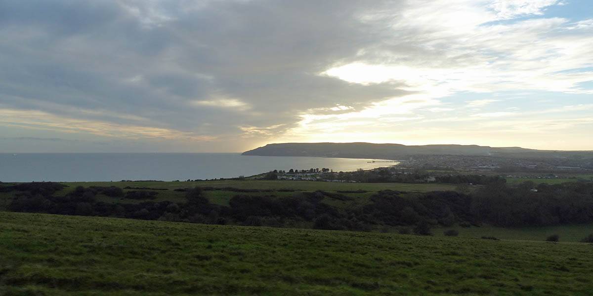
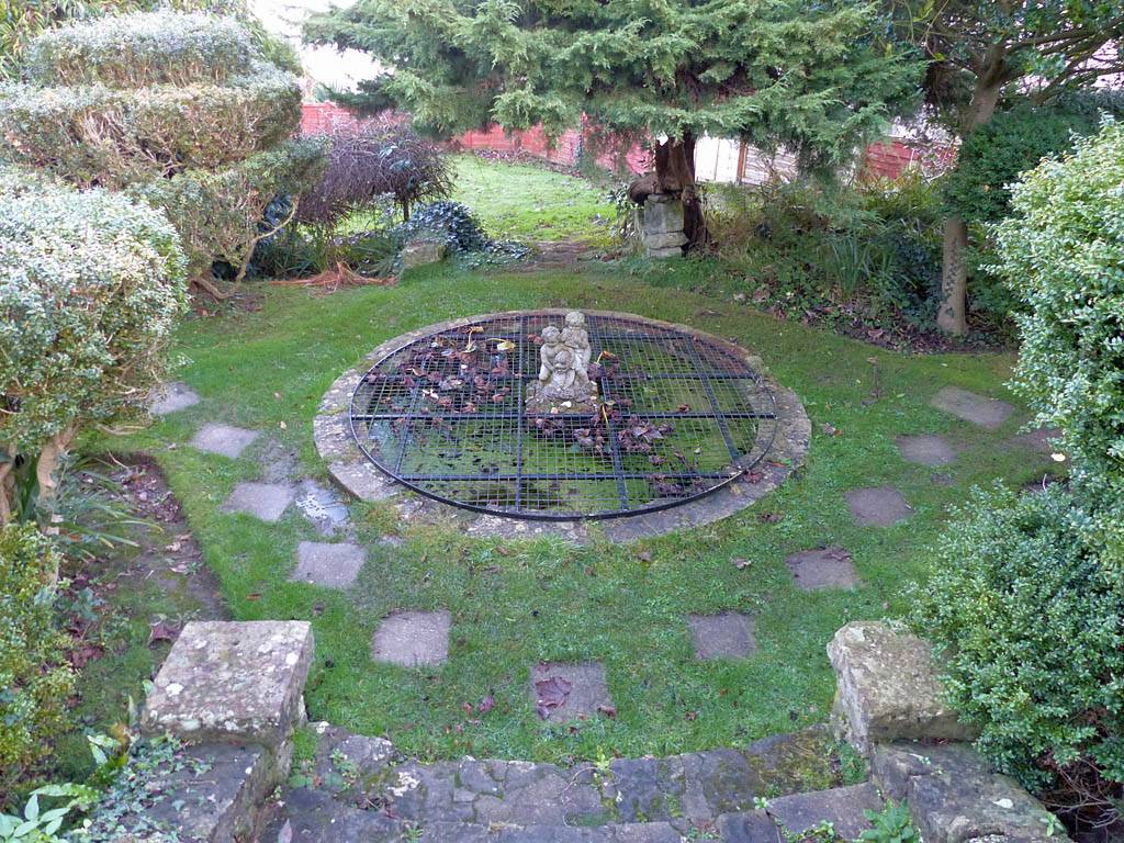
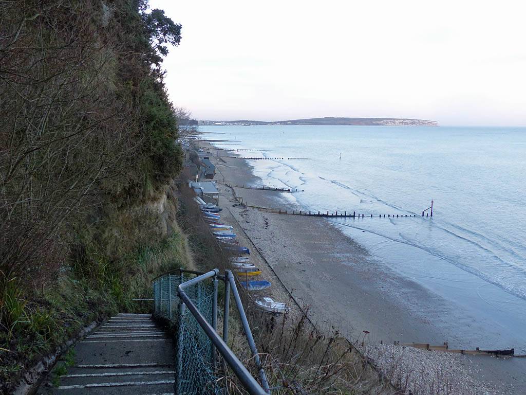
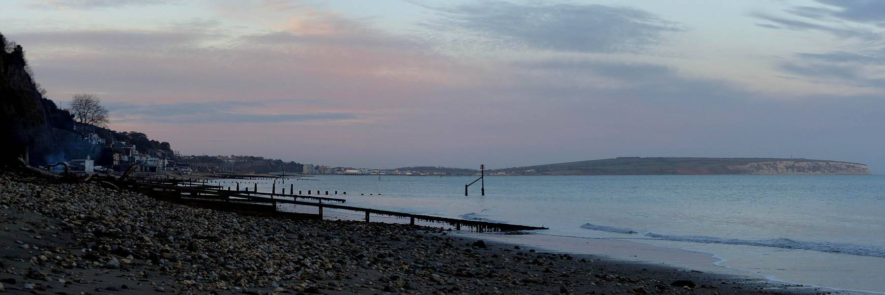
P1290006_011_Panorama.jpg
Click here to return to the main Piccies index.
Click here to return to the main 2016 General Piccies Page.
Click here to go back to Isle of Wight 2016 Day 1.
Click here to go forward to Isle of Wight 2016 Day 3.
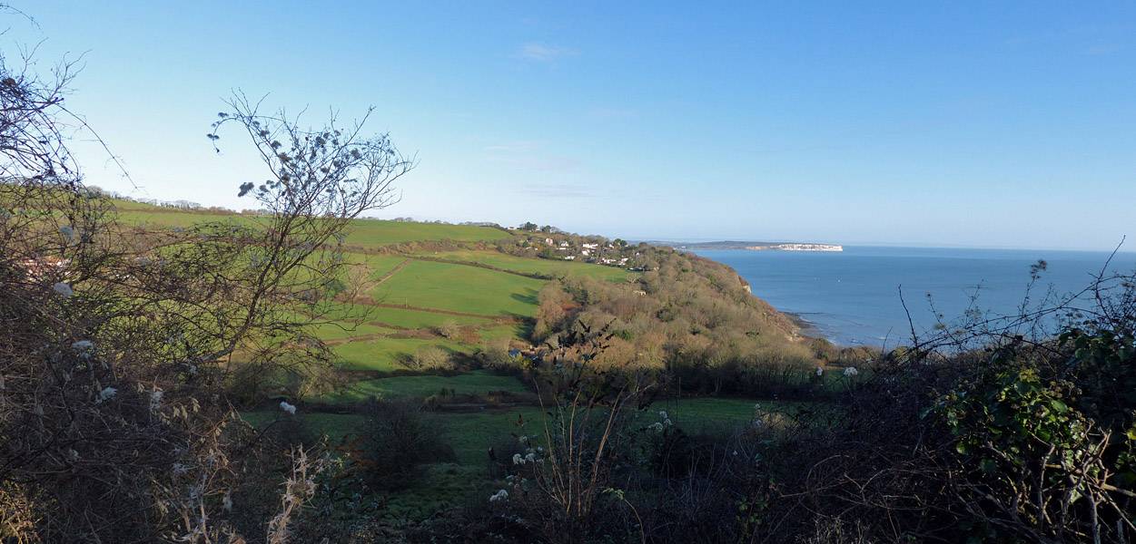
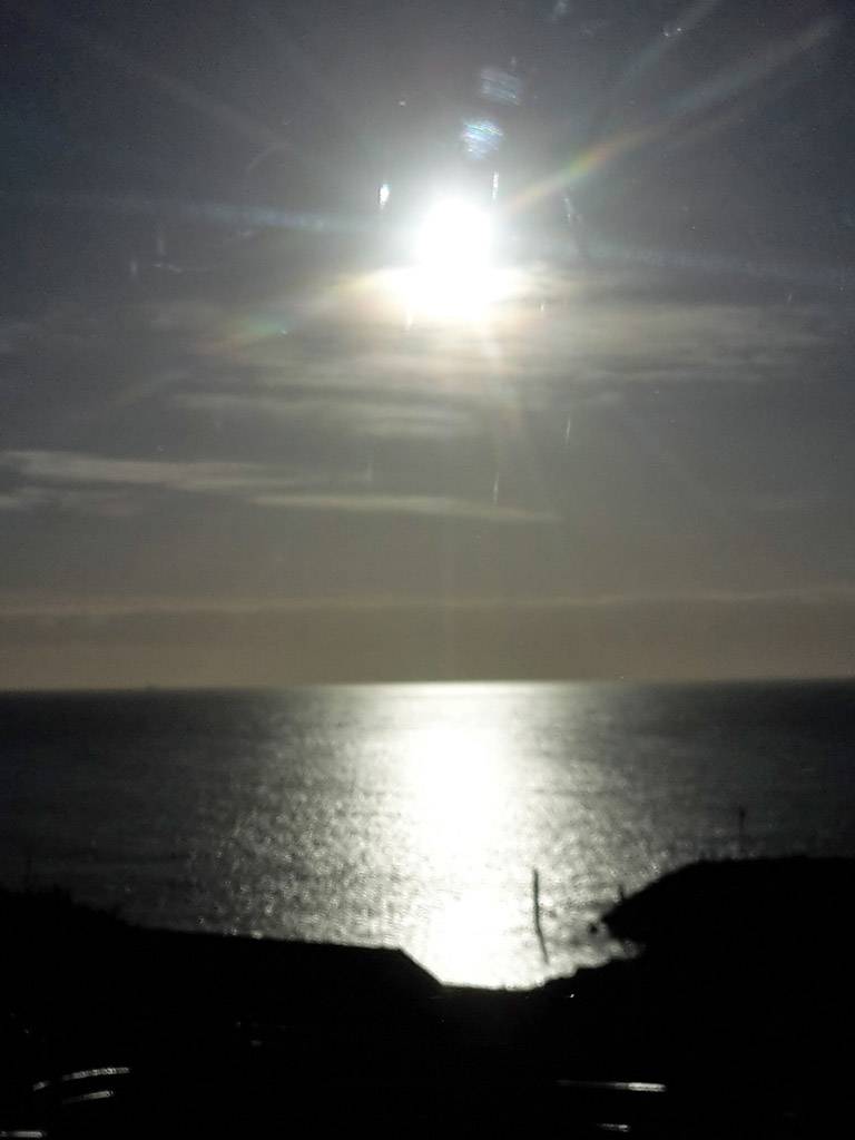
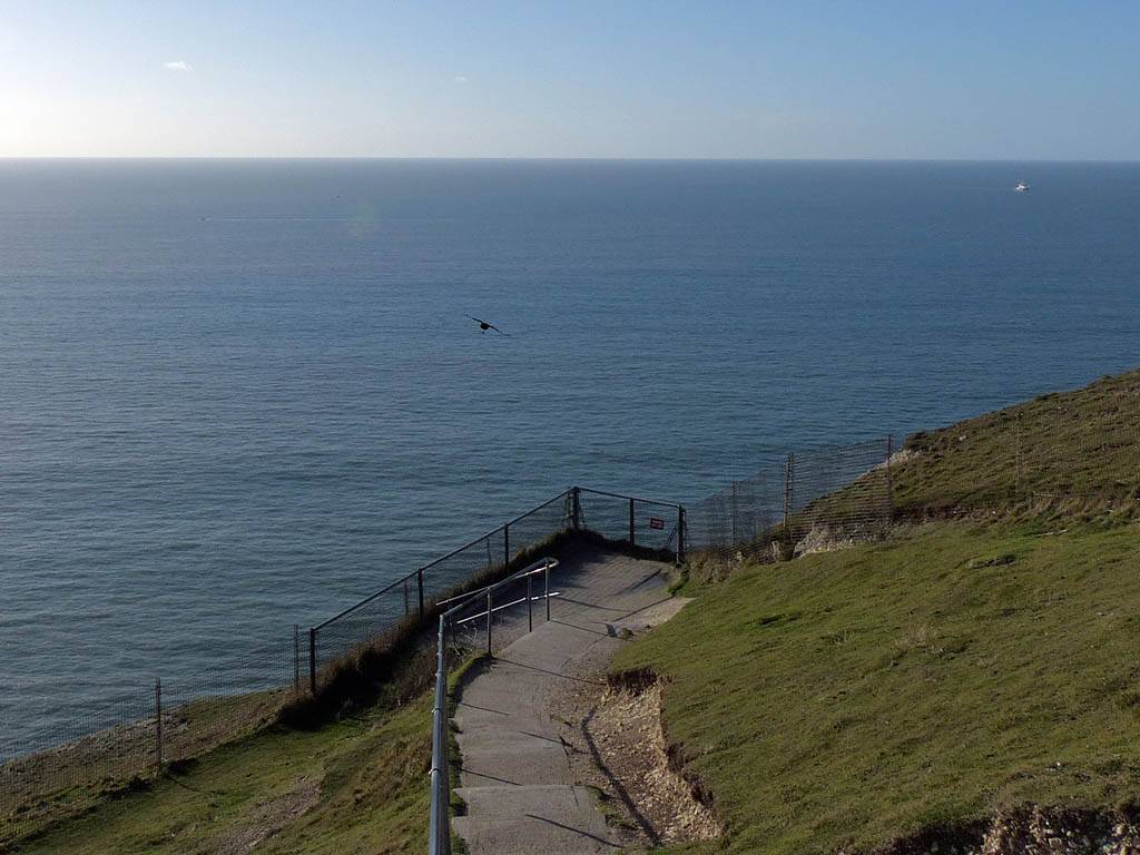
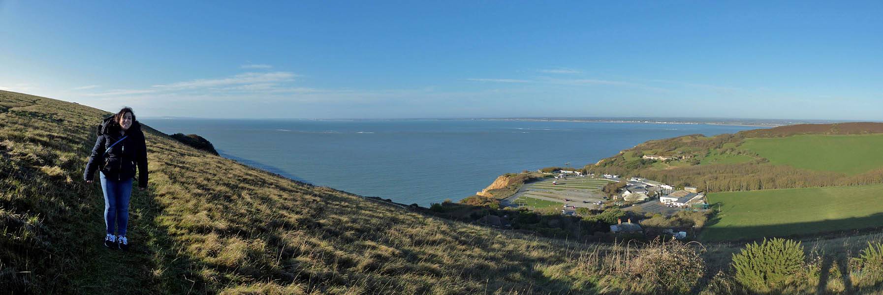
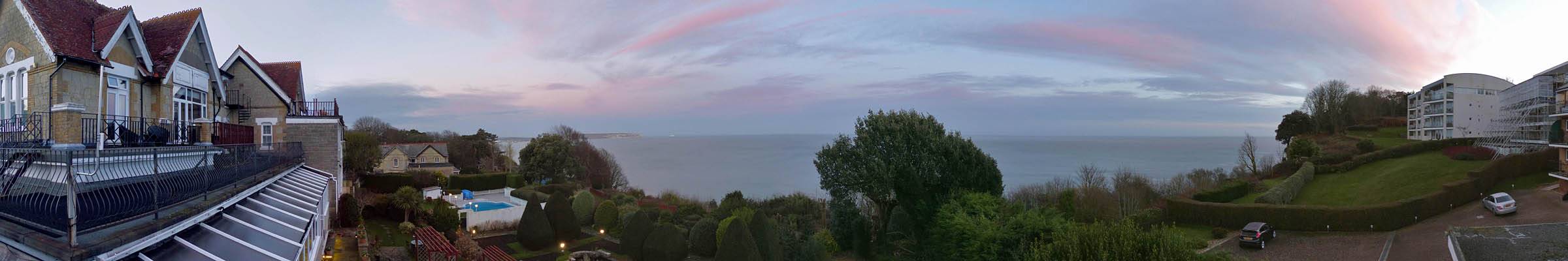
We were up at 9AM to a lovely sunny morning. This was expected to be the bext day of the week and we planned a drive right across the Isle. Now the view was gorgeous with a crystal clear view out over the English Channel. We had a nice breakfast before leaving around 10AM.
|
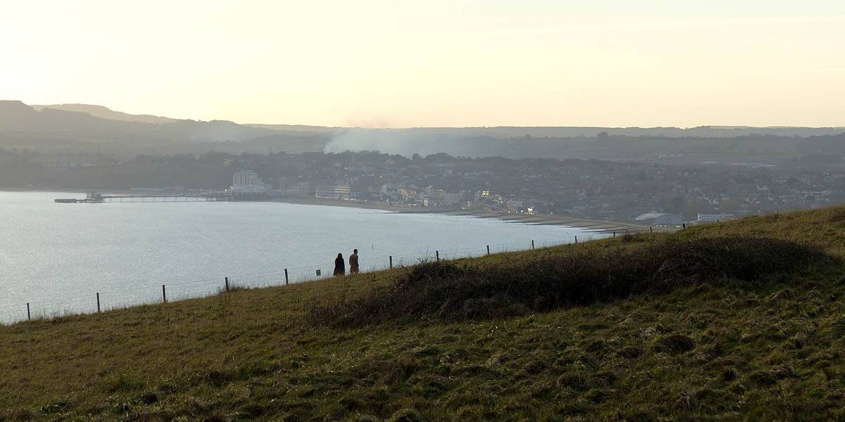
IMG_4105.jpg |
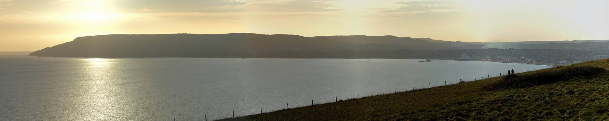
P1280996_001_Panorama.jpg |
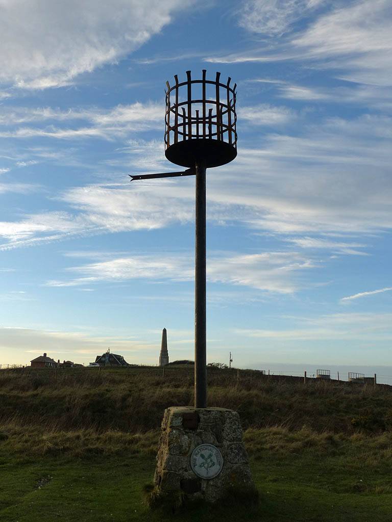
P1290003.jpg |
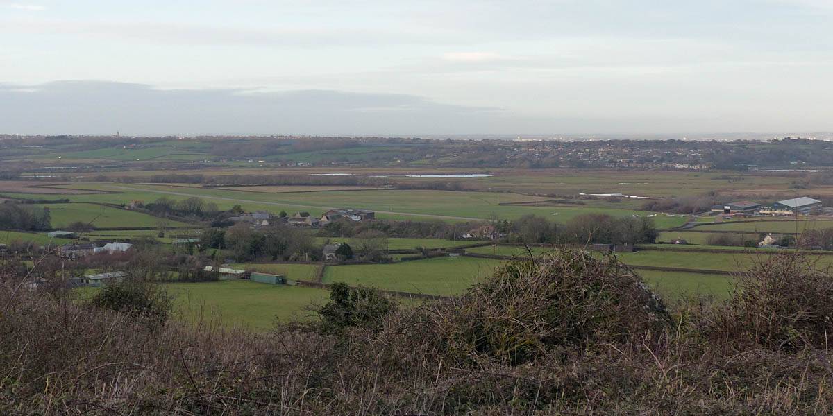
P1290006_011_Panorama.jpg |
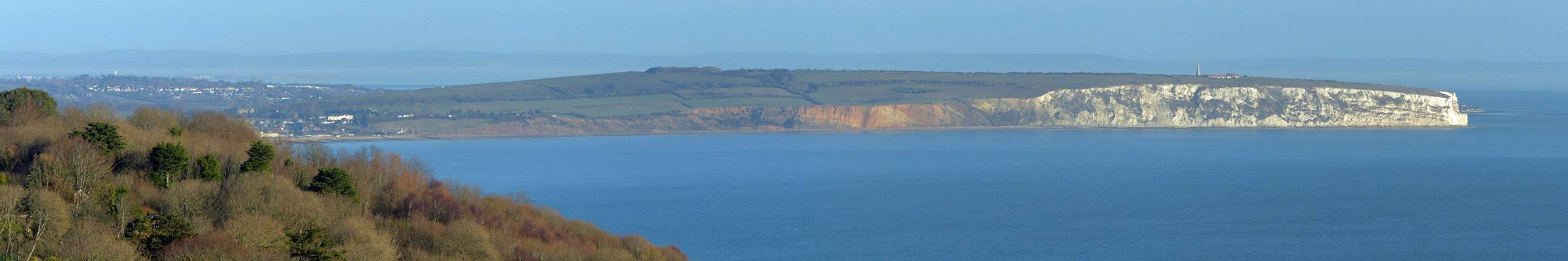
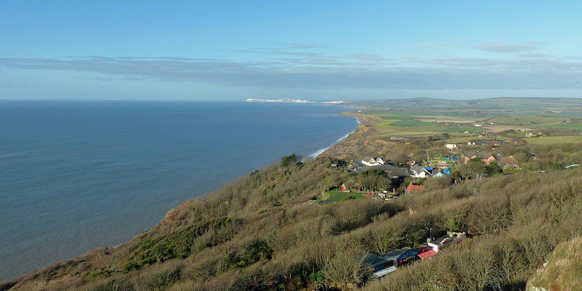
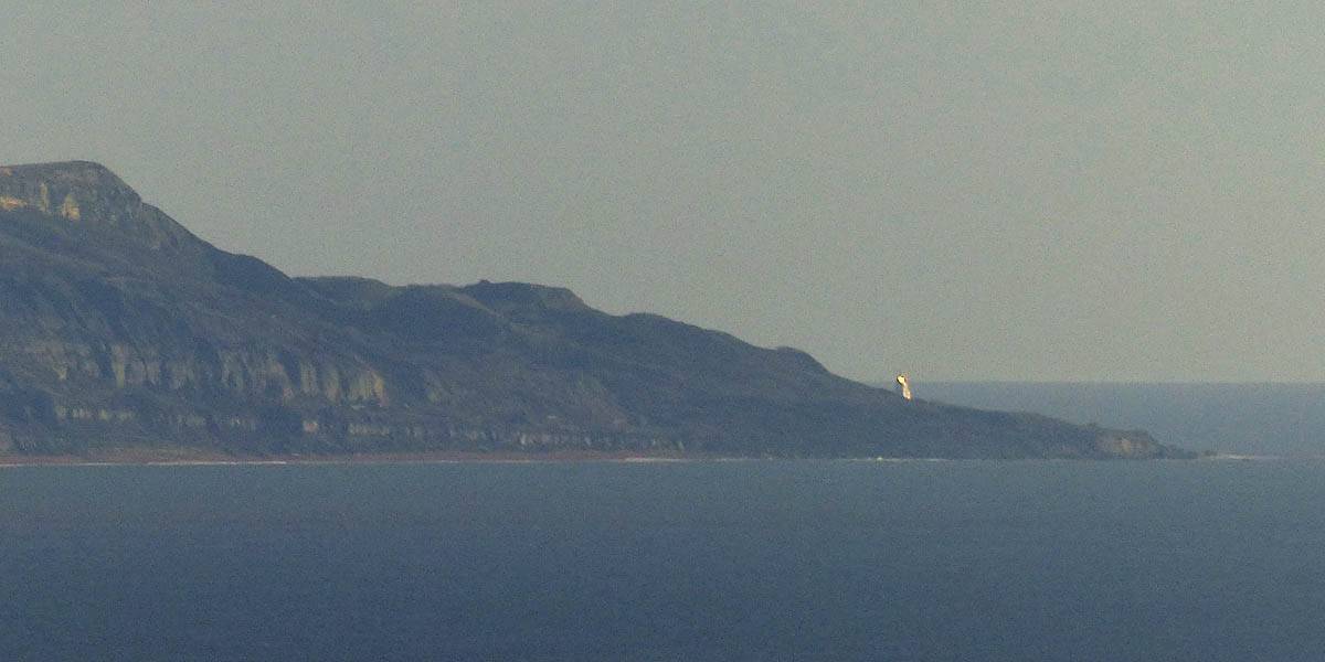
| What a difference a day makes! The window view is now crystal clear with ships visible out in the English Channel. | Looking Northwards across Sandown Bay to Culver Down and Culver Cliff. | ||
 P1290012_014_Panorama.jpg |
 P1290015_019_Panorama.jpg |
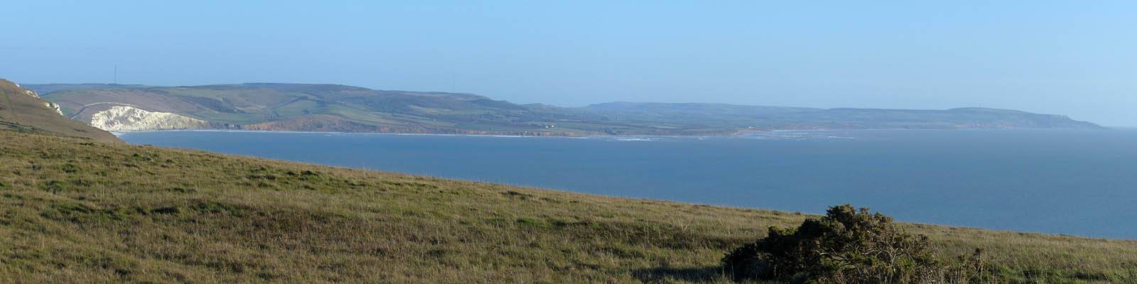
| A wider angle view to the North. | Looking at the entire length of Yaverland Beach and Culver Cliff. |
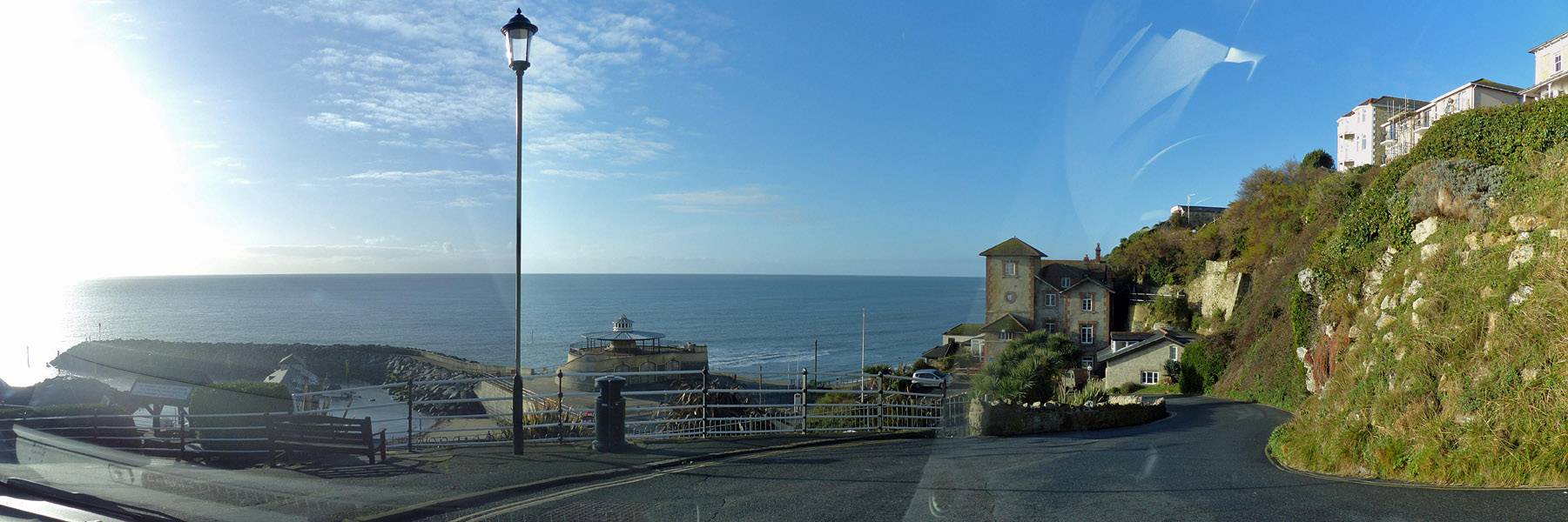
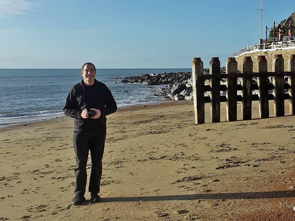
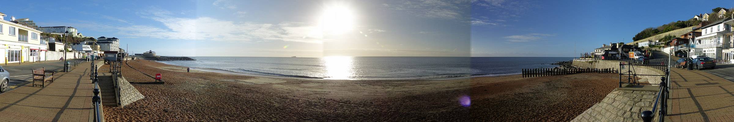
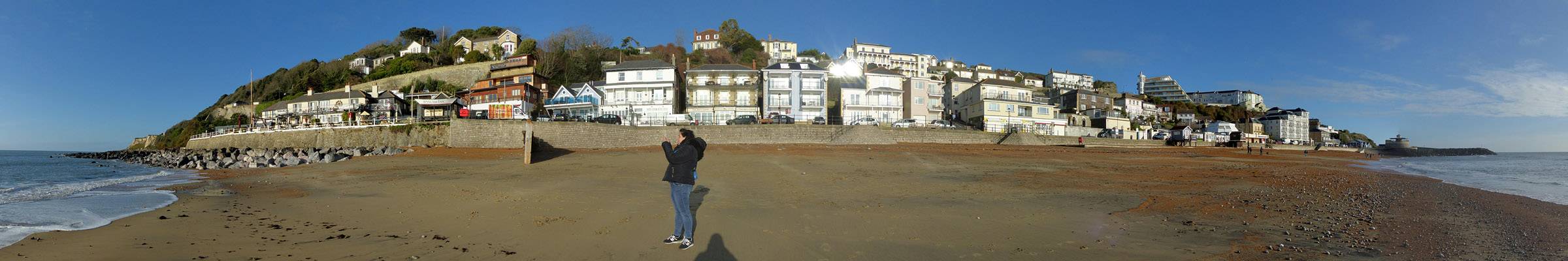
From Shanklin we followed the South Coast Westwards. Our first stop was Ventnor. We drove down a steep hill to get to the beach front and stopped for a little while to enjoy the small but lovely beach there.
 P1290021_023_Panorama.jpg |
 P1290025.jpg |
 20161222_102902.jpg |
 20161222_103317.jpg |
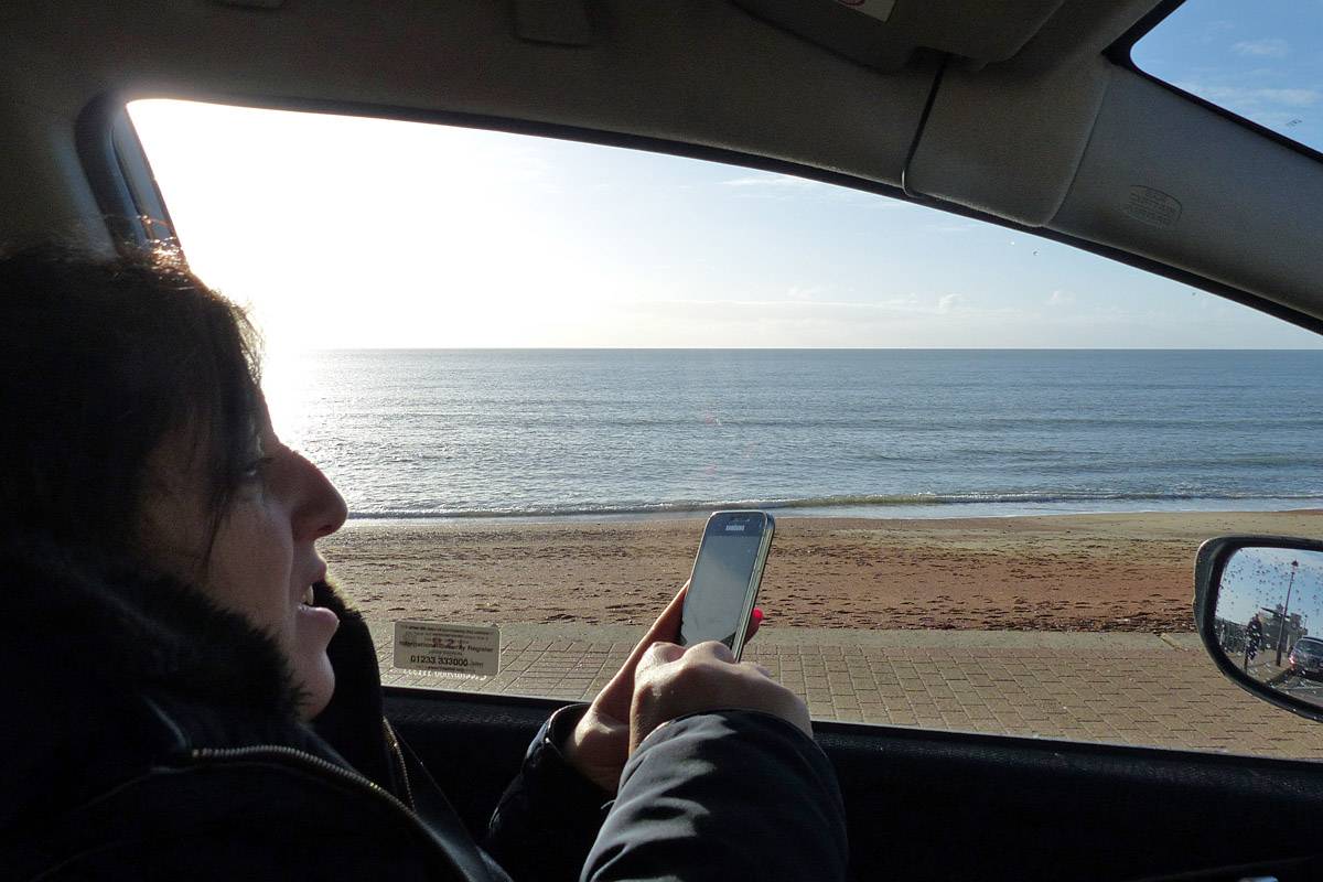
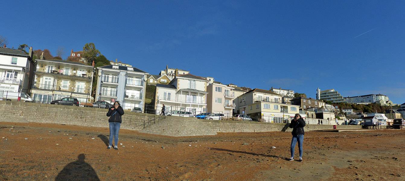
| Winding down Shore Hill to the Esplanade at Ventnor. | Renée making use of her phone's camera as we prepare to park up. | Renée took some nice shots of the sun shining over the sea and Mike on Ventnor Beach. | |
 P1290026_030_Panorama.jpg |
 P1290032_033_Panorama.jpg |
 P1290035_040_Panorama.jpg |
| Ventnor Beach. | Two shots of Renée at different angles as she took photos of me happened to stitch together into an arty panorama. | Another panorama of Ventnor Beach from the sea edge as Renée continues to enjoy the scene. |
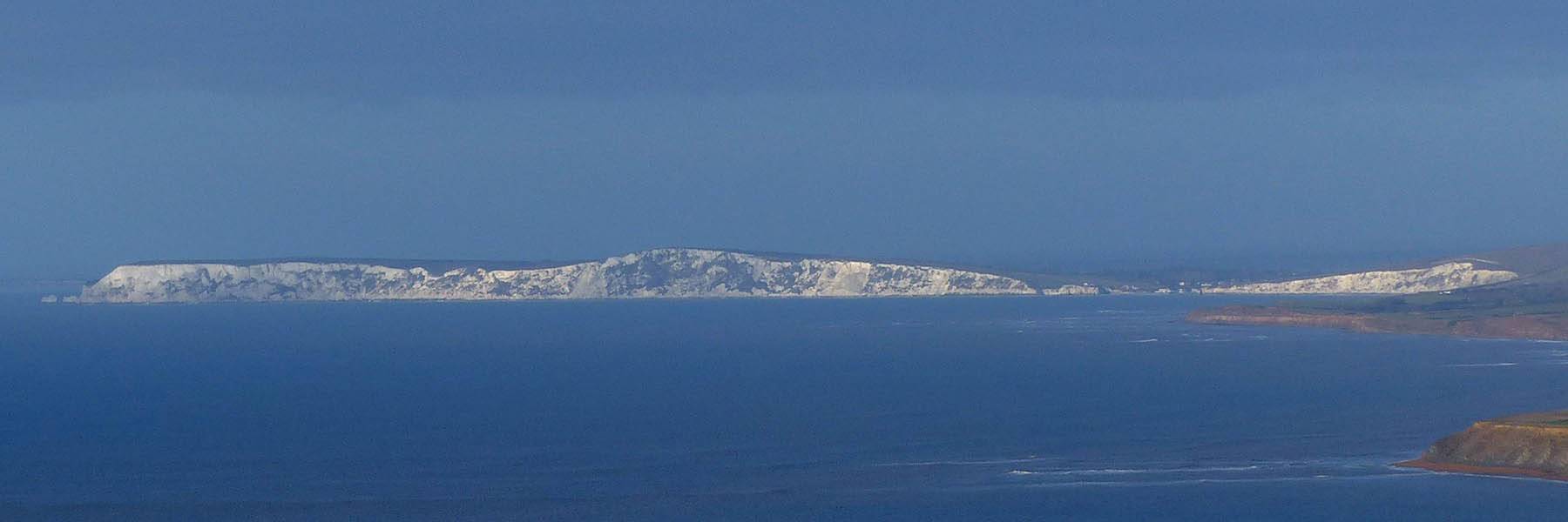
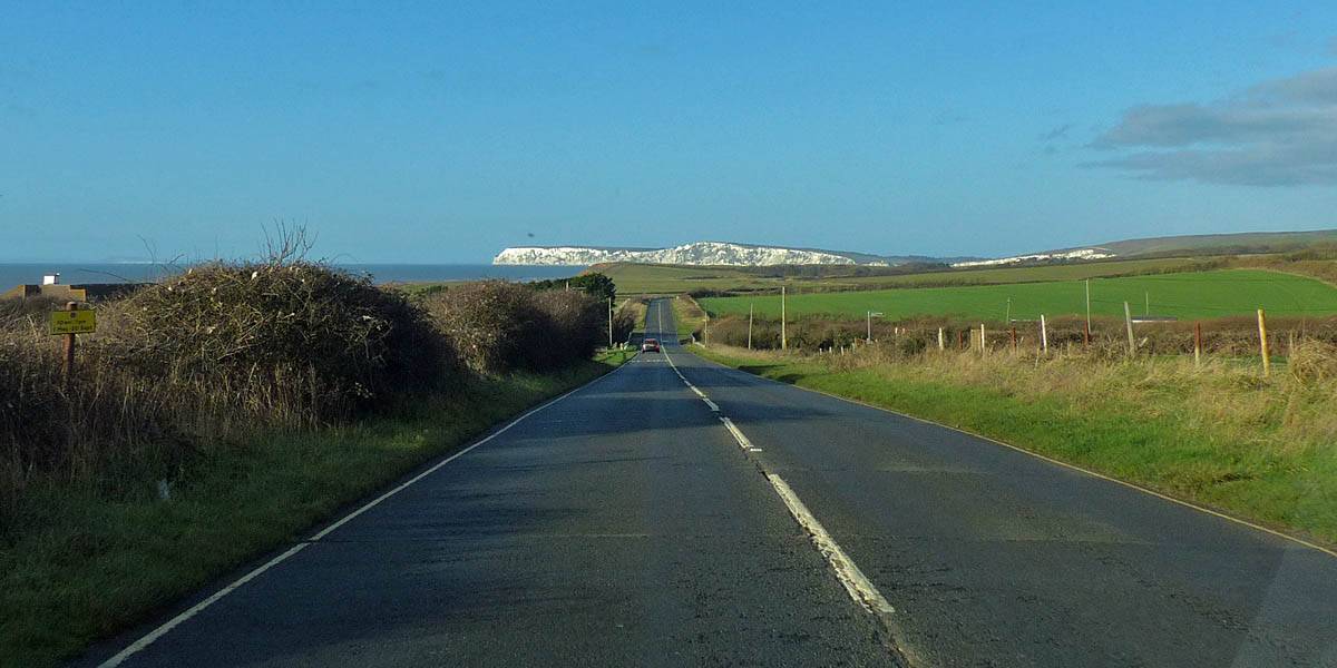
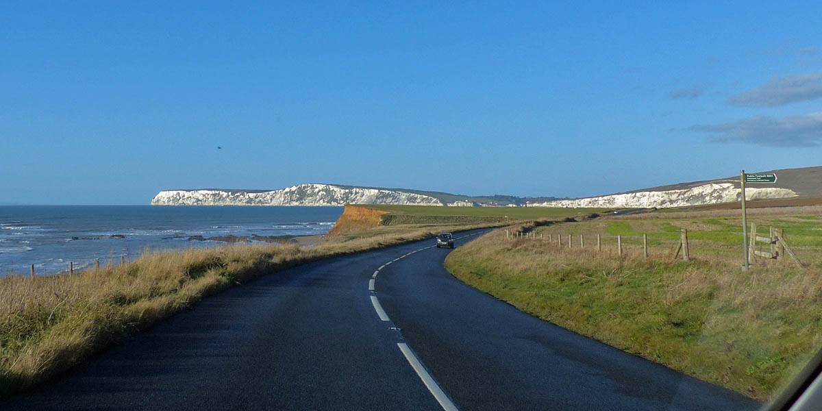
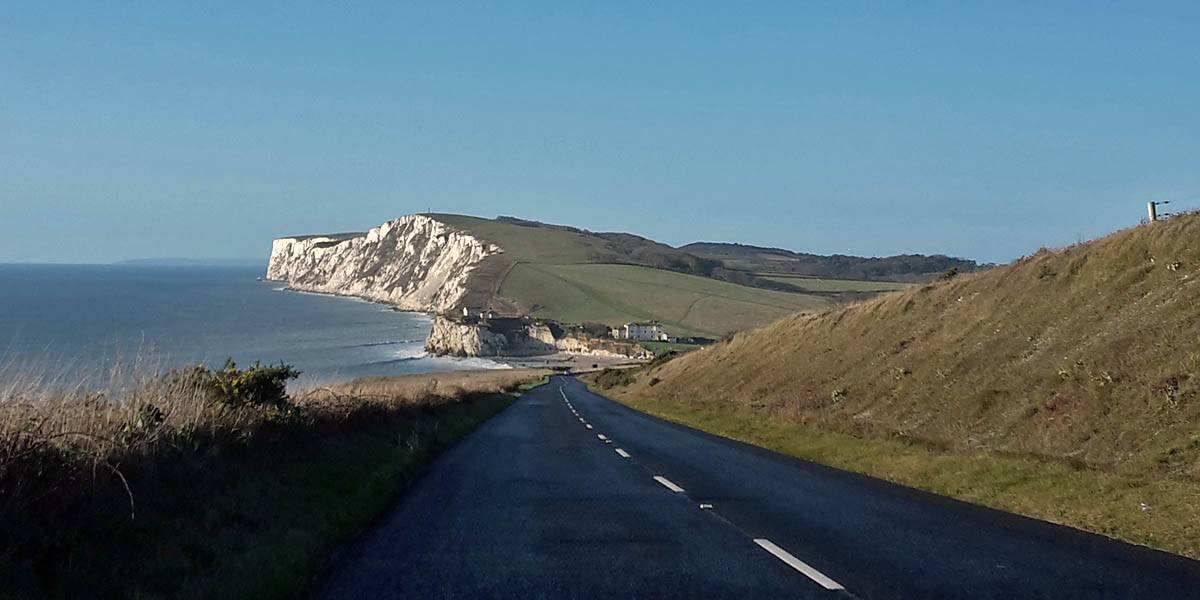
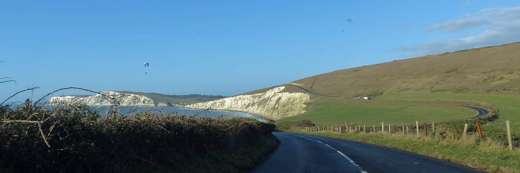
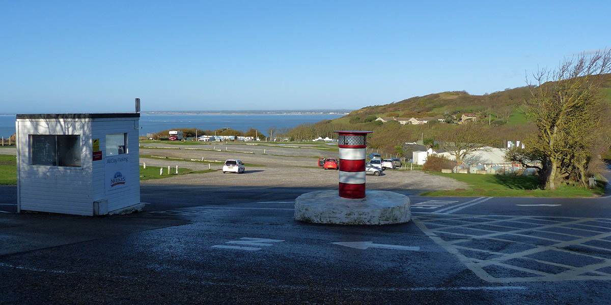
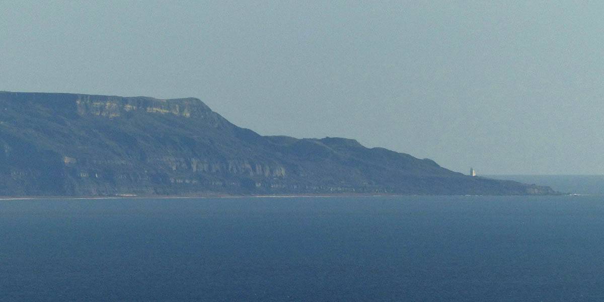
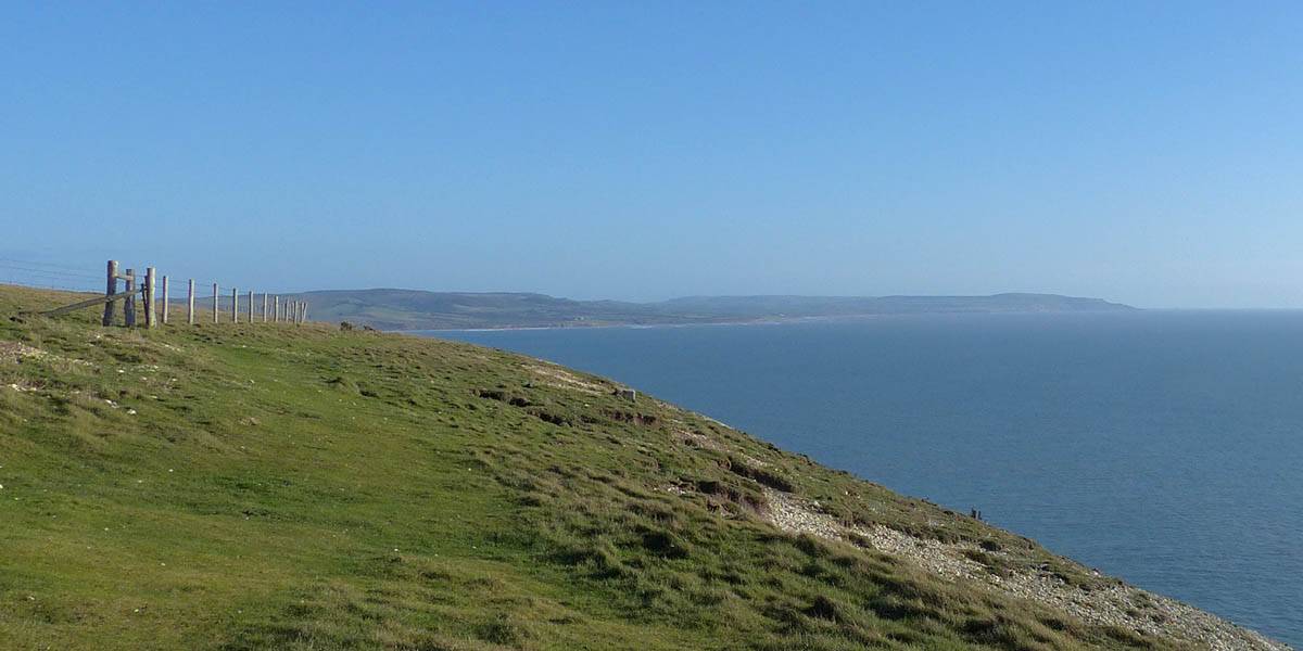
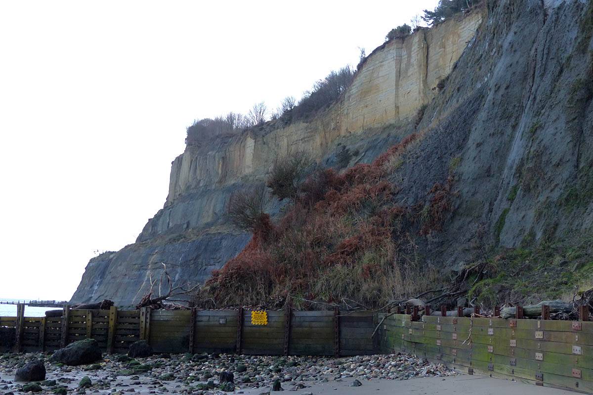
We then drove up a steep slope to get to the main road over the cliff tops. Alas the planned coast road under the cliffs was closed but atleast the higher road, although not quite as scenic, got us easily past the closure to get to St. Catherine's Point. Here I was hoping to get to the lighthouse but it was closed for the winter and the road was a private one closed to cars. I was tempted to go for a walk but decided we were better off carrying on to the Needles. So we rejoined the main road and carried on Westwards. Just along the road we stopped before Blackgang Road descended from the cliff and in the crystal clear air we got some great views across the coastal plain to the distant cliffs of the Needles Headland. The Needles were a magnet drawing us in across the plain until we eventually reached the inland end of the cliffs East of Freshwater Bay. Then we followed the roads Westwards onto the headland until we arrived at the Needles Attraction car park.
 P1290044.jpg |
 P1290045.jpg |
 P1290058.jpg |
 20161222_105648.jpg |
 P1290059.jpg |
 P1290070.jpg |
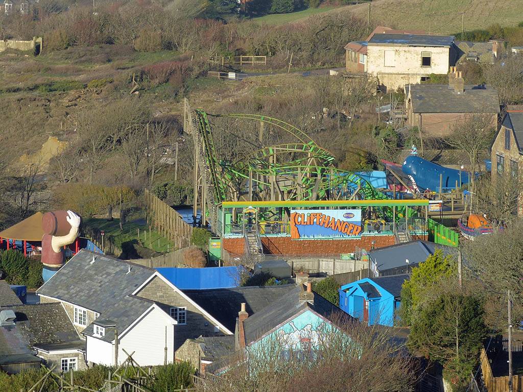
| The view Northwestwards to the Needles from the edge of the cliff just West of St. Catherine's Point. | Mike and Renée enjoying the views. | Below the cliff is Blackgang Chine Theme Park. | Heading across the coastal plain from St. Catherine's Point to the Needles. | ||
 P1290073.jpg |
 20161222_112547.jpg |
 P1290075.jpg |
 P1290077.jpg |
 P1290079.jpg |
 P1290083.jpg |
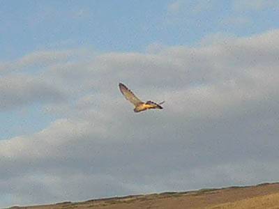
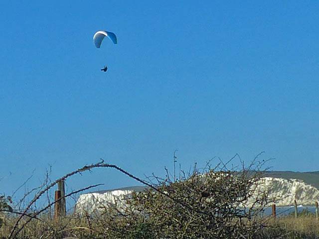
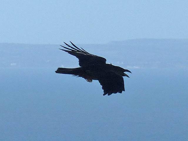
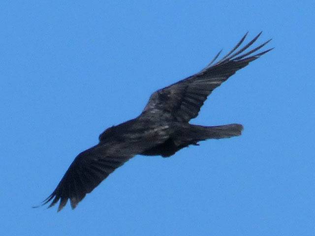
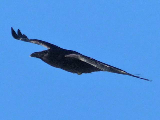
| More views as we get closer to the Needles. | A kestrel hovering by the road just Southeast of the Needles headland. | About to climb up onto the headland. | A paraglider. | Parking up at the Needles car park. Time to walk! | |
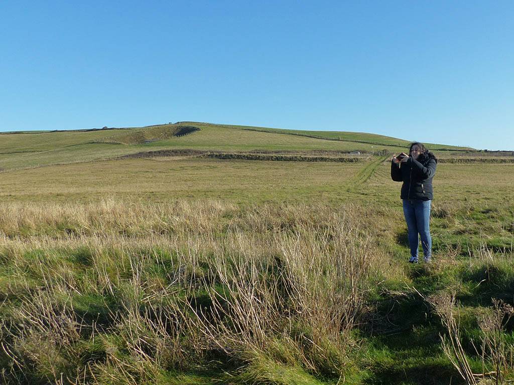
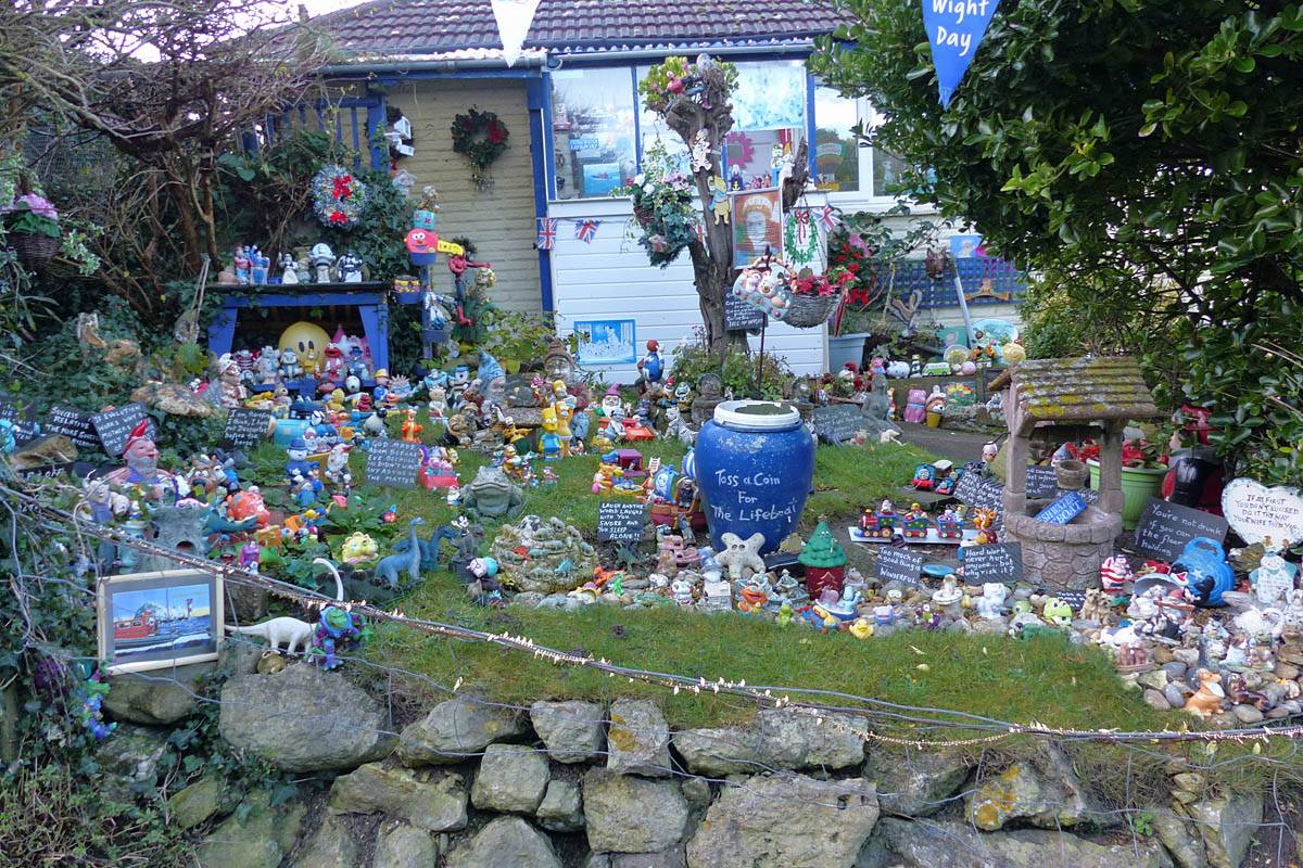
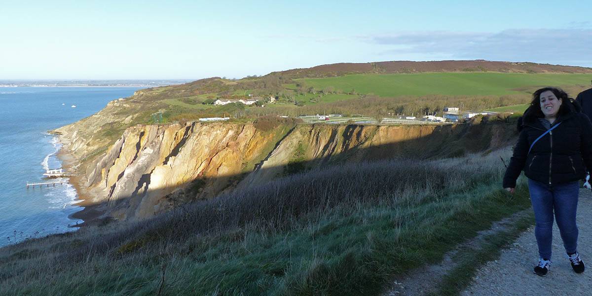
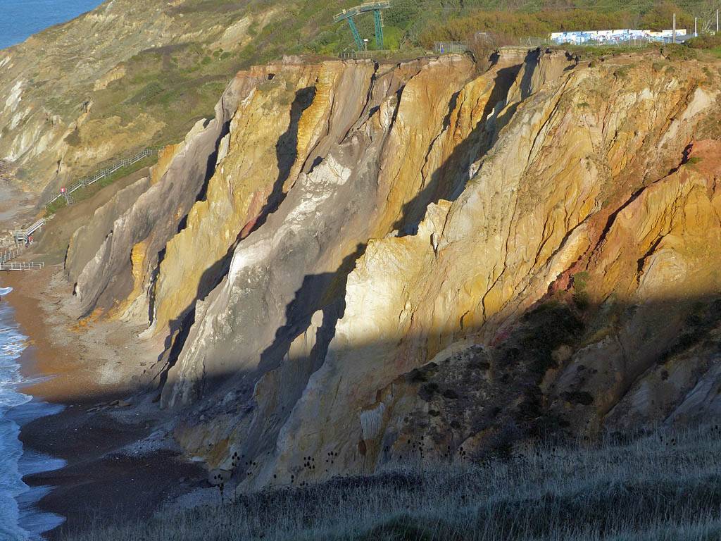
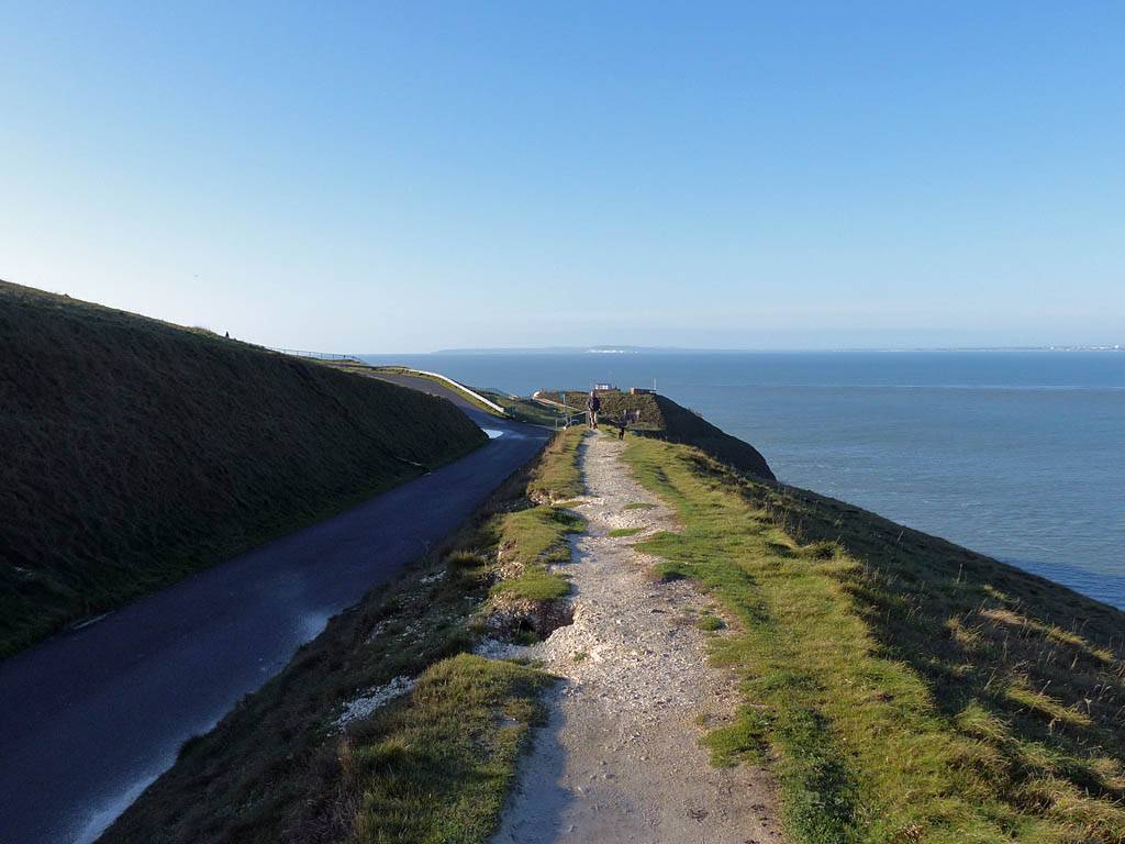
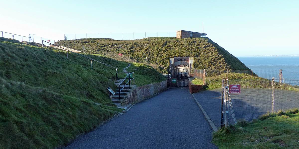
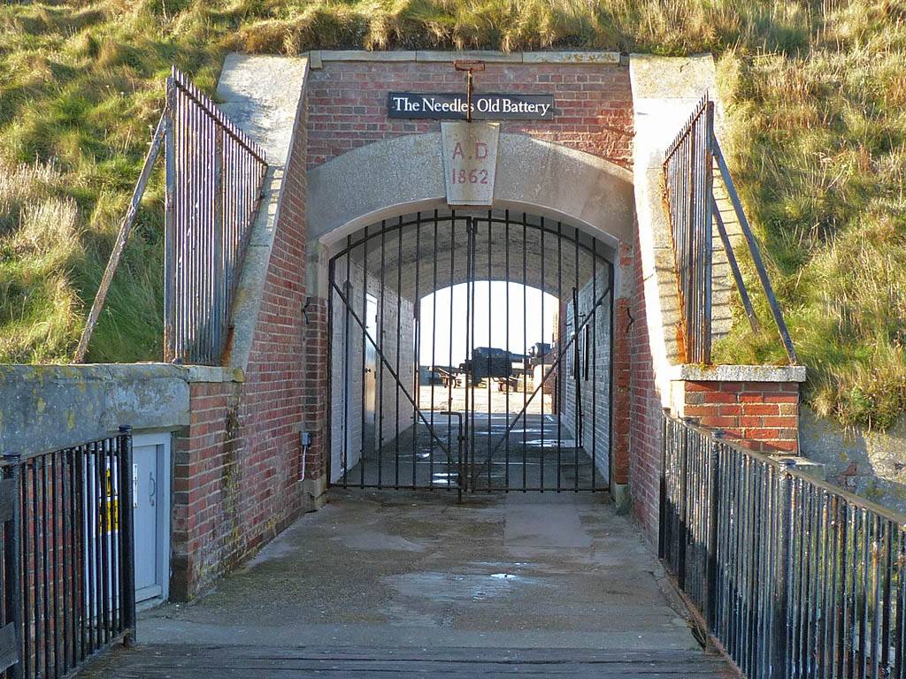
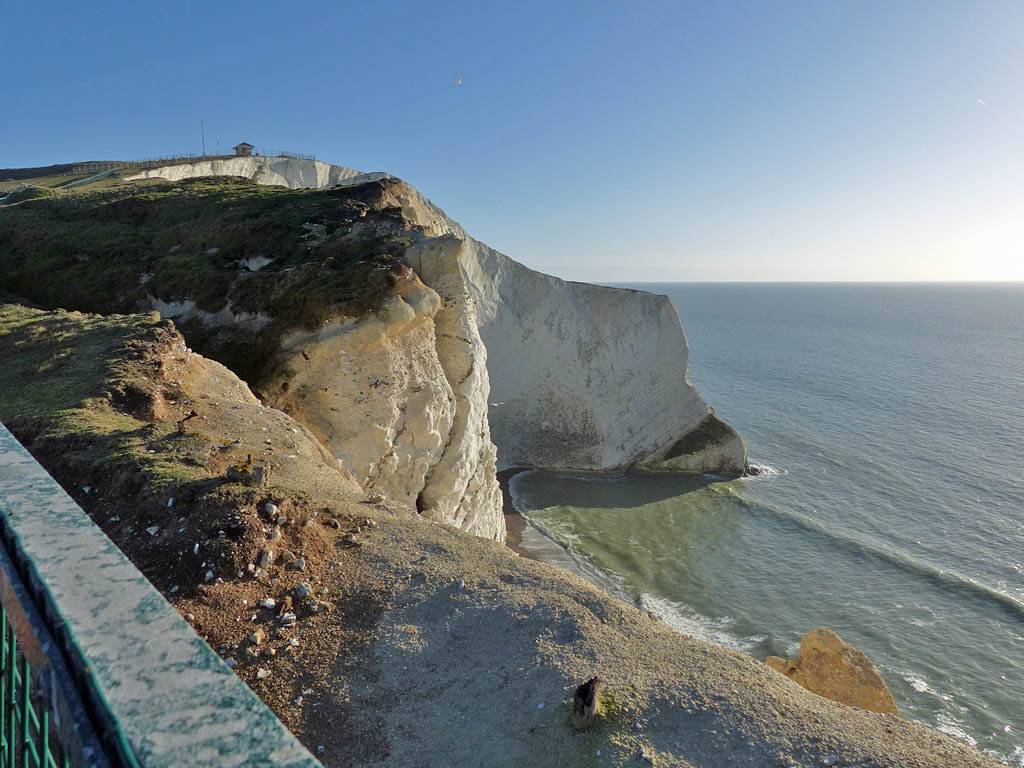
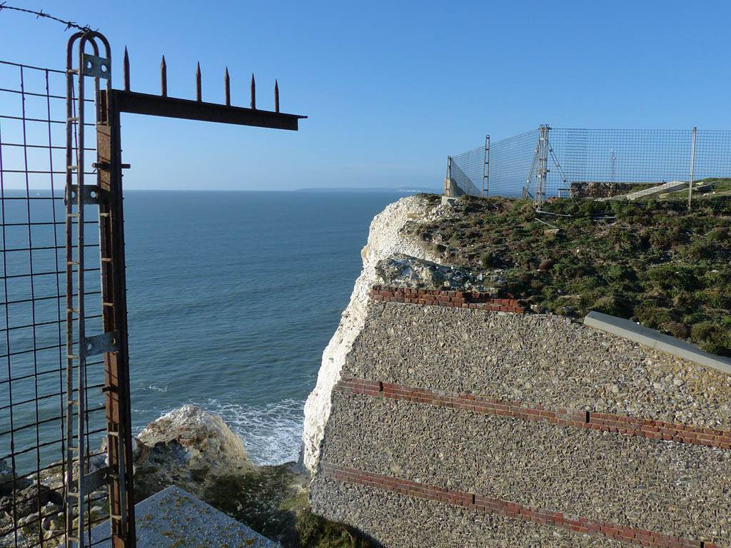
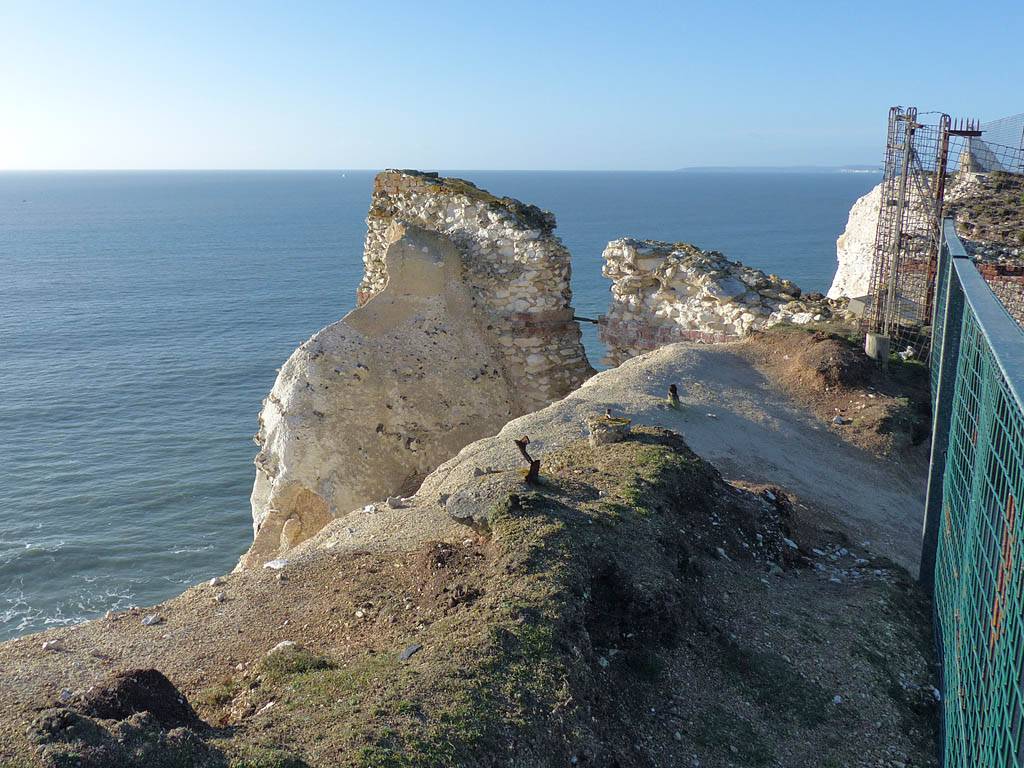
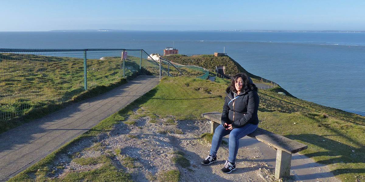
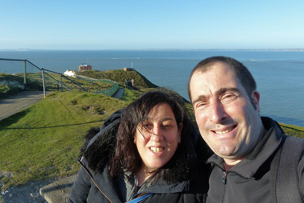
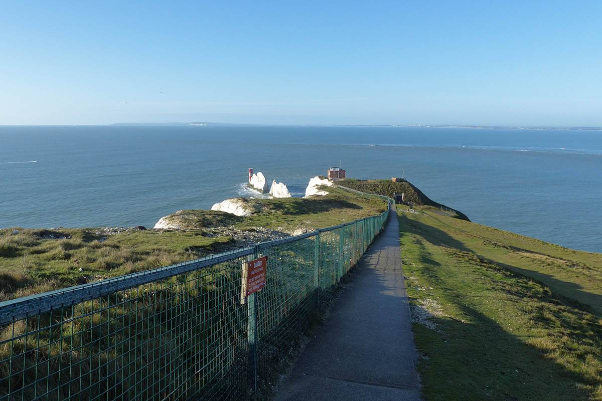
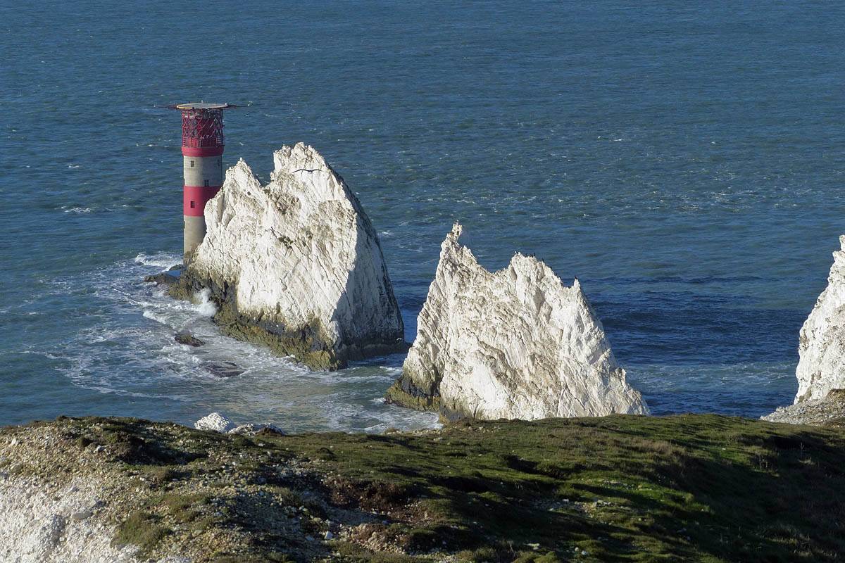
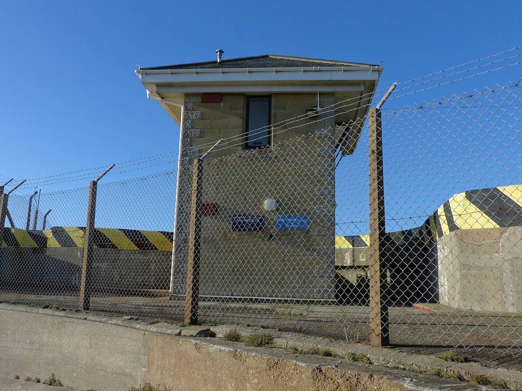
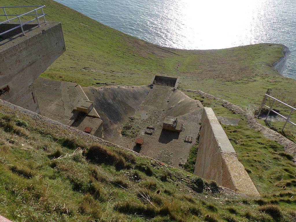
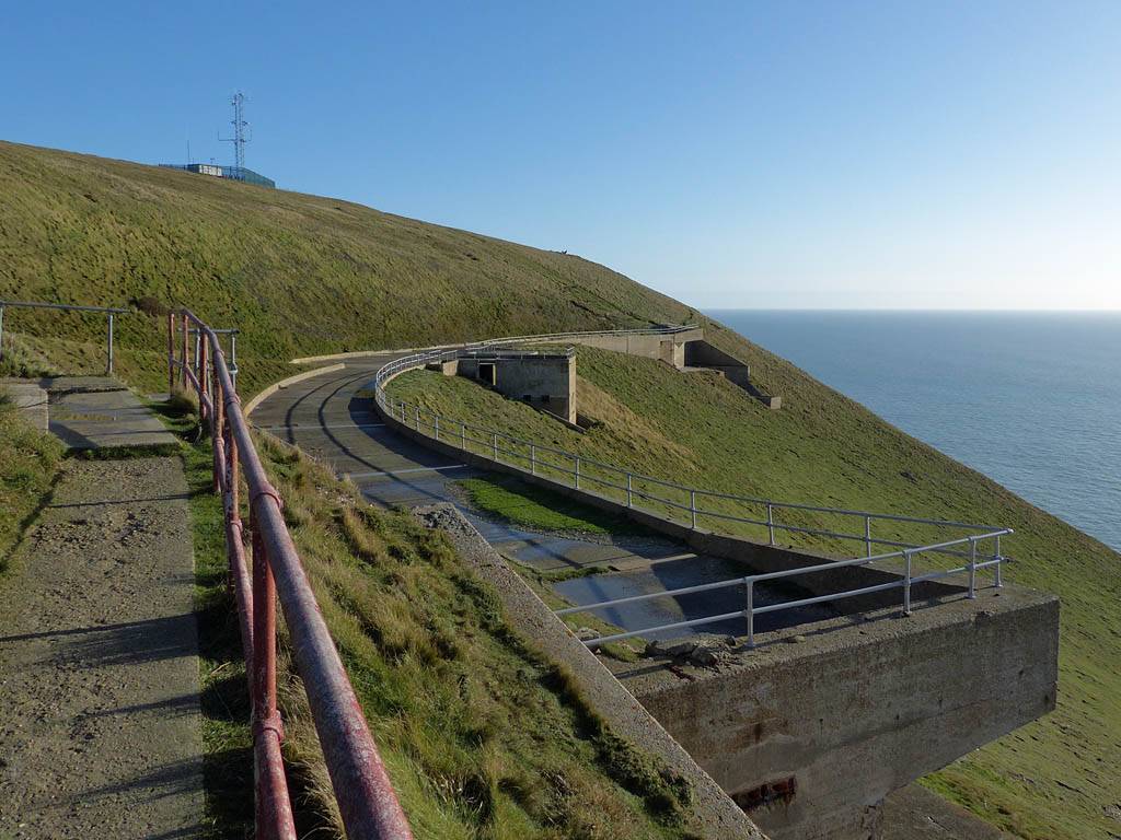
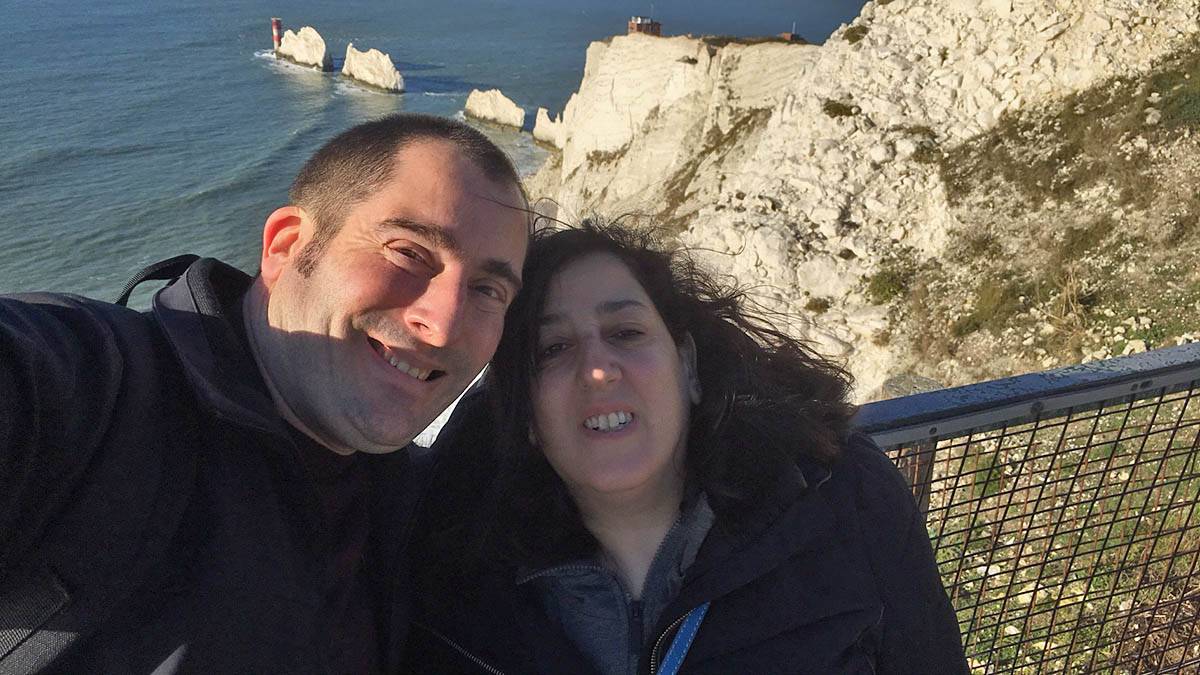
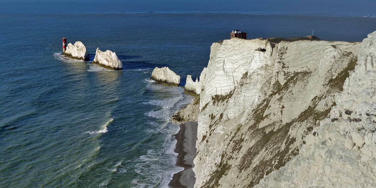
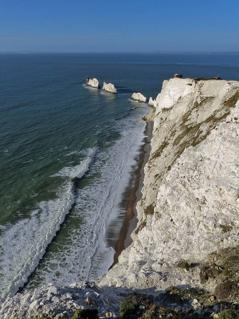
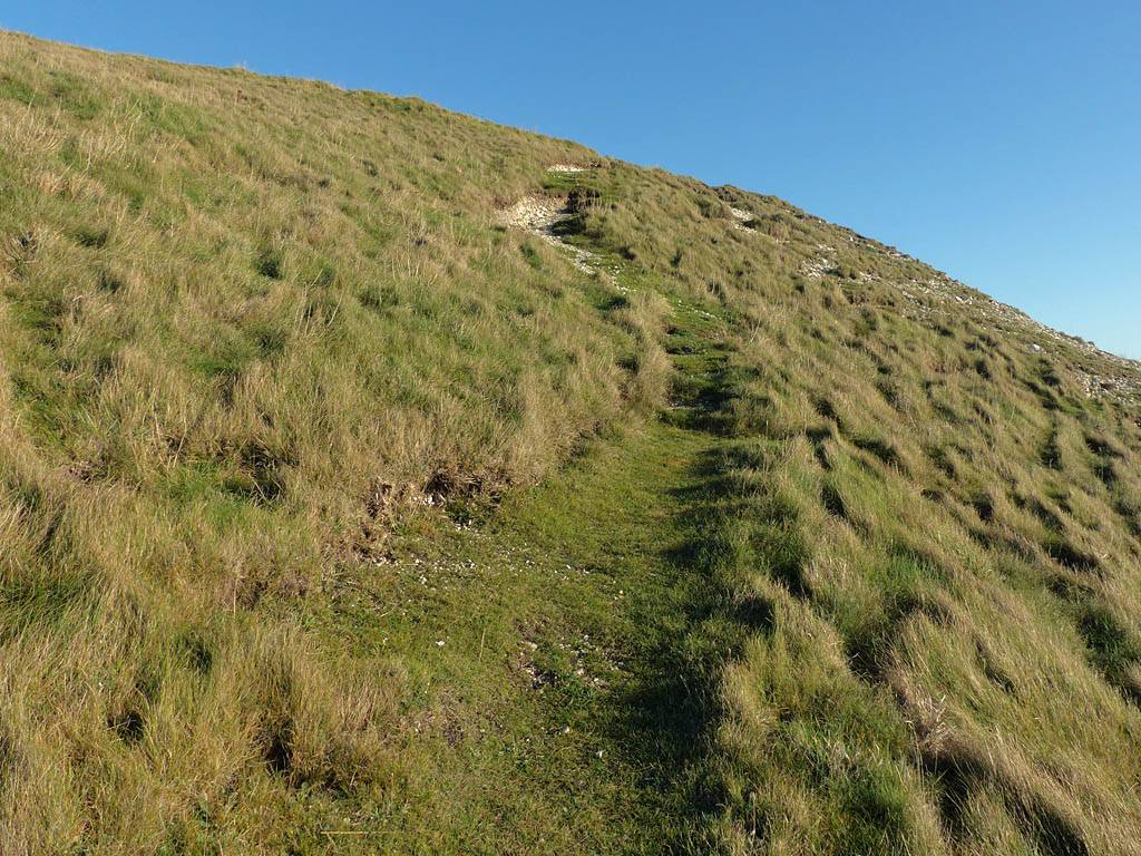
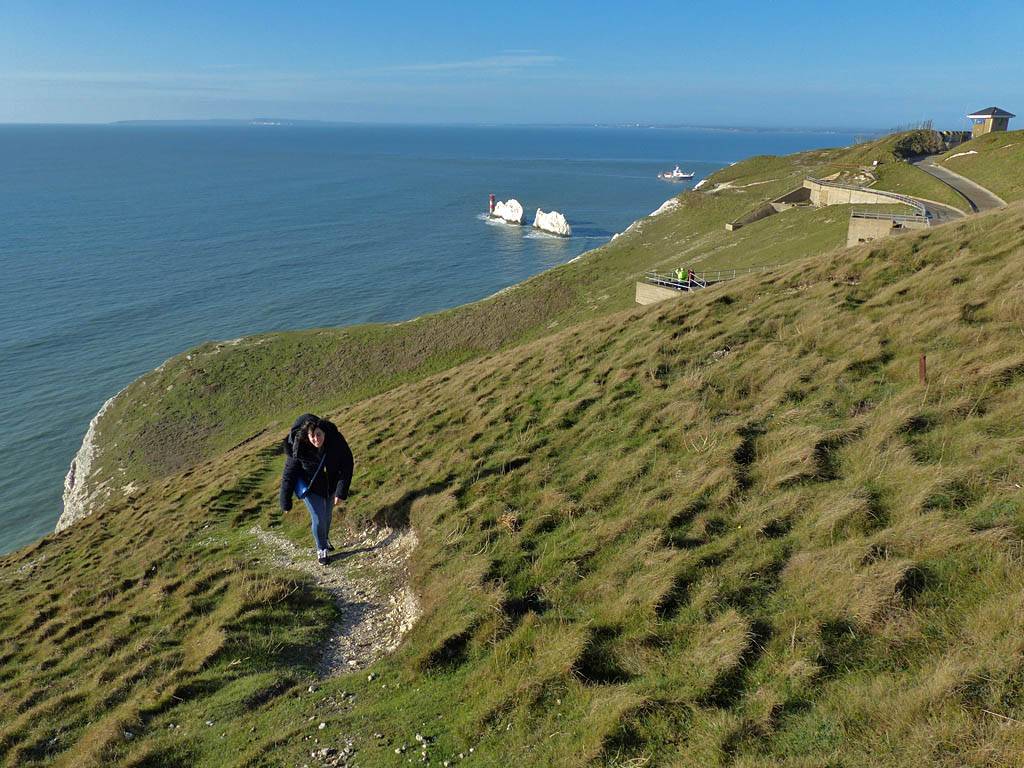
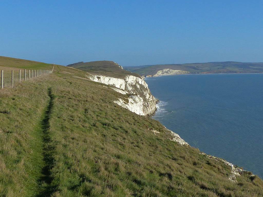
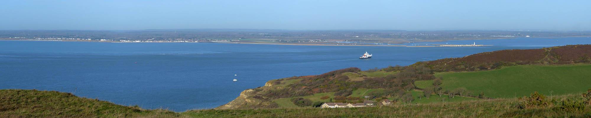
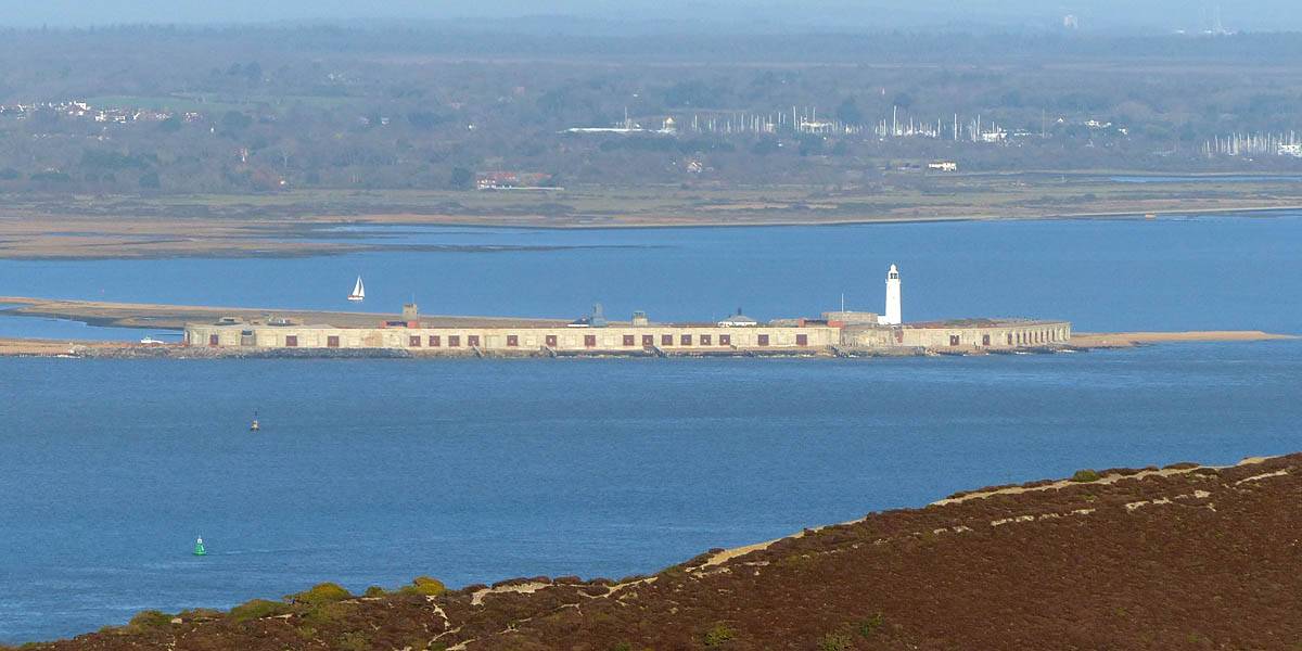
After parking up we took off along the small road that led us along the North side of the headland. After passing a curious garden display the path took us Westwards. As we headed out we got a great view of the multicoloured sands of Alum Bay and across the Solent to Hurst Castle and the Dorset and Hampshire coastline. Eventually we reached the Needles Battery. After having a little nose around we went up the hill to a viewpoint. As we climbed up to the top the needles themselves came into view. At the top we passed a coastguard station and then round to a viewpoint which gave picture postcard views of the Needles lit brightly in the glorious sunshine. This was on the edge of an old test missile firing site. After enjoying the view we headed East along the remains of the range and then climbed up to the top of the headland. We followed the cliff edge Eastwards before joining the main path along to the summit of the headland. After enjoying the view here we just needed to go a bit further East to get to what looked on the satpics like a path down. But it was a sheer drop down a slippery slope steeper than 1:1. So no way! However just a few meters further on we found a diagonal path that allowed us to safely descend without walking many extra miles. I did slip on the way down but had a soft landing and all was fine. We got back to the path at about 12:15PM so now was a good time to go and find some food.
TODO: Captions coming soon.
 P1290088.jpg |
 P1290098.jpg |
 P1290099.jpg |
 P1290108.jpg |
 P1290110.jpg |
 P1290115.jpg |
| . | |||||
 P1290116.jpg |
 P1290121.jpg |
 P1290123.jpg |
 P1290125.jpg |
 P1290127.jpg |
 P1290128.jpg |
| . | |||||
 P1290130.jpg |
 P1290131.jpg |
 P1290134.jpg |
 P1290135.jpg |
 P1290138.jpg |
 P1290140.jpg |
| . | |||||
 P1290141.jpg |
 P1290142.jpg |
 P1290144.jpg |
 P1290145.jpg |
 P1290146.jpg |
 DKHI6393.jpg |
| . | |||||
 P1290154_159_MPanorama.jpg |
 P1290160.jpg |
 P1290163.jpg |
 P1290167.jpg |
 P1290168.jpg |
 P1290171.jpg |
| . | |||||
 P1290172.jpg |
 P1290173.jpg |
 P1290175_182_360Panorama.jpg |
 P1290184_188_Panorama.jpg |
| . | |||
 P1290189.jpg |
 P1290193.jpg |
 P1290194.jpg |
 P1290195_198_Panorama.jpg |
 P1290199.jpg |
| . | ||||
 P1290205.jpg |
 P1290207_209_Panorama.jpg |
 P1290211.jpg |
| . |
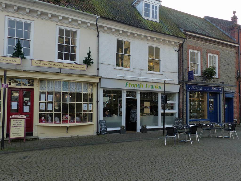
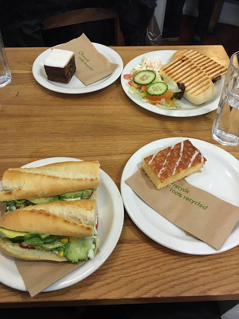
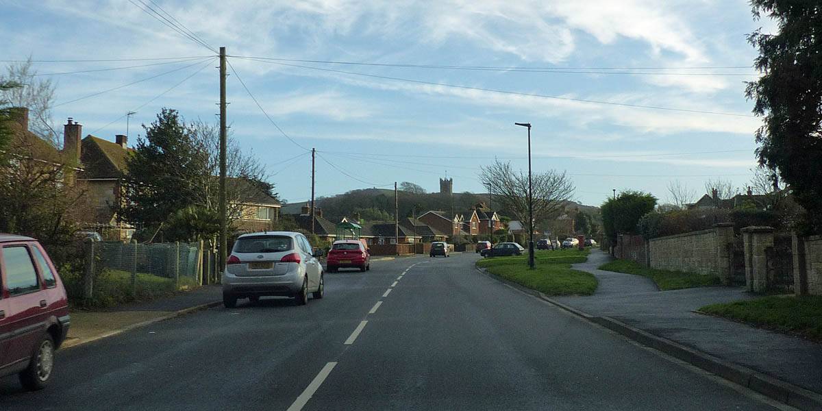
We drove to Newport along 'The Middle Road' and headed straight for the town centre where we found a suitable car park to park in. We found another French Franks which we went to at 1:30PM. After another delicious sandwich and cake with drinks we had a quick look around. However we weren't too impressed so we didn't stay too long, and set off soon after 2PM.
TODO: Captions coming soon.
 P1290218.jpg |
 P1290219.jpg |
 P1290220.jpg |
 P1290221.jpg |
 P1290223.jpg |
 IMG_4112.jpg |
| . |
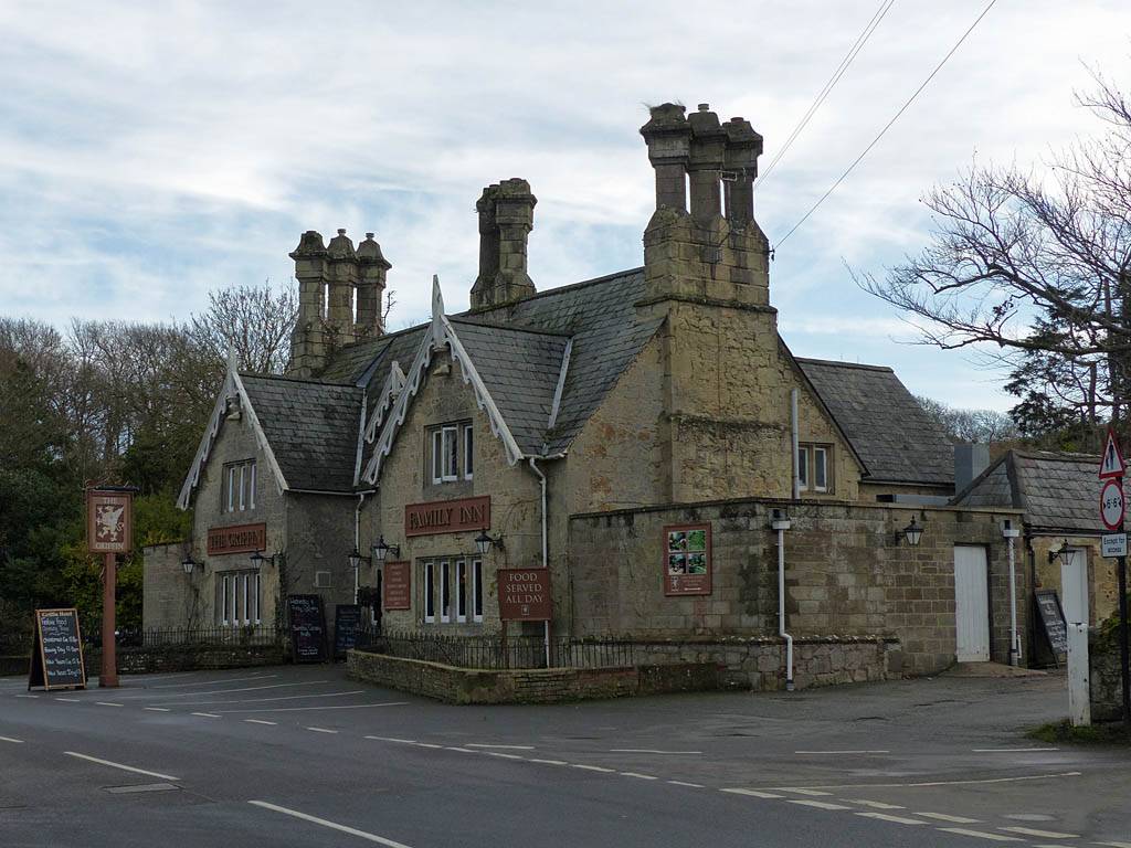
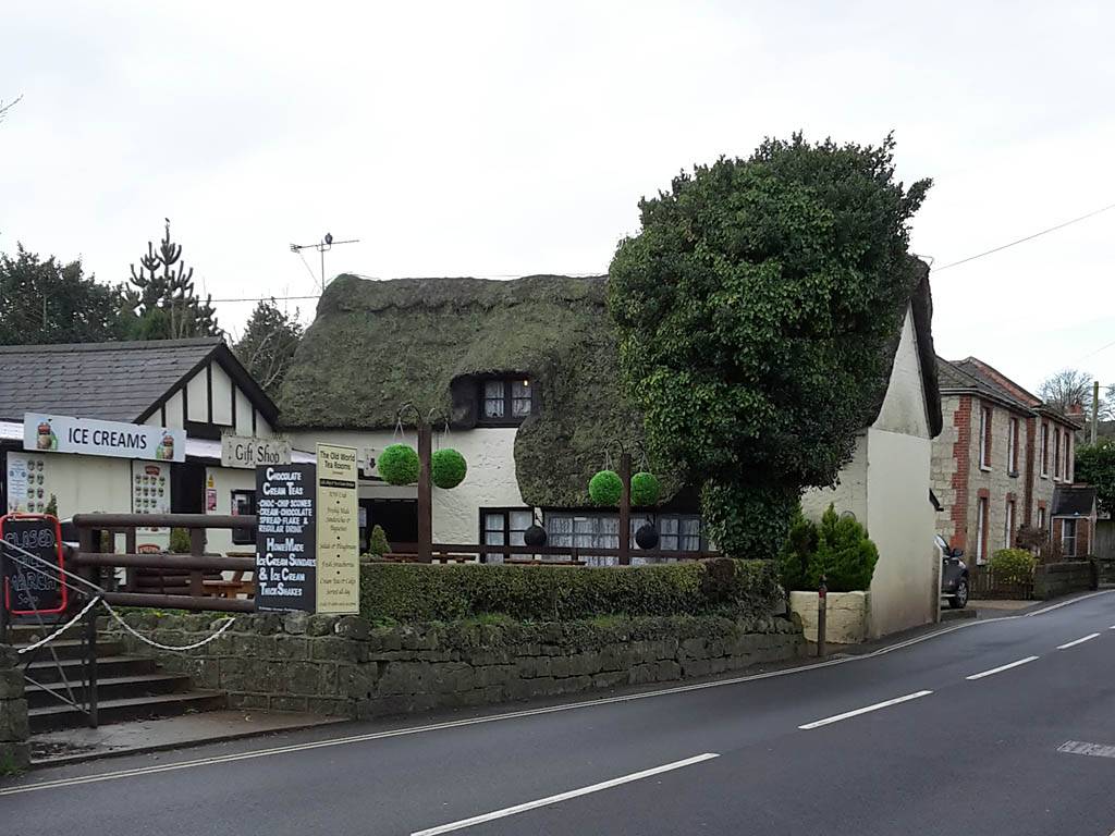
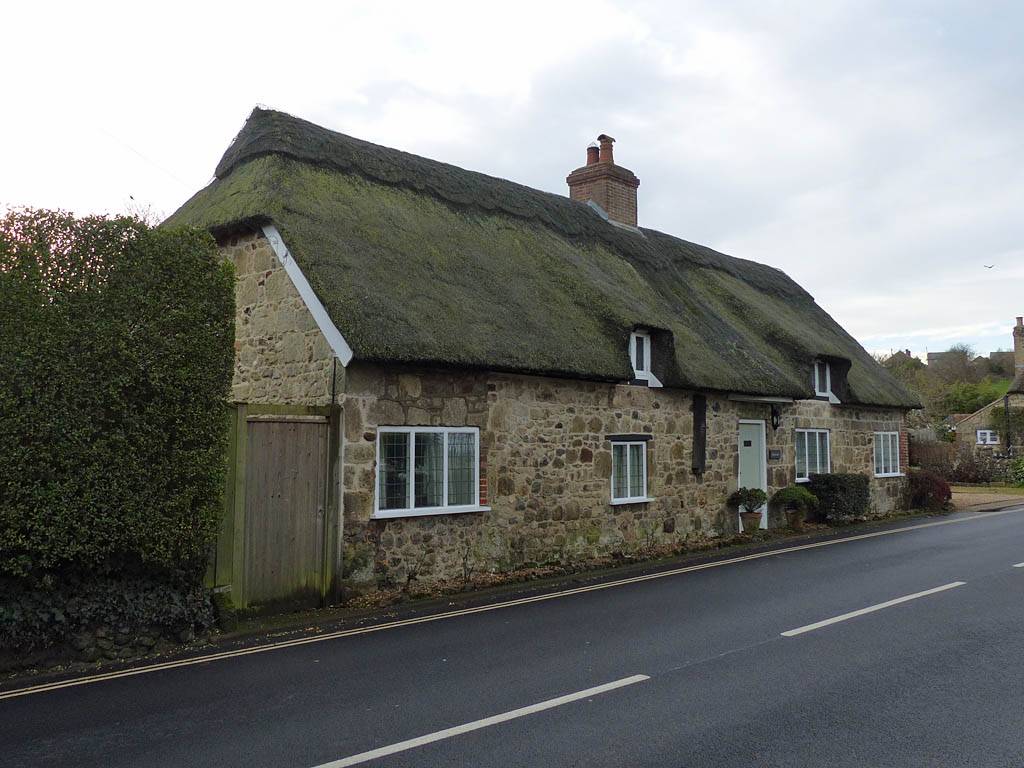
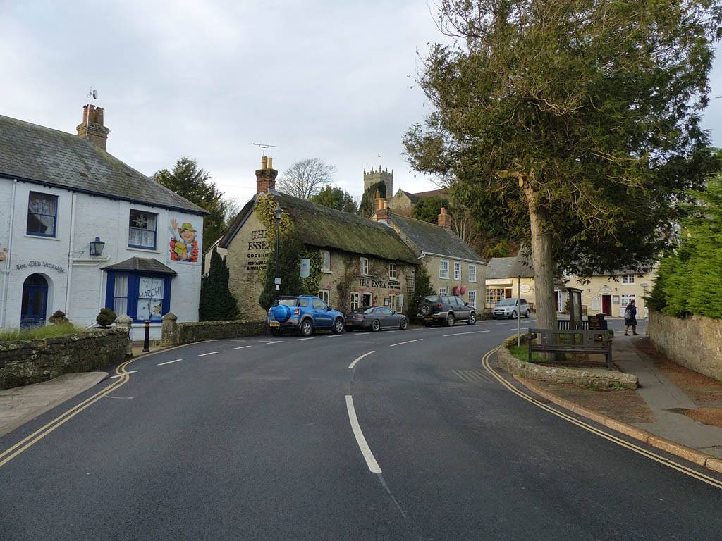
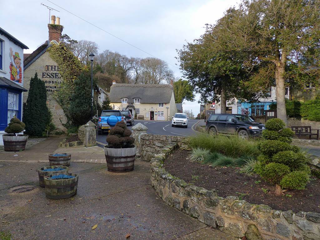
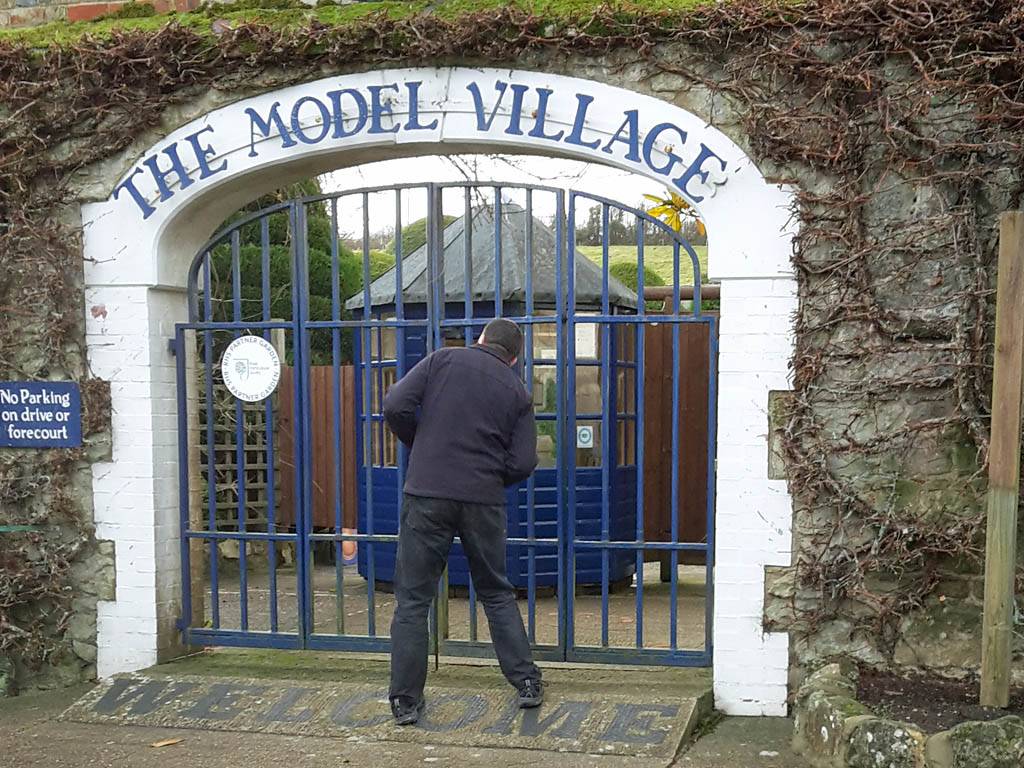
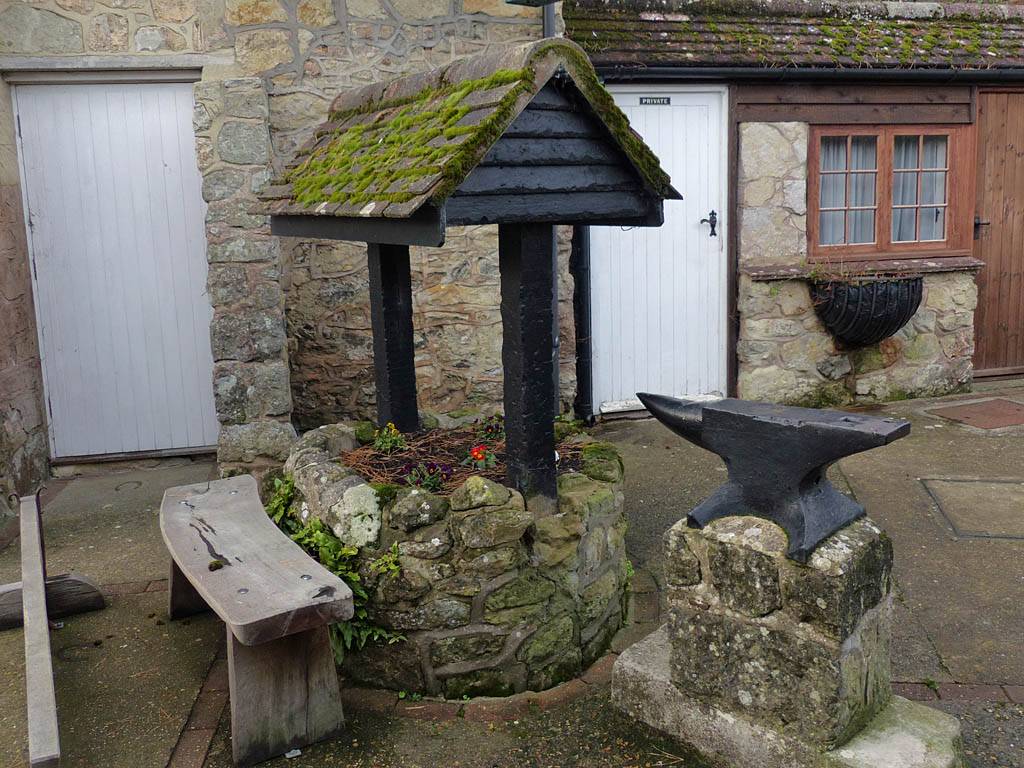
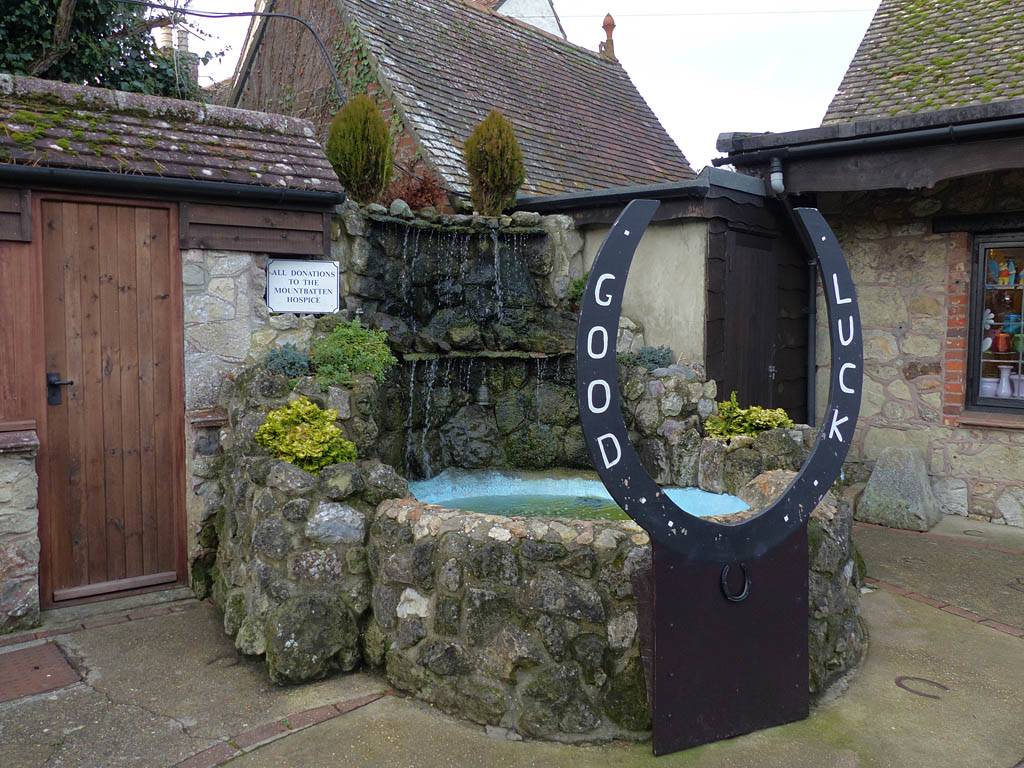
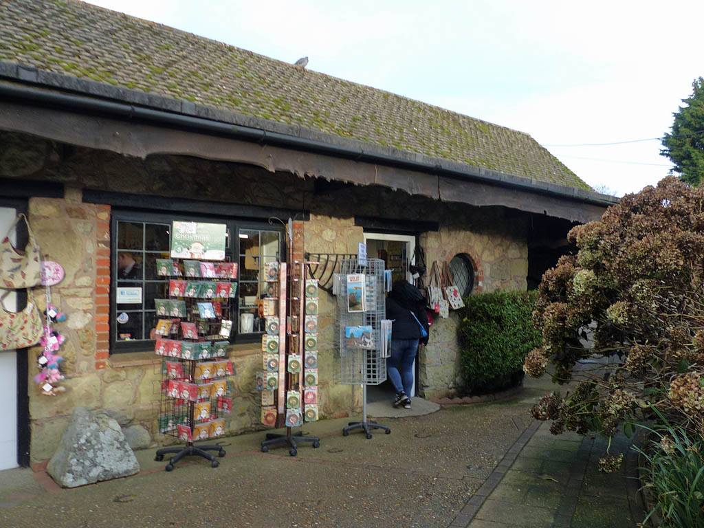
A Southerly exit from the hustle and bustle of Newport soon had us back onto lovely country roads. After driving through Blackwater and Rookley we arrived at Godshill and parked up at The Old Smythy. As promised, the village was a 'chocolate box' picture postcard English village with thatched roofs and other pretty buildings nestled into the greenery. There was a model village here but it was also closed for the winter. After a look around we returned to the Old Smythy area and after visiting a gift shop we were on the move again at 3PM.
TODO: Captions coming soon.
 P1290224.jpg |
 P1290230.jpg |
 20161222_142254.jpg |
 P1290234.jpg |
 P1290235.jpg |
 P1290236.jpg |
| . | |||||
 20161222_142558.jpg |
 P1290237.jpg |
 P1290238.jpg |
 P1290239.jpg |
 P1290240.jpg |
 P1290241.jpg |
| . |
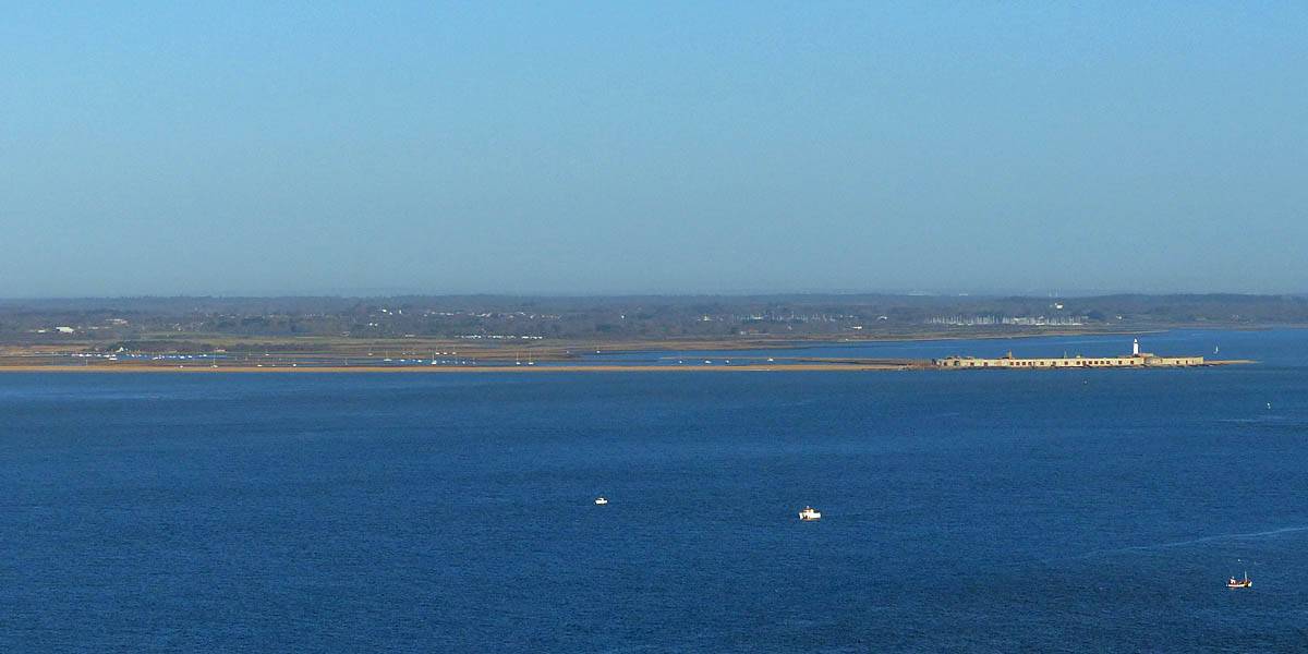
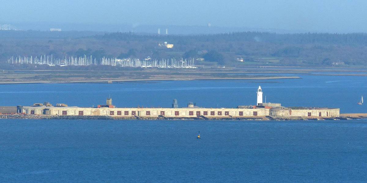
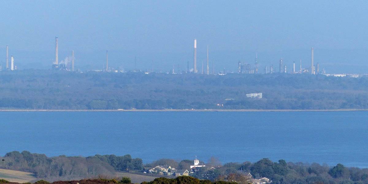
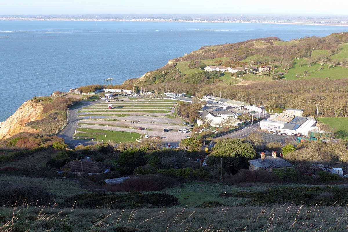
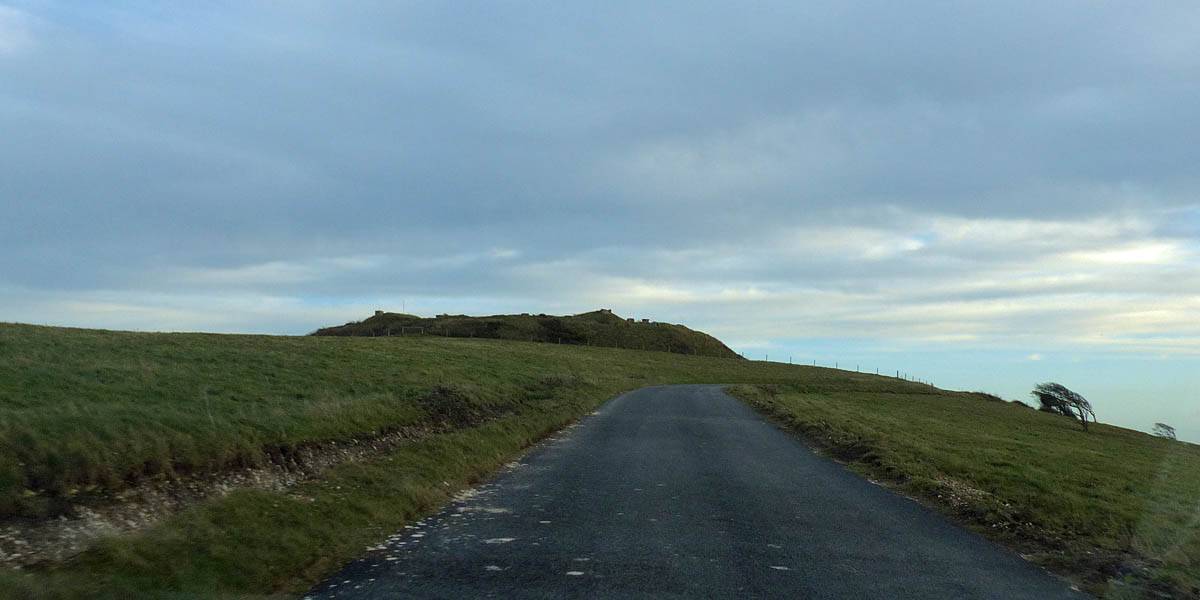
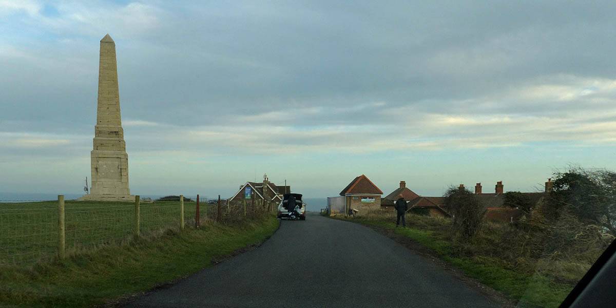
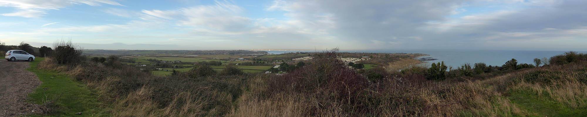
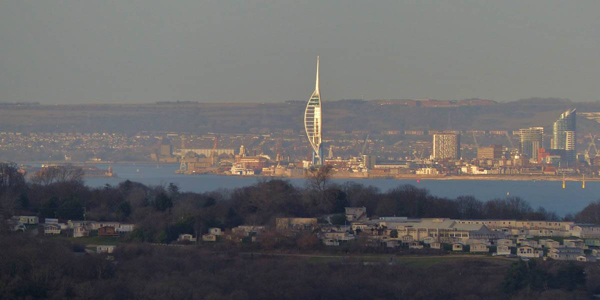
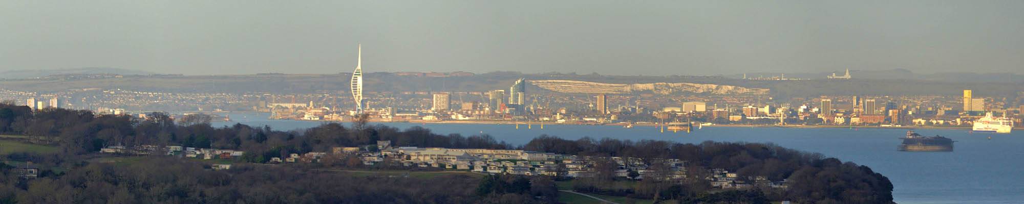
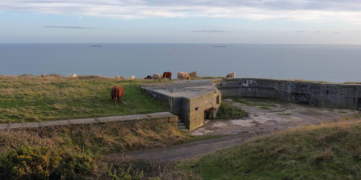
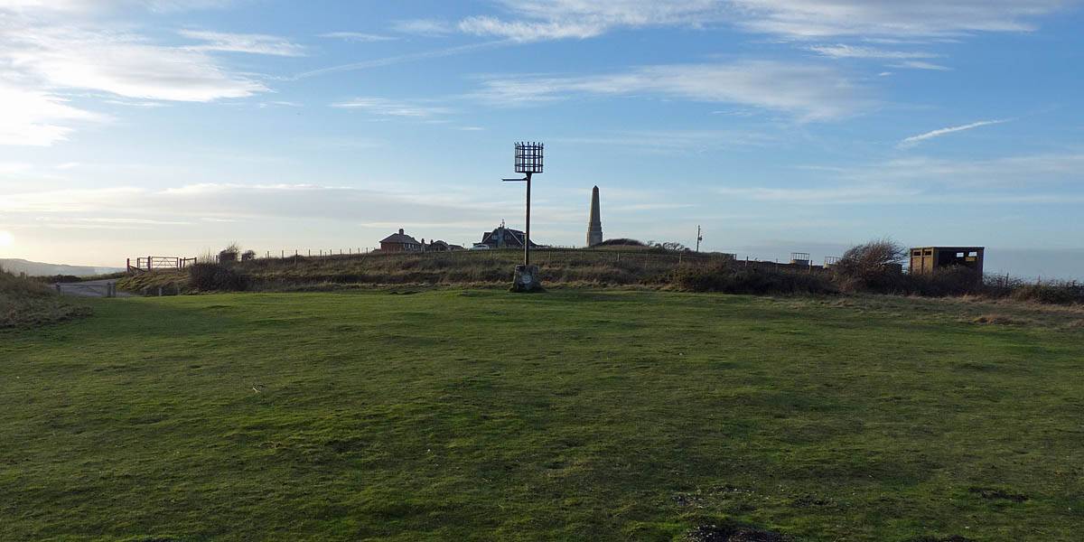
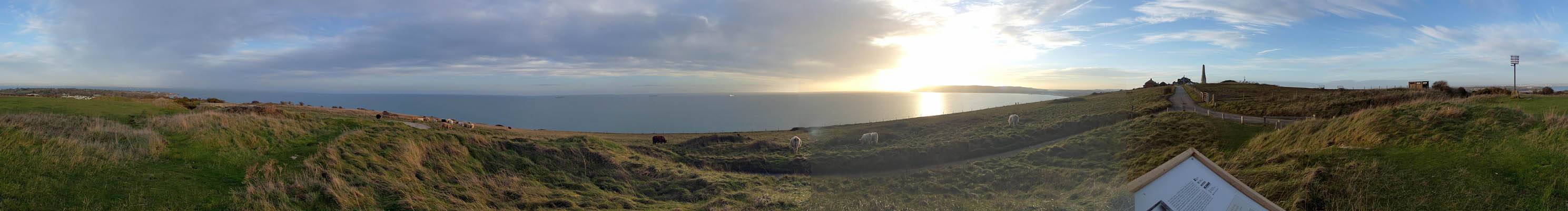
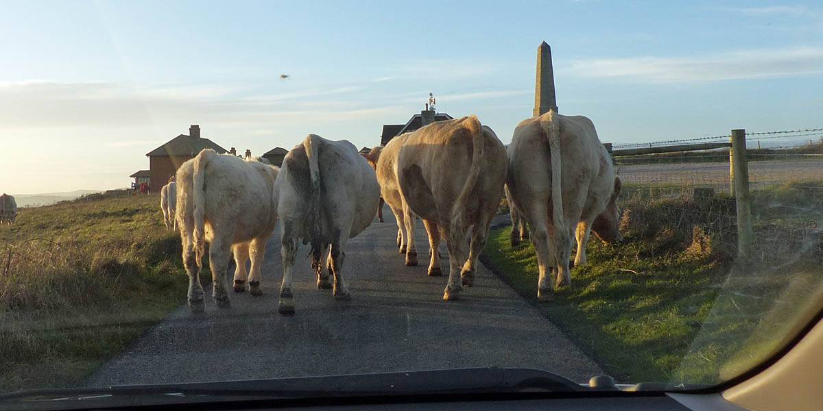
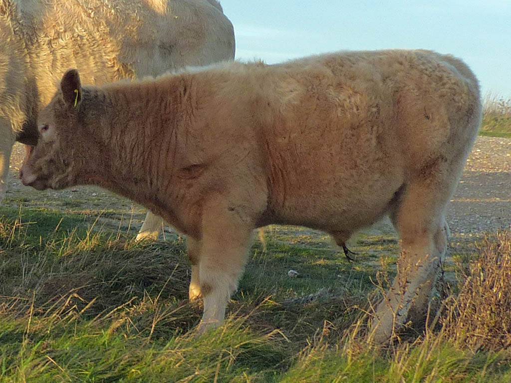
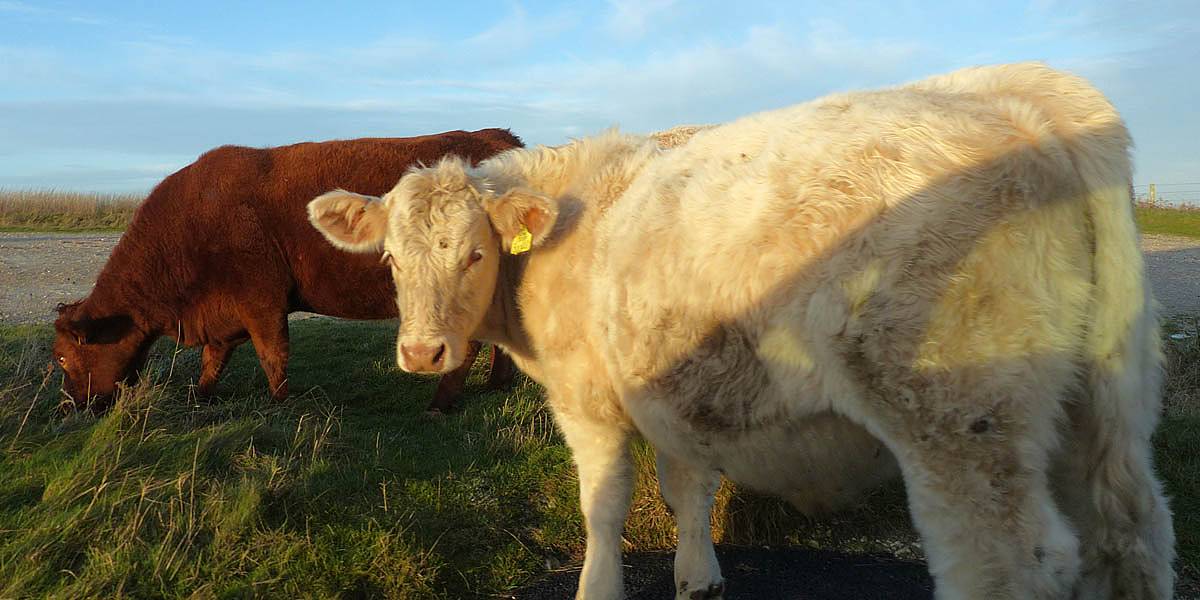
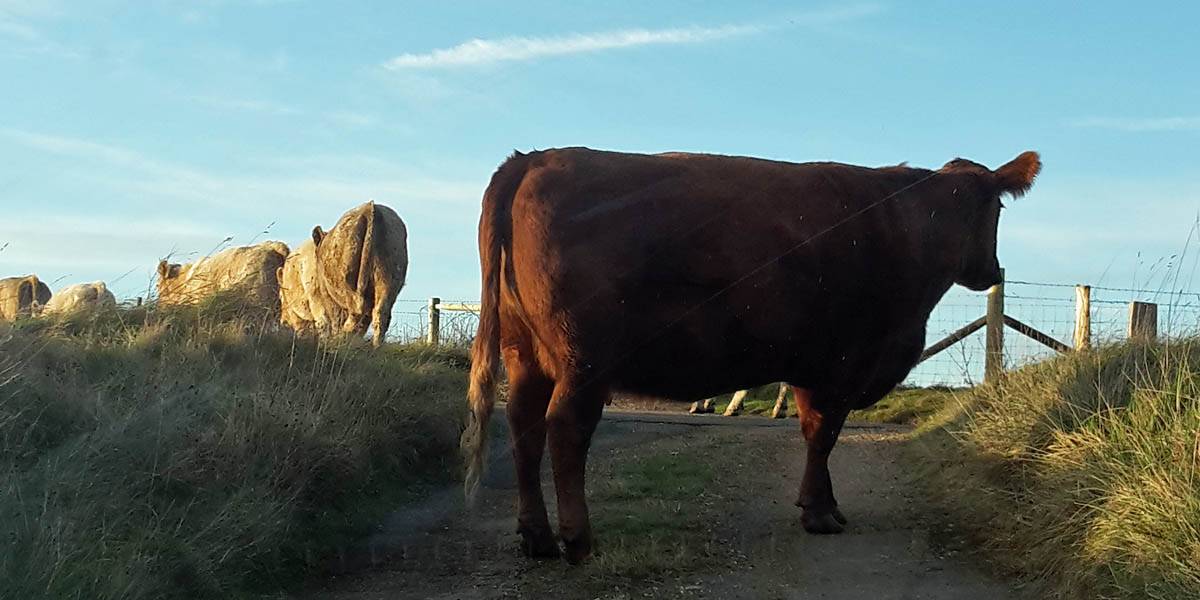
We decided we had just enough daylight for one more stop before returning to the hotel. Heading Northeastwards we headed to Culver Down. Off Sandown Road a narrow Culver Down Road took us steeply up to the top of the down. After passing a small village at the top we parked up at Culver Down Battery. I had a quick look around minding the nearby cows that were grazing freely up here. The low sun made for gorgeous lighting now. The Spinnaker Tower and Portsmouth were clearly visible unlike yesterday when they were shrouded in haze. After a short while we left, but encountered traffic on the way out in the form of cows parking themselves on the road for a while. Both we and a car behind were stuck but unlike a normal traffic jam we all had grins on our faces and cameras snapping. The cows let us move on after a short delay and we headed straight back to the hotel.
TODO: Captions coming soon.
 P1290243.jpg |
 P1290245.jpg |
 P1290259.jpg |
 P1290265.jpg |
 P1290266.jpg |
 P1290267_268_Panorama.jpg |
| . | |||||
 P1290270_273_Panorama.jpg |
 P1290275.jpg |
 P1290276_281_Panorama.jpg |
 P1290282.jpg |
 P1290283.jpg |
| . | ||||
 P1290285_293_360Panorama.jpg |
 P1290294.jpg |
 P1290295_299_Panorama.jpg |
 P1290312.jpg |
| . | |||
 P1290324.jpg |
 P1290329.jpg |
 P1290330.jpg |
 P1290331.jpg |
 20161222_151711.jpg |
| . |
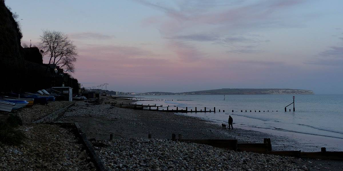
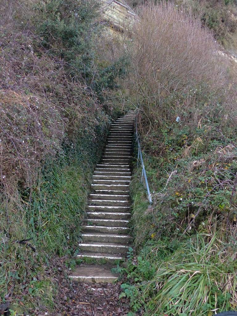
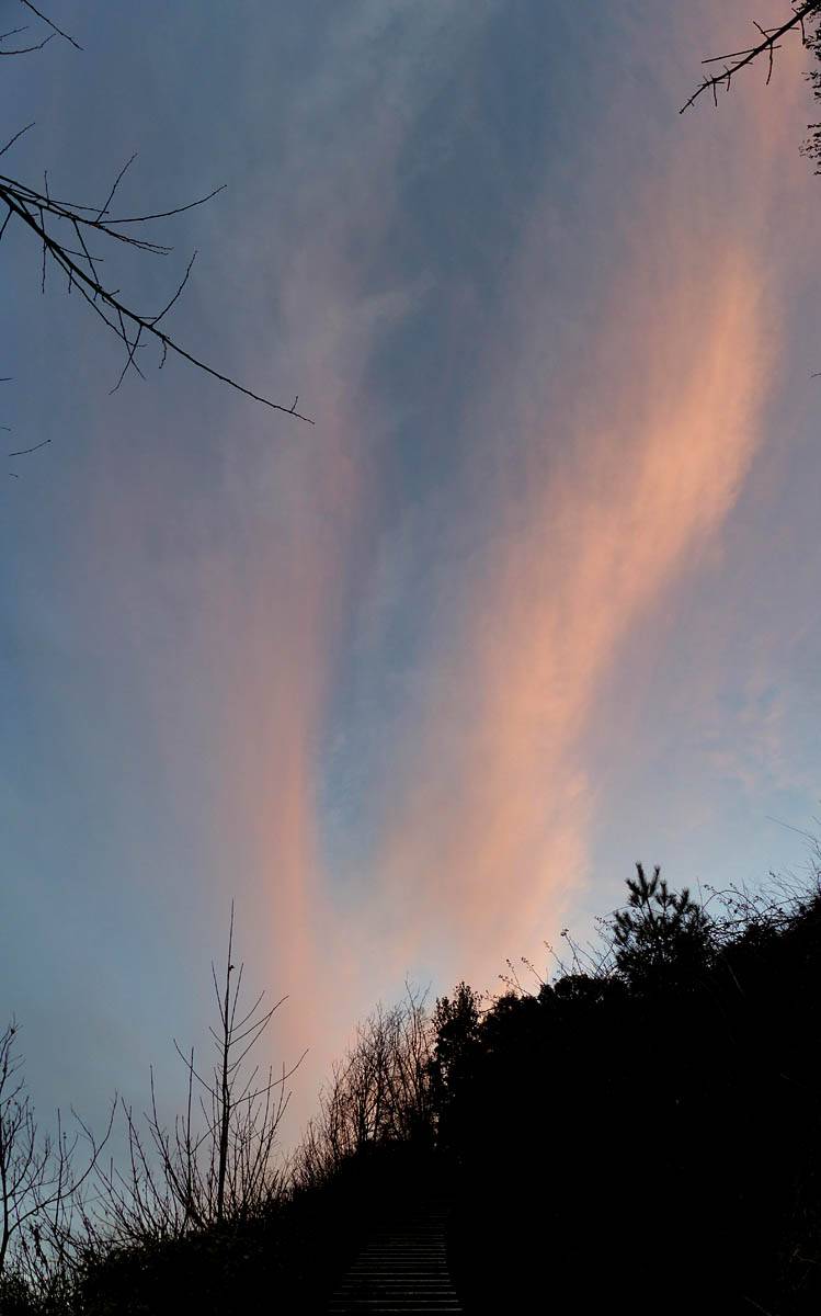
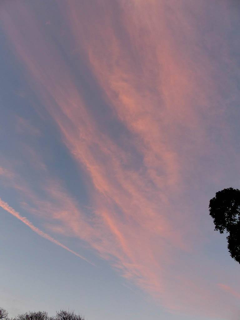
Back at the hotel there was still a bit of daylight. Renée decided to have a rest so I walked solo through the hotel grounds and out past a little café to the steps that went down the cliff just North of the hotel. Down below as golden hour turned into sunset was a nice rocky beach. I explored Southwards a bit away from the beach huts and Shanklin to the North. A friendly couple had a fire going and Christmas lights curiously. After a short distance I couldn't go any further as it became sheer cliffs descending into the sea. So I backtracked and enjoyed the sunset as I climbed back up the steps and back to the hotel to rest with Renée and look at pictures.
 P1290333.jpg |
 P1290334_336_Panorama.jpg |
 P1290338_339_Panorama.jpg |
 P1290342.jpg |
 P1290343.jpg |
 P1290344.jpg |
| . | |||||
 P1290348.jpg |
 P1290360.jpg |
 P1290361_365_Panorama.jpg |
 P1290367.jpg |
 P1290369_370_Panorama.jpg |
 P1290386.jpg |
| . | |||||
 P1290388.jpg |
 P1290395_397_VPanorama.jpg |
 P1290398.jpg |
 P1290399_404_Panorama.jpg |
| . |
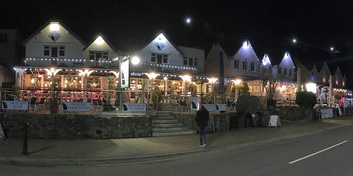
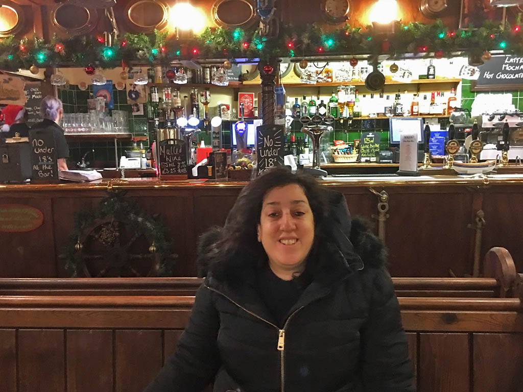
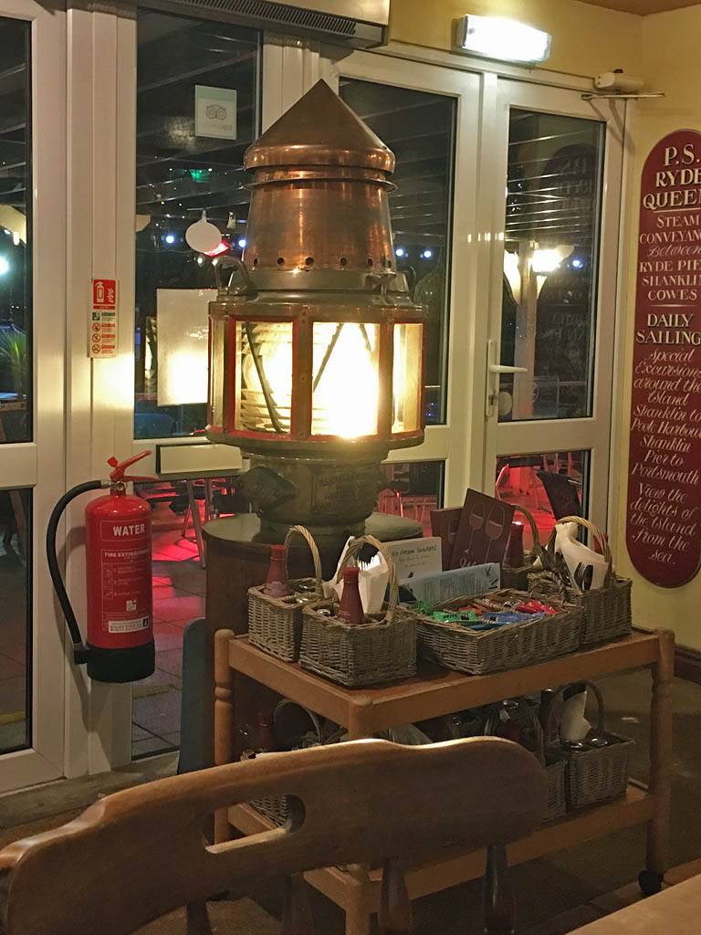
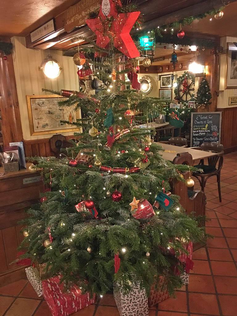
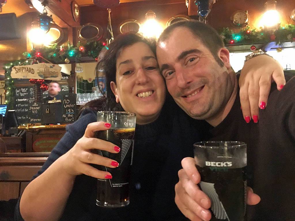
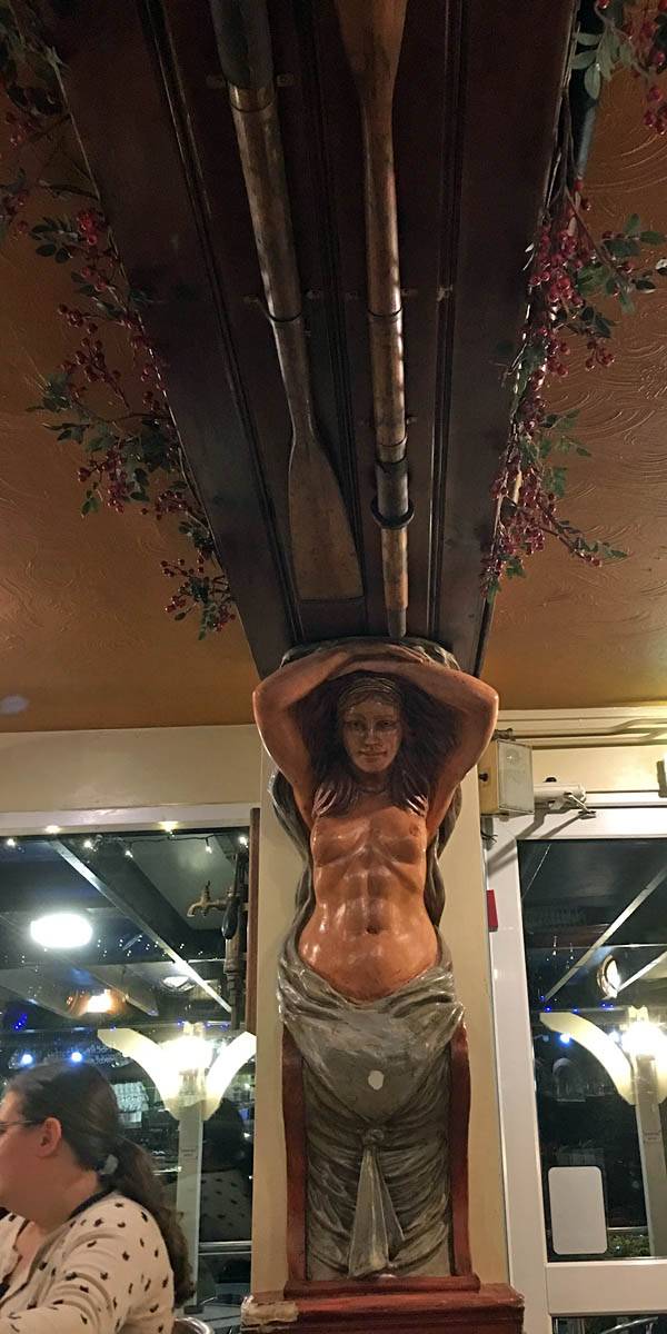
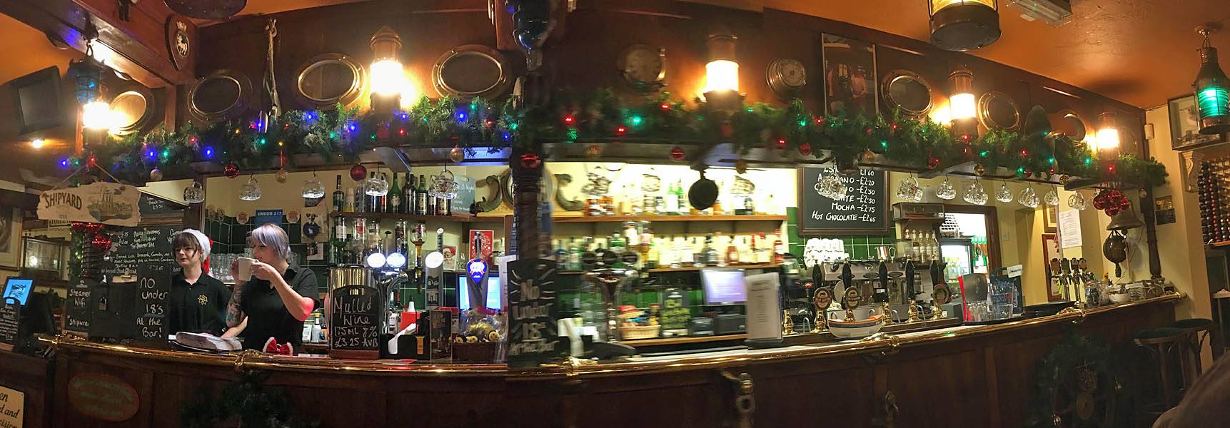
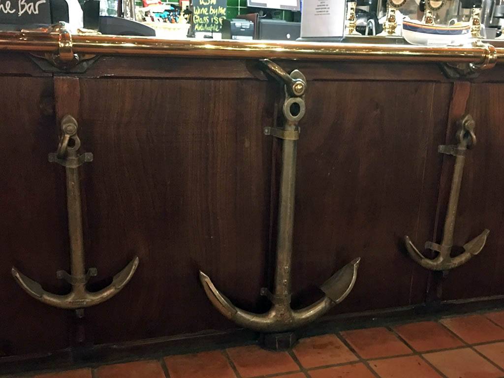
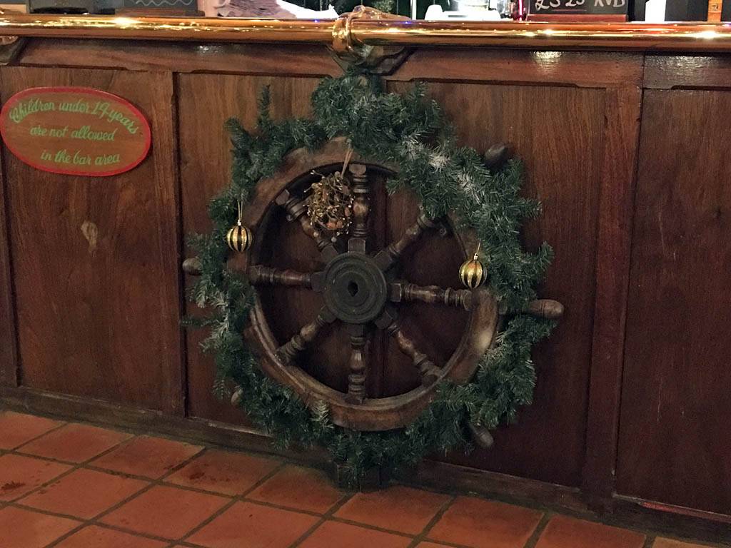
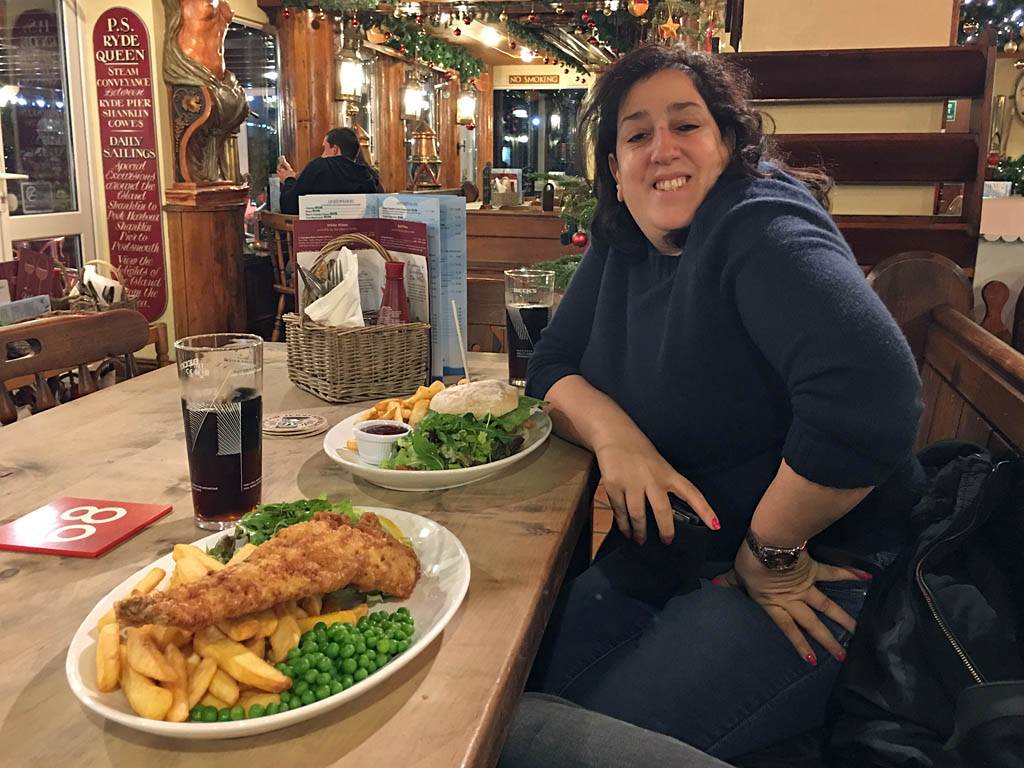
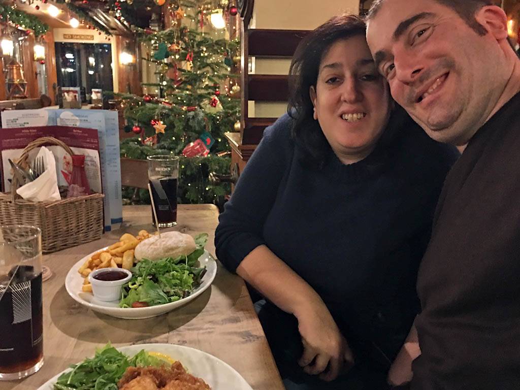
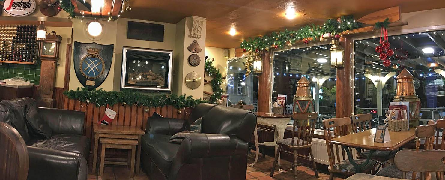
We left at 5:45PM for Shanklin Esplanade where we went to the Steamer Inn. It was suggested this was the place to go for the best Fish n Chips in Shanklin so we thought we'd test that out. We were not disappointed as it was a lovely meal in a pretty and atmospheric pub full of nautical ornaments and fixtures. We left at 7PM just as it started to rain as a shower moved in.
 IMG_4116_4117_Panorama.jpg |
 IMG_4119.jpg |
 IMG_4121.jpg |
 IMG_4122.jpg |
 IMG_4124.jpg |
| . | ||||
 IMG_4125.jpg |
 IMG_4126_4128_Panorama.jpg |
 IMG_4129.jpg |
 IMG_4131.jpg |
| . | |||
 IMG_4134.jpg |
 IMG_4135.jpg |
 IMG_4136_4137_Panorama.jpg |
 IMG_4139.jpg |
| . |
10 minutes later we were back inside. After a pause in the lounge we went back to room to watch TV and rest off the dinner. Another early night beckoned by 10PM.
Click here to go back to Isle of Wight 2016 Day 1.
Click here to go forward to Isle of Wight 2016 Day 3.