P1040111.jpg
P1040112.jpg
P1040119.jpg
P1040133.jpg
Day 0: Saturday 31st May 2014.
Day 1: Sunday 1st June 2014.
Day 2: Monday 2nd June 2014.
Day 3: Tuesday 3rd June 2014.
Day 4: Wednesday 4th June 2014.
Day 5: Thursday 5th June 2014.
Day 6: Friday 6th June 2014.
Day 7: Saturday 7th June 2014.
Click here to return to the General 2014 Pictures page.
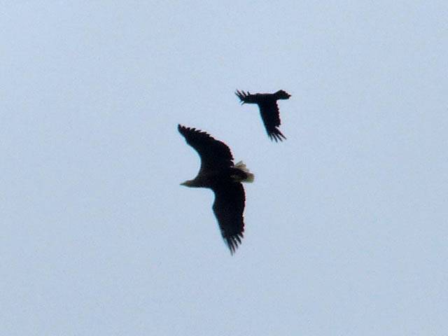
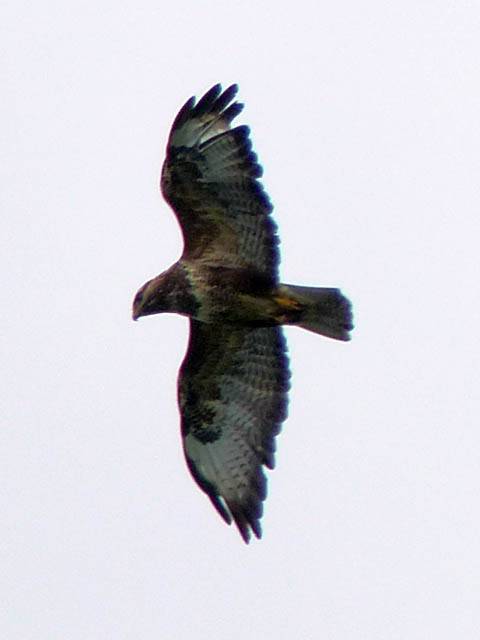
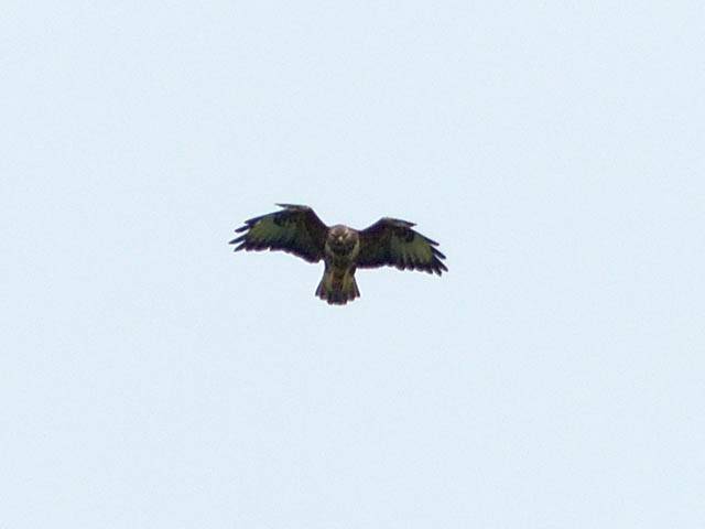
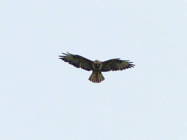
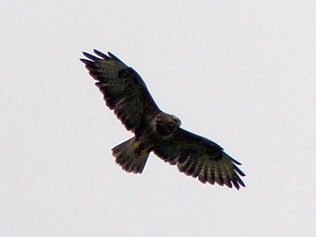
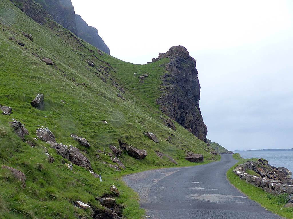
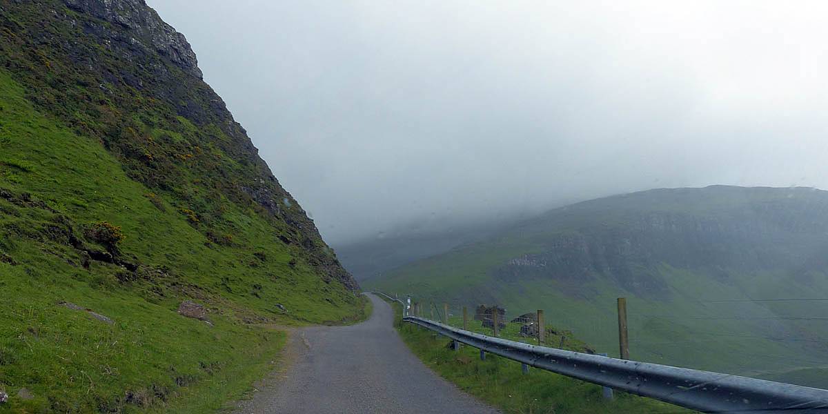
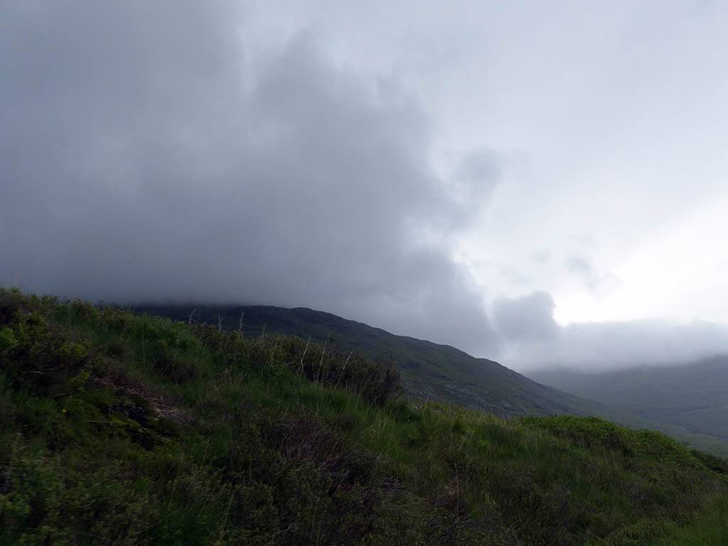
Today Jack took me on a tour of most of the isle. First we went round the North side before looping round to the South in an anticlockwise motion. The stars of the day were the eagles (Golden and White Tailed / Sea) which more than made up for the grey and damp weather. They are huge. Ravens are pretty big but the ones mobbing the eagles looked tiny next to them.
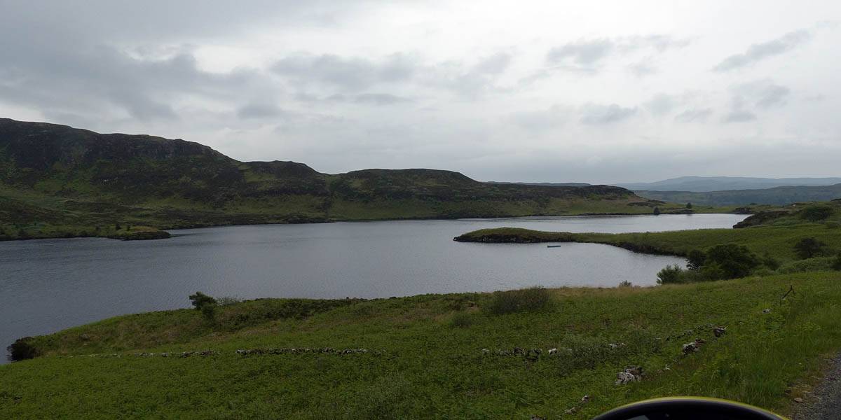
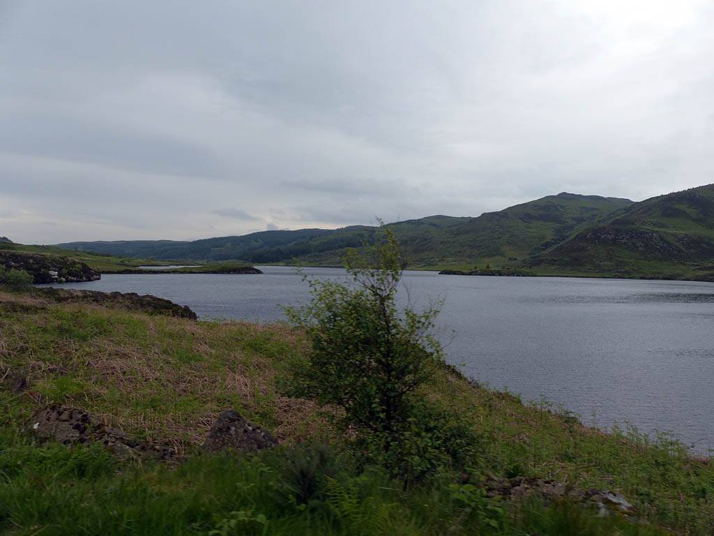
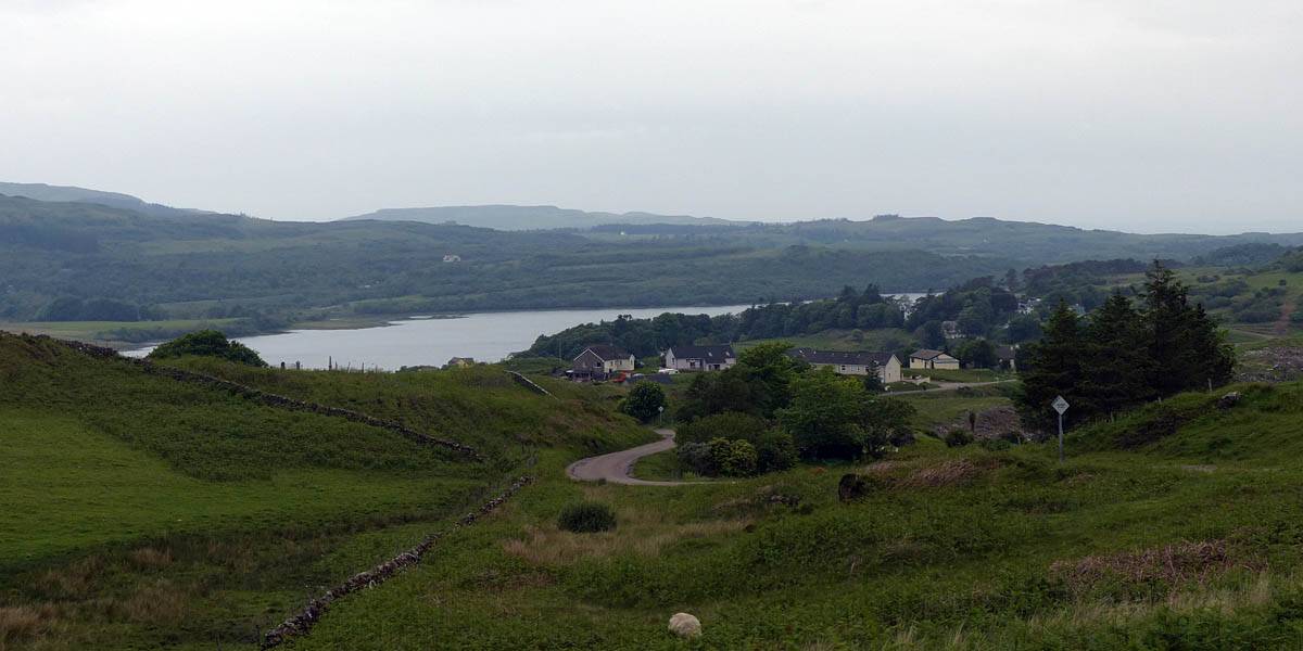
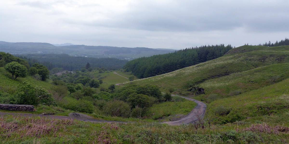
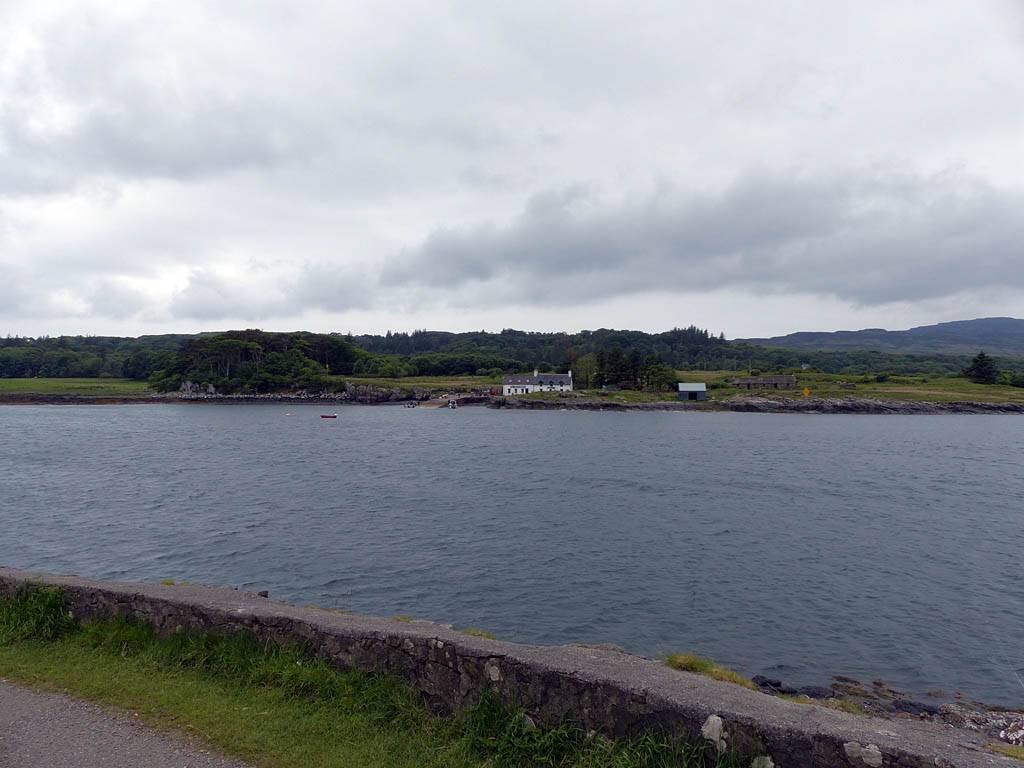
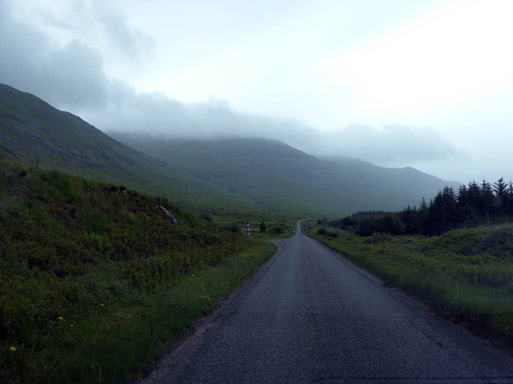
The first section of the drive took us Southwest from Tobermory along the B882 and B8073, following the Tobermory river upstream and a string of Lochs before passing over some hills and down to Dervaig.
|
P1040111.jpg |
P1040112.jpg |
P1040119.jpg |
P1040133.jpg |
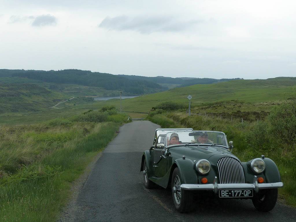
| Driving along the Mishnish Lochs (upstream of the Tobermory river) by the B8073 to Dervaig. | Passing a classic car and sheep on the way to Loch Torr. | ||
 P1040144.jpg |
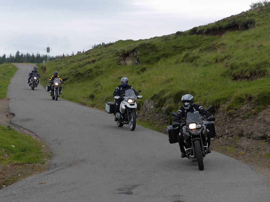
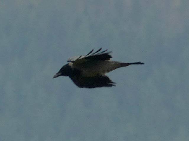 P1040155.jpg |
 P1040159.jpg |
 P1040162.jpg |
| Bikers enjoying the spactacular narrow roads of Mull. One of many groups seen today. | A raven flying past us on the hills above Dervaig. | Looking West down the hill from the Cairn Burial Grounds, to Dervaig and Loch Chumhainn. | |
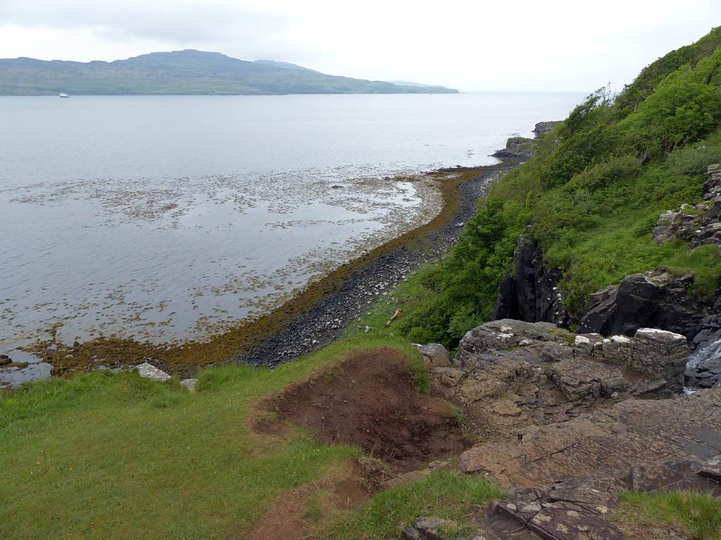
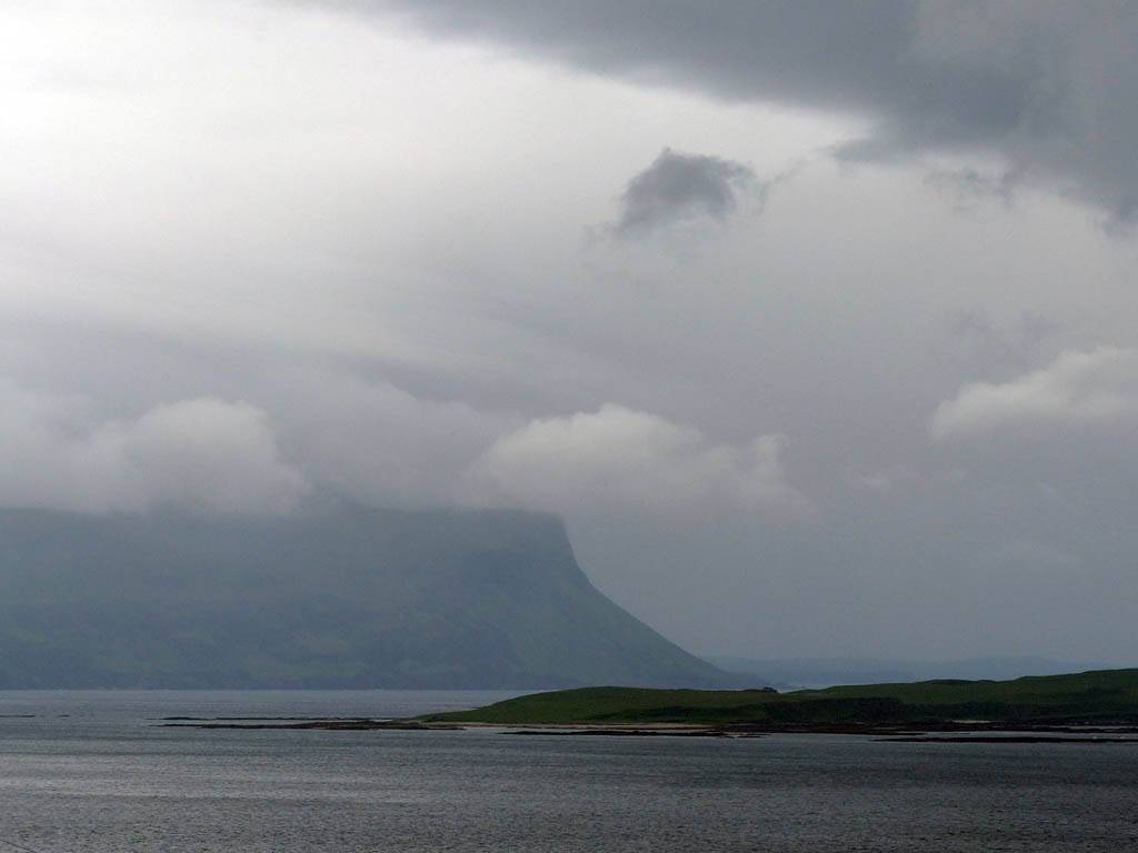
After Dervaig we turned off onto a minor road, cutting the Calgary Bay corner of the isle, and after passing some fairly wild terrain we rejoined the B8073, heading Southeast along the shore of Loch Tuath to Ballygown, where 'Lucy's House'is. It contains an enchanting garden with plants for sale on an honesty system. I followed the garden path round to the hill above the back of the house, where a spactacular view across Loch Tuath was seen.
 P1040173.jpg |
 P1040194.jpg |
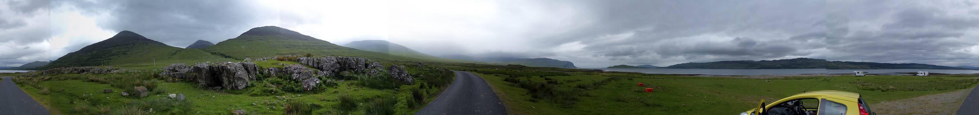
 P1040199.jpg |
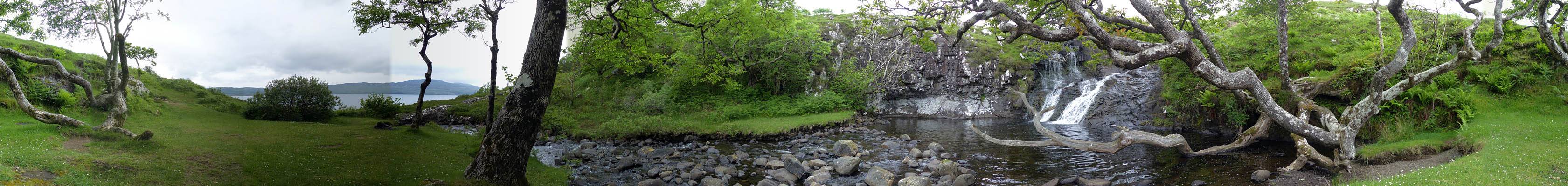
 P1040212_216_Panorama.jpg |
| Exploring the minor road that cut the Northwest corner of Mull. | A hazy long range view of the Sound of Ulva from the North as we approach Loch Tuath. | Dropping down through the woods to Loch Ulva to rejoin the B8073. | Loch Tuath panorama with Ulva visible in the background. |
 P1040231_235_Panorama.jpg |
 P1040241.jpg |
| Lucy's House at Ballygown and the panoramic view of Loch Tuath from the path on the hill above. | |
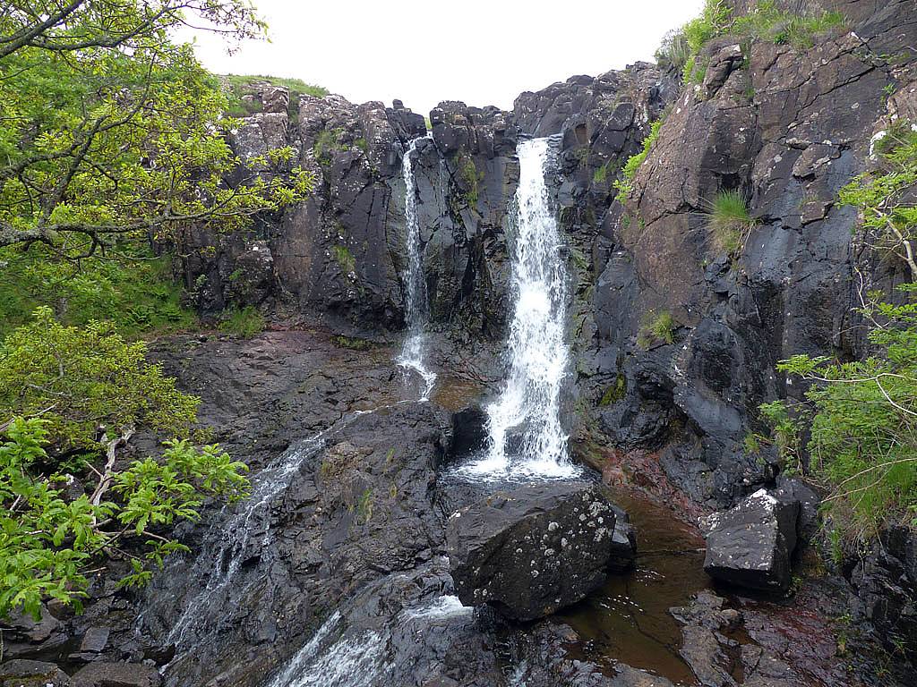
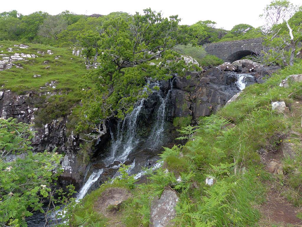
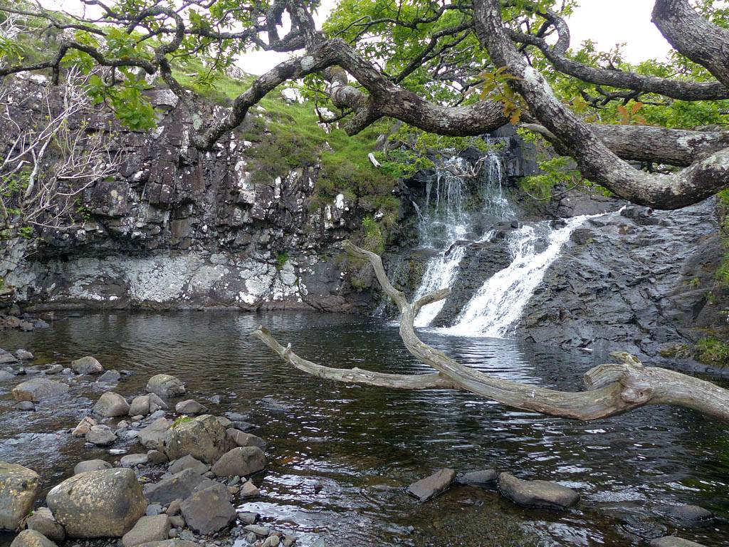
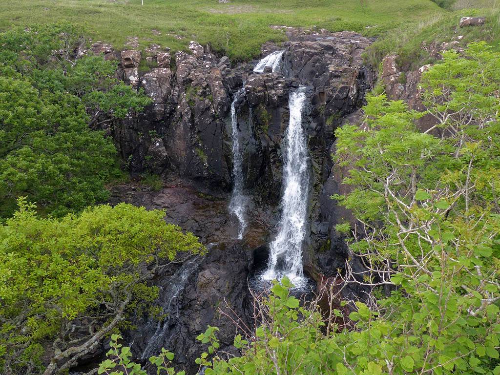
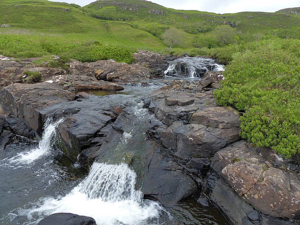
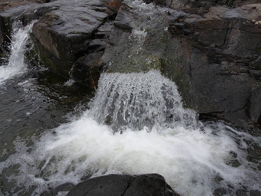
Just a short drive along the road from Ballygown was Eas Fors waterfalls. These were quite spactacular as they cascaded over large granite slabs before dropping over a large cliff to the sea.
 P1040247.jpg |
 P1040262.jpg |
 P1040274.jpg |
 P1040275.jpg |
 P1040276.jpg |
 P1040278.jpg |
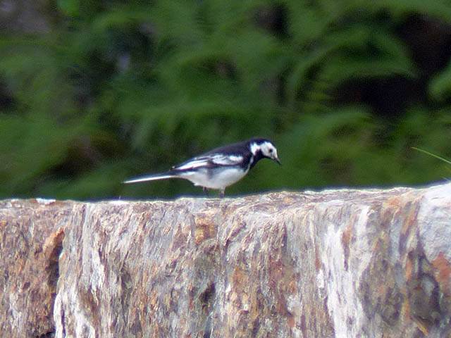
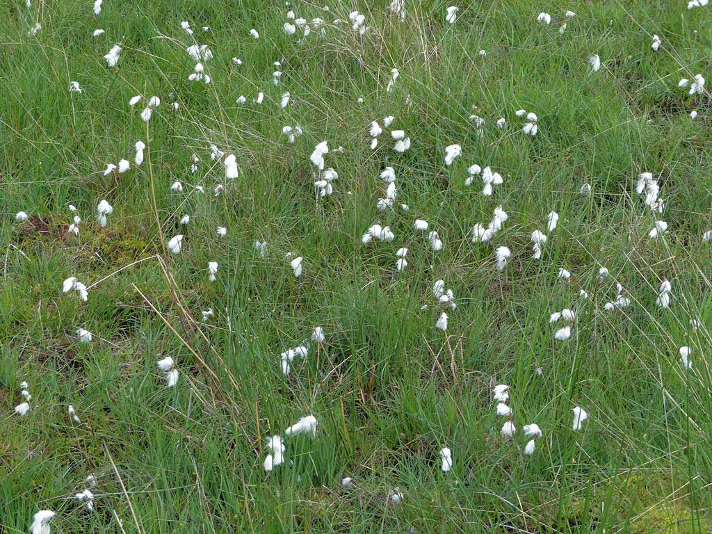
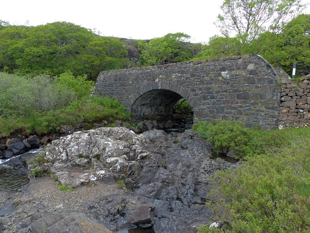
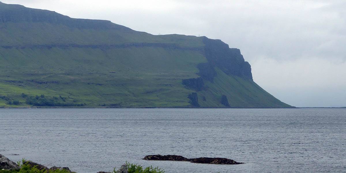
| The waterfall immediately upstream of the road. | Looking South across Loch Tuath to Ulva and the mountains around Ardmeanach (Central part of Mull). To the left of the view the mountains get bigger, culminating in Ben More, Mull's only Munro. | A Pied Wagtail on the wall of the bridge over the river. | Bog cotton, or cotton grass. Found in soggy places. | The road bridge from just downstream. | The river downstream of the road. |
 P1040280.jpg |
 P1040282_290_360Panorama.jpg |
 P1040291.jpg |
 P1040293.jpg |
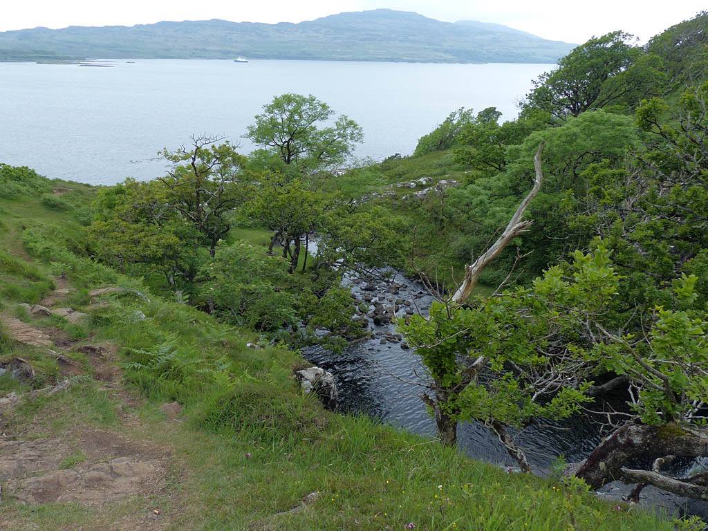
| Exploring downstream of the road as the water cascades towards the sea. | Reaching the final cliff above the sea. | ||
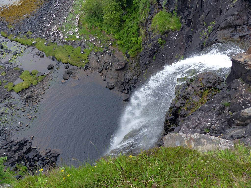 P1040294.jpg |
 P1040299.jpg |
 P1040306.jpg |
 P1040309.jpg |
 P1040312.jpg |
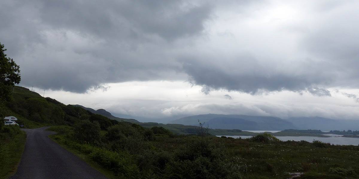
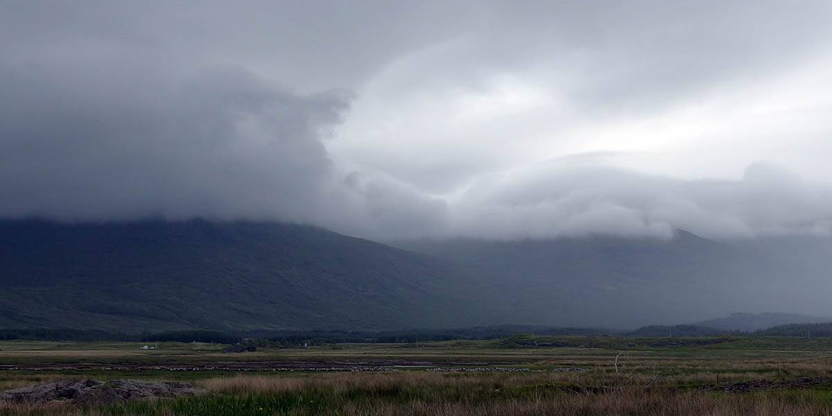
| The final huge waterfall as it cascades down to the sea. | Exploring above the waterfall upstream of the road. | To the South there appeared to be some mountain wave action as was evident with this stationary edge of cloud and a wave gap beyond with clearer air. | ||
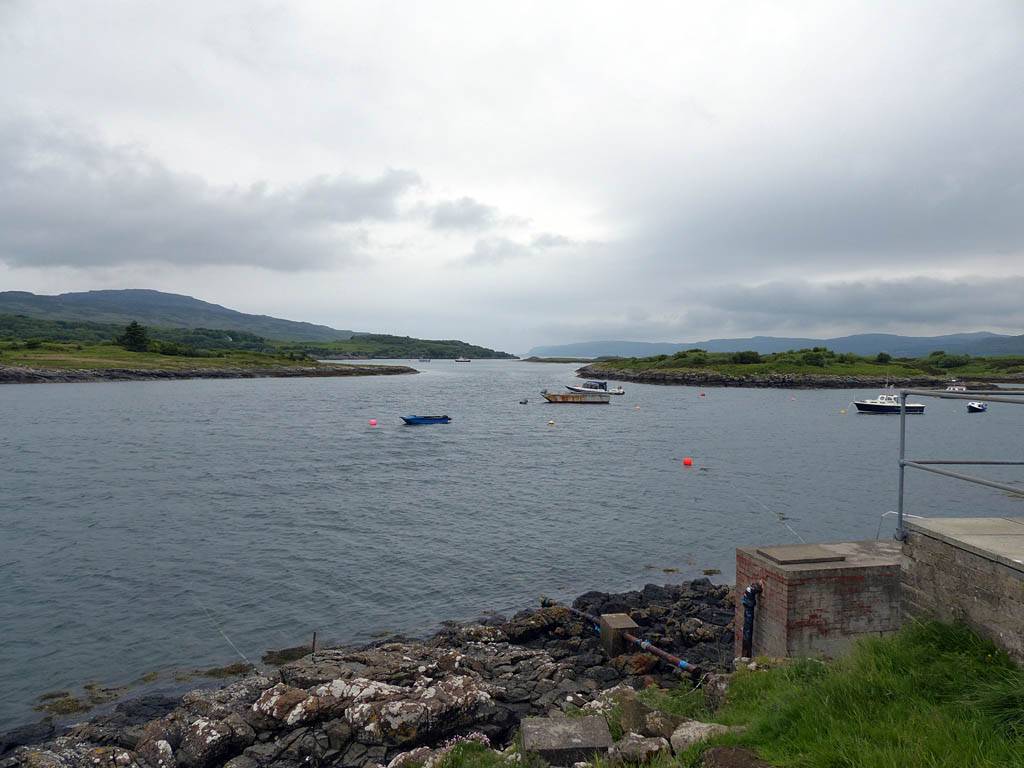
Another short drive further along the road took us to Ulva Ferry, where a small boat was operating on demand to take people to and from Ulva.
 P1040341.jpg |
 P1040342.jpg |
 P1040344.jpg |
| Looking around at the Sound of Ulva. The ferry is the small boat currently on the other side. | ||
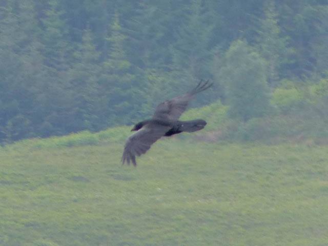
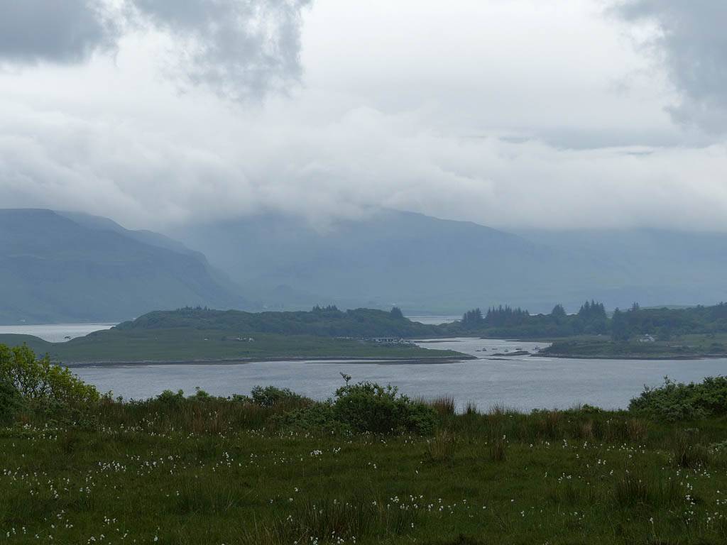
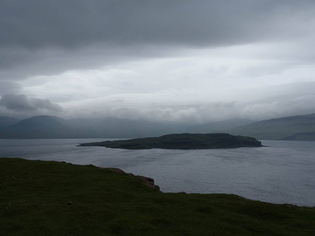
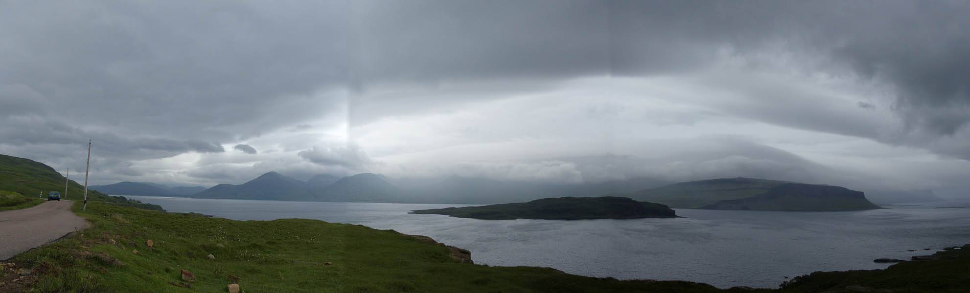
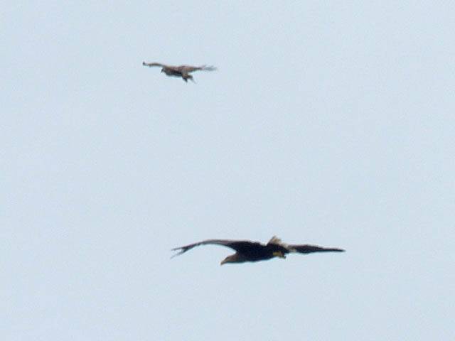
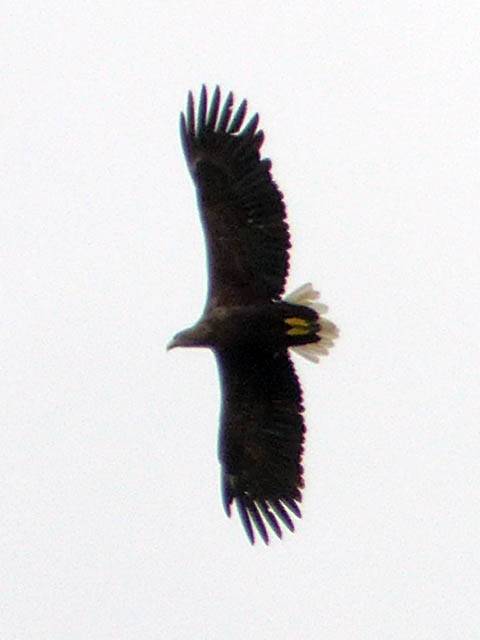
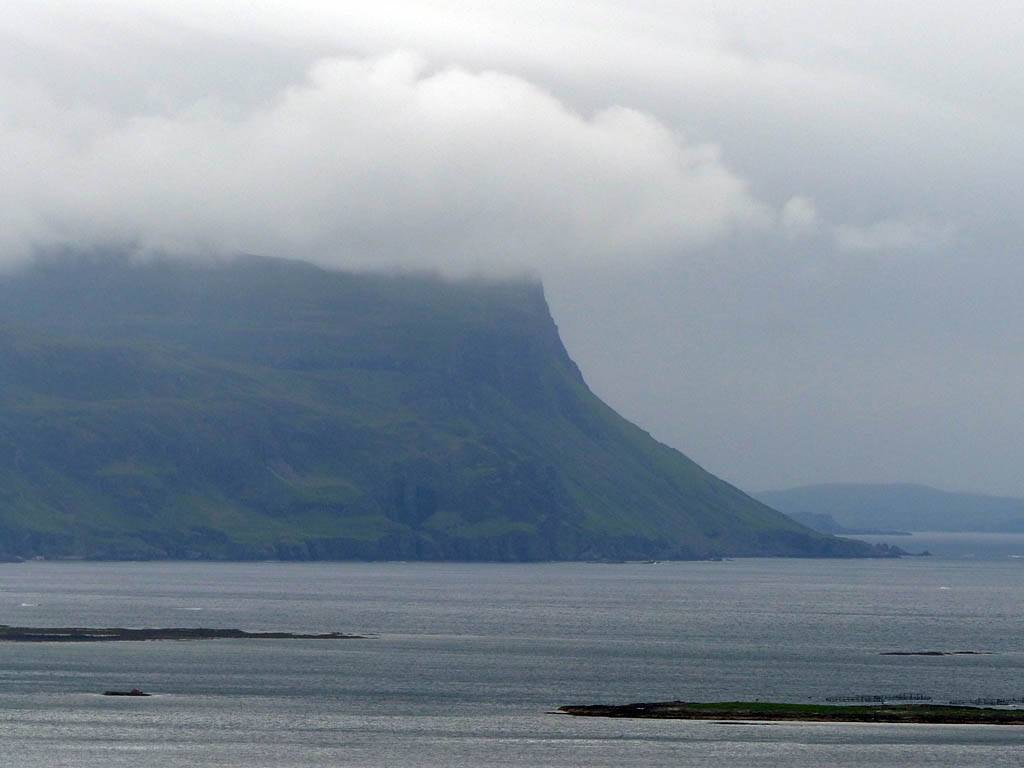
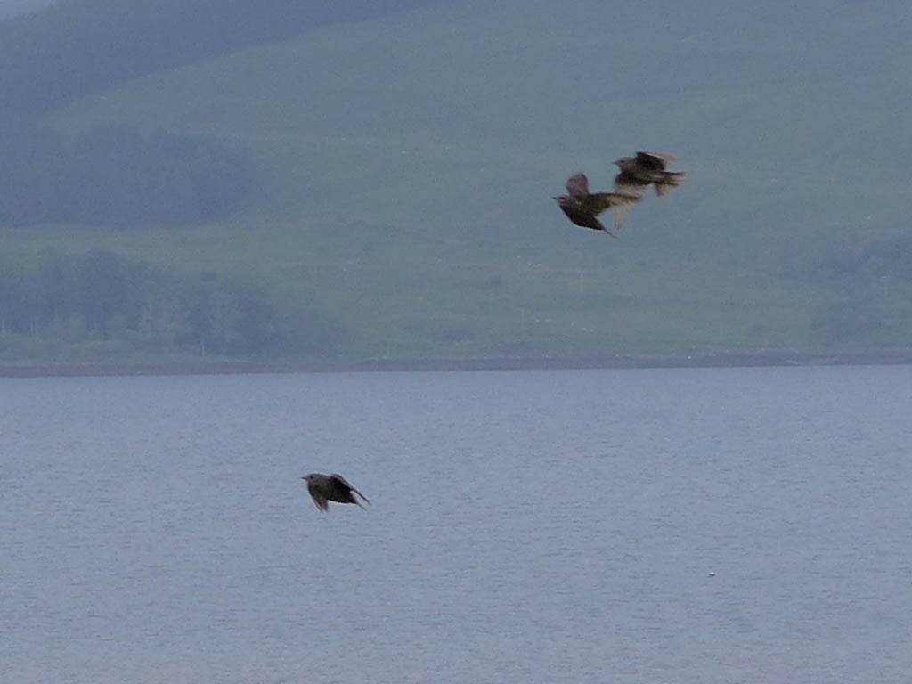
From Ulva Ferry we carried on Eastwards along the North side of Loch Na Keal. The cloudscapes, sculpted by the hills and mountains, continued to look epic. Somewhere to the North side of Eorsa island we spotted birds of prey soaring above us. Indeed both Golden and White Tailed Sea Eagles were present. The White Tailed Eagle was quite low and being mobbed by ravens. They looked tiny in comparison. A bit further along we stopped again when Golden Eagles again appeared overhead. A Buzzard also made an appearance allowing a good comparison between the two similar looking birds. (+4/3s exposure compensation whited out the grey sky a bit but it was worth it to stop the birds from being silhouetted.) Vehicles coming the other way saw us looking up and also stopped to look. (Round here most people are into the birds. Not like in London where we'd have gotten strange looks no doubt!) There were also some large spectacular patches of bluebells too. Here they grow in the open (compared to under the trees down South) as there aren't so many trees here in most places.
 P1040345.jpg |
 P1040350.jpg |
 P1040357.jpg |
 P1040361_363_Panorama.jpg |
| Spectacular wave induced cloudscapes above Loch Na Keal. | Looking across to cliffs on the South side of Loch Na Keal. | Eorsa Island. | |
 P1040366.jpg |
 P1040391.jpg |
 P1040392.jpg |
 P1040394.jpg |
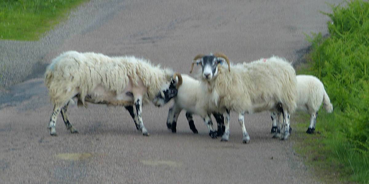 P1040395.jpg |
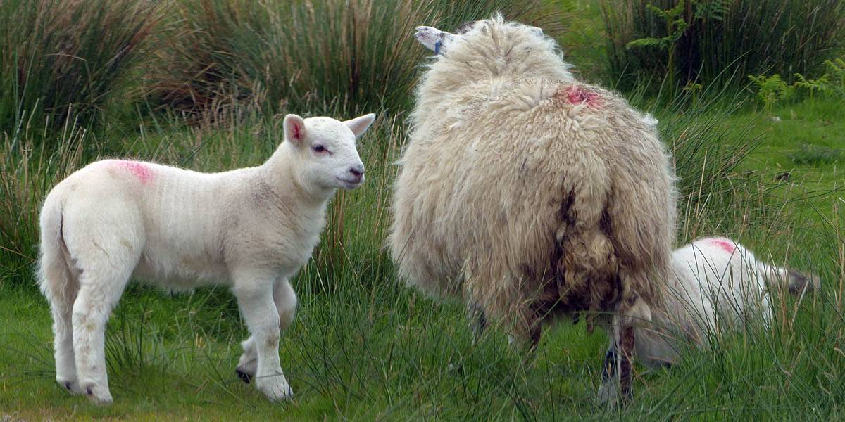
| White Tailed Eagle being mobbed by a Raven. | White Tailed Eagle. | Creag Mhor. The road eventually leads us right under this cliff. | An adult and a lamb having an argument in the road. | |
 P1040397.jpg |
 P1040412.jpg |
 P1040413.jpg |
 P1040425.jpg |
| Buzzard. | Golden Eagle almost hovering above us. See how it adjusts its wings to hone its position. | ||
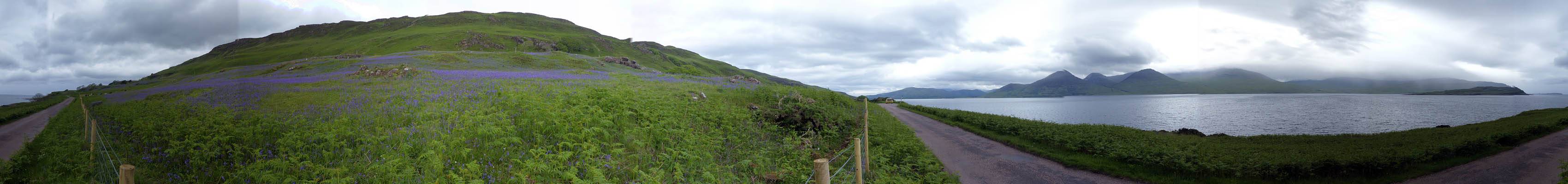 P1040441_450_360Panorama.jpg |
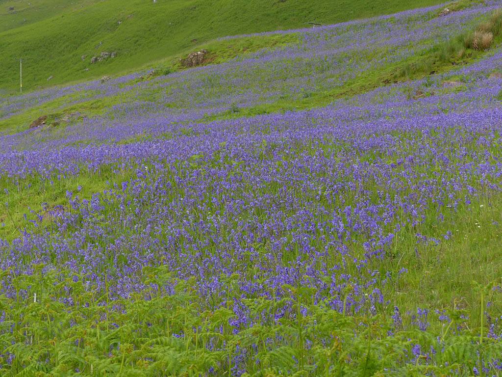 P1040452.jpg |
| Looking around at the bluebell patch. | Closer look at the bluebells. |
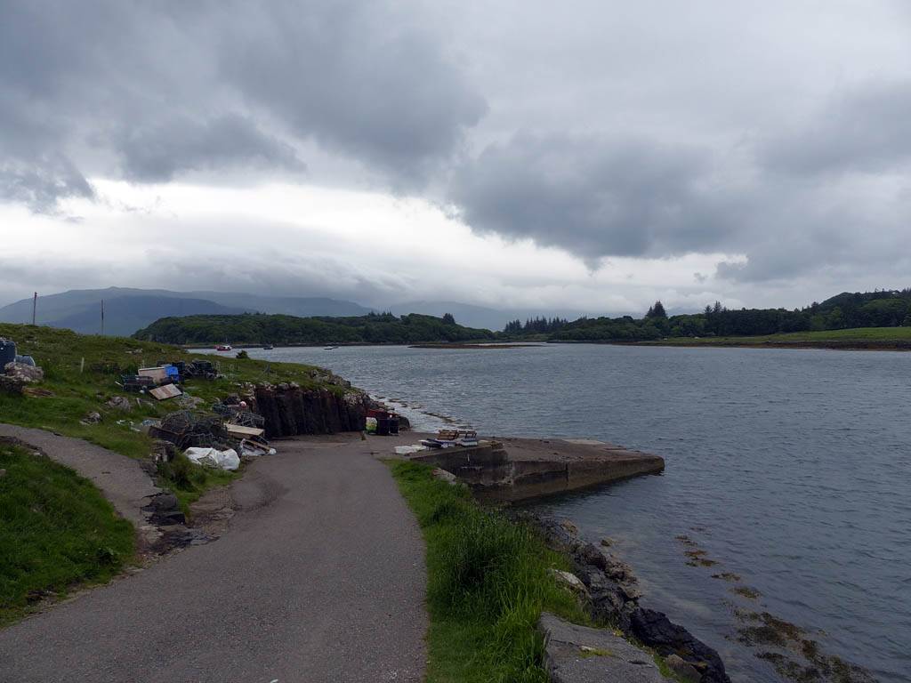
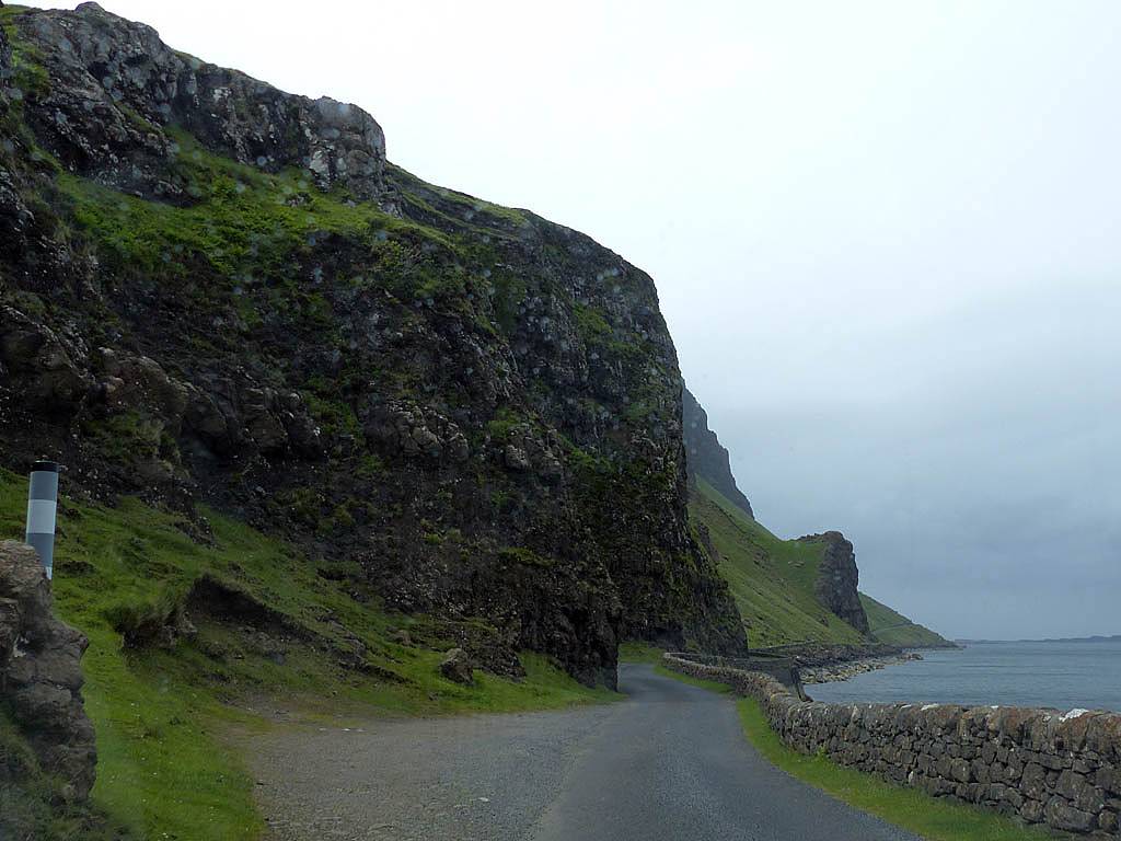
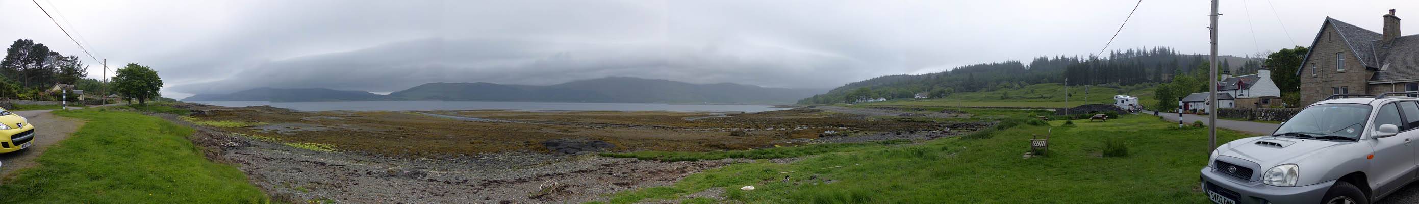
We carried on East along the B8073 to the end of Loch Na Keal, and turned right onto the B8035 which goes along the Southern side. This road took us past the North side of Ben More and under the cliffs of Creag Mhor which looked even more spectacular close up. The road then cut South over the hills inland (cutting off Ardmeanach)to Loch Scridain where we reached the A849. A short way West of here on the Southern side of the Loch was Pennyghael. We were hoping to stop for tea here but the target place was shut.
Note: Loch Na Keal almost splits Mull in two. If the ice age had lasted a bit longer then perhaps it might have.
 P1040467.jpg |
 P1040470.jpg |
 P1040471_480_360Panorama.jpg |
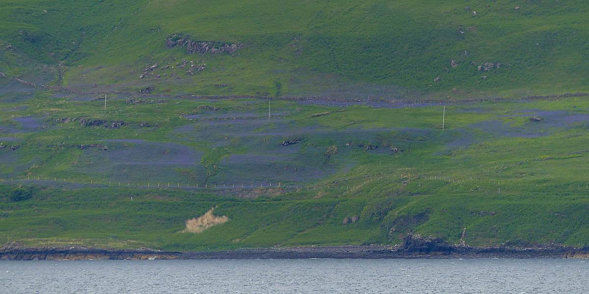
| The bluebell patch from the other side of Loch Na Keal. | The views from the South side of Loch Na Keal just East of Scarisdale Point. The three peaks visible in both pictures are Bheinn Ghraig, Bheinn nan Gabhar and Bheinn Fhada, all between 560 and 600 meters. Ben More is hidden behind these peaks to the right (the hazy mountain to the right of Bheinn Fhada is the Northern slope of Ben More, An Gearna. | |
 P1040482.jpg |
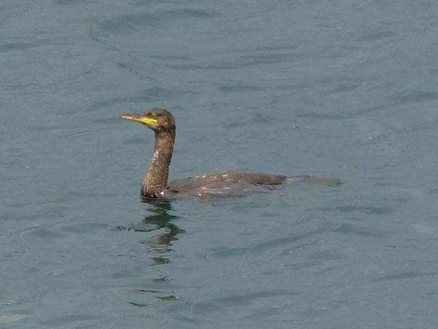 P1040490.jpg |
 P1040493.jpg |
 P1040499.jpg |
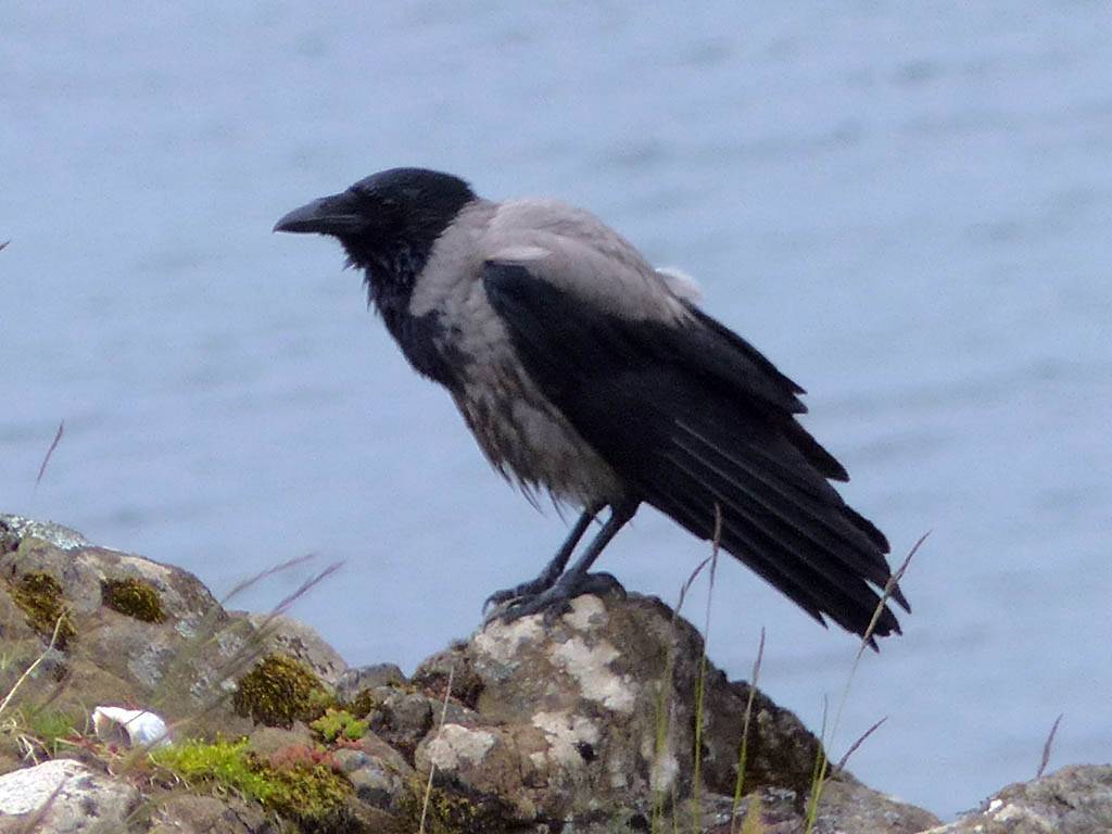
 P1040507.jpg |
 P1040527.jpg |
| Looking West to Creag Mhor ahead. | A cormorant in the water. | Driving under Creag Mhor. | Going over the hills from Loch Na Keal to Loch Scridain. This bit was probably under a cliff called Mhaol. | Hooded crow at Pennyghael. | |
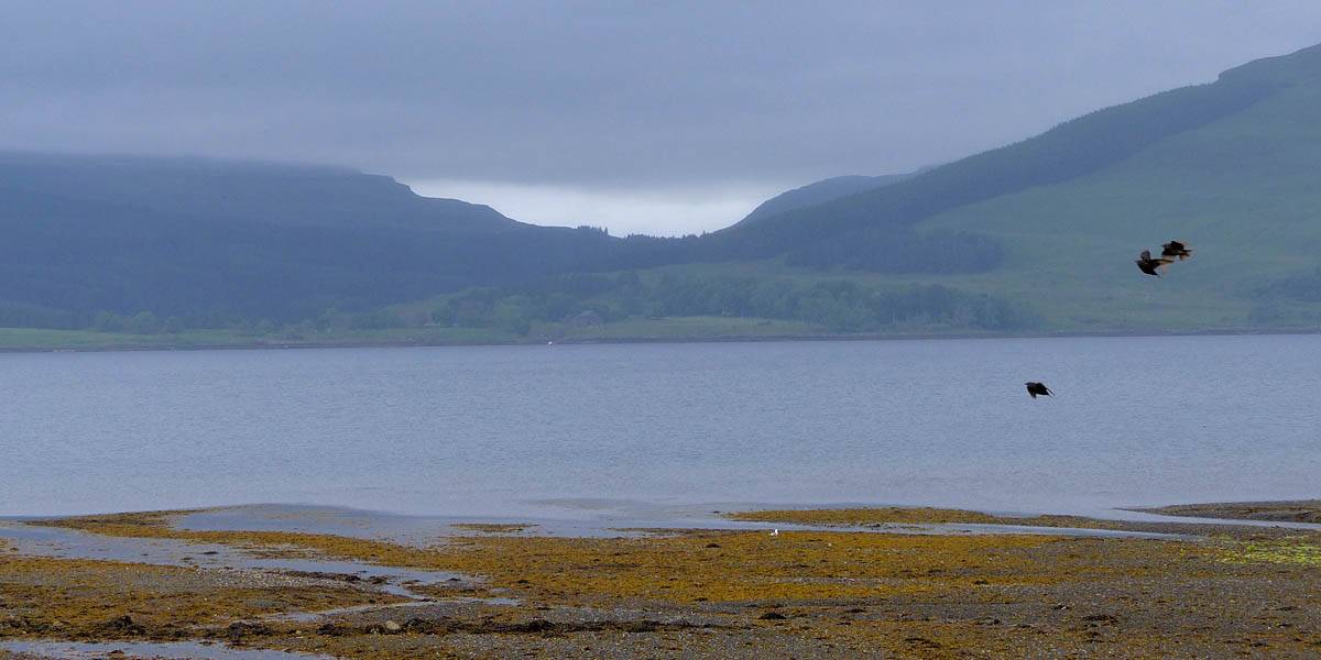 P1040532.jpg |
 P1040532_CroppedIn.jpg |
 P1040534_539_Panorama.jpg |
| Birds photobombing my view of the Glen through which the road dropped down to Loch Scridain between cloud capped peaks. | The view North at Pennyghael. | |
 P1040540.jpg |
 P1040546.jpg |
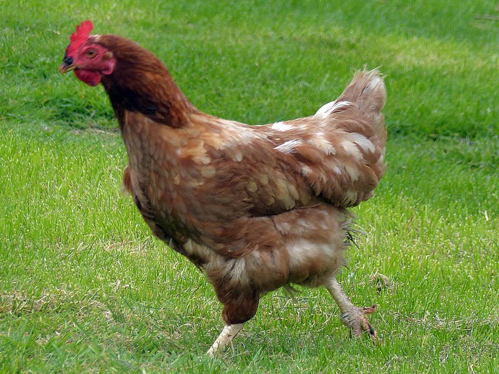
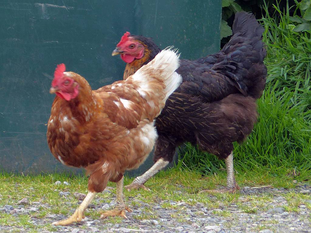 P1040550.jpg |
 P1040551.jpg |
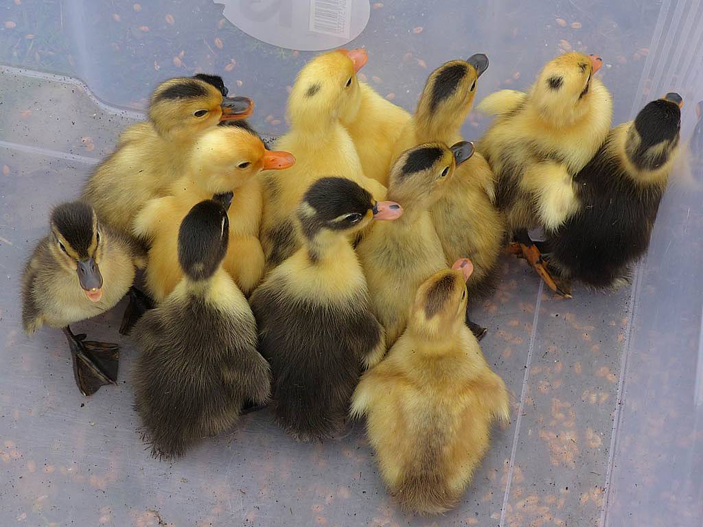
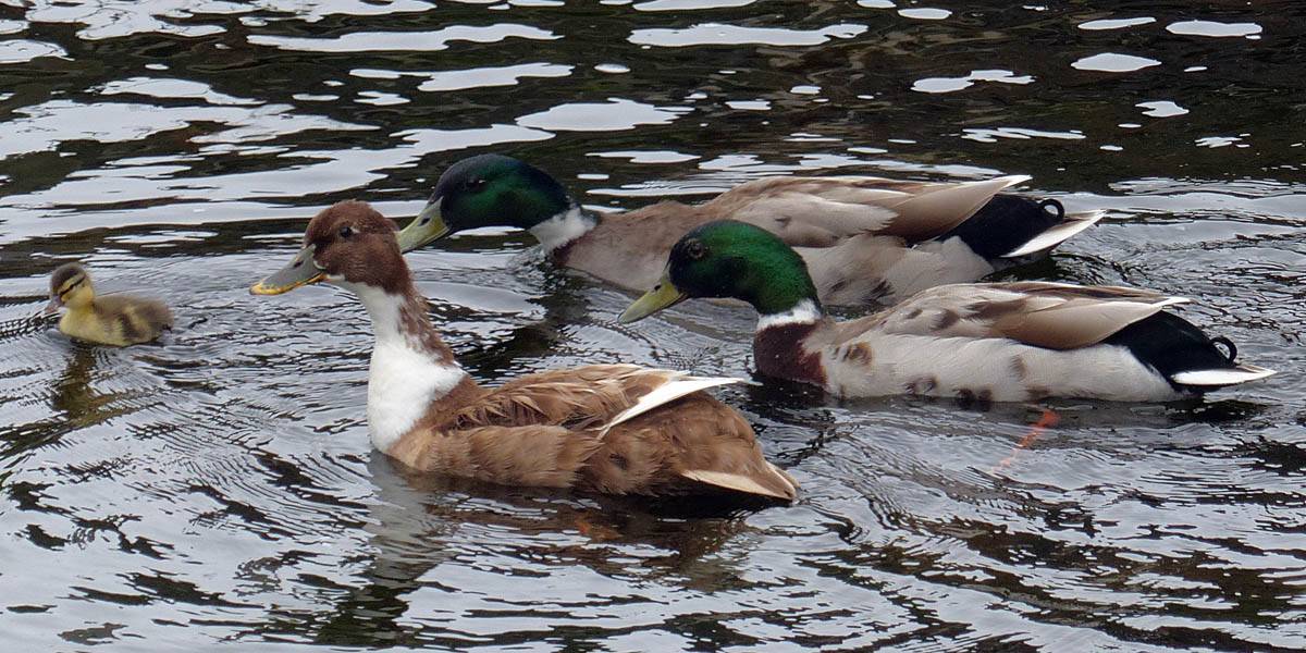
| Ducklings were being gathered by the locals. | The parents and one remaining duckling. | Chickens running around Pennyghael. | |
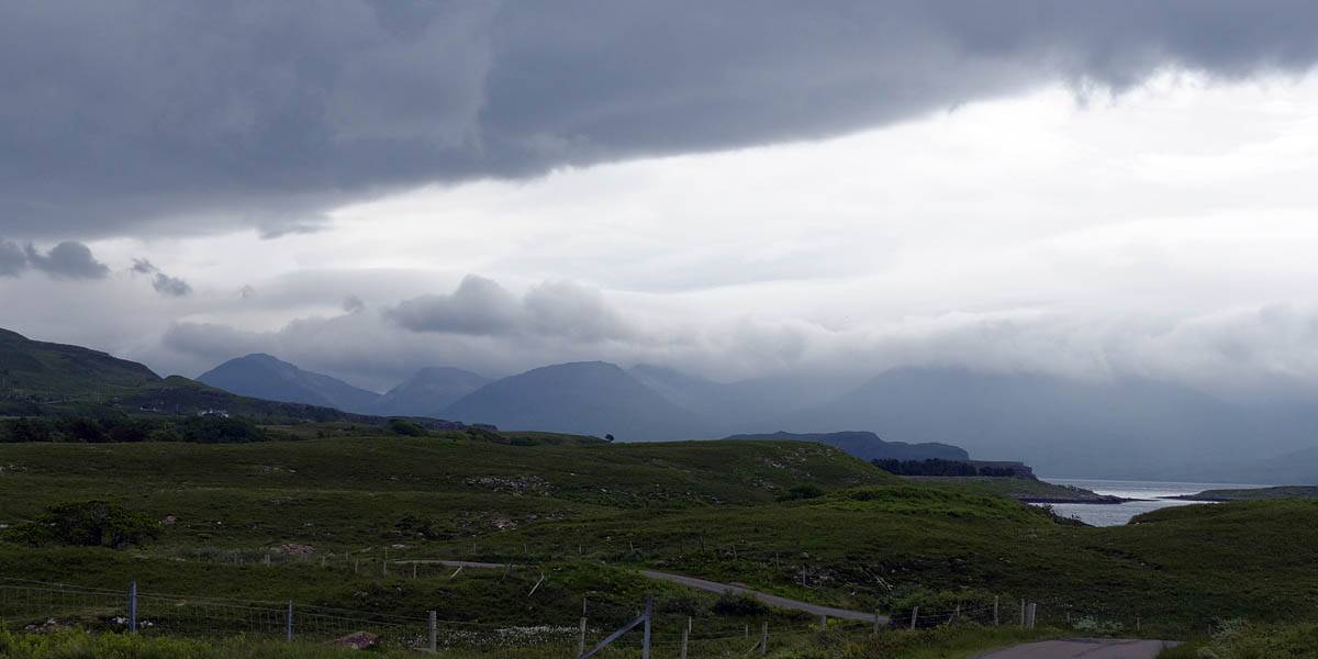
We backtracked East along the A849 and kept going up Glen More.
 P1040553.jpg |
 P1040555.jpg |
 P1040556.jpg |
 P1040568.jpg |
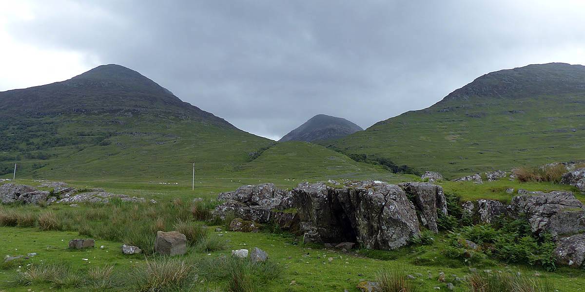
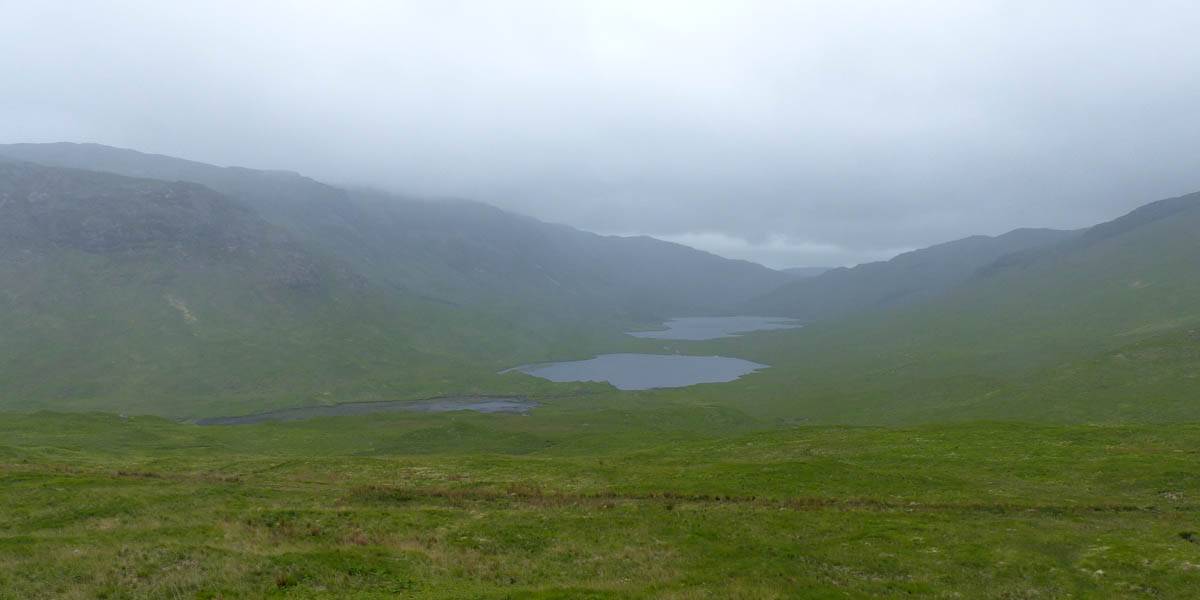
| Cloud capped mountains on the North side of Glen More. | Loch an Eilein, Loch an Ellen and Loch Airde Glais. | ||
 P1040576.jpg |
 P1040590.jpg |
 P1040592.jpg |
 P1040593.jpg |
 P1040594.jpg |
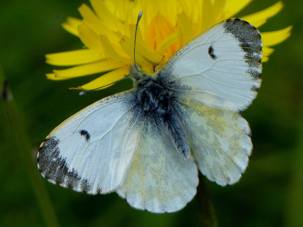
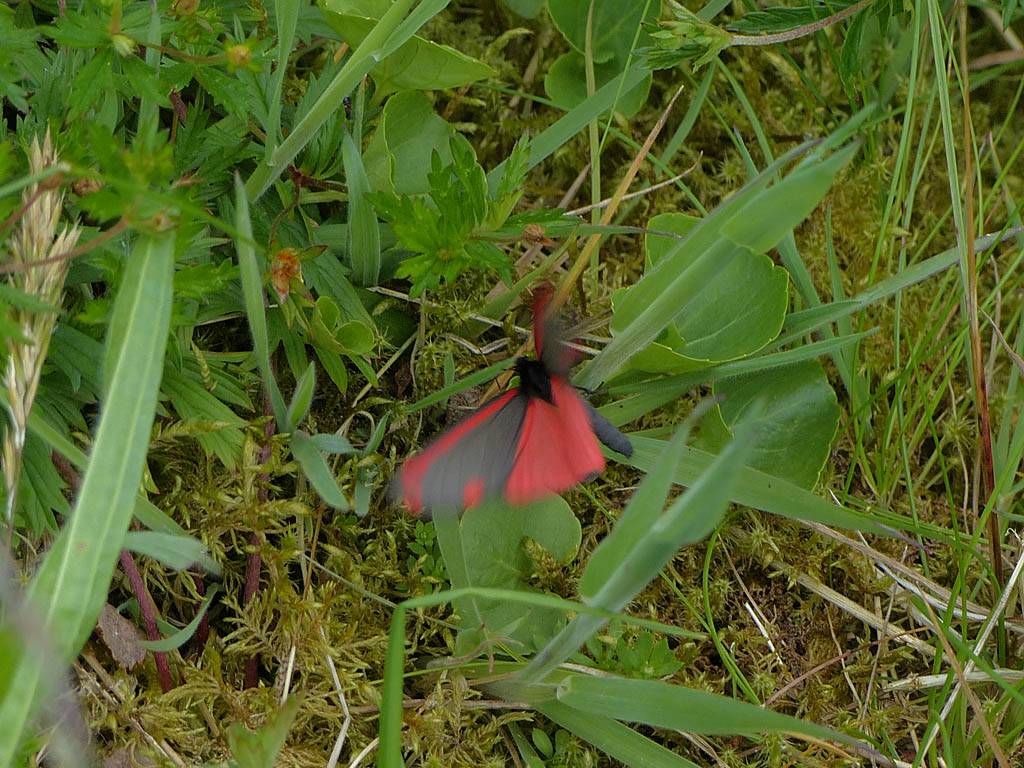
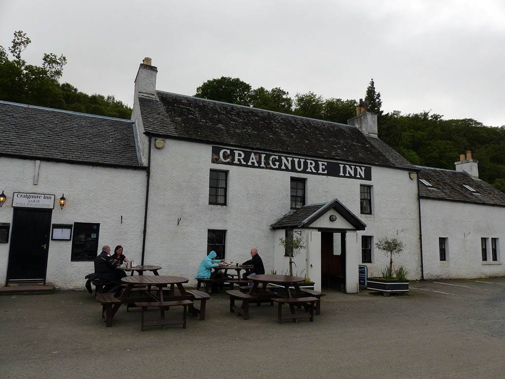
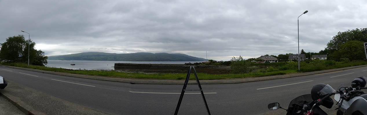 P1040595_597_Panorama.jpg |
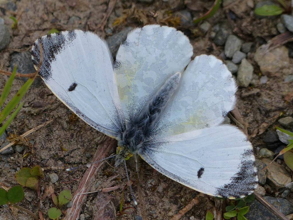
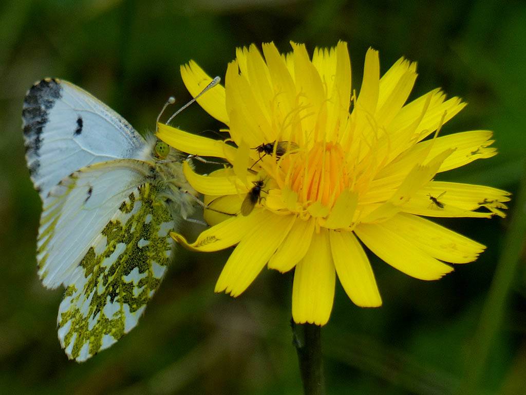
| Somewhere South of Craignure, Jack released two freshly emerged Female Orangetips that he had bred through from Caterpillars. (They occur naturally here so no problem. They are also normally out later than the Southern counterparts.) After feeding up on nectar the ladies soon took their maiden flights and were free. | Cinnabar moth at the release site. | The Craignure Inn pub where we stopped for tea. | Craignure Inn view Northeast across the Sound of Mull. | ||
On the way back to Tobermory we paused at Fishnish and also had a quick look at Aros park where a deer was spotted.
 P1040607.jpg |
 P1040614_615_Panorama.jpg |
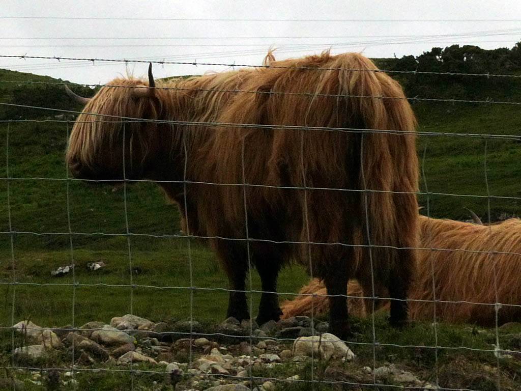 P1040619.jpg |
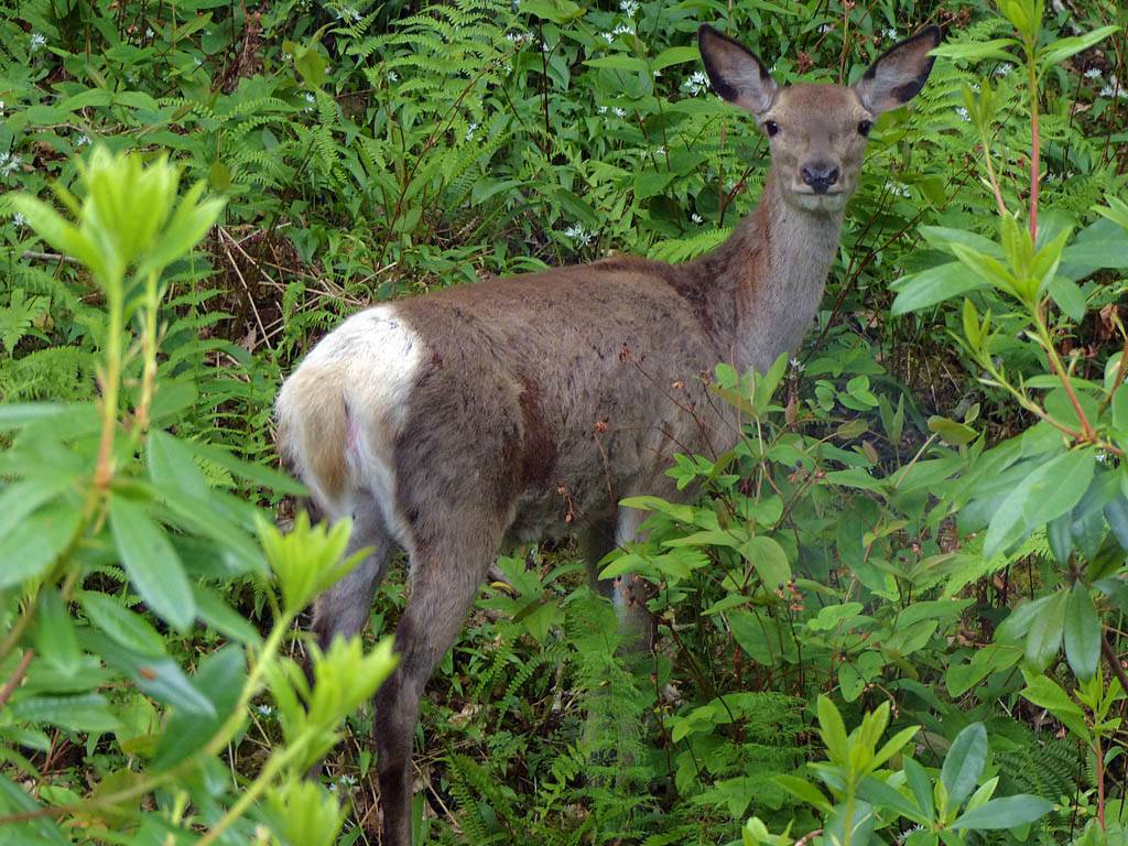 P1040630.jpg |
| Fishnish ferry. | Sound of Mull panorama. | Highland Cows. | Aros Park deer. |
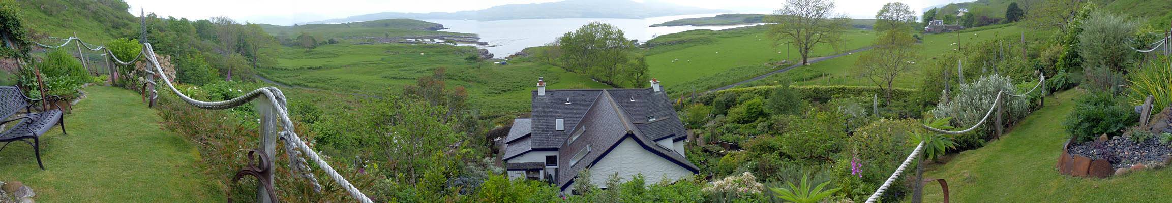
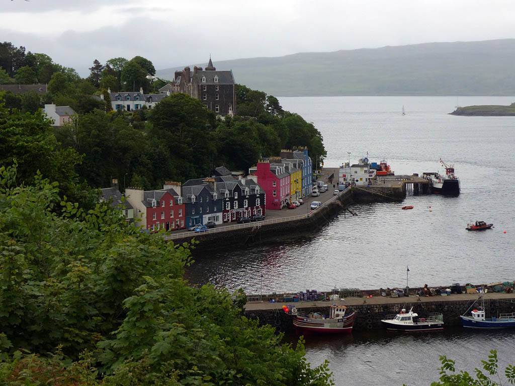
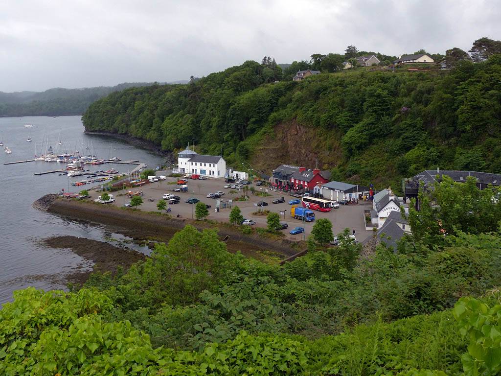
Back in Tobermory I found a vantage point on top of the hill close to Jack's place where there was a panoramic view over the bay. Here the houses were on one side of the road and a series of gardens on the other side on the hill's edge. A kind local resident let me go into her garden to get the best view I could.
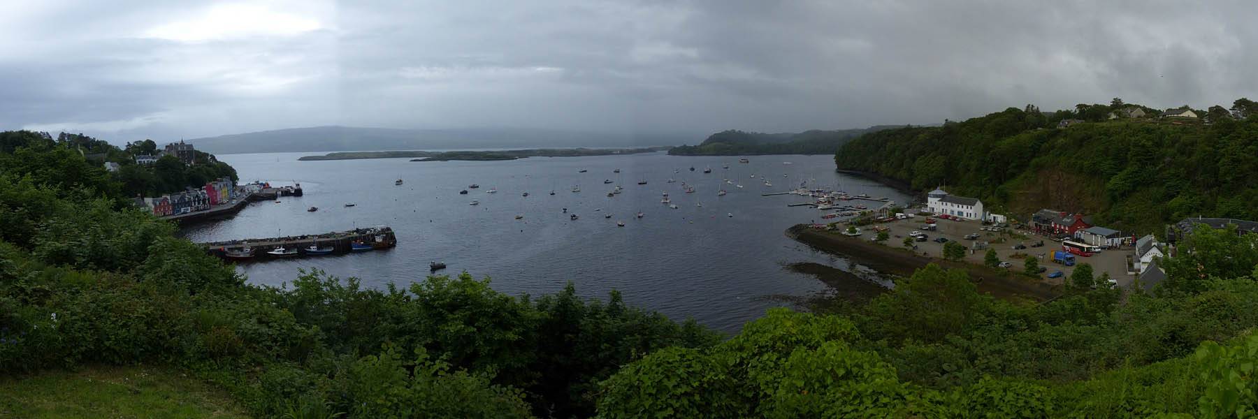 P1040654_657_Panorama.jpg |
 P1040658.jpg |
 P1040659.jpg |
| Tobermory Bay. | The Northern half of the main street. | Tobermory harbour. |
The bad weather continues tomorrow alas. So a slow start beckons and then a visit to Glengorm if the weather improves enough.
Day 0: Saturday 31st May 2014.
Day 1: Sunday 1st June 2014.
Day 2: Monday 2nd June 2014.
Day 3: Tuesday 3rd June 2014.
Day 4: Wednesday 4th June 2014.
Day 5: Thursday 5th June 2014.
Day 6: Friday 6th June 2014.
Day 7: Saturday 7th June 2014.
Click here to return to the General 2014 Pictures page.