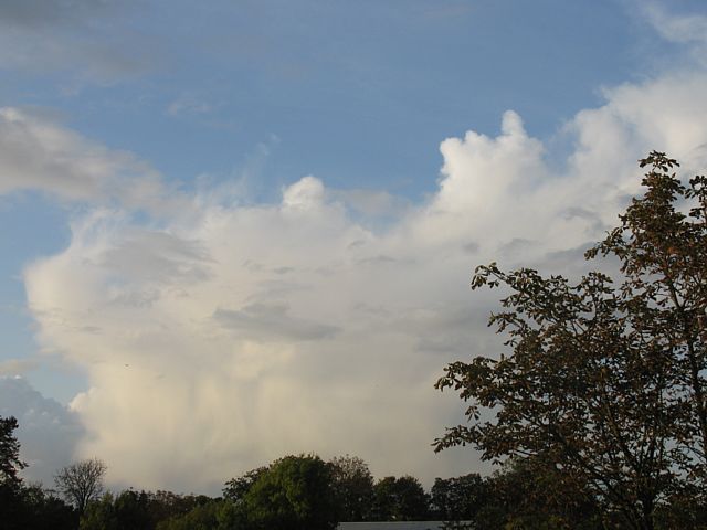
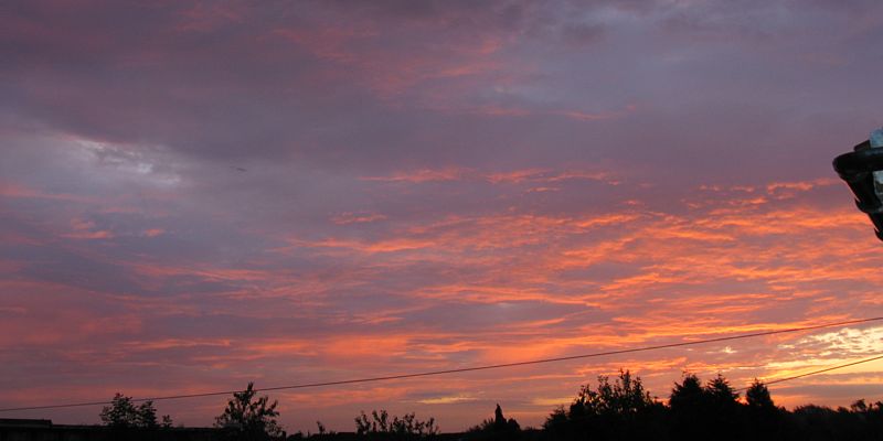
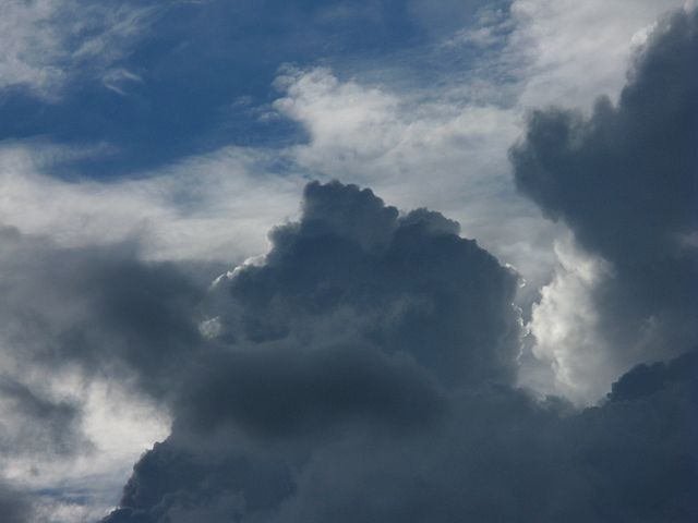
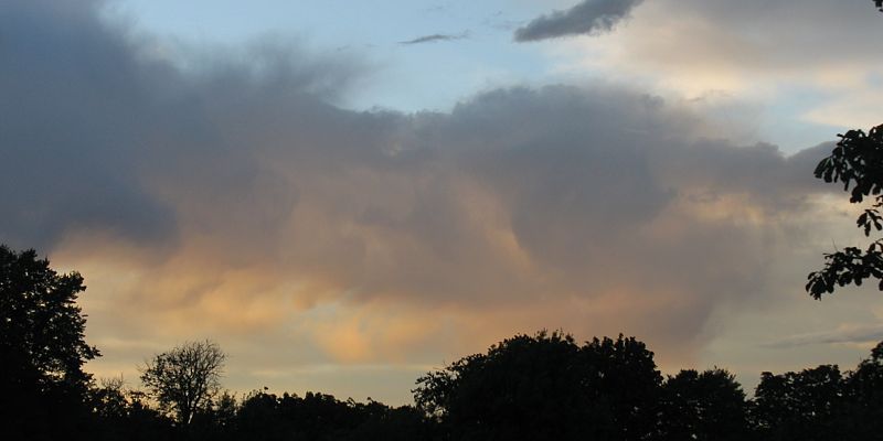
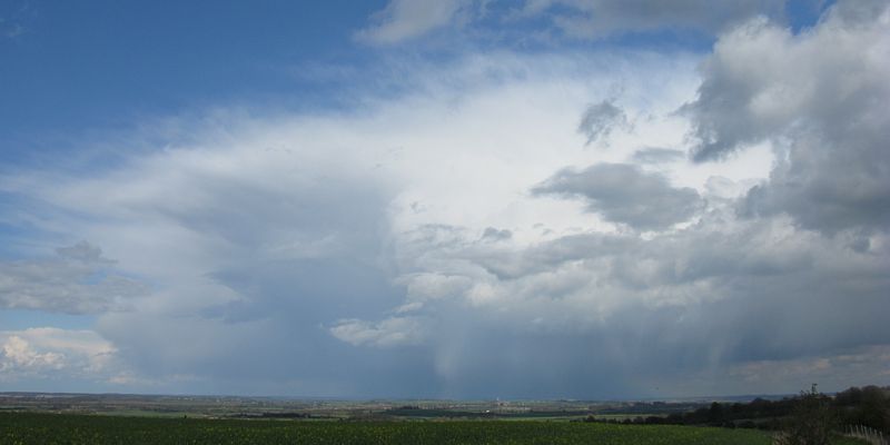
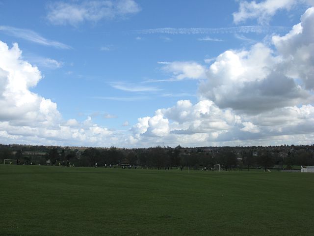
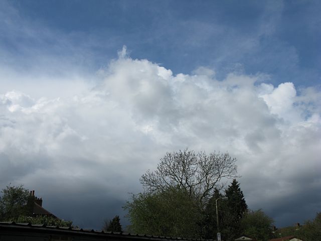
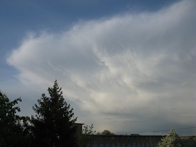
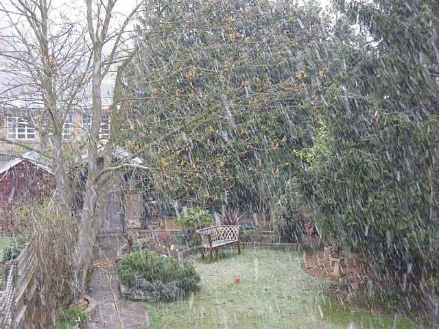
Shower1.jpg
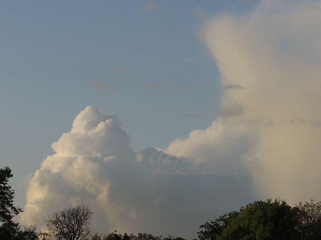
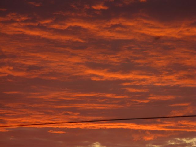
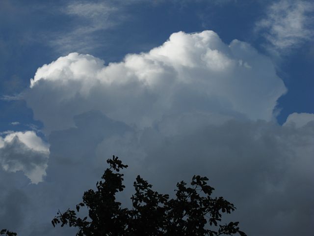
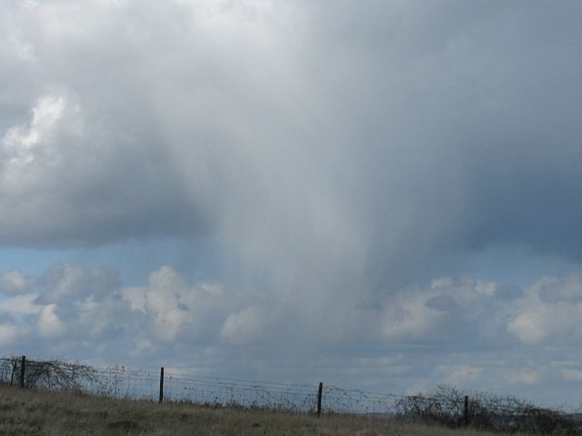
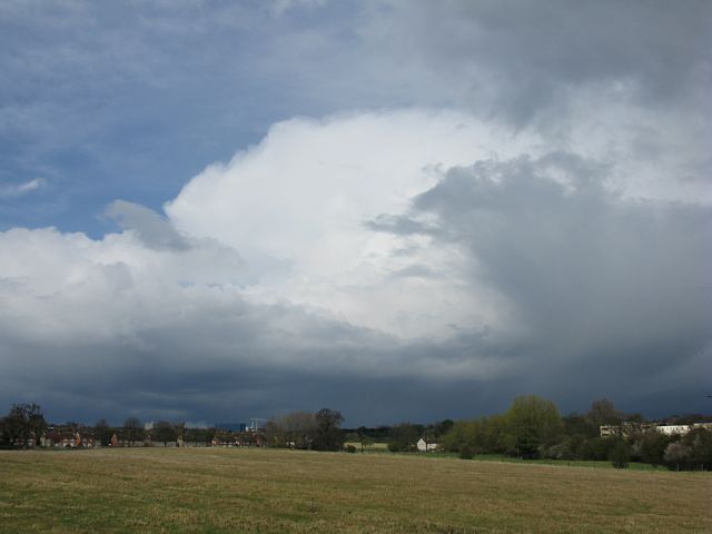
Shower2.jpg
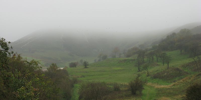
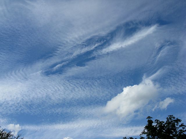
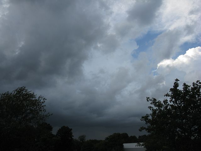
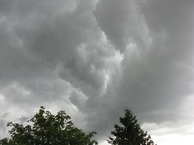
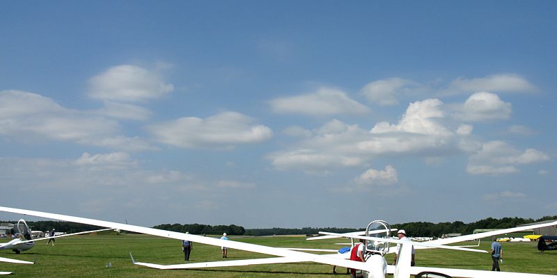
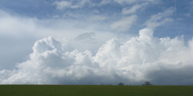
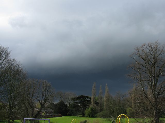
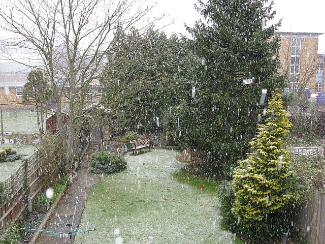
PascombPit1.jpg
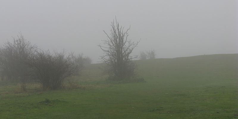
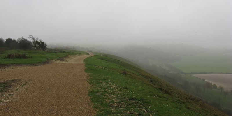
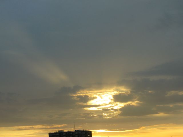
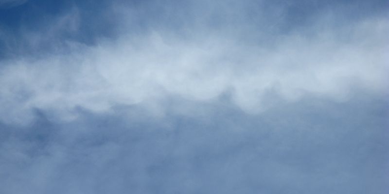
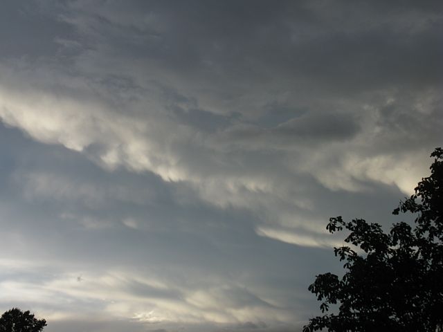
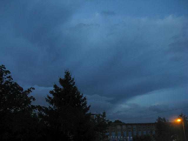
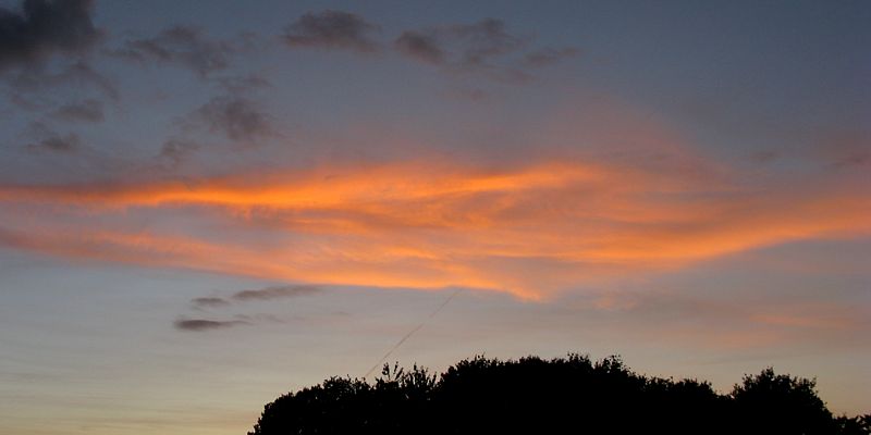
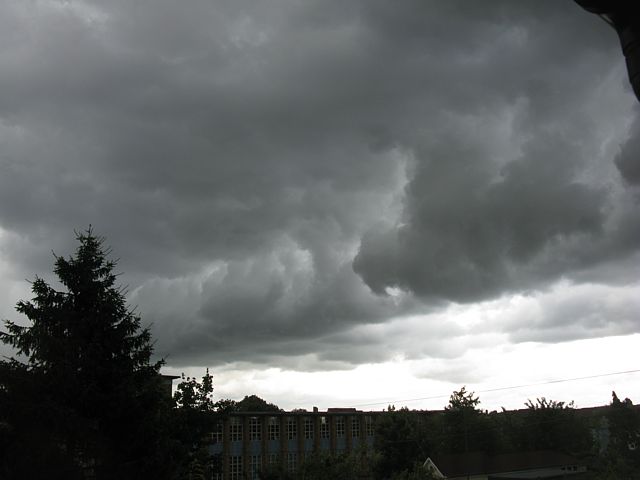
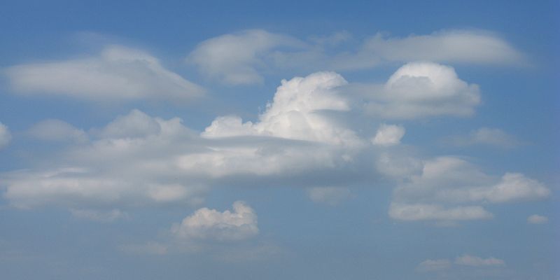
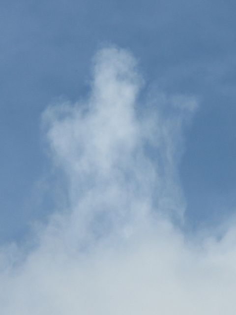
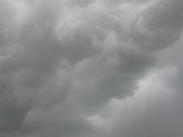
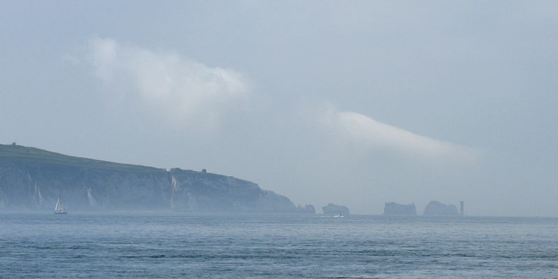
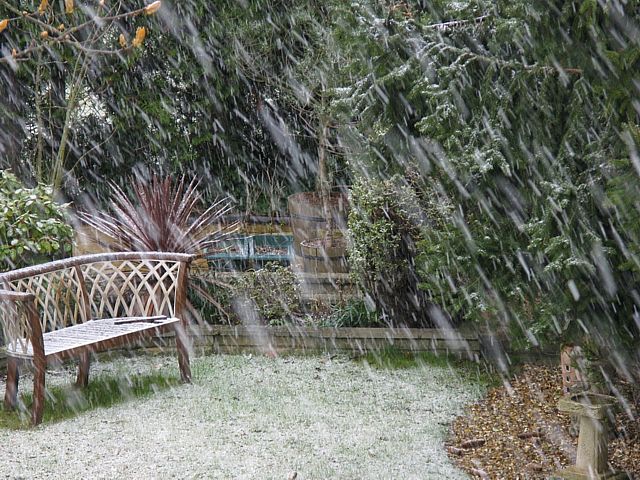
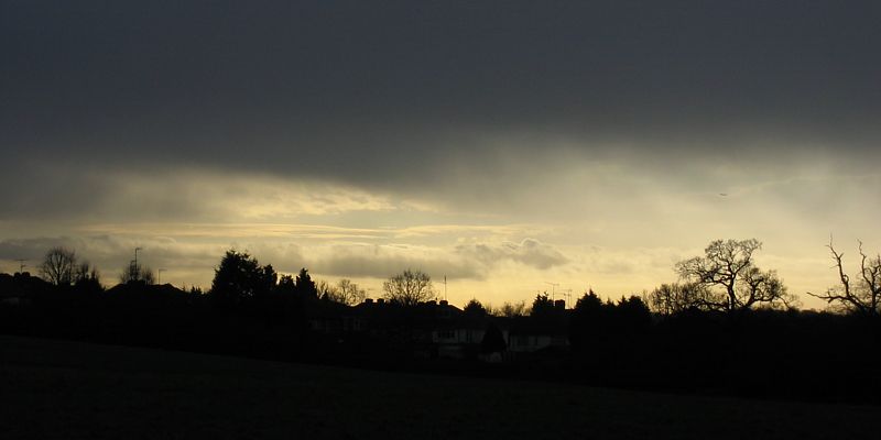
RidgeTopFog1.jpg
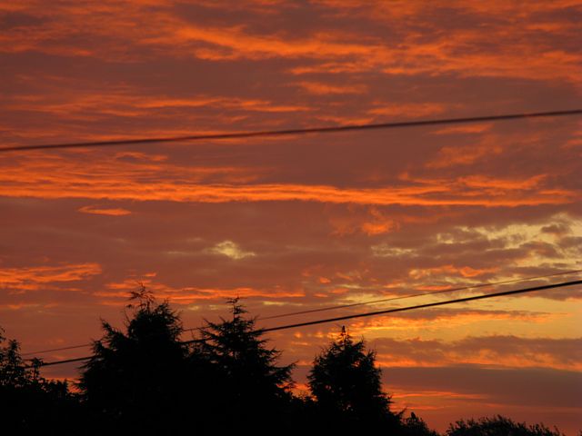
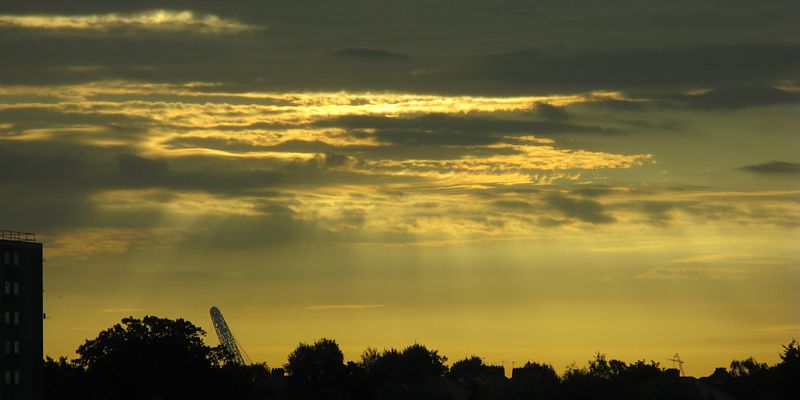
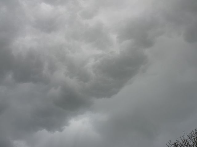
RidgeTopPath.jpg
Click here to return to the main Pictures index.
Click here to go to the 2009 images.
Click here to go to the 2007 images.
More pictures of clouds, some taken from at or above cloudbase, can be found in the Gliding 2008 Pictures page.
|
Shower1.jpg |
Shower2.jpg |
PascombPit1.jpg |
RidgeTopFog1.jpg |
RidgeTopPath.jpg |
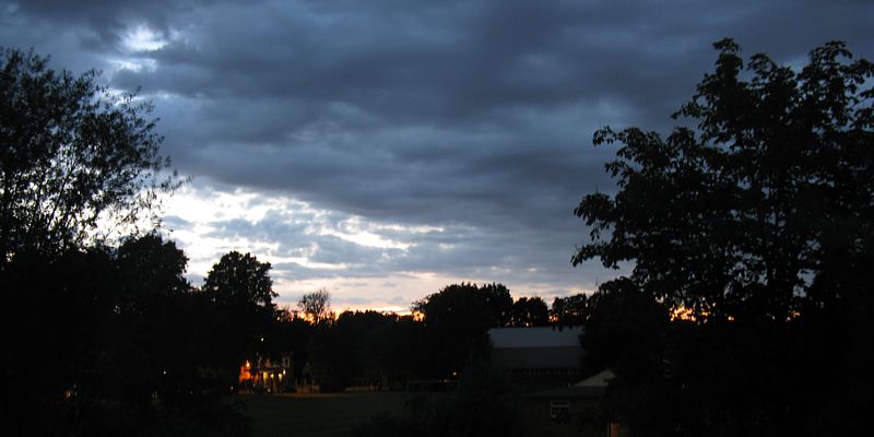
| Large shower clouds drifting past Kenton. | Views from the Dunstable Downs below and on top of the ridge. On this day cloudbase was just below the ridge top. | |||
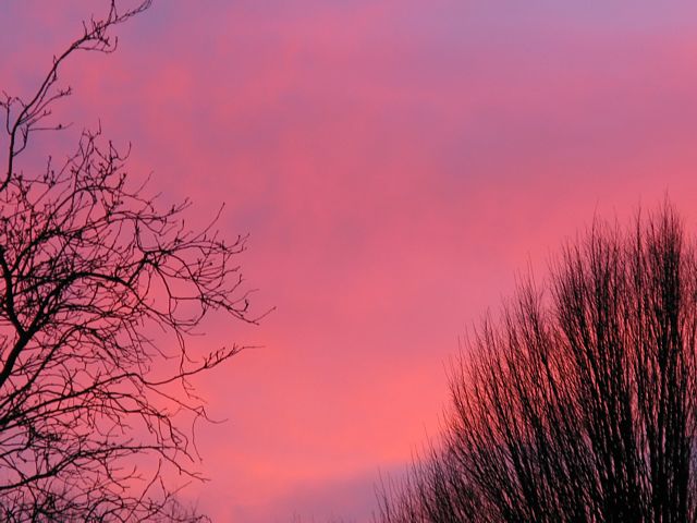
 Sunrise1.jpg |
 Sunrise2.jpg |
 Sunrise3.jpg |
 Crepuscular1.jpg |
 Crepuscular2.jpg |
| Vivid sunrise in Kenton as I got up to go to work. | Early morning crepuscular rays in Greenford as the sun rises above a broken layer of cloud. | |||
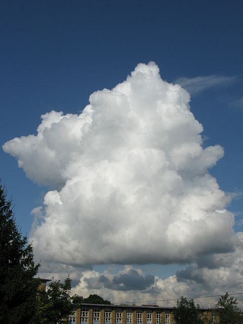
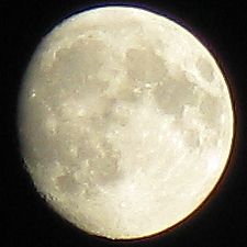
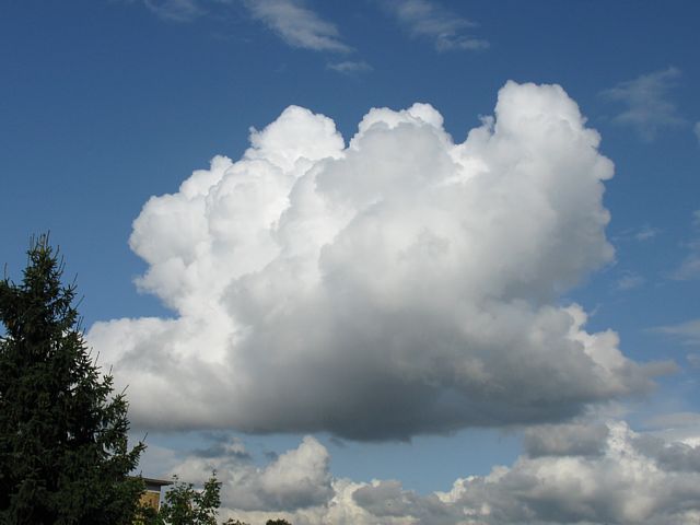 Cumulus1a.jpg |
 Cumulus1b.jpg |
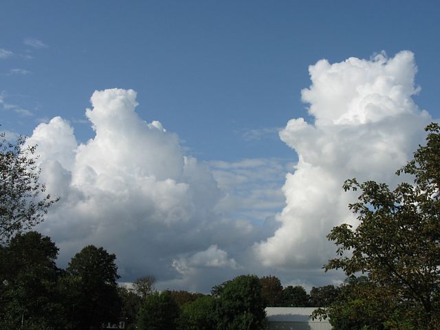 Cumulus2a.jpg |
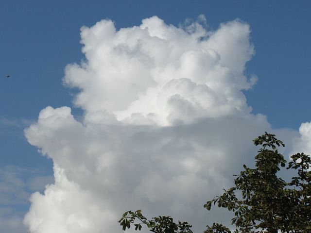 Cumulus2b.jpg |
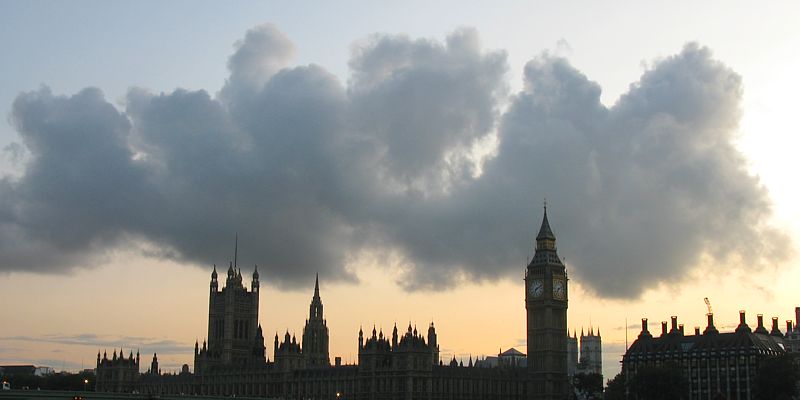 Cumulus3.jpg |
 Moon.jpg |
| Two shots of a rspidly building cumulus cloud in Kenton. | Another cloud to the north. One of the clouds (closeup) looks like a teddy bear cradling a baby? | Cumulus over the houses of parliament. | The moon looks bigger with my new camera's extra megapixels and zoom. | ||
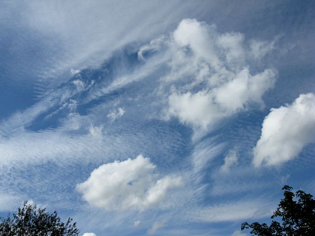
 Clouds1.jpg |
 Clouds2.jpg |
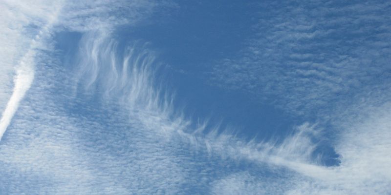 Clouds3.jpg |
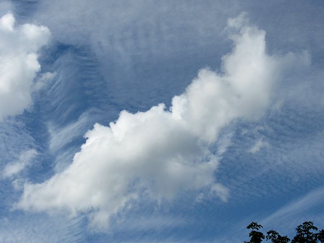
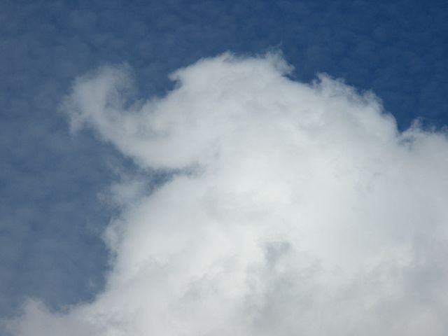 Clouds4.jpg |
 Clouds5.jpg |
 Clouds6.jpg |
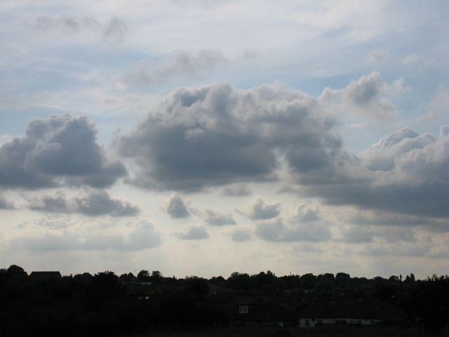
| Does this cloud look like a dinosaur walking by? | Spectacular cloudscape. | A broken comb in the sky. | Is an elephant hiding in this cloud? | Another spectacular cloudscape. | Zoom in of the edge of the cloud hole in the previous pic. |
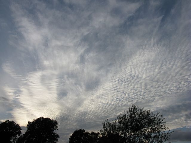
 MackerelSky.jpg |
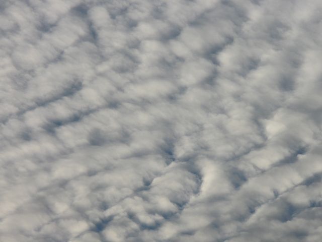
 Ripples.jpg |
 Cloudscape.jpg |
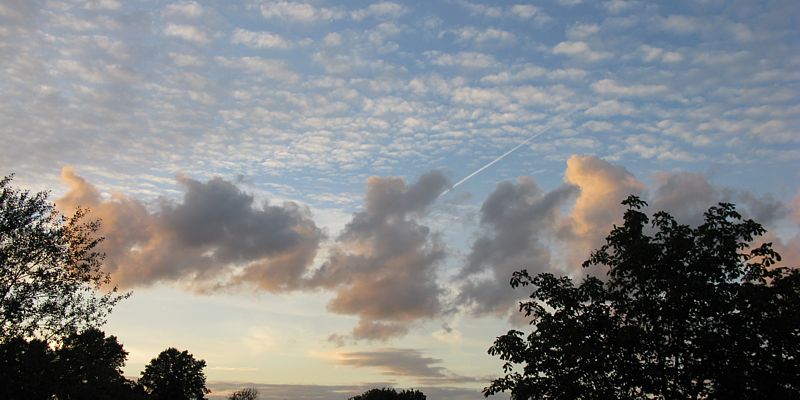 SunsetClouds.jpg |
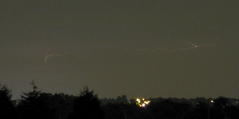 DistantLightning.jpg |
 Clouds1.jpg |
| Spectacular cloudscapes one evening above Kenton. | A thunderstorm in the far distance seen after dark from Kenton. | Cunims building ahead of a Kenton thunderstorm. | |||
 Clouds2.jpg |
 Clouds3.jpg |
 Clouds4.jpg |
 Clouds5.jpg |
 Sunset.jpg |
 PostSunsetClouds.jpg |
| Cunims building ahead of a Kenton thunderstorm. | The thunderstorm and cloud formations as it clears to the East. | Decaying showery clouds lit by the sunset. | More showery clouds in the post sunset twilight. | ||
 Clouds1.jpg |
 Clouds2.jpg |
 Sunset.jpg |
| Late afternoon cumulus with broken stratus on top at Lasham Airfield. | Lasham sunset. | |
 BacklitCumulus.jpg |
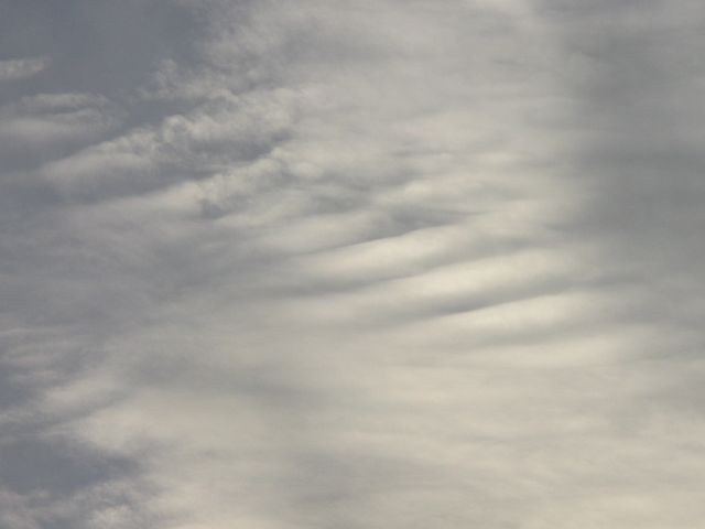
 WaveyClouds.jpg |
 Virgae.jpg |
 PostSunset.jpg |
 LowCloud1.jpg |
 LowCloud2.jpg |
| Backlit cumulus dimmed by overhead cirrus. | Wavey looking cumulus clouds. | Virgae above Kenton. | Moody post sunset sky. | A shelf of low cloud passing Kenton as a shower moves in. | |
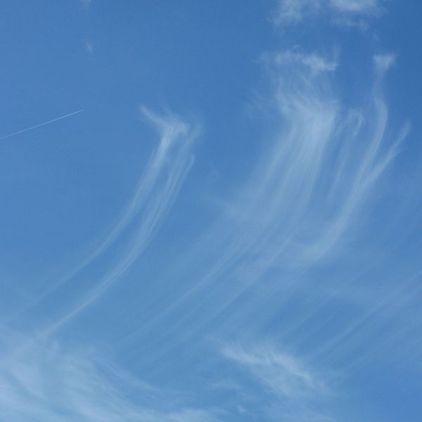
 Filaments.jpg |
 LenniesPileus1.jpg |
 LenniesPileus2.jpg |
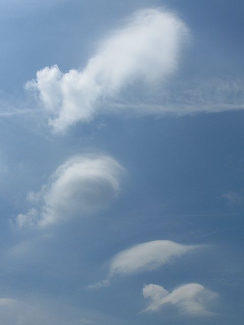
| Spidery filaments of alto level cloud drifting by. | Two shots of a wavey looking sky as thermals start popping over Lasham in Hampshire. Curious given no wind on the ground. The lennies didn't last though. | |
 Shower1.jpg |
 Shower2.jpg |
 NiceStart.jpg |
 Clouds1.jpg |
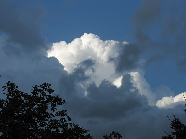
 Cb1.jpg |
 Clouds2.jpg |
| Shower clouds as seen from Sharpenhoe Clappers in Bedfordshire. | A gorgeous looking sky full of cumulus. | Towering cumulus and cumulonimbus clouds rising over a grassy knoll. | Cumulonimbus cloud. | Is that a ghost rising up from the top of a shower cloud? | |
 Clouds3.jpg |
 Cb2.jpg |
 Mammatus1.jpg |
 Mammatus2.jpg |
 TS.jpg |
 Needles.jpg |
| Approaching shower. | Another approaching shower. Time to get wet again. | Two shots of mammatus. | Back end of a thunderstorm in Kenton exhibiting mammatus. | Low orographic cloud forming over the Needles, Isle of Wight. | |
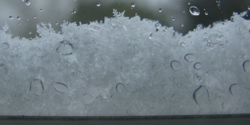
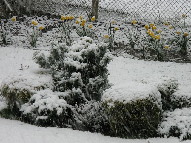
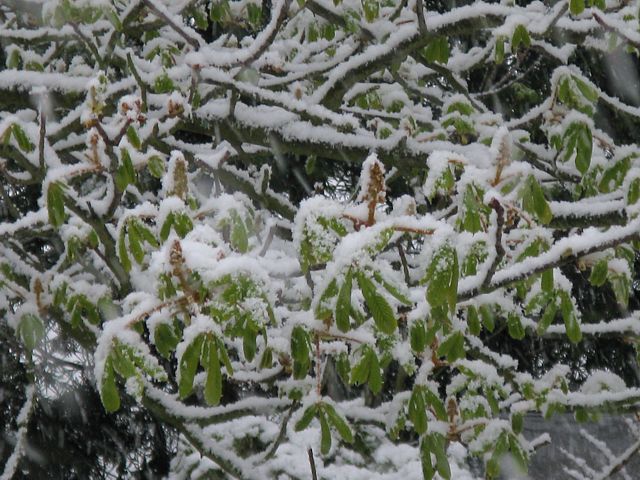
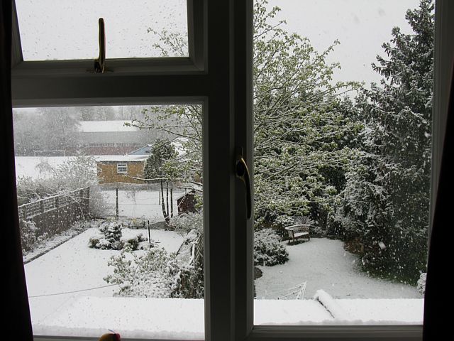
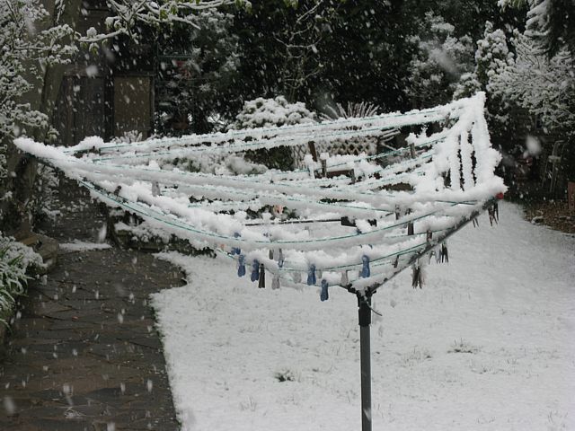
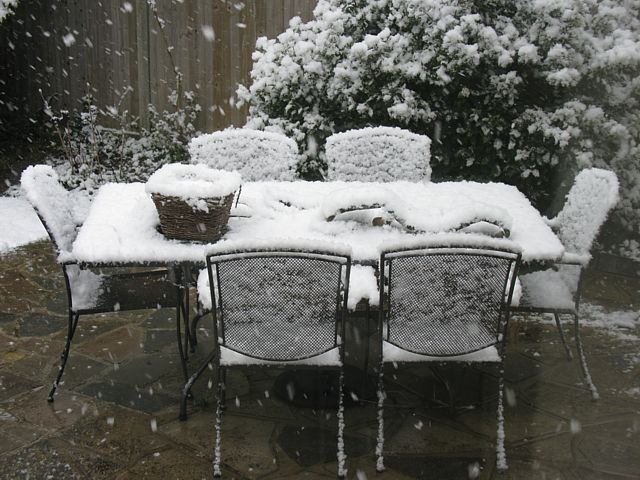
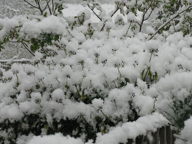
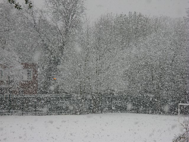
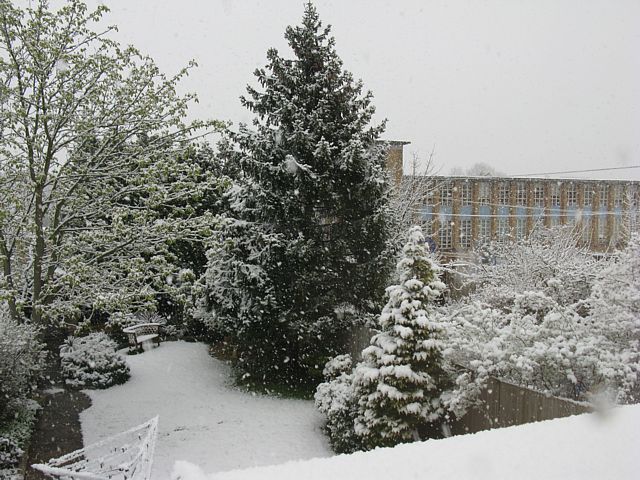
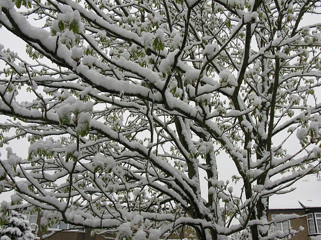
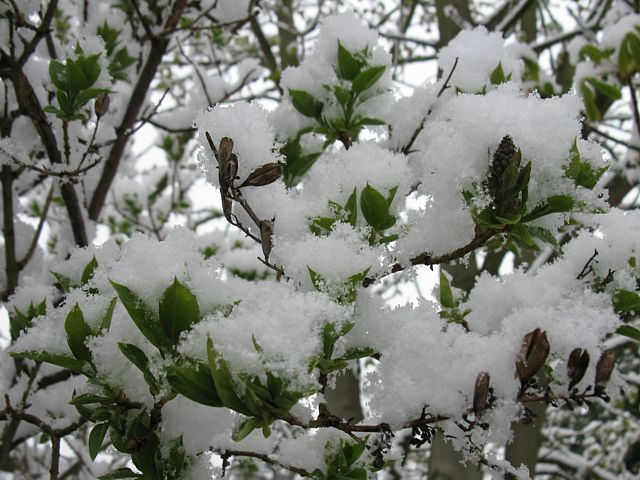
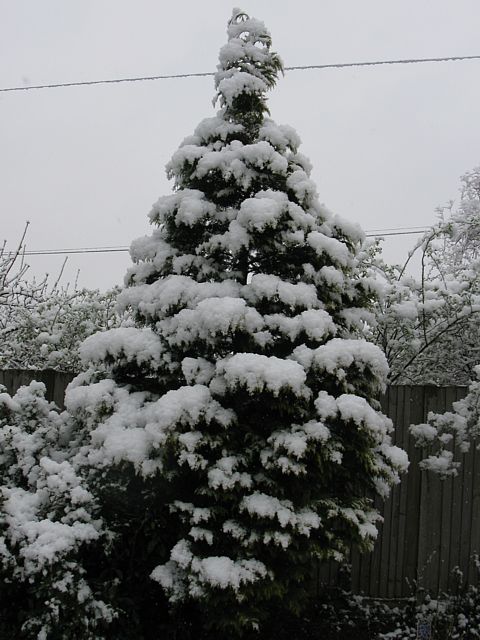
It happened again! Winter bites back. I've never seen this much snow in April before. Those poor spring butterflies, insects, birds, leaves and shoots tempted out by near T-shirt weather last week were in for a shock. This snow picture special hints at how much I love the stuff, being a rarity these days in London. It still melted away by mid afternoon as the sun came out and warmed things up.
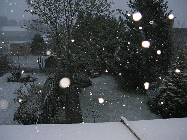 Snow1.jpg |
 Snow2.jpg |
 Snow3.jpg |
 Snow4.jpg |
 ViewOutOfWindow.jpg |
 Snow5.jpg |
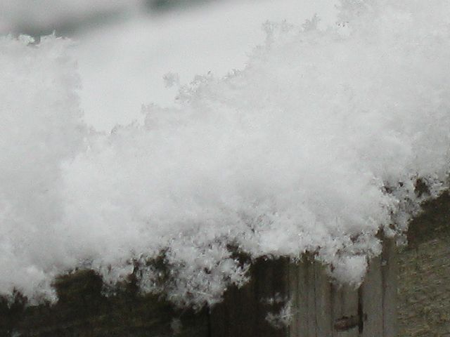
| Illuminating falling flakes with the flash (maximum intensity) in the gloom just before 7AM. | Snow crystals piling up on the window sill. | Snow covering daffodils and plants next door, as well as baby spring leaves and emerging blossom on the conker tree - rather surreal in some ways. | A gorgeous view out of the window. | This was very sticky snow. It stuck to anything that was cold enough. | |
 Snow6.jpg |
 SnowCloseup1.jpg |
 SnowCloseup2.jpg |
 Snow7.jpg |
 Snow8.jpg |
 SnowCloseup3.jpg |
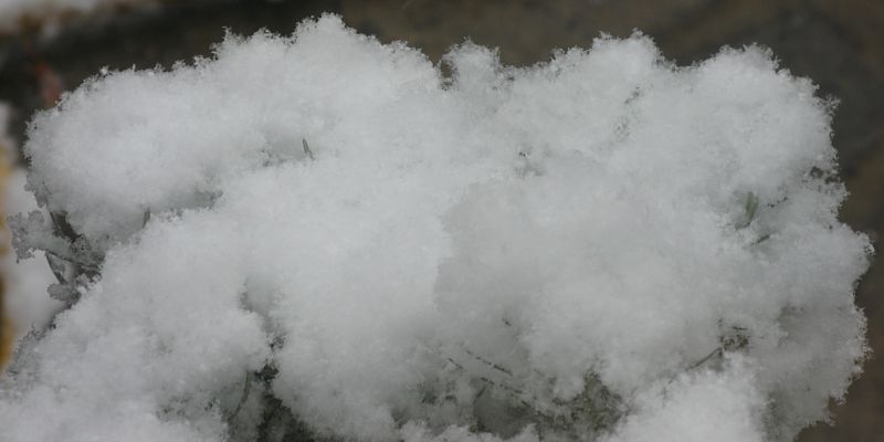
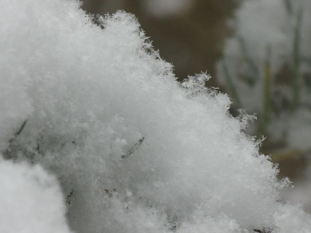
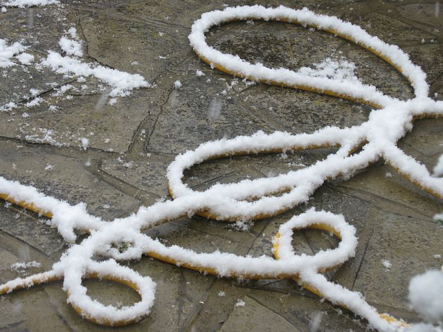
| Anyone for a picnic? Snow depth approaching 5cm. | Two closeups of the snow gathering on one of my baby pine trees. It looks just like the cotton wool they use in santa grottos. | I guess the hosepipe is a good insulator then. | Snow clumping on ivy seed heads and making a pretty pattern. | Another closeup showing individual flakes sticking together on top of a trellis. | |
 Snow9.jpg |
 Snow10.jpg |
 Snow11.jpg |
 Snow12.jpg |
 Snow13.jpg |
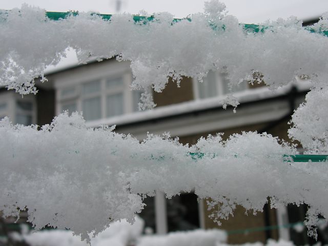 SnowCloseup4.jpg |
| Zooming North, the snow was pretty heavy, but slow and bright enough to freeze the large flakes in mid air. | The customary shot of the garden as the snow depth peaks. | Another shot of the conker tree from the North side. | I've never seen snow on lilac leaves before either. | A pretty snow covered conifer. | Closeup of the snow on the washing line. |
 FallingSnow1.jpg |
 FallingSnow2.jpg |
 FallingSnow3.jpg |
 FallingSnow4.jpg |
| Not a single flake all winter. Then we get a white Easter! | Sky shot of cumulonimbus with lots of snow dropping out. | Using the flash to speed up the shutter. Also gave the falling flakes pinheads. | Zoom shot of the back of the garden. Temporary ground cover soon melted though. |
 BarnhillSky.jpg |
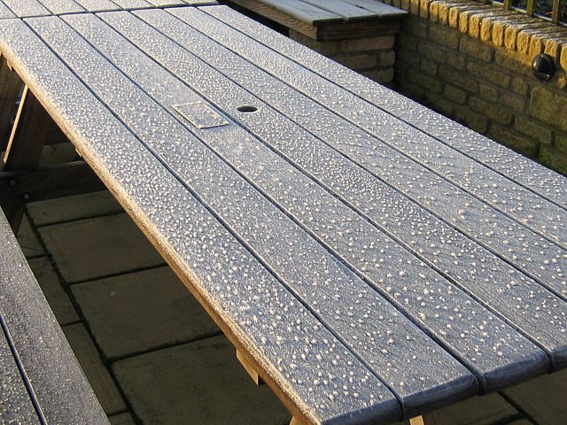 Frost1.jpg |
 Frost2.jpg |
 Virga.jpg |
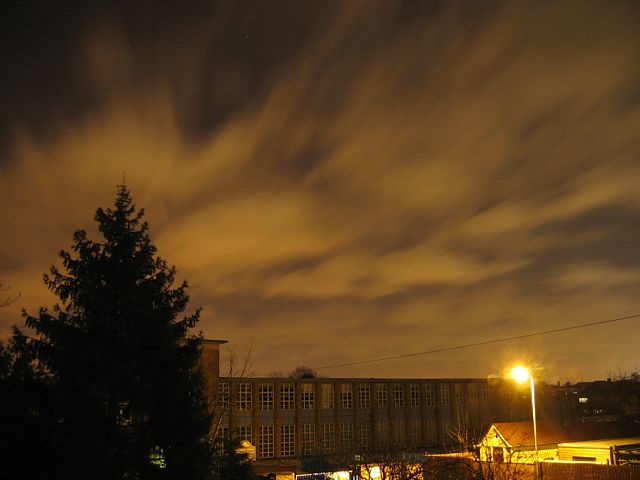 NightClouds1.jpg |
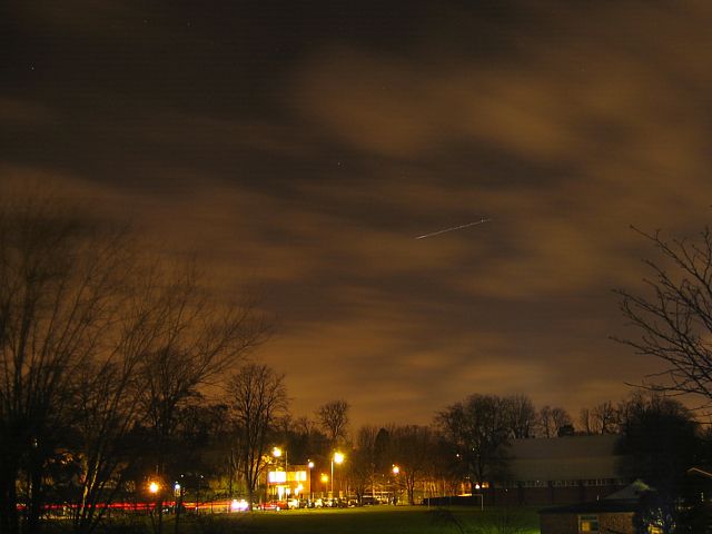 NightClouds2.jpg |
| Distant clearance in the dark clouds above Barnhill. | Frosty bench early one cold morning at Lasham Airfield. Frozen raindrops with hoar frost formed on top. | Virga caused by ice crystals dropping out of altocumulus clouds. | Two 15 second exposures taken one windy night in Kenton. Tree branches look fuzzy because they were being blown about. Low cumulus clouds lit up by London streetlights drifting by quickly. I think the streak in the sky in the 2nd shot is a passing aeroplane. | ||
 Sunset.jpg |
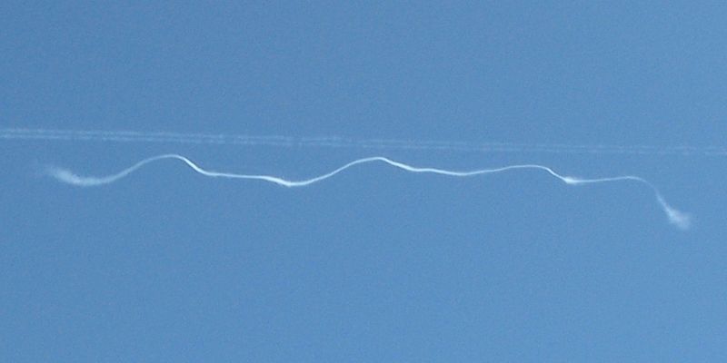 Contrail1.jpg |
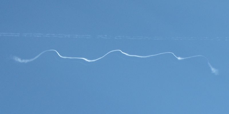 Contrail2.jpg |
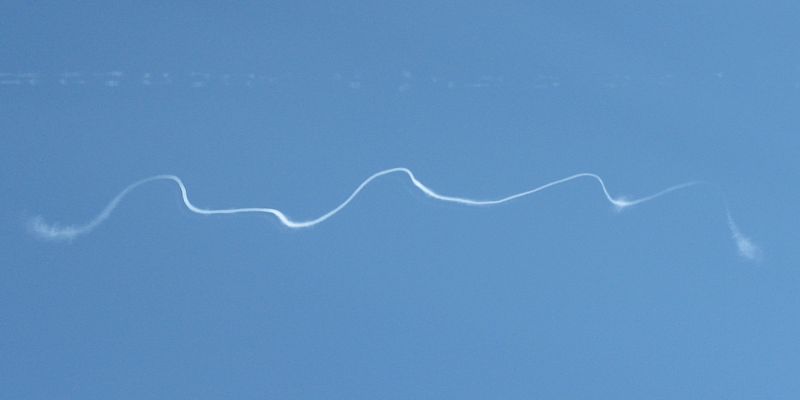 Contrail3.jpg |
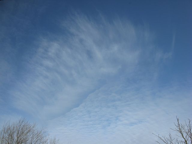 Cirrus.jpg |
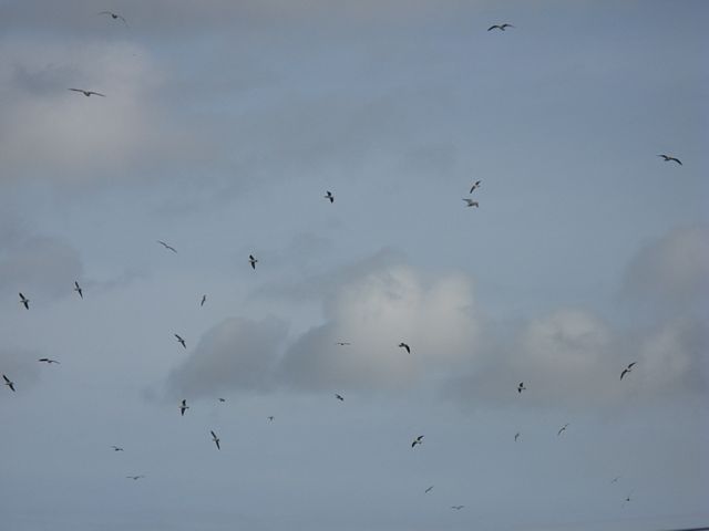 GullsThermalling.jpg |
| First A650IS sunset. | A sequence of shots of a contrail. At first it was a regular contrail like the 2nd fading one in the shot. Then this section, instead of fading, seemed to form some sort of persistent vortex which got more vivid and contorted, perhaps caused by some local clear air turbulence? After the 3rd shot it as lost from view behind the house. | Wide view of an intricate cirrus cloud. | Gulls gathering and soaring a weak thermal. | ||
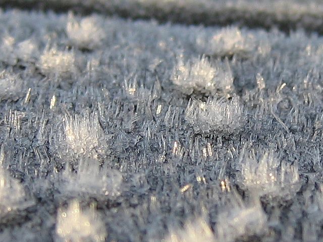
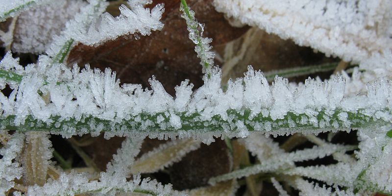 Frost1.jpg |
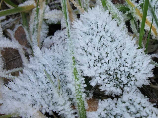 Frost2.jpg |
| Frost buildup on grass in the icy shadows over several days. | |